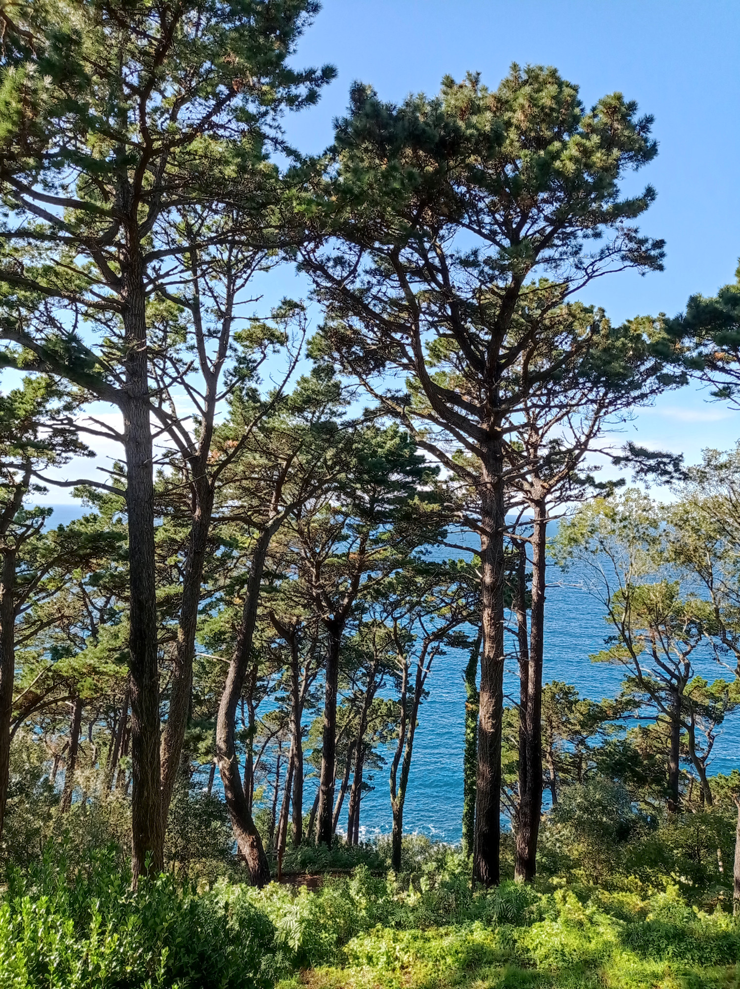
After two weeks of surfingin Portugal, I headed back north, to the Spanish region of Galicia. They must have great beaches and surf-spots, but I hear that many of them are pretty remote. Traveling by bus/train and not having infinite time left, I decided to leave Galician waves for some other time and to head further east. But since I was coming through anyway, I decided to have quick peek at Santiago…
Santiago de Compostela
Galicia’s capital is world-famous for being the destination of the Camino de Santiago. So whenever you’re at a train-station, bus-stop, hostel, or country road in northern Spain or northern Portugal, you’ll have a good chance to meet pilgrims on their hike to Santiago. I’m not overly keen on the religious background of “The Camino”, but some secular folks who do it, too. They just enjoy the hiking, the scenery along the way, or their timeout from day-to-day life.
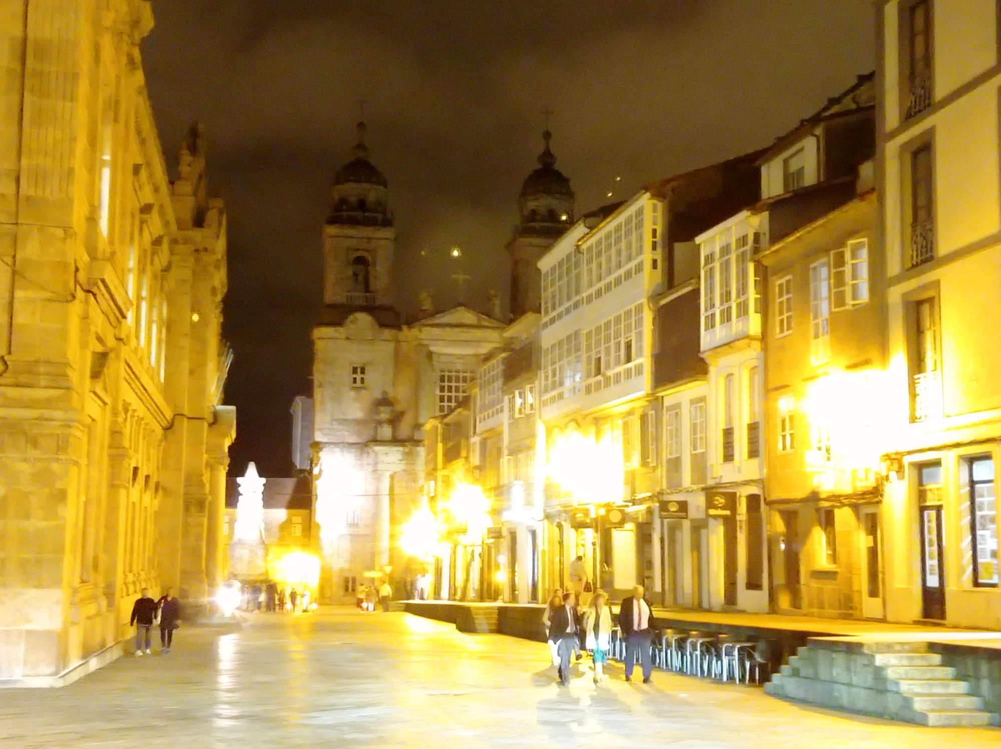
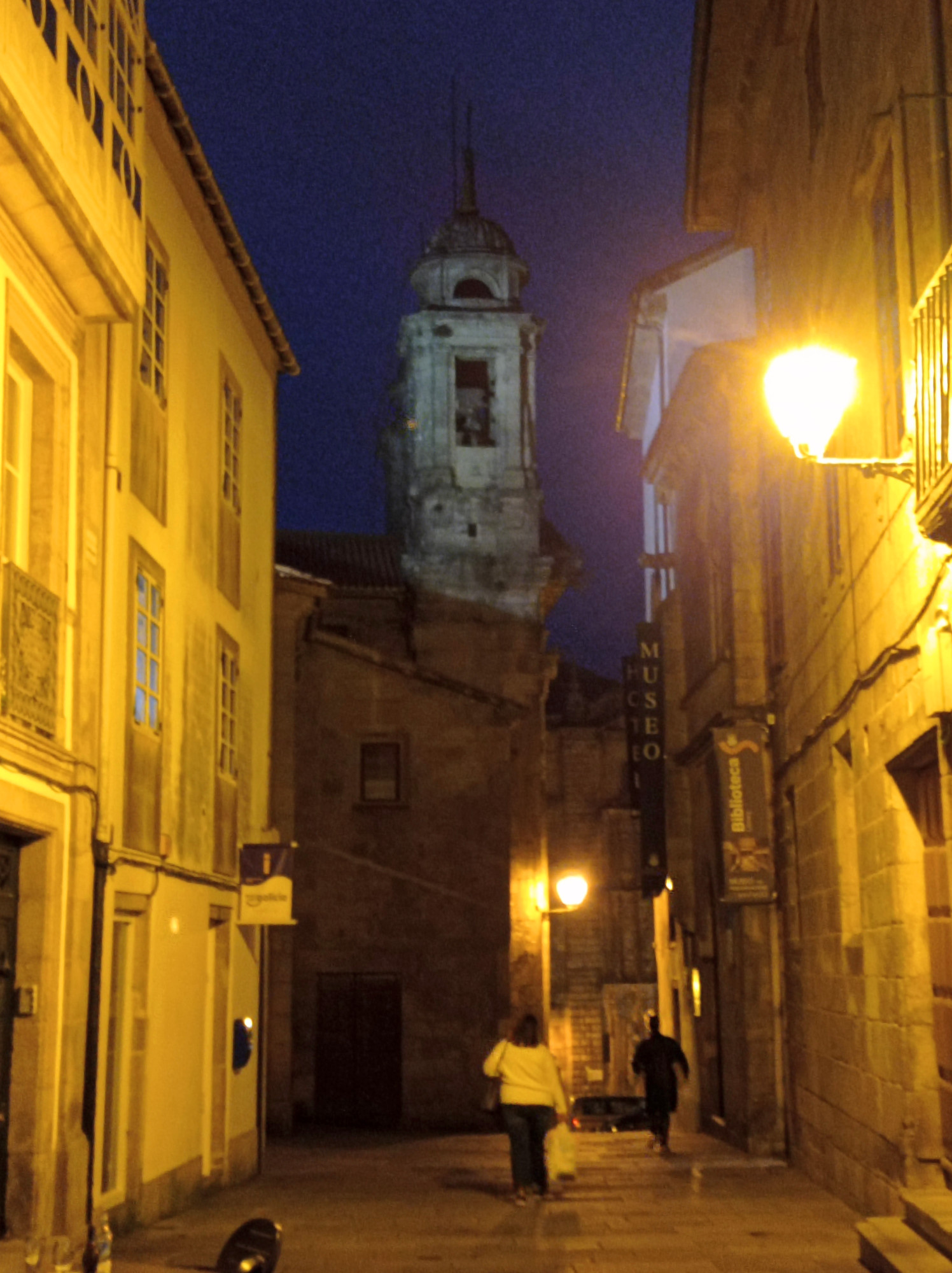
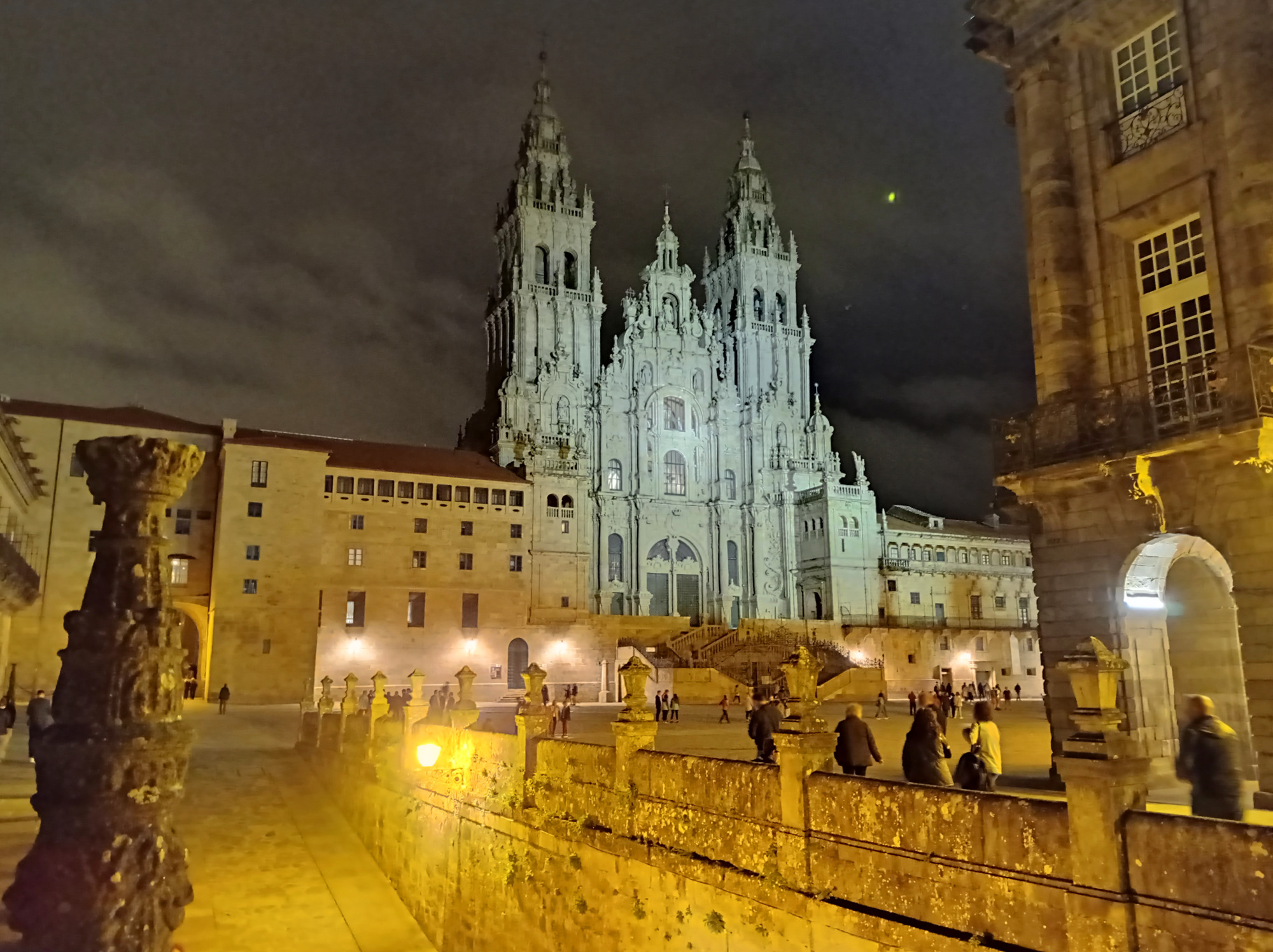
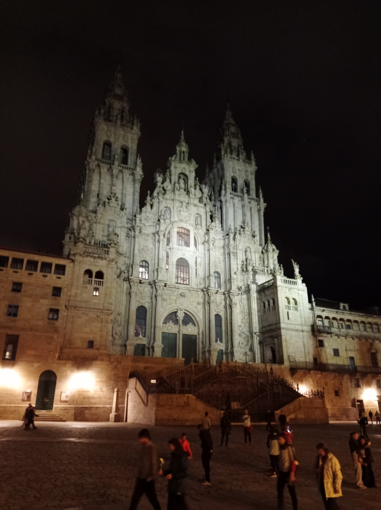
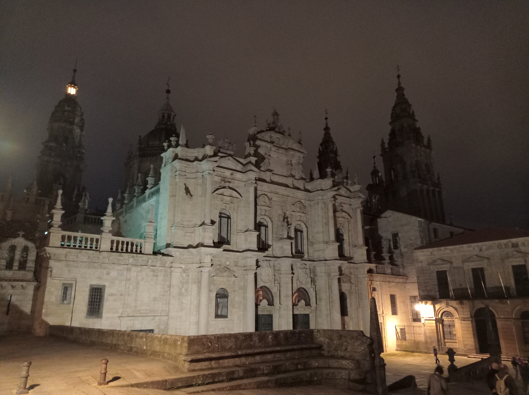
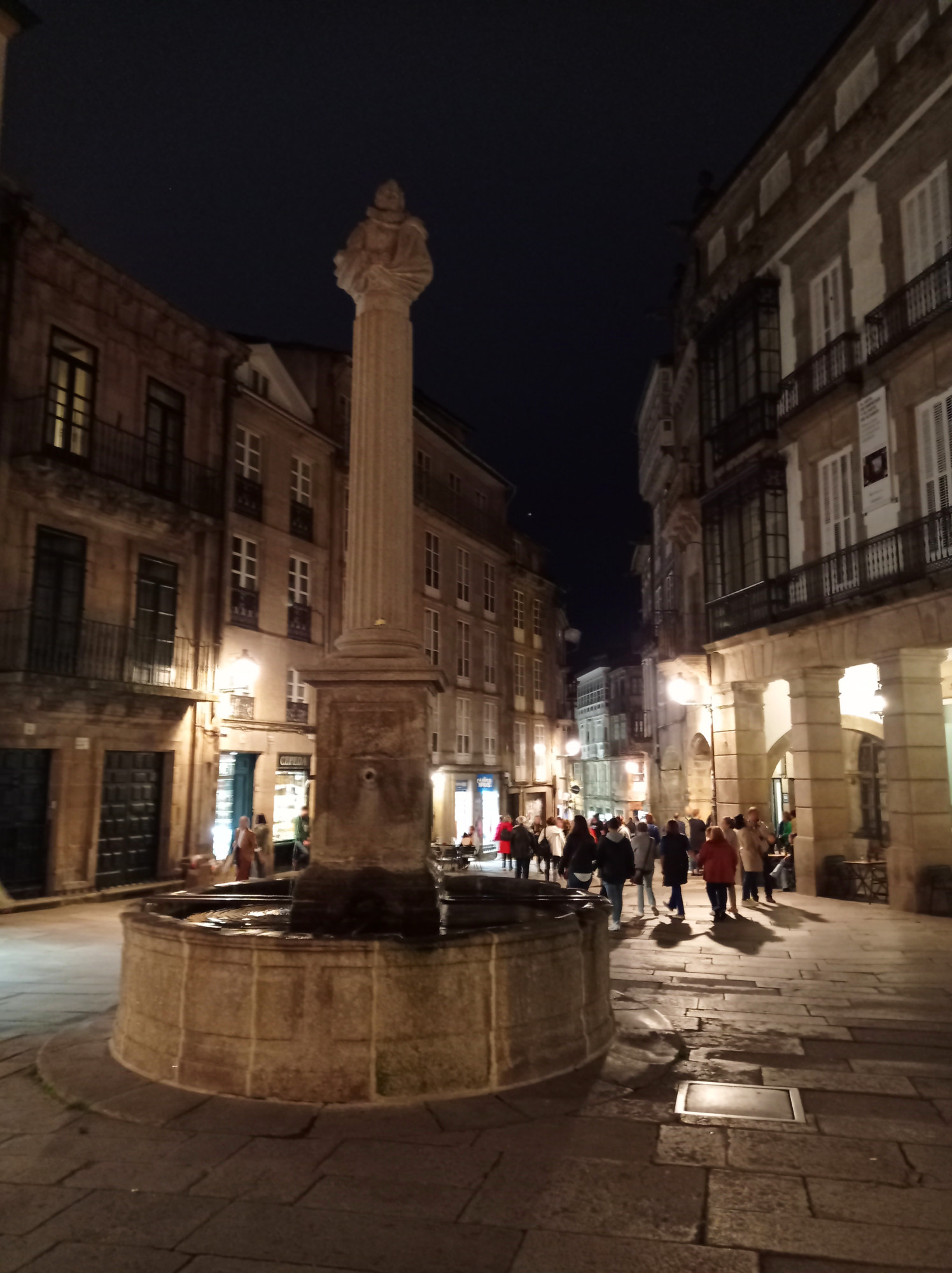
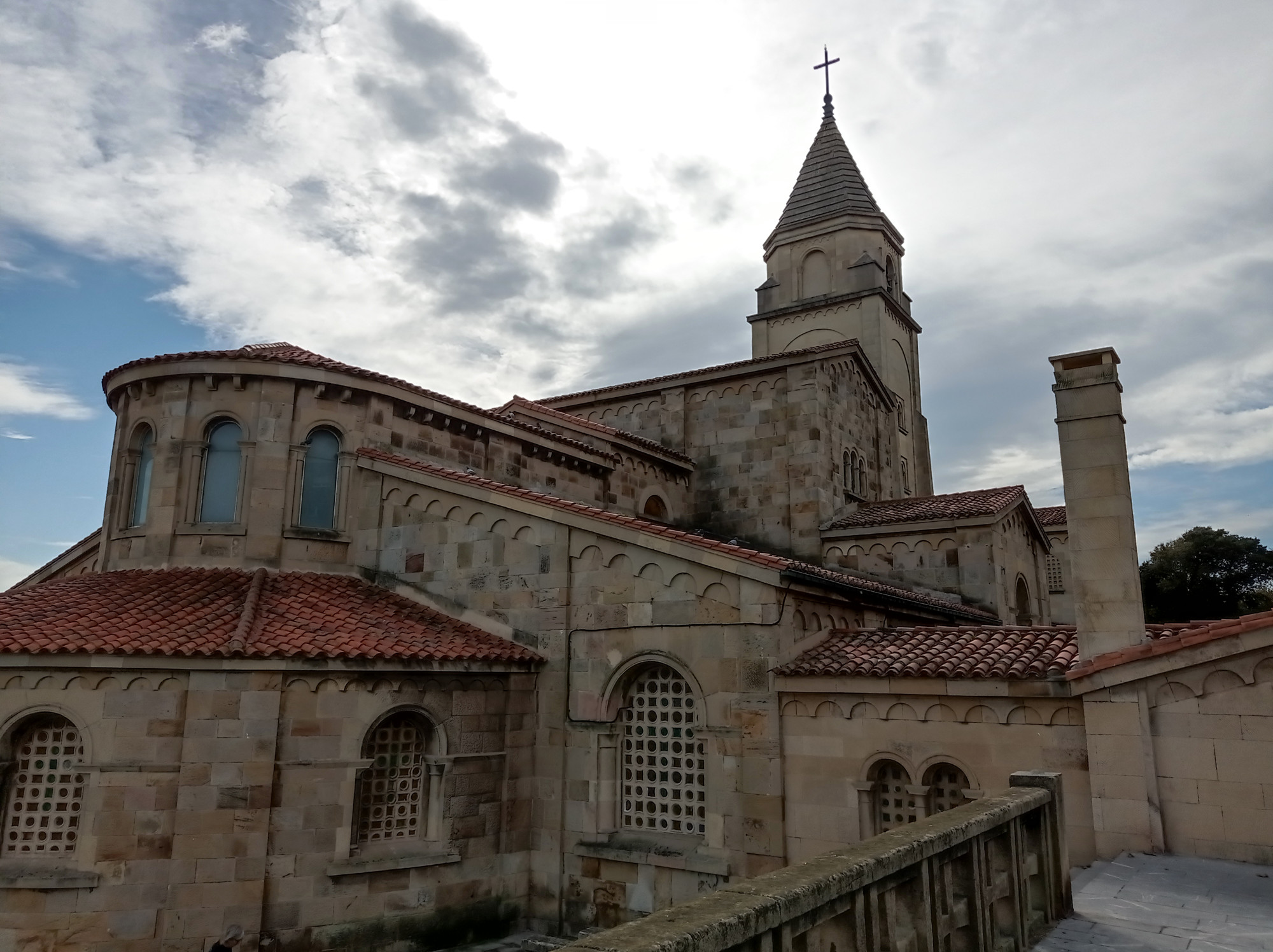
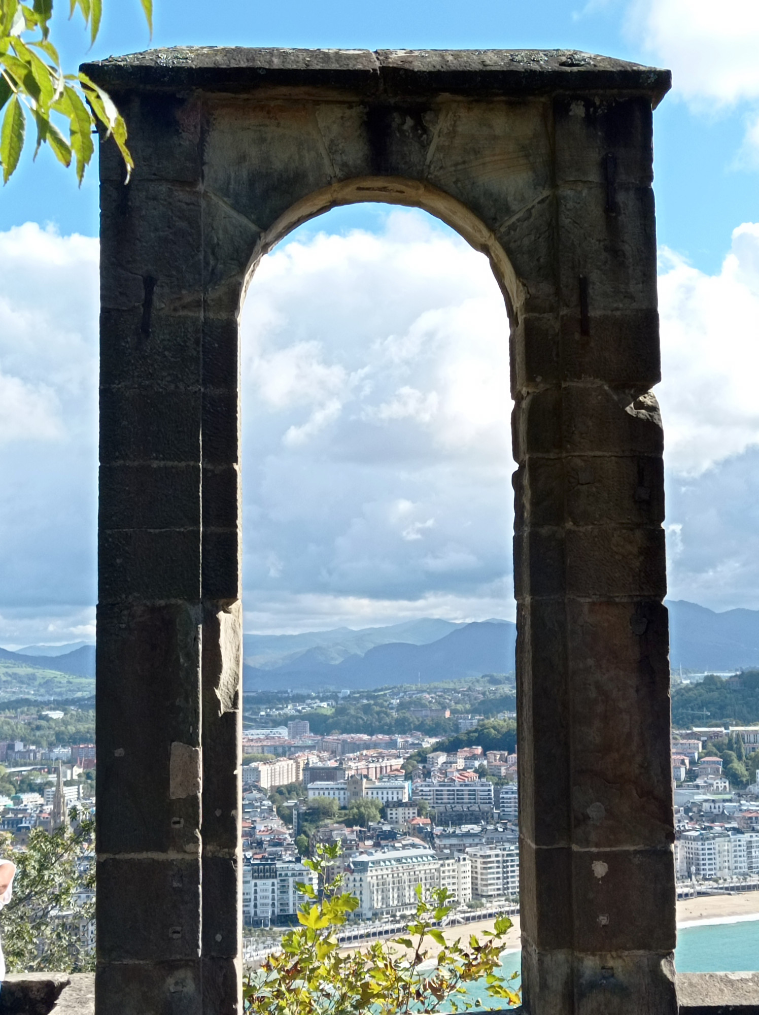
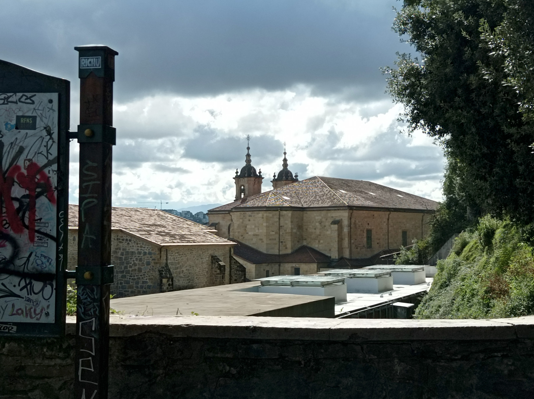
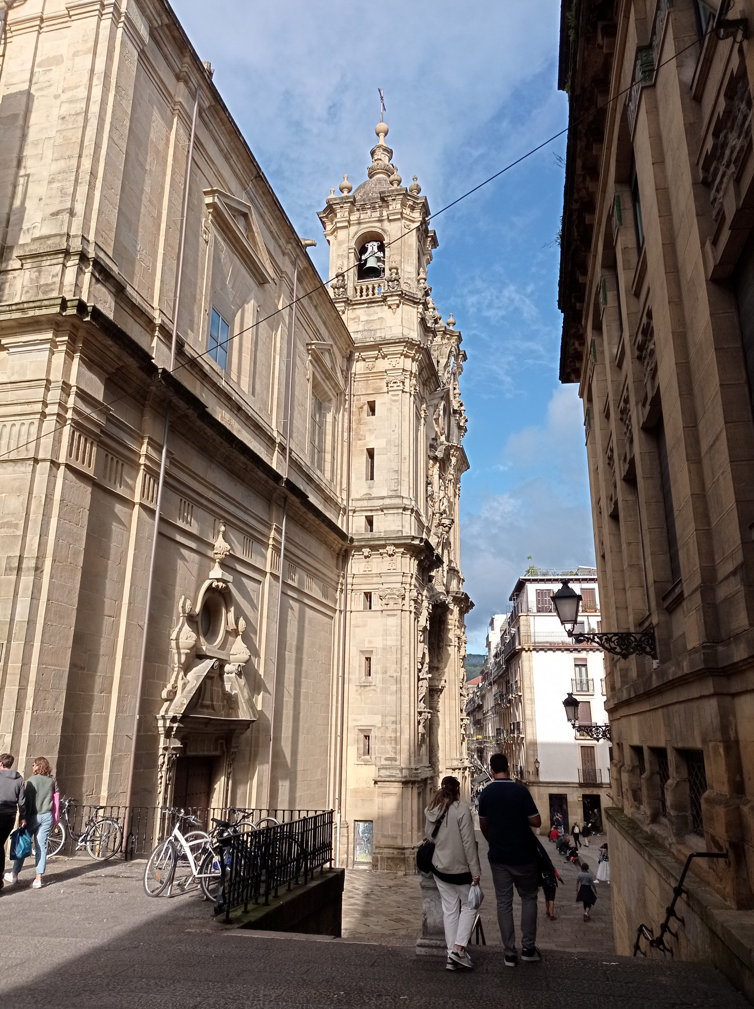
I arrived at Santiago in the late afternoon and journeyed on early next morning. So I only had one night to see the old town. By the time I got there night had fallen. The dark blue sky and the yellow lights reflecting off stone walls gave the place Mêlée-Island vibe. Though most buildings are certainly more recent, all looks kinda medieval. And yes, Santiago is soaked in christian architecture and symbolism. It’s not just the great cathedral, there’s churches everywhere. And a penis shaped pillar for some reason, must be a religious thing.
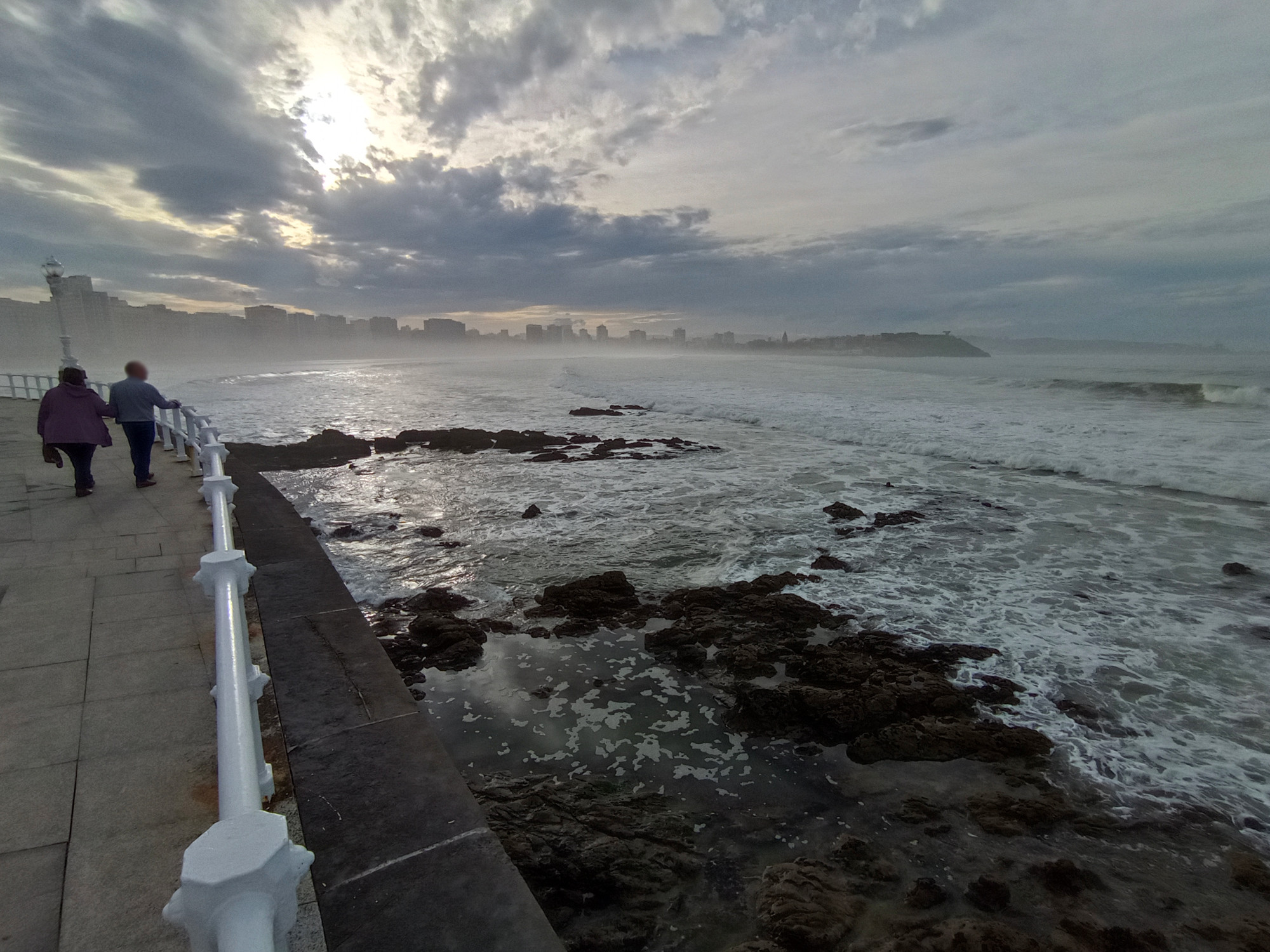
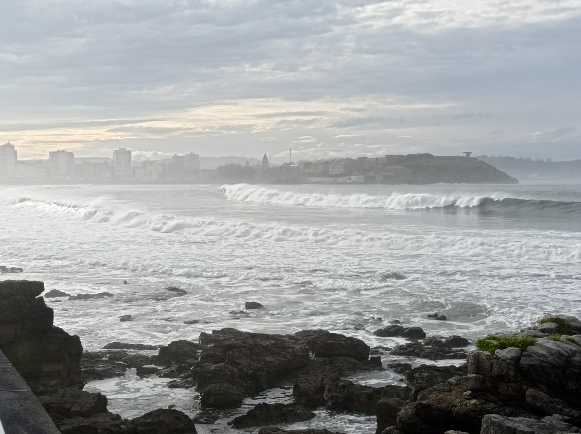
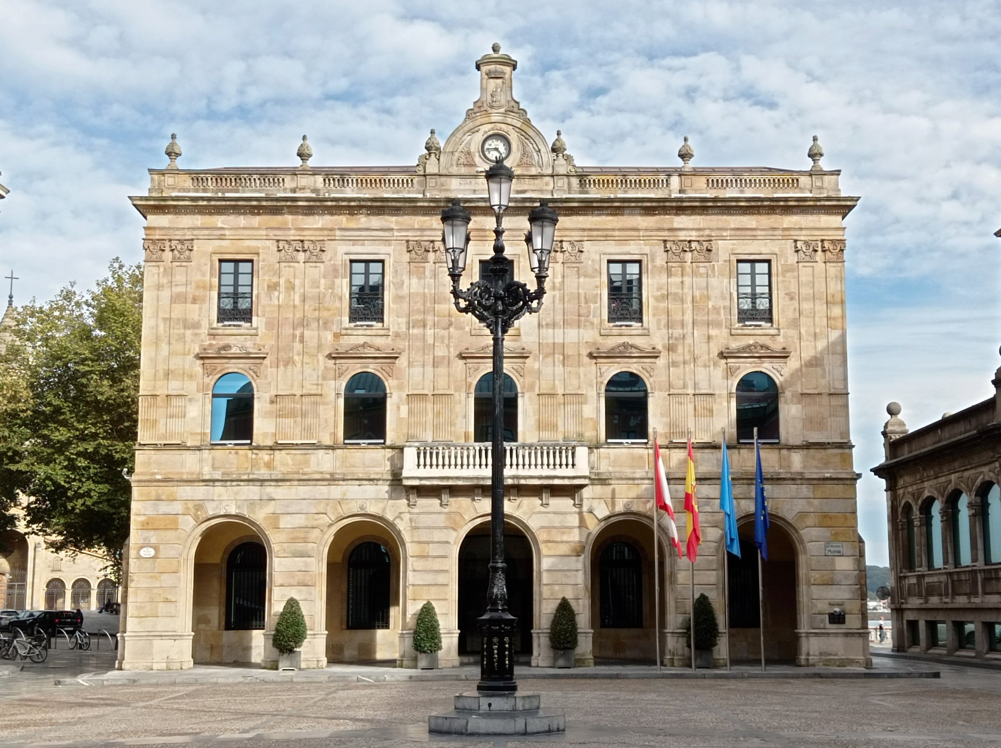
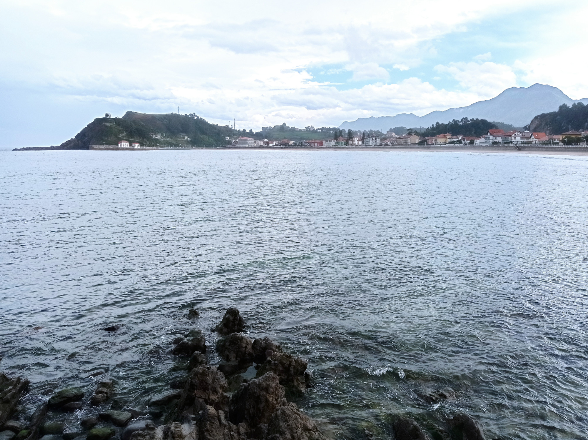
Gijón (Xixón)
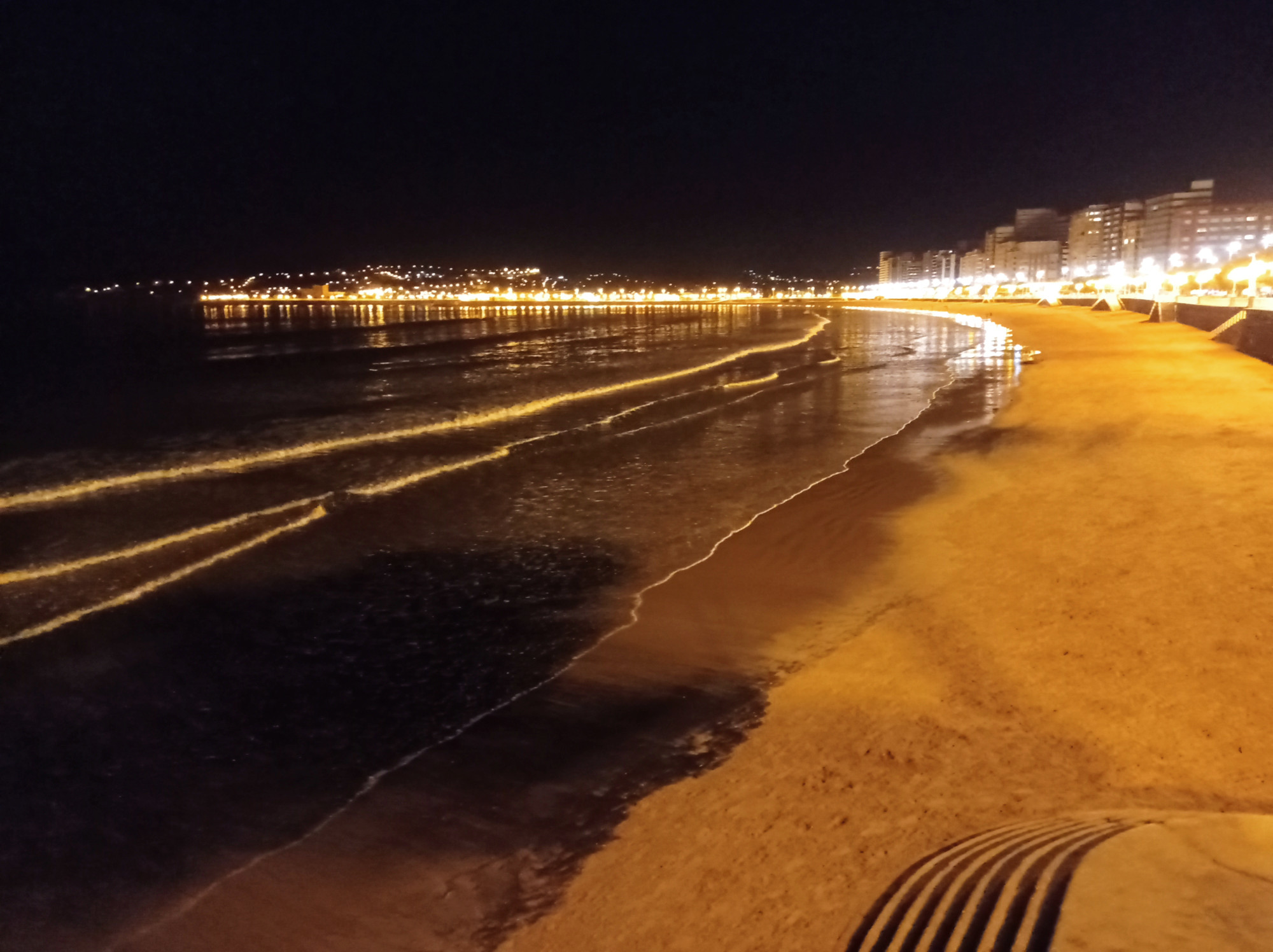
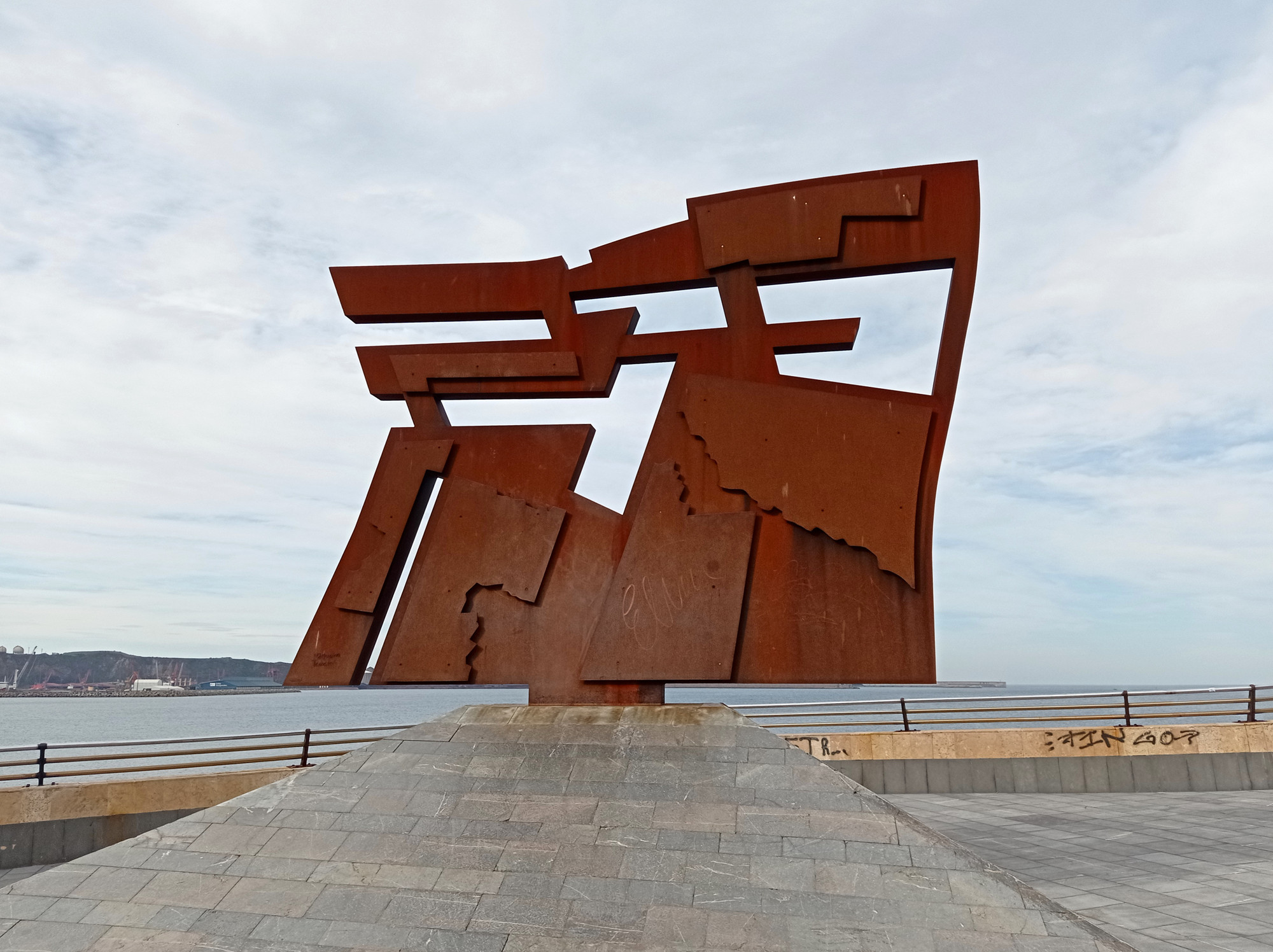
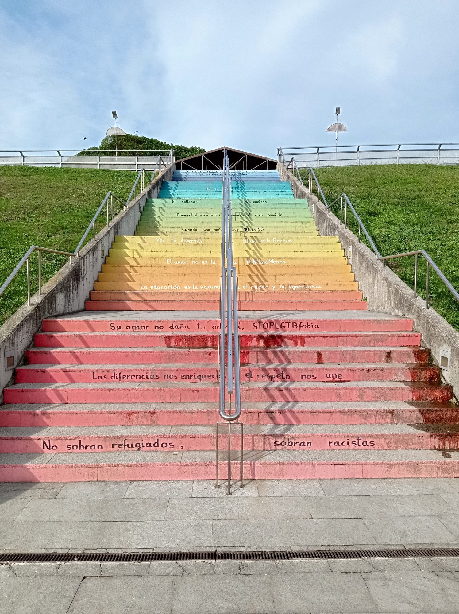
After having left the Basque Country more than 2 weeks earlier, I was back to the Bay of Biscay. My first stop was the Asturian port of Gijón. Though bigger, the geography kinda reminded me of Donostia: there’s a peninsula with big hill in the middle. The old town is located right underneath, on the land-facing side. From here, big bays stretch along the coastline in both directions. The city itself rises right behind their beaches.
So there’s clearly an urban vibe in the surf line-up. But the scenery looks quite pleasant, especially when big swells are pushing in. Like elsewhere in Spain, there’s a lot of (monumental) artworks sprinkled in and around the city. A good mix of nature, history, and modernism.
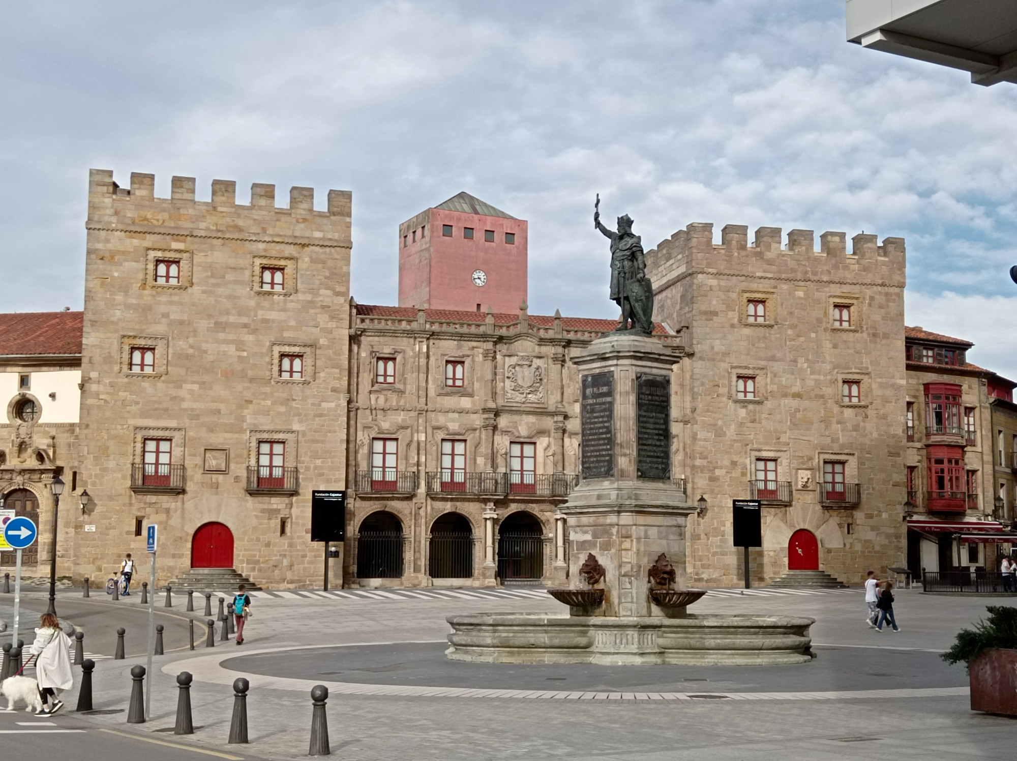
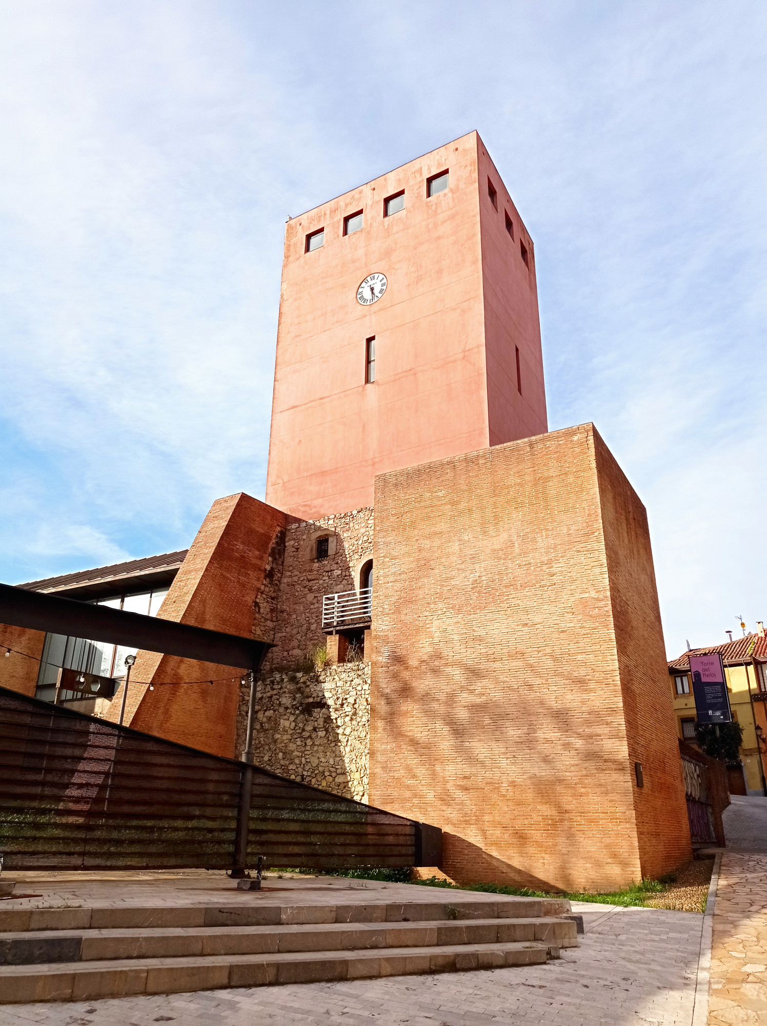
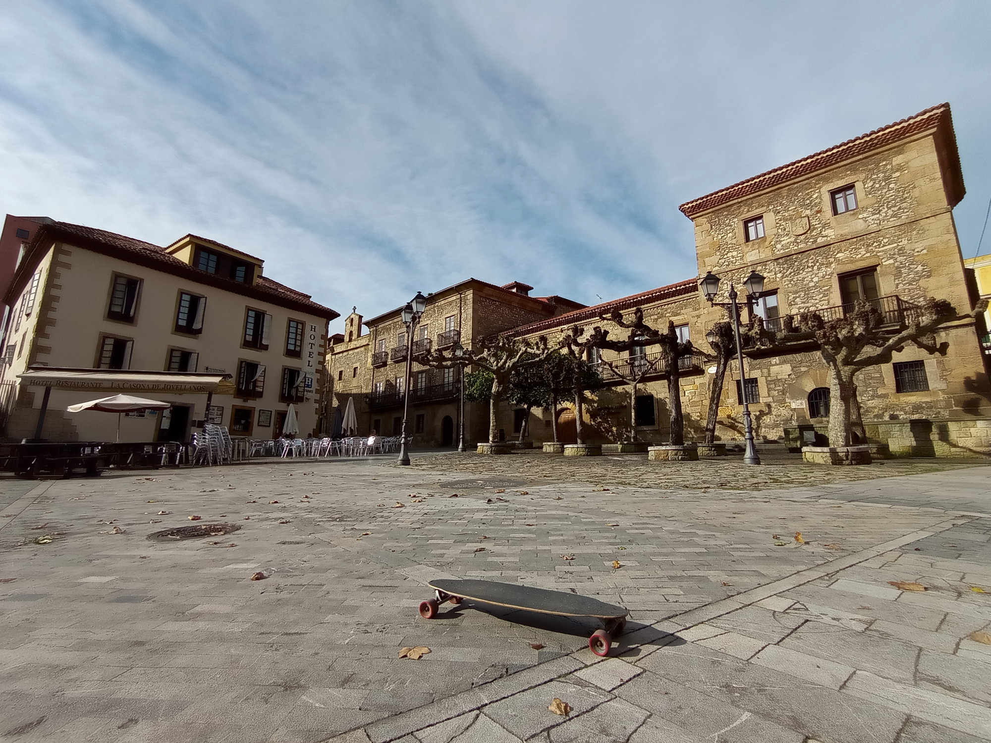
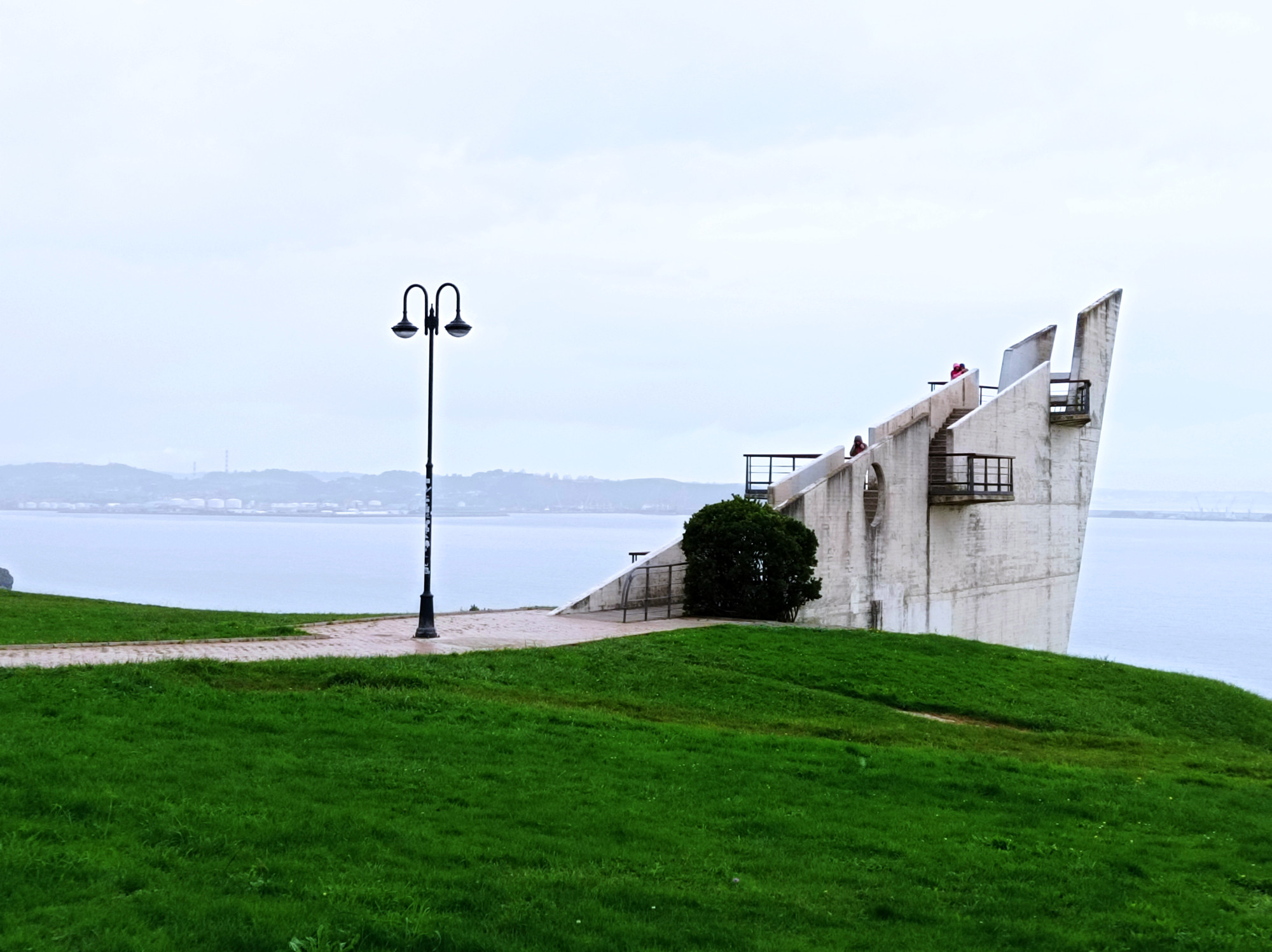
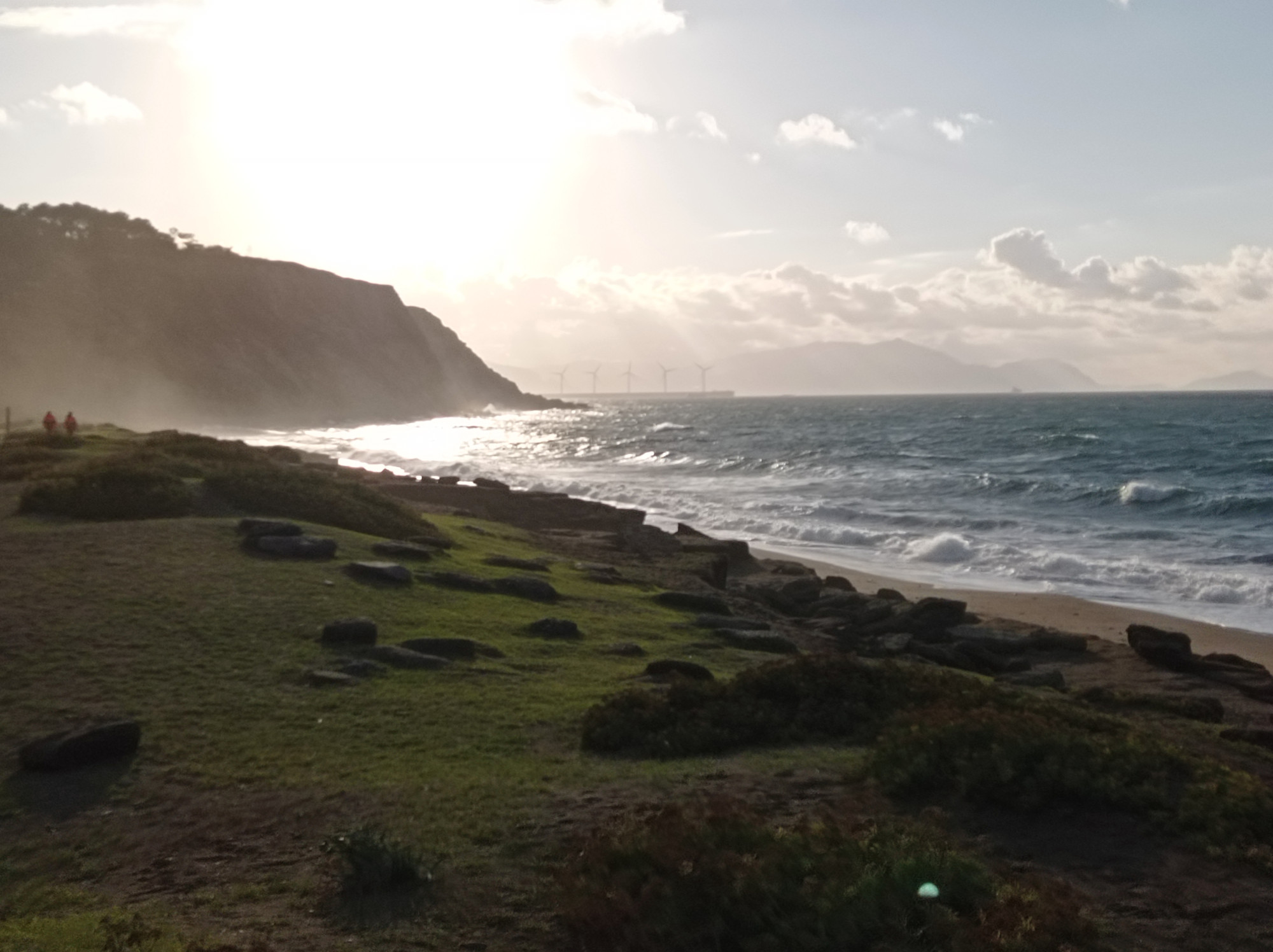
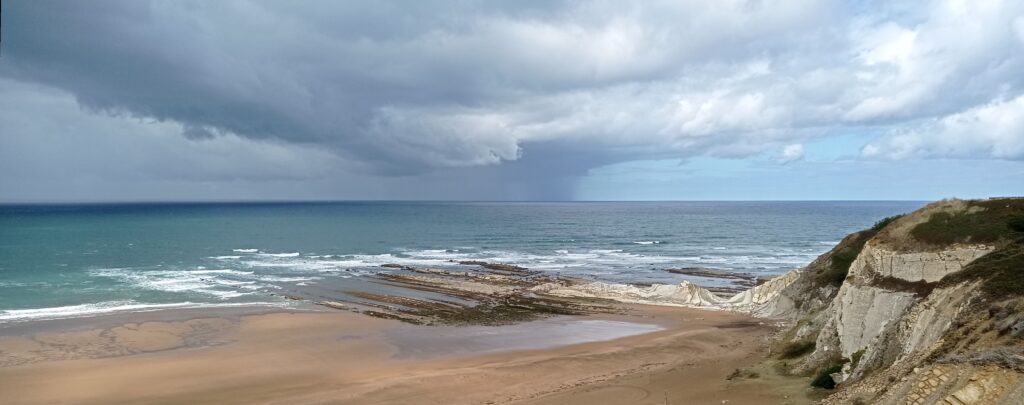
Ribadesella (Ribeseya)
After Gijón, I headed further east along the cost. Took a lunch-break in the small coastal town of Ribadesella. They’ve got a nice beach there and I hear they get good surf. But for the next few days the Cantabrian Sea would remain flat. So I turned inland from here and headed into the mountains.
After Madrid, I headed for the coast of northern Portugal. Less sight-seeing and photographing, more surfing and partying. Didn’t even make it nearby Porto. Well, I’ll get to see it some other time…
Esposende/Ofir
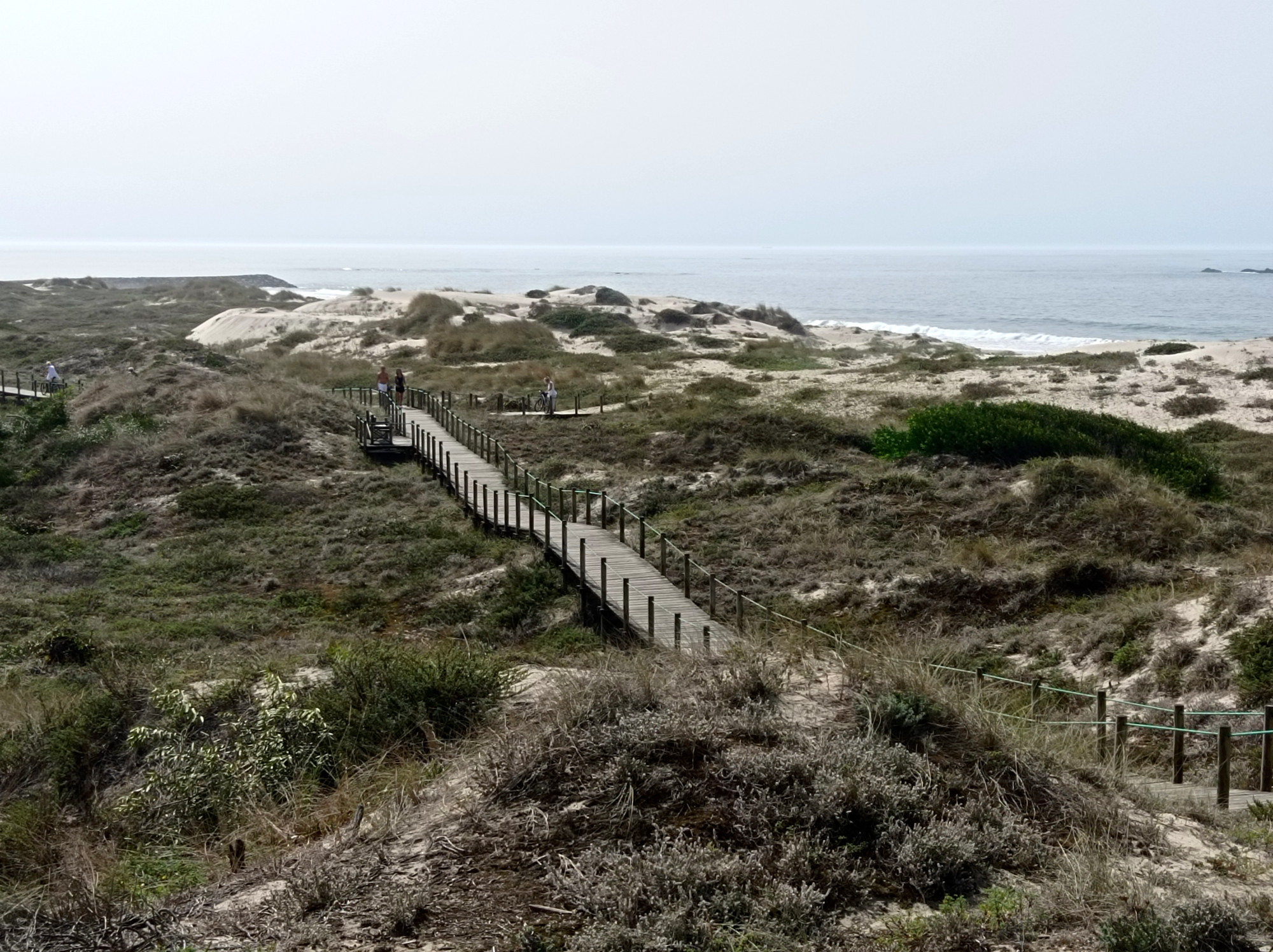
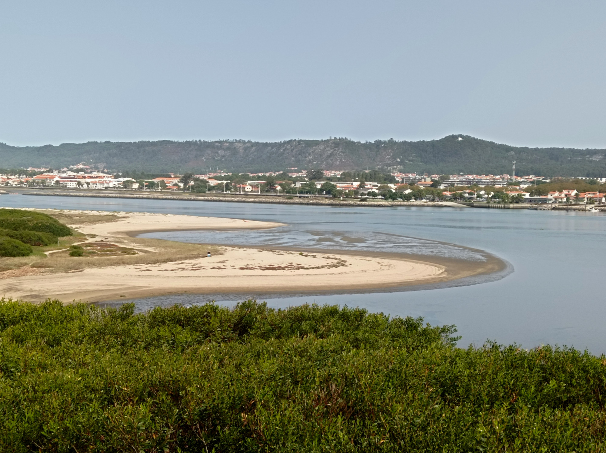
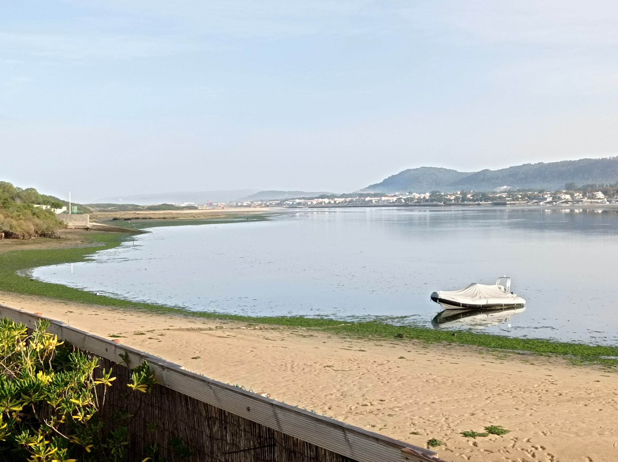
First stop was the Ofir peninsula near the town of Esposende (the proper Portuguese pronunciation of which I will never learn). My accommodation was basically in the dunes right behind the beach. There’s also an estuary/lagoon right by the house. A good kite spot in theory, but as ever so often there was barely any wind during my visit. So I focused on wave surfing.
Viana do Castello
Just am small coastal town, half-way between Esposende and Moledo. I came through it twice, because I had to change between train and bus here. Looked lovely, but I couldn’t spend much time.
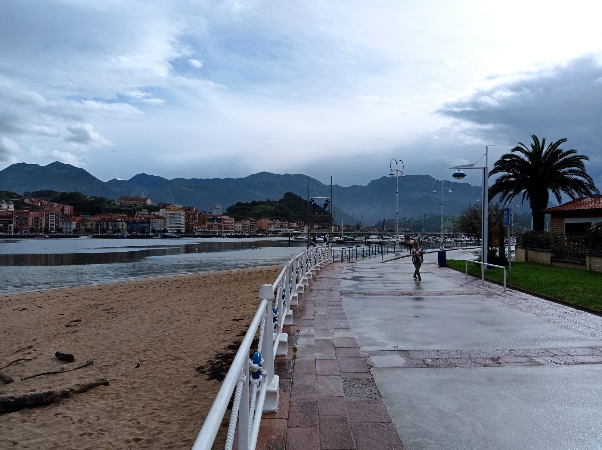
Moledo & Âncora
Next destination was Moledo do Minho, a coastal village, whose scenic beach stretches all the way to the river that forms the border to Spain. The beach of nearby Vila Praia de Âncora wasn’t bad either. And we had decent surf conditions at both.
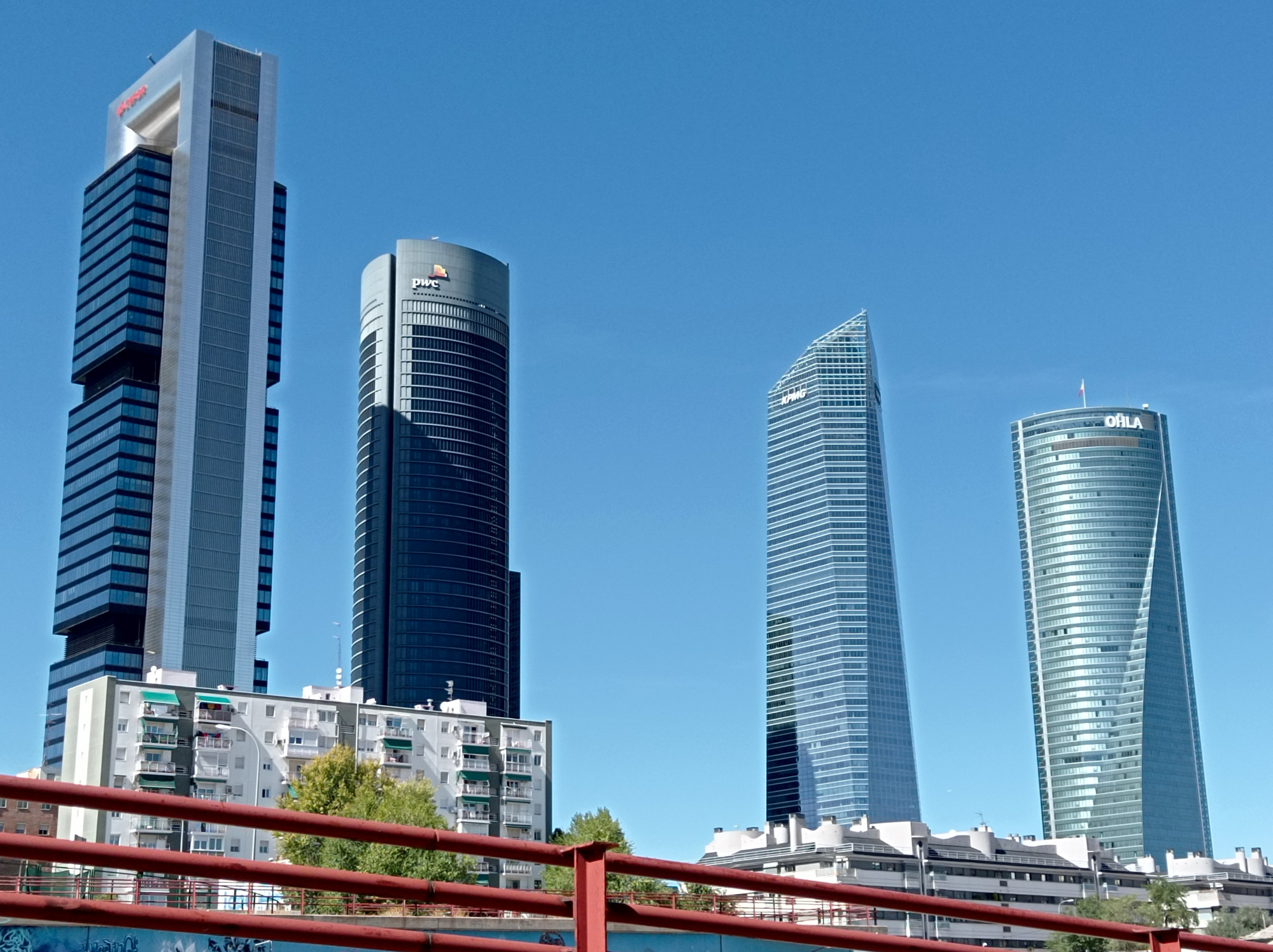
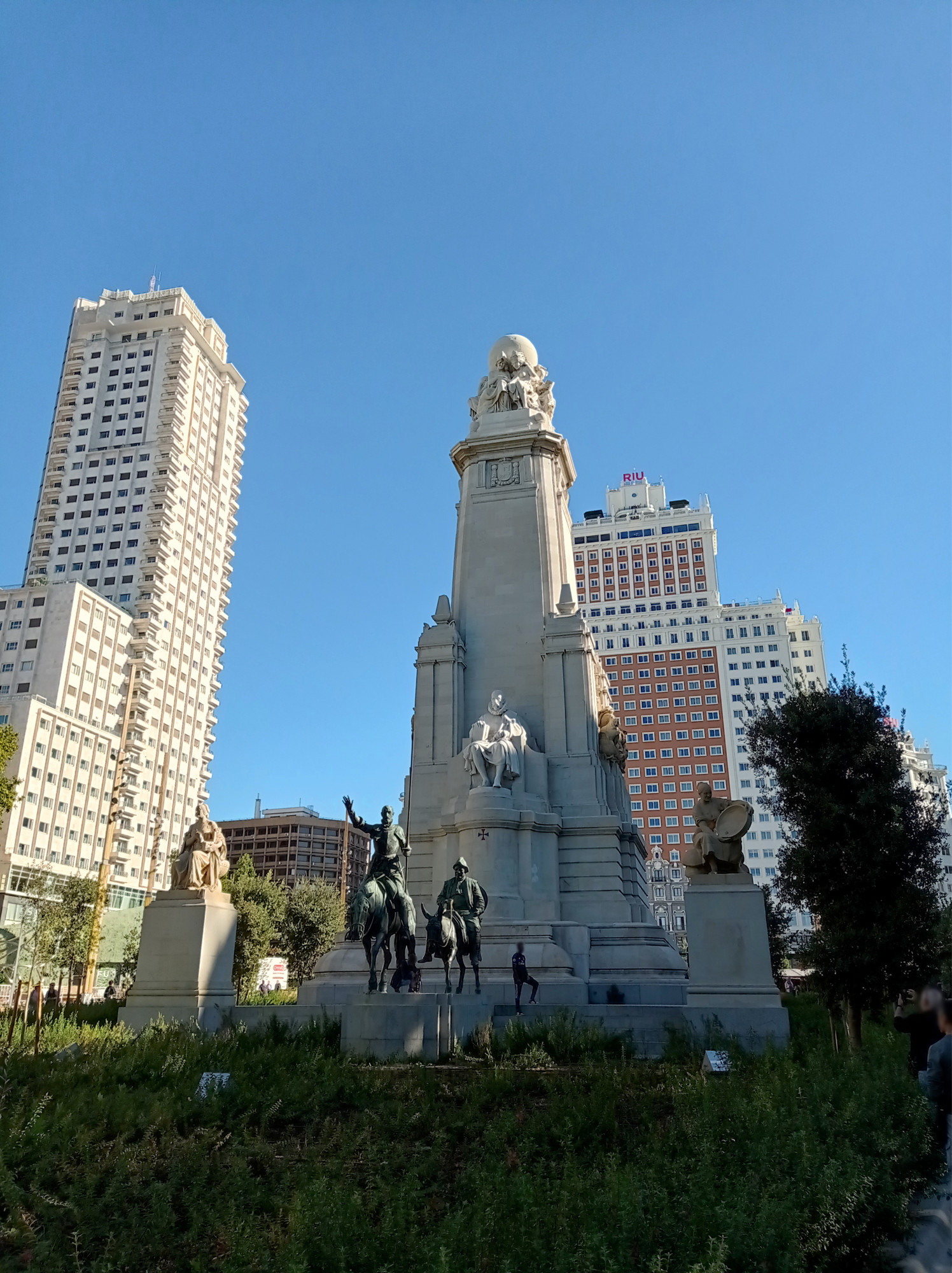
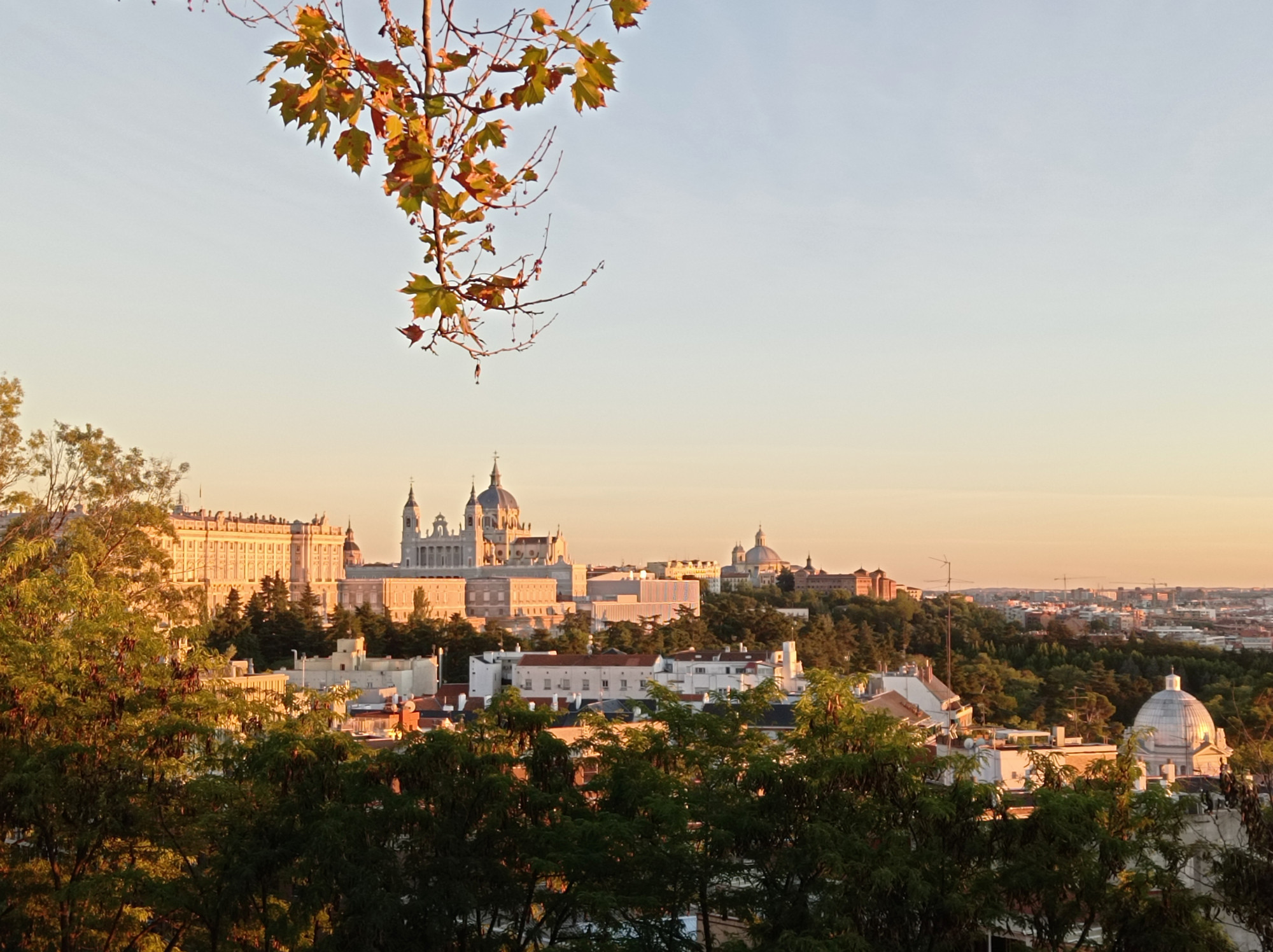
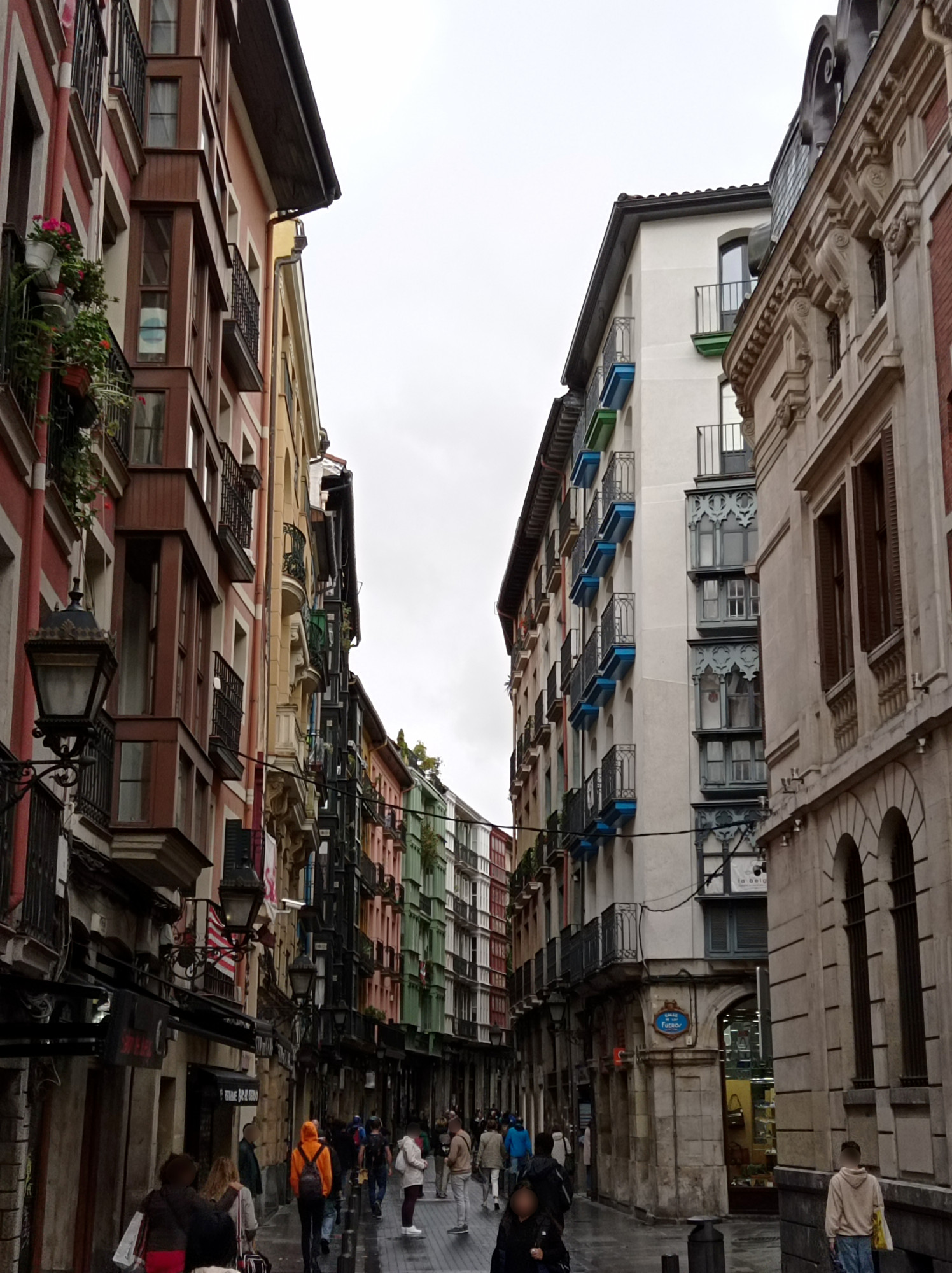
I hadn’t been to Madrid before and the city has always been a mystery to me. How could one of the most notorious maritime empires have been governed from a landlocked place like this? The geographic location seemed unappealing — no harbor, no impressive mount-range serving as backdrop, not even a noteworthy river flowing through.
But it looks like in Spain all roads lead to Madrid, rather than Rome. So for bridging the distance between Basque Country and Portugal, a stopover in Madrid just seemed convenient. Other than this, I didn’t expect much, but this is what I saw…
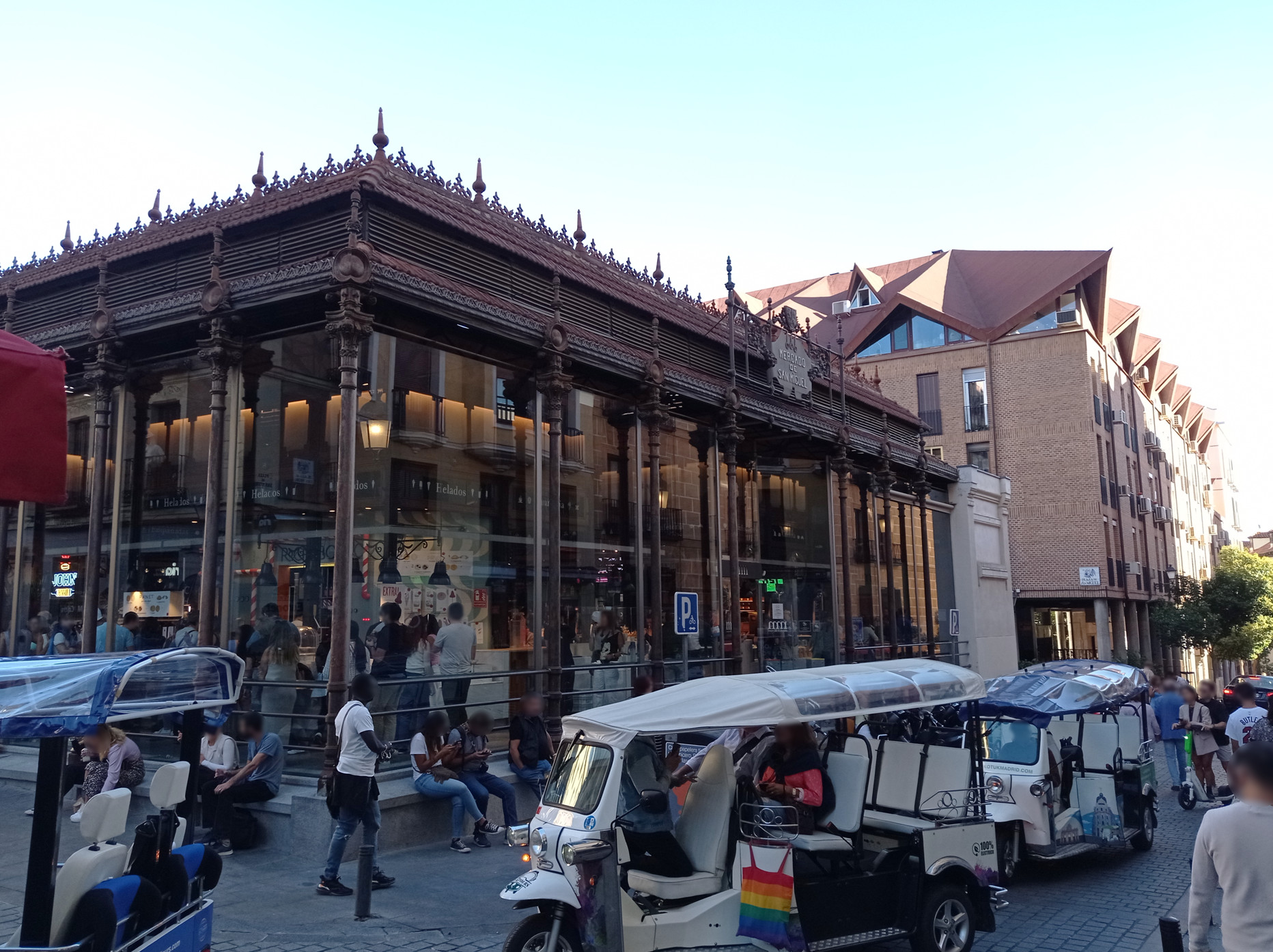
Let’s do some Tourism
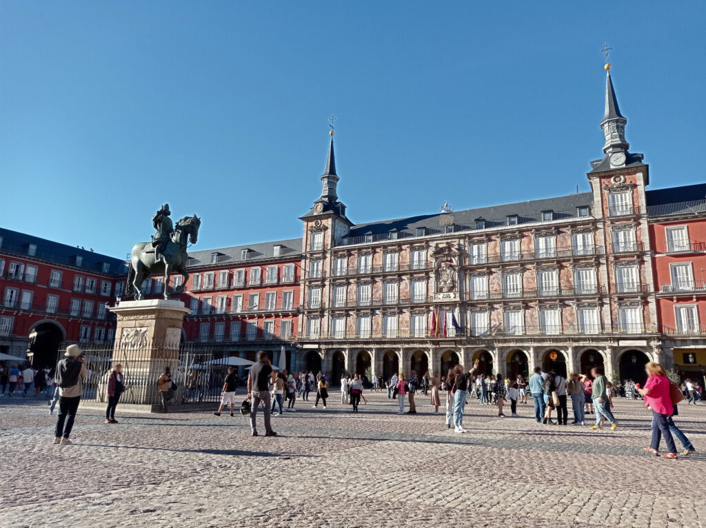
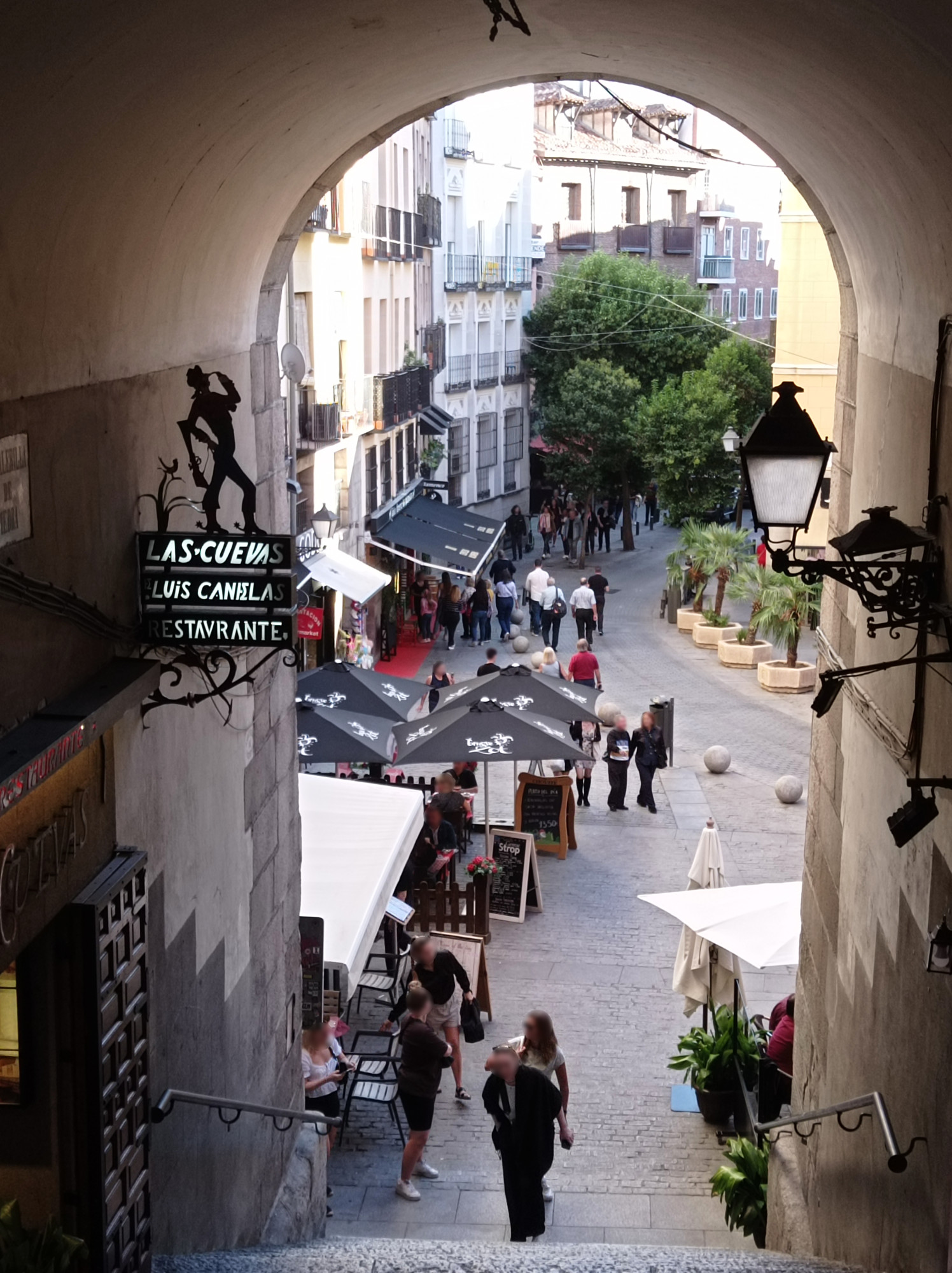
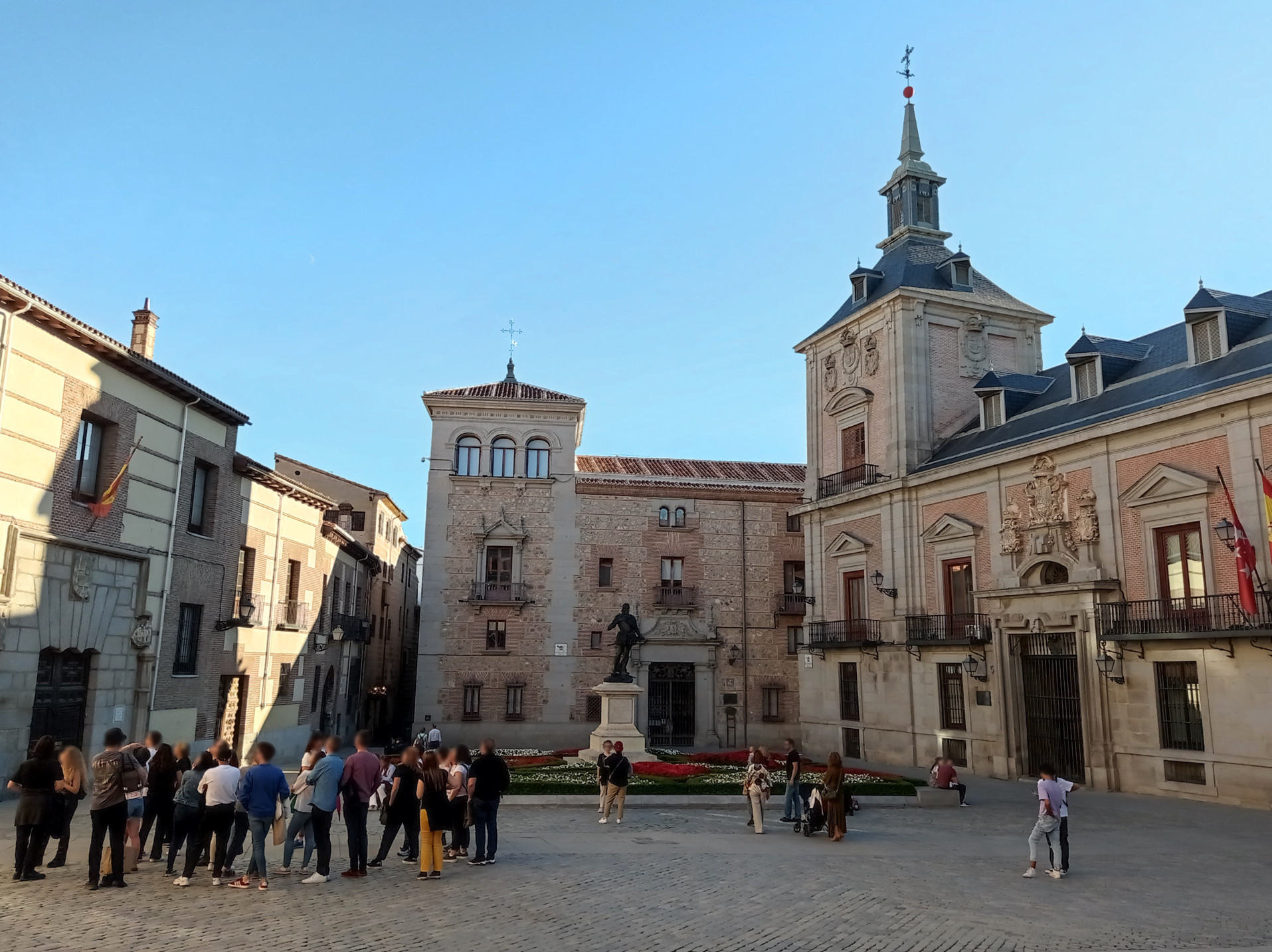
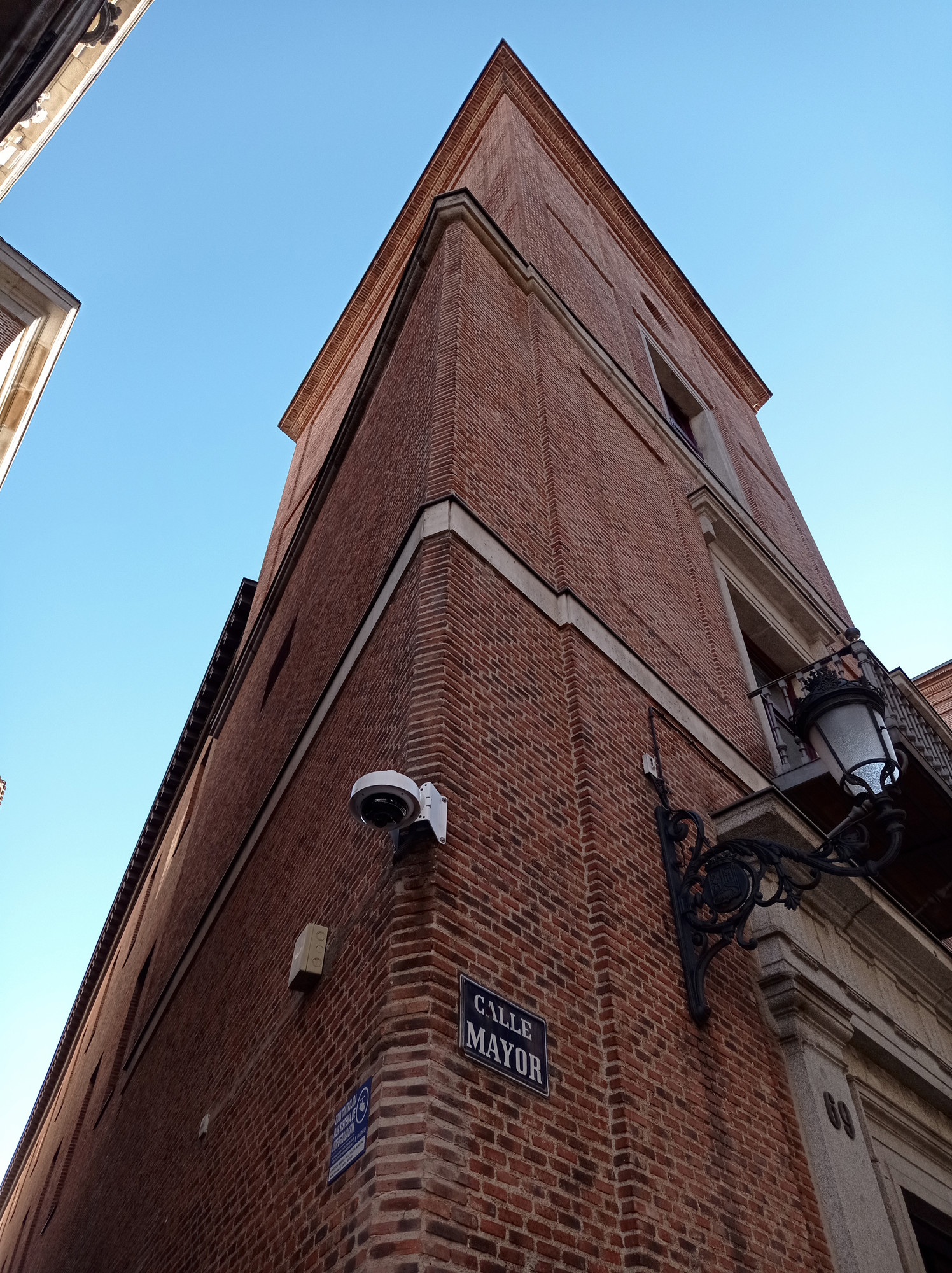
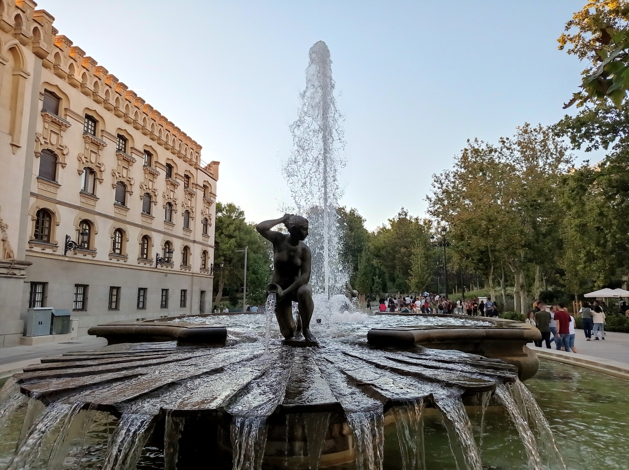
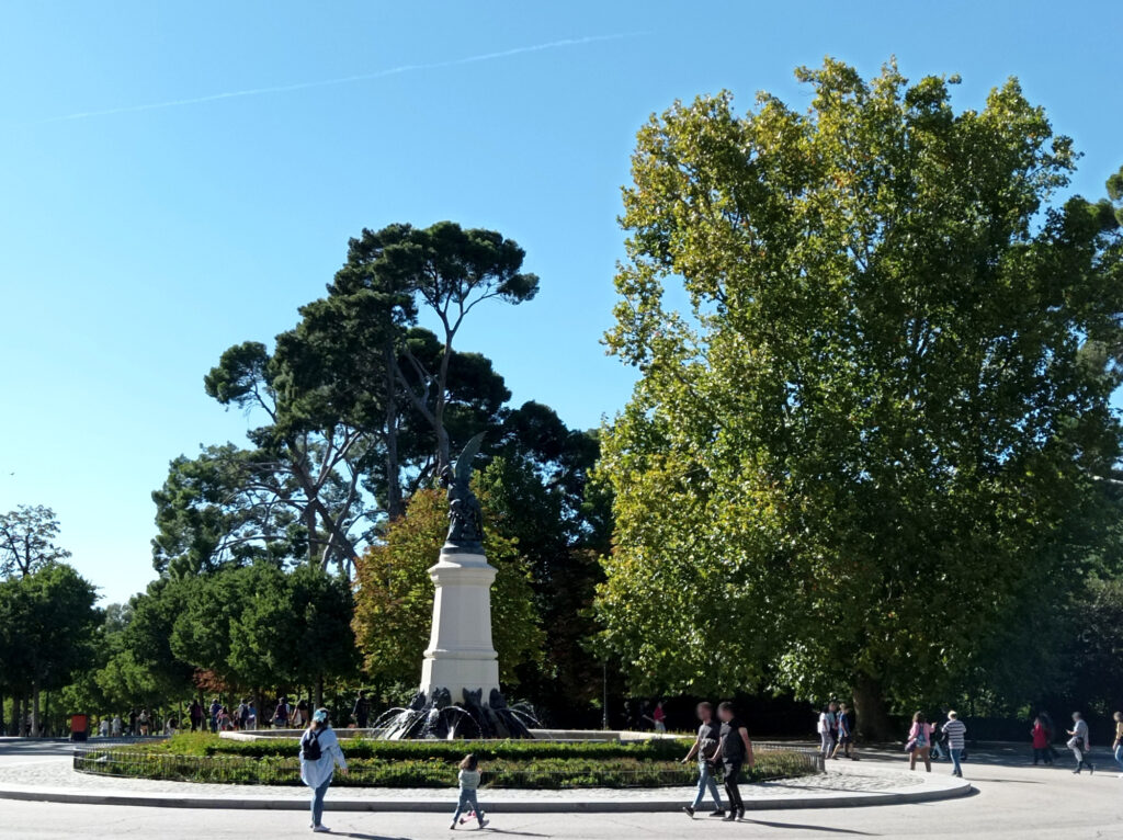
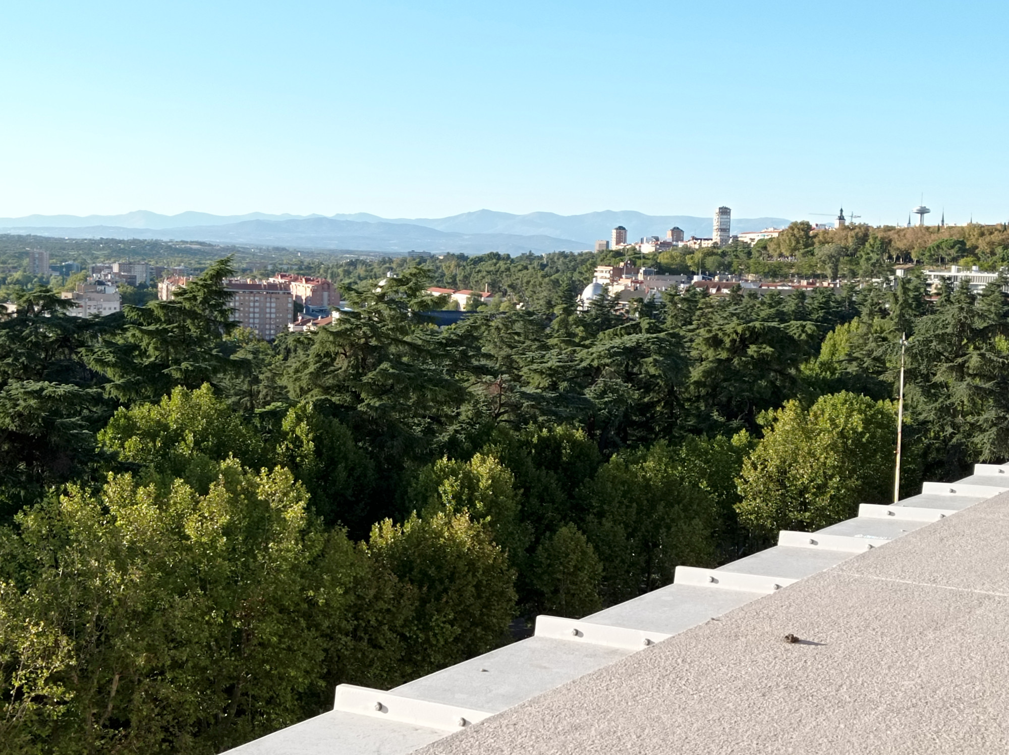
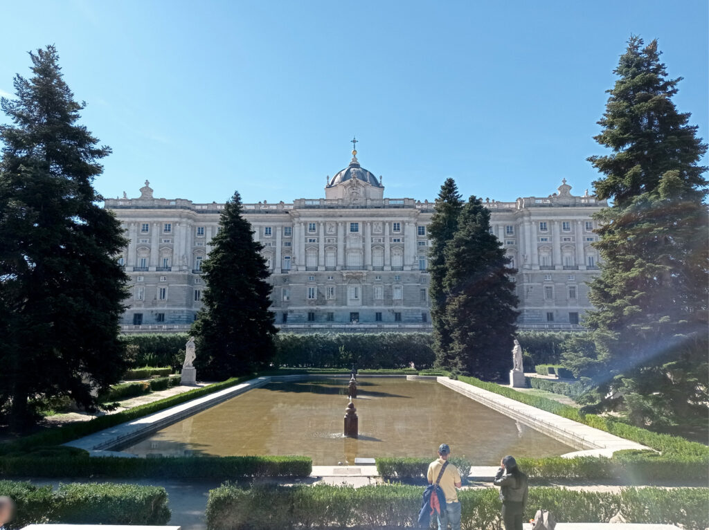
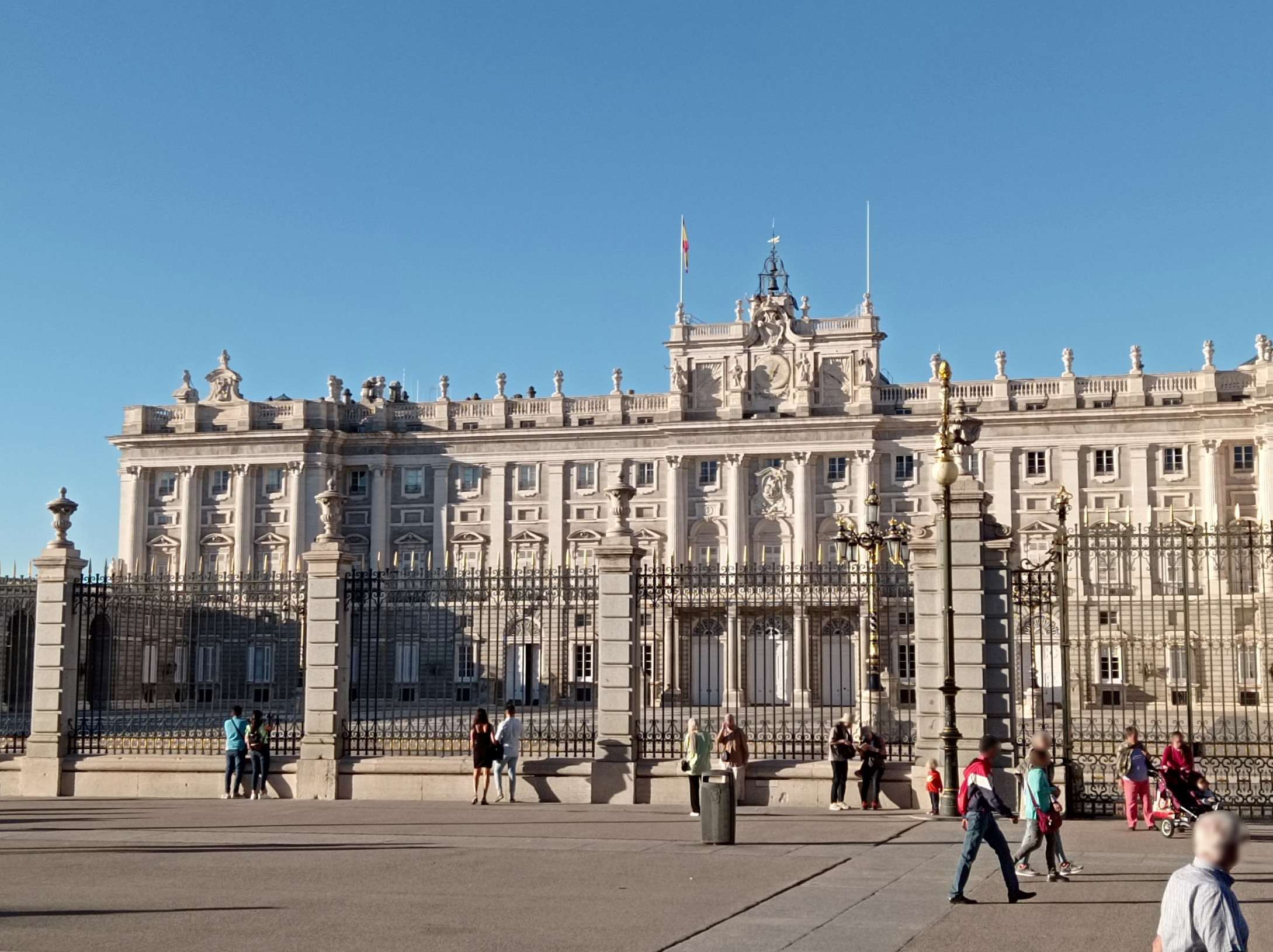
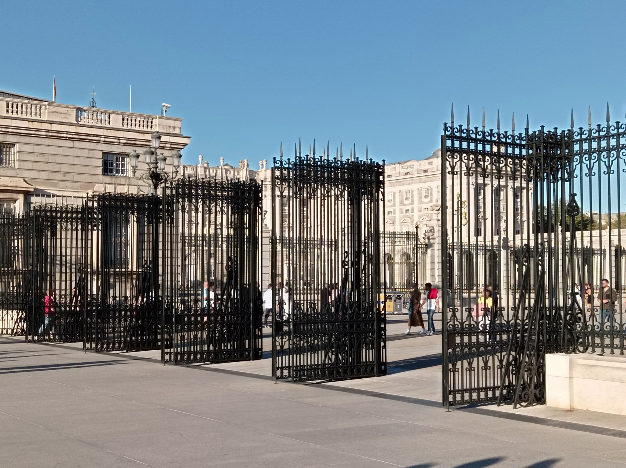
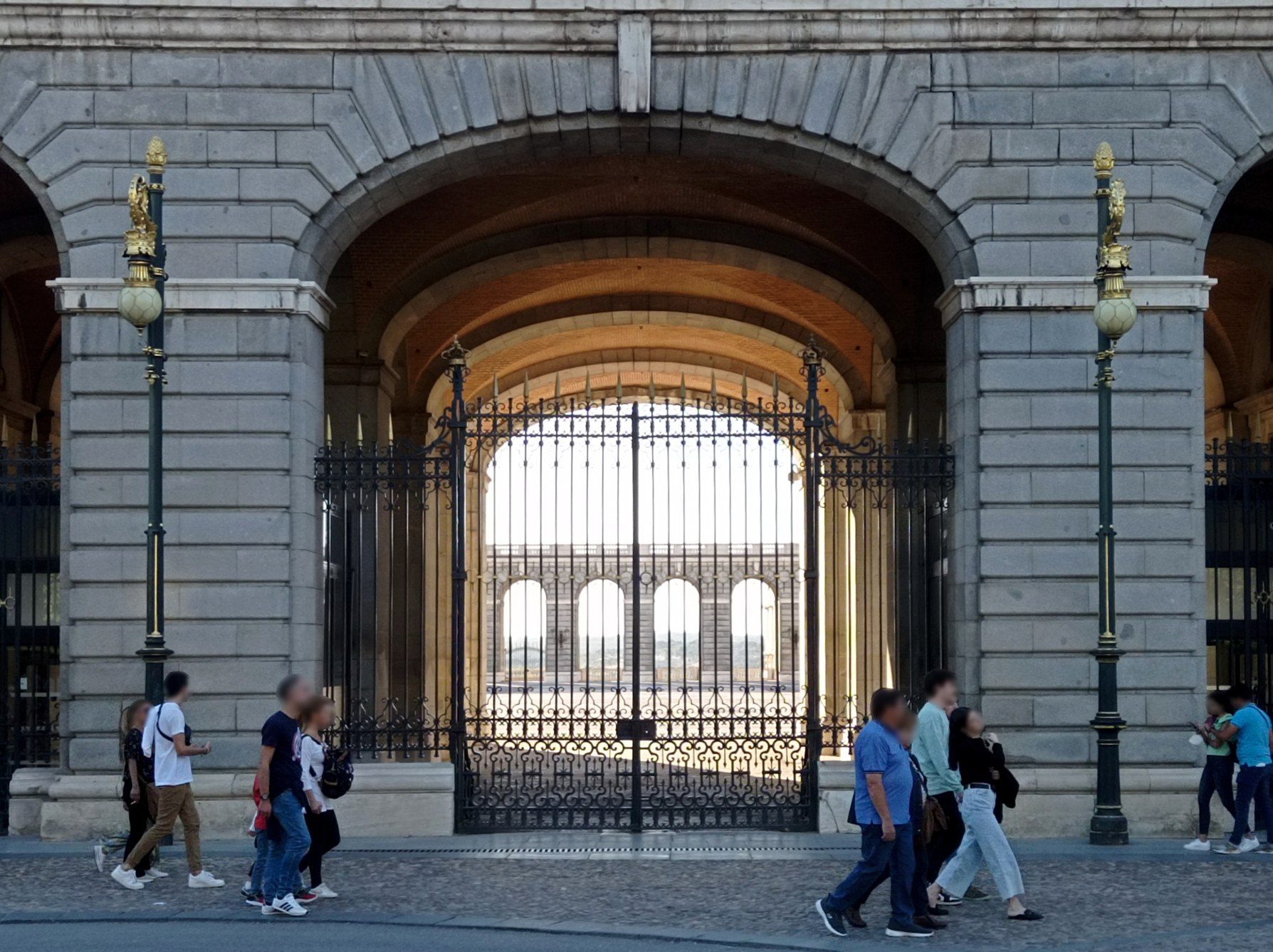
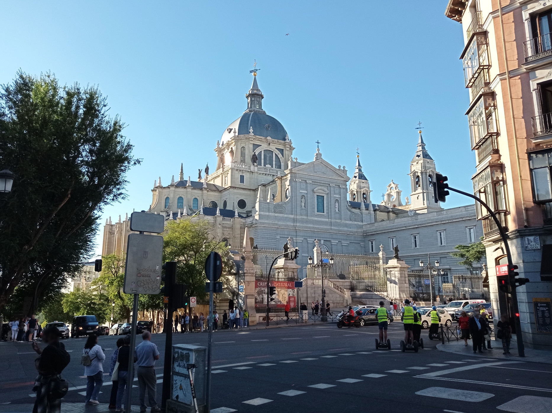
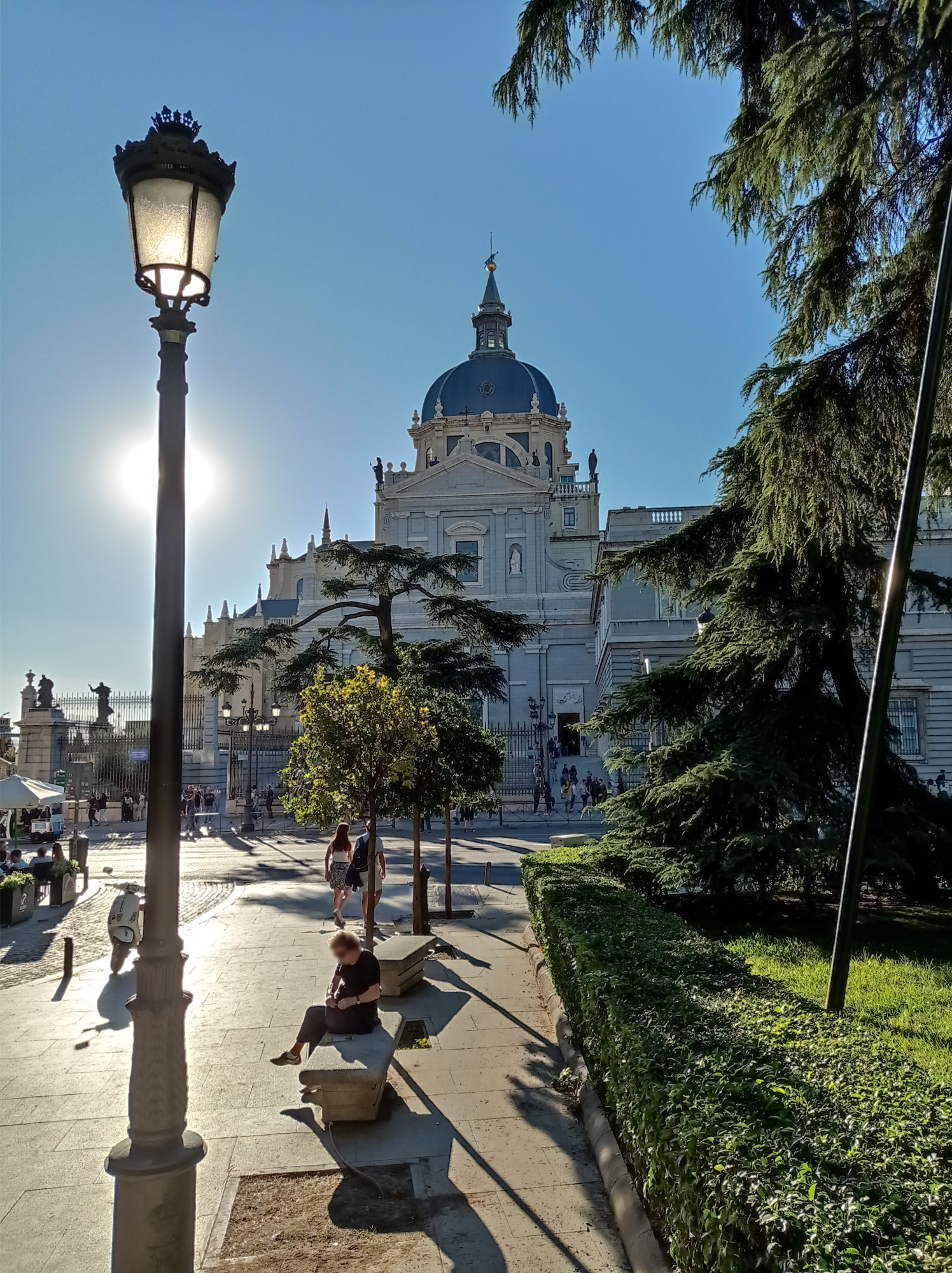
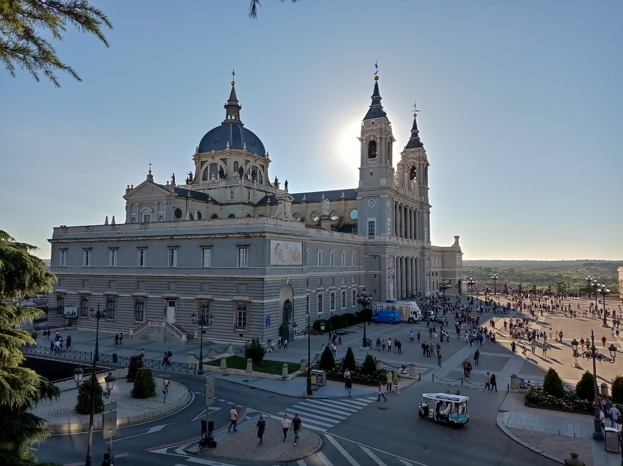
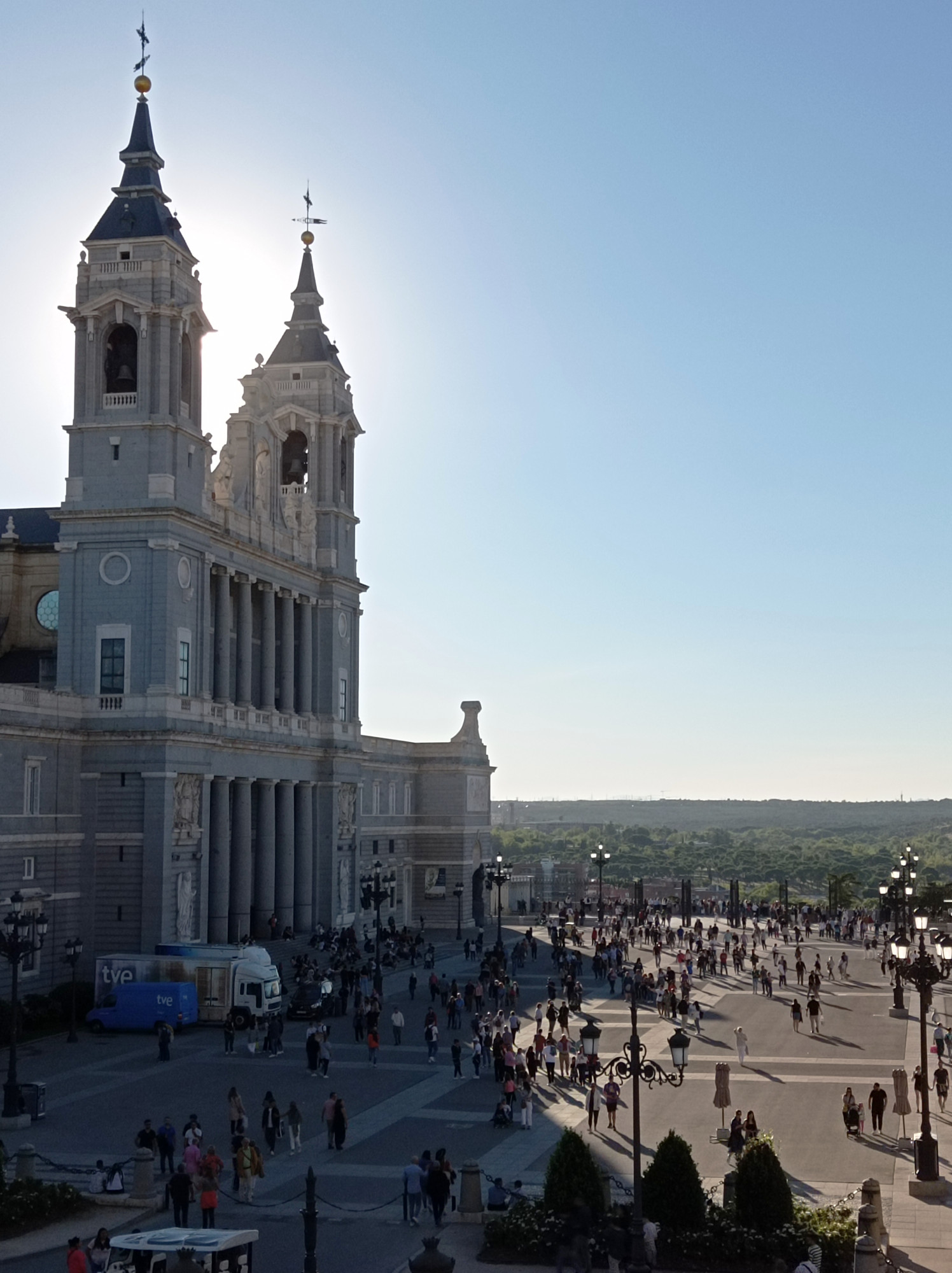
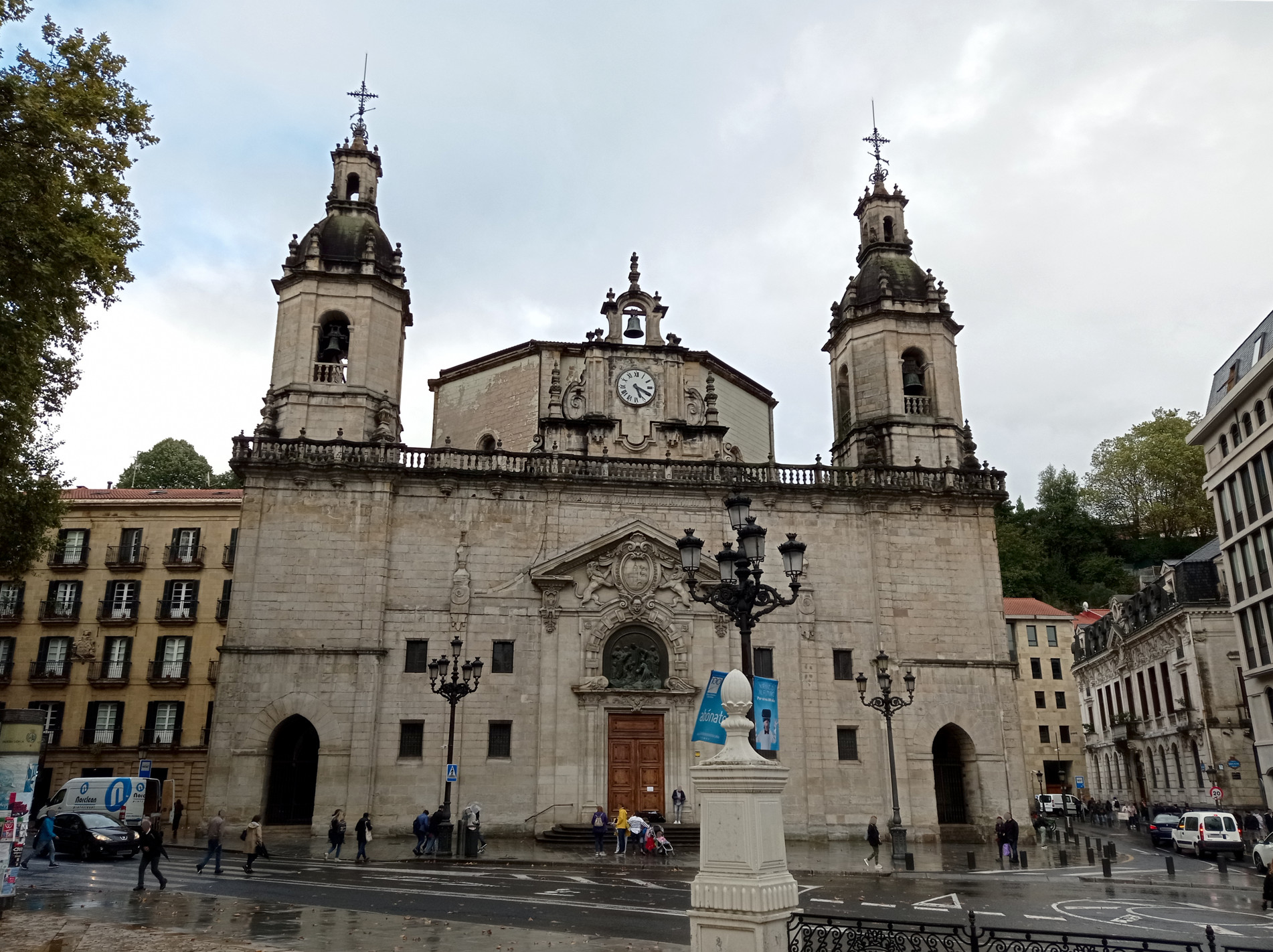
I booked an overpriced hostel, near Plaza de España. It turned out that it wasn’t far from the Royal Palace, the Almudena Cathedral, or Plaza Mayor either. So, expect for a short train ride to the area of El Retiro Park, I explored all of that by foot. I have to say that the city has an impressive vibe. Everything looks big: the streets, the buildings, the monuments, the parks. Not big in the sense of skyscrapers, but in a sense of grandeur that cities at home lack.
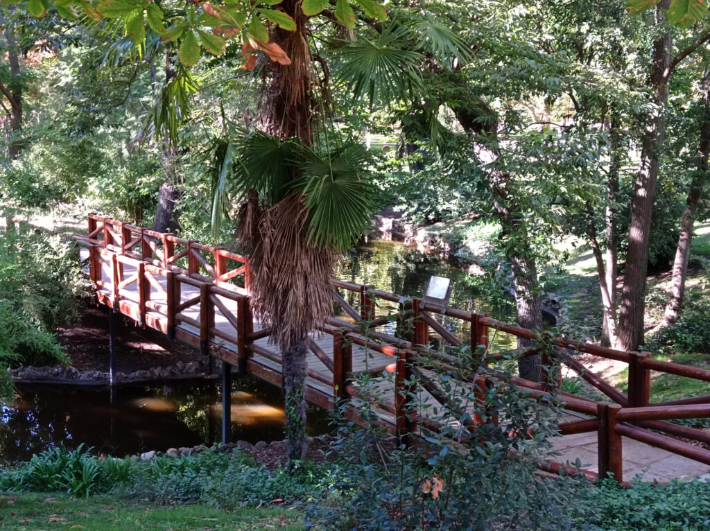
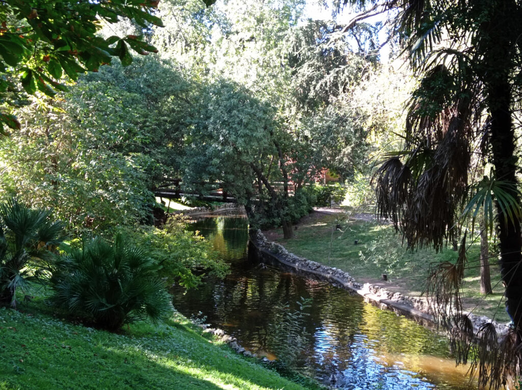
The parks in particular. Parque Casa de Campo starts right by the palace and the cathedral and it seems to stretch to the horizon. It’s probably the biggest park in Madrid, but not the only one by far.
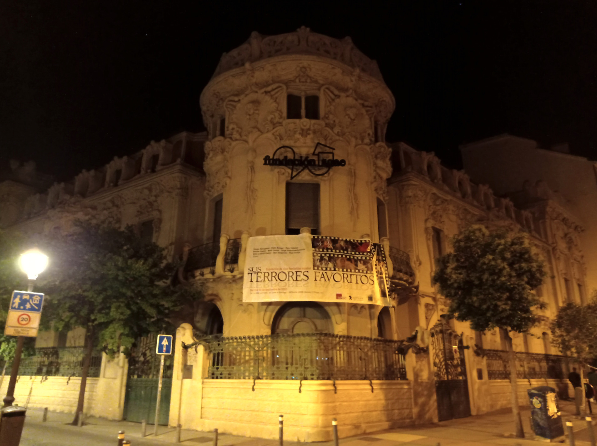
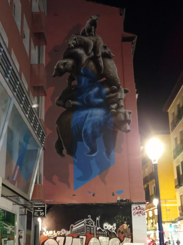
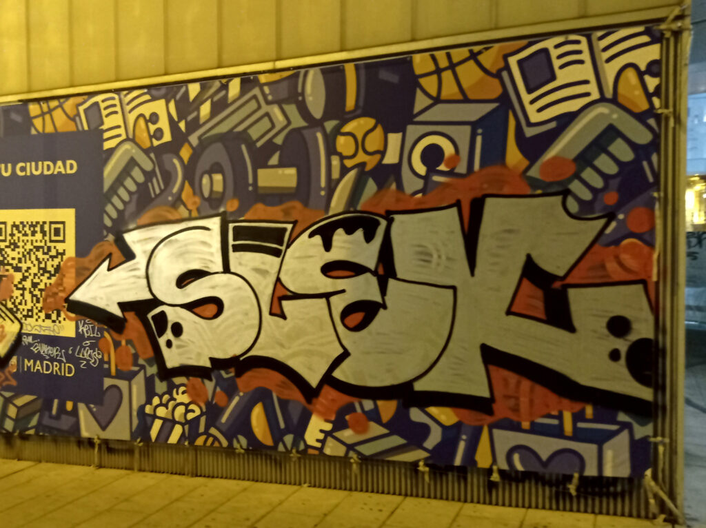
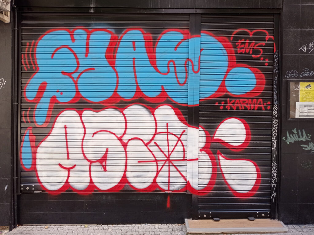
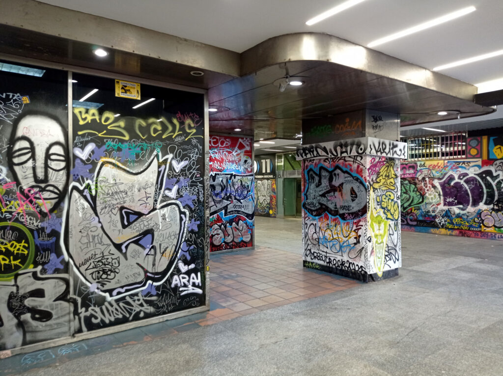
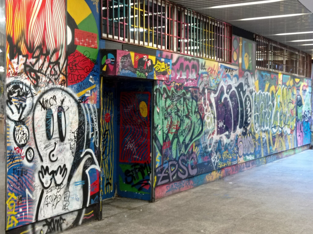
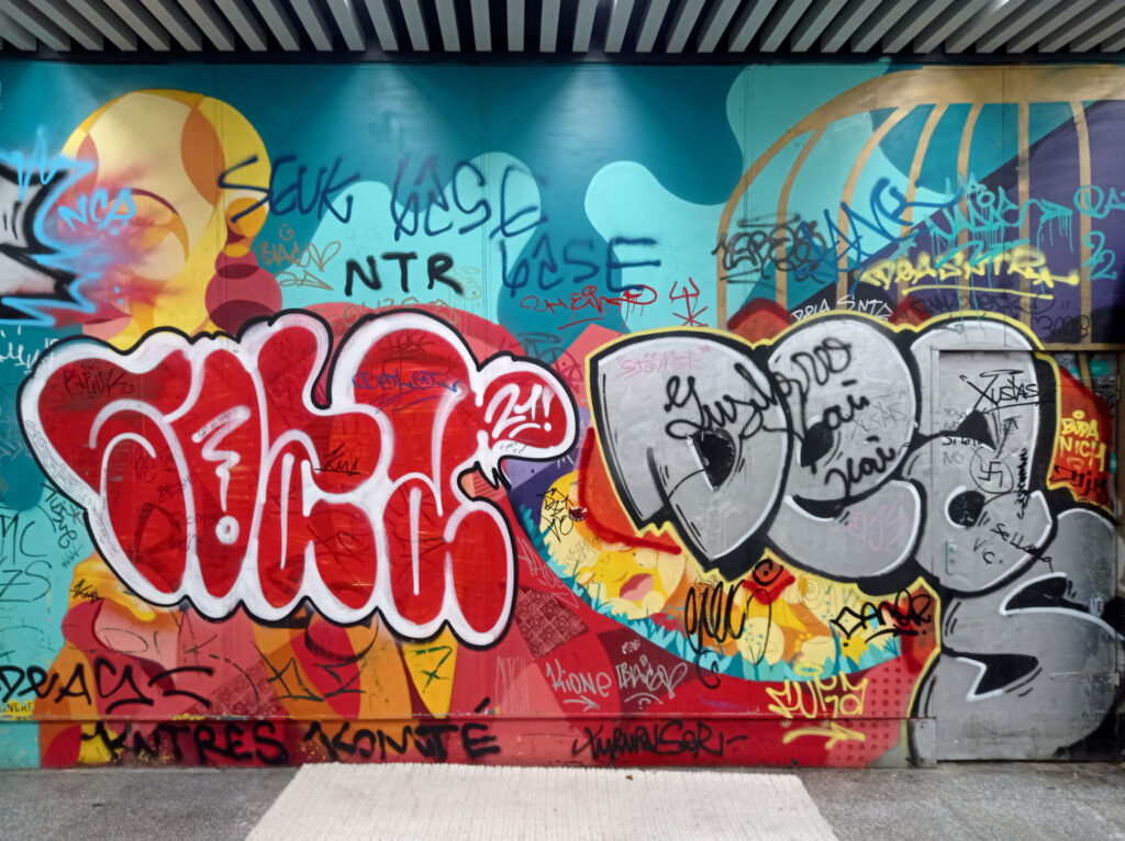
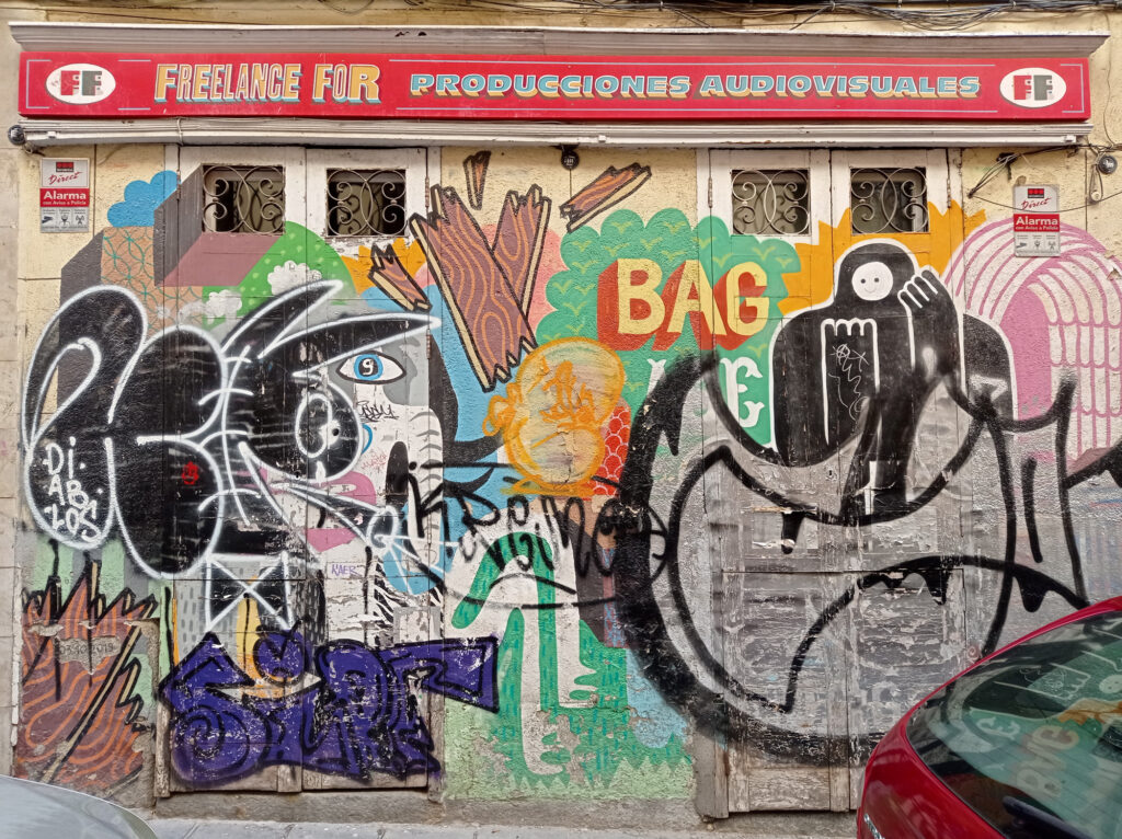
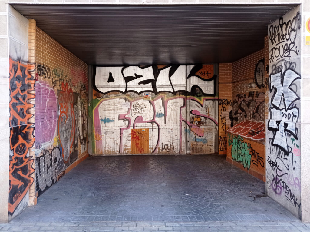
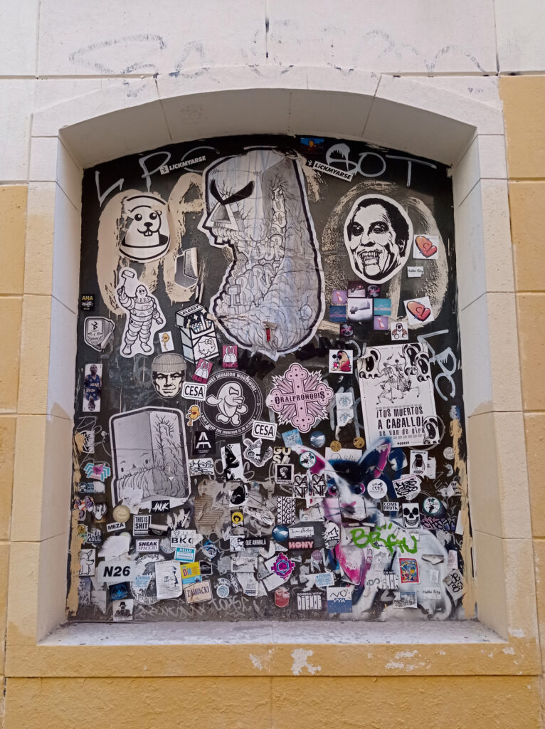
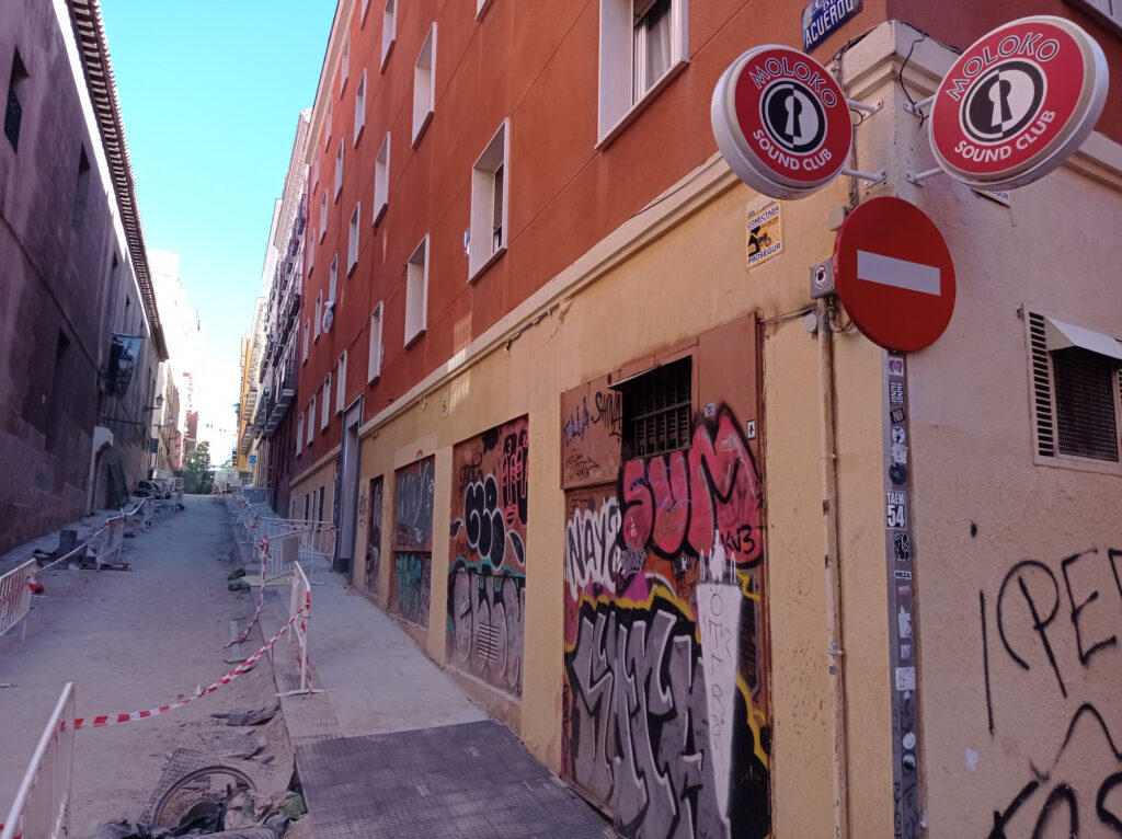
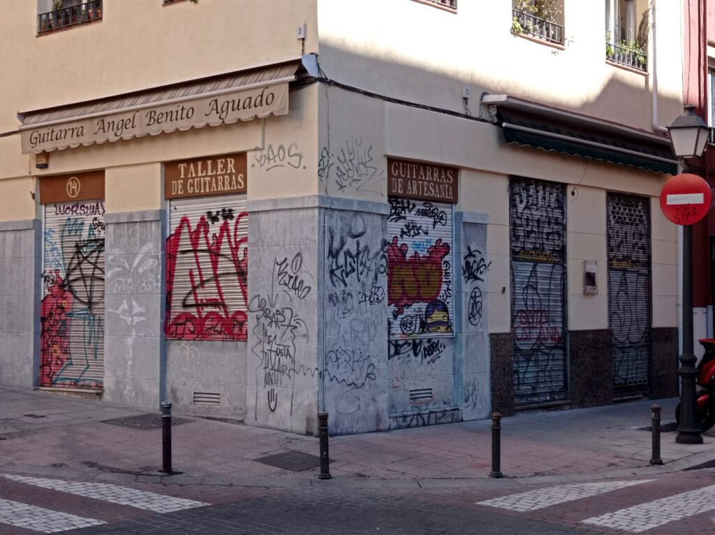
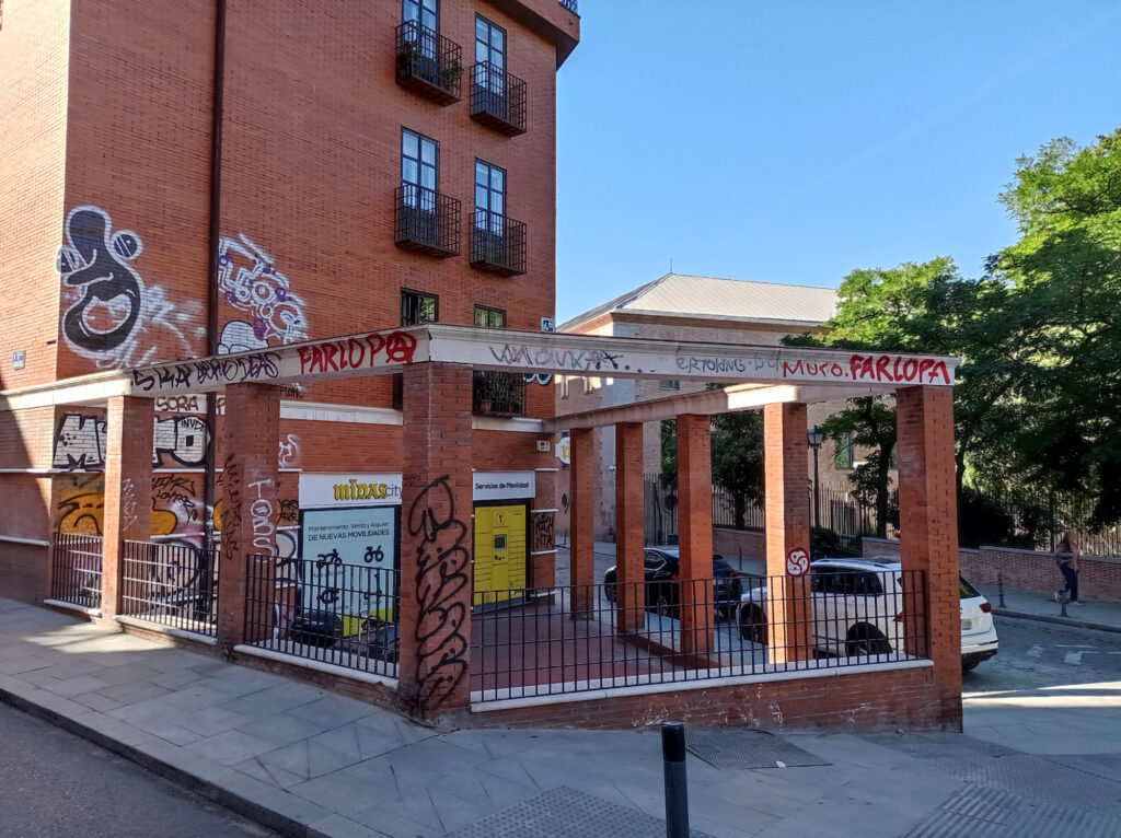
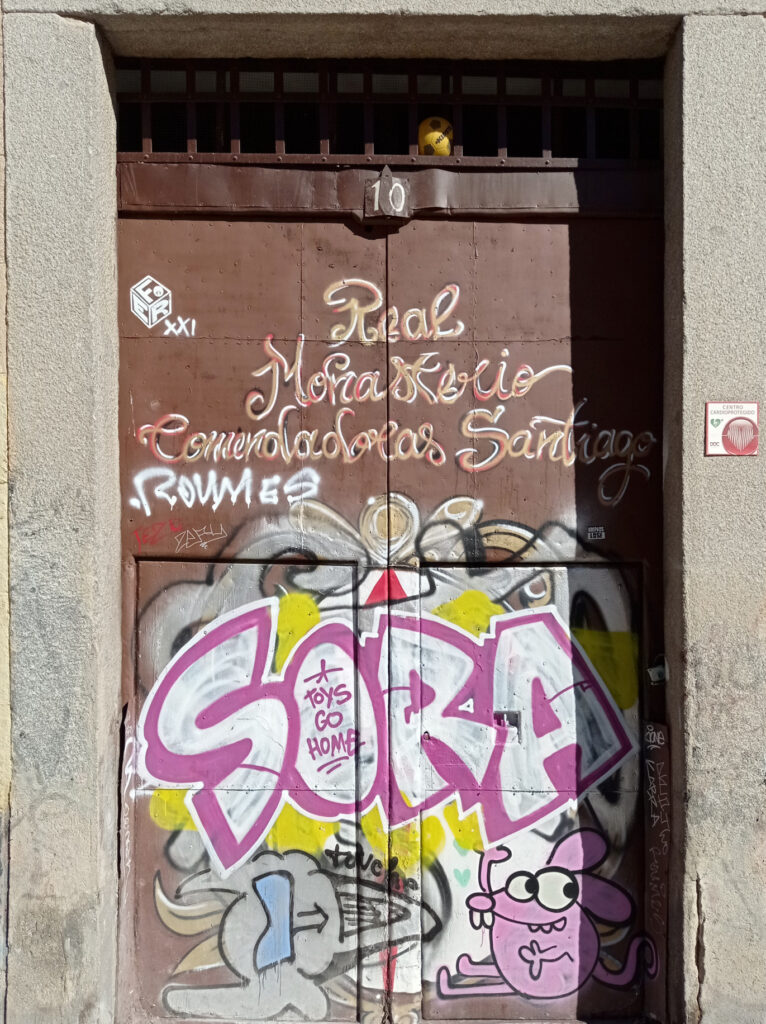
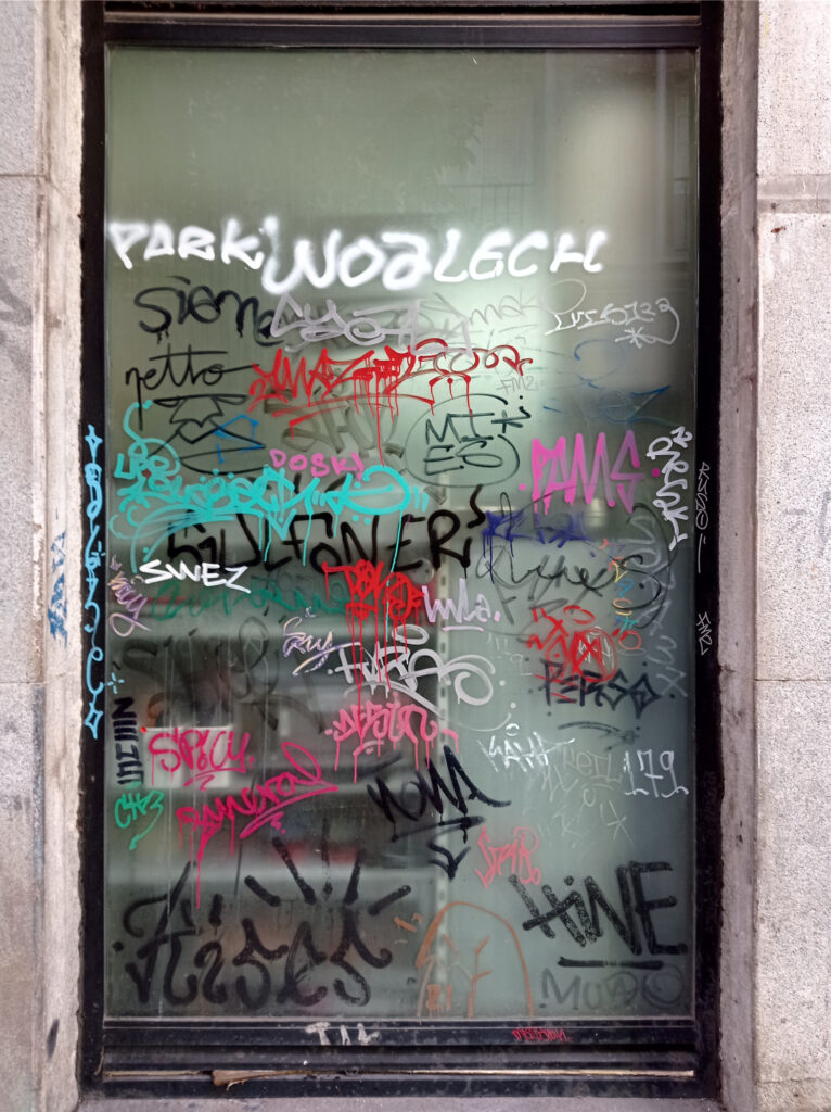
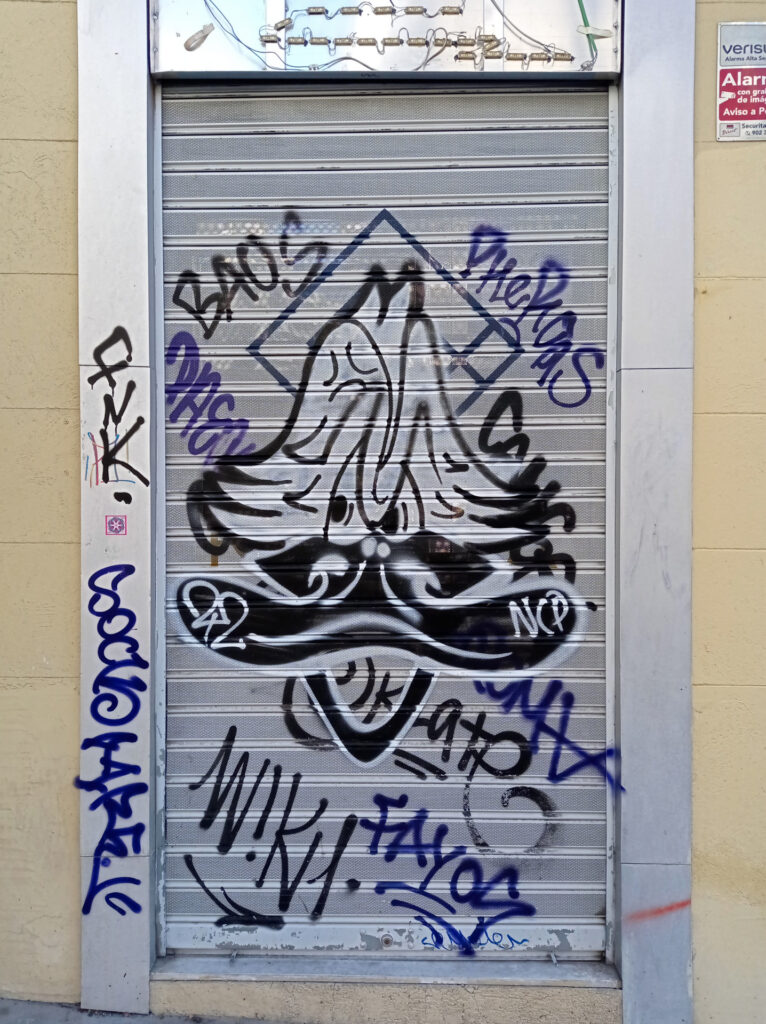
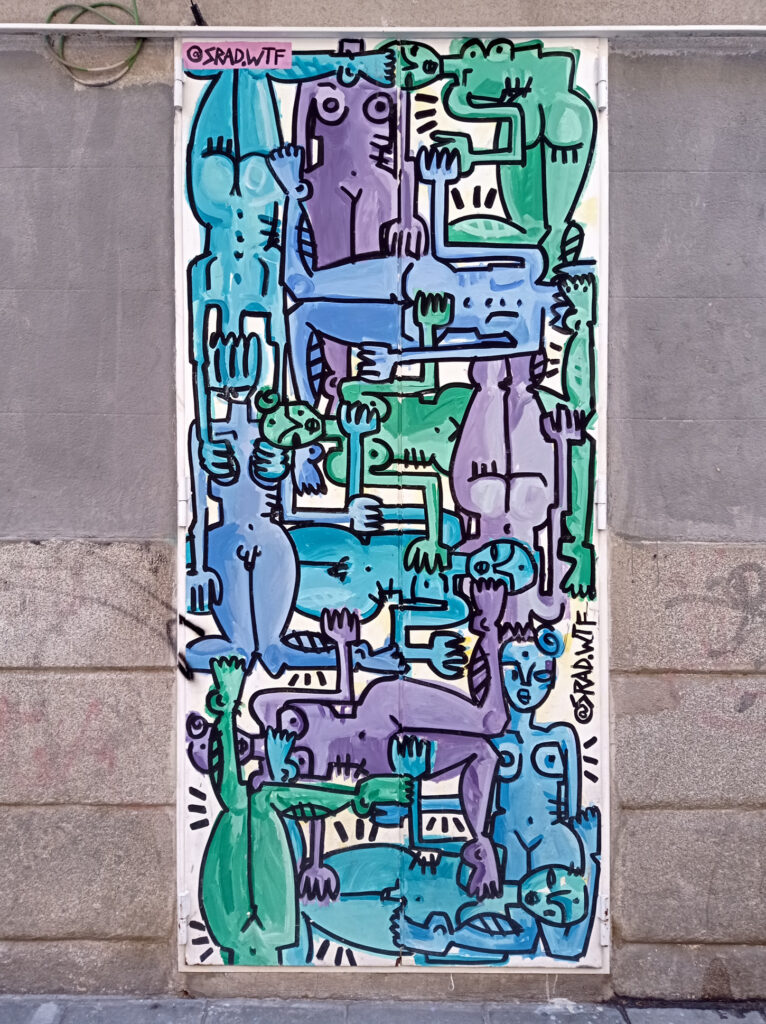
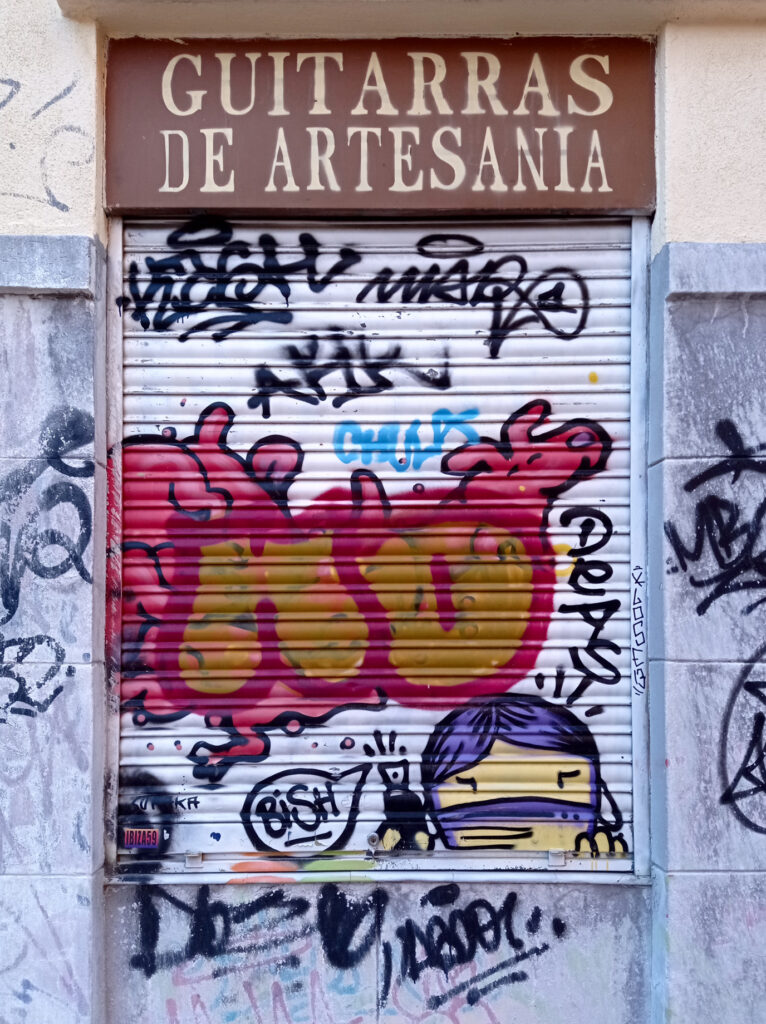
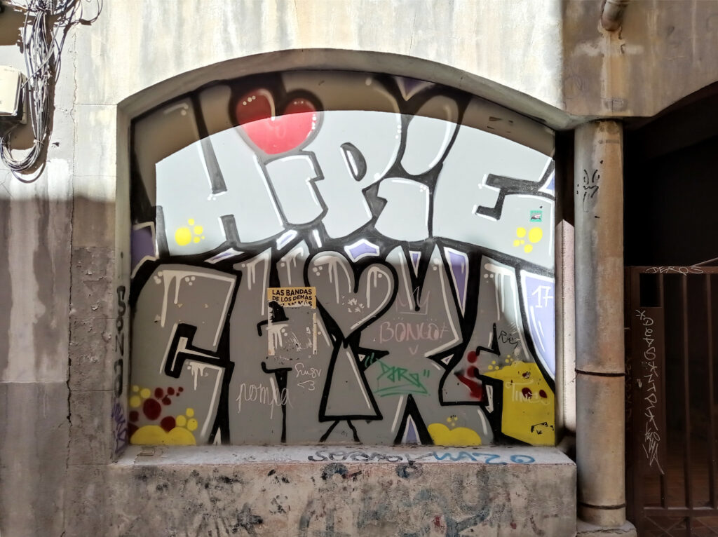
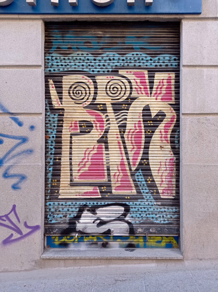
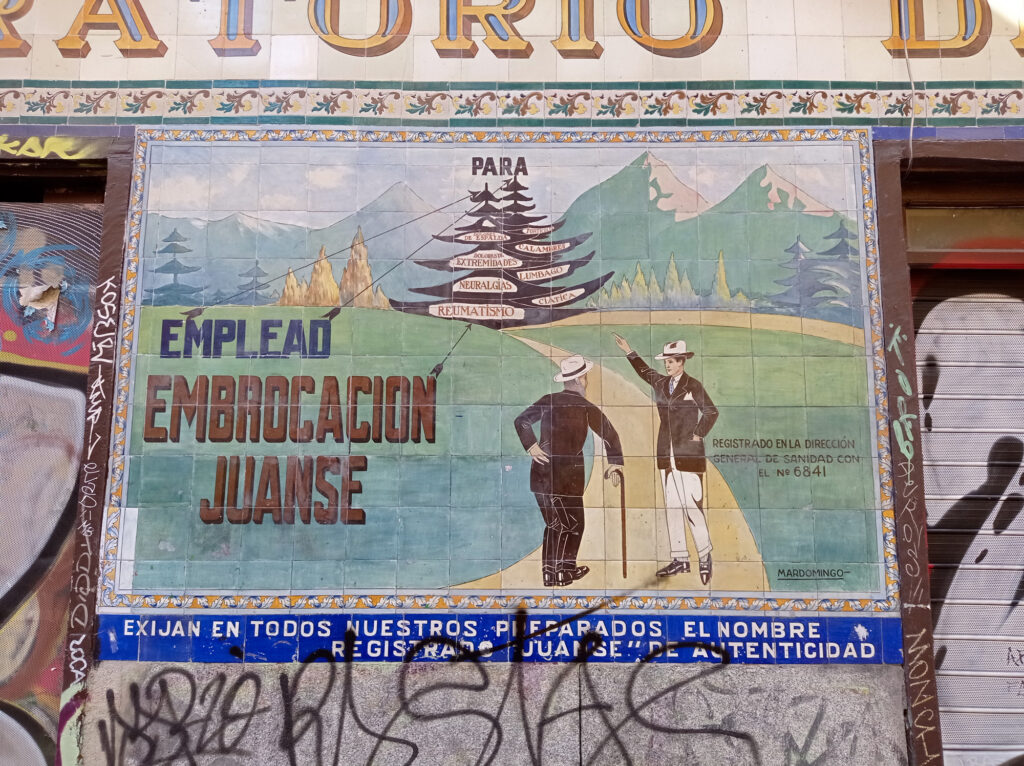
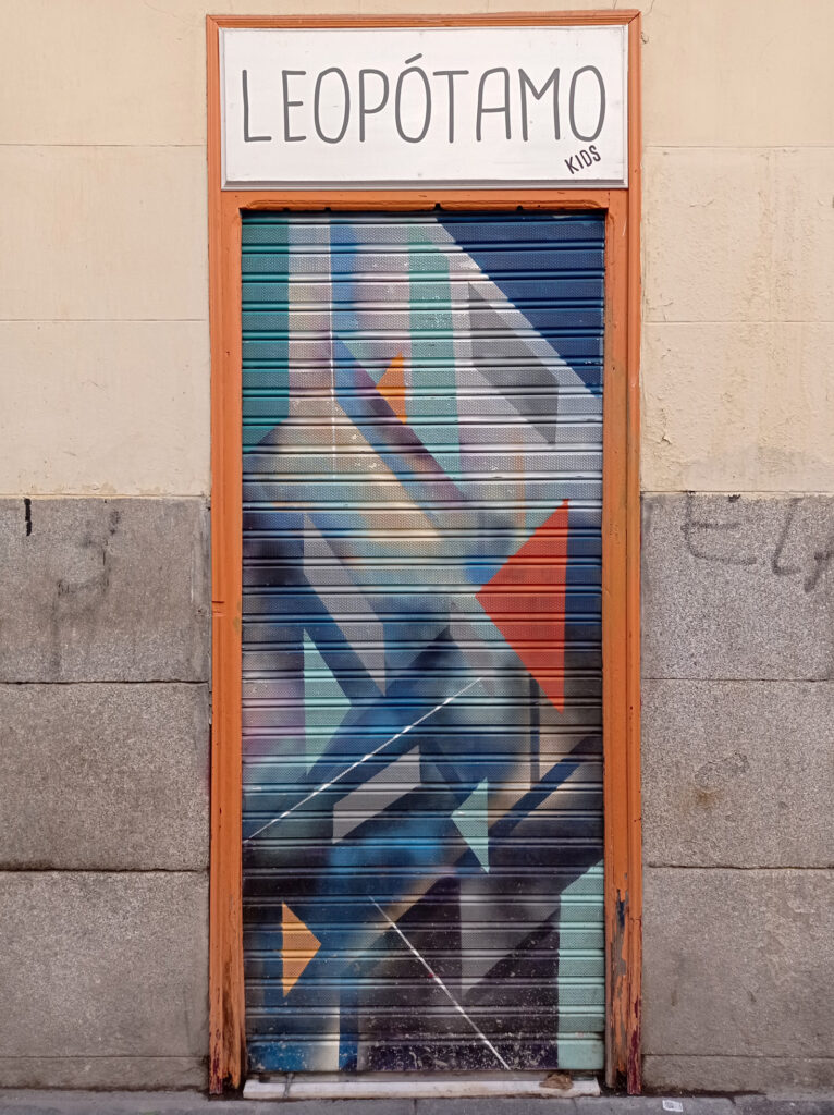
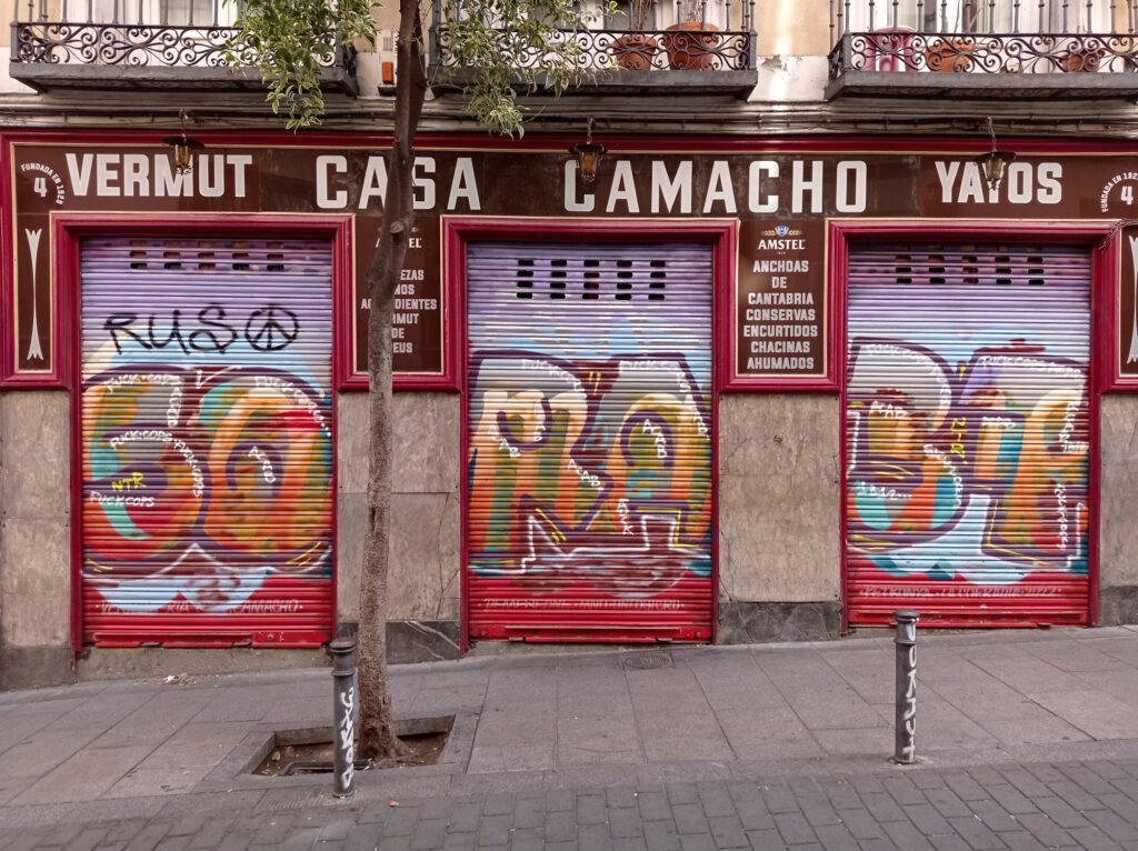
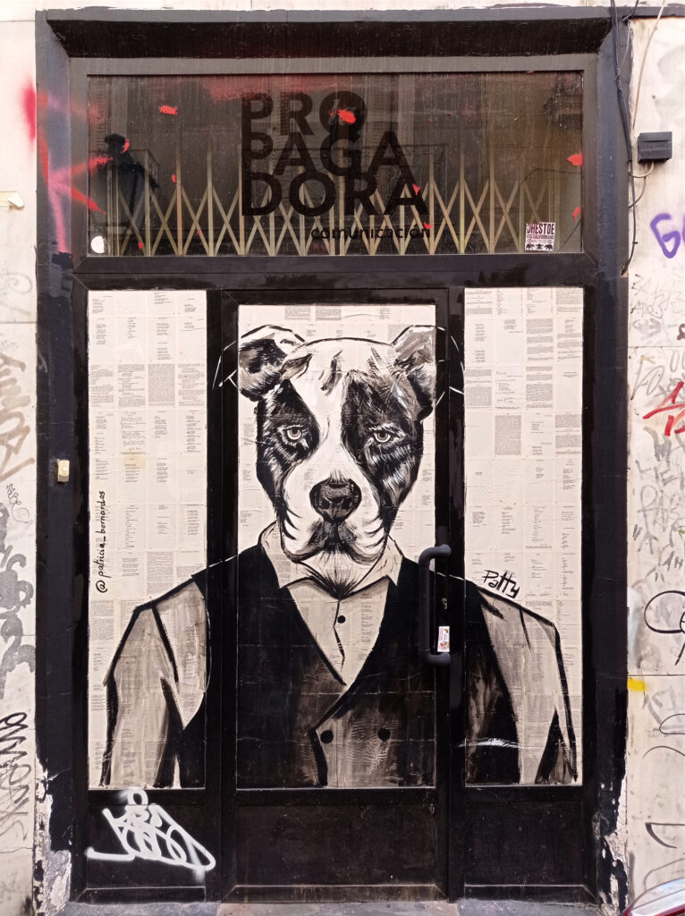
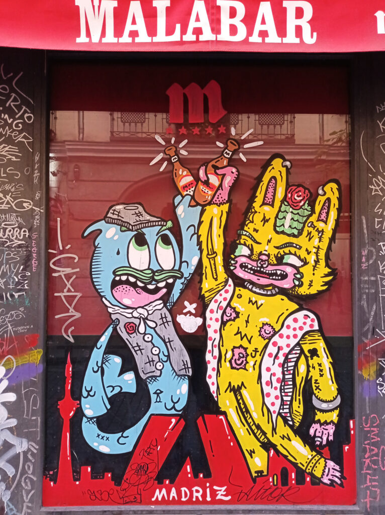
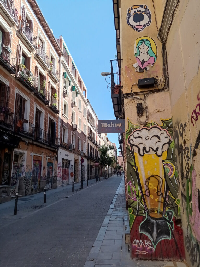
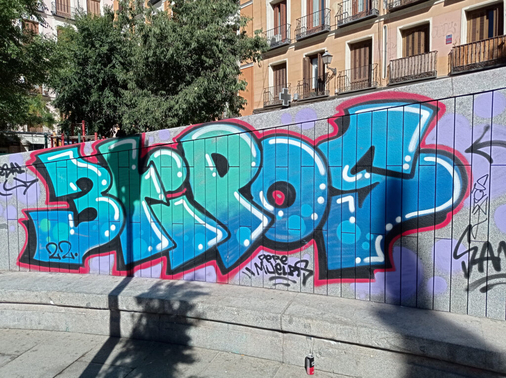
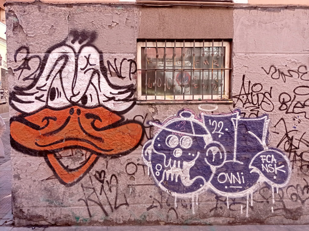
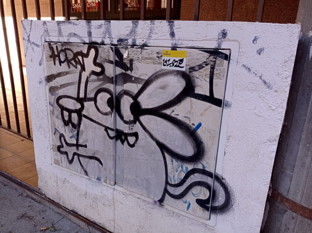
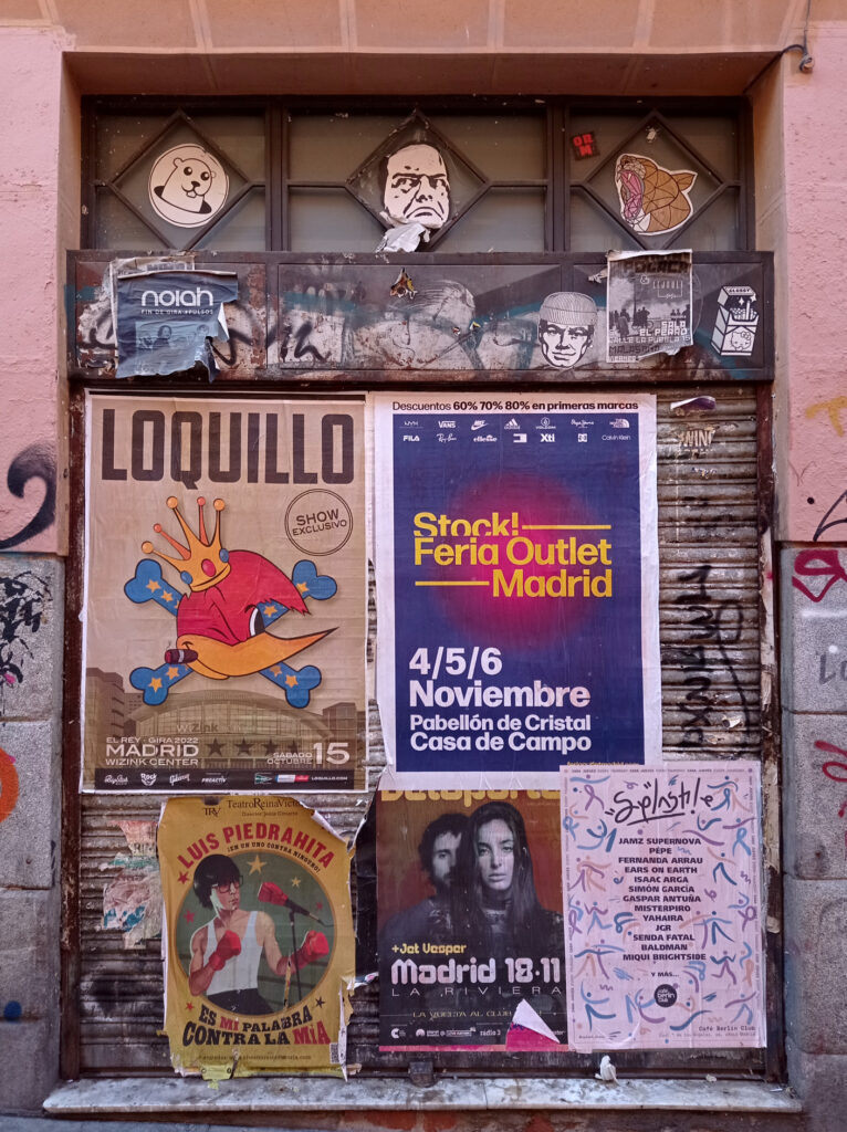
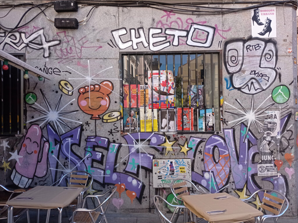
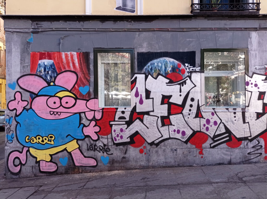
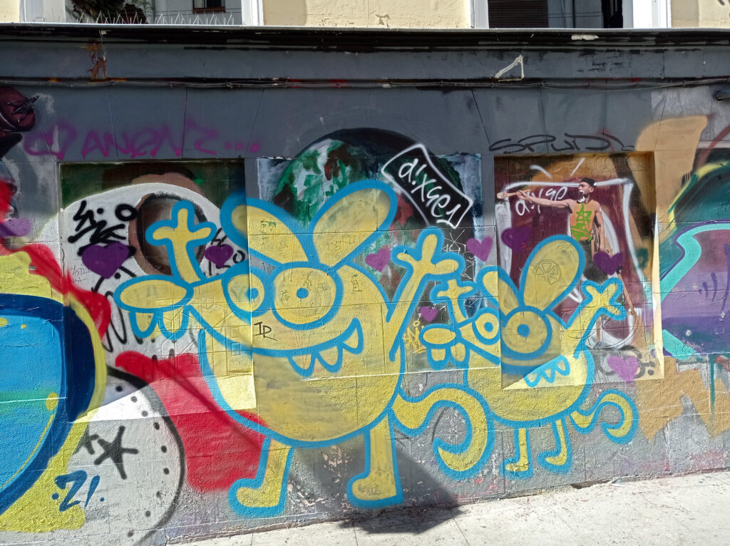
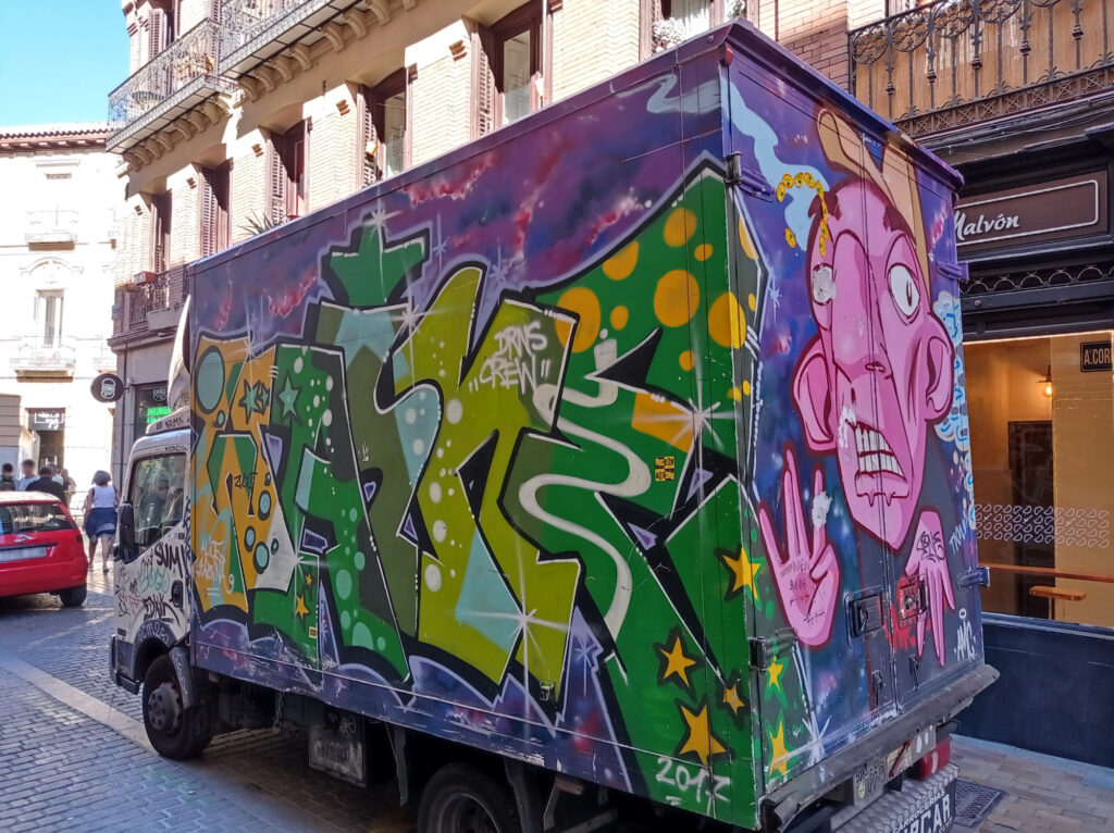
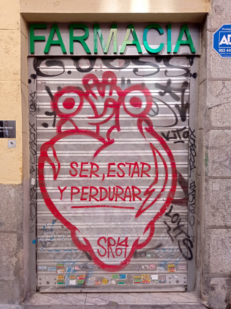
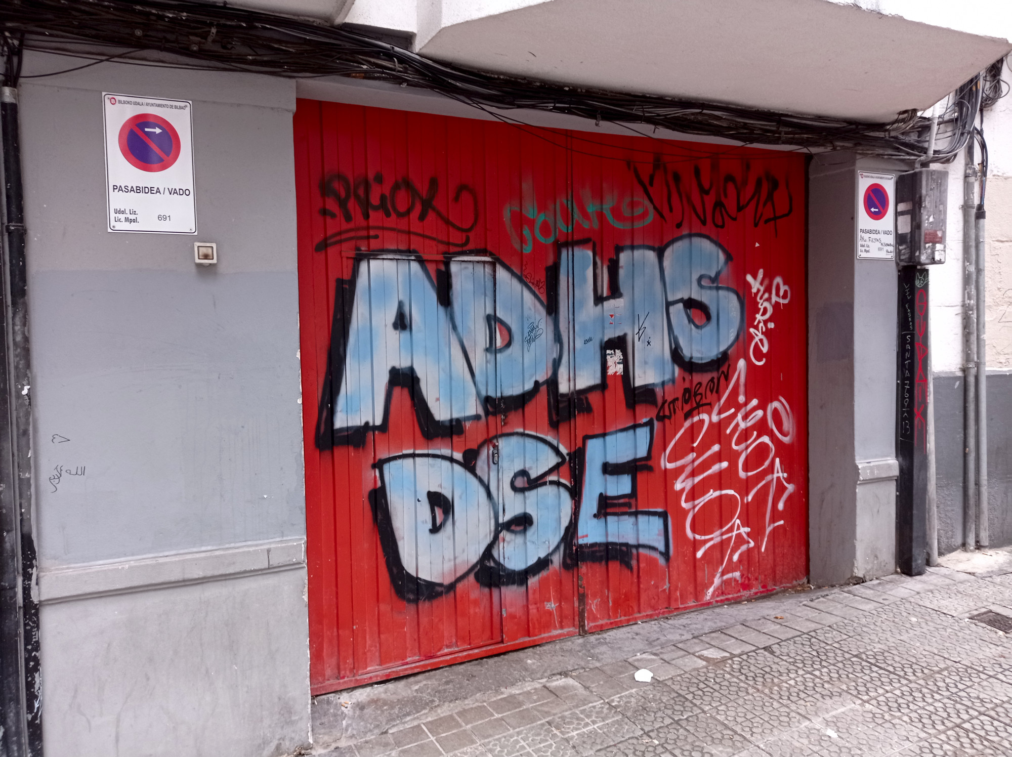
Madrid Street-Art Special
I had dinner someplace around the Malasaña quarter, which quite lively at night. I also noticed loads of art on the walls and shutters. So I just had to come back the next day during daylight and have a closer look…
After visiting Biarritz on the French side of Basque Country, I finally arrived in Spain and on the Iberian peninsula.
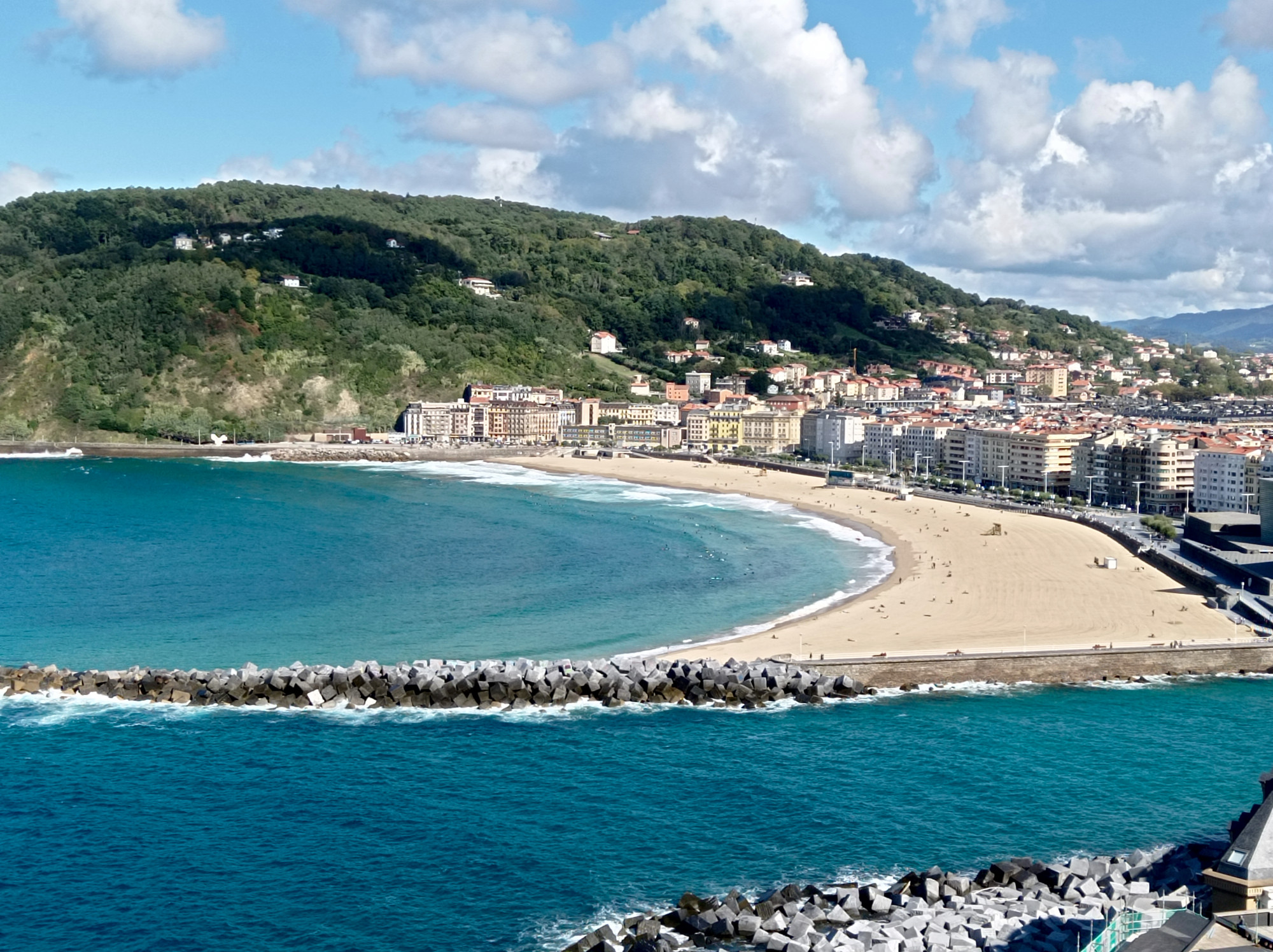
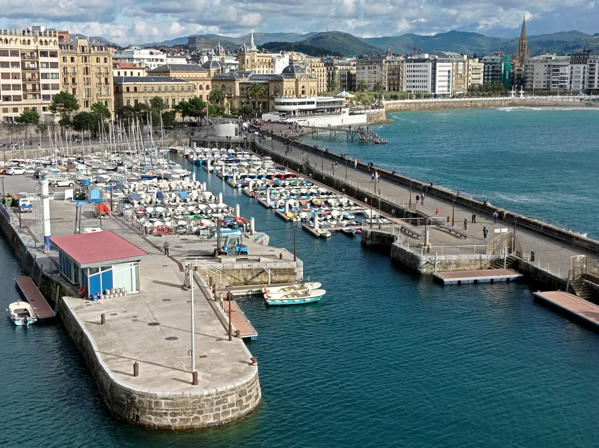
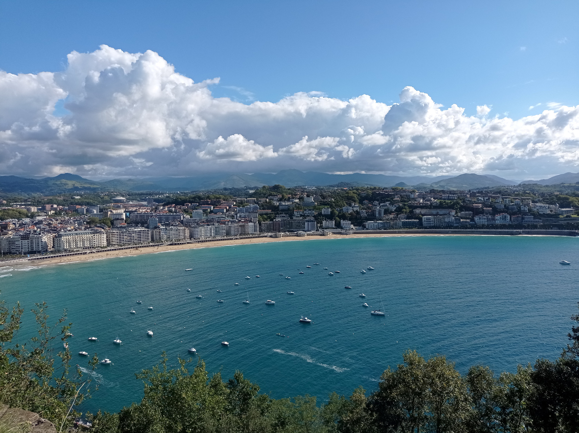
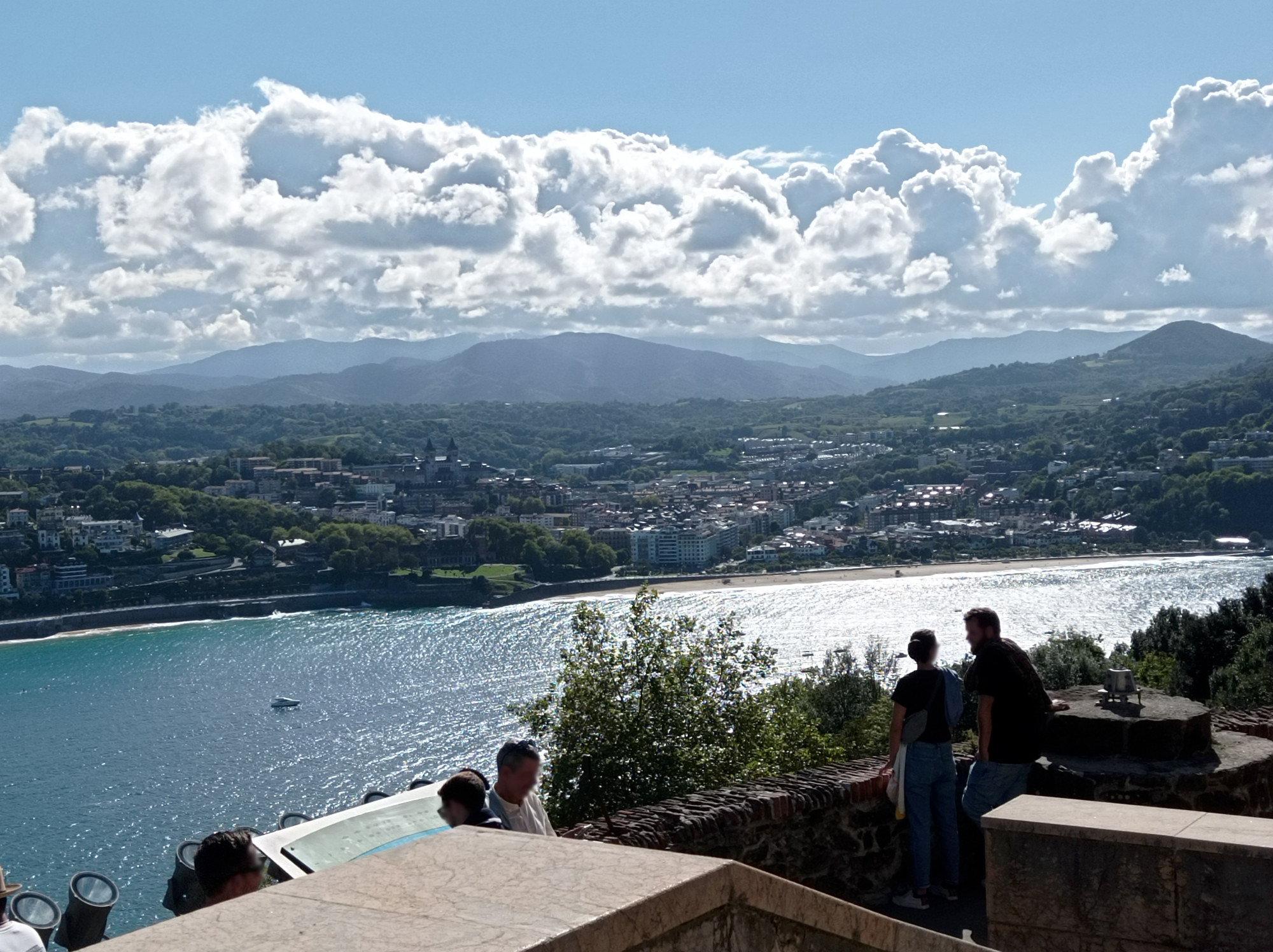
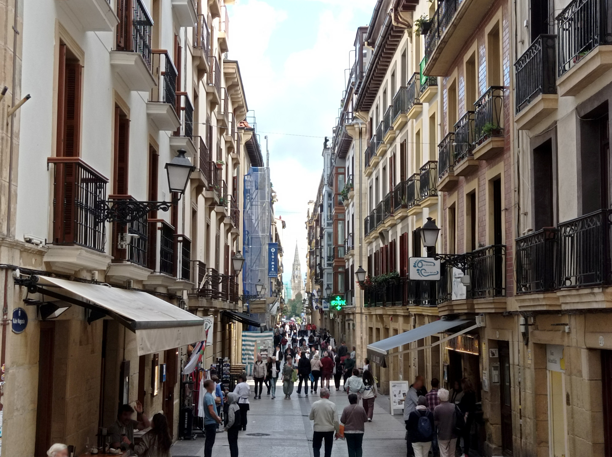
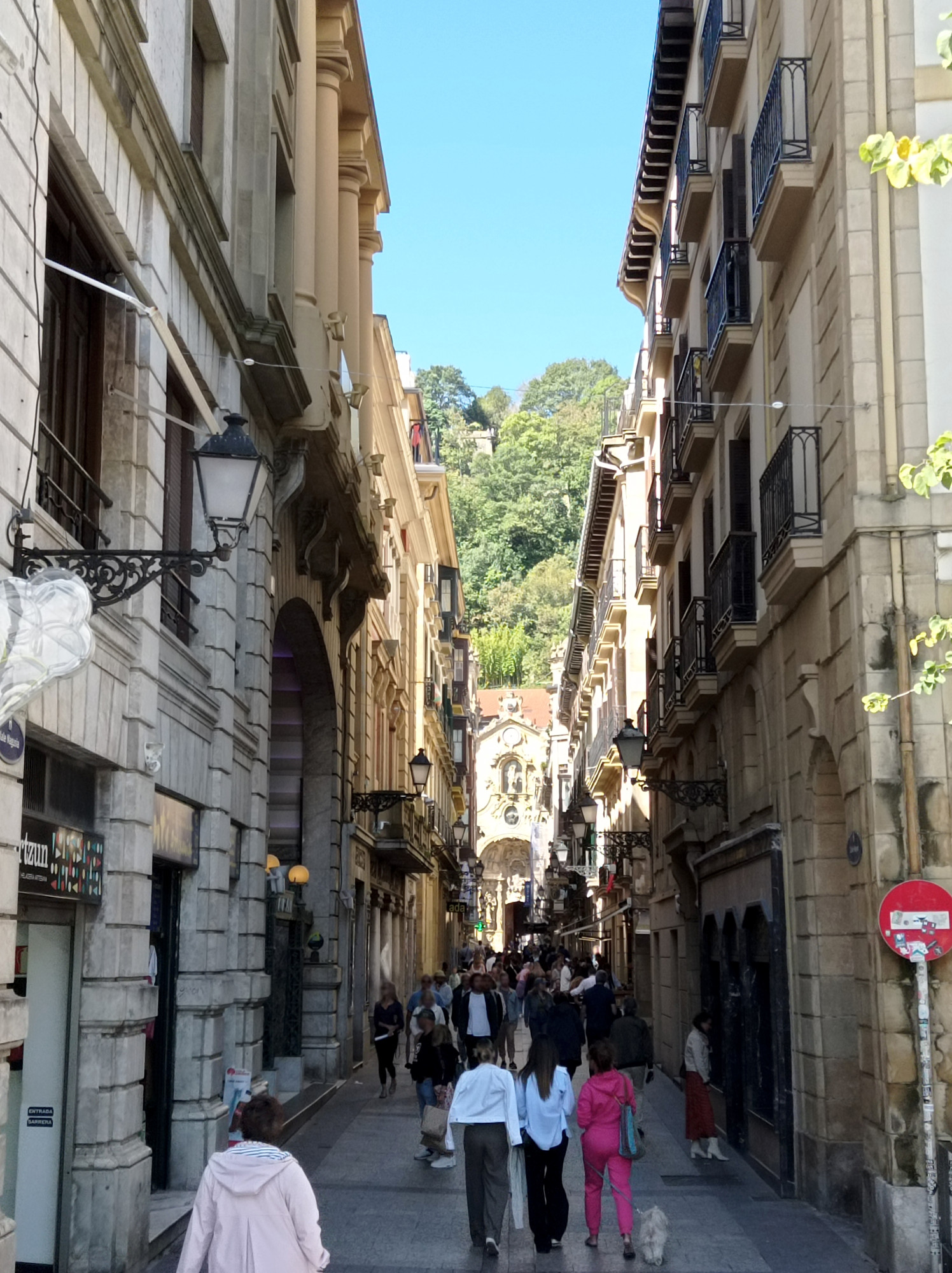
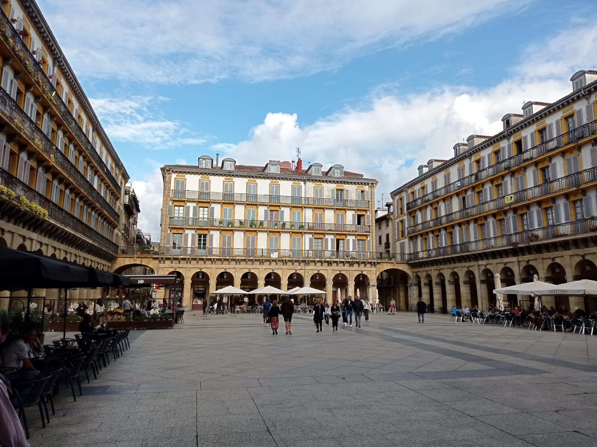
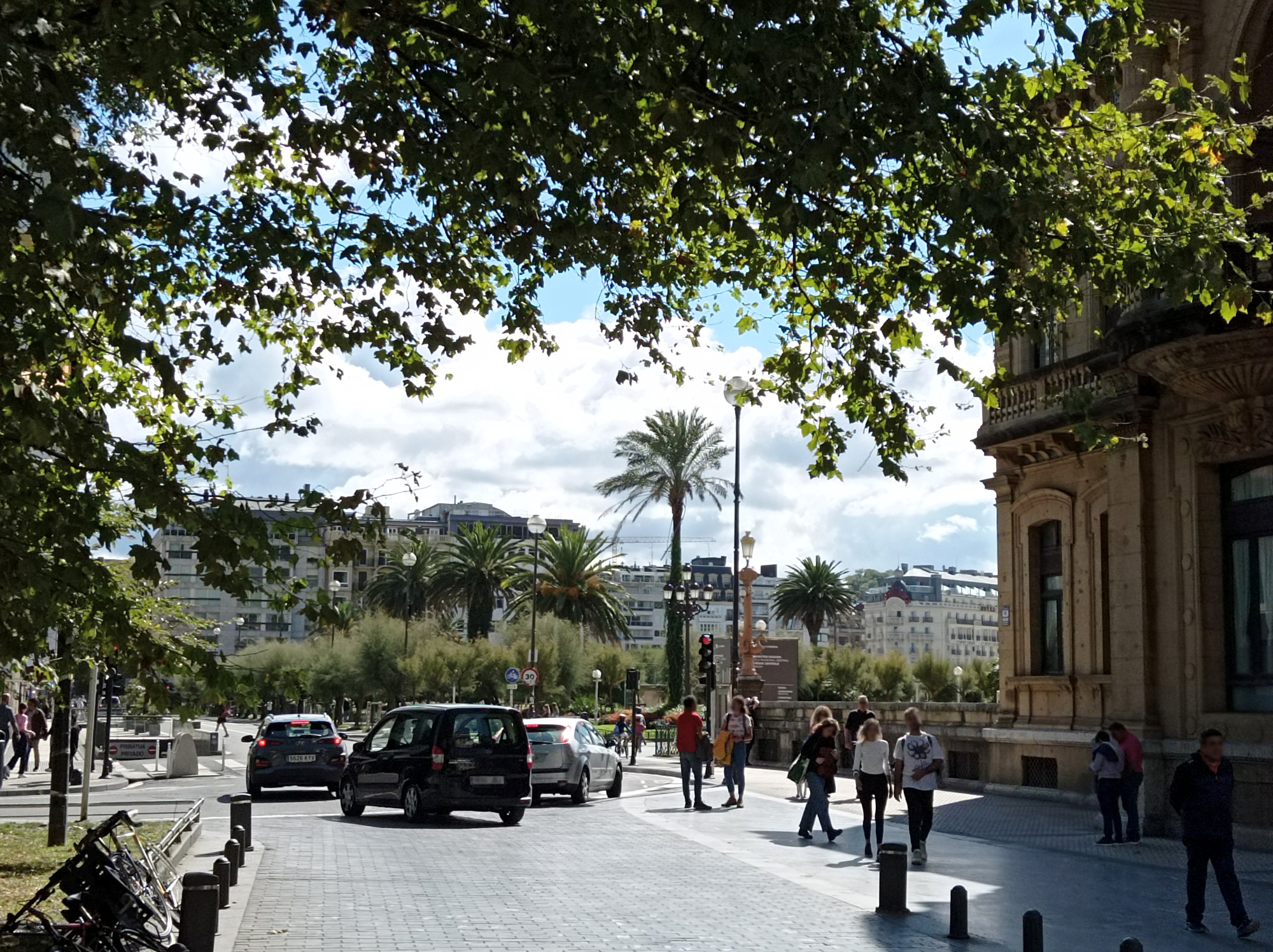
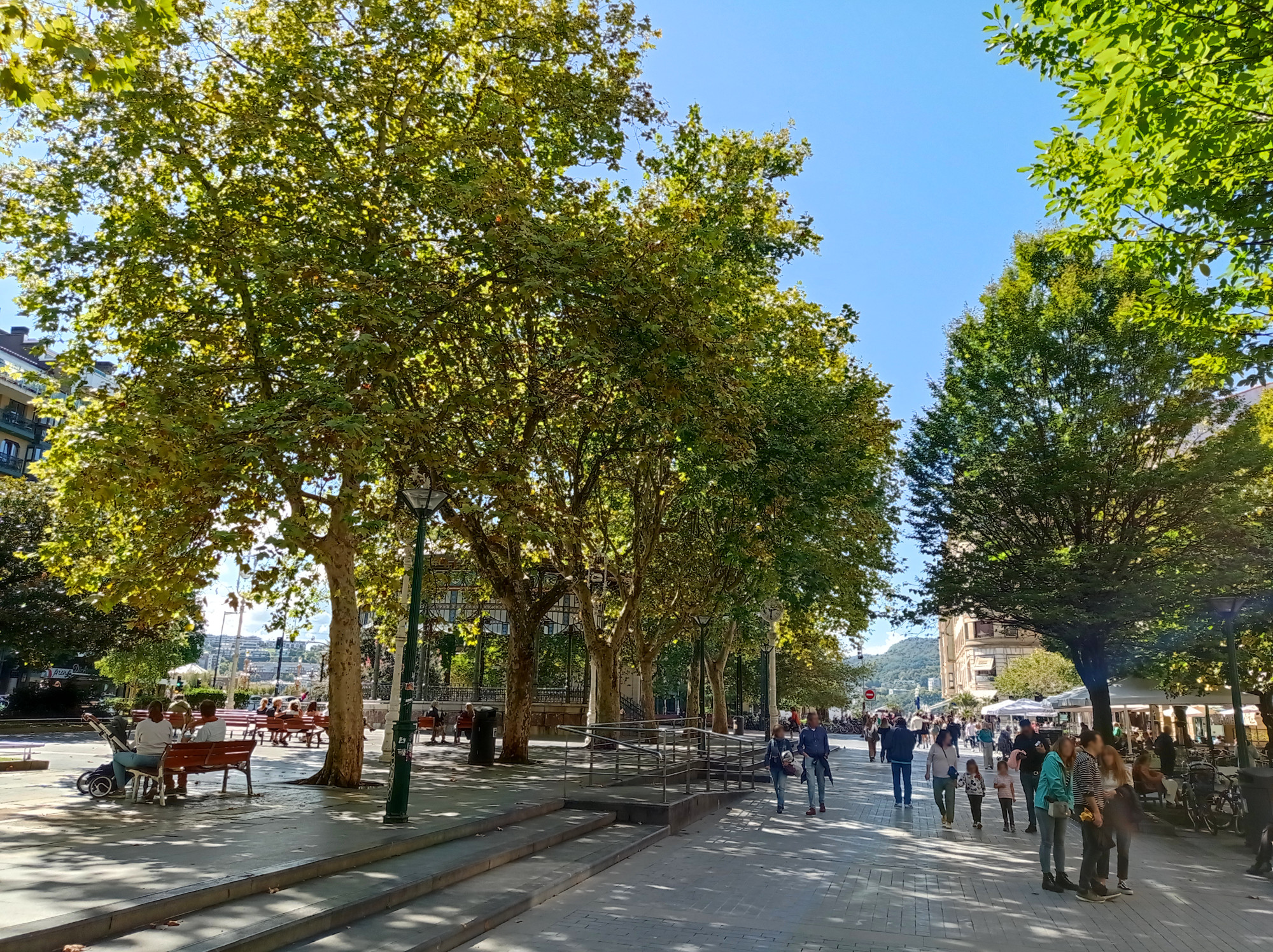
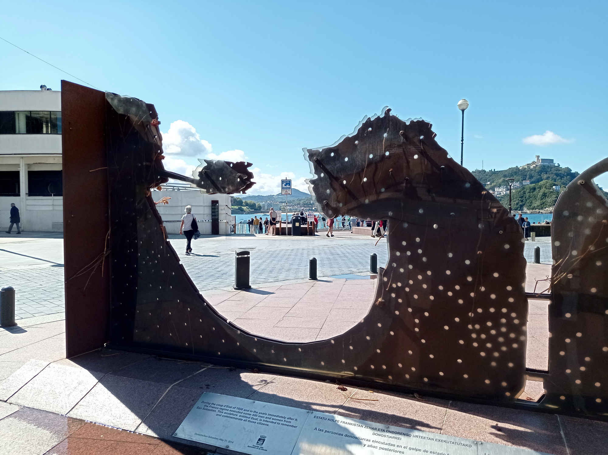
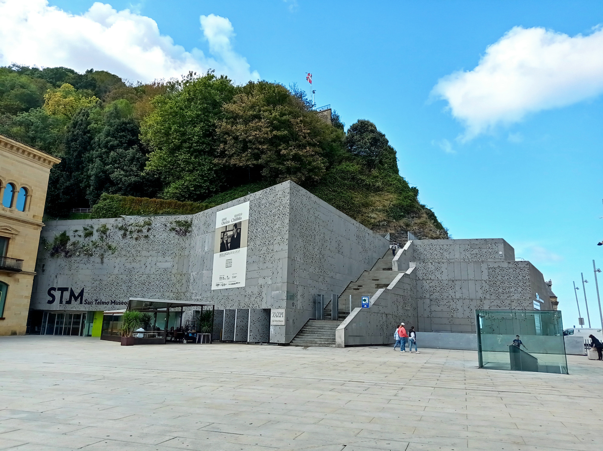
Donostia (San Sebastian)
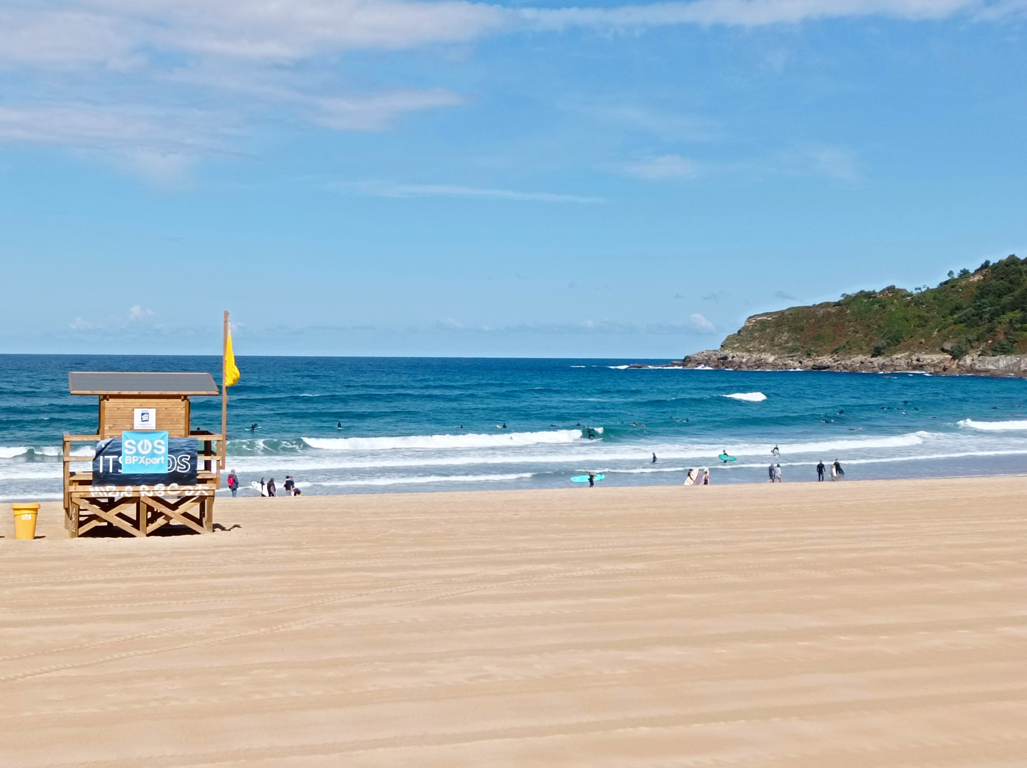
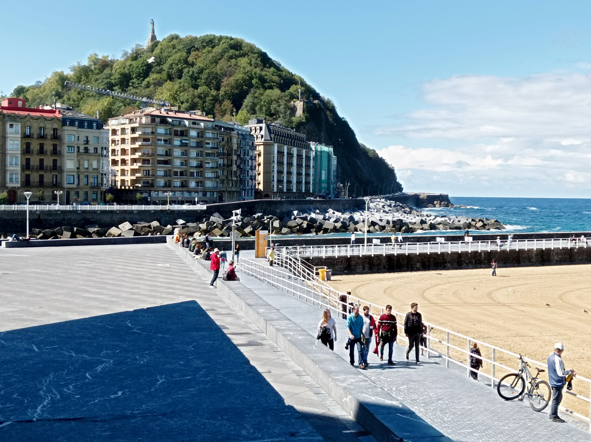
First stop was in Donostia, a city famous for it’s surf beaches, like Zurriola. It’s located by a river mouth and two bays. In the middle, there’s a small hill raising from the sea and the old town is right beneath it. Great views from the top.
Sopela
Moved west to Sopela, a small coastal suburb of Bilbao. Great beaches surrounded by small cliffs are in walking distance. Unfortunately, it was all rainy and stormy during my stay. Except for the day I arrived and the day that I left:
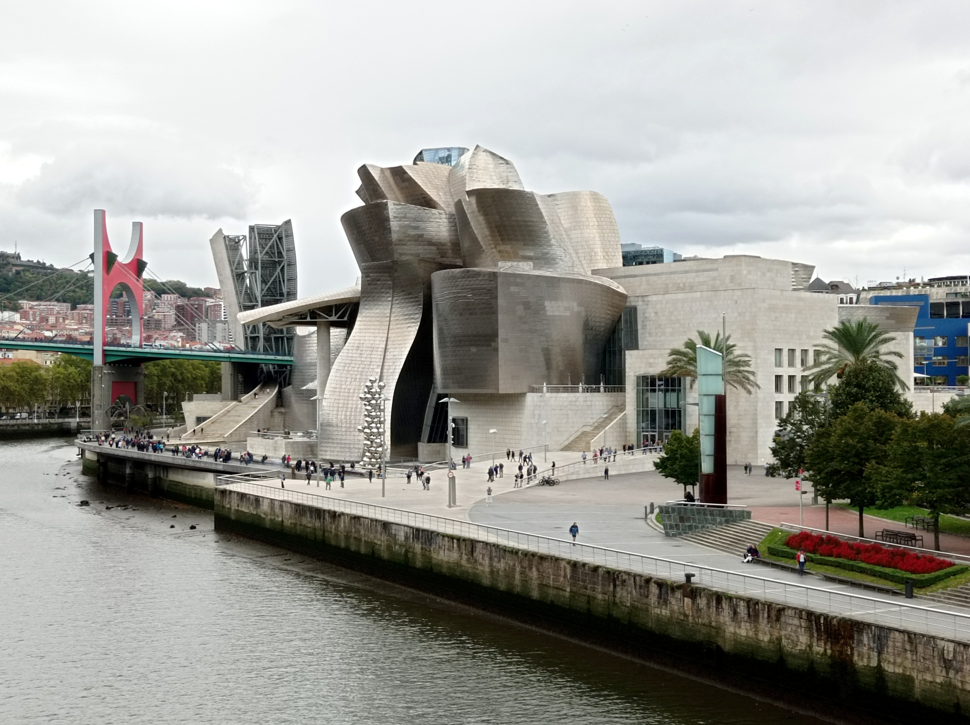
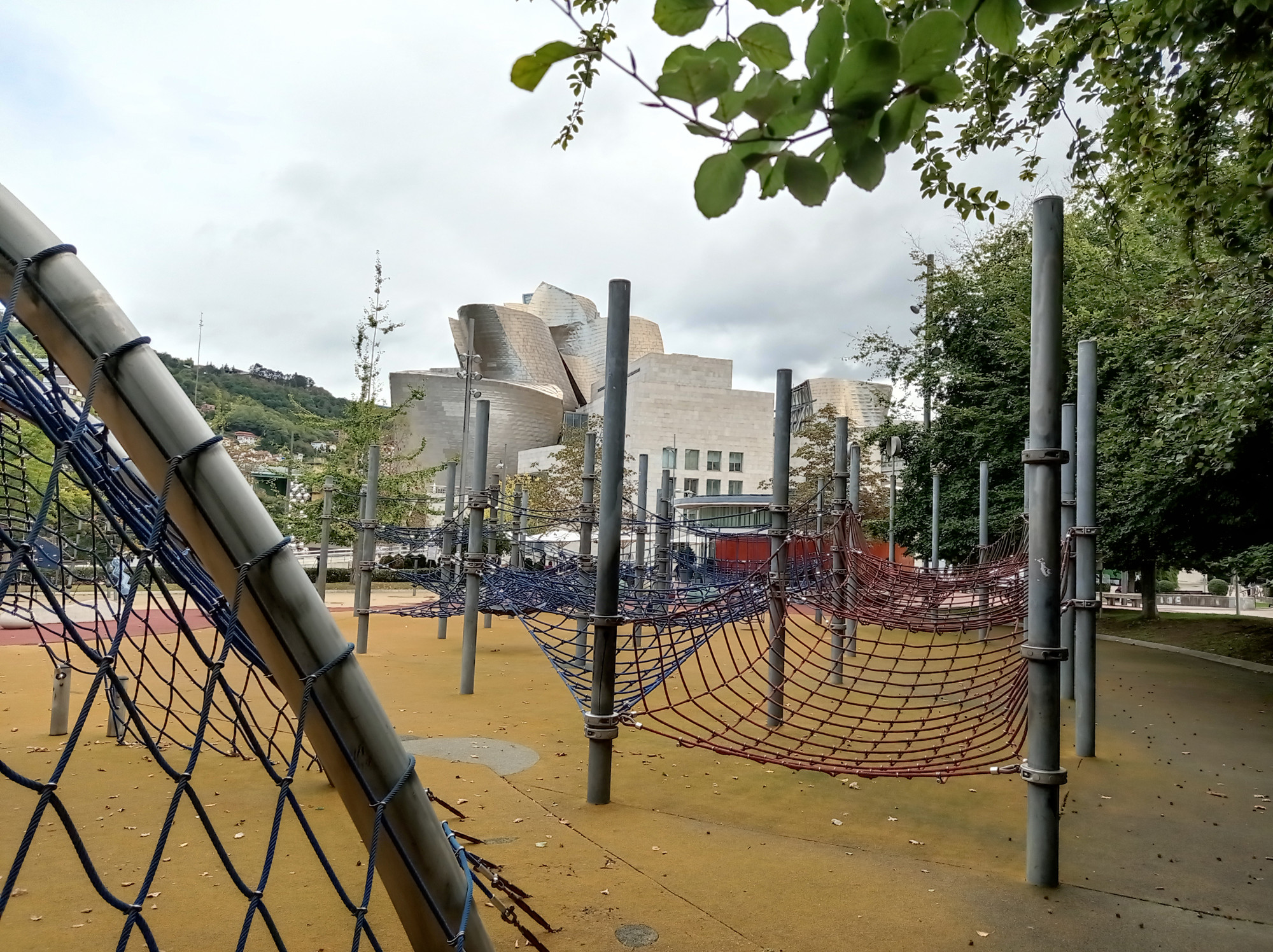
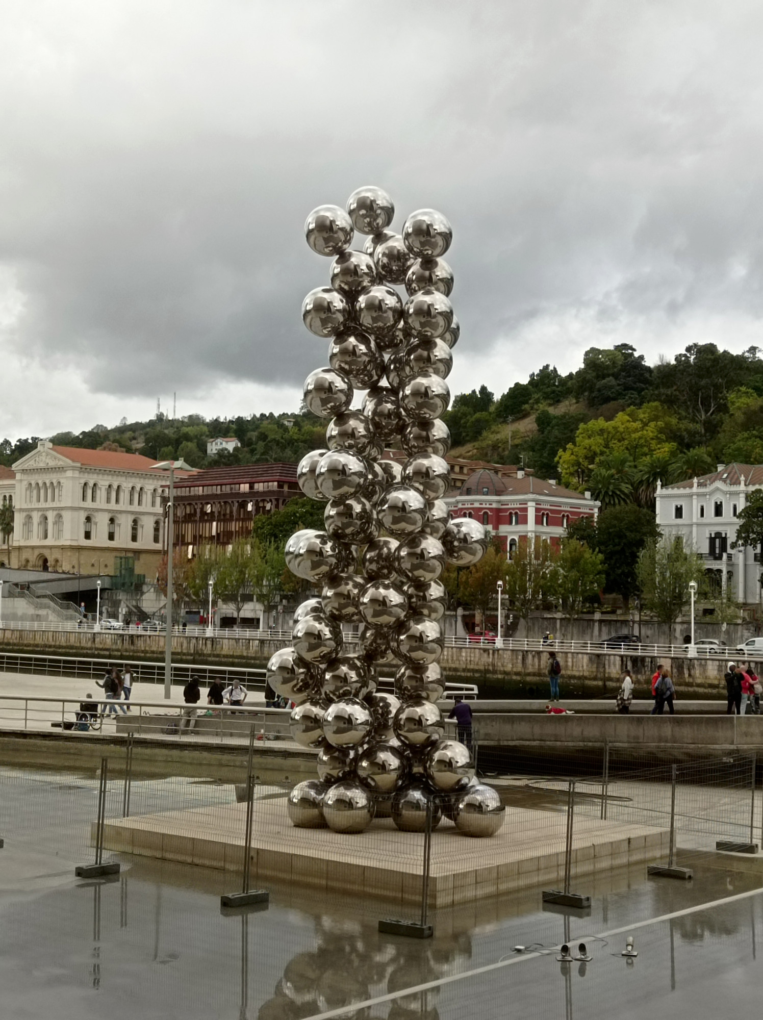
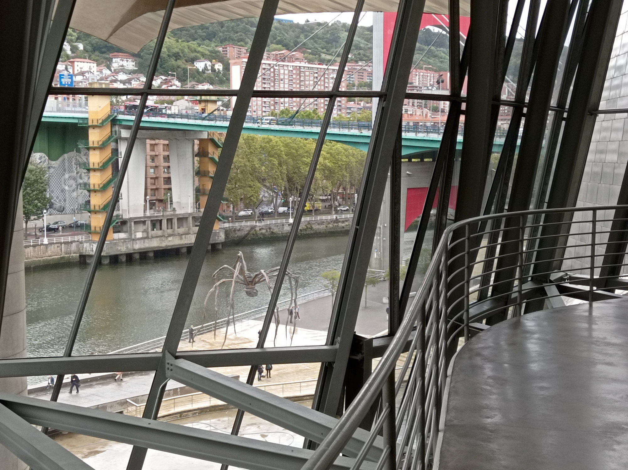
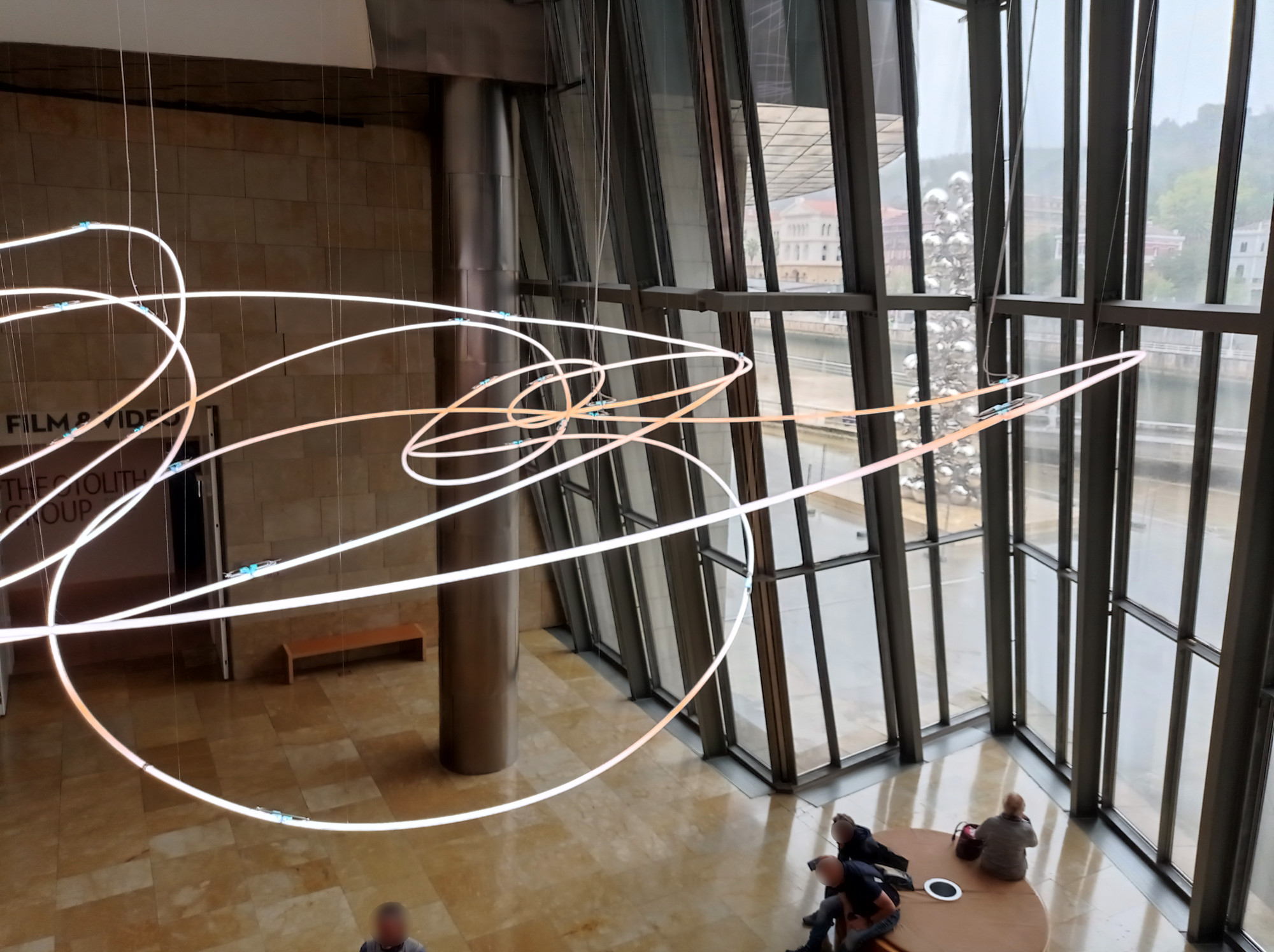
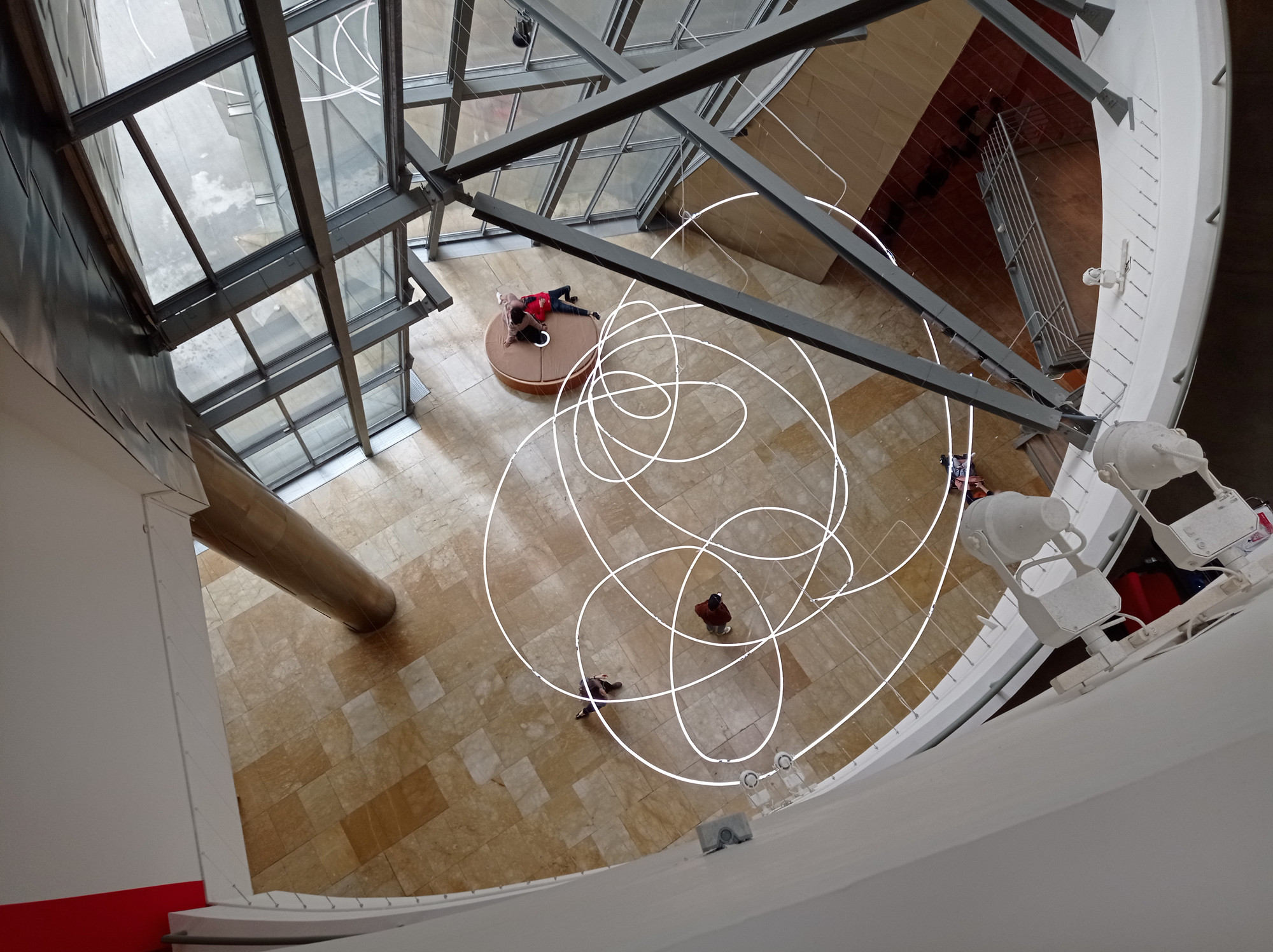
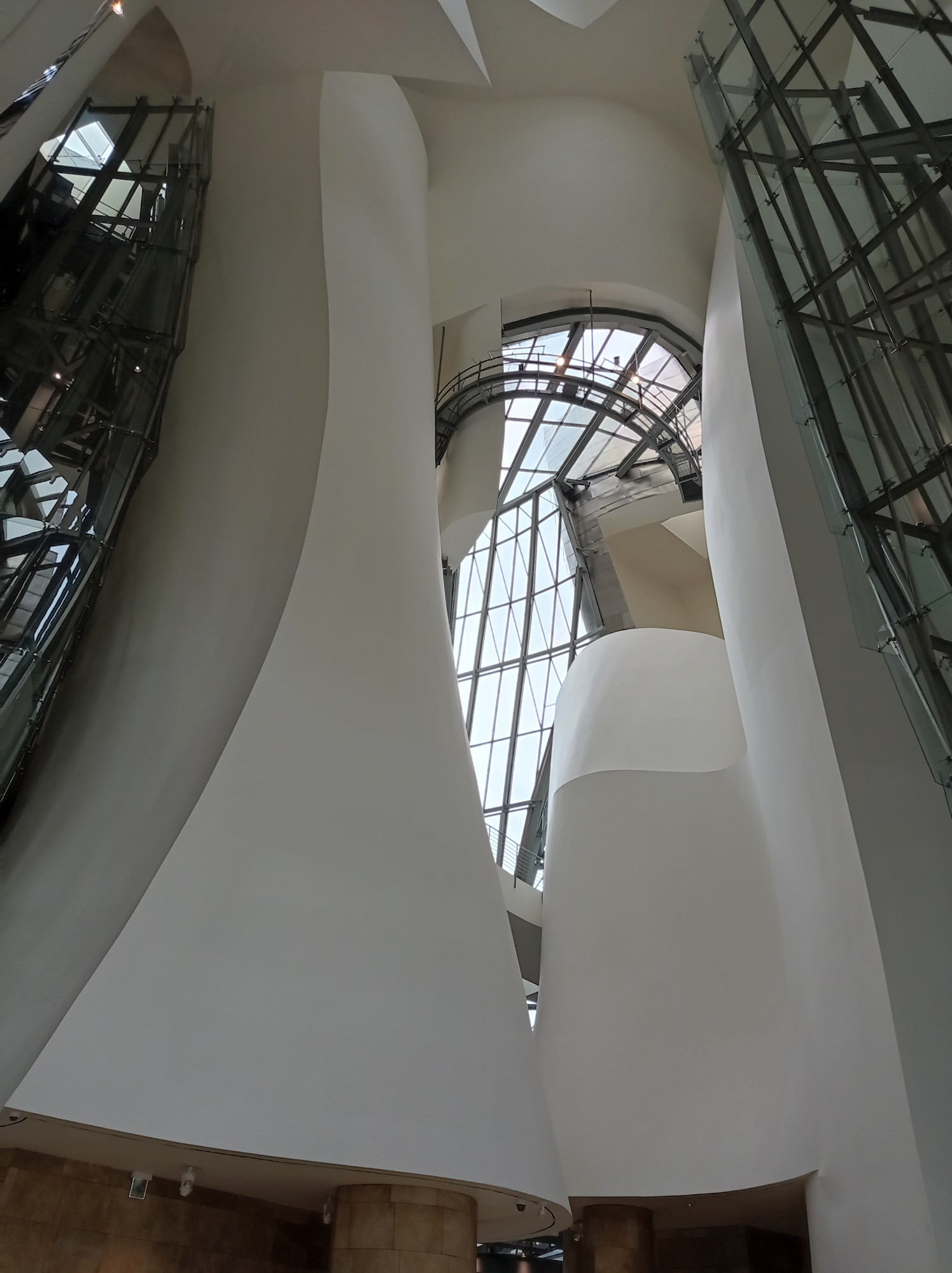
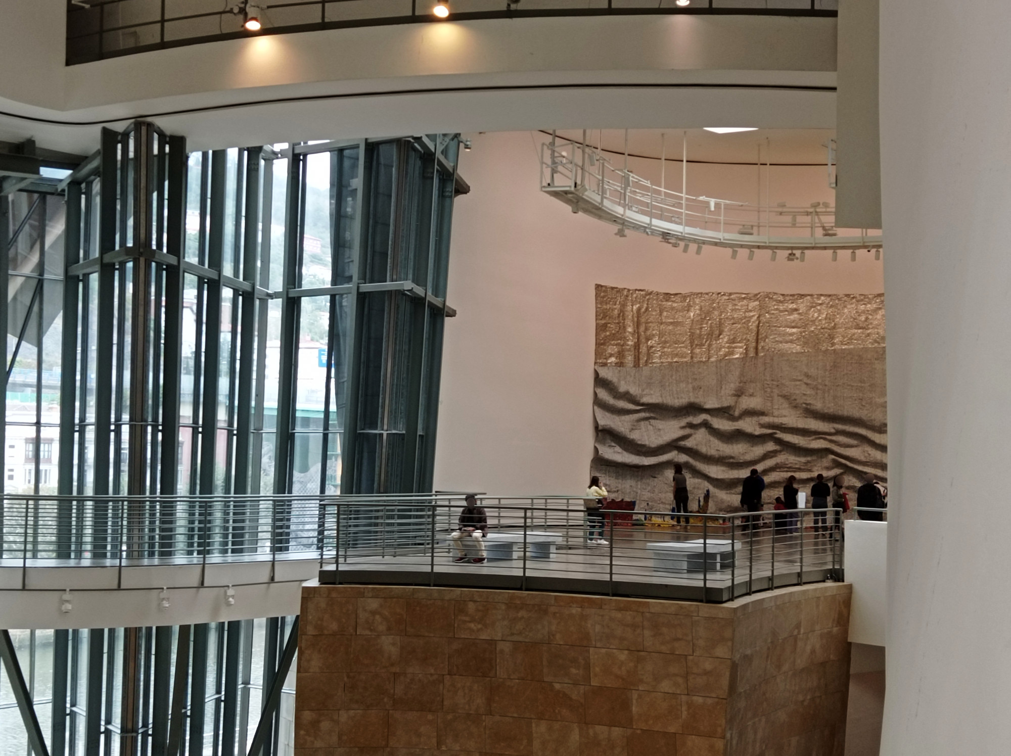
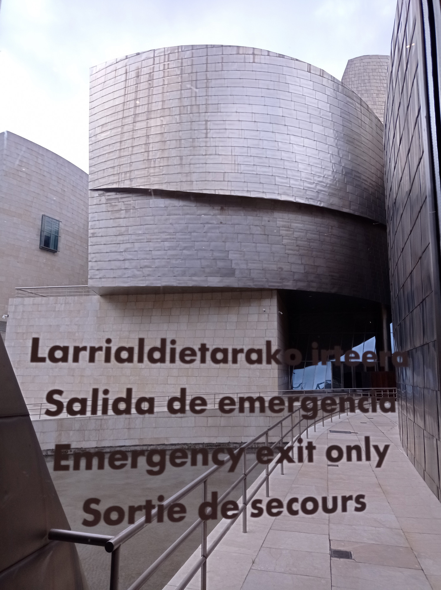
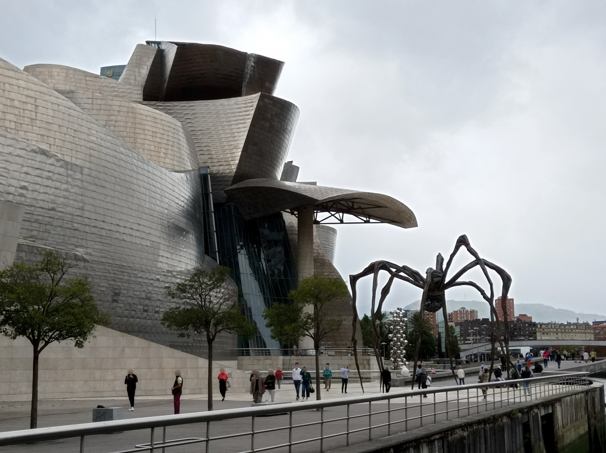
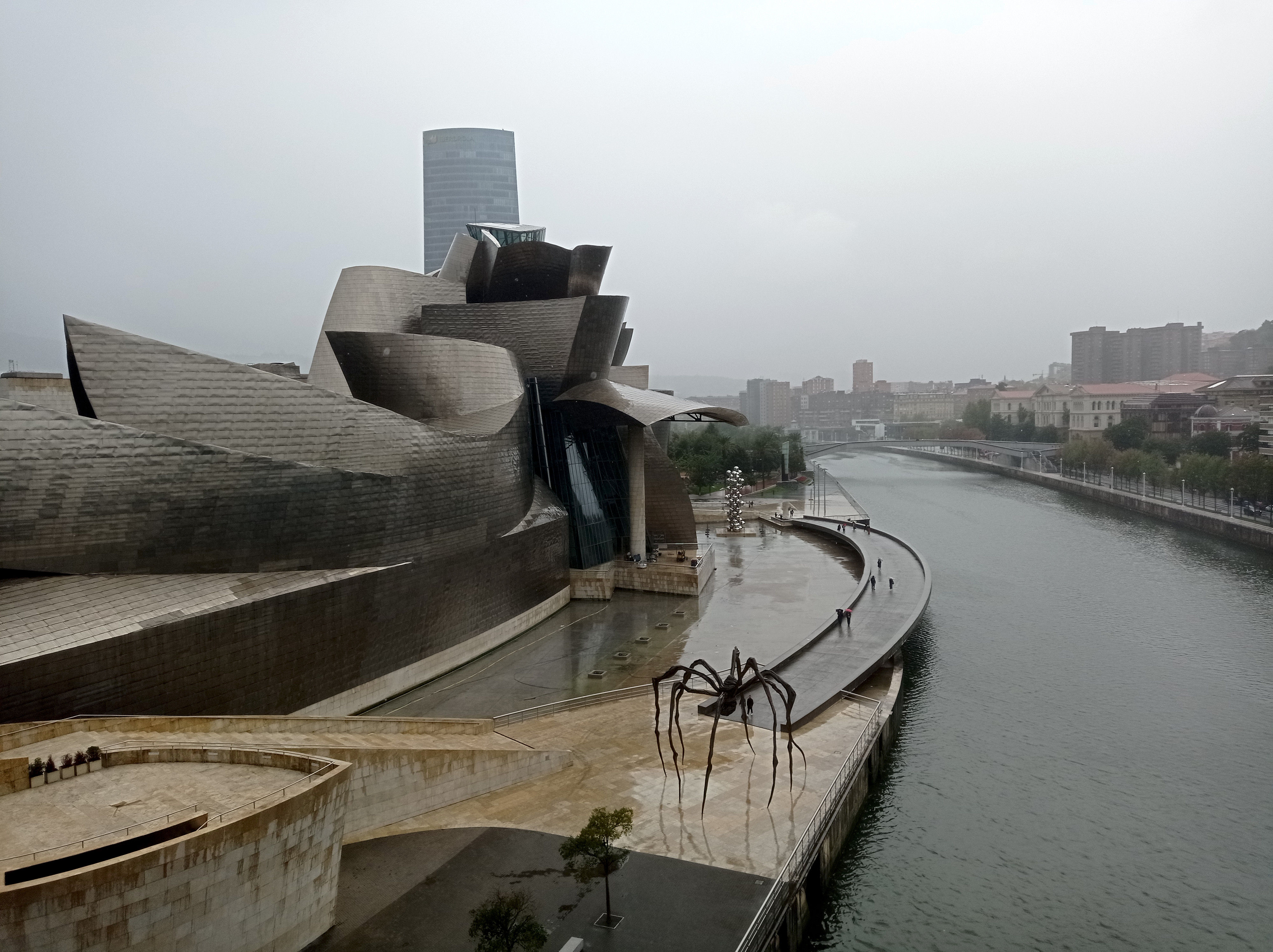
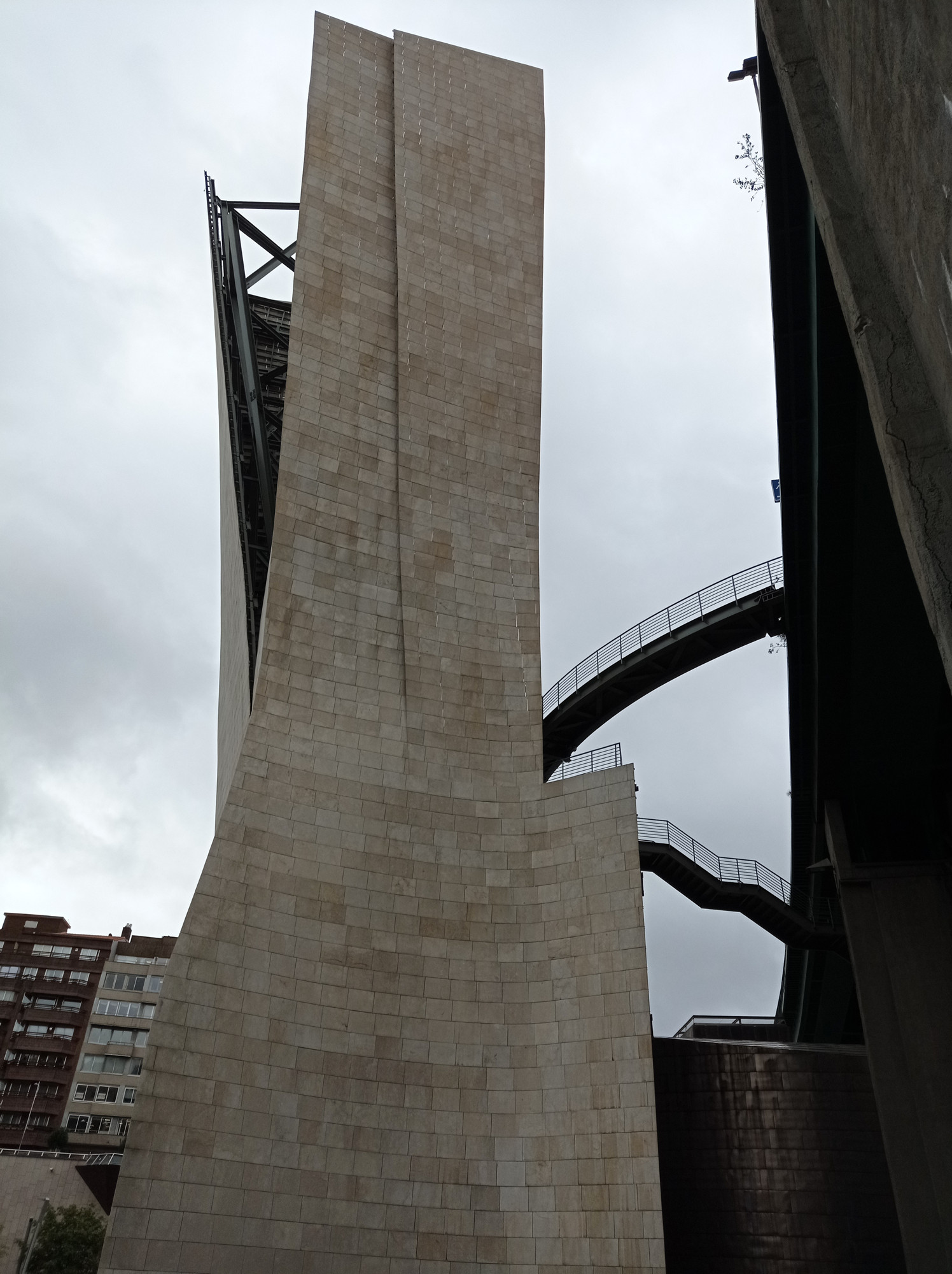
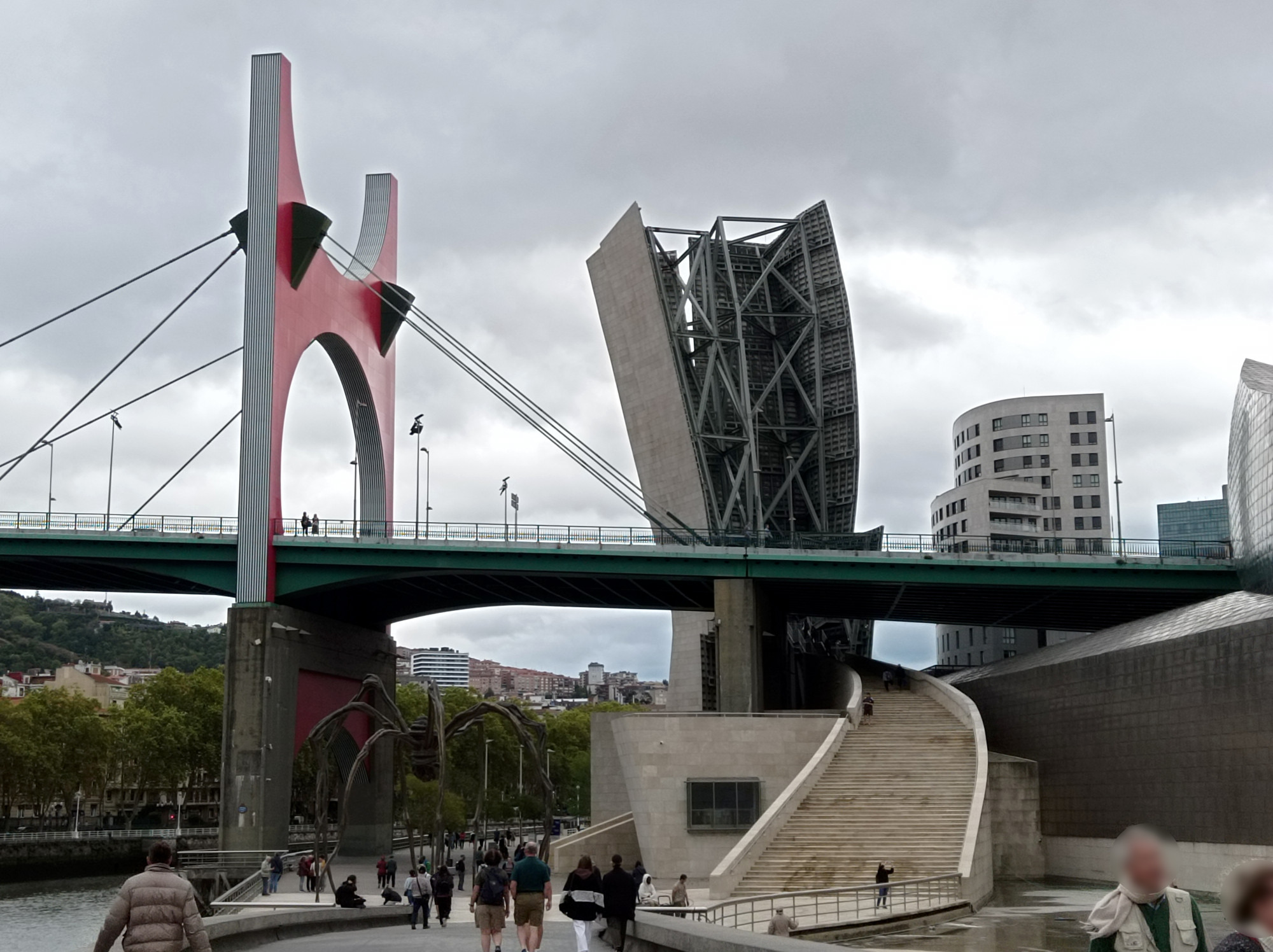
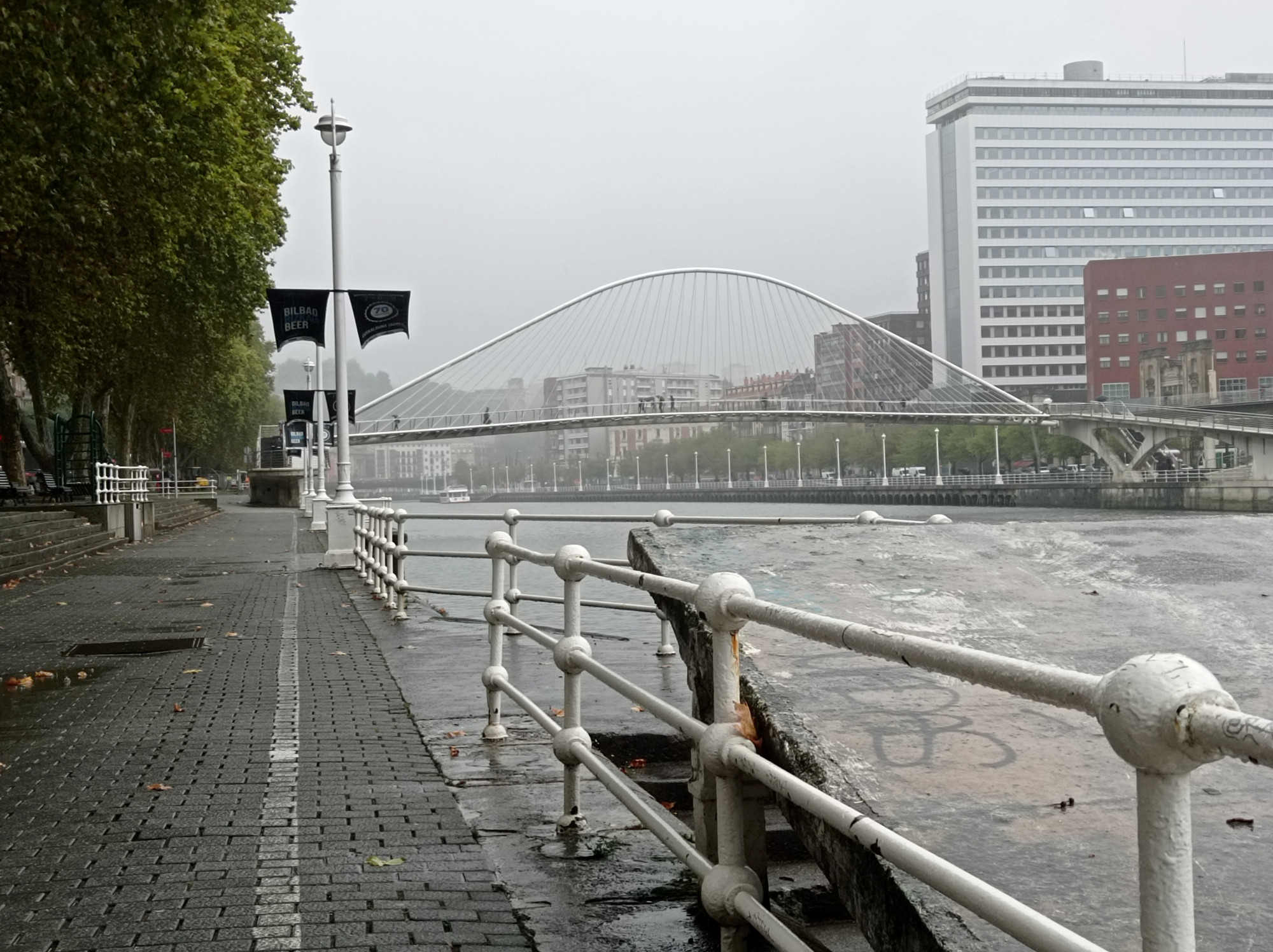
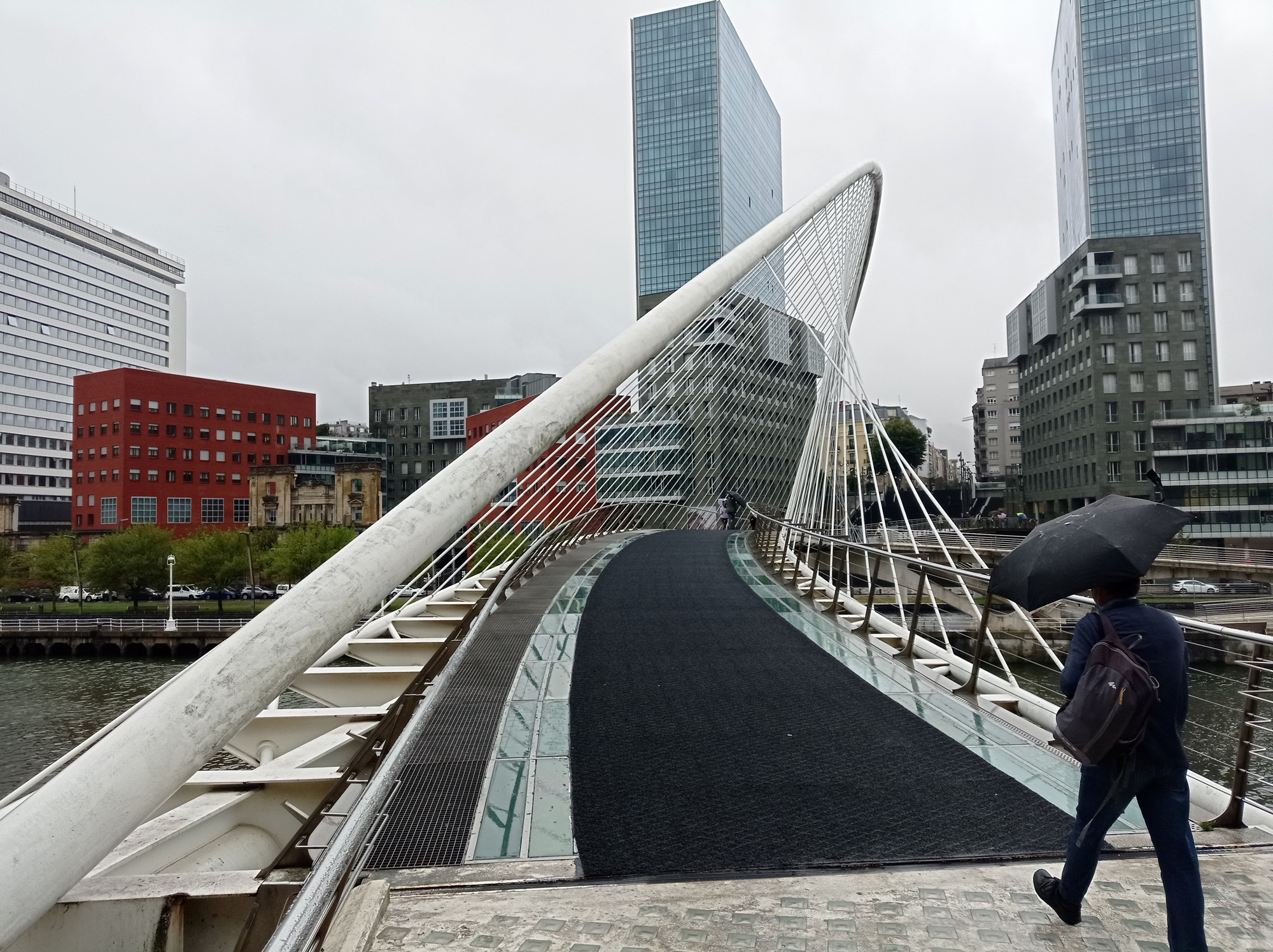
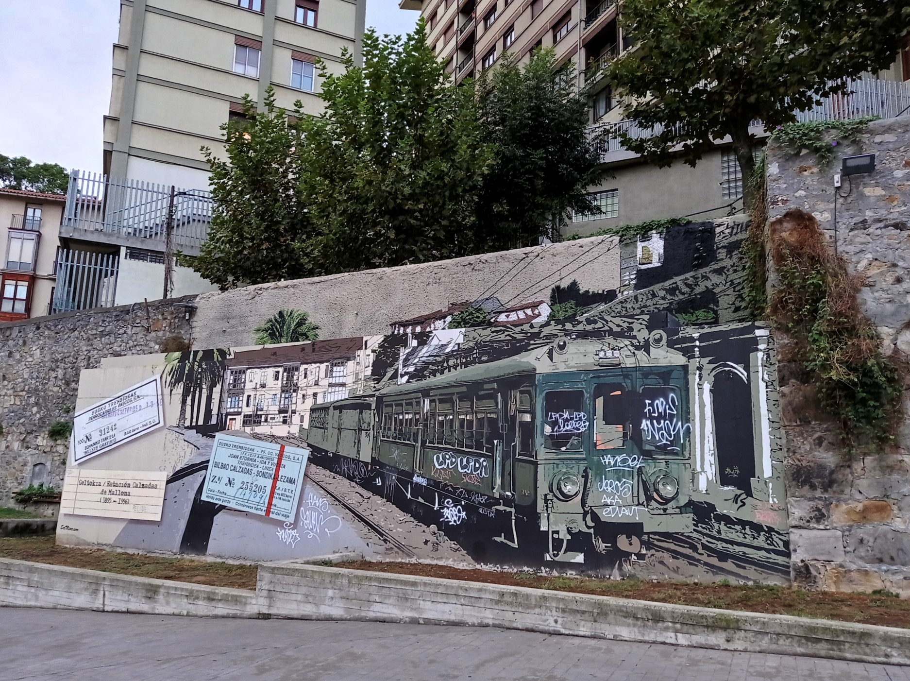
Bilbao
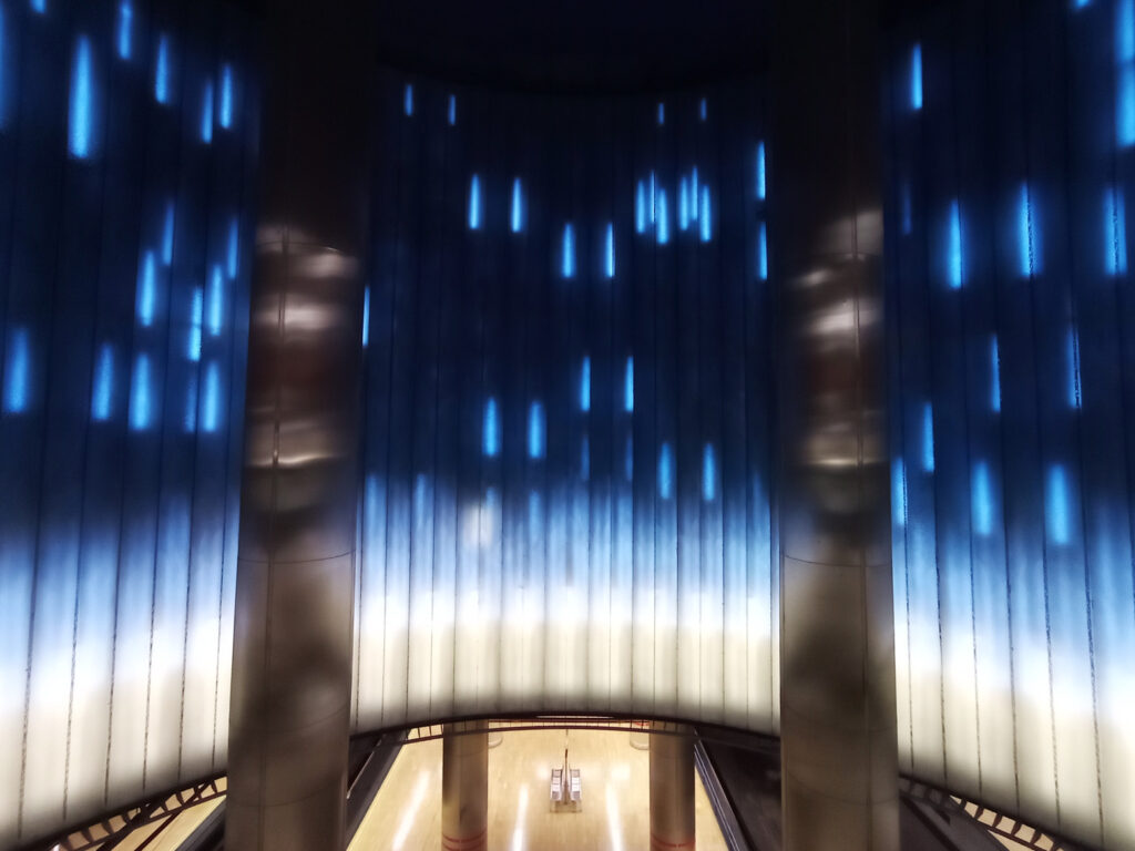
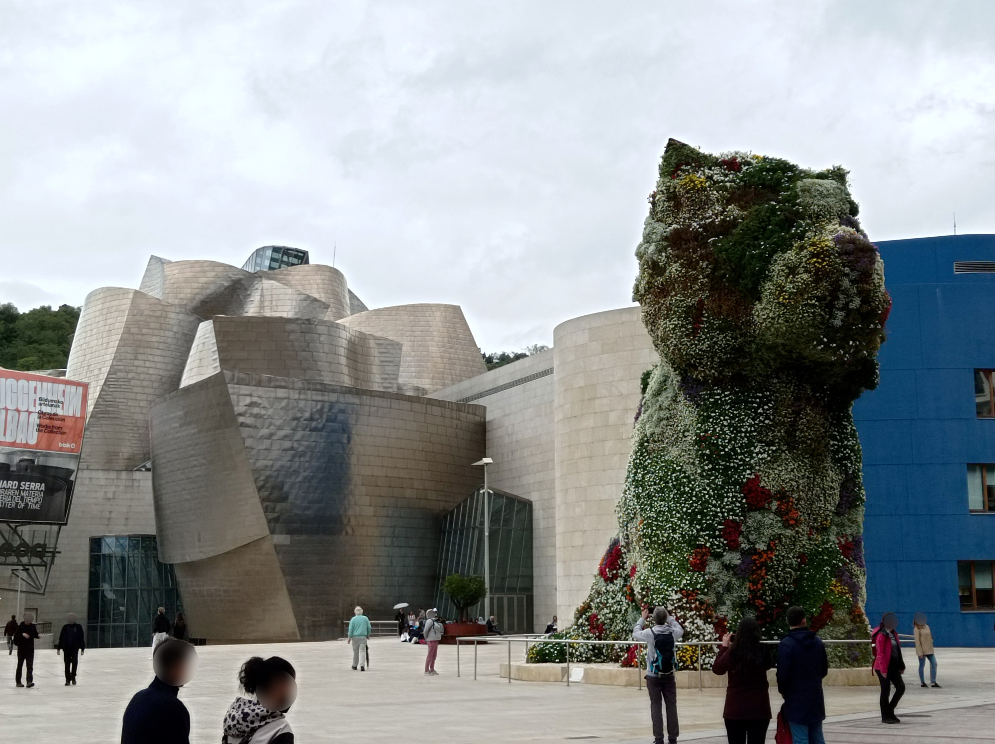
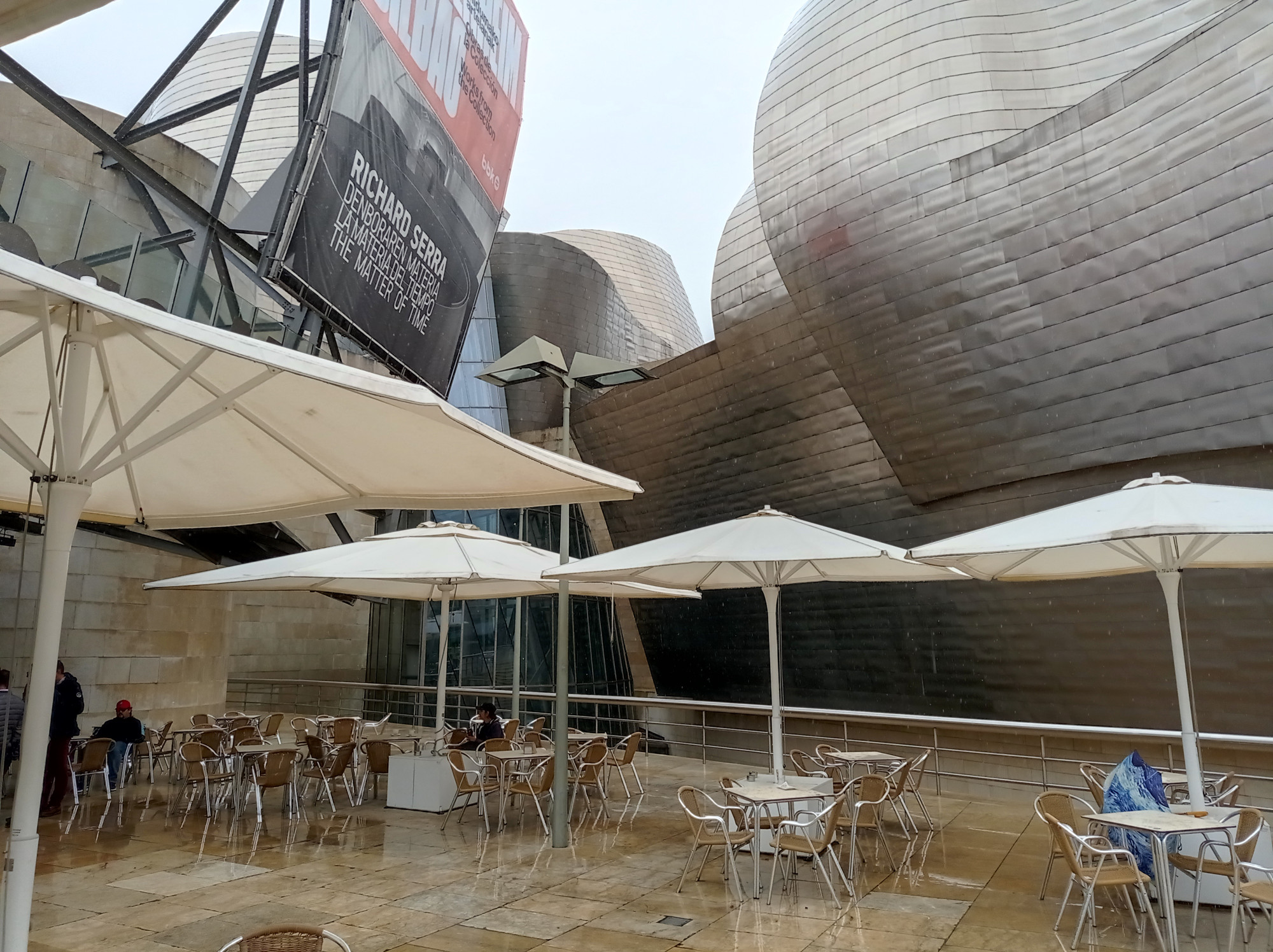
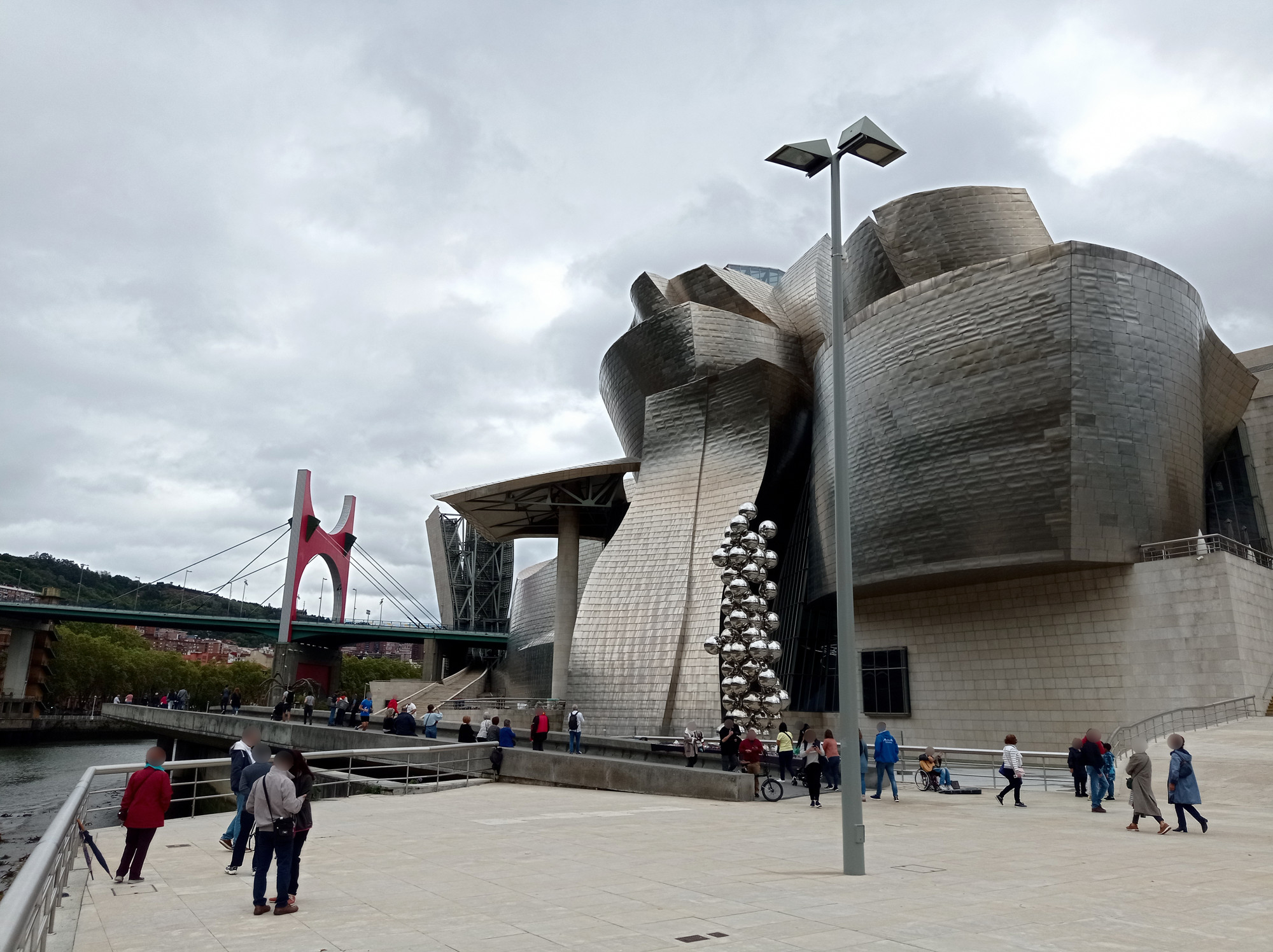
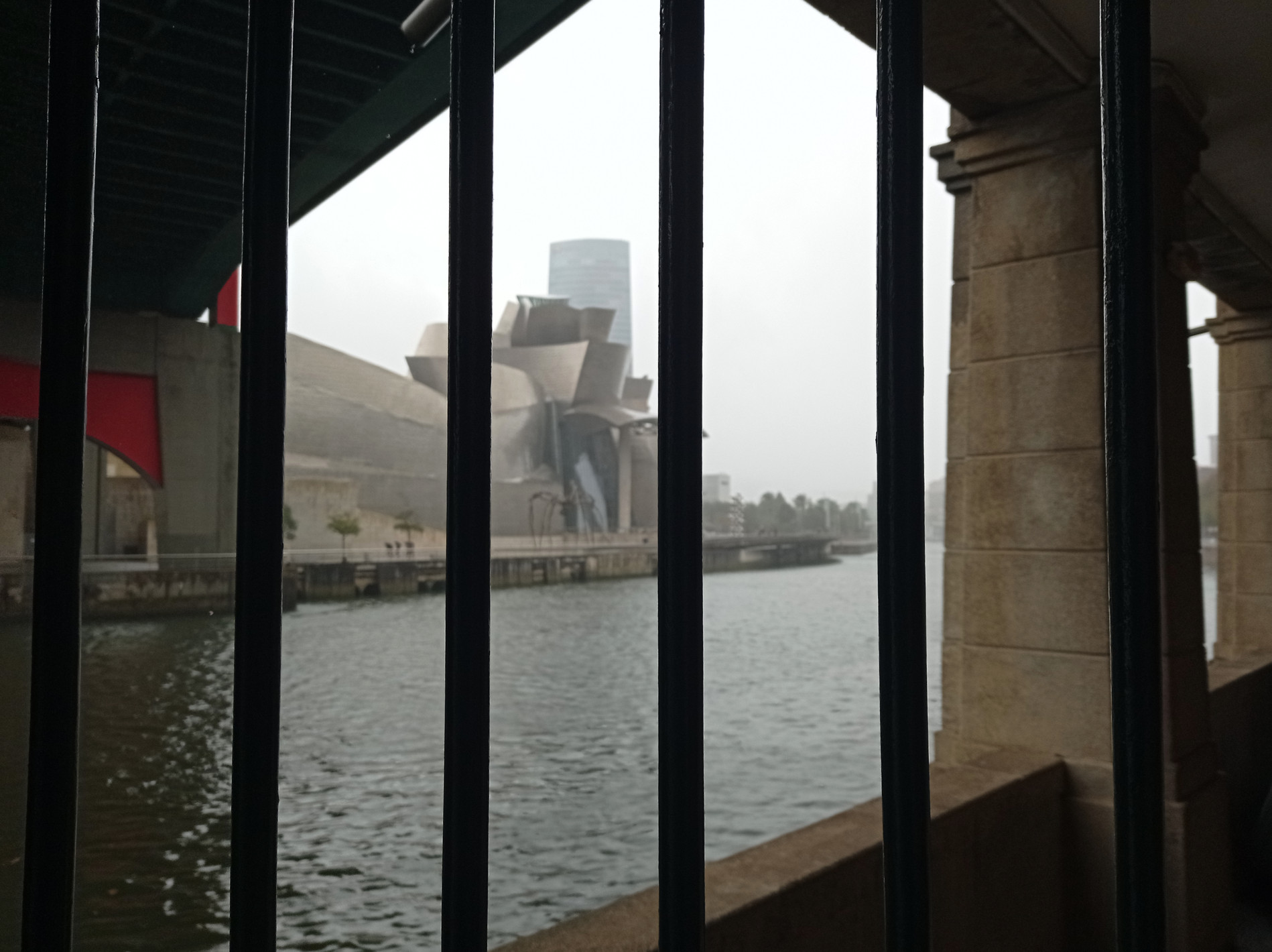
The bad weather on the beaches gave me plenty of opportunity to visit nearby Bilbao, the largest city of Basque Country. The most famous tourist attraction still seems to be the Guggenheim museum. I must have seen hundreds of pictures of it, but I had never noticed some of the details. E.g. how it integrates with the bridge over the Nervión river, or the weird arachnid-inspired sculpture by its side. Here’s my impression inside and around the museum on a rainy day:
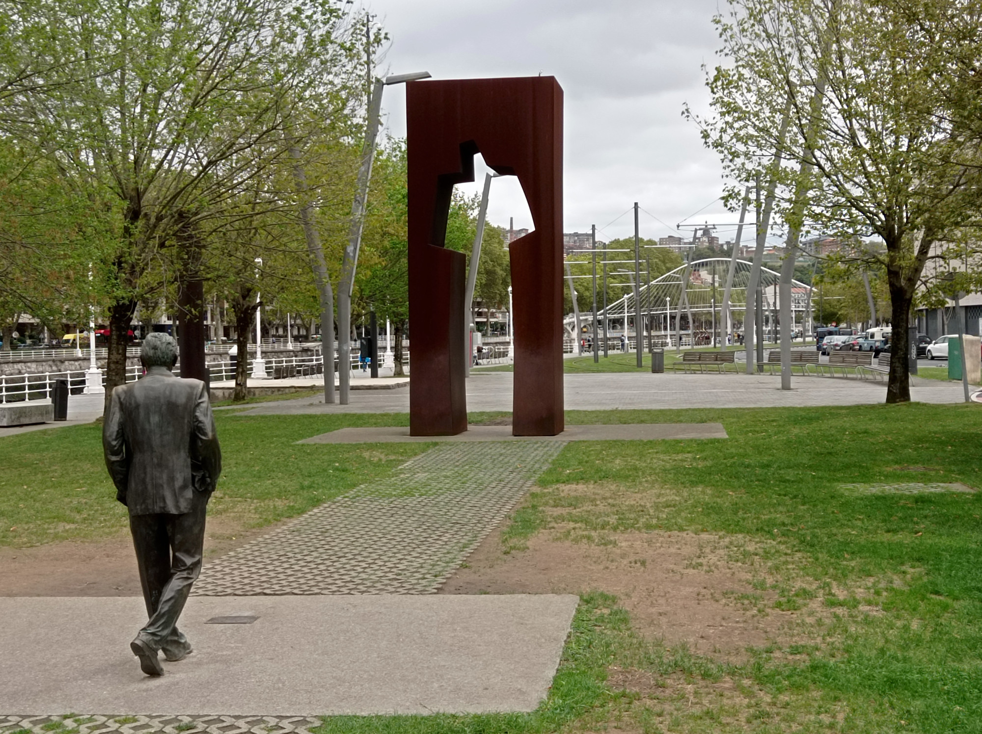
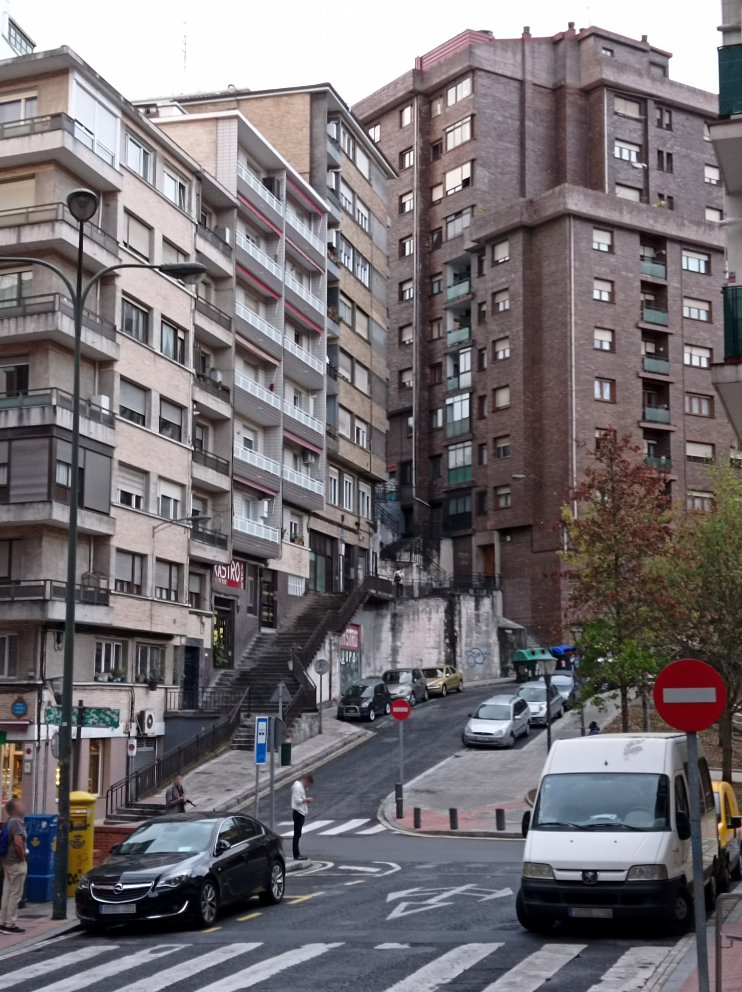
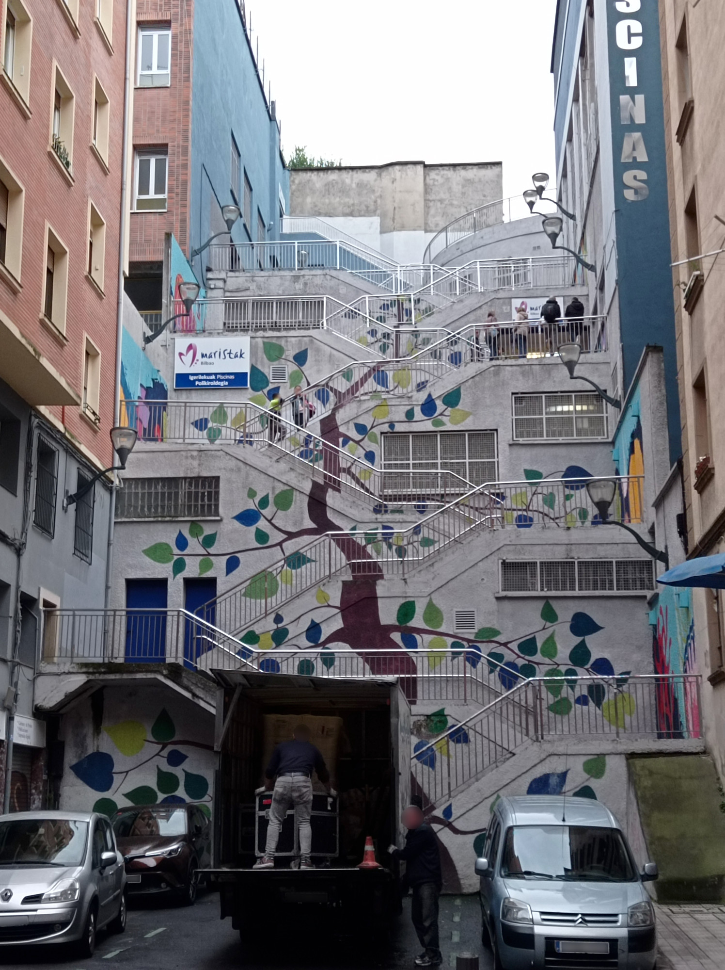
The rest of Bilbao is also quite charming. Am mix of old and new. Even the housing blocks that rise on the the slopes of the river valley have something to them:
I’ve already written way too much about my recent Interrailsurf-trip to Spain and Portugal. So this time let my just dump some photos from the places that I came through. Let’s start with my journey through France…
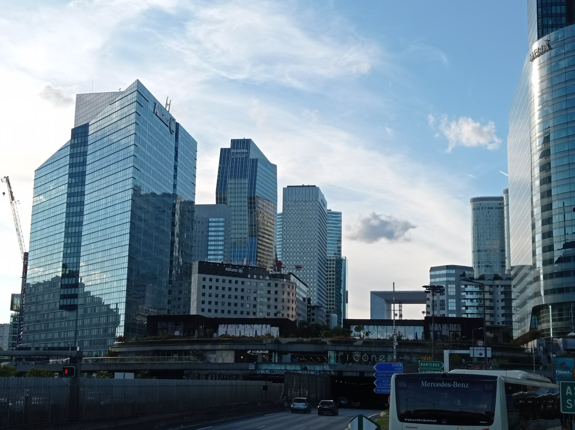
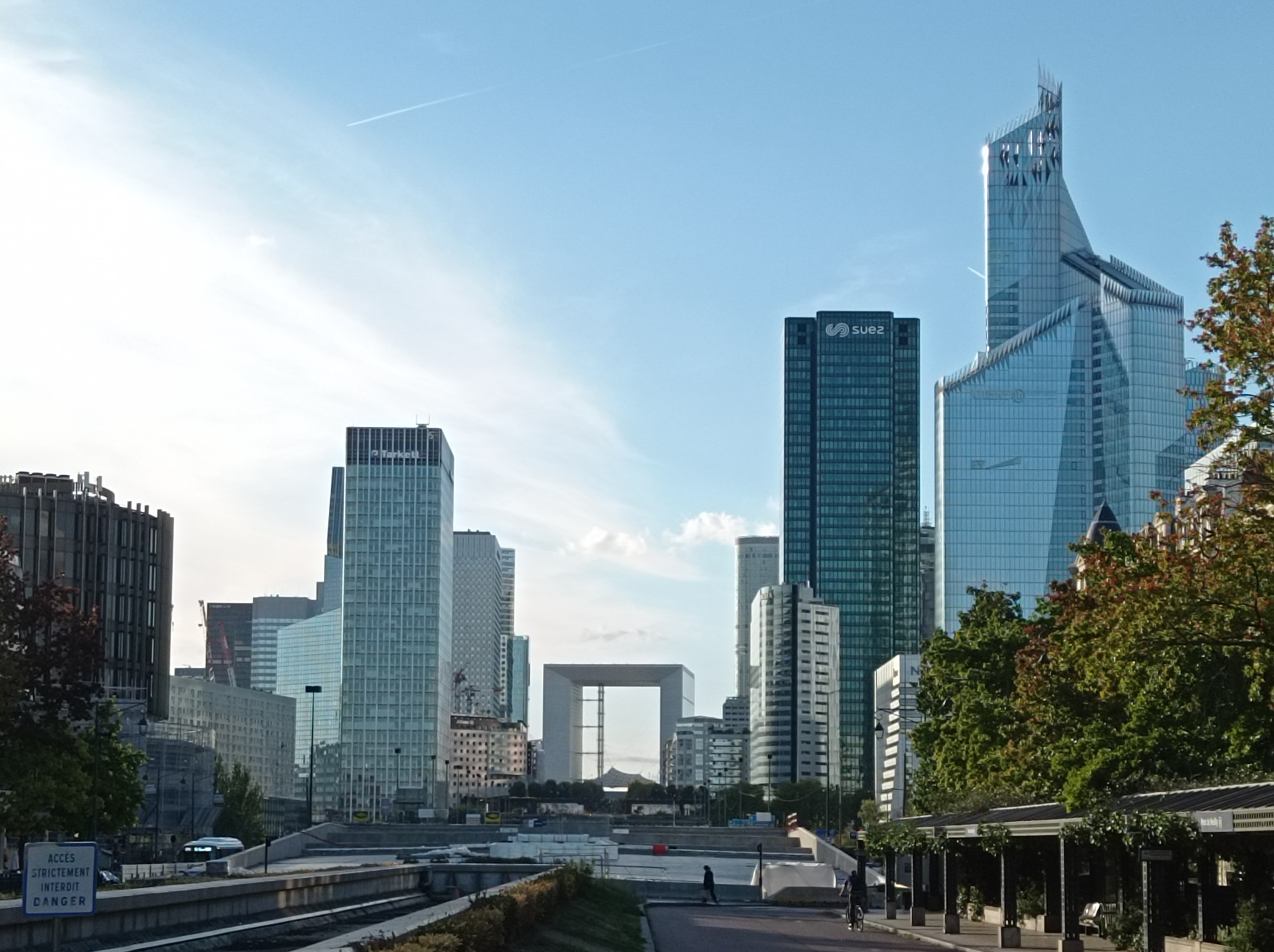
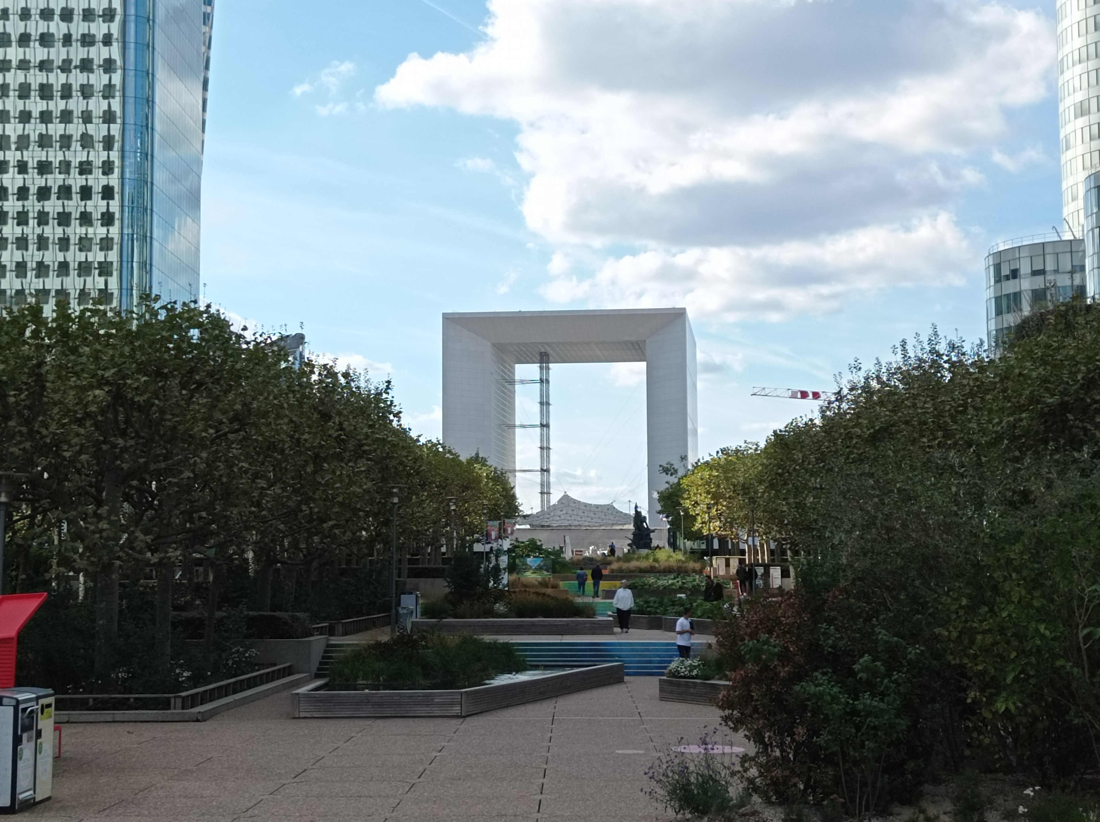
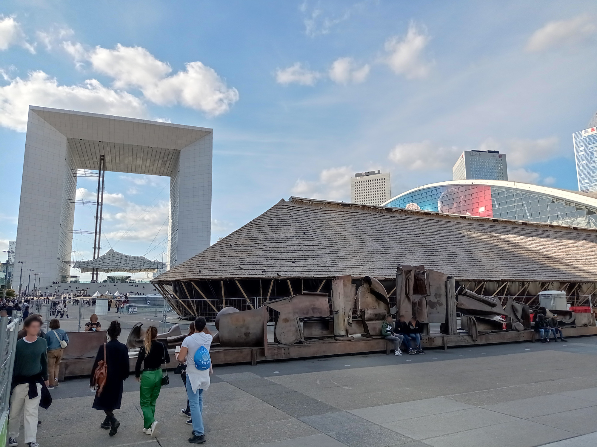
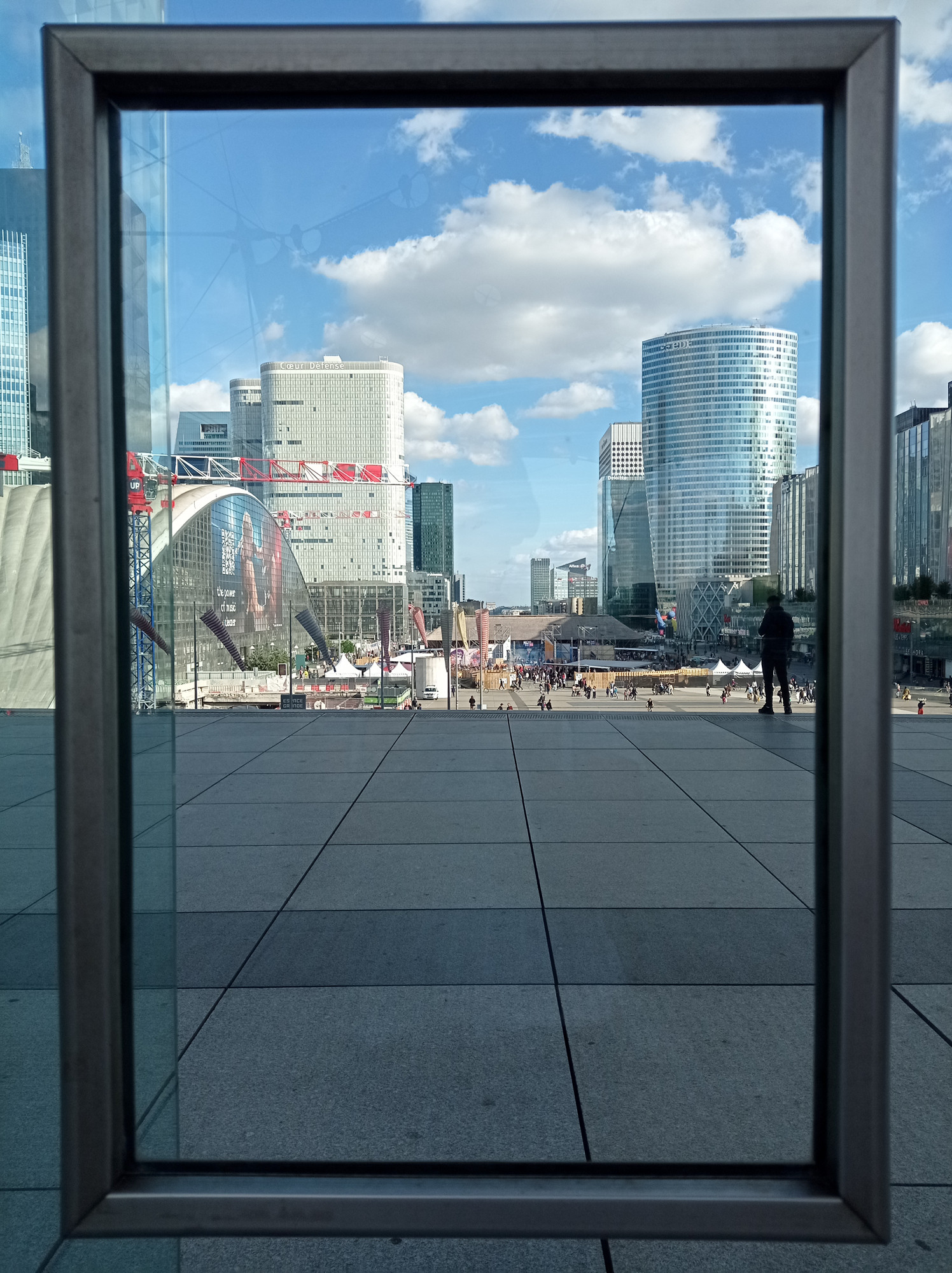
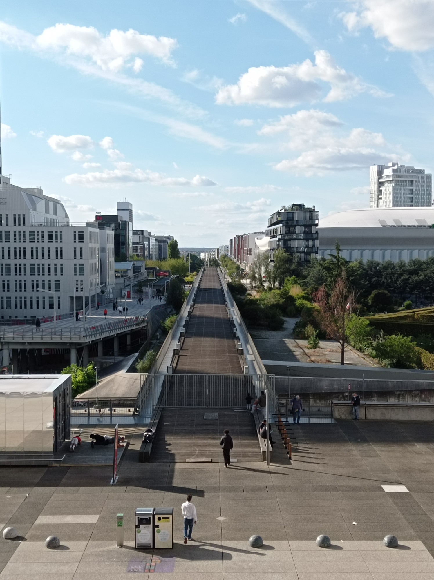
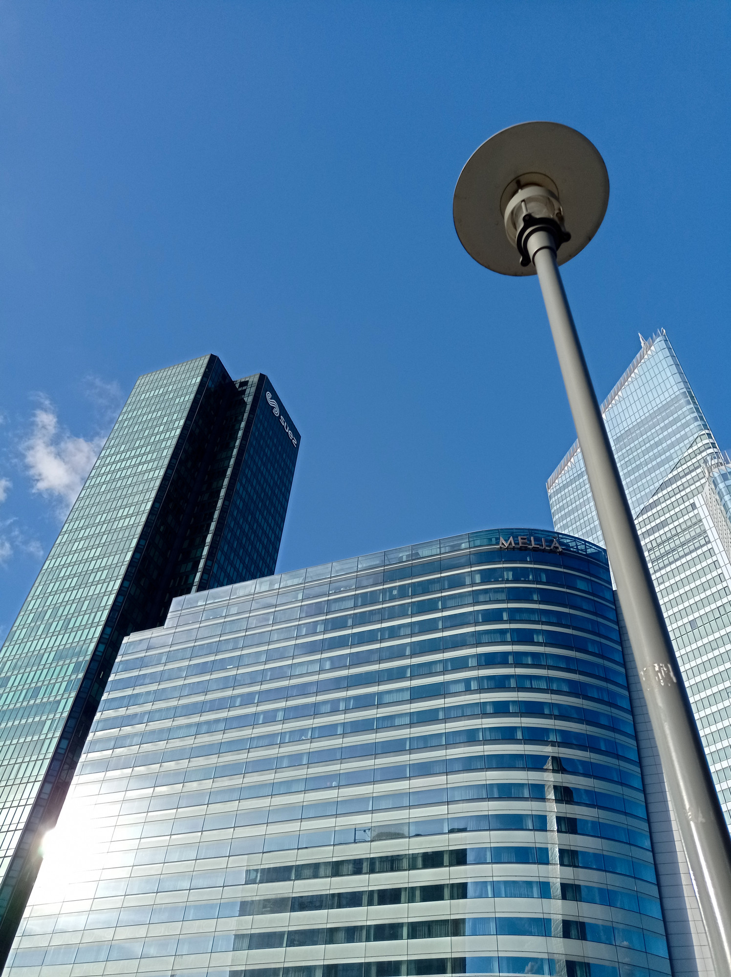
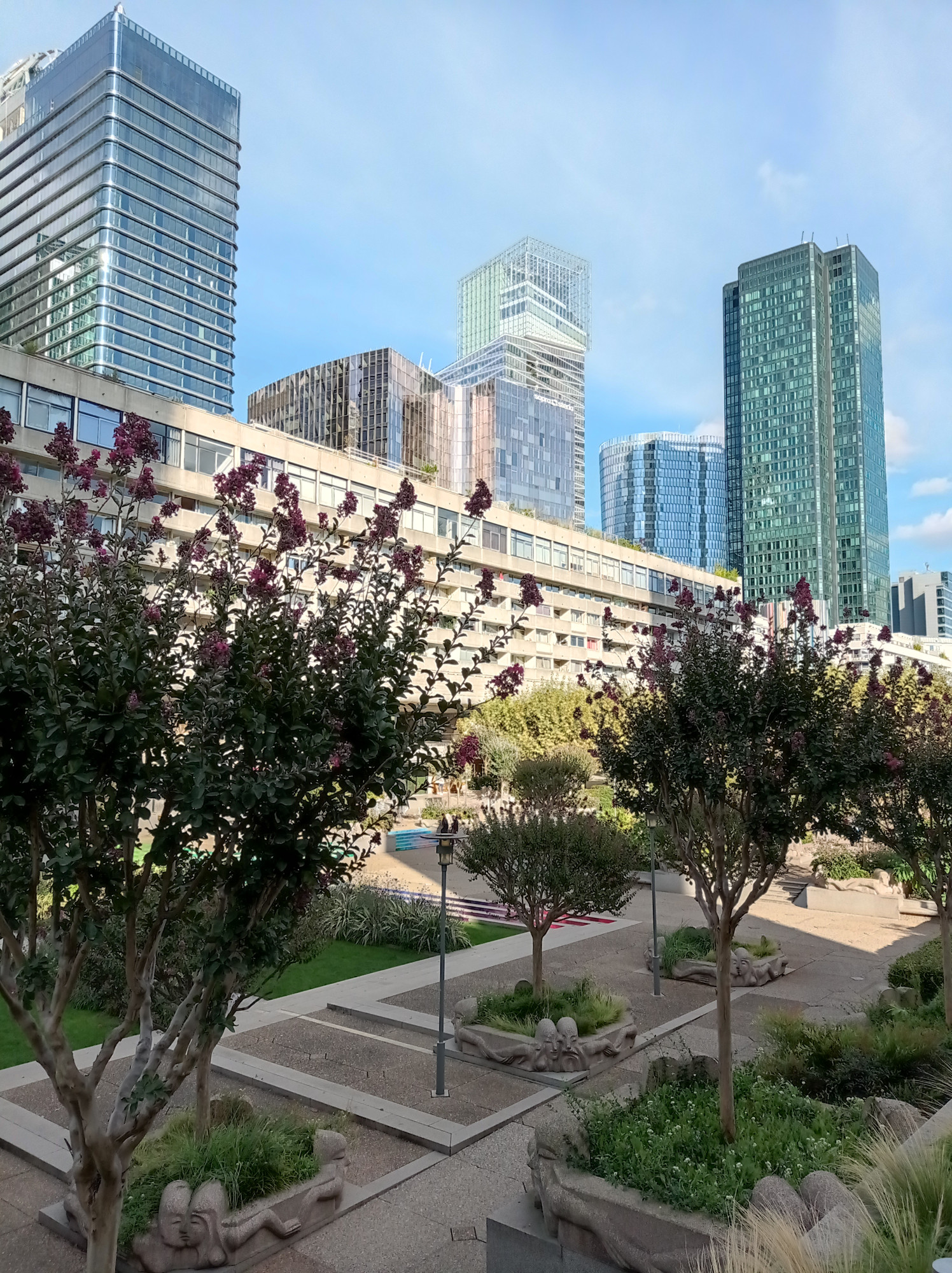
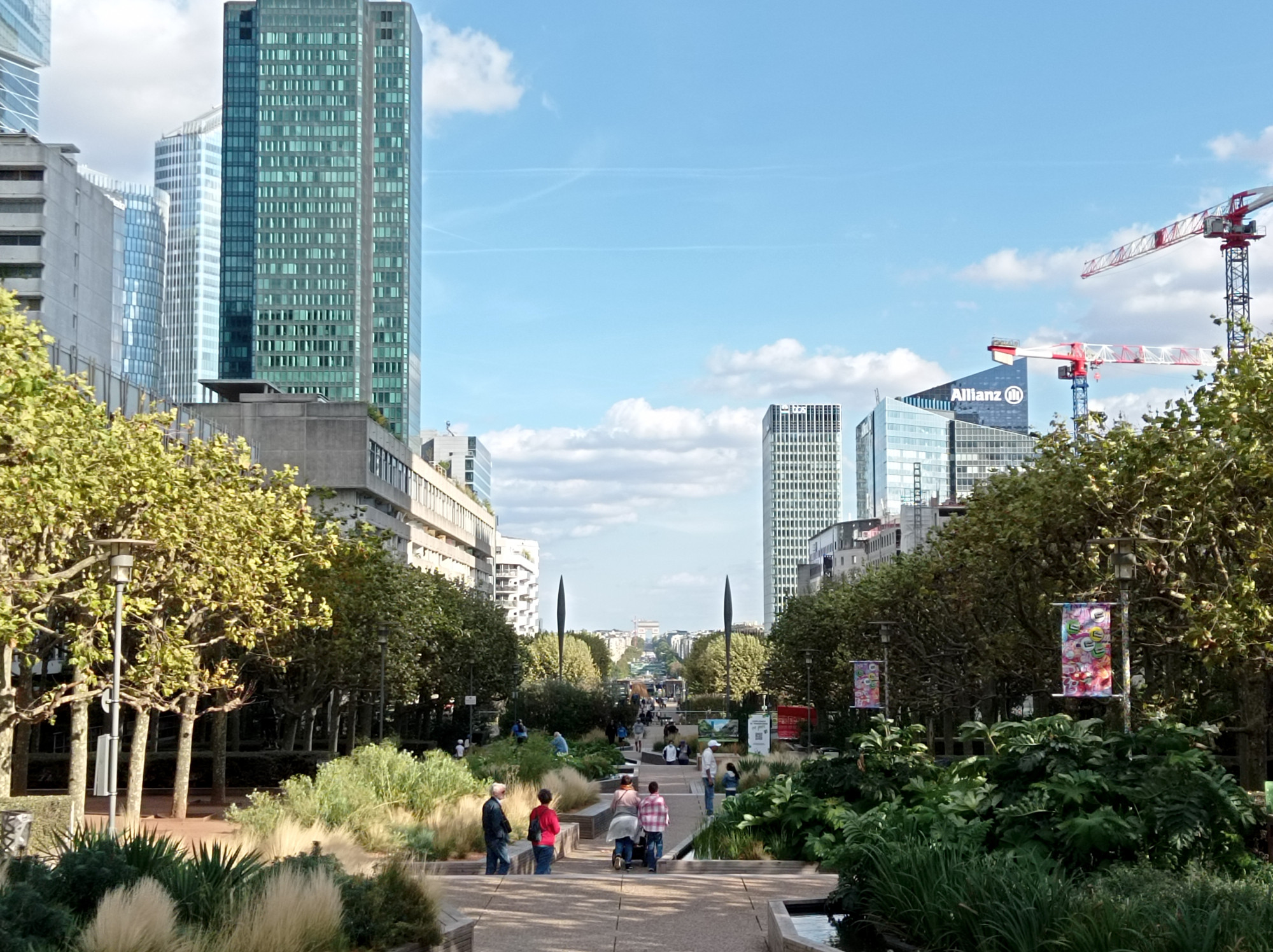
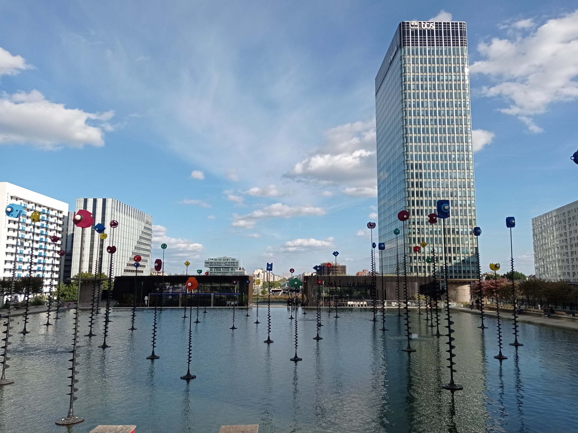
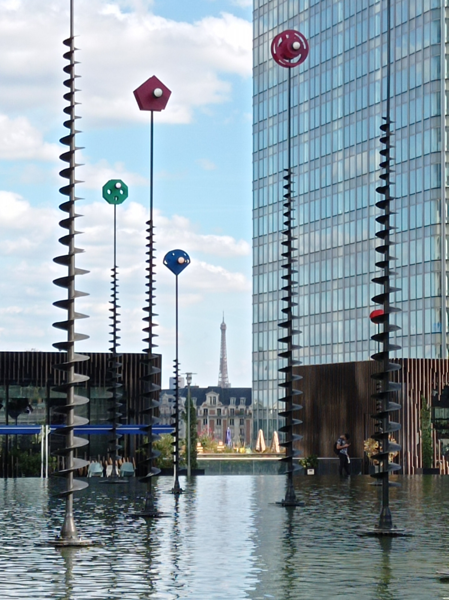
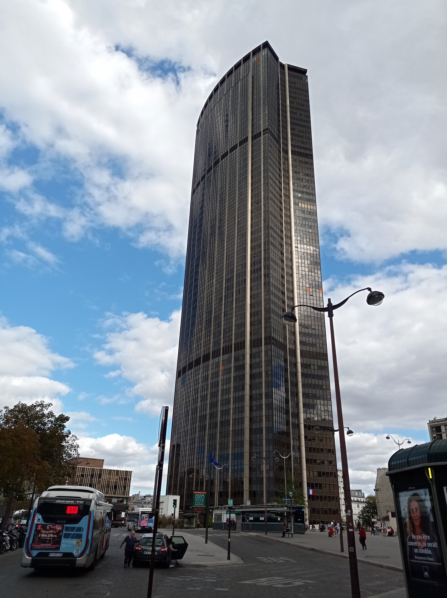
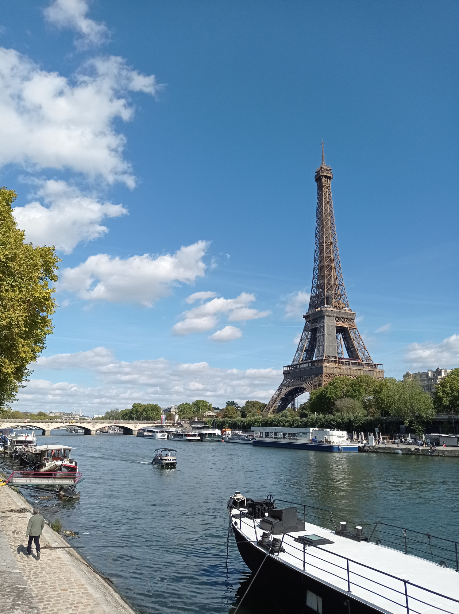
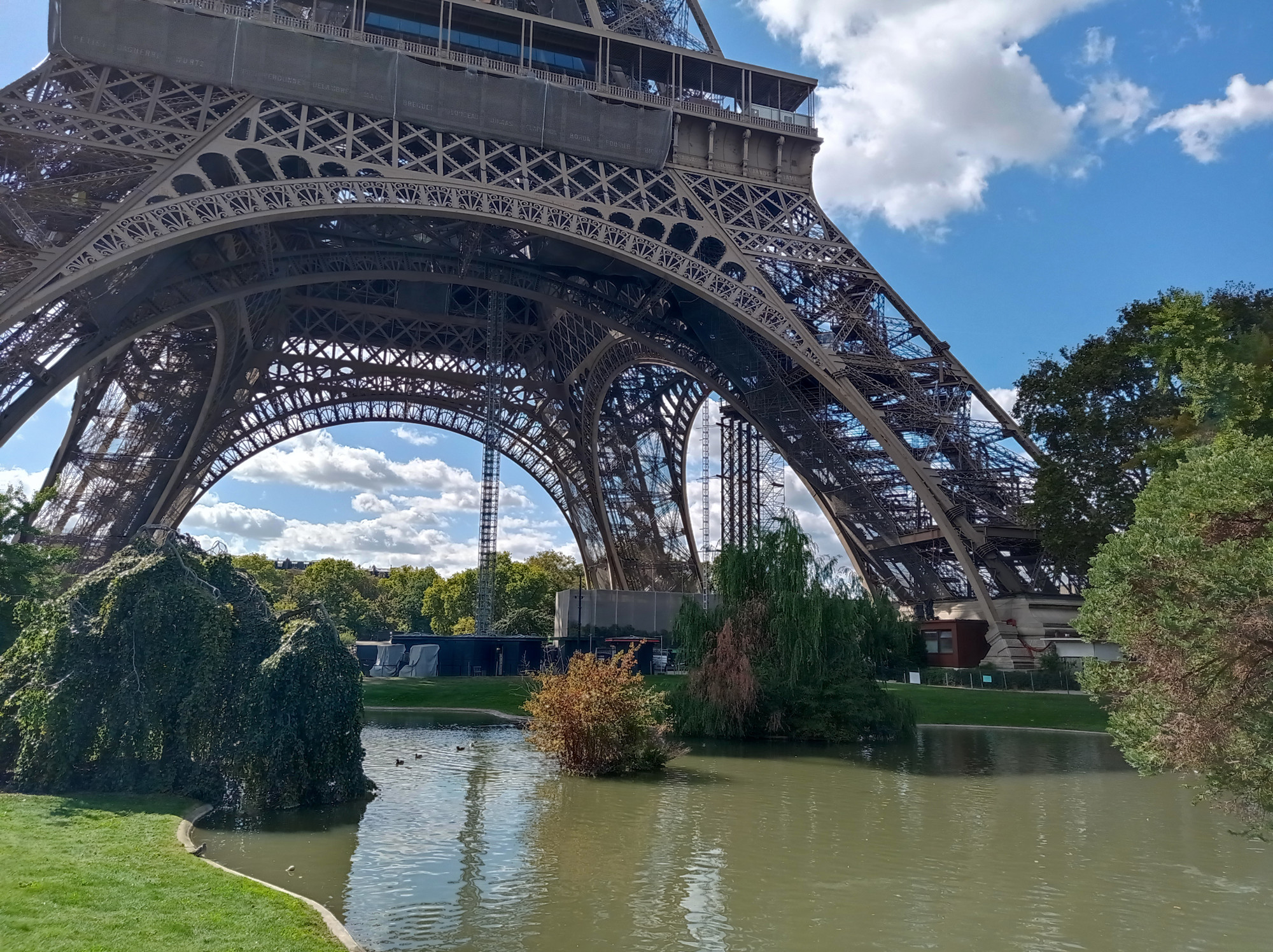
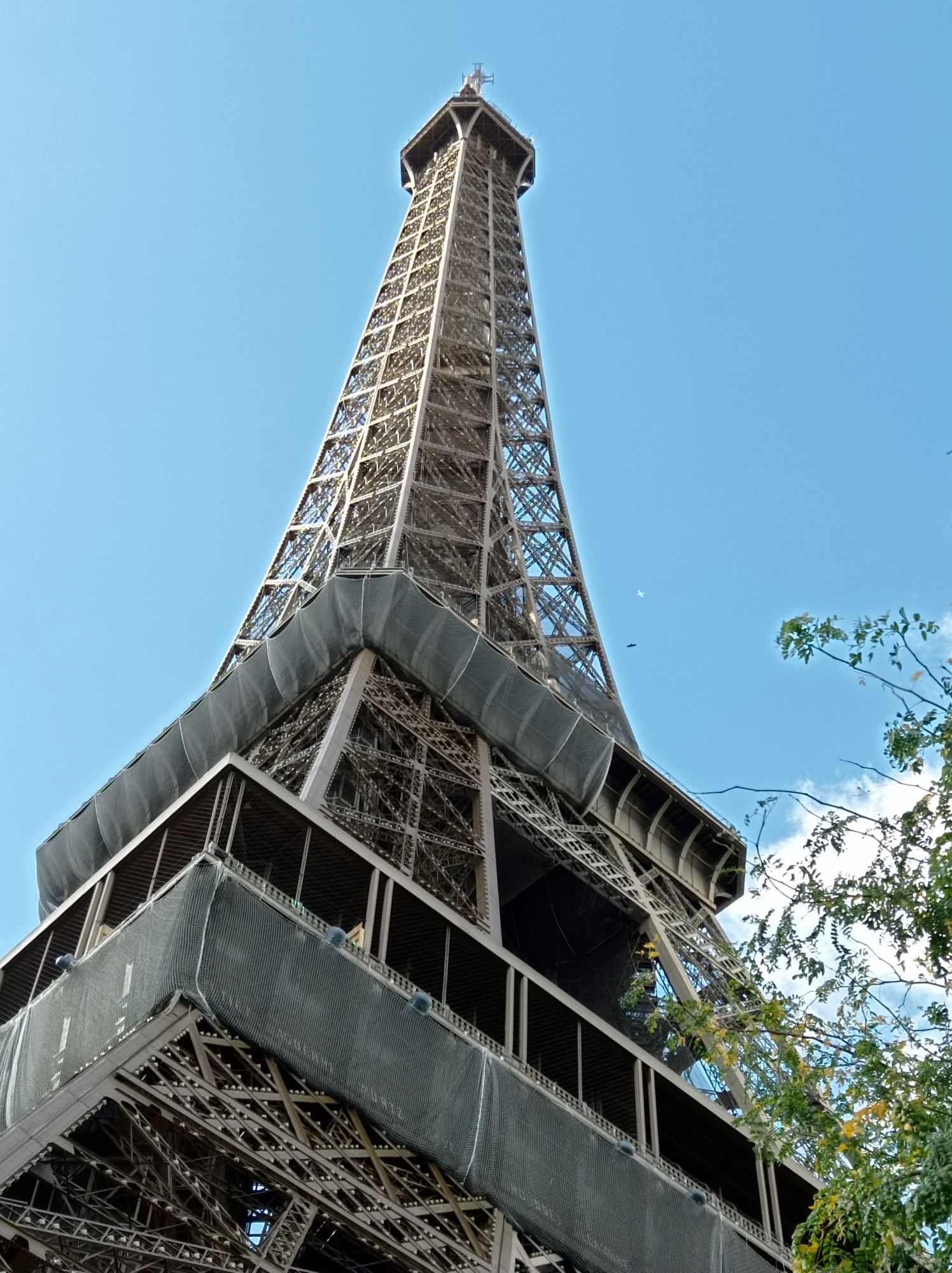
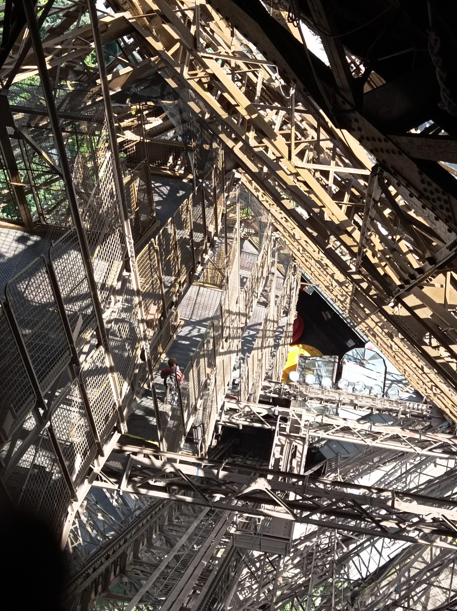
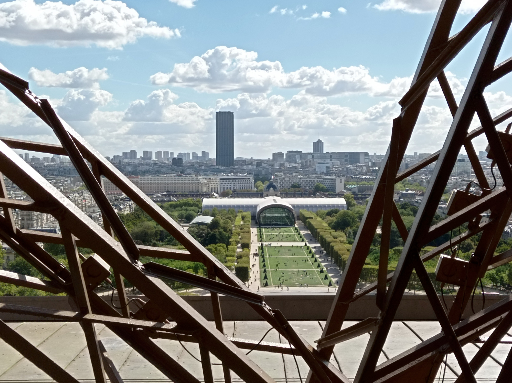
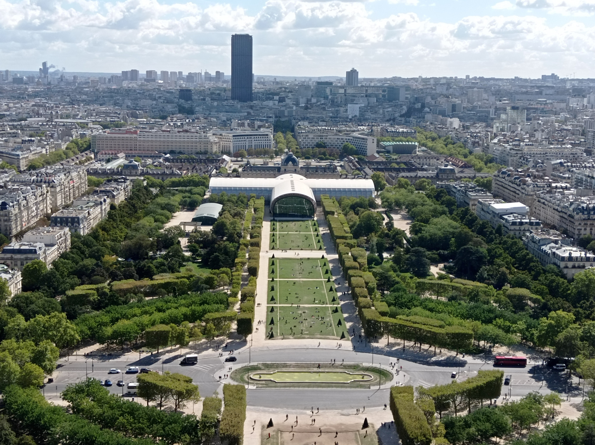
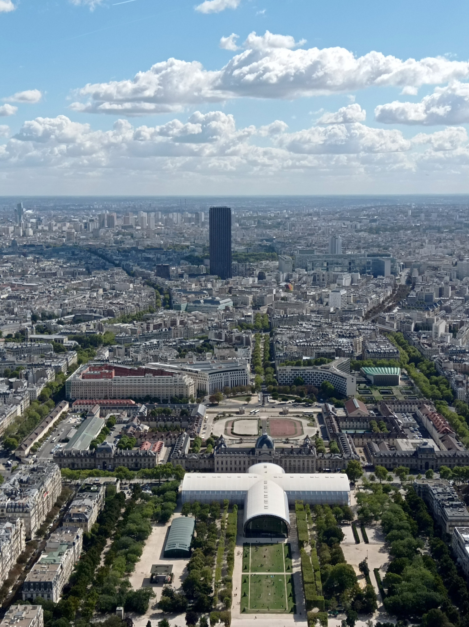
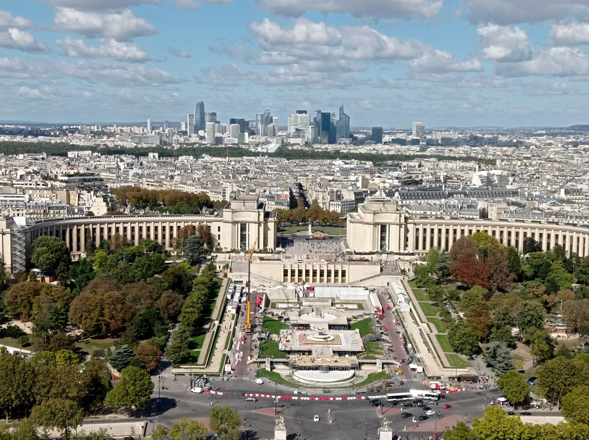
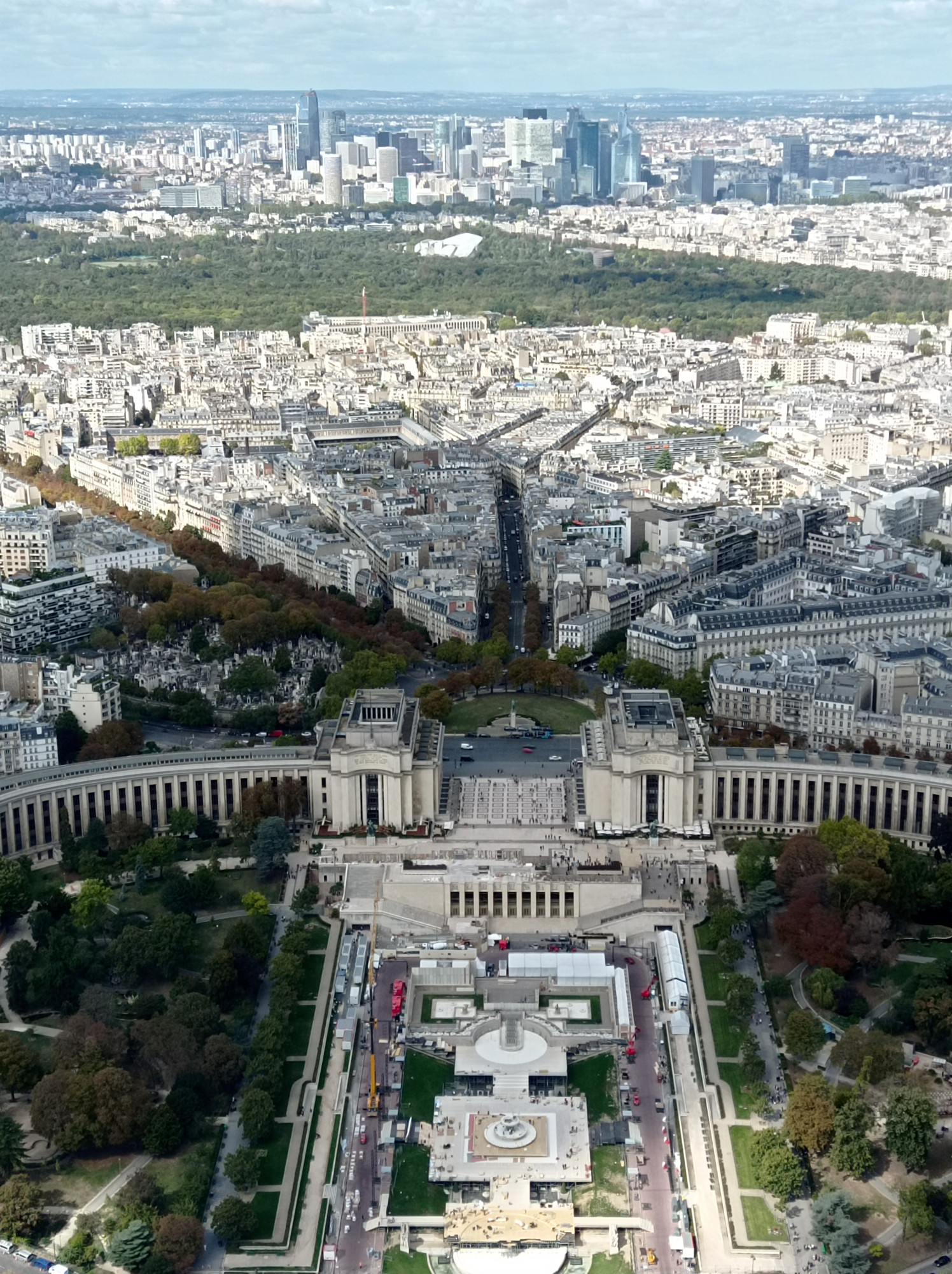
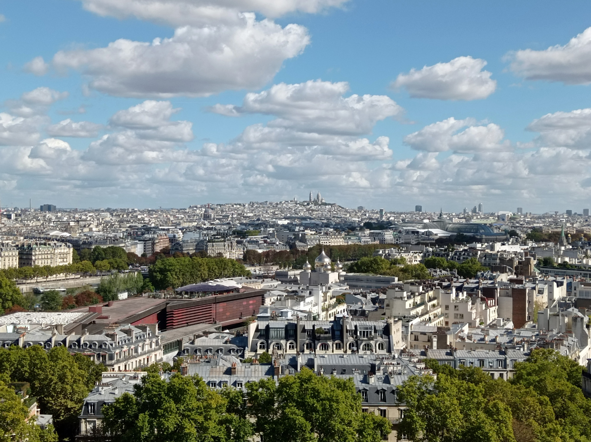
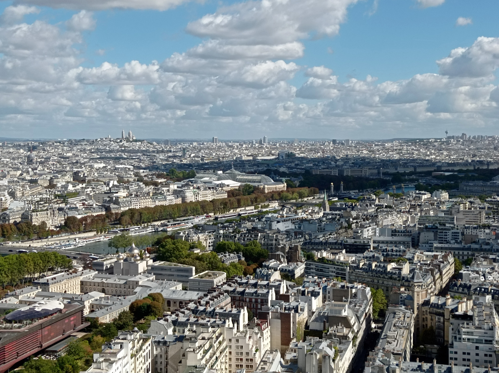
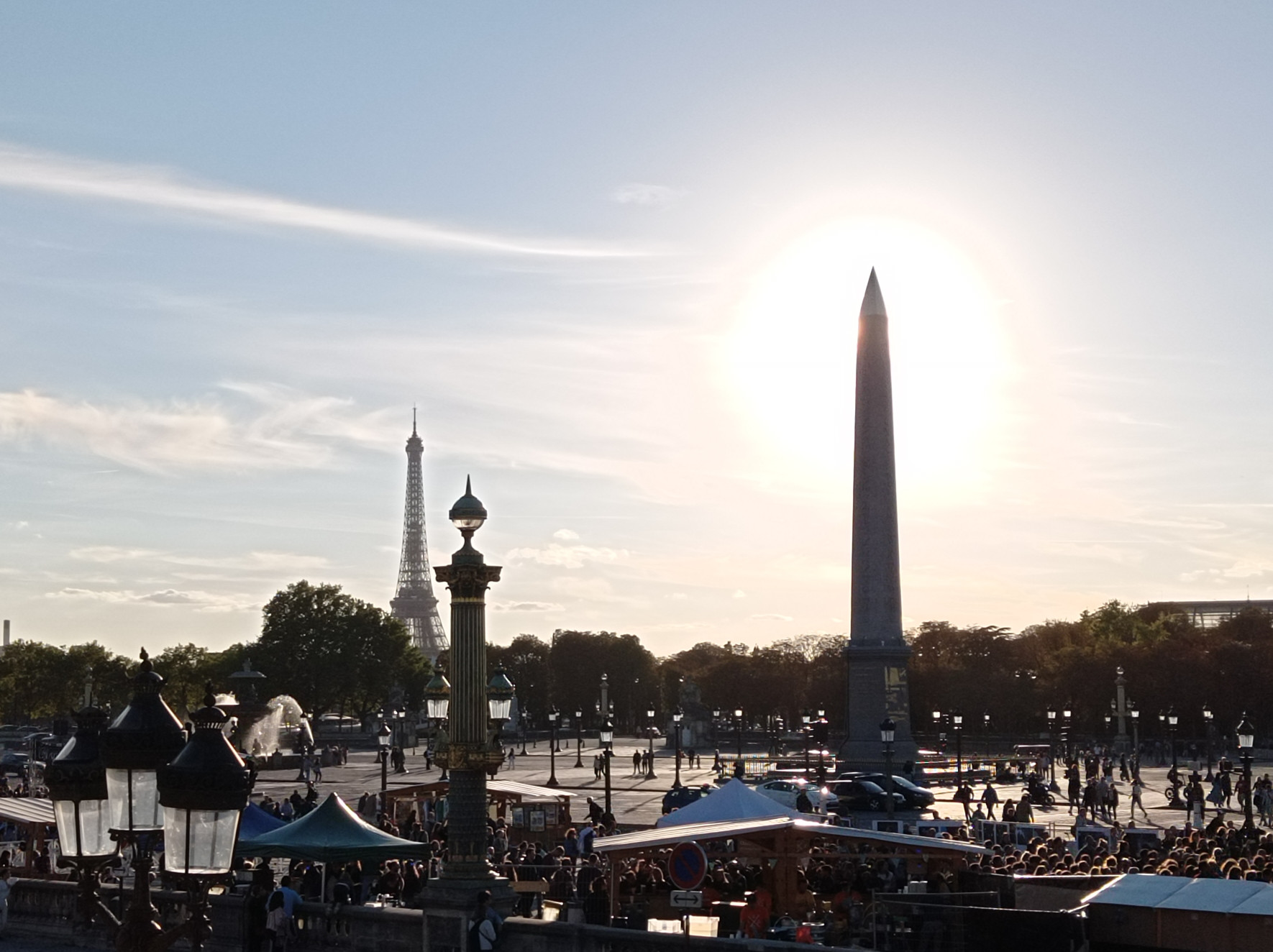
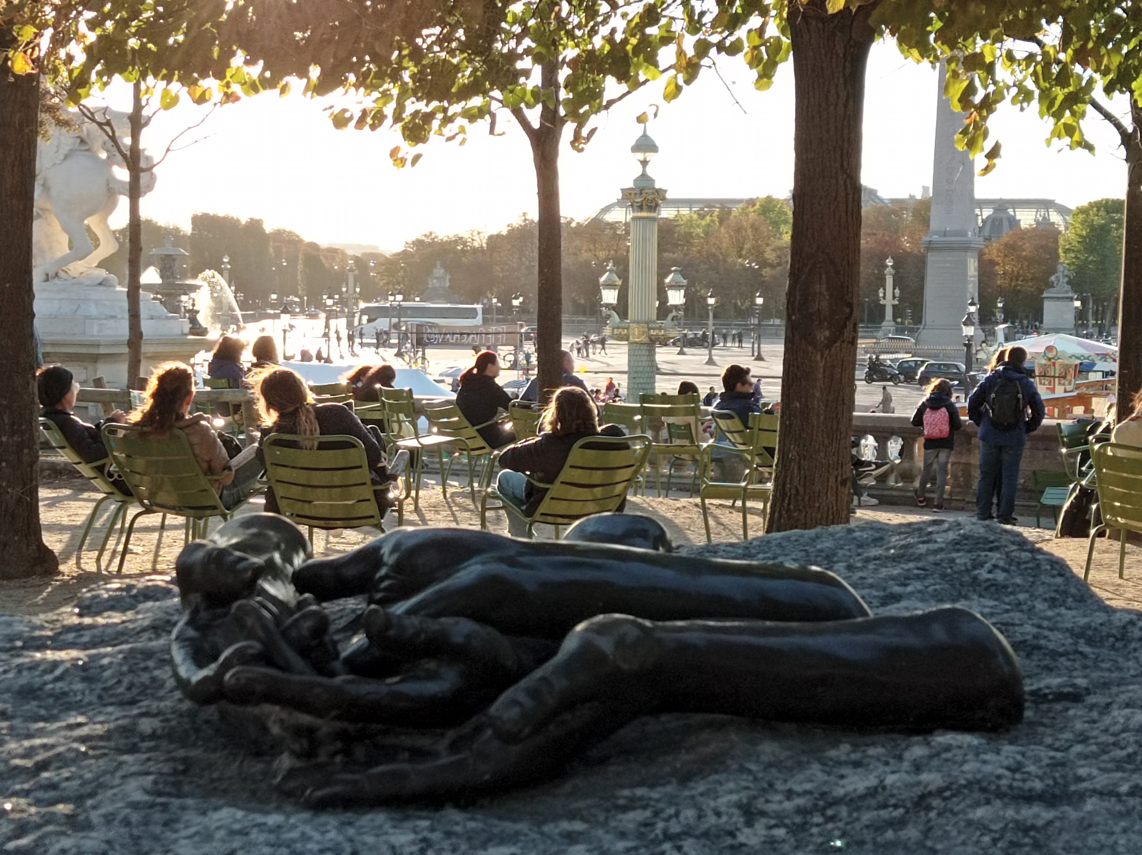
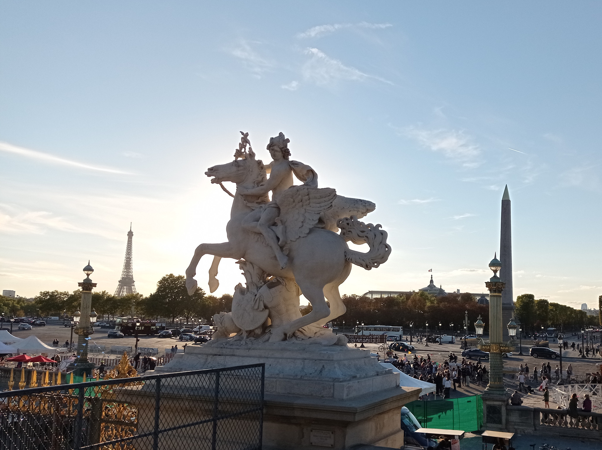
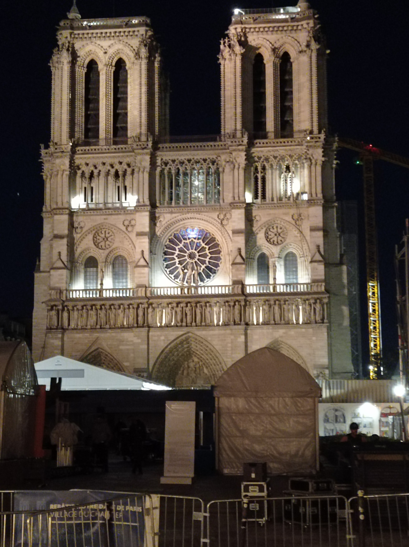
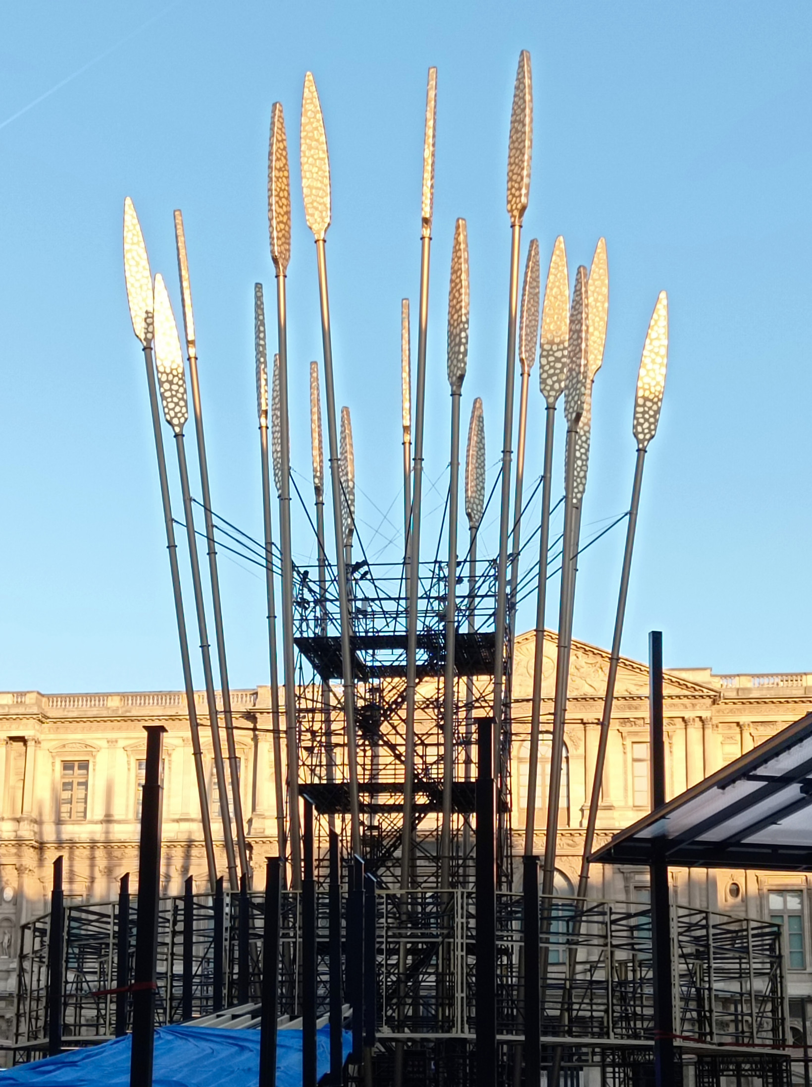
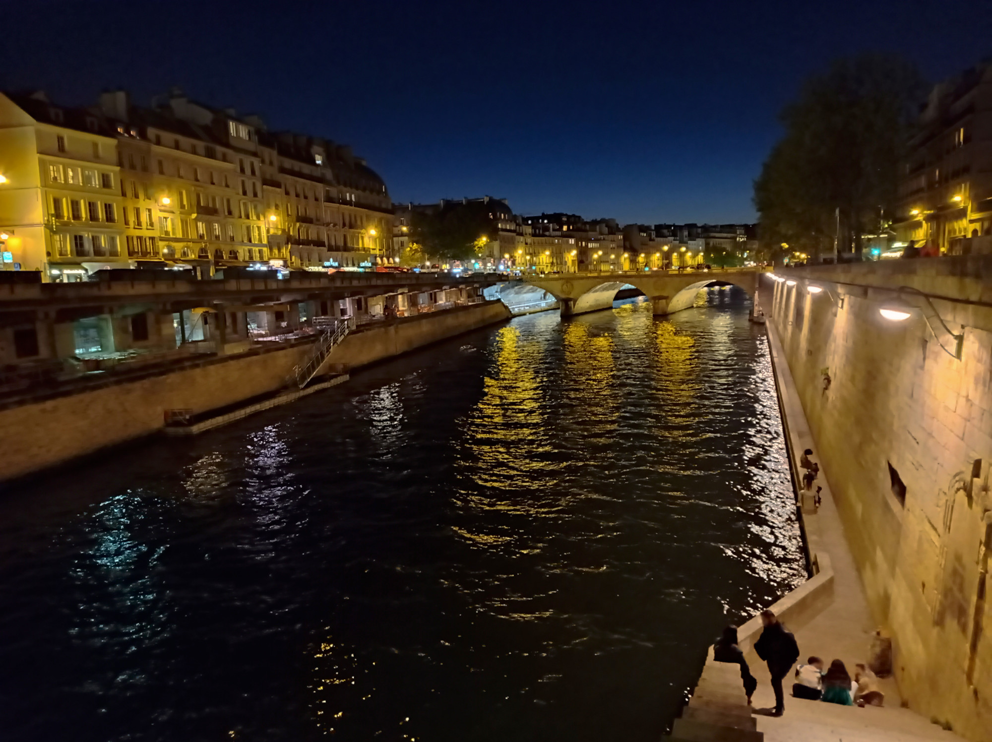
Paris
Two days stop-over. Always liked La Defense and the modern stuff (we don’t have much of this back home in Munich):
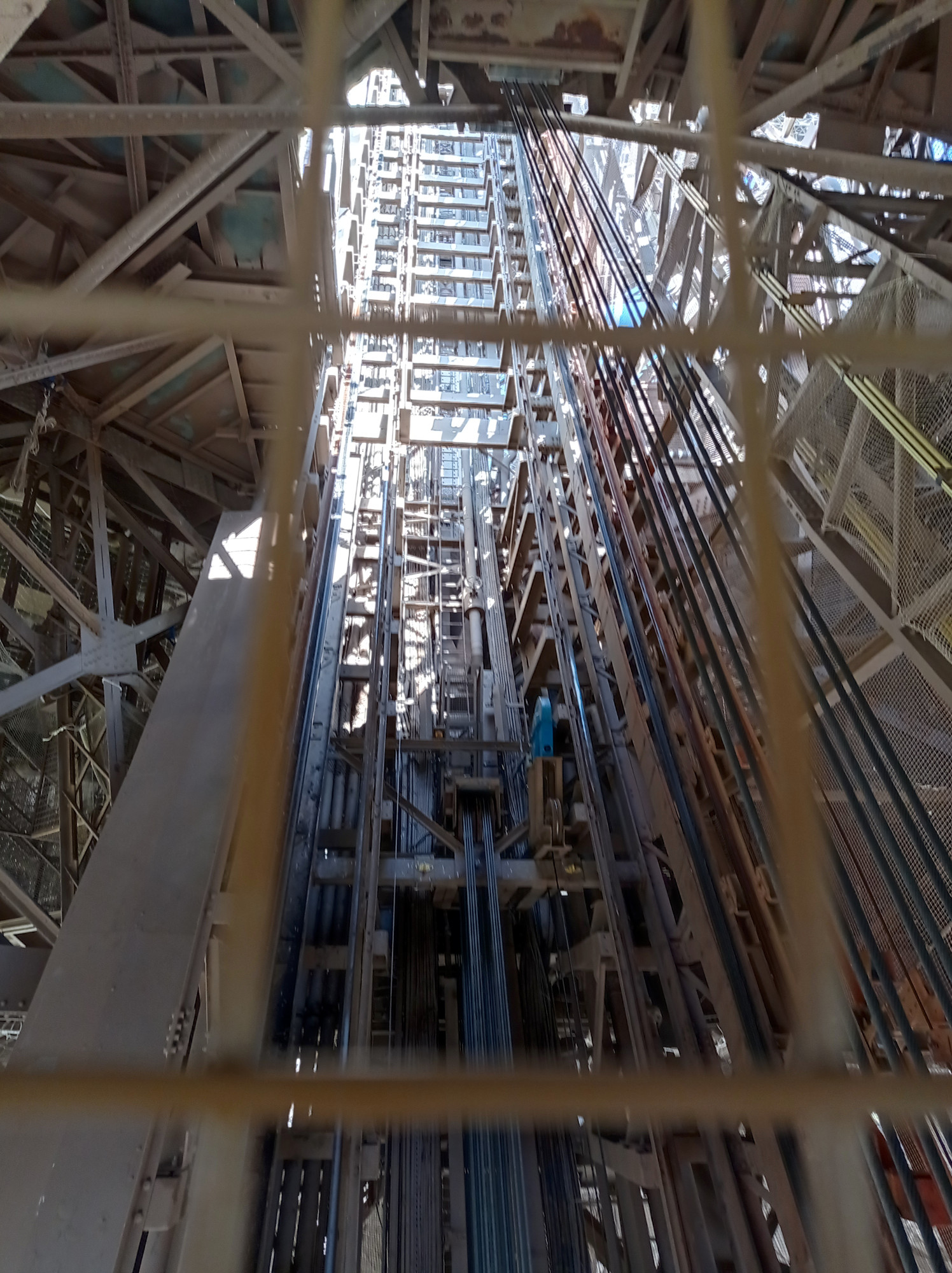
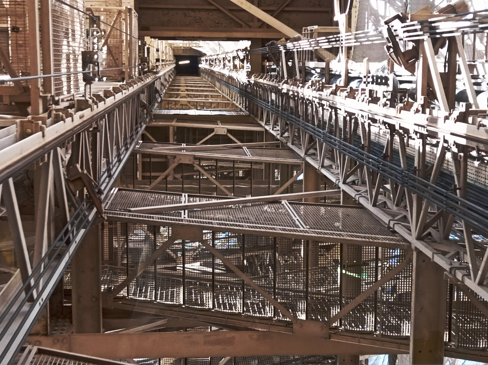
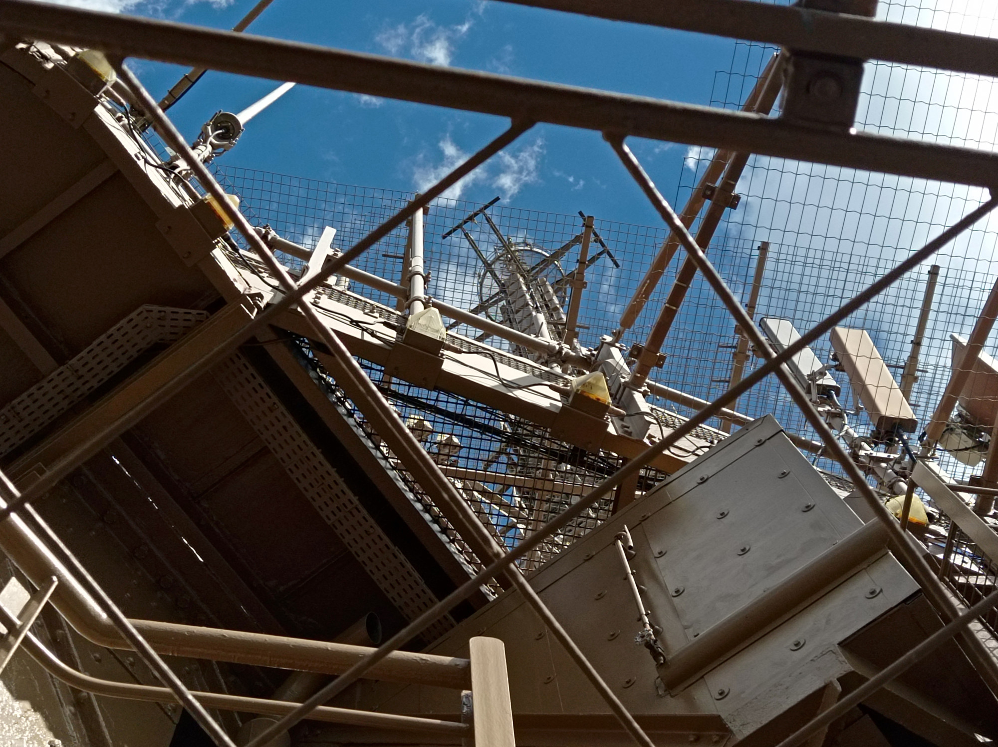
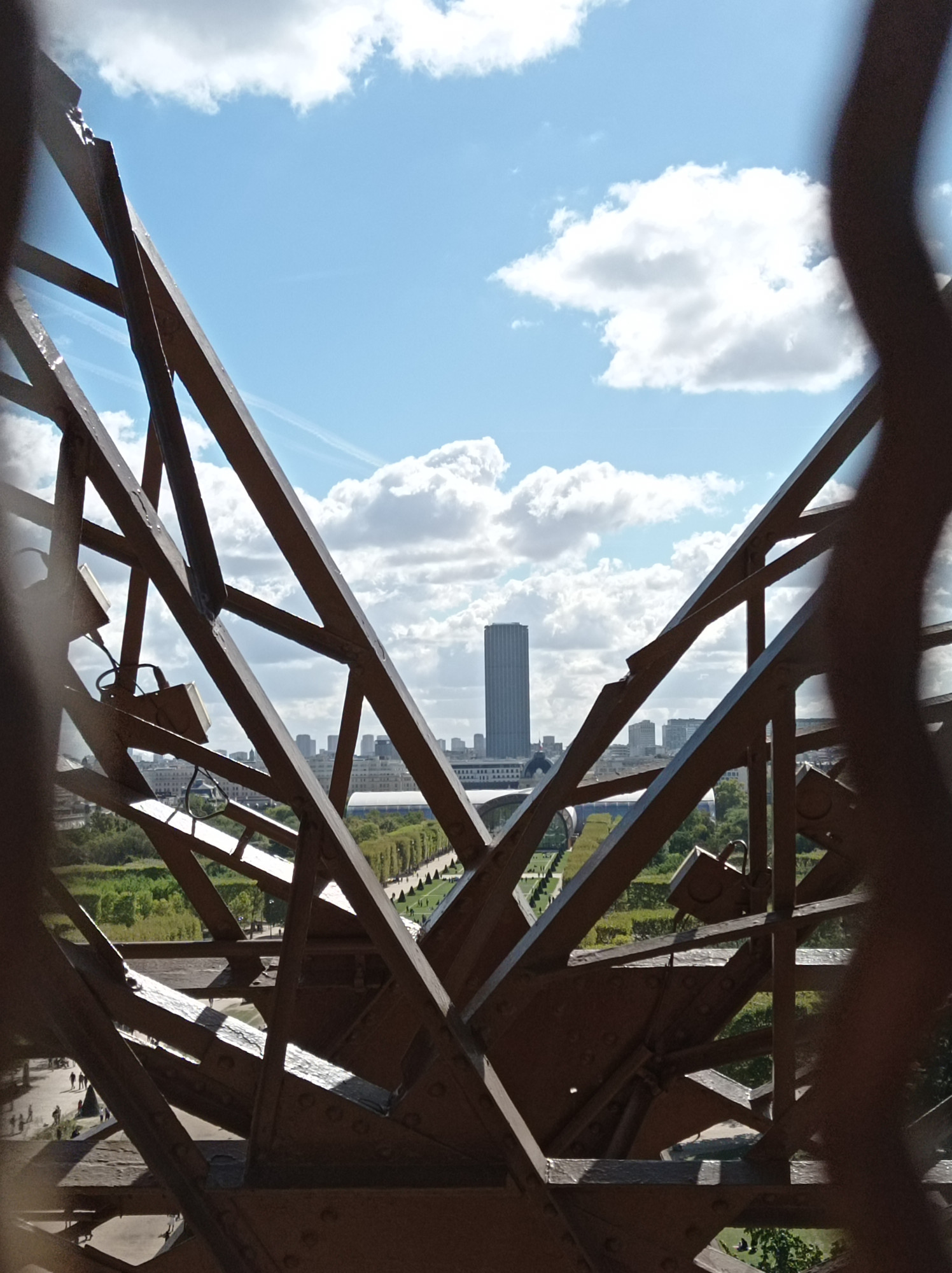
I’ve been to the Eiffel Tower before. But this was the first time I was touristy enough go up and enjoy the views:
Other than that, I was just strolling around enjoying the pleasant fall weather:
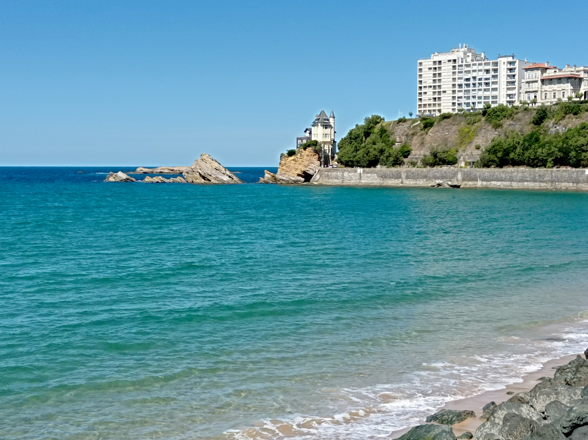
Biarritz
My first stop on the Basque coast. Picturesque town in between the sea and the cliffs. Forgot to take pictures at Grande Plage, so these don’t give a full impression:
They say trains are one of the safest modes of transportation. And while I can think of several horrific train crashes in the past, I generally believe it’s true. But now I’m wondering about all the small things that could go wrong? How common are they?
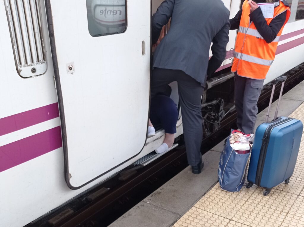
On my last surf-trip, I witnessed this small incident after getting off a Renfe train in A Coruña. Everyone was heading for the exit of the terminal, when suddenly there was some screaming. As I turned around, I saw that someone had got their foot jammed in a retracting footboard. Other passengers tried to alert the railroad staff, but it took a while till they arrived at the scene.
Since I still speak zero Spanish, so I figured that there was not much I could do. So I decided to document the situation instead:
When you look beneath the conductor in the suit, you’ll see these two feet in white slippers. And one of them is stuck between the wagon and the footboard, which is trying to tilt 90° upwards. You cannot see much of the trapped woman herself. Somehow she managed to fall backward into the into the train, leaving her foot at an awkward angle. It did look quite painful.
By now all other passengers had moved on and it was clear that the railroad crew didn’t know how to deal with the situation either. I was thinking that it might be a good idea to lift the accident victim over to the outside before trying to pull her foot out. But she looked fairly heavy and I feared that it could make her situation even worse. Besides I couldn’t communicate with anyone in Spanish (and I figured now was not the time to distract them with English).
The conductor and me tried to put our own weight on the footboard, but it didn’t move a bit. Next the conductor tried to grab the foot by the heel and yank it out. I joined in and started pulling by the toes. I was really worried we could twist her ankle, but I didn’t hear any screams. And slowly the stuck foot started moving and we got it loose after a few seconds.
The footboard immediately continued tilting upwards. Still putting weight on it, me and the conductor almost got our own feet stuck. But we managed to get out in time. The women looked shocked, but after a short while she could get up again. Looked like she could also walk normally. She didn’t look too pissed either.
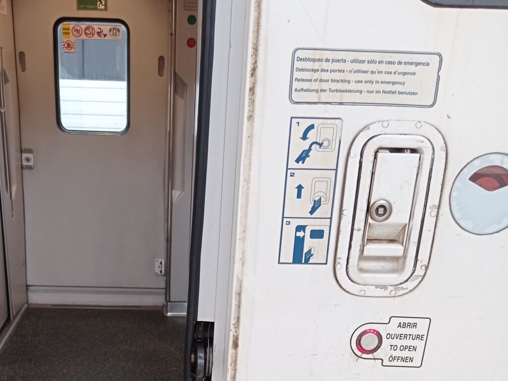
In hindsight I wonder, if the emergency door release would also release the footboard? The release lever was right next to the door, but I hadn’t noticed it in time:
The railroad staff hadn’t made any attempt to use it either. So maybe it’s really just for the door?
I’m still baffled that the footboard didn’t have any safety-mechanism built in. Shouldn’t the retraction mechanism back off when it detects resistance? I’d sure expect automatic doors to back off, so why not the footstep?
I also wonder how other trains deal with this? I think the footboards of most ICE trains at home do not tilt, but rather slide. I guess they could still squeeze your foot against the platform, but you’d really have to be in the wrong place to allow this to happen. Gotta be more careful around trains, I guess!
I wanted to avoid flying during my surf-trip to Iberia, so I only used trains and buses instead. My trip took me from my home in Germany through France, Spain, Portugal, and back. Altogether this went really well. I was impressed by the punctuality and comfort of French TGVs and Spanish Renfe long-distance trains. In contrast, most German trains that I’ve used recently, were running late or even broke down along the way. Case in point: the first leg of my journey, a night train from Munich to Paris, was scheduled for 0:04 am, but had more than 2h of delay!
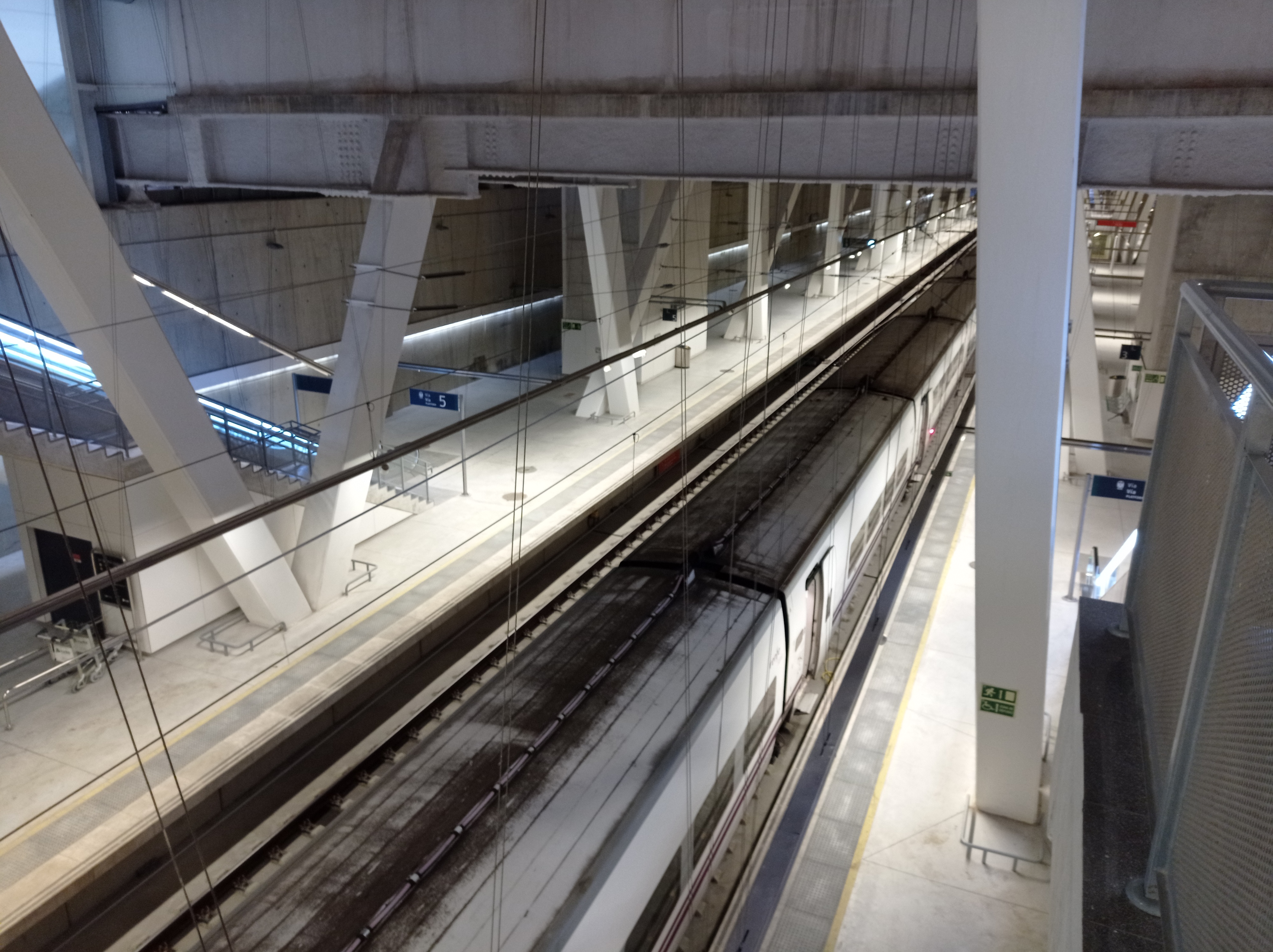
This brand new train-station in Vigo (es) had weird sterile touch and was completely deserted at 8pm. The massive pillars support a shopping mall on top of the station.
When I had planned the trip, I thought it’d be a good idea to get an Interrail pass and save money on train tickets. But I also knew that some trains require reservation fees on top of that. And that some remote areas would not have great train connections. Or no railroad tracks at all, forcing me to pay extra for buses.
So let’s do the math and see how it played out:
Product
From
To
Interrail Price *
Regular Price **
Notes
Interrail Pass (15 days in 2 months)
493
0
in hindsight the cheaper “10 days in 2 months” pass would have been more than enough; would have costed 401 EUR
could have saved 2 EUR by buying a reservation at the train station
Rede Expressos (bus)
Viana do Castelo
Esposende
6
6
Esposende does not have a train station
Rede Expressos (bus)
Esposende
Viana do Castelo
6
6
Esposende does not have a train station
Comboios De Portugal (train)
Viana do Castello
Moledo de Minho
0
3
my first free train ride on this Interrail trip
Comboios De Portugal (train)
Moledo de Minho
Valença
0
3
my last free train ride on this Interrail trip
ALSA (bus)
Valença
Santiago de Compostela
32
32
had to reschedule on short notice; could have been 16 EUR
Renfe (train)
Santiago de Compostela
A Coruña
7
8
ALSA (bus)
A Coruña
Xixón (Gijón)
32
32
train would have meant a huge detour
Rental Car
Xixón (Gijón)
Santander
–
–
with stops in the Picos de Europa, which are hard to explore by either train or bus
ALSA (bus)
Santander
San Vicente
ALSA (bus)
San Vicente
Donostia (San Sebastian)
Euskotren
Donostia (San Sebastian)
Hendaia (Hendaye)
3
3
just past the French border; train does not go any further, because of the gauge change
TGV InOui (train)
Hendaia (Hendaye)
Paris
20
82
ÖBB NightJet (train)
Paris
München (Munich)
20
100
just a regular seat; couchette was sold out when I booked 2 weeks earlier
assorted public transport (tram, subway, bus, cable-car, …)
Paris, Bilbao, Madrid, Santander, …
–
–
none of this was included in Interrail
Total
716
602
Interrail loses by 114 EUR!
* all prices in EUR, rounded to the nearest, and may include booking fees ** I did not keep track of all regular prices at the time I made my Interrail reservations; regular prices may vary based on availability, season, time of purchase, etc.
So I may have wasted more than 100 EUR by using an Interrail pass for this trip. In hindsight I could have bought a cheaper pass, because 10 travel days would have been more than enough. But even then, I might have lost around 20 EUR compared to just paying the regular fares.
Not sure though, if I’d had always gotten the best fares. I booked some of the train-rides on short notice, so I might have paid a little extra. Also, the Interrail pass gave some degree of predictability. Had I decided to visit more big cities on the trip, it would not have cost much more.
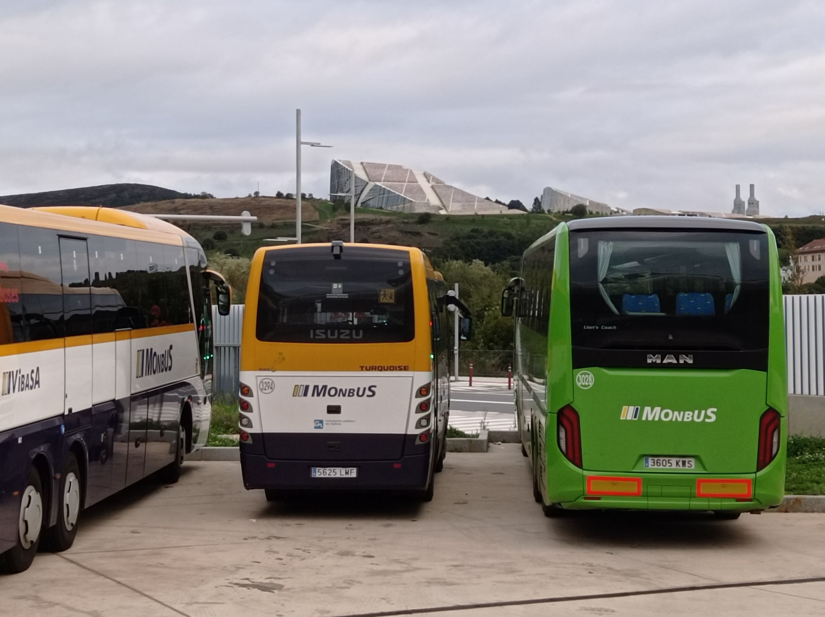
But I mostly visited smaller towns along the coast. While most of them were on to the railroad network, the connections were not great. Some trains would go only a few times a day. Or they had to make big detours. Other places were serviced by regional trains with loads of stops. These trains were mostly operated by independent companies and did not participate in Interrail at all. On the other hand, regular fares were much cheaper than back home in Germany. Same for the many long-distance buses, which turned out to be fastest way to travel along the coast in northern Portugal and northern Spain.
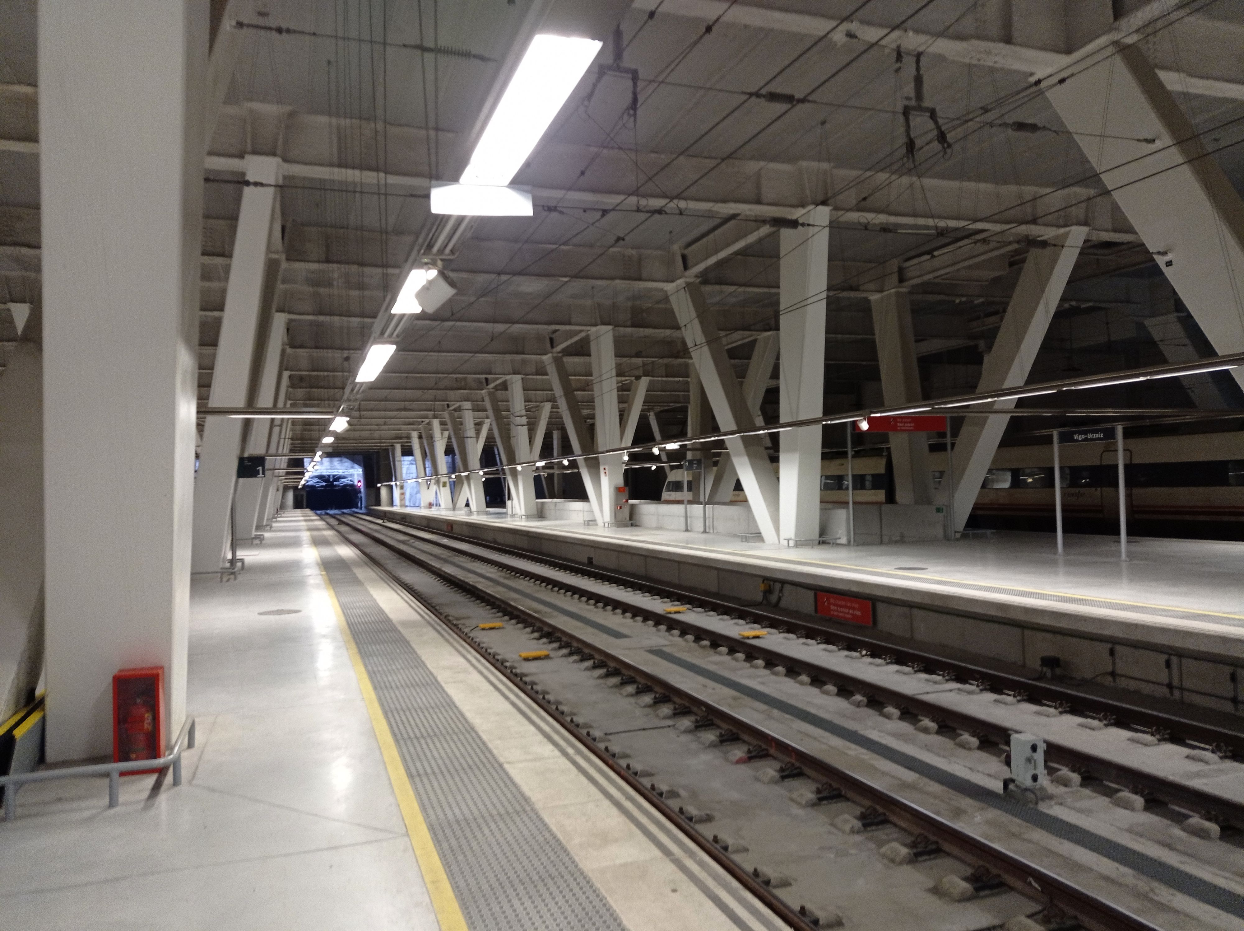
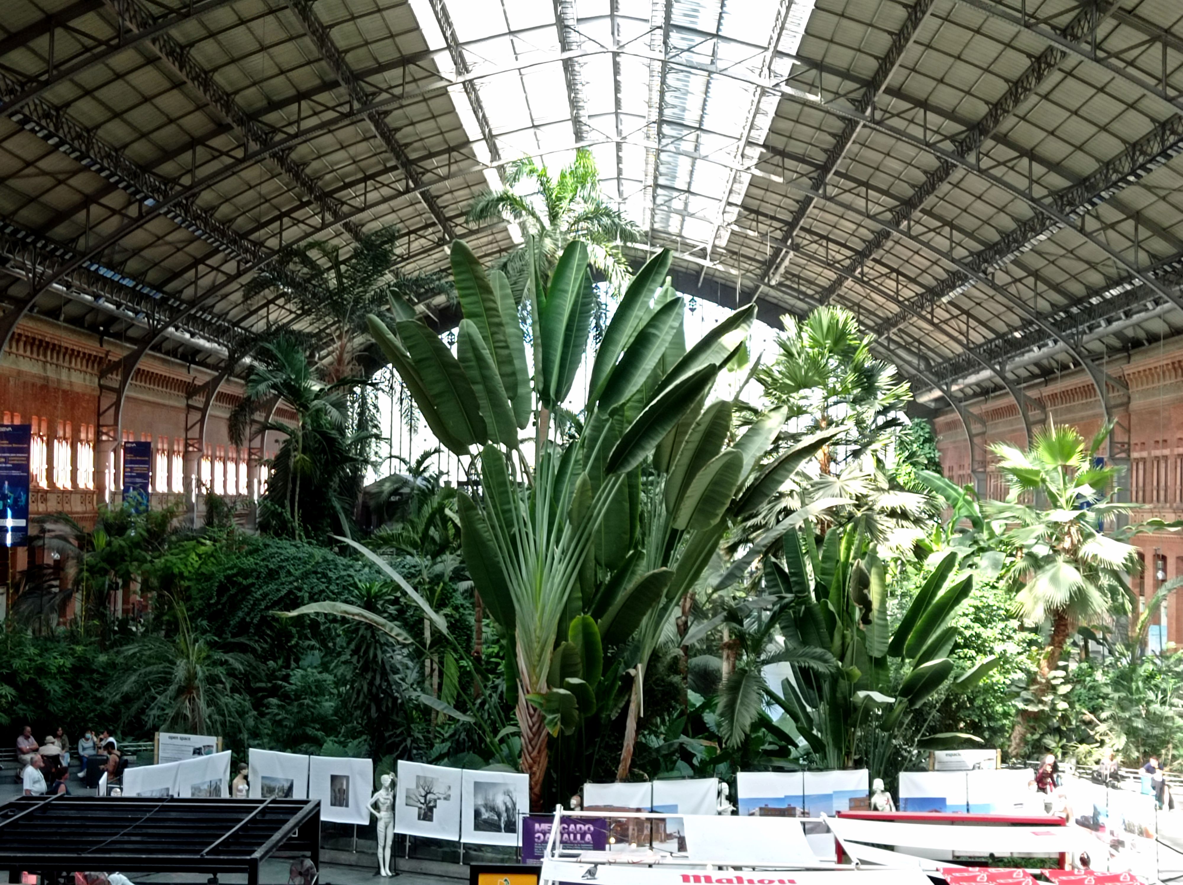
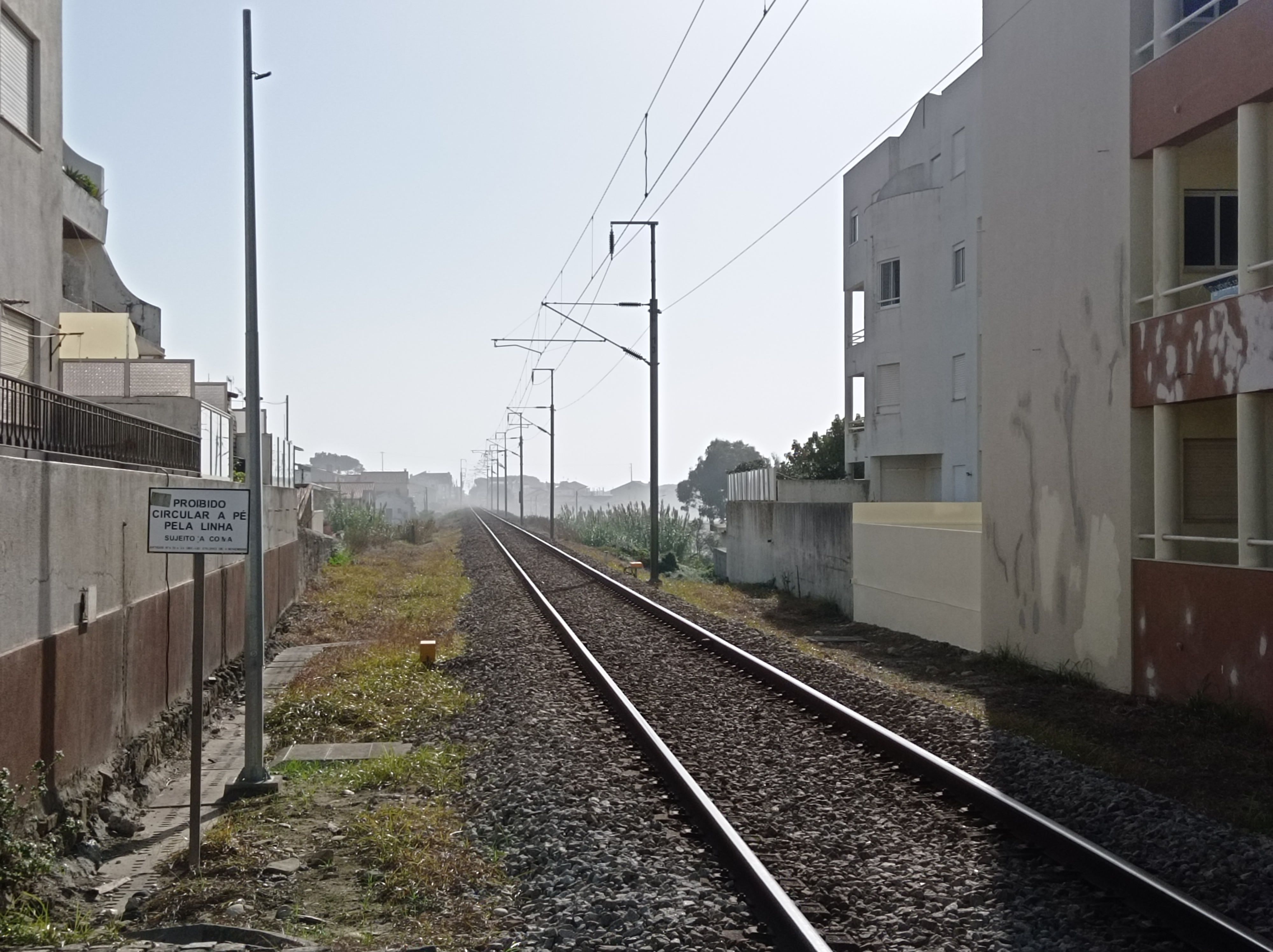
Madrid’s Atocha station has a tropical garden in one of its old halls. Smaller regional routes have to content with a simple platform, like the one close to these lonely tracks in Moledo. Most routes are better served by buses though, and many Spanish cities have elaborate bus stations, mostly underground.
In summary, my Interrail pass wasn’t the big money-saver that I had been hoping for. But in the end I got everywhere I wanted to go for a reasonable price. Plus, the Interrail pass and most of the other fares got reimbursed from my Flexible Mobility Budget.
Don’t get me wrong, I still think that Interrail is a great offering. It will pay off when visiting countries with denser railway networks. Or when traveling between many bigger cities throughout Europe. But it may require more careful planning upfront.
Also, the hassle of getting reservations should not be underestimated. Most countries require them for long-distance trains. In some countries you can get Interrail reservations online at the booking sites of the national railroad companies, or on the Interrail website or mobile app. But in Spain this does not work at all: you can only get Interrail reservations on location at a major long-distance train station. Well, you can also place a pre-reservation through a phone hotline, but you’ll still have to pickup the reservation at a train station at least 24 hours before the scheduled departure of the train. I sure hope they’ll fix this inconvenient practice eventually.
With a short stopover in France, I’ve been traveling through Spain and Portugal from mid-September to late October. Main objective was to get to know surf-spots along the Atlantic coast and surf as much as possible.
Here I’ve collected my surfing experiences. Mostly to learn from it for future endeavors. E.g. what spots and what conditions worked best for me with certain boards. (I still don’t have my own board, so I can always rent what seems most suitable.)
Biarritz (fr)
Not quite Ibaria yet, but already part of the Basque region. Food and accommodation is expensive here. Even more than in Paris.
Stayed at Surf Hostel Biarritz, a little off the coast in a quiet residential area. They rent out bicycles and let you grab a board for free.
First time I’ve ever used a surf-board rack on a bicycle. Turns you bulky and sluggish, but works quite well otherwise. Beware, the coast in this area is quite hilly.
Tue, Sep 20th, late afternoon, Grand Plage
My first surf since January. Grabbed an 8+ foot board (don’t know exact size), like most other surfers at the spot. Waves were small (less than 1m) and chaotic, but I caught a couple of them. Good start.
Wed, Sep 21st, noon, Côte des Basques
Looked fairly disappointing when we got there. It was clear that this would be a short session. Didn’t even put on a wet-suit. Just some tiny waves to catch and some white-water.
Wed, Sep 21st, before sunset, Grand Plage
Looked better than Côte des Basques and slightly bigger than the day before (maybe just up to 1m). Still very chaotic, with widely shifting peaks. Everyone struggled, but good paddling workout. Slightly more powerful, but very short rides.
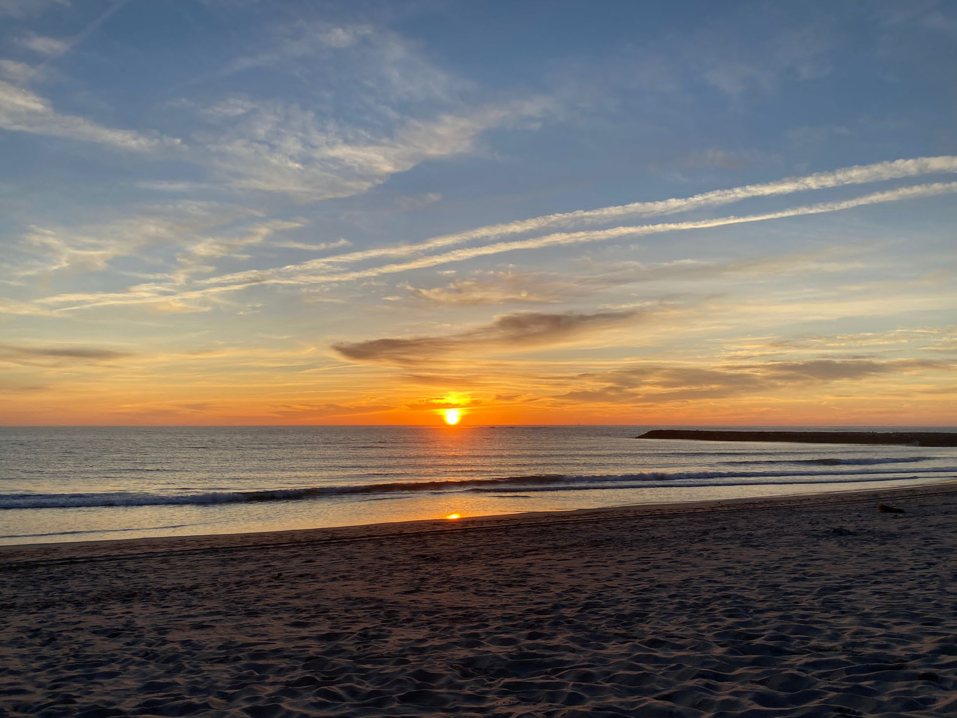
As so often on day two, muscles felt sore and ribs were hurting. Beautiful sunset seen from the town of Biarritz and the cliffs around it.
Donostia a.k.a San Sebastian (es)
There’s beaches right in the city. I settled in at Surfing Etxea (etxea meaning house or home in euskara) some hundred meters behind Zurriola beach. Just put on your wet-suit, grab your board, and walk to the beach bare foot.
Zurriola crowds
Thu, Sep 22nd, before sunset, Zurriola
Still barely more than 1m, but very clean, with long intervals (~11s). Fairly pronounced peaks for a beach break. When you could catch a wave they felt quite powerful, allowing for big bottom turns and nice sideways speed. Never seen such crowds before though. After initial success I struggled to make my way in the line-up. Even though I was on an easy 8′ board.
Fri, Sep 23rd, late afternoon, Zurriola
A little hung over. Waves were similar size as the day before, but less clean. Risked a shorter board (7′10″) and had trouble catching enough waves, even though my paddling is slowly getting stronger. But when I got one, it felt great.
Sat, Sep 24th, afternoon, Zurriola
Ripped a big hole into the leg of my wet-suit when putting it on. Works fine for now, but won’t get any better. I’d already fixed so many other holes, should start thinking about a new one.
Slightly smaller, with shorter intervals. Grabbed an 8′3″ board. Still struggled with the crowds. Only got a few nice rides.
No wind initially, occasional drizzle turning into strong rain eventually. Gave the sea a mystical appearance. It stopped raining after a while, but later the wind picked up.
Sun, Sep 25th, late morning to noonish, Zurriola
Too lazy to get up earlier and check forecast and webcam in the morning. Picked the 7′10″ again, which was a mistake.
Waves were slightly bigger (up to 1.5m), but came at short intervals. Peaks were shifting and waves tended to fade out. Everyone was struggling to catch waves and stay on them, but long-boarders were definitely better off today. Still a couple of successful pop-ups and at least one nice ride.
Sopelana, just north of Bilbao (es)
A rocky coast with nice beaches, and the La Triangular reef in-between. Unfortunately the weather turned ugly, meaning lots of rain, strong winds and messy waves. No surfing for several days.
Luckily the Moana Surf House provided heaps of alternatives, such as yoga and an underground mini skate-park. Still don’t know how to skate, but got my first surf-skate intro lesson for free!
Also made a sight-seeing trip to nearby Bilbao one day.
Messy La Triangular
Fri, Sep 30th, late morning, Sopelana
Rain and sunshine are taking turns by the minute, but the winds have calmed down a little. Waves are still horrible. Only saw one surfer out there in the line-up, giving up pretty soon. So I joined the beginner/intermediate surf lessons to catch some whitewater on an 8′ foamy.
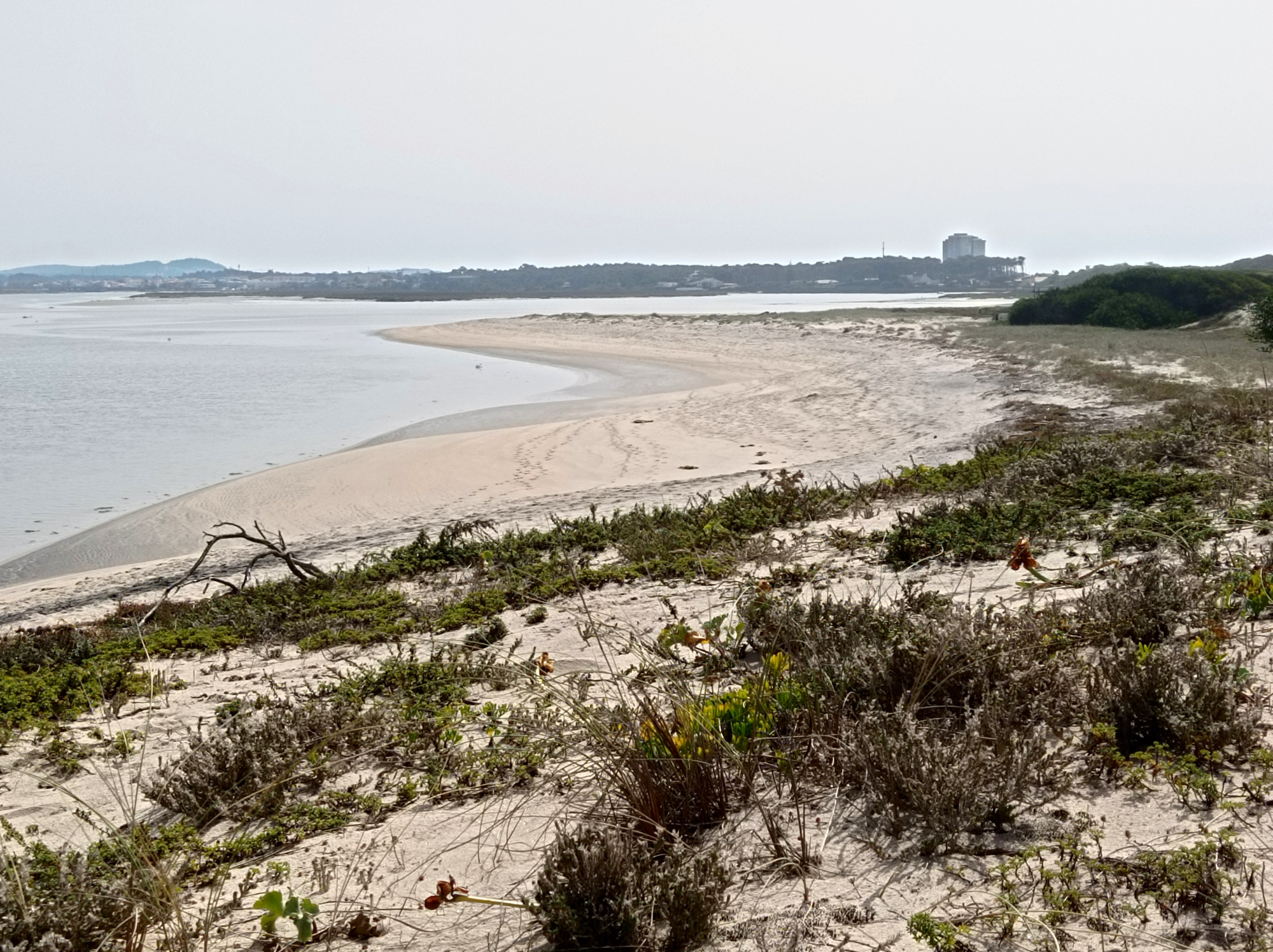
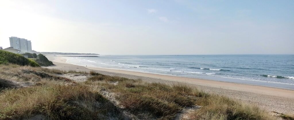
Esposende/Ofir, north of Porto (pt)
Skipped the rest of Spain’s Atlantic coast for now and cut short to northern Portugal (via the beautiful inland city of Madrid). Settled in at Element Fish Surf Camp right at Ofir beach, close to Esposende.
A small day at Ofir
Mon, Oct 3rd, early afternoon, Ofir (south/Bonanza)
Joined the surf lessons at the south of Ofir beach, a spot they call Bonanza. Waves were a little more than 1m high and very clean. Picked a big ~8′6″ foamy. Easy to catch, but short rides. Maybe the best session so far.
Mon, Oct 3rd, before sunset, Ofir (north)
Gave it another shot at Ofir beach, slightly further north. Same board. Waves were slightly higher, but harder to read with a little chop and a slight current. Got cold and exhausted soon, only caught a couple of waves.
Tue, Oct 4th, noonish, Ofir (south/bonanza)
A little smaller than the day before. I picked a ~10′ long-board. Easy to catch waves with, but way nicer to ride than the foamy.
Wed, Oct 5th, noonish, Ofir (center/Fão and south)
Yet smaller, but I could still catch some waves with the ~10′ long-board. No great rides, so I focused on my technique. Tried to fix my high stance and avoid looking down or back at the wave. Didn’t think too much about my pop-up anymore — it may not be great, but it works well enough in these easy conditions.
Thu, Oct 6th, early afternoon, Ofir (center/Fão)
A little bigger, around 1.5m according to forecast. But a little choppy and and fairly short intervals. And a little current.
Grabbed a narrow 7′10″ with fairly little volume. Really struggled with it at first, quite a difference to the long-board the days before. Required a few more paddles and a clean pop-up. But I got used to it eventually and caught a couple nice waves.
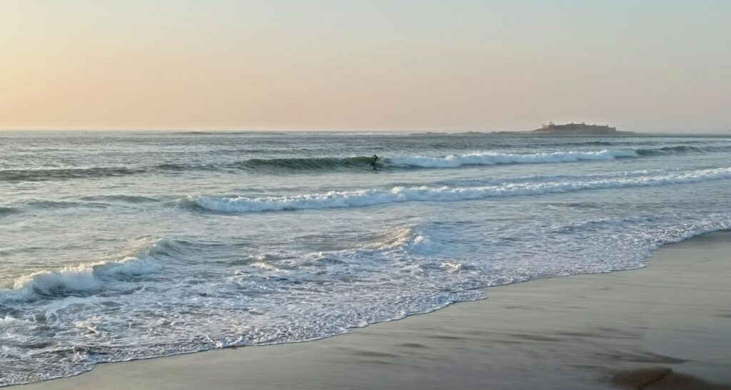
Moledo do Minho, the very north of Portugal
Moved a couple dozen kilometers northwards to Moledo. This is the last Portuguese beach before Rio Minho, which forms the border to Galicia (es) here. Checked in with the nice folks of AllYouCanSurf and joined their surf lessons.
Main spot at Moledo, with the iconic fortress island in the back
Sun, Oct 9th, morning, Moledo beach
The spot works low to mid-tide, so we had to get up early. Swell was decent, forming waves up to 1.8m high. We went to a sandbank slightly north of Moledo, about halfway to the offshore castle island. Waves were slightly smaller here, so I grabbed a huge 8′6″ foamy. We spent some time going through the basics and practicing in the whitewater. Later we paddled out though and got a couple of green waves. For a beach break, they had fairly predictable peaks. I got exhausted very soon though.
Sun, Oct 9th, sunset, Moledo beach
Since the soft-boards were locked away I grabbed a slightly shorter hard-top board from the house. Waves had gotten smaller throughout the day, but I had to wait for the tide to drop enough. Got to the beach short before sunset. It was dark and cloudy, with drizzling rain. No surfers out there and few other beach goers. Went to the same sandbank again, because it was conveniently close to the beach and I didn’t know enough about potential hazards elsewhere. Just practiced a few pop-ups on small waves that were closing out quickly.
Mon, Oct 10th, late morning, Moledo beach
Smaller waves today, slightly more than 1m. So we went to the main spot of Moledo beach, just in front of the car park. There’s clusters of rocks here, but at low tide they are all on dry land and the bottom is all sand.
I picked the huge soft-board from the day before, which was just right. There were long intervals between sets and waves where breaking very slowly and didn’t have too much power. But with the huge board I could catch many of them and get long rides, if I managed to stay on them. Wide faces with a lot of room to maneuver. The best session of this trip so far!
Tue, Oct 11th, late morning, Moledo beach
Waves up to 2m today, so we went to the northern sandbank again. Looked very clean with intervals around 10 seconds. Getting out was not a problem here and I caught some decent left-handers in the beginning. They were breaking quite slowly and I didn’t manage to stay on them for too long.
There was some current southwards and maybe I didn’t pay attention to it enough. Eventually I got washed by a couple of bigger sets and got super exhausted. I paddled further inside and only got a few smaller waves.
Wed, Oct 12th, afternoon, Vila Praia de Âncora
No lessons today and small swell. So we went over to Âncora, which seems to work better in these conditions. I took an enormous foamy, almost 9′0″ and extra wide. As expected waves were small (less than 1m) but surprisingly clean and just powerful enough. Even though it was a little crowded (but no comparison to San Sebastian 3 weeks ago) we could catch plenty of waves. Wide faces, so two of us could stay on it and ride it out to the shore. Very fun and easy session. Quite short though, since the spot stopped working as the tide rose.
Thu, Oct 13th, noon, Moledo beach
Yet less swell, but back to lessons by the rocks at Moledo beach. Waves less than 1m high, so I kept the 8′6″ foamy. Fairly clean sets though, so I could catch loads of waves easily and focus on riding technique.
Turns out I’ve relying on the rails too much, when doing turns. Leaning into the turn and putting pressure on my toes or heals (like I’d be butting pressure on the edges of a snowboard). Instead I should be rotating more and use the fins to control the direction of the surfboard.
Also should work on a narrower stance and lower center of gravity — bend my knees. And shuffle back and forth on the board, if necessary. Forward to stay on a weak wave and backward make turns. Hard to bring it all together at once, but today I made some progress toward it.
Fri, Oct 14th, noon, Moledo beach
Same, same, but different. Even though waves looked just a bit nicer than the day before, I struggled. Messed up several easy popups in the beginning. On the waves that I got, my stance, posture, and balance just didn’t seem to work very well. Still turning on the rails too much.
Just as it started to get better, I suddenly felt a pain in my lower back. There wasn’t any particular reason for it and the pain didn’t come suddenly. I just caught a wave to the beach, stepped of the board, and there it was. Certain movements just started to feel unbearable. I paddled (well, mostly walked) back to the lineup one more time. But I noticed that I couldn’t get into an upright paddling position anymore. Let alone attempt a popup. So I took some whitewater to the beach and ended the session after 20 mins.
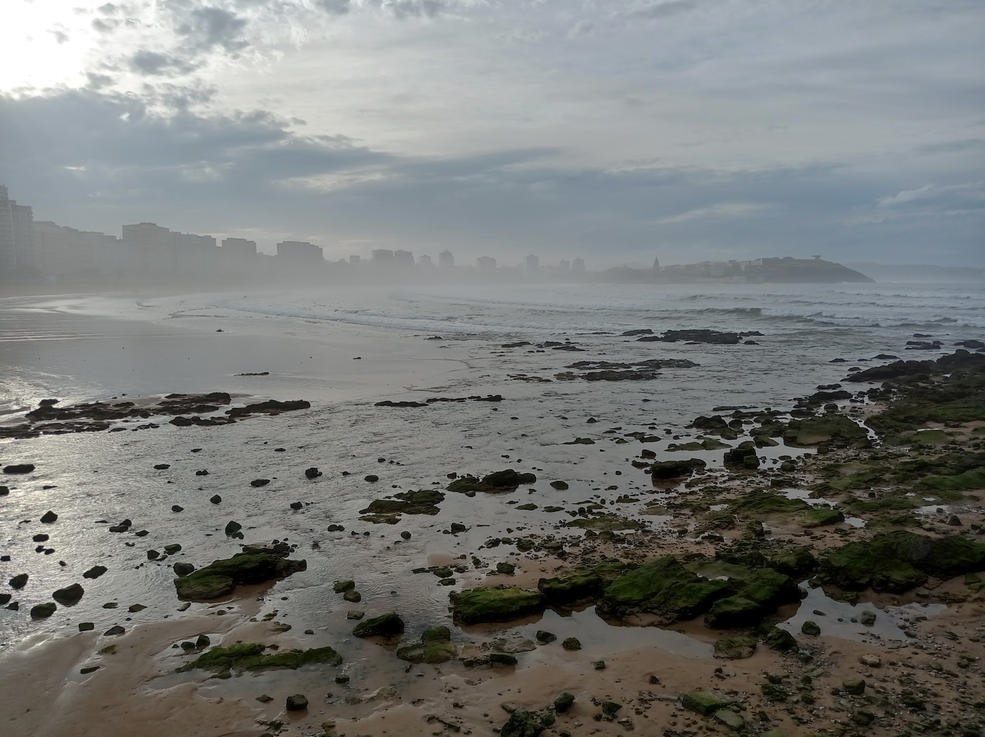
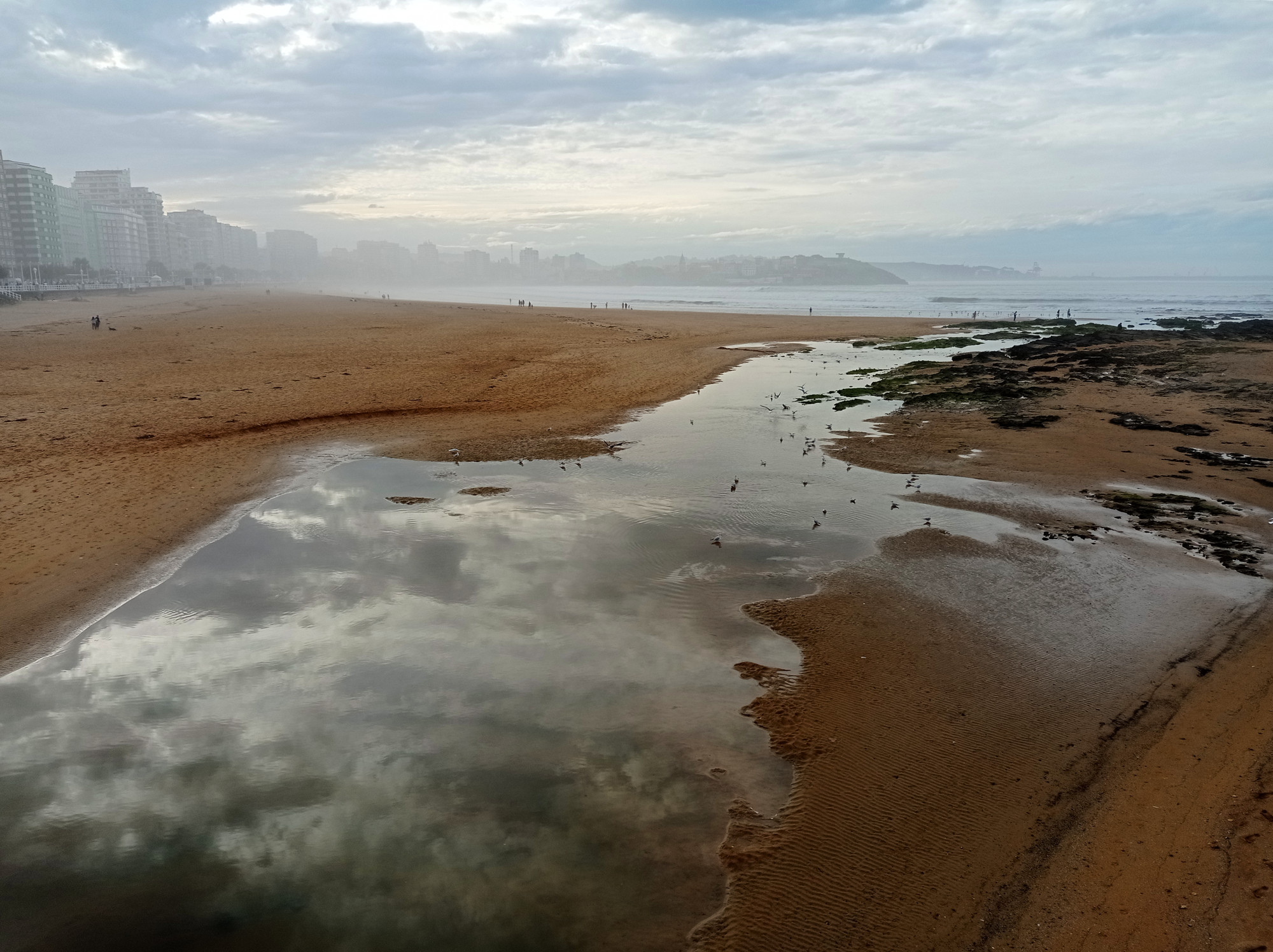
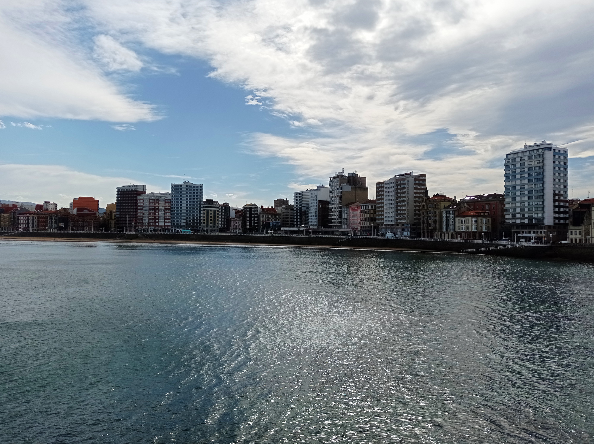
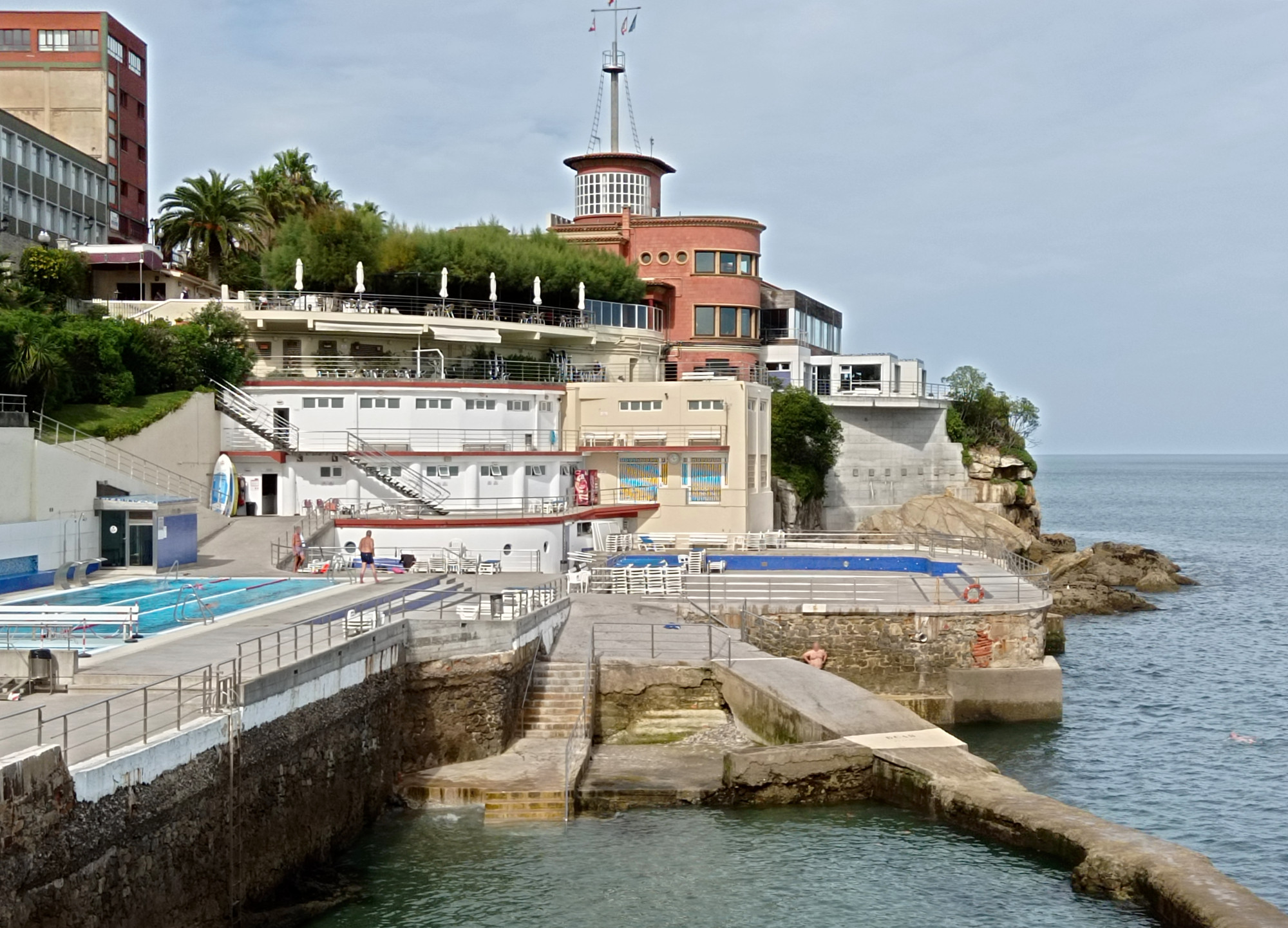
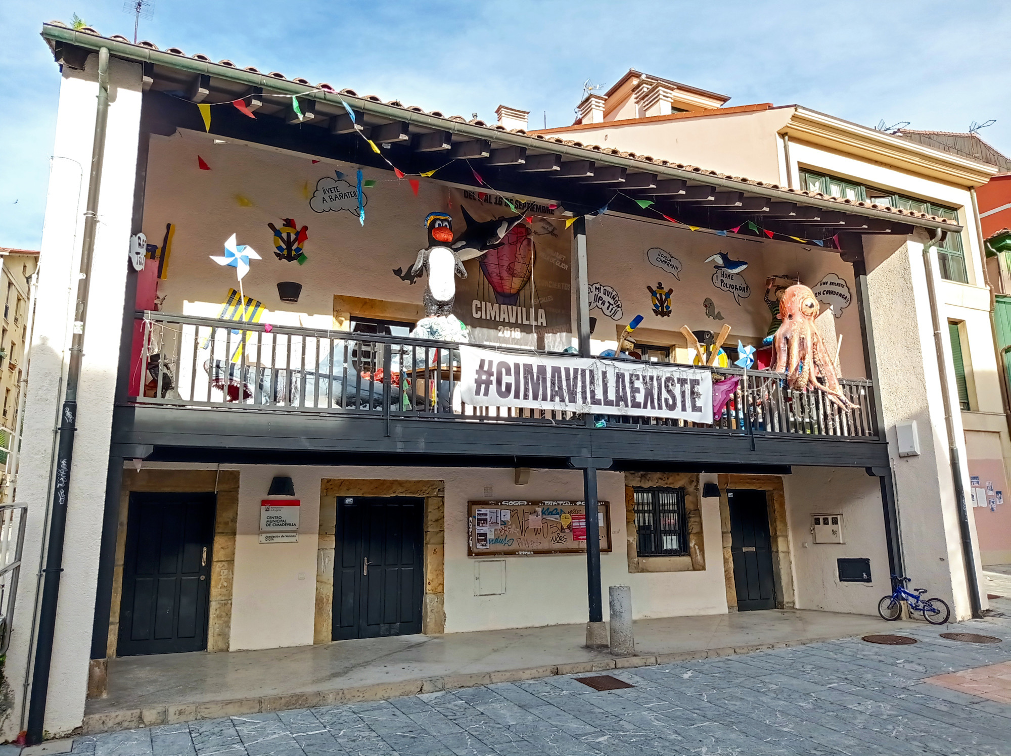
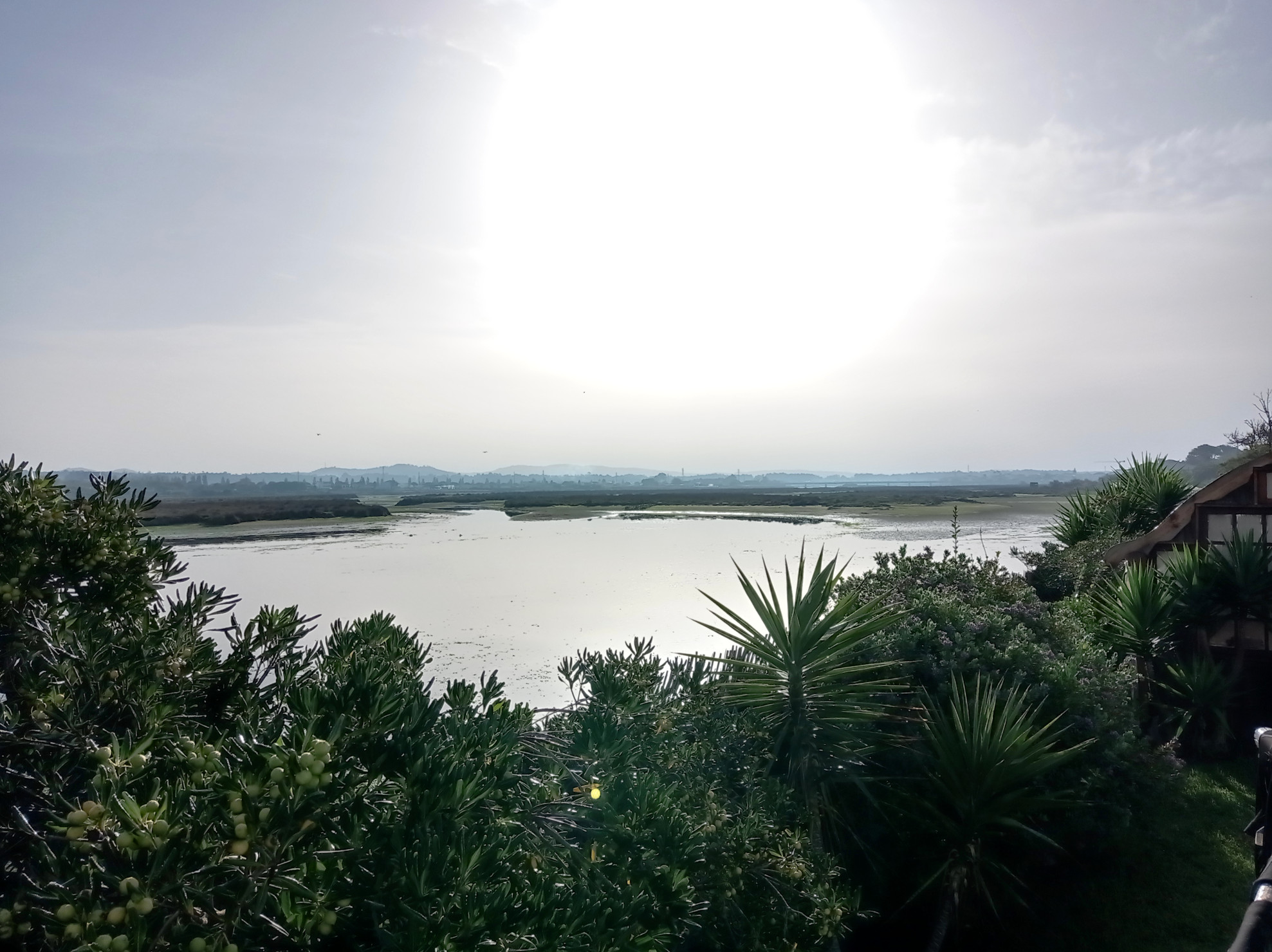
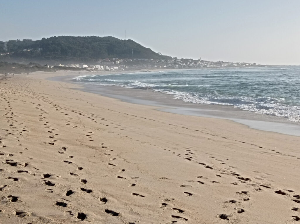
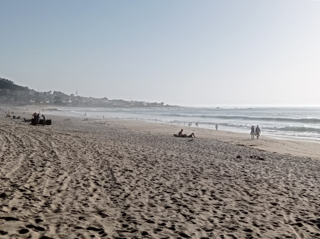
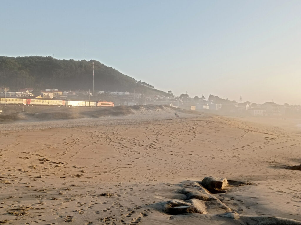
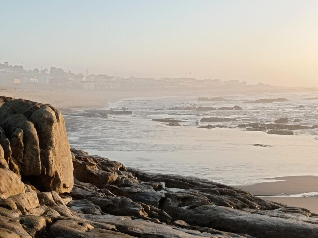
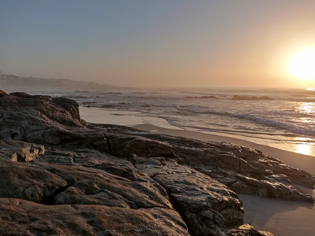
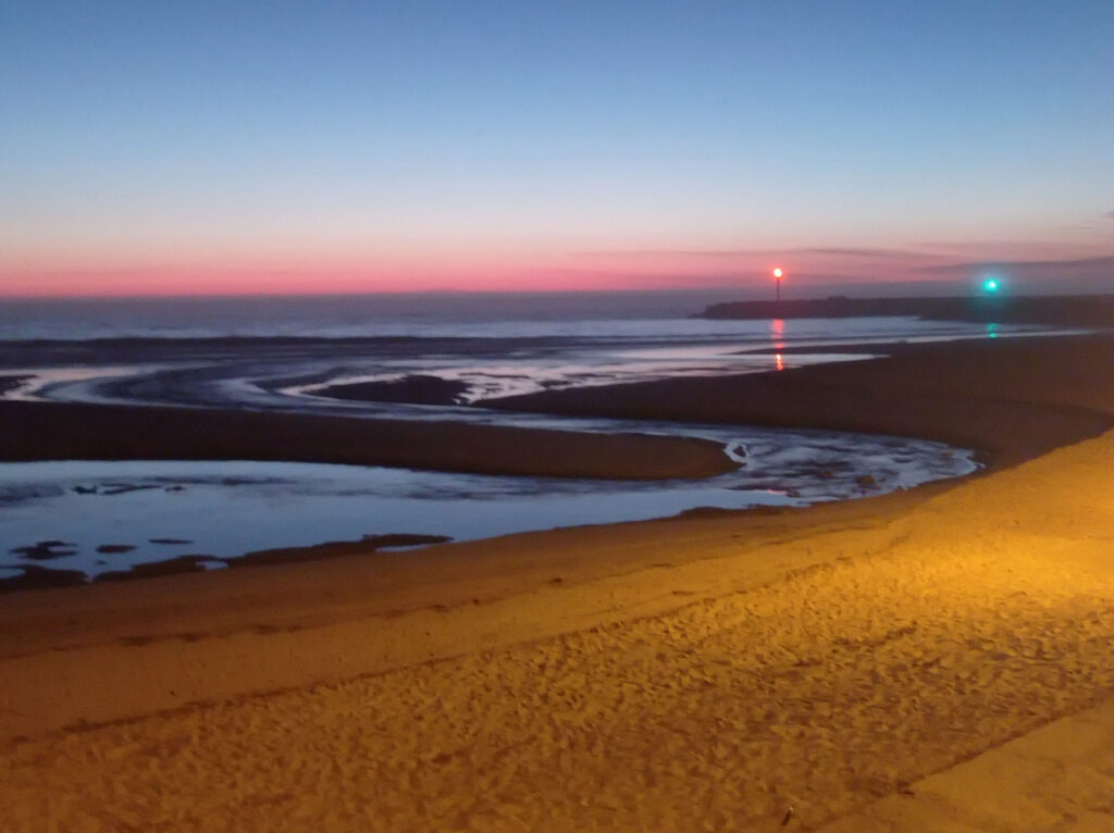
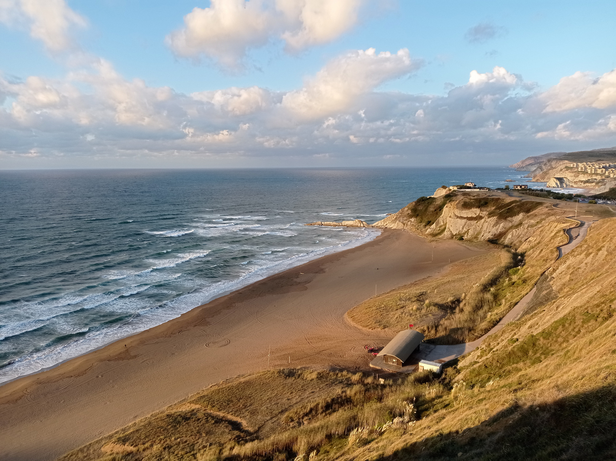
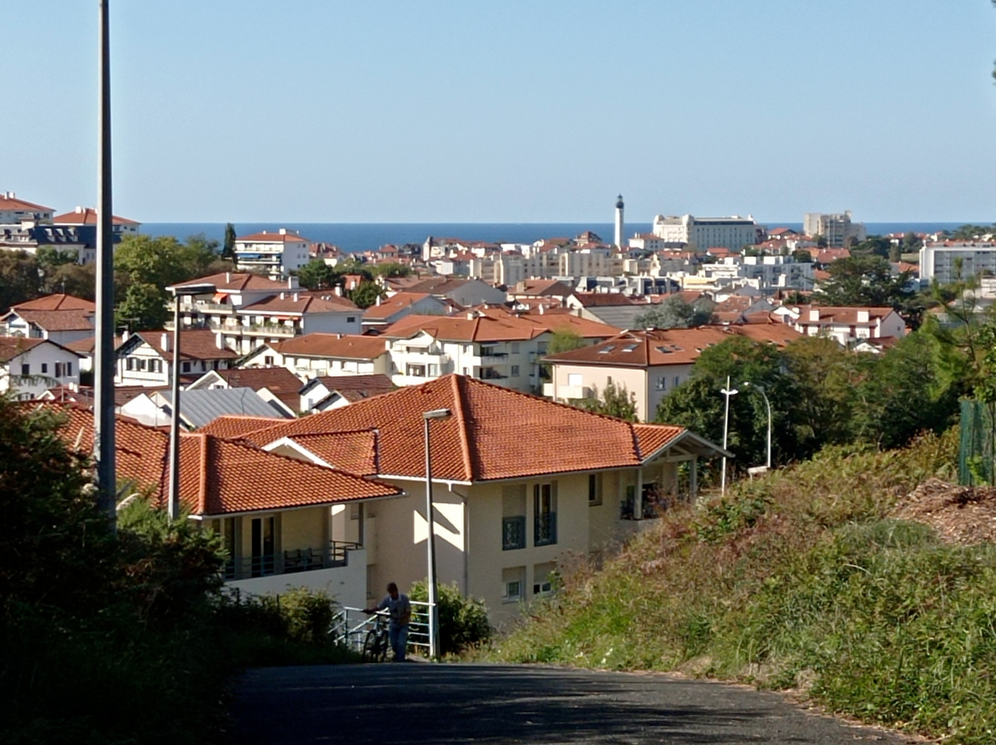
Xixón a.k.a Gijón (es)
Relocated to Xixón (Asturies) via the famous Galician city of Santiago de Compostela. Loads of hikers around, but I comfortably traveled by bus and train. Gave my sore back a rest and — with additional help from heat patches and light pain-killers — it got better after just a few days.
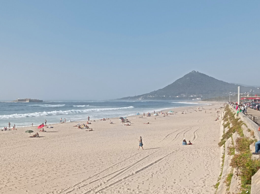
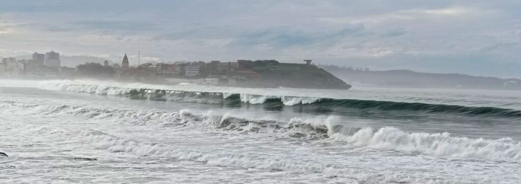
When I arrived in Xixón on Sunday, I checked in at the lovely Boogalow Hostel right at Playa San Lorenzo. I even got a room with beach-view and could check the waves any time.
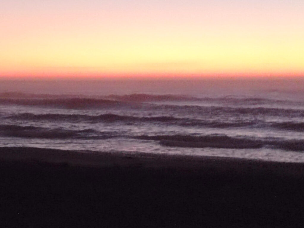
And the waves were pumping, clean with 2.5m plus and 14s intervals, but mostly closing out way before the beach. Some surfers were trying to catch smaller waves on the shielded western end of the beach, close to the old town. Others were quite successful at the right-hander beyond to the western end of the beach. I think it was the spot that they call “El Mongol”. Access over a rocky reef looked super gnarly in these conditions.
I decided to give my back another day of rest. Probably should have attempted surfing in these conditions anyway. Went swimming in the whitewater instead and was happy to learn that the water here was warmer than in Portugal.
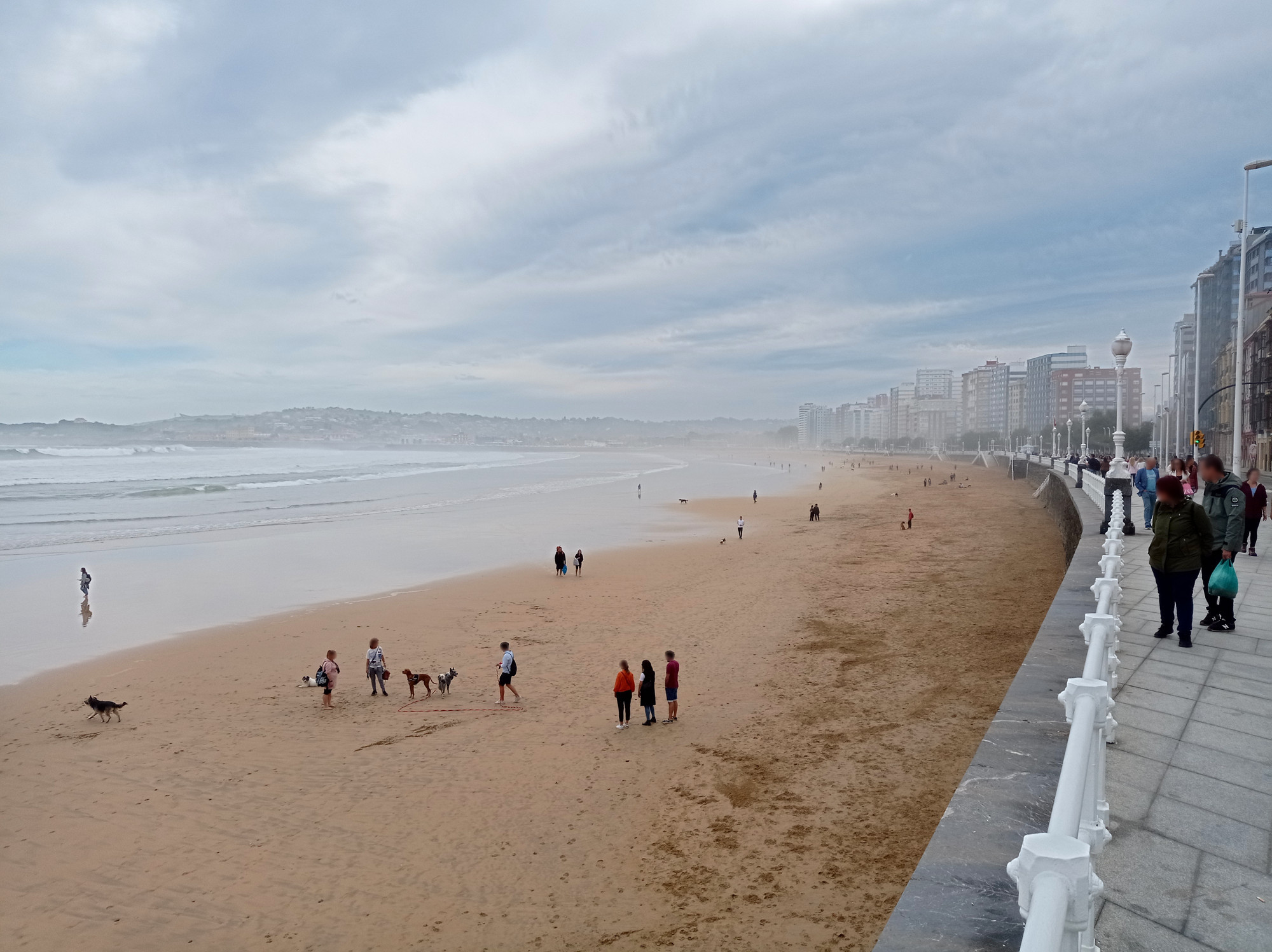
Xixón on a big day, few surfers brave enough to go out there
Mon, Oct 17th, evening, Playa San Lorenzo (beach section 7 to 8)
Compared to the day before, it looked almost flat. But the waves were still 1.5m high when bigger sets rolled through at 12s intervals. The beach break was working again and attracted some crowds (though it was less crowded than in Donostia a few weeks ago). I rented an 8′0″ hard-top from the surf-shop next to the hostel. Still not confident about my back pain, I did a thorough warm-up. Luckily my back didn’t act up at all during this session.
Nevertheless I struggled with the conditions. Had to pay attention to the crowds. A couple of long-boarders caught all the waves further outside. Near to the beach short-boarders would grab them close to the peak. Some ways closed out soon. Nevertheless I got a couple nice rides, mostly to the left.
Tue, Oct 18th, noon, Playa San Lorenzo (beach section 10 to 11)
Yet smaller today, so I got a 9′0″ long-board. It was a soft-top but fairly narrow. I should start paying more attention to width and volume — this one was 70L.
Most other surfers picked big boards today. There were still some clean power-full 1m plus waves rolling through, but we had to wait a long time in-between sets. Smaller sets were just too weak and most of us paddled for them in vain. But we got nice left-hand rides when the take-off worked. Even though it was a soft-top, my long-board felt quite fun and agile. At least compared to the big and wide boards that I had used in Moledo.
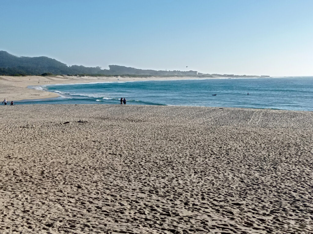
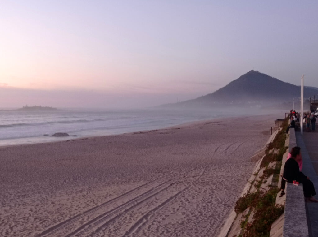
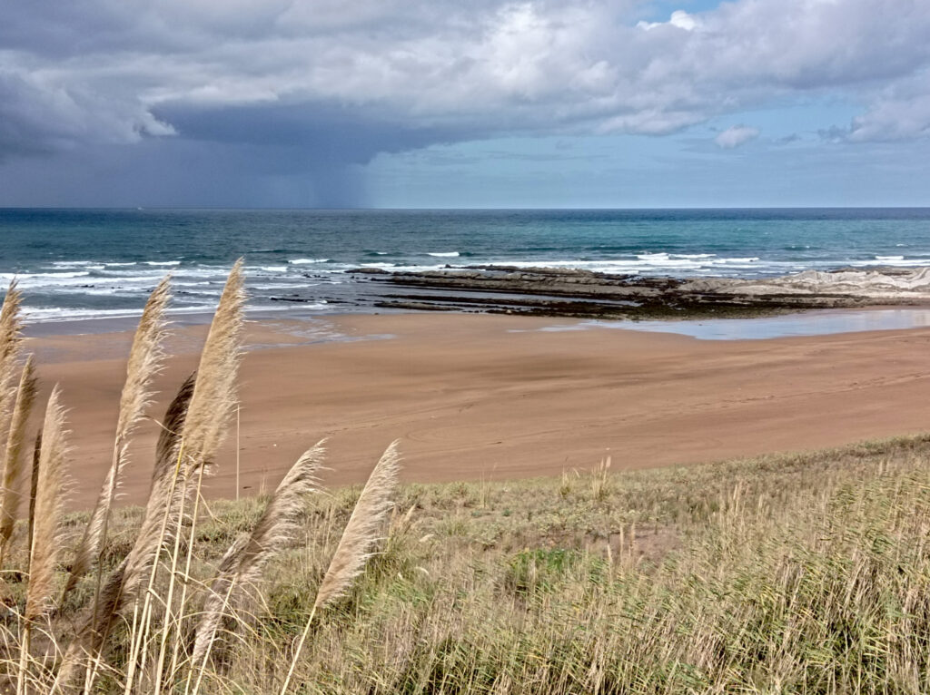
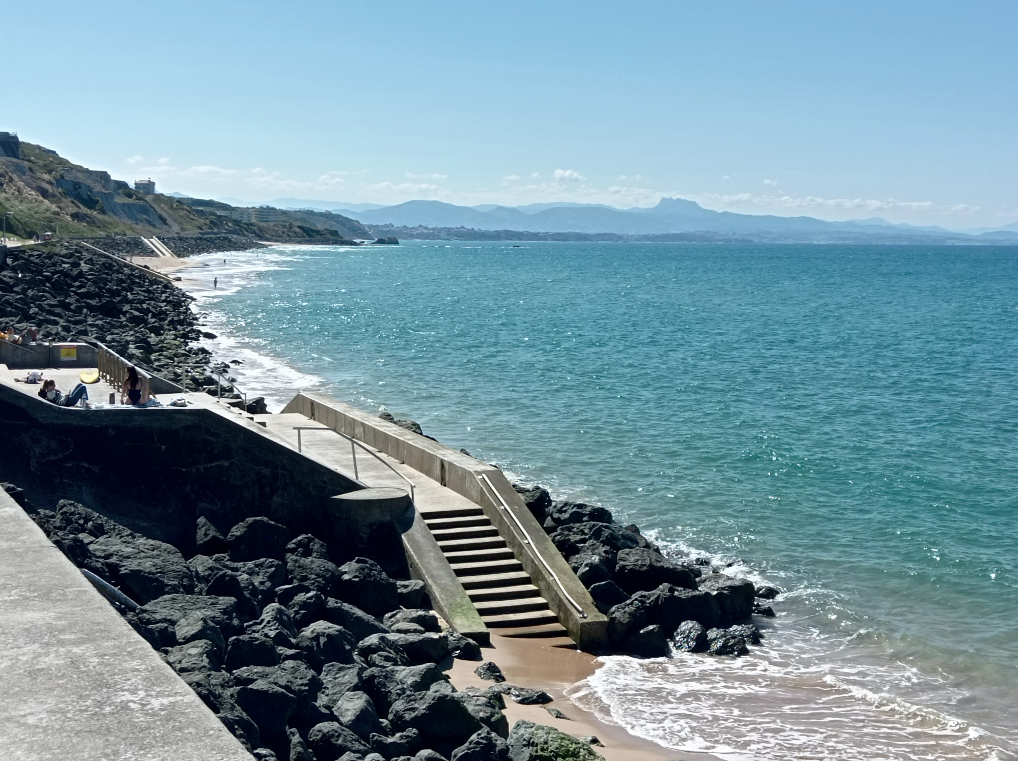
San Vicente de la Barquera (es)
Xixón was great, but the swell forecast looked bad for the rest of the week. So I made a quick de-tour to the Picos de Europa and went hiking there. Afterwards I went to the Element Surf-Camp near San Vicente in Cantabria. I booked their free-surf package.
Playa Meron, tucked in between the rolling hills and the sea, in front of San Vicente and the Picos de Europa.
Sun, Oct 23rd, afternoon, Playa de Oyambre
Oyambre beach is just a 5 mins walk from the camp. Surf forecast said less than 1m waves with 14s intervals, so I picked a big 8′0″ soft-top board. There were several sand banks forming distinctive peak, offering mostly left-hand rides. Occasionally right-hand rights, too.
I tried several peaks during the course of the afternoon at different tides. Some worked better than others and all had distinct characters. Competition was mostly long-boarders and mini-malibus. I don’t remember all the details, but I got a lot of rides this day. I stayed for more than 4 hours, occasionally taking a short rest on the beach. Altogether the most productive session so far.
Mon, Oct 24th, afternoon, Playa de Oyambre
Waves were just slightly bigger than the day before, so I sticked with my big soft-top. Started at the sand-bank right in front of the path that leads from the surf-camp to the beach. There was quite some waiting involved, but it was rewarded with nice rides.
There was another good spot slightly further west, where there’s a stone wall stabilizing the hill slope just behind the beach. After the big surf school group left the spot, I relocated there. Waves where more powerful there, but I found it hard to read them. Often they would not have enough power, or they would close out. But I managed to be in the right spot a couple of times and got rewarding rides. Mostly to the left.
Tue, Oct 25th, afternoon, Playa de Gerra
Yet less swell, so I went over to Gerra beach, which is more exposed. (Got transfer with the Element Surf crew, who gave lessons there.) Waves where about 1m with 10s intervals.
I went to a shifty peak one or two hundred meters north-east from the Gerra car-park. Waves were very mellow there, starting to break outside, but often fading out again. When they didn’t fade out, the peak would keep rolling straight to the beach rather than to the side. With my big board I could still catch the stronger of these waves, and ride them out to the beach. Since they didn’t move to the side much, it was ideal for practicing cut-backs (or something like it). There was only one other surfer there. I wondered why he had picked a short-board, because he wasn’t catching any waves with it.
Slightly to the west the lessons crowd had a nice looking peak. Most of them were in the white-water or even doing exercises on the beach. So the line-up wasn’t too crowded and I decided to move over. One of the course participant had a long-board and looked fairly experienced. He was catching a lot waves and I soon joined him in that. We had to paddle quite hard and long to catch the waves, but we got nice long rides.
After a while I looked over to the spot from before and noticed that it was pumping now that the tide had risen. The guy with the short-board started making sense now and he had been joined by a huge crowd of other short-boarders. I tried my luck, but I just couldn’t handle the crowds. At one point I botched a take-off because there was someone who had been washed by the previous wave right in front of me. Even as I jumped off the board, it shot right at him. Luckily he was paying attention and dived away. He didn’t seem to have hard feelings though. I tried a few more times, but eventually I gave up. Pity, because it was a nice, powerful left.
Thu, Oct 27th, afternoon, Playa de Gerra
Conditions were similar to Tuesday, maybe just a little smaller. However, this wasn’t my strongest day. Blew a couple of easy pop-ups and even did several unnecessary nose-dives. At least I didn’t almost kill anyone. And in the end I got a couple nice waves.
Donostia a.k.a San Sebastian (es)
Back to Surfing Etxea in Donostia, the last stop of my surf trip.
Fri, Oct 28th, before sunset, Zurriola
Up to 2m big at 14s! I picked an 8′6″ long-board nevertheless, hoping to catch some waves far outside where they were breaking softly. But by the time I got to the beach, the tide had risen and outside was not working anymore. Not even on the biggest sets.
Instead, waves were breaking far inside, mostly closing out. There was an army of short-boarders taking off on steep waves and getting crushed by the whitewater immediately. I was scared of crowds an nose-dives, and barely went for any waves the first half hour. Eventually I caught a smaller one and rode it out to the beach.
I relocated from the center of the beach to the quay wall at the western end. Somewhat shielded from the swell, smaller waves would form close to the shore, but not closing out as badly as elsewhere. After figuring out where to sit, I got some nice waves. Still powerful by my standards, but very short rides. Almost slammed into the sand several times.
At dusk the crowds dissipated and I moved back to the center of the beach. Almost got crushed by some bigger sets, but eventually I caught some waves. They felt very powerful, but after one turn the whitewater would catch up with me. Well, at least I rode one out to the beach just as it got too dark.
Sat, Oct 29th, noonish, Zurriola
Slightly smaller today at up to 1.7m. Since it was low-tide, I figured I’d give the outside another shot and grabbed a huge 9′6″ long-board (with a volume of 70L to 80L I think). Unfortunately, I couldn’t make good use of it. The waves were just not breaking enough outside. And inside they would break too quickly and close out. In the end, I just caught a single short wave in this disappointing session.
Sat, Oct 29th, before sunset, Zurriola
Yet a little smaller and only breaking close to the shore. So I grabbed the 8′6″ from the day before. I started at the beginner spot by the quay wall. Still had trouble to position myself, but I caught a few short waves.
Later I moved towards the center of the beach again. The waves were stronger here, but they still tended to close out. Wiped out a couple of times. Also caught a couple of waves though and rode them out to the beach.
Epilogue
Well, that was it. I’ve headed back to Germany the next day.
I’ve had 25 days of surfing during the past six weeks. Some sessions were amazing and I tried and learned a lot knew things. Mostly improving my stance and positioning on the board, getting a better feeling for waves, and the way I do turns. (Use the fins, not the rails damit!)
But some sessions were still very frustrating. Before the trip, I had been hoping to switch to shorter boards eventually. But in the end, I was still struggling to catch enough waves with the bigger boards (around 8 foot) that I’m used to.
That said, I leaned that these boards have more potential than I thought. Maybe I should focus on long-boards altogether? Well, every day counts!
Most of the image manipulation and media organization applications that I’m using do not have great support for meta data. Sure, they can display and edit relevant meta data. But they’re not great at filtering, bulk-editing, etc.
So I’m using the exiftool CLI to get some of the basic image meta-data straight, before uploading images to this blog.
Setting CC meta-data as Exif tags
This is what I currently use:
exiftool -P -Artist='Arno Nymus' -AttributionURL='https://meeque.de/' -Copyright='This work is licensed under a Creative Commons Attribution-NonCommercial-ShareAlike 3.0 Unported License. See http://creativecommons.org/licenses/by-nc-sa/3.0/' -License='http://creativecommons.org/licenses/by-nc-sa/3.0/' *.jpg
Filtering for Exif tag values
E.g. find all files that have a certain camera manufacturer, and output the artist:
I’ve been struggling with my sportsendeavors recently. And it’s not just that I’m getting too old for this shit. I am definitely, but so far it’s not holding me back. It’s more like the conditions are stacked up against me all the time, e.g. when it comes to weather and equipment.
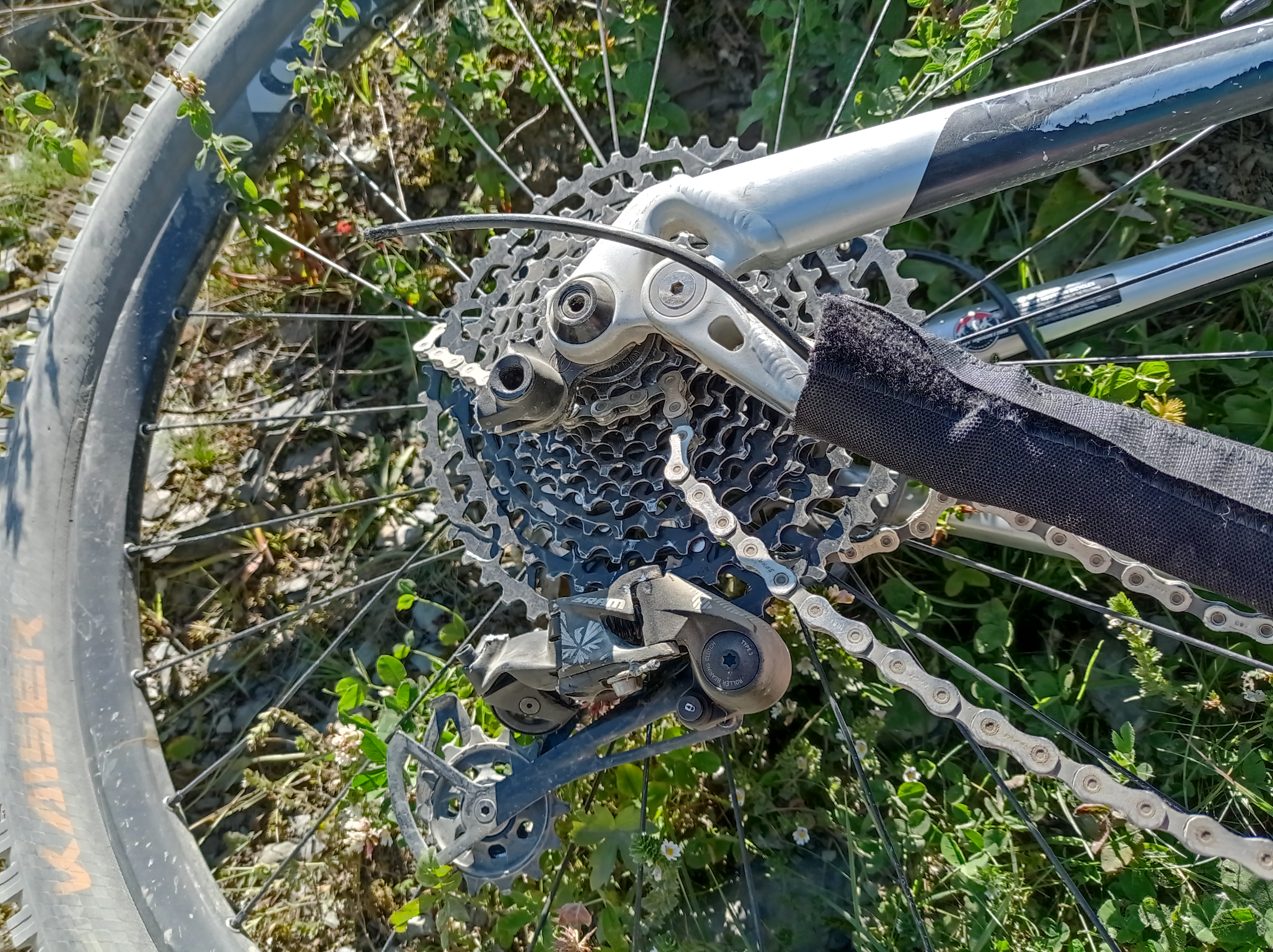
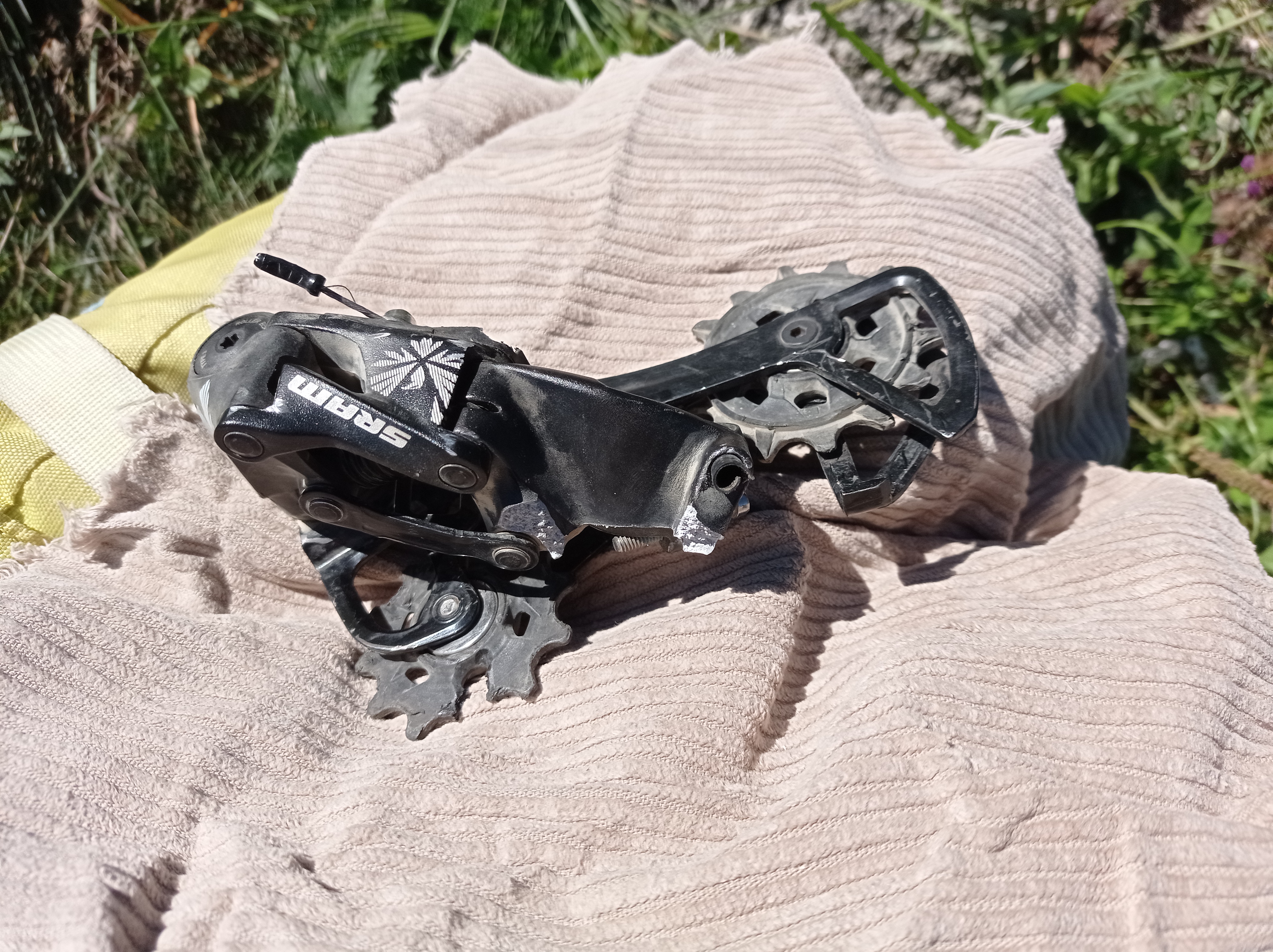
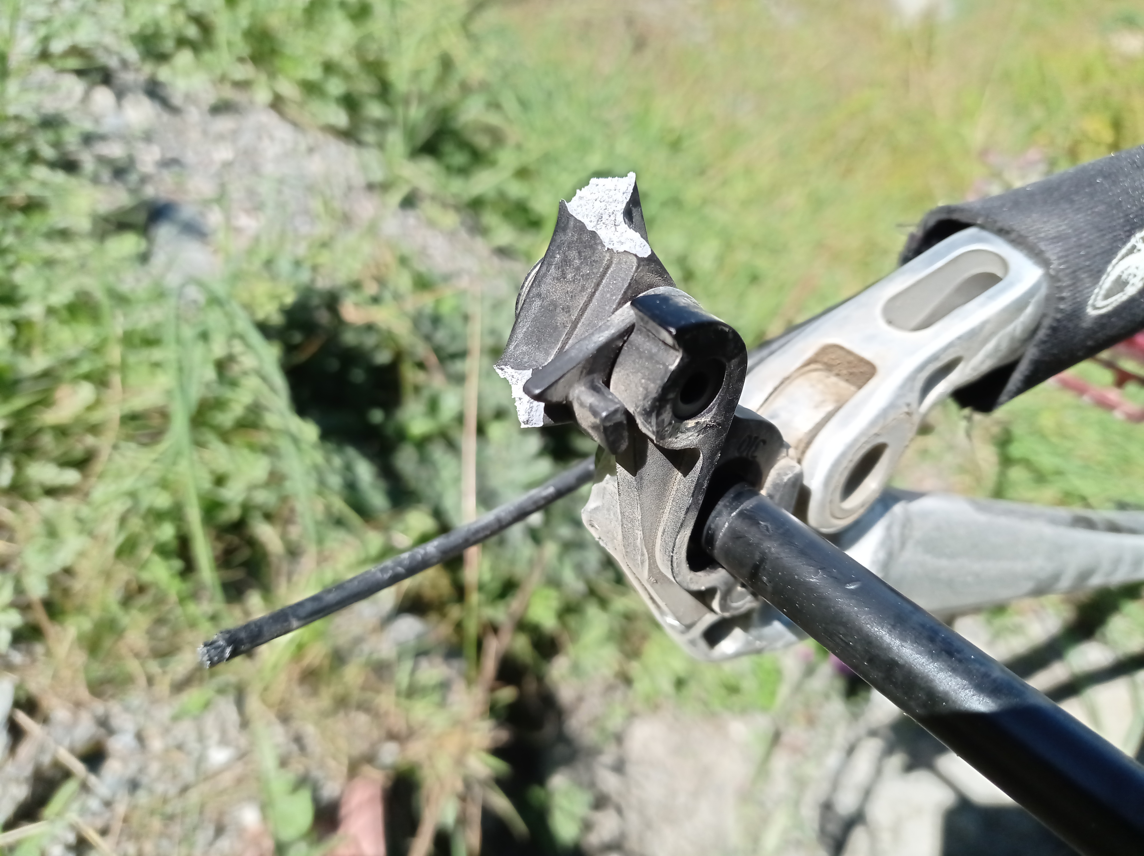
Case in point: I’ve been mountain biking at Saalbach last weekend, and suddenly my rear derailleur exploded for no apparent reason. It got stuck in the wheel, breaking away and damaging a couple of spokes. This is what it looked like afterwards:
Derailleur got entangled with the spokes and the chain, took some effort to get it out.Notice how something ate into one of the cogwheels. Maybe a spoke – are they that robust?The derailleur just cracked right at its attachment base, which is rather solid.
This happened on the fairly mellow Z-Line for no apparent reason. I guess I must have been on the lowest gear, bringing the derailleur close to the spokes. Normally I wouldn’t use this gear on a downhill trail, but I may have forgotten to shift gears. It was downhill, but not too steep or too rough. I wasn’t going very fast either.
Then suddenly the rear wheel just blocked completely, which caught me by big surprise. I don’t want to think about the consequences of this happening on the in-run to a gnarly drop or double.
Luckily I was over-equipped with tools and I was able to unlink the chain, remove the derailleur and finish the run without propulsion. A few hundred meters further down, I encountered another biker who had the exact same thing happen too him. Which is really weird, because I can only remember seeing a completely torn-off derailleur once before in my whole live.
Anyway, I had practice now, so helped him removing his own derailleur. Then I took off to the valley in search for a bike workshop. Big shout-outs to the nice folks oat Bike’nSoul Hinterglemm! They had the right spare part, started working on it at once, and got it done in just half an hour.


