From the Picos de Europa I headed back to the Bay of Biscay. Cantabria was the last section of Spains northern coast that I hadn’t visited yet.
Santander
I only spent a few hours in Cantabria’s capital Santander, because I had to return my rental car there. As ever so often, the most apparent landmarks included old churches and modern architecture by the shore. Here, the latter was represented by Centro Botín, a stilted museum looking like some kind of space-ship. Oh, and they have the straightest clouds that I’ve ever seen.
San Vicente
The last surf destination on my trip was at San Vicente de la Barquera, about half way between the town and neighboring Comillas. While all of northern Spain was way greener than I had expected, the area around San Vicente was particularly colorful. White-blue skies, turquoise waters, yellow sands, green meadows, black forests on the slopes of the distant Picos, and purple sunsets — almost too kitsch.
It was still windy, but way less windy then in the Picos. The waves had grown stronger again and the offshore breezes didn’t seem to disturb them too much. A great setting for my last week in Spain.
Well, San Vicente was not quite my last surfing destination on this trip. On my way back east I had another brief stop in Donostia, but I’ve already shared my impressions from there. After that, I was ready for my long train-ride home to Munich.
I hadn’t known about the Picos de Europa mountains before planing my trip to Iberia. But a Spanish colleague from work recommended them to me, when I asked for hiking recommendations in the Pyrenees. Pictures on the Internet looked promising and it was not far off my route along the coast. Since the swell forecast looked flat for a couple of days, I decided to pay the “Picos” a visit.
I struggled to find good train or bus connections (maybe because it was off-season?) so I rented a tiny car for a couple of days. I picked it up in Gijón and dropped it off in Santander afterwards, because that was the closest city to my next surfing destination.
Lagos de Covadonga, Vega de Ario, Belbín
My first stop was the Lagos de Covadonga (Lago Enol and Lago de la Ercina) which are situated in the western part of the mountain range. This place must get crowded in summer. I hear the road gets closed and you have to take shuttle buses from the valley. I visited in the end of October, so I could drive all the way up to the lakes myself. It was pretty deserted up there, just a few dozen tourists by the lakes.
But I wanted to venture further up, to the Refugio Vega de Ario. I had downloaded some GPS tracks for this trip. On the way up, I followed the main hiking trail. The Picos are mostly limestone and this part forms something like a plateau. It is kinda hilly and rocky, but there’s no big climbs. It reminded me of Steinernes Meer back home at the border of Germany and Austria. But here in the Picos, you get views of the actual sea, not just a sea of rocks.
It was super windy. Though the whether forecast said it would remain dry, I saw dark clouds moving in from the south. Luckily they dissipated once they reached the main mountain range to the south, and I didn’t get caught in any rain.
It took me about 3 hours to reach the Refugio. And after leaving the Lagos, I didn’t meet another person. The Refugio itself was closed down for winter. A small room in the entrance area was left open and served as an emergency shelter. And there was some outdoor seating, which I used to have a very windy lunch.
On my way back I tried to follow a different GPS track, which was kinda tricky. While there was traces of human and animal traffic in some sections, there was no visible clues of a trail in other parts. I got off track for a while and I found it cumbersome to get back again. After I joined the GPS track I checked it on my phone every few meters, in order to not get lost again. (Luckily I had brought a battery pack, but had my phone broken down, I could have been in real trouble.) On the plus side, I had great views of the nearby rock formations, the sea in the background, and even some rainbows.
I got back onto a proper trail about half-way back to the Lagos. There, I also encountered the only people that I’d meet on my hike: two cowboys who were driving a herd of cattle down the hills. The trail led me through the picturesque Majada de Belbín. Old stone huts surrounded by free roaming animals, like a donkey, a couple of dogs, several cows, and a big scary looking bull. From here a comfortable gravel road led back to the Lagos, with horses grazing nearby. No more need for GPS.
Covadonga
The village of SeattleCovadonga is located in a deep valley, further down from the Lagos the Covadonga. There’s a holy cave (not pictured) and an impressive christian church located on a big hill in the middle of the valley.
From Bulnes towards Picu Urriellu
The next day I drove across the Rio Cares into the central massif of the Picos de Europa. I was heading to the remote village of Bulnes, which can be reached easily by a cable-car leading through a long tunnel. Bulnes is a small village (well, actually two villages) with tiny old houses built from stone. Its lower part is situated inside a deep valley, with towering cliffs all around. Its upper part is located further up the slopes, right beneath one of these cliffs.
But Bulnes wasn’t my only destination for the day. Instead, I hiked further uphill through another deep valley towards a mountain called Naranjo de Bulnes (Spanish) or Picu Urriellu (Asturian). It is not the highest mountain in the Picos, but it has a very distinctive peak. I’ve seen many mountains all around the world, but Picu Urriellu is certainly one of most sightly ones.
I didn’t have much time left, so I didn’t expect to make it all the way up to the Refugio de Urriellu. Let alone climb the peak itself. But I got fairly close to it, about half way between Bulnes and the Refugio. This gave me a good view of the mountain and its surroundings. Compared to Lagos the Covadonga area, the terrain here is much more mountainous. Still limestone, but steep rocks rather than a plateau.
I hiked up for about 2h and after leaving the village of Bulnes I didn’t meet a single person. The weather looked threatening, but in the end it only rained a couple of drops. And the valley that I passed was somewhat sheltered from the wind. I descended by the same route, so here’s some pictures from top to bottom:
After two weeks of surfingin Portugal, I headed back north, to the Spanish region of Galicia. They must have great beaches and surf-spots, but I hear that many of them are pretty remote. Traveling by bus/train and not having infinite time left, I decided to leave Galician waves for some other time and to head further east. But since I was coming through anyway, I decided to have quick peek at Santiago…
Santiago de Compostela
Galicia’s capital is world-famous for being the destination of the Camino de Santiago. So whenever you’re at a train-station, bus-stop, hostel, or country road in northern Spain or northern Portugal, you’ll have a good chance to meet pilgrims on their hike to Santiago. I’m not overly keen on the religious background of “The Camino”, but some secular folks who do it, too. They just enjoy the hiking, the scenery along the way, or their timeout from day-to-day life.
I arrived at Santiago in the late afternoon and journeyed on early next morning. So I only had one night to see the old town. By the time I got there night had fallen. The dark blue sky and the yellow lights reflecting off stone walls gave the place Mêlée-Island vibe. Though most buildings are certainly more recent, all looks kinda medieval. And yes, Santiago is soaked in christian architecture and symbolism. It’s not just the great cathedral, there’s churches everywhere. And a penis shaped pillar for some reason, must be a religious thing.
Gijón (Xixón)
After having left the Basque Country more than 2 weeks earlier, I was back to the Bay of Biscay. My first stop was the Asturian port of Gijón. Though bigger, the geography kinda reminded me of Donostia: there’s a peninsula with big hill in the middle. The old town is located right underneath, on the land-facing side. From here, big bays stretch along the coastline in both directions. The city itself rises right behind their beaches.
So there’s clearly an urban vibe in the surf line-up. But the scenery looks quite pleasant, especially when big swells are pushing in. Like elsewhere in Spain, there’s a lot of (monumental) artworks sprinkled in and around the city. A good mix of nature, history, and modernism.
Ribadesella (Ribeseya)
After Gijón, I headed further east along the cost. Took a lunch-break in the small coastal town of Ribadesella. They’ve got a nice beach there and I hear they get good surf. But for the next few days the Cantabrian Sea would remain flat. So I turned inland from here and headed into the mountains.
After Madrid, I headed for the coast of northern Portugal. Less sight-seeing and photographing, more surfing and partying. Didn’t even make it nearby Porto. Well, I’ll get to see it some other time…
Esposende/Ofir
First stop was the Ofir peninsula near the town of Esposende (the proper Portuguese pronunciation of which I will never learn). My accommodation was basically in the dunes right behind the beach. There’s also an estuary/lagoon right by the house. A good kite spot in theory, but as ever so often there was barely any wind during my visit. So I focused on wave surfing.
Viana do Castello
Just am small coastal town, half-way between Esposende and Moledo. I came through it twice, because I had to change between train and bus here. Looked lovely, but I couldn’t spend much time.
Moledo & Âncora
Next destination was Moledo do Minho, a coastal village, whose scenic beach stretches all the way to the river that forms the border to Spain. The beach of nearby Vila Praia de Âncora wasn’t bad either. And we had decent surf conditions at both.
I hadn’t been to Madrid before and the city has always been a mystery to me. How could one of the most notorious maritime empires have been governed from a landlocked place like this? The geographic location seemed unappealing — no harbor, no impressive mount-range serving as backdrop, not even a noteworthy river flowing through.
But it looks like in Spain all roads lead to Madrid, rather than Rome. So for bridging the distance between Basque Country and Portugal, a stopover in Madrid just seemed convenient. Other than this, I didn’t expect much, but this is what I saw…
Let’s do some Tourism
I booked an overpriced hostel, near Plaza de España. It turned out that it wasn’t far from the Royal Palace, the Almudena Cathedral, or Plaza Mayor either. So, expect for a short train ride to the area of El Retiro Park, I explored all of that by foot. I have to say that the city has an impressive vibe. Everything looks big: the streets, the buildings, the monuments, the parks. Not big in the sense of skyscrapers, but in a sense of grandeur that cities at home lack.
The parks in particular. Parque Casa de Campo starts right by the palace and the cathedral and it seems to stretch to the horizon. It’s probably the biggest park in Madrid, but not the only one by far.
Madrid Street-Art Special
I had dinner someplace around the Malasaña quarter, which quite lively at night. I also noticed loads of art on the walls and shutters. So I just had to come back the next day during daylight and have a closer look…
After visiting Biarritz on the French side of Basque Country, I finally arrived in Spain and on the Iberian peninsula.
Donostia (San Sebastian)
First stop was in Donostia, a city famous for it’s surf beaches, like Zurriola. It’s located by a river mouth and two bays. In the middle, there’s a small hill raising from the sea and the old town is right beneath it. Great views from the top.
Sopela
Moved west to Sopela, a small coastal suburb of Bilbao. Great beaches surrounded by small cliffs are in walking distance. Unfortunately, it was all rainy and stormy during my stay. Except for the day I arrived and the day that I left:
Bilbao
The bad weather on the beaches gave me plenty of opportunity to visit nearby Bilbao, the largest city of Basque Country. The most famous tourist attraction still seems to be the Guggenheim museum. I must have seen hundreds of pictures of it, but I had never noticed some of the details. E.g. how it integrates with the bridge over the Nervión river, or the weird arachnid-inspired sculpture by its side. Here’s my impression inside and around the museum on a rainy day:
The rest of Bilbao is also quite charming. Am mix of old and new. Even the housing blocks that rise on the the slopes of the river valley have something to them:
I’ve already written way too much about my recent Interrailsurf-trip to Spain and Portugal. So this time let my just dump some photos from the places that I came through. Let’s start with my journey through France…
Paris
Two days stop-over. Always liked La Defense and the modern stuff (we don’t have much of this back home in Munich):
I’ve been to the Eiffel Tower before. But this was the first time I was touristy enough go up and enjoy the views:
Other than that, I was just strolling around enjoying the pleasant fall weather:
Biarritz
My first stop on the Basque coast. Picturesque town in between the sea and the cliffs. Forgot to take pictures at Grande Plage, so these don’t give a full impression:
They say trains are one of the safest modes of transportation. And while I can think of several horrific train crashes in the past, I generally believe it’s true. But now I’m wondering about all the small things that could go wrong? How common are they?
On my last surf-trip, I witnessed this small incident after getting off a Renfe train in A Coruña. Everyone was heading for the exit of the terminal, when suddenly there was some screaming. As I turned around, I saw that someone had got their foot jammed in a retracting footboard. Other passengers tried to alert the railroad staff, but it took a while till they arrived at the scene.
Since I still speak zero Spanish, so I figured that there was not much I could do. So I decided to document the situation instead:
When you look beneath the conductor in the suit, you’ll see these two feet in white slippers. And one of them is stuck between the wagon and the footboard, which is trying to tilt 90° upwards. You cannot see much of the trapped woman herself. Somehow she managed to fall backward into the into the train, leaving her foot at an awkward angle. It did look quite painful.
By now all other passengers had moved on and it was clear that the railroad crew didn’t know how to deal with the situation either. I was thinking that it might be a good idea to lift the accident victim over to the outside before trying to pull her foot out. But she looked fairly heavy and I feared that it could make her situation even worse. Besides I couldn’t communicate with anyone in Spanish (and I figured now was not the time to distract them with English).
The conductor and me tried to put our own weight on the footboard, but it didn’t move a bit. Next the conductor tried to grab the foot by the heel and yank it out. I joined in and started pulling by the toes. I was really worried we could twist her ankle, but I didn’t hear any screams. And slowly the stuck foot started moving and we got it loose after a few seconds.
The footboard immediately continued tilting upwards. Still putting weight on it, me and the conductor almost got our own feet stuck. But we managed to get out in time. The women looked shocked, but after a short while she could get up again. Looked like she could also walk normally. She didn’t look too pissed either.
In hindsight I wonder, if the emergency door release would also release the footboard? The release lever was right next to the door, but I hadn’t noticed it in time:
The railroad staff hadn’t made any attempt to use it either. So maybe it’s really just for the door?
I’m still baffled that the footboard didn’t have any safety-mechanism built in. Shouldn’t the retraction mechanism back off when it detects resistance? I’d sure expect automatic doors to back off, so why not the footstep?
I also wonder how other trains deal with this? I think the footboards of most ICE trains at home do not tilt, but rather slide. I guess they could still squeeze your foot against the platform, but you’d really have to be in the wrong place to allow this to happen. Gotta be more careful around trains, I guess!
I wanted to avoid flying during my surf-trip to Iberia, so I only used trains and buses instead. My trip took me from my home in Germany through France, Spain, Portugal, and back. Altogether this went really well. I was impressed by the punctuality and comfort of French TGVs and Spanish Renfe long-distance trains. In contrast, most German trains that I’ve used recently, were running late or even broke down along the way. Case in point: the first leg of my journey, a night train from Munich to Paris, was scheduled for 0:04 am, but had more than 2h of delay!
This brand new train-station in Vigo (es) had weird sterile touch and was completely deserted at 8pm. The massive pillars support a shopping mall on top of the station.
When I had planned the trip, I thought it’d be a good idea to get an Interrail pass and save money on train tickets. But I also knew that some trains require reservation fees on top of that. And that some remote areas would not have great train connections. Or no railroad tracks at all, forcing me to pay extra for buses.
So let’s do the math and see how it played out:
Product
From
To
Interrail Price *
Regular Price **
Notes
Interrail Pass (15 days in 2 months)
493
0
in hindsight the cheaper “10 days in 2 months” pass would have been more than enough; would have costed 401 EUR
could have saved 2 EUR by buying a reservation at the train station
Rede Expressos (bus)
Viana do Castelo
Esposende
6
6
Esposende does not have a train station
Rede Expressos (bus)
Esposende
Viana do Castelo
6
6
Esposende does not have a train station
Comboios De Portugal (train)
Viana do Castello
Moledo de Minho
0
3
my first free train ride on this Interrail trip
Comboios De Portugal (train)
Moledo de Minho
Valença
0
3
my last free train ride on this Interrail trip
ALSA (bus)
Valença
Santiago de Compostela
32
32
had to reschedule on short notice; could have been 16 EUR
Renfe (train)
Santiago de Compostela
A Coruña
7
8
ALSA (bus)
A Coruña
Xixón (Gijón)
32
32
train would have meant a huge detour
Rental Car
Xixón (Gijón)
Santander
–
–
with stops in the Picos de Europa, which are hard to explore by either train or bus
ALSA (bus)
Santander
San Vicente
ALSA (bus)
San Vicente
Donostia (San Sebastian)
Euskotren
Donostia (San Sebastian)
Hendaia (Hendaye)
3
3
just past the French border; train does not go any further, because of the gauge change
TGV InOui (train)
Hendaia (Hendaye)
Paris
20
82
ÖBB NightJet (train)
Paris
München (Munich)
20
100
just a regular seat; couchette was sold out when I booked 2 weeks earlier
assorted public transport (tram, subway, bus, cable-car, …)
Paris, Bilbao, Madrid, Santander, …
–
–
none of this was included in Interrail
Total
716
602
Interrail loses by 114 EUR!
* all prices in EUR, rounded to the nearest, and may include booking fees ** I did not keep track of all regular prices at the time I made my Interrail reservations; regular prices may vary based on availability, season, time of purchase, etc.
So I may have wasted more than 100 EUR by using an Interrail pass for this trip. In hindsight I could have bought a cheaper pass, because 10 travel days would have been more than enough. But even then, I might have lost around 20 EUR compared to just paying the regular fares.
Not sure though, if I’d had always gotten the best fares. I booked some of the train-rides on short notice, so I might have paid a little extra. Also, the Interrail pass gave some degree of predictability. Had I decided to visit more big cities on the trip, it would not have cost much more.
But I mostly visited smaller towns along the coast. While most of them were on to the railroad network, the connections were not great. Some trains would go only a few times a day. Or they had to make big detours. Other places were serviced by regional trains with loads of stops. These trains were mostly operated by independent companies and did not participate in Interrail at all. On the other hand, regular fares were much cheaper than back home in Germany. Same for the many long-distance buses, which turned out to be fastest way to travel along the coast in northern Portugal and northern Spain.
Madrid’s Atocha station has a tropical garden in one of its old halls. Smaller regional routes have to content with a simple platform, like the one close to these lonely tracks in Moledo. Most routes are better served by buses though, and many Spanish cities have elaborate bus stations, mostly underground.
In summary, my Interrail pass wasn’t the big money-saver that I had been hoping for. But in the end I got everywhere I wanted to go for a reasonable price. Plus, the Interrail pass and most of the other fares got reimbursed from my Flexible Mobility Budget.
Don’t get me wrong, I still think that Interrail is a great offering. It will pay off when visiting countries with denser railway networks. Or when traveling between many bigger cities throughout Europe. But it may require more careful planning upfront.
Also, the hassle of getting reservations should not be underestimated. Most countries require them for long-distance trains. In some countries you can get Interrail reservations online at the booking sites of the national railroad companies, or on the Interrail website or mobile app. But in Spain this does not work at all: you can only get Interrail reservations on location at a major long-distance train station. Well, you can also place a pre-reservation through a phone hotline, but you’ll still have to pickup the reservation at a train station at least 24 hours before the scheduled departure of the train. I sure hope they’ll fix this inconvenient practice eventually.
With a short stopover in France, I’ve been traveling through Spain and Portugal from mid-September to late October. Main objective was to get to know surf-spots along the Atlantic coast and surf as much as possible.
Here I’ve collected my surfing experiences. Mostly to learn from it for future endeavors. E.g. what spots and what conditions worked best for me with certain boards. (I still don’t have my own board, so I can always rent what seems most suitable.)
Biarritz (fr)
Not quite Ibaria yet, but already part of the Basque region. Food and accommodation is expensive here. Even more than in Paris.
Stayed at Surf Hostel Biarritz, a little off the coast in a quiet residential area. They rent out bicycles and let you grab a board for free.
First time I’ve ever used a surf-board rack on a bicycle. Turns you bulky and sluggish, but works quite well otherwise. Beware, the coast in this area is quite hilly.
Tue, Sep 20th, late afternoon, Grand Plage
My first surf since January. Grabbed an 8+ foot board (don’t know exact size), like most other surfers at the spot. Waves were small (less than 1m) and chaotic, but I caught a couple of them. Good start.
Wed, Sep 21st, noon, Côte des Basques
Looked fairly disappointing when we got there. It was clear that this would be a short session. Didn’t even put on a wet-suit. Just some tiny waves to catch and some white-water.
Wed, Sep 21st, before sunset, Grand Plage
Looked better than Côte des Basques and slightly bigger than the day before (maybe just up to 1m). Still very chaotic, with widely shifting peaks. Everyone struggled, but good paddling workout. Slightly more powerful, but very short rides.
As so often on day two, muscles felt sore and ribs were hurting. Beautiful sunset seen from the town of Biarritz and the cliffs around it.
Donostia a.k.a San Sebastian (es)
There’s beaches right in the city. I settled in at Surfing Etxea (etxea meaning house or home in euskara) some hundred meters behind Zurriola beach. Just put on your wet-suit, grab your board, and walk to the beach bare foot.
Zurriola crowds
Thu, Sep 22nd, before sunset, Zurriola
Still barely more than 1m, but very clean, with long intervals (~11s). Fairly pronounced peaks for a beach break. When you could catch a wave they felt quite powerful, allowing for big bottom turns and nice sideways speed. Never seen such crowds before though. After initial success I struggled to make my way in the line-up. Even though I was on an easy 8′ board.
Fri, Sep 23rd, late afternoon, Zurriola
A little hung over. Waves were similar size as the day before, but less clean. Risked a shorter board (7′10″) and had trouble catching enough waves, even though my paddling is slowly getting stronger. But when I got one, it felt great.
Sat, Sep 24th, afternoon, Zurriola
Ripped a big hole into the leg of my wet-suit when putting it on. Works fine for now, but won’t get any better. I’d already fixed so many other holes, should start thinking about a new one.
Slightly smaller, with shorter intervals. Grabbed an 8′3″ board. Still struggled with the crowds. Only got a few nice rides.
No wind initially, occasional drizzle turning into strong rain eventually. Gave the sea a mystical appearance. It stopped raining after a while, but later the wind picked up.
Sun, Sep 25th, late morning to noonish, Zurriola
Too lazy to get up earlier and check forecast and webcam in the morning. Picked the 7′10″ again, which was a mistake.
Waves were slightly bigger (up to 1.5m), but came at short intervals. Peaks were shifting and waves tended to fade out. Everyone was struggling to catch waves and stay on them, but long-boarders were definitely better off today. Still a couple of successful pop-ups and at least one nice ride.
Sopelana, just north of Bilbao (es)
A rocky coast with nice beaches, and the La Triangular reef in-between. Unfortunately the weather turned ugly, meaning lots of rain, strong winds and messy waves. No surfing for several days.
Luckily the Moana Surf House provided heaps of alternatives, such as yoga and an underground mini skate-park. Still don’t know how to skate, but got my first surf-skate intro lesson for free!
Also made a sight-seeing trip to nearby Bilbao one day.
Messy La Triangular
Fri, Sep 30th, late morning, Sopelana
Rain and sunshine are taking turns by the minute, but the winds have calmed down a little. Waves are still horrible. Only saw one surfer out there in the line-up, giving up pretty soon. So I joined the beginner/intermediate surf lessons to catch some whitewater on an 8′ foamy.
Esposende/Ofir, north of Porto (pt)
Skipped the rest of Spain’s Atlantic coast for now and cut short to northern Portugal (via the beautiful inland city of Madrid). Settled in at Element Fish Surf Camp right at Ofir beach, close to Esposende.
A small day at Ofir
Mon, Oct 3rd, early afternoon, Ofir (south/Bonanza)
Joined the surf lessons at the south of Ofir beach, a spot they call Bonanza. Waves were a little more than 1m high and very clean. Picked a big ~8′6″ foamy. Easy to catch, but short rides. Maybe the best session so far.
Mon, Oct 3rd, before sunset, Ofir (north)
Gave it another shot at Ofir beach, slightly further north. Same board. Waves were slightly higher, but harder to read with a little chop and a slight current. Got cold and exhausted soon, only caught a couple of waves.
Tue, Oct 4th, noonish, Ofir (south/bonanza)
A little smaller than the day before. I picked a ~10′ long-board. Easy to catch waves with, but way nicer to ride than the foamy.
Wed, Oct 5th, noonish, Ofir (center/Fão and south)
Yet smaller, but I could still catch some waves with the ~10′ long-board. No great rides, so I focused on my technique. Tried to fix my high stance and avoid looking down or back at the wave. Didn’t think too much about my pop-up anymore — it may not be great, but it works well enough in these easy conditions.
Thu, Oct 6th, early afternoon, Ofir (center/Fão)
A little bigger, around 1.5m according to forecast. But a little choppy and and fairly short intervals. And a little current.
Grabbed a narrow 7′10″ with fairly little volume. Really struggled with it at first, quite a difference to the long-board the days before. Required a few more paddles and a clean pop-up. But I got used to it eventually and caught a couple nice waves.
Moledo do Minho, the very north of Portugal
Moved a couple dozen kilometers northwards to Moledo. This is the last Portuguese beach before Rio Minho, which forms the border to Galicia (es) here. Checked in with the nice folks of AllYouCanSurf and joined their surf lessons.
Main spot at Moledo, with the iconic fortress island in the back
Sun, Oct 9th, morning, Moledo beach
The spot works low to mid-tide, so we had to get up early. Swell was decent, forming waves up to 1.8m high. We went to a sandbank slightly north of Moledo, about halfway to the offshore castle island. Waves were slightly smaller here, so I grabbed a huge 8′6″ foamy. We spent some time going through the basics and practicing in the whitewater. Later we paddled out though and got a couple of green waves. For a beach break, they had fairly predictable peaks. I got exhausted very soon though.
Sun, Oct 9th, sunset, Moledo beach
Since the soft-boards were locked away I grabbed a slightly shorter hard-top board from the house. Waves had gotten smaller throughout the day, but I had to wait for the tide to drop enough. Got to the beach short before sunset. It was dark and cloudy, with drizzling rain. No surfers out there and few other beach goers. Went to the same sandbank again, because it was conveniently close to the beach and I didn’t know enough about potential hazards elsewhere. Just practiced a few pop-ups on small waves that were closing out quickly.
Mon, Oct 10th, late morning, Moledo beach
Smaller waves today, slightly more than 1m. So we went to the main spot of Moledo beach, just in front of the car park. There’s clusters of rocks here, but at low tide they are all on dry land and the bottom is all sand.
I picked the huge soft-board from the day before, which was just right. There were long intervals between sets and waves where breaking very slowly and didn’t have too much power. But with the huge board I could catch many of them and get long rides, if I managed to stay on them. Wide faces with a lot of room to maneuver. The best session of this trip so far!
Tue, Oct 11th, late morning, Moledo beach
Waves up to 2m today, so we went to the northern sandbank again. Looked very clean with intervals around 10 seconds. Getting out was not a problem here and I caught some decent left-handers in the beginning. They were breaking quite slowly and I didn’t manage to stay on them for too long.
There was some current southwards and maybe I didn’t pay attention to it enough. Eventually I got washed by a couple of bigger sets and got super exhausted. I paddled further inside and only got a few smaller waves.
Wed, Oct 12th, afternoon, Vila Praia de Âncora
No lessons today and small swell. So we went over to Âncora, which seems to work better in these conditions. I took an enormous foamy, almost 9′0″ and extra wide. As expected waves were small (less than 1m) but surprisingly clean and just powerful enough. Even though it was a little crowded (but no comparison to San Sebastian 3 weeks ago) we could catch plenty of waves. Wide faces, so two of us could stay on it and ride it out to the shore. Very fun and easy session. Quite short though, since the spot stopped working as the tide rose.
Thu, Oct 13th, noon, Moledo beach
Yet less swell, but back to lessons by the rocks at Moledo beach. Waves less than 1m high, so I kept the 8′6″ foamy. Fairly clean sets though, so I could catch loads of waves easily and focus on riding technique.
Turns out I’ve relying on the rails too much, when doing turns. Leaning into the turn and putting pressure on my toes or heals (like I’d be butting pressure on the edges of a snowboard). Instead I should be rotating more and use the fins to control the direction of the surfboard.
Also should work on a narrower stance and lower center of gravity — bend my knees. And shuffle back and forth on the board, if necessary. Forward to stay on a weak wave and backward make turns. Hard to bring it all together at once, but today I made some progress toward it.
Fri, Oct 14th, noon, Moledo beach
Same, same, but different. Even though waves looked just a bit nicer than the day before, I struggled. Messed up several easy popups in the beginning. On the waves that I got, my stance, posture, and balance just didn’t seem to work very well. Still turning on the rails too much.
Just as it started to get better, I suddenly felt a pain in my lower back. There wasn’t any particular reason for it and the pain didn’t come suddenly. I just caught a wave to the beach, stepped of the board, and there it was. Certain movements just started to feel unbearable. I paddled (well, mostly walked) back to the lineup one more time. But I noticed that I couldn’t get into an upright paddling position anymore. Let alone attempt a popup. So I took some whitewater to the beach and ended the session after 20 mins.
Xixón a.k.a Gijón (es)
Relocated to Xixón (Asturies) via the famous Galician city of Santiago de Compostela. Loads of hikers around, but I comfortably traveled by bus and train. Gave my sore back a rest and — with additional help from heat patches and light pain-killers — it got better after just a few days.
When I arrived in Xixón on Sunday, I checked in at the lovely Boogalow Hostel right at Playa San Lorenzo. I even got a room with beach-view and could check the waves any time.
And the waves were pumping, clean with 2.5m plus and 14s intervals, but mostly closing out way before the beach. Some surfers were trying to catch smaller waves on the shielded western end of the beach, close to the old town. Others were quite successful at the right-hander beyond to the western end of the beach. I think it was the spot that they call “El Mongol”. Access over a rocky reef looked super gnarly in these conditions.
I decided to give my back another day of rest. Probably should have attempted surfing in these conditions anyway. Went swimming in the whitewater instead and was happy to learn that the water here was warmer than in Portugal.
Xixón on a big day, few surfers brave enough to go out there
Mon, Oct 17th, evening, Playa San Lorenzo (beach section 7 to 8)
Compared to the day before, it looked almost flat. But the waves were still 1.5m high when bigger sets rolled through at 12s intervals. The beach break was working again and attracted some crowds (though it was less crowded than in Donostia a few weeks ago). I rented an 8′0″ hard-top from the surf-shop next to the hostel. Still not confident about my back pain, I did a thorough warm-up. Luckily my back didn’t act up at all during this session.
Nevertheless I struggled with the conditions. Had to pay attention to the crowds. A couple of long-boarders caught all the waves further outside. Near to the beach short-boarders would grab them close to the peak. Some ways closed out soon. Nevertheless I got a couple nice rides, mostly to the left.
Tue, Oct 18th, noon, Playa San Lorenzo (beach section 10 to 11)
Yet smaller today, so I got a 9′0″ long-board. It was a soft-top but fairly narrow. I should start paying more attention to width and volume — this one was 70L.
Most other surfers picked big boards today. There were still some clean power-full 1m plus waves rolling through, but we had to wait a long time in-between sets. Smaller sets were just too weak and most of us paddled for them in vain. But we got nice left-hand rides when the take-off worked. Even though it was a soft-top, my long-board felt quite fun and agile. At least compared to the big and wide boards that I had used in Moledo.
San Vicente de la Barquera (es)
Xixón was great, but the swell forecast looked bad for the rest of the week. So I made a quick de-tour to the Picos de Europa and went hiking there. Afterwards I went to the Element Surf-Camp near San Vicente in Cantabria. I booked their free-surf package.
Playa Meron, tucked in between the rolling hills and the sea, in front of San Vicente and the Picos de Europa.
Sun, Oct 23rd, afternoon, Playa de Oyambre
Oyambre beach is just a 5 mins walk from the camp. Surf forecast said less than 1m waves with 14s intervals, so I picked a big 8′0″ soft-top board. There were several sand banks forming distinctive peak, offering mostly left-hand rides. Occasionally right-hand rights, too.
I tried several peaks during the course of the afternoon at different tides. Some worked better than others and all had distinct characters. Competition was mostly long-boarders and mini-malibus. I don’t remember all the details, but I got a lot of rides this day. I stayed for more than 4 hours, occasionally taking a short rest on the beach. Altogether the most productive session so far.
Mon, Oct 24th, afternoon, Playa de Oyambre
Waves were just slightly bigger than the day before, so I sticked with my big soft-top. Started at the sand-bank right in front of the path that leads from the surf-camp to the beach. There was quite some waiting involved, but it was rewarded with nice rides.
There was another good spot slightly further west, where there’s a stone wall stabilizing the hill slope just behind the beach. After the big surf school group left the spot, I relocated there. Waves where more powerful there, but I found it hard to read them. Often they would not have enough power, or they would close out. But I managed to be in the right spot a couple of times and got rewarding rides. Mostly to the left.
Tue, Oct 25th, afternoon, Playa de Gerra
Yet less swell, so I went over to Gerra beach, which is more exposed. (Got transfer with the Element Surf crew, who gave lessons there.) Waves where about 1m with 10s intervals.
I went to a shifty peak one or two hundred meters north-east from the Gerra car-park. Waves were very mellow there, starting to break outside, but often fading out again. When they didn’t fade out, the peak would keep rolling straight to the beach rather than to the side. With my big board I could still catch the stronger of these waves, and ride them out to the beach. Since they didn’t move to the side much, it was ideal for practicing cut-backs (or something like it). There was only one other surfer there. I wondered why he had picked a short-board, because he wasn’t catching any waves with it.
Slightly to the west the lessons crowd had a nice looking peak. Most of them were in the white-water or even doing exercises on the beach. So the line-up wasn’t too crowded and I decided to move over. One of the course participant had a long-board and looked fairly experienced. He was catching a lot waves and I soon joined him in that. We had to paddle quite hard and long to catch the waves, but we got nice long rides.
After a while I looked over to the spot from before and noticed that it was pumping now that the tide had risen. The guy with the short-board started making sense now and he had been joined by a huge crowd of other short-boarders. I tried my luck, but I just couldn’t handle the crowds. At one point I botched a take-off because there was someone who had been washed by the previous wave right in front of me. Even as I jumped off the board, it shot right at him. Luckily he was paying attention and dived away. He didn’t seem to have hard feelings though. I tried a few more times, but eventually I gave up. Pity, because it was a nice, powerful left.
Thu, Oct 27th, afternoon, Playa de Gerra
Conditions were similar to Tuesday, maybe just a little smaller. However, this wasn’t my strongest day. Blew a couple of easy pop-ups and even did several unnecessary nose-dives. At least I didn’t almost kill anyone. And in the end I got a couple nice waves.
Donostia a.k.a San Sebastian (es)
Back to Surfing Etxea in Donostia, the last stop of my surf trip.
Fri, Oct 28th, before sunset, Zurriola
Up to 2m big at 14s! I picked an 8′6″ long-board nevertheless, hoping to catch some waves far outside where they were breaking softly. But by the time I got to the beach, the tide had risen and outside was not working anymore. Not even on the biggest sets.
Instead, waves were breaking far inside, mostly closing out. There was an army of short-boarders taking off on steep waves and getting crushed by the whitewater immediately. I was scared of crowds an nose-dives, and barely went for any waves the first half hour. Eventually I caught a smaller one and rode it out to the beach.
I relocated from the center of the beach to the quay wall at the western end. Somewhat shielded from the swell, smaller waves would form close to the shore, but not closing out as badly as elsewhere. After figuring out where to sit, I got some nice waves. Still powerful by my standards, but very short rides. Almost slammed into the sand several times.
At dusk the crowds dissipated and I moved back to the center of the beach. Almost got crushed by some bigger sets, but eventually I caught some waves. They felt very powerful, but after one turn the whitewater would catch up with me. Well, at least I rode one out to the beach just as it got too dark.
Sat, Oct 29th, noonish, Zurriola
Slightly smaller today at up to 1.7m. Since it was low-tide, I figured I’d give the outside another shot and grabbed a huge 9′6″ long-board (with a volume of 70L to 80L I think). Unfortunately, I couldn’t make good use of it. The waves were just not breaking enough outside. And inside they would break too quickly and close out. In the end, I just caught a single short wave in this disappointing session.
Sat, Oct 29th, before sunset, Zurriola
Yet a little smaller and only breaking close to the shore. So I grabbed the 8′6″ from the day before. I started at the beginner spot by the quay wall. Still had trouble to position myself, but I caught a few short waves.
Later I moved towards the center of the beach again. The waves were stronger here, but they still tended to close out. Wiped out a couple of times. Also caught a couple of waves though and rode them out to the beach.
Epilogue
Well, that was it. I’ve headed back to Germany the next day.
I’ve had 25 days of surfing during the past six weeks. Some sessions were amazing and I tried and learned a lot knew things. Mostly improving my stance and positioning on the board, getting a better feeling for waves, and the way I do turns. (Use the fins, not the rails damit!)
But some sessions were still very frustrating. Before the trip, I had been hoping to switch to shorter boards eventually. But in the end, I was still struggling to catch enough waves with the bigger boards (around 8 foot) that I’m used to.
That said, I leaned that these boards have more potential than I thought. Maybe I should focus on long-boards altogether? Well, every day counts!
Most of the image manipulation and media organization applications that I’m using do not have great support for meta data. Sure, they can display and edit relevant meta data. But they’re not great at filtering, bulk-editing, etc.
So I’m using the exiftool CLI to get some of the basic image meta-data straight, before uploading images to this blog.
Setting CC meta-data as Exif tags
This is what I currently use:
exiftool -P -Artist='Arno Nymus' -AttributionURL='https://meeque.de/' -Copyright='This work is licensed under a Creative Commons Attribution-NonCommercial-ShareAlike 3.0 Unported License. See http://creativecommons.org/licenses/by-nc-sa/3.0/' -License='http://creativecommons.org/licenses/by-nc-sa/3.0/' *.jpg
Filtering for Exif tag values
E.g. find all files that have a certain camera manufacturer, and output the artist:
I’ve been struggling with my sportsendeavors recently. And it’s not just that I’m getting too old for this shit. I am definitely, but so far it’s not holding me back. It’s more like the conditions are stacked up against me all the time, e.g. when it comes to weather and equipment.
Case in point: I’ve been mountain biking at Saalbach last weekend, and suddenly my rear derailleur exploded for no apparent reason. It got stuck in the wheel, breaking away and damaging a couple of spokes. This is what it looked like afterwards:
Derailleur got entangled with the spokes and the chain, took some effort to get it out.Notice how something ate into one of the cogwheels. Maybe a spoke – are they that robust?The derailleur just cracked right at its attachment base, which is rather solid.
This happened on the fairly mellow Z-Line for no apparent reason. I guess I must have been on the lowest gear, bringing the derailleur close to the spokes. Normally I wouldn’t use this gear on a downhill trail, but I may have forgotten to shift gears. It was downhill, but not too steep or too rough. I wasn’t going very fast either.
Then suddenly the rear wheel just blocked completely, which caught me by big surprise. I don’t want to think about the consequences of this happening on the in-run to a gnarly drop or double.
Luckily I was over-equipped with tools and I was able to unlink the chain, remove the derailleur and finish the run without propulsion. A few hundred meters further down, I encountered another biker who had the exact same thing happen too him. Which is really weird, because I can only remember seeing a completely torn-off derailleur once before in my whole live.
Anyway, I had practice now, so helped him removing his own derailleur. Then I took off to the valley in search for a bike workshop. Big shout-outs to the nice folks oat Bike’nSoul Hinterglemm! They had the right spare part, started working on it at once, and got it done in just half an hour.
Auf meinem letzten Kite-Trip bin ich auch durch Hamburg durch gekommen. Ist jetzt schon ein Weilchen her, will aber trotzdem mal ein paar Eindrücke teilen. Shout-outs an meinen Gastgeber Arne! Hat mir gut gefallen insgesamt.
Steh zwar nicht auf Harmonie, aber die Architektur fand ich doch irgendwie cool.Überall Kutter und Kähne. Sowas fehlt bei uns in Minga. (Und Krähne.)Straßenfest in der Bernstorffstraße. Die Straße war gerammelt voll, die Leute irgenwann auch. Weil es so gut roch. Bühne so groß wie mein Badezimmer. Es spielte alte hamburger Schule: Mc René & DJ Mario Cullmann. Für lau.
Recht weit im Norden, zwischen FKK- und Hundestrand. Viel zu kalter Wind für Ende Juni, obwohl ich erst mittags ans Meer komme. Aber immerhin um die 14 Knoten von Westen und nicht zu böig. Dafür etwas Welle, maximal 1 Meter. Zwischendrin bildet sich in kleinen Prielen ein bisschen Flachwasser, dies ändert sich aber ständig mit den Gezeiten.
War sehr lange nicht mehr in Wellen Kiten und habe ein bisschen Bammel. Aber Wind ist side-on und am Strand ist viel Platz, kann also wenig schief gehen. Richtung Norden muss man ein bisschen Höhe laufen um vom Strand weg zu bleiben. Dafür stören die Wellen in Strandnähe kaum. Ab und zu muss ich zu Fuß ein paar Meter weiter ins Meer.
Richtung Süden kann man es sich aussuchen: entweder in Strandnähe leicht Wind-ab im flachen rum-cruisen, oder ein bisschen Höhe laufen und mit größeren Wellen kämpfen. Das macht zwar ziemlich Spaß, aber ab und zu bleibe ich hängen und verliere mein Brett. Es zurück zu holen ist kraftraubend. Selbst weiter draußen brechen die Wellen hier und da. Entschließe mich daher eher in Strandnähe zu bleiben. Alles in allem, komme ich gut zum Fahren, ist aber noch ausbaufähig.
Update: Auf jeden Fall schöne Stimmung, ein paar Stunden später und ein paar Meter weiter südlich, Böhler Strand:
Dienstag, Fehmarn
Generell ist weniger Wind vorausgesagt. Im Osten sieht es aber ein wenig besser aus als in SPO. In der Ostsee sind die Wellen tendenziell kleiner als in der Nordsee. Außerdem gibt es viele geschützte Buchten mit Stehrevieren.
So zum Beispiel an zahlreichen Spot auf Fehmarn. Nach 3 Stunden Autofahrt komme ich gegen Mittag in Lemkenhafen an. Leider habe ich das Beste schon verpasst. Nur noch ca. 11 Knoten Wind und nur noch ein paar große Schirme (meist 15m2) und große Bretter auf dem Wasser. Ich selbst habe maximal einen 12m2 Schirm und ein 146cm Brett (und wiege immer noch fast 100kg).
Ich baue trotzdem auf und versuche mein Glück. Schon beim Start (bei side-shore vom Deich) spüre ich kaum Kraft im Schirm. Nach etwas Kurbeln komme ich aber ins gleiten und kann eine Zeit lang gut Höhe halten. Draußen ist auch ein bisschen mehr Wind. Leider mache ich nach der Wende den Fehler zu nahe zum Ufer zurückzufahren. Beim nächsten Schlag erwische ich den Wind nicht richtig und falle ab. Komme immerhin noch zum Deich zurück. Lande per Auslösung im hüfttiefen Wasser und mache Selbstrettung.
Ein weiterer Versuch lohnt nicht: der Wind wird noch weniger. Alles in allem, komme ich zumindest ein bisschen zum Fahren, ist aber noch sehr ausbaufähig. Für die nächsten 2 Tage ist Flaute vorhergesagt, aber am Freitag könnte was gehen.
Update: Freitag, immer noch Fehmarn
Einige Kites auf dem WasserUnd viele Schafe am DeichNur die Gezeiten haben sie noch nicht ganz raus
Endlich wieder Wind, zumindest ein bisschen. Viel Sonne, keine Welle. Geht was.
Well, they might as well. Because I just got my first fax machine today. No fax hardware though, just a virtual one. My e-mail provider is offering that as a service. Even got my own number (which I had to verify via snail mail) and I can send and receive faxes.
It’s 2022 now, and I’m still running into situations where someone asks me to send information by fax or letter. Since I have neither a printer nor a stash of stamps, letters are a bit of a hassle. I’m hoping the fax will help avoid some of that.
The plan for the second half of my Tanzania trip was to go to Zanzibar and do some kite surfing and surfing. Or, let me be less ambiguous and use the more unwieldy term “wave surfing” for the latter. I had almost a month of time for getting as much as possible of both. In the end, one worked out better than the other. Let’s see, if you can tell which one…
Kite Surfing
After my successful test run on the mainland, I was feeling hopeful for kite surfing in Zanzibar. When I arrived on Unguja mid-december, one of the main wind seasons was about to begin, too.
I first headed to Paje on the east coast. An endless beach runs north to south here and there is a barrier reef about 1.5 km off the cost. A wide lagoon forms between the beach and the reef, which can be knee deep to head deep depending on tides. (Some patches actually become dry land at extreme low tide, but there’s enough water left the main body of the lagoon.) The bottom is mostly sand, which makes it an ideal place for kite surfing beginners. Consequently there’s a lot of small kite centers all along the beach.
When I arrived in Paje, I could see some kites in the air right away. But during the next days and weeks, the wind would be just a little too weak most of the time. In the late afternoon hours, thermal winds from the east would usually pick up. But even they would hardly get much stronger than 10 knots. You’d occasionally see a couple of foilers with big kites (15m2 to 18m2) but even they were struggling. Way too little for my 95kg and my biggest kite being a 12m2.
When I first arrived at Paje beach, …there was kite surfers (and cows, for some reason).When the wind picked up, it could get way more crowded than this, …but most of the time it was just empty beaches, …with maybe a few foil kiters.Lovely beaches though.
So I focused on wave surfing instead (see below) and kept watching the wind forecasts. At some point, the forecast for Nungwi looked a little more promising than the one for Paje. So I relocated to Nungwi (at the northern tip of the island) after about a week.
Nungwi is weird. To the north and east, it is also shielded by barrier reefs, which extend the islands northern tip with shallow waters over sandy ground. But somehow this area is not too popular with kiters. It seems that the tides are just a little off here: too much dry land at low tide and too deep to stand in at high tide, making it more challenging to teach beginners. Moreover, the coast is so packed with holiday resorts that there is little public beach access. Where there beach is more accessible, it is packed with boats. Mostly fishing boats, but also some dive boats and speed boats for all the tourists.
Maybe there’s also other reasons, but in any case there is almost no kite surfing infrastructure. There’s at least one kite center in Nungwi, but they merely have an office there. Most renting and lessoning happens elsewhere, like in Matemwe or Mchangani, both at least half an hour away by car.
There isn’t many independent kiters either. After exploring the whole coastline, I finally met some guys from Spain, who were kiting to the east of Nungwi. But the beach is very narrow there at high tide and you had a hard time getting there. Either walk all around the northern tip of the island, bribe one of the beach resorts to grant you passage, or climb down a small cliff.
The next day I came back there with my own kite equipment, but once again there just wasn’t enough wind. One guy, who had been foiling confidently the day before, was now struggling to even keep his kite up in the air. We waited, hoping the wind would pick up a little just before sunset, but in the end there was no kite surfing that day.
The wind forecast had been corrected downwards by now and it became clear that there wouldn’t be much kite surfing in Nungwi for the next couple of days. I couldn’t find any surf rental either, let alone anyone who’d organize wave surfing trips to the outer reef. Disgruntled, I settled for a day of diving and started planning my return to Paje.
Nungwi also has some shallow water, …maybe too shallow?Around the corner it’s deeper. A wing foiler and a kite foiler in the distance.
After a short stopover in Stone Town (the historical part of Zanzibar’s only urban center) Paje had me back. There still wasn’t much wind, except for early mornings and late afternoons. But even then you’d need a big kite and great low-wind skills.
I was watching the situation from the beach. Some evenings I regretted not setting up my equipment, but by the time the wind seemed strong enough, there was only a couple of minutes left till sunset. Then there was a day when the trade winds from the north finally kicked in. Still it was mostly big kites and foil boards during most of the day. But as usually, thermal winds kicked in in the late afternoon adding to overall wind speed. They also turned the side-shore wind a little more onshore.
By the time I had pumped my kite, the whole lagoon was crowded with kites. I hadn’t been the only one who had been starved for wind for days and weeks. My 12m2 was still on the lower end of all the kite sizes on the water. I really struggled to get going, let alone navigating between all the other kites. Especially all the beginners, who were either standing there with their kites at 12 o’clock or relaunching them after they crashed it. Impossible to get through. In the it was an involuntary down-winder and I had to walk back on the beach.
The next days were similar: just enough wind for me to get going, but not enough to beat against the wind. I tried to rent a bigger kite a couple of times, I think it was a 16m2. But following Murphy’s law, that just made the wind blow slower. So it was more drifting down-wind and more walks of shame on the beach. I also watched a couple of low-wind tutorials (e.g. from Kitesurf College) and got a few helpful hints from the local instructors. But in the end nothing helped.
Finally, on the last day before I left Paje, I got the wind that I needed for my 12m2 kite. I could reliably keep up against the wind. I didn’t drift downwind, but I couldn’t get too far against the wind either. And all that without attempting jumps or any new maneuvers. I finally reached the level of kite surfing that I thought I had surpassed 10 years ago. After just half an hour, it began to rain and a thunderstorm came moving in. I thought it’d be too dangerous to stay on the water, and the wind was dropping, too. By the time I reached the beach, I could barely land my kite without stalling it.
In summary, this was the most frustrating kite vacation that I’ve ever had!
Wave Surfing
While Zanzibar attracts a fair number of kite surfers, it is not known as a wave surfing destination at all. An obvious reason are the barrier reefs all around the island, which shield the beaches from the waves. The reef is more than a kilometer off the coast in most places and can only be reached by boat. Or, by a lot of paddling.
There’s also very little information about surfing Zanzibar on the web. Tanzania and Zanzibar are not even on the map at magicseaweed. And there’s only one Zanzibar spot listed on Surf Forecast: Nungwi. Eventually, I found a short article at GoSurfAfrica, which mentioned a company called Aquaholics. They run a kite & surf center in Paje and they offer organized surf trips and surf rental. That was all the stuff that I needed and it was the reason why Paje was my first stop on Zanzibar.
I was very skeptical at first. The surf spot descriptions on the Aquaholics website sounded promising, but surfers tend to exaggerate. And, if there were good surf spots, why the heck wasn’t anyone else surfing on Zanzibar? Spoiler alert: I was not disappointed.
It was a little hassle though: car transfer, picking equipment, warm-up and intro for beginners, boat ride, then paddle out to the line up. Then the same procedure backwards. Actual surf sessions were about 2h, but you’d have to plan 4h for the whole trip.
Yupp, we saw a rainbow on my first Zanzibar surf trip, …it looks kinda doctored in, but assure you it was real.
Aquaholics usually go to 3 spots near Dongwe, and those spots work best just after low tide, when the tide starts rising again. The first day, I grabbed a a big soft-top board and went to the spot named Tamarins. This spot is mostly for beginners and has a lot of whitewater. But it also breaks as a fairly decent right, if the swell is right. I could catch some mellow waves fairly easily. And I could see that the other surfers had good fun at the next spot, just 100 meters further south. I could definitely see some potential and I signed up for more.
The next day, I went to that other spot, which they call Doughnuts. It’s also a right, but it has slightly bigger waves and you’ll get longer rides. There’s also a channel at the end of the ride and a little current that takes you back to the lineup. I have never seen such conveyor belt work that well before.
I was still on my big soft-top board and I could catch plenty of waves with it. So the next day, I changed to a smaller hard-top board. It was still an 8ft, but it had a narrower shape and less volume. It was way more agile than the hard-top. Just a nicer feeling on it. Since the swell would remain fairly small during the next days and weeks, I stayed with this board for some while.
The best thing about surfing Zanzibar is the crowds. There are no crowds. To the best of my knowledge, Aquaholics are the only ones on the island, who organize surf trips. And I haven’t seen independent surfers during the whole month. The size of our surf group varied though. Some people would surf for a whole week, others would only join now and then, and some only once. Sometimes it would only be 4 tourists with 1 guide. Other times it was around 15 tourists with 3 guides/instructors. And this could be surfers with very differnt surf skills. So the group usually split up: beginners to Tamarins, more advanced to Doughnuts. Thus it was never more than 8 surfers competing for a wave.
This often led to the bizarre situation that I was the best surfer in the lineup. Well, except for the guide, of course. But they were busy pushing intermediates into the waves and generally herding the group. No pushing for me though. I was fairly self-sufficient, especially after I got to know the spot better. That isn’t to say that the guides did nothing for me. On the contrary, they watched each of my rides and gave me a lot of useful advice.
I had a lot of fun at Doughnuts. I finally got to a point, where I felt that I was catching enough waves. It all came together: picking the right wave, getting into the right spot, paddle the right speed, and pop-up with the right timing. So I could finally pop-up without thinking too much about it. I could finally focus more on the wave riding part: bottom turns, going sideways, making turns up and down the face, pumping to stay on weaker waves as long as possible. Not everything was perfect: I still took waves that closed out on me, I did a few nose dives, or I simply lost balance after the pop-up. But there wasn’t too much of that anymore. And it got better with each surf session.
Maybe that was because the surf conditions remained constant and the wave at Doughnuts was really mellow. I was eager for bigger swells, but they just didn’t come. One day, there wasn’t even enough swell for Doughnuts to work. Luckily, the Aquaholics crew had a plan B. We hopped back on the boat and went to another spot, called Keep Lefties. As the name says, it’s a left handed point-break. And indeed we got lucky there. Took me a while to get used to the spot, because I’ve mostly been on right handed waves in recent years. But in the end, it worked surprisingly well.
A couple of days before I left Zanzibar, bigger swells finally arrived. Some described the waves as head high. However, there was also a lot of wind, which made the waves choppy and lead to a stronger current at Doughnuts. You’d have to paddle all the time just to hold your position in the lineup. With that, I just didn’t have the energy to go for many waves. But the few rides that I got felt awesome — so much more power!
The next day I switched to slightly smaller board, still a 7ft 6in though. The board worked well, but current and chop at Doughnuts were even worse than before. I only caught very few waves and they mostly closed out on me. Even though there were a couple of good surfers in our group that day, no-one seemed to have a lot of fun.
This was a decent wave, but it looks unimpressive in fish-eye view.
On my last day, the conditions were similar, so most of us decided to go to Tamarins instead. The waves there were a little smaller, but still more powerful than the weeks before. And there was not much current at all. Even though I stayed on the smaller board, I could catch plenty of waves again. In the beginning, they often closed out on me, but that got better throughout the session. It was a good finale for my trip to Zanzibar.
Altogether I got 18 days of surfing, thanks to Aquaholics. Big shout-out at their surf crew! Ryan, Rachel, Hussein, Jason, it was a blast!
So there are other people with surf boards on Zanzibar after all. This one looked pretty weird though.
No need for Safari, on Zanzibar the animals come visit you. Like the gangs of red colubuses, who made a big spectacle at Ebb & Flow Apartments in Paje several times:
I’m on my way home to Munich now, currently sitting at DAR and waiting for my flight. I’ve spent the past month in Zanzibar (specifically Unguja), but I’ve been too lazy to post about it. Let’s fix that…
And let’s start with the sunset trip to the mangroves of Chwaka Bay, which I joined with other guests from Ebb & Flow Paje. We reached the mangroves on a traditional dhow, a small trimaran with a triangular sail. I was quite impressed with this kind of sailing. Dhows do not have a boom, and for jibing or tacking, they bring the sail around the front instead:
Here’s some other other impressions of the boats, the beach, and the mangroves:
Ok, I’ve posted way too much about Climbing Kilimanjaro recently. My next tourist activity was a Safari, but let’s make this one shorter and focus on the photos.
Being driven around in a vehicle all day and staring at things was not my favorite. That said, I still enjoyed our 4 day Safari in 3 parks of Tanzania’s Northern Circuit. We saw way more animals than I had expected, and we got pretty close to many of them.
Tarangire
In the afternoon of day one we visited Tarangire National Park. Not the most famous one, but very easily accessible from Arusha. A tarmac road gets you almost to the northern gate of the park. And there is settlements and agriculture right next to the park’s boundaries. Yet we saw elephants and a lion not far from there. We saw heaps of other animals, too, even though we only visited a tiny section of the park.
Elephants far, …elephants near, …elephants coming, …elephants going (notice the termite mound in the back), …elephants in the grass, …elephants by the water, …elephants in a river bed, …getting tired of Elephants.The Landscape…has a river valley…with nice cliffs, …cliffs all around, …but the river was mostly dried up when I visited.Termite mounds galore, bigger than in the Serengeti.The savanna landscape has loads of trees, e.g. this one with weird fruits, …or this baobab, …or this cactus growing to tree size (left).Of course trees attract giraffes, …giraffes who look kinda suspicious.Yeah, keep walking giraffe!Warthogs, minding their own business.Plenty of Zebras and some antelopes, …gazelles and elusive ostriches, …herds of gnu, …and even buffaloes, …loads of big buffaloes.The circle of life.Also many birds, …this is one of the bigger ones.And cheeky monkeys, trying to steel my banana. Not these ones though, these two are cool.
After visiting Tarangire, we drove northward and spent the night in camping hotel nearby Lake Manyara.
Ngorongoro (pass through)
The next morning, it was just a short drive to Ngorongoro Conservation Area, with its iconic crater. However, today we would only drive by on our way to our main goal, the Serengeti. We did stop at a view point on the crater rim though, and saw heaps of animals by the road on the outer slopes of the crater. Btw, the road was all gravel from here on.
Western part of Ngorongoro crater, with Lake Magadi, and the northern crater rim in the back.Eastern part of the Ngorongoro crater, with the norhern crater rim in the back.Yep, I was there.Simba campsite on the crater rim. The climate seems more moderate here, and the landscape reminds me of Bayerisches Oberland at home.Outside the crater there’s giraffes, …heaps of giraffes, …giraffes eating trees as usual, and ignoring the wide plains below them.
Serengeti
Serengeti may be derived from a Maasai word for endless plain. And indeed, after Ngorongoro the landscape gets very flat. There’s still moderate slopes, a few wadis, and hills in the background. But by the time we reached the gates of Serengeti National Park in the late afternoon, it was plains all around.
We weren’t done driving yet. For the rest of the day, we followed an almost straight dust road towards Seronera at the center of the park. Even from that road, we could see tons of animals all around us.
Entering the Serengeti underneath a Bavarian sky.Lazy lions, just by the road. 100 meters further we had our first flat tire.More lazy lions. Can you find them?I love the rock formations that are sprinkled all over the plains.Where there is water, there is hippos (look all the way back) and palm trees.Though there’s hills in the distance, the plains do seem endless.Yupp, there’s elephants, too, …heaps of elephants.
We reached Nguchiro camp site around sunset. Though there is a lot of human activity here in the Seronera area, there’s still wild animals around. When I went to the bathroom at night, I saw eyes staring at me in the distance. After turning the corner to the bathroom, there was hyena just ten meters away. Since it was looking the other way, I first thought it’s a lion.
In the morning our guide explained something like: “Don’t worry, lion killed buffalo nearby. Hyenas are here for the carcass.” Wait what? There was lions nearby!?
Anyway, all tourists and crew survived. We got up early and started exploring the Serengeti.
Sunrise hyena with balloon in the back, …and a close-up of (that same?) balloon later.Heaps of gnus…and zebras everywhere. Especially where there’s water, …which also means more hippos.Look at all these scavenger birds on the tree, called maribou storks.Here’s another maribou stork at our campsite. Somehow they manage to look even uglier than vultures.And of course lions, like these young males, …or this lazy couple.More lazy lions, …loads of lazy lions.See if you can find all the lions here…Hint: there’s cubs hiding by the river bank.And of course more elephants.On our way back we had our second flat tire. Almost same spot as the day before. But no lions in sight, so we were allowed to leave the car.
We came back to the campsite for a late lunch, and in the afternoon we slowly started heading back to Ngorongoro on that long straight gravel road that we had arrived on the day before. Tanzanian massage, is what they call it.
Ngorongoro Crater
We headed back up the outer slopes of the Ngorongoro caldera, zooming by Maasai herds and villages. We arrived at Simba campsite before sunset and set up camp. We were soon joined by a buffalo and several zebras, who kept grazing between our tents all night.
Scaling Ngorongoro’s outer slopes.Our pet zebras.
The next day started early and was all about Ngorongoro crater. The main road down into the crater was not far from our campsite, and it’s the only sealed road that I’ve seen in Tanzania’s parks. A gravel road this steep would just erode away too quickly, in particular during rainfall.
The slopes of the crater are partly forested, but down inside the crater it’s a huge plain, hosting a landscape of steppe, savanna, and a few bodies of water, the biggest one being Lake Magadi. We’d see much of the same animals that we’d seen the days before, plus a few new ones. There’s also supposed to be rhinos, but we could only make one out in the far distance.
Descending into Ngorongoro crater, …with views of Lake Magadi, …and the northern crater wall in the back.In a forest nearby to the crater rim, we met a big group of baboons, …including mothers with their babies, …and older kids, more independent of their moms, …all keen on climbing.The crater ground is mostly flat, …covered by grasslands, …with herds of gnus, zebras, and buffaloes all over the place, …only cut by gravel roads …and safari vehicle tracks.We finally saw two non-lazy lions, presumably sneaking up on a herd of zebras, … coming very close to our vehicle, but not minding us at all.There’s lazy hyenas though, specifically spotted hyenas, which look a lot cuter than most of the other hyenas that I’ve seen on film.There’s also smaller predators, like this Jackal or the serval that we saw in the distance.This is Ngoitokitok Springs, …a smaller body of water, …which ultimately drains into Lake Magadi.There’s a campsite by Ngoitokitok Springs,where we were visited by birds.There’s also bigger birds, …and huge flocks of birds by Lake Magadi, …including these flamingos, who look pale due to changes in their diet, caused by recent changes of the lake’s salinity.There’s loads of other bird by the lake, but also bigger animals, like this buffalo, …or these zebras.And once again there’s elephants, …coming close to our vehicle, …a whole family of elephants including babies, …enjoying a bath in the mud.
In the early afternoon we returned to Simba campsite for a late lunch. Just as we entered the campsite, we had our third flat tire. Luckily our crew had fixed it by the time we finished lunch. After that, it was smooth cruising back to Arusha.
You’ll hear “pole pole” a lot on a Kilimanjaro climb – and frankly anywhere in Tanzania. It means “slowly, slowly” in Kiswahili, but could be more loosely translated as “take it easy”, “relax”, or “don’t rush”. The latter is key to a successful Kilimanjaro climb. Especially, if you’re not super athletic and/or accustomed to high altitudes.
Here I’m sharing my personal impressions of the climb that I did end of November 2021. There are many different routes to climb Kilimanjaro and I picked the 7-day Lemosho route. It is designed to get climbers accustomed to high altitudes for a couple of days, before actually tackling the summit.
Kilimanjaro Intro
I’ll walk you through the climb chronologically, but let me first explain some basics. Mount Kilimanjaro is not part of a mountain range, but is a free standing volcano. It consists of 3 peaks: from west to east it’s Shira, Kibo, and Mawenzi. Most tourists (including myself) aim for Kibo, which is the middle one. And, at 5895m also the highest. That is over 2000m more than other mountains that I had climbed before, e.g. Rinjani or Fujisan.
When it comes to terrain, climate, or mountain hazards, Kibo is a fairly easy mountain. The climb does not require crossing dangerous cliffs and is not even very steep on average. But the weather can get a little ruff further up. I climbed Kilimanjaro during the short wet season (Oct/Nov/Dec), when it can rain (and further up snow) at any time, though typically less than during the long wet season (Mar/Apr/May). But being located close to the equator, it’s warmer on Kilimanjaro than on most other mountains.
The main challenge is the high altitude, and climbers try to address this by gaining altitude slowly, and getting accustomed to the thin air. (And also by taking medication that helps prevent altitude sickness, typically Acetazolamide.) On the Lemosho, route you’ll stay at around 4000m for several days before climbing further up towards the summit.
Therefore you’ll spend a lot of time on the mountain. This, and the fact that publicly accessible roads only go up to about 2300m, means that almost all climbers will be part of an organized party, including guides and porters. In my case, I joined a climb organized by tour operator Climbing Kilimanjaro. Upon request, they teamed me up with two other tourists, so we ended up in a group of 3 tourists, 2 guides, 1 chef, and 13 porters. I plan to write another blog post about how such a climb is organized. For now, let me just share that I was very happy with how the guys from Climbing Kilimanjaro handled everything!
I think that me and my fellow tourists (shout-outs to Pierre and Masaki!) were a good team. Despite the pole-pole-doctrine, we were moving fairly fast compared to other parties on the mountain. Uphill, I was just a little slower than the other two, but I didn’t feel pressured to rush. As expected, I made up for some of the delay downhill.
The first day started with pick-up and transfer from Arusha to Lemosho Glades in Kilimanjaro National Park. That’s how far our bus could take us. We tourists got lunch there and the porters prepared and distributed all the baggage. Meanwhile our guides arranged all formalities with the national park rangers.
From here on, we had to continued on foot, starting in the early afternoon. It was quite a short hike and we reached Mti Mkubwa Camp in less than 2 hours. We were moving in the forest climate zone throughout. The flair was similar to a deciduous forest in Europe, though a little more overgrown. Also, the species of trees were different and looked somewhat exotic to me.
It started raining a little, but it stopped after half an hour. It was like a warm summer rain in Europe, so not too bad.
We had already seen monkeys during transfer, and we saw more of them along the way. And yet more at the camp, specifically blue monkeys. They were quite cheeky and tried to loot our food supplies, while our porters and the chef were still busy setting up camp for the night and preparing dinner. The monkeys were joined by white-necked ravens, which would be ubiquitous during the whole climb.
Since the Mti Mkubwa Camp is located on the western slopes of Kilimanjaro, we witnessed a beautiful sunset through the forest canopy. We then had a rich dinner (incl. soup, main course, and dessert, but I forgot the details for this particular day) and went to bed early. The first night was colder than I had expected, but no match for our tents and sleeping bags.
We woke up around 7am, packed our stuff and had a nice breakfast. As for the rest of the tour, this included warm porridge, pancakes, toast, honey, jam, eggs, sausages, beans, tea, and coffee.
Today was going to be the second toughest hike, when it comes to distance and gained altitude (only surpassed by the ascent to the summit on day 6). We would be en-route in the morning and in the afternoon, with a generous lunch-break in-between.
So we left camp and continued upwards the gentle slopes of the Kilimanjaro massif towards Shira plateau. This part of the route had many turns and ups and downs, crossing several small valleys. In some places we had a good view of nearby Mount Meru rising from the clouded plains.
We soon gained enough altitude to leave the forest and enter the moorland climate zone. On average this segment was a little steeper, but it was still an easy walk.
At about half way to Shira plateau it started raining again. We were only about 500m higher than when it had rained the day before. But it was still early in the morning, and there were no more trees providing protection. Thus the rain felt way more unpleasant. (I also got worried, because my wet clothes had not fully dried over night. If it continued raining at this rate, I might soon run out of something dry to wear.)
The rain was quite heavy, too, and the dusty trail soon started to turn into a little creek. The built-in rain drains prevented the worst though, and our sturdy boots allowed us to continue at normal pace. And once again, the rain didn’t last much longer than half an hour.
After the rain I had a closer look at the vegetation. The shape, distribution, and superficial appearance of the shrubs reminded me of the Alps at home. However, inspection of the plants revealed that they were quite different from the familiar mountain pine. I assume that these plants here are only distantly related to our mountain pines, but both have been subject to convergent evolution. Same with the salamanders that I stumbled across later. They are certainly distinct from our alpine salamanders, but they fill a similar niche.
As we continued, we soon reached Shira plateau. The plateau is located in the Shira caldera, which is the remnants of an ancient volcano. At around 1.9 million years ago, Shira imploded and only left the caldera and the plateau. Today the south-western part of the caldera is most pronounced, with it’s highest point at 4005m forming Shira’s summit. Most of the northern part of the caldera has eroded away, while the eastern part has been taken over by Kibo.
We passed the ridge of Shira’s caldera to our right, and entered Shira plateau from the west. The trail leveled here and even had a moderate descent. The shrubs were growing lower and sparser, so we could soon spot Shira 1 Camp (or Moir Camp, according to some maps?) in the distance. We approached it in a fairly strait line, without any further ascent. On a clearer days we might have seen Kibo at the other end of the plateau, but for now it was hidden in the clouds.
Some climbing parties do the Lemosho Route in 8 days rather than 7 days, and they would stay at Shira 1 Camp over night. For us it was just a lunch break though. It was still partly clouded, but when the sun was coming through, it was quite sharp. That allowed us to dry all our soaked clothes.
Lunch was as opulent as dinner the night before. And frankly all of our meals on this Kilimanjaro climb. So I’ll stop mentioning food from now on.
After lunch, we continued crossing Shira Plateau in south eastern direction. The plateau is not fully level, but slightly rises to the east. The incline was moderate and the landscape was planar, with few obstacles. With clouds overhead, it looked barren and vegetation got sparser the further climbed. We saw smaller shrubs, bushy grasses, and more and more rocks, covered in lichens. The only vaguely tree-shaped plants that we encountered up here were giant groundsels. These look a bit like joshua trees, though they are not closely related. They do not grow tall and are distributed sparsely, but we’d see many more of them during the rest of the hike.
At one point we crossed a gravel road, which leads almost all the way up to our own destination, Shira 2 Camp. However, that road is not open to the general public. Park rangers use it to supply their posts, and for emergency situation. As far as I understood, the road can also be used by mountain bikers, and there are several bike trails across Shira Plateau.
We arrived at Shira 2 Camp, our destination for the day, in the late afternoon. It continued to be clouded, and partially foggy. Most of us put on our winter jackets and hats for the first time. At roughly 3890m, this for now was the highest point that I had ever climbed. After a fairly exhausting day, I had no trouble sleeping at night.
We had heard rain hitting our tents during the night, but we woke up to a beautiful morning. While the plains below us were covered in thick clouds – with Mount Meru peeking out in the distance – there were only few small clouds above us, with lots of sunshine peeking through. This was also the first time that we had a good view of Kibo’s snow-covered crater-rim above us.
The next few days would be all about altitude acclimatization: “walk high, sleep low”. At this point we were still on the west of Kibo. From here, we would circle the mountain along its southern slopes, and finally approach its summit from the south-east. This means there would be a lot of up-and-downs, but we’d always return to an altitude of about 4000m. We’d only be climbing in the morning, just after breakfast, then have lunch and dinner at the next camp, with lots of relaxation time in between.
The goal for today was climbing up to a place called Lava Tower, then climbing down to the next camp. The ascent was only a little steeper than the afternoon before and initially the landscape looked much the same. But soon it would turn more and more barren, dominated by gravel, rocks, and lichens, with only few small sturdy plants. We had reached the alpine desert zone, where we would spend much of the following days.
What we had heard as rain the night before, had come down as snow further up. With each of the small ridges that we crossed, we saw more of it. By the time we reached Lava Tower, it was a solid blanket of snow. It was only 5cm deep though, and despite the more cloudy weather up here, it was soft and slowly melting.
We reached Lava Tower after 3 hours. While Lava Tower is an impressive rock structure, it pales against its surroundings. Nevertheless, a small saddle forms between Lava Tower and Kibo. And today’s route took us straight through that saddle. At just over 4600m, this was my new personal altitude record (like so many during this hike).
We did not camp at the saddle next to Lava Tower, but we had a 20 minutes break, had some snacks, and took lots of photos. I tried to pick a snowball fight, but missed my first shot and got destroyed by our experienced guides.
Shortly after, I noticed those tiny rodents for the first time, whom we would see again during the rest of the trip. I think they were four-striped grass mice. They looked cute with their stripy back, but they were very elusive. I was surprised to see them this far up. Not sure, if they subsist hikers’ food droppings, or on the sparse grasses that were still growing here.
At lava tower, the trail splits: climbers, who want to tackle Kibo from the west, continue upwards to Arrow Glacier Camp. But for us, it was all the way down-hill to Barranco Camp. As snow continued melting, sections of the trail had turned into small creeks. But we reached dryer regions soon, where there was little traces of either snow or water. It remained cloudy and foggy though. That gave a ghostly appearance to those giant groundsels, which we met again shortly before reaching the camp.
Day 4 — Barranco Wall
GPX:
Morning Route (sorry, missed recording first ~20 mins)
The defining feature of day 4 was Barranco Wall, which we had already seen from Barranco Camp the day before. The camp is located right underneath, and looking upwards to the wall is a little scary. It’s rather steep and found it hard to see where we’d find our way through it. However, Barranco Wall is part of a long ridge, whose other sections look even worse. See the beginning of this pan:
I was kind of nervous about Barranco Wall, because I tend to be afraid of heights. From below, it looked like there might be many exposed points above tall vertical cliffs. In the end, it turned out that it’s not too bad after all. While the wall is steep, it is far from vertical. It rises in a number of terraces and the hiking trail makes good use of these. There’s no place where you’d fall more than a couple of meters. (Of course, in the worst case, you might keep tumbling further down, with a good chance of killing yourself, but somehow my brain processes that as less frightening.)
That said, Barranco Wall was certainly the steepest climb of this Kilimanjaro tour. In some places, I found it easier to use my hands as climbing aids. That made it more fun, but was not strictly necessary. The porters, who only had one free hand, got by without it. In the upper sections, the wall got less steep and we reached its top in about one hour. At just about above 4200m we had reached our highest point for the day – no new altitude records for now.
From here it was downhill again, but we still had a few up and downs ahead of. We had to descend into two small valleys and ascend two small ridges before we reached our destination for the day. Luckily the slopes were more moderate from now on. And we were walking just around the boundary between moorland zone and alpine desert zone, enjoying the varied landscape.
This was one of our shorter hiking days and we reached our destination for the day, Karanga Camp, well before noon. That gave us enough time to explore the area around the camp. The ubiquitous ravens were joined by other birds, which looked like a variety of pigeon, most likely dusky turtle doves. And I found more of the four-striped grass mice that I had first seen at Lava Tower.
I used the afternoon to talk to some of the other hiking parties on the mountain. Some of them had been hiking alongside us for the past few days, but we had not found much time exchange our experiences yet. They were all very happy with the hike so far – especially with their crews – and excited for Kibo’s summit.
So far this day had been dry, but rather foggy. In the late afternoon a little more sunshine pierced the clouds, once again giving us scenic views of the surroundings.
The morning greeted us with a blue sky and all clouds below us. Also, clear views of Kibo above us, and Mount Meru in the distance.
Today was another short hike, even shorter than the days before. However, no more of that up-and-down altitude-acclimatization nonsense. No, today would be entirely uphill, bringing us closer to the top of Kilimanjaro. The incline was moderate, but all the walking of the past days began wearing on me. Or maybe it was the altitude?
Even though clouds started to form around us, indicating some humidity, the landscape looked yet more arid. A solar-powered communications relay station (presumably) almost looked like a Mars-rover (ignoring blue sky, clouds, and low-tech appearance).
We reached Barafu Camp after about two hours. “Barafu” means “Ice” in Kiswahili, and it’s easy to imagine why they picked that name. There wasn’t much ice or snow at the camp when we arrived, but there wasn’t much of anything else either. Only rocks and lichens here. But when weather allows, there’s a good view of some of Kibo’s icy glaciers.
Barafu Camp is located on a pronounced ridge, and reaching that ridge we could see Kilimanjaro’s eastern peak for the first time. It’s called Mawenzi and is 5149m high. Though smaller than Kibo, Mawenzi’s peak is more pointy and more rocky than the other two Kilimanjaro summits. An impressive rolling saddle plateau forms between Kibo and Mawenzi at about 4400m.
At almost 4700m, Barafu Camp was yet another personal altitude record for me (slightly higher than Lava Tower). It was our last camp before attempting to reach Kibo’s summit. Like most climbing parties, we would start that endeavor in the middle of the night. We’d climb up to the summit, then down to Barafu Camp, then to a lower camp.
So we had a big day ahead of us! That’s why we tried to catch some sleep as early as possible. I went to bed soon after lunch, and I told our crew not to wake me up for dinner. I thought that sleep would be more important for me than food. In the end I happened to wake up around dinner time, so I had a few bites after all. I went back to bed right after, and had not trouble falling asleep again.
I’ll count this as day 6, although it started before midnight. After our guides had woken us up, we put on all our clothing layers, including winter jackets and (for the first time) winter pants. It had started snowing a couple of hours ago, and our tents were already covered in a thin white layer. However, it was cold and dry, and the snow was much preferable to the bursts of rain that we had experienced a before.
We started the day with some tea and snacks at camp, but we got going at around midnight. Obviously it was dark outside and we all had to wear headlights. For the summit ascent, the tourist-to-crew ratio was one-to-one. We tourists were joined by our two guides and an experienced porter.
While we had been flexible aboutpole pole in the days before, this time we took it seriously. Our head guide took the lead and set a slow but consistent pace. I walked right after him – being the slowest in our group, I feared that I might fall behind otherwise.
Altogether we approached Kibo from the south-east, in a fairly straight line. The very first segment was a little rocky, and slippery underneath the soft snow. Then it was mostly gravel as the trail wound up Kibo’s slopes in serpentines. The snow cover wasn’t deep enough to be much of an impediment – besides we had one other climbing party ahead of us, whose steps we could follow.
We took short breaks from time to time. The guides had brought hot tea for us, and even small snacks. But we never rested too long, because motion protected us from the freezing weather.
The voyage upward seemed endless and dull. From time to time I pointed my light upwards, hoping to see the crater rim; or the slope getting less steep; or at least some interesting feature, like a ridge. But there wasn’t any of that and I knew that we still had a long way ahead of us.
I got very exhausted and at times I thought that I could faint. I was reminding myself to drop into a favorable direction, should that happen. Luckily it did not happen.
At some point it must have stopped snowing, but I do not remember when. As the sky above us cleared up, we could eventually see the stars.
Somehow, after five and a half hours, we reached Kibo’s crater rim. This was at a place called Stella Point, at about 5750 meters high. It had started to dawn by now, and we could see the sun rising behind us, above Mawenzi to the east. As usually, the plains below us were covered in thick clouds.
At Stella Point, we got a first glimpse of Kibo’s volcanic crater. It isn’t very deep, but it is a lot waster than I had expected. By now, there was a thick blanket of snow all around us and covering the whole crater plateau. The landscape reminded me of a high-mountain pass or plateau in the European Alps in winter.
We could also see the highest point of the crater rim from here, the summit of Kilimanjaro. It was just about 1 kilometer to the west and still about 150 meters above us. So we turned left and started traversing the southern crater rim in clock-wise direction, towards the summit. The rest of our ascent was a lot less steep than our climb to the crater rim. Surprisingly, there was almost no wind up here and the rising sun started compensating for the freezing air.
After an hour on the crater rim, we finally reached Uhuru Peak (Uhuru means freedom in Kiswahili). At 5895m, this is the summit of Kibo, the highest point of the Kilimanjaro massif and of Africa. Another personal altitude record, and this one will stick for a while.
I do not remember any signs of altitude sickness, other than extreme fatigue. As can be seen on the photos, I was totally destroyed by now. I don’t think that I could have climbed much higher. But in this moment, joy prevailed. And the knowledge that getting down the mountain will be a much easier task.
The crater rim at Uhuru Peak is very wide, appearing more like the top of a mellow hill. From here we had a good view of Kibo’s crater to the north and its outside slopes to the south. There where several small glaciers on both sides, all with a vertical wall at their upper edge, unlike anything that I had seen before. In the distance we could once again see Mount Meru peeking out from the clouds.
We weren’t the only climbers today. A small group had reached the summit before us, others joined us soon. But it wasn’t crowded either, I’d estimate that only about 30 people visited the summit that day. We all enjoyed the views and took photos. This meant taking off my thick gloves, and despite all the sunshine my hands would soon begin to freeze. That’s why I have so little footage of the summit.
Normally, I like to linger on summits. Sit down, eat a snack, have a drink, and maybe a cigarette. Enjoy the landscape. But there was nowhere to sit down and it was still freezing cold. Besides, we had a long descent ahead of us. That’s why none of us climbers stayed at Kibo’s summit for more than fifteen minutes. Instead, we headed back down, following the same route along the crater rim that we had climbed up.
At Stella Point, we entered the steep slopes of Kibo once again. We did not follow the zig-zag trail that we had used for ascent though. Instead, we tried to find more open fields of gravel and slide down on them as fast as possible. Unfortunately, that did not work quite as well as on some other volcanoes. Our way was blocked by different sizes of boulders. So we could not simply let gravity pull us down, but we constantly had to change course and evade obstacles. The snow that was still lying around made it even harder to find the path of least resistance.
That said, walking downhill was a piece of cake, compared to our uphill struggles earlier this morning. We reached Barafu Camp less than 2 hours after we had left the summit.
It was still morning and our day was not over yet. First we had a nice breakfast and tried to relax. I lay down in my tent and tried to catch some more sleep. But I was way too psyched to sleep, and by the time I had calmed down, it was time for lunch.
After lunch, we started hiking again. After all, we were still at an altitude of 4670 meters now. And we wanted to get to a lower camp, to avoid altitude related problems. It was an easy trail, all down-hill and moderately steep. But after all the uphill climbing and downhill running this day I was super exhausted. I just didn’t had the energy anymore to go downhill at a decent pace.
The clouds had moved upwards by now and it was all foggy around us. We passed a pile of one-wheeled stretchers, which are allegedly used to get altitude sickness victims down the mountain. They looked surreal with the fog and the desert wasteland around them. The landscape would change rapidly though. We met the first moorland shrubs a little above a place called High Camp. However, our destination was yet lower, just at the upper boundary of the forest zone.
Unfortunately, it started raining before we could reach that destination, Mweka Camp. Once we arrived, in the early afternoon, I hid away inside my tent as quickly as possible. We had walked over 1200 meters up and 2800 meters down that day. I fell asleep fast and I did not wake up until the next morning.
Our last day on the mountain was just a formality. Luckily, it had stopped raining and it would remain dry for the rest of the day. All that we had to do was hiking down to Mweka Gate.
It was all forests around us, but I was still too exhausted to give much attention to our surroundings. Not even to the monkeys, which we heard howling somewhere in the distance.
The past few days had been exciting and memorable. But now I was looking forward to more relaxing holiday activities.
Update 2026-05-13: Here’s all the above geo-tracks visualized on a map:
* Overall climb and descent as calculated from GPS data. Numbers seem exaggerated, because GPS altitude measurements have a lot of jitter. Apparently more than the latitude/longitude measurements used to calculate distance.

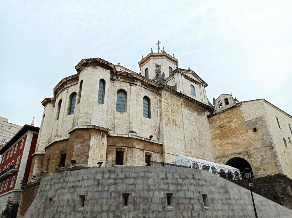
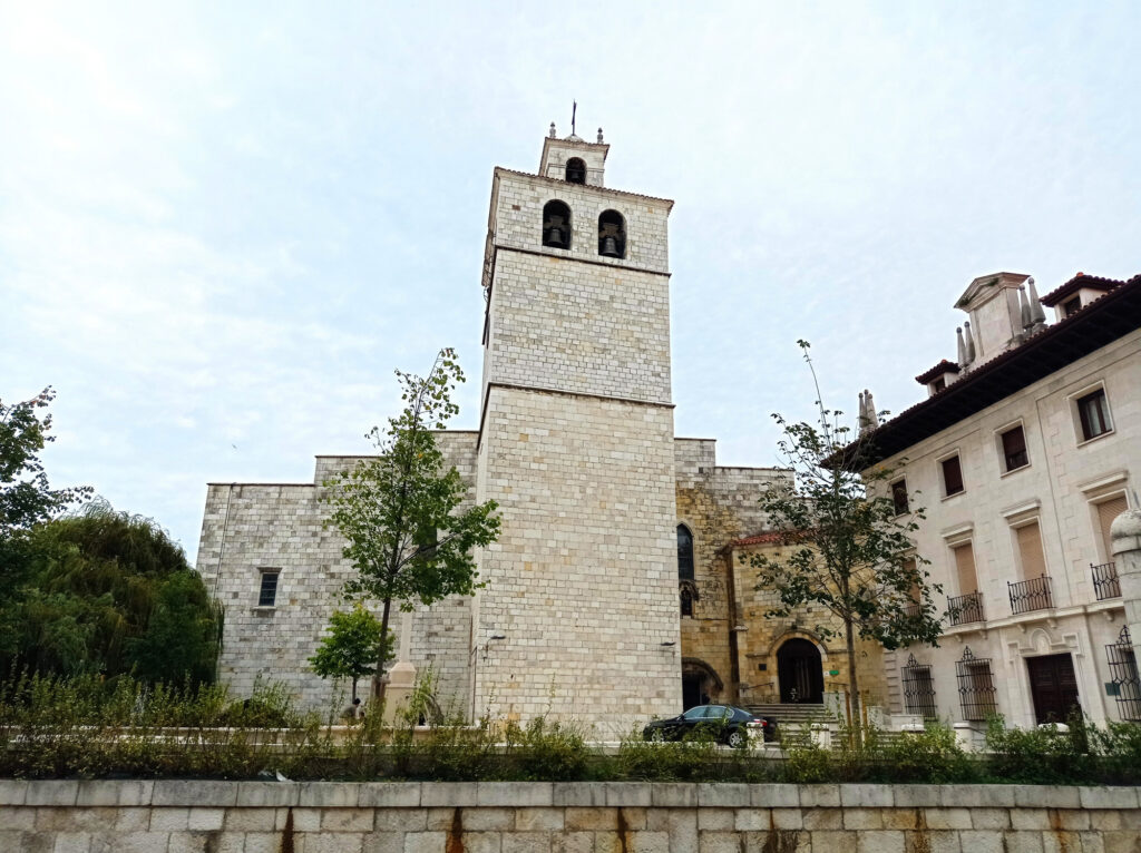
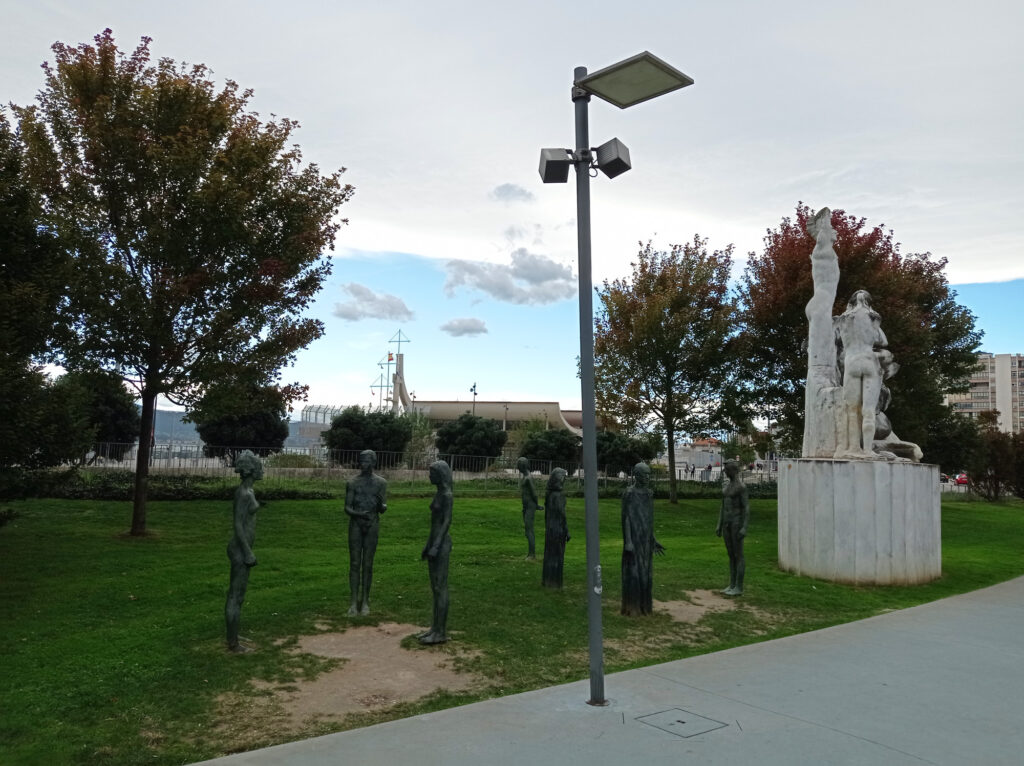
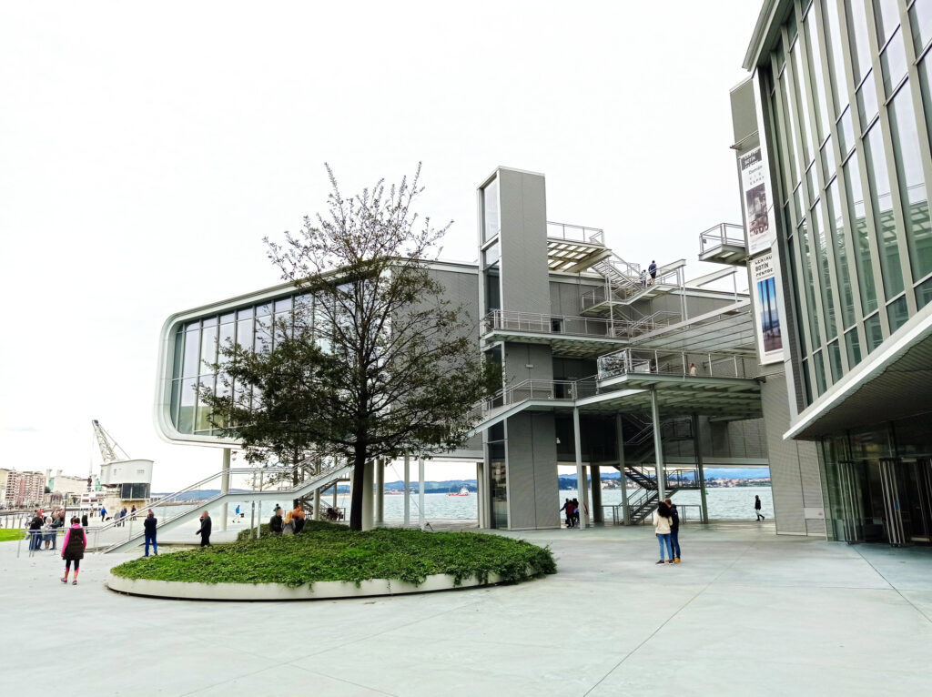
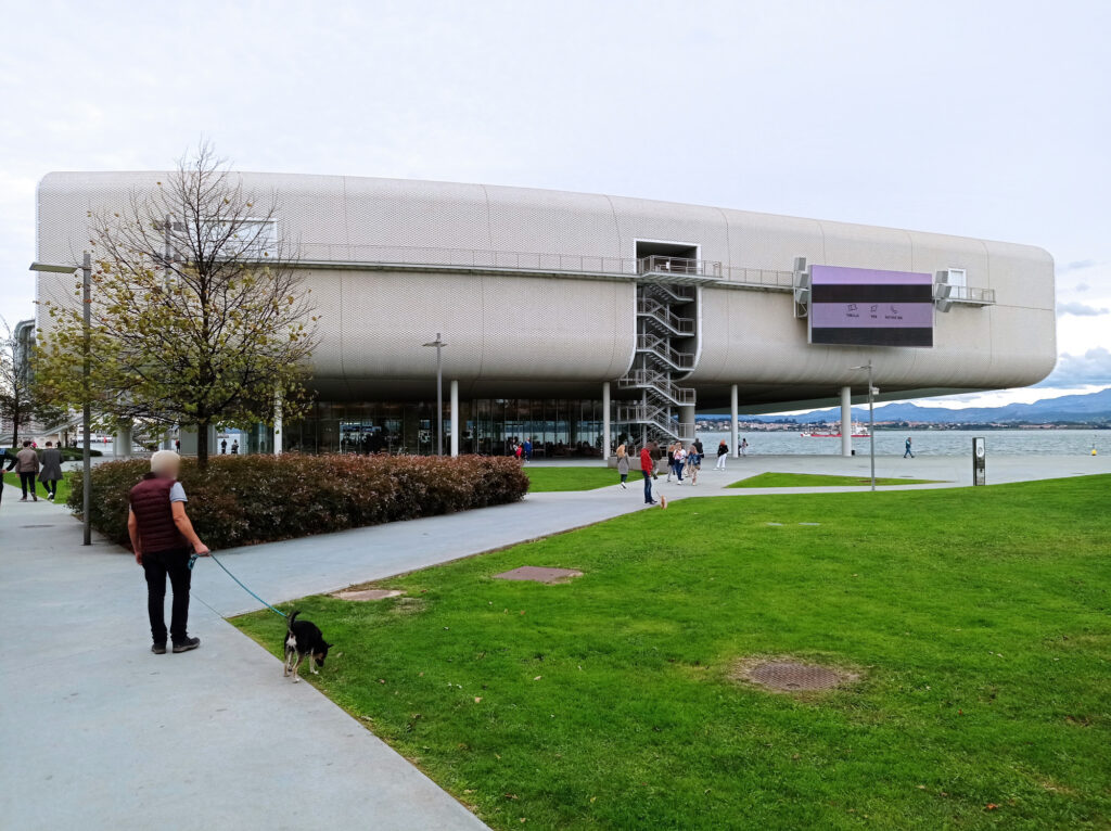
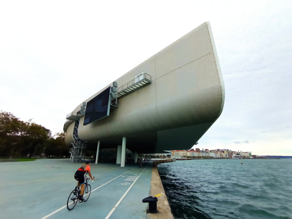
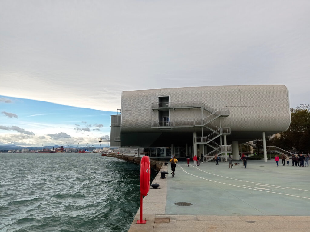
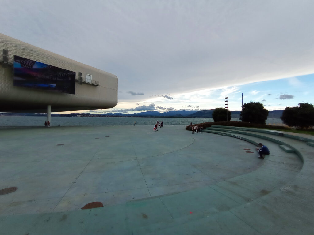
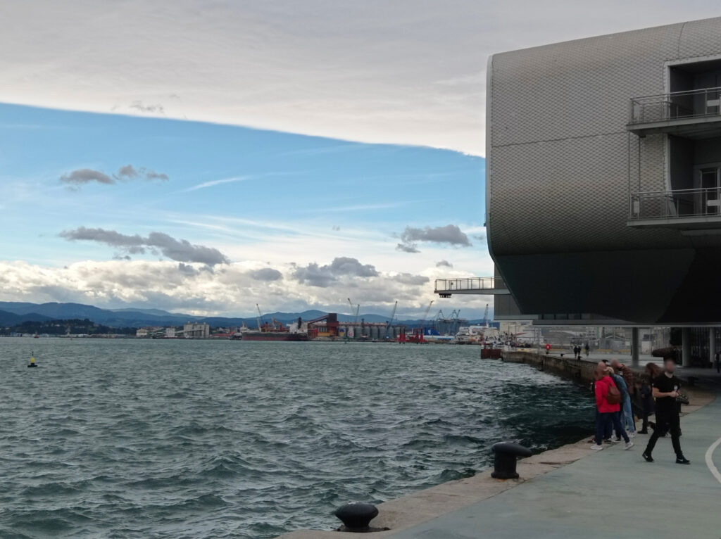
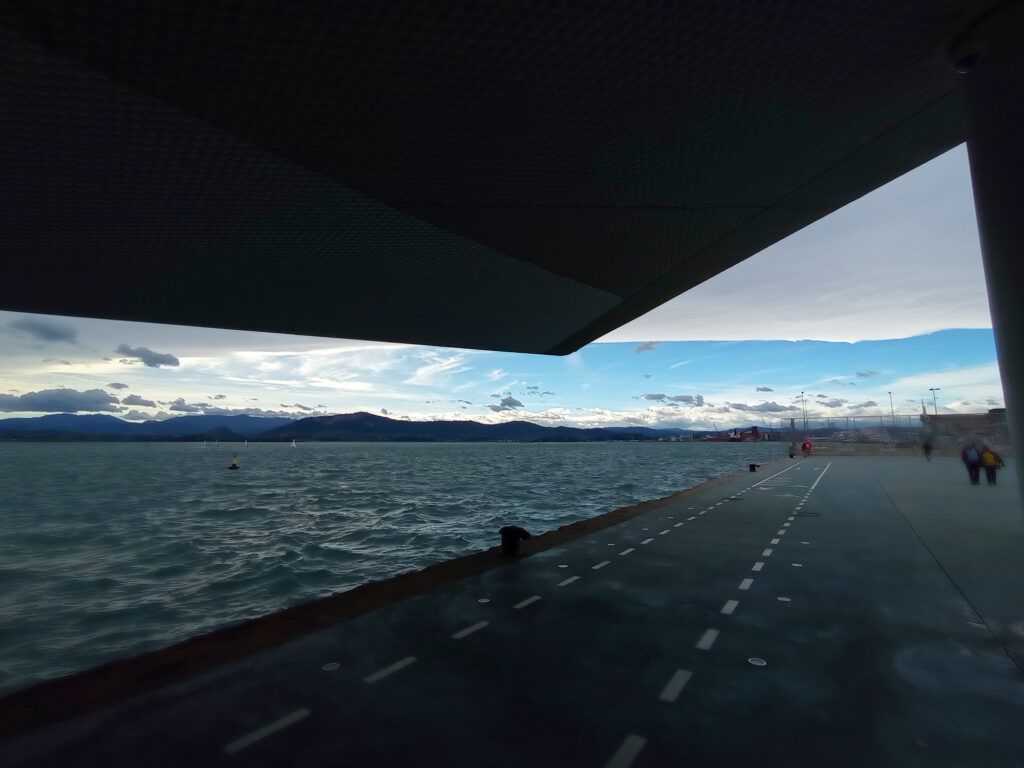
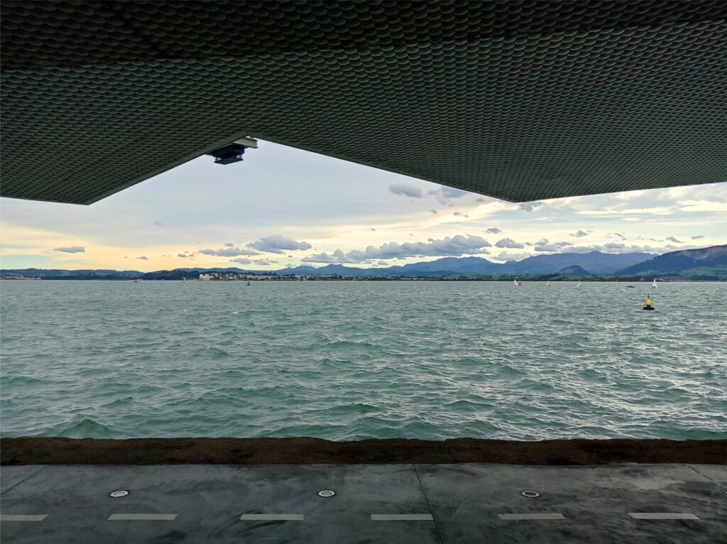
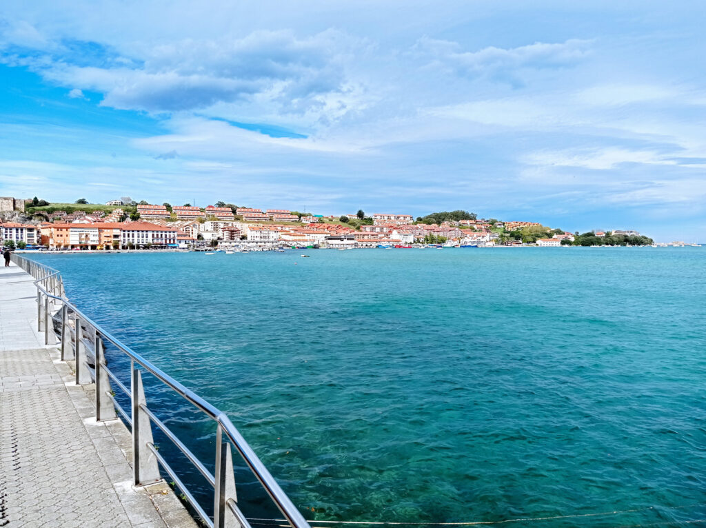
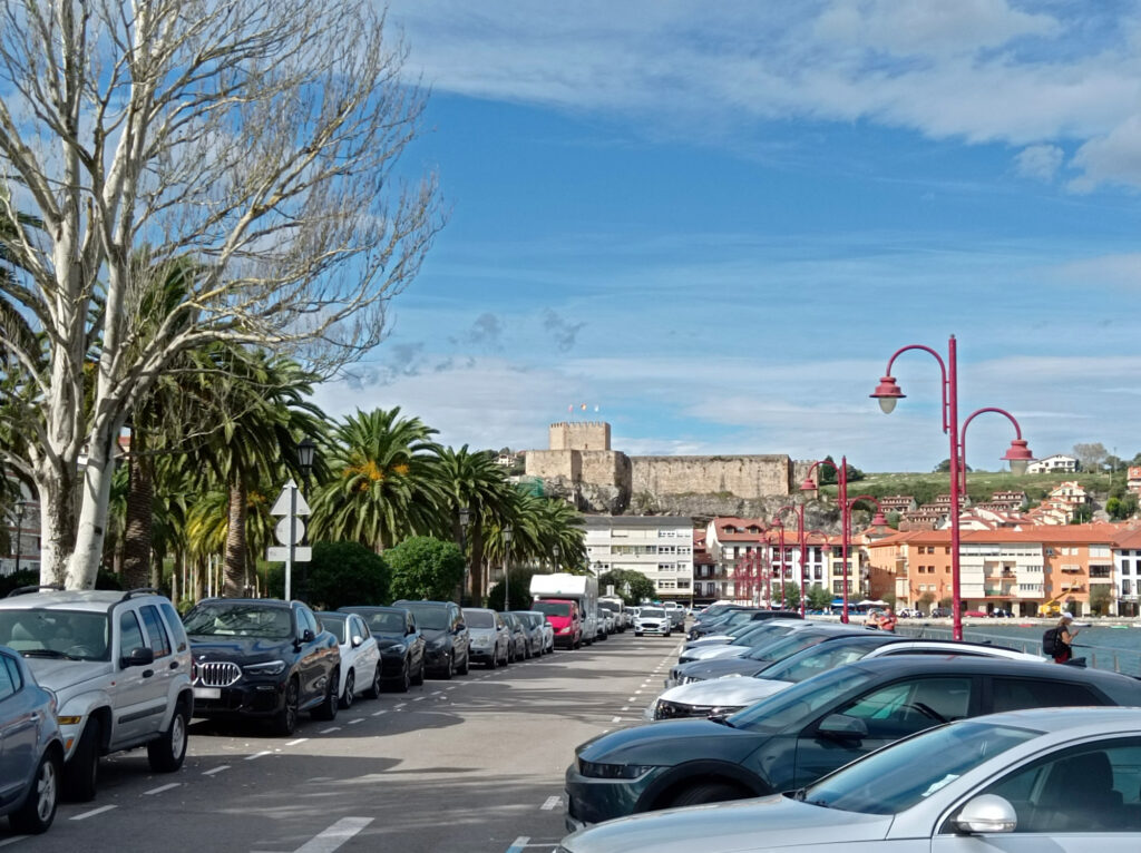
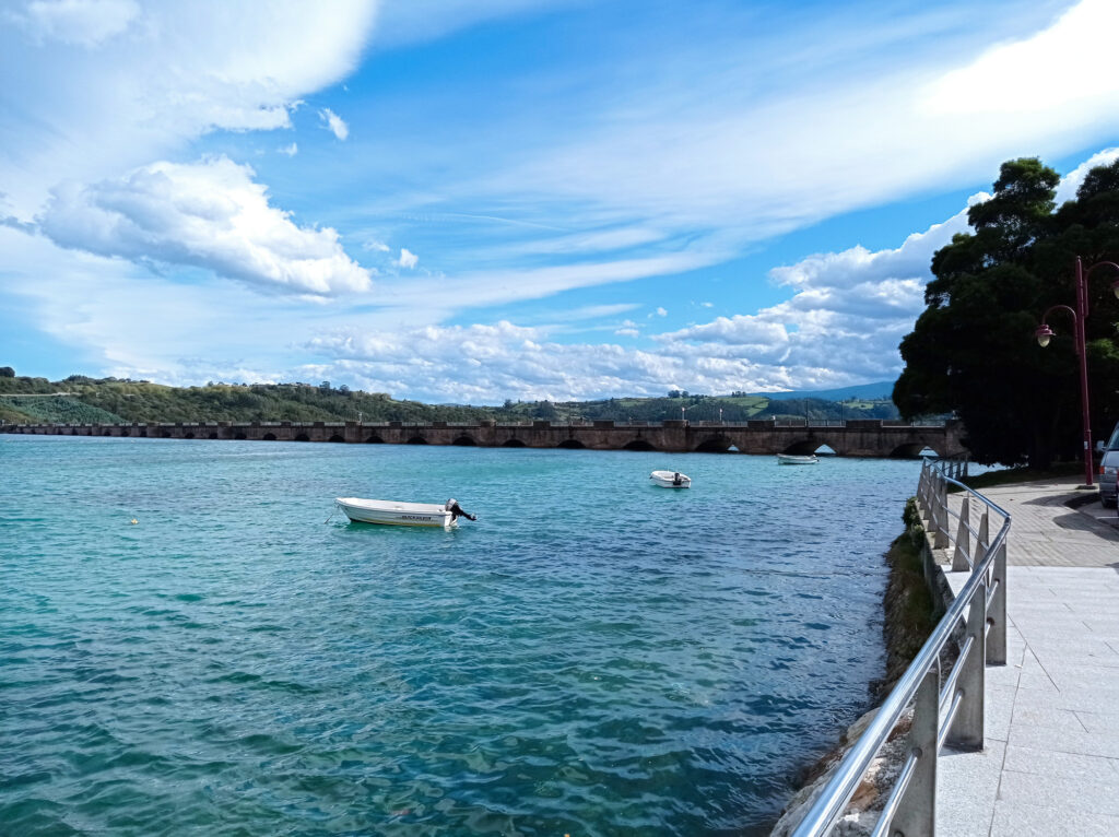
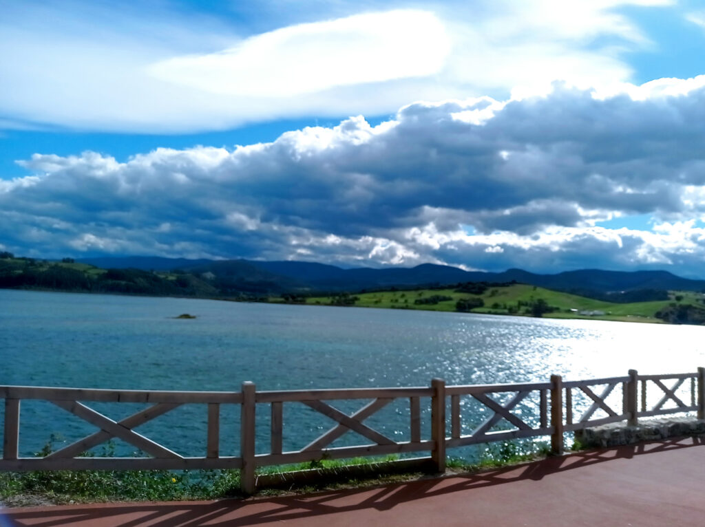
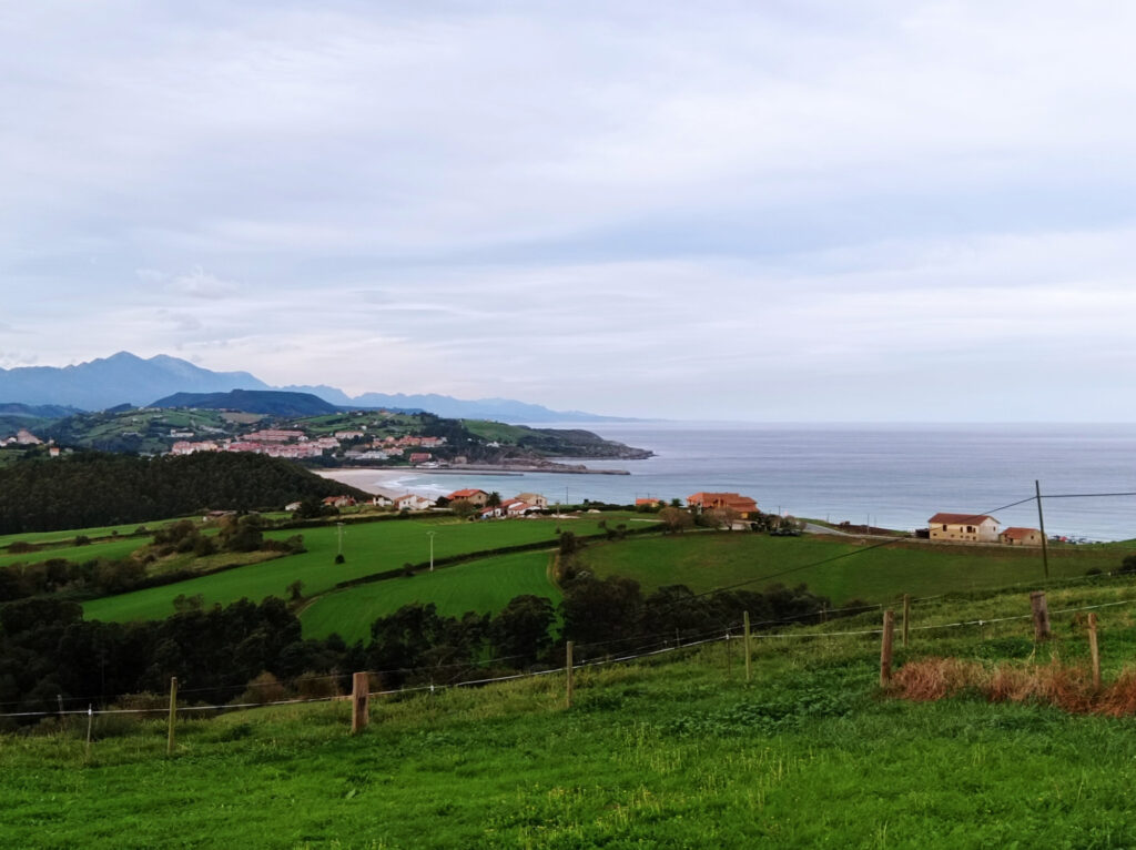
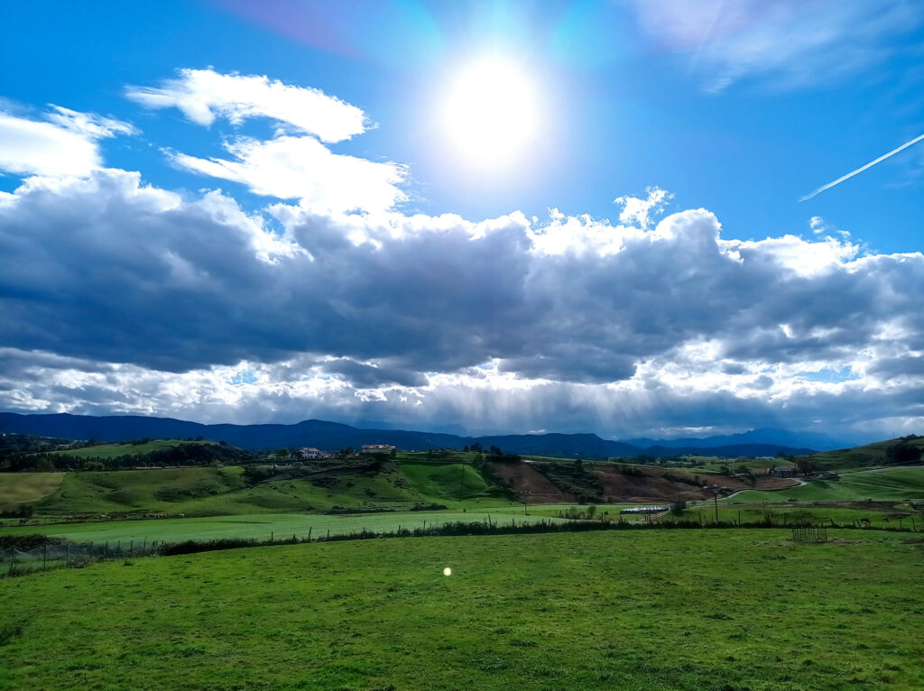
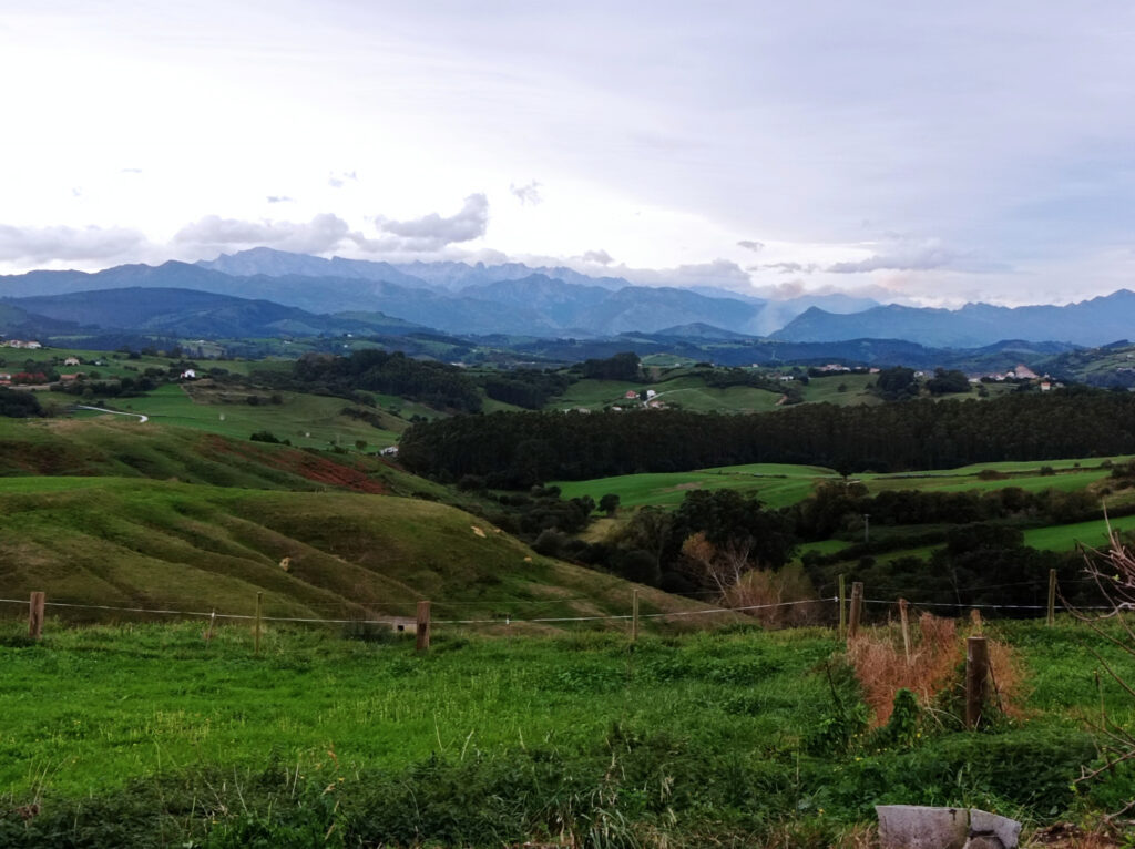
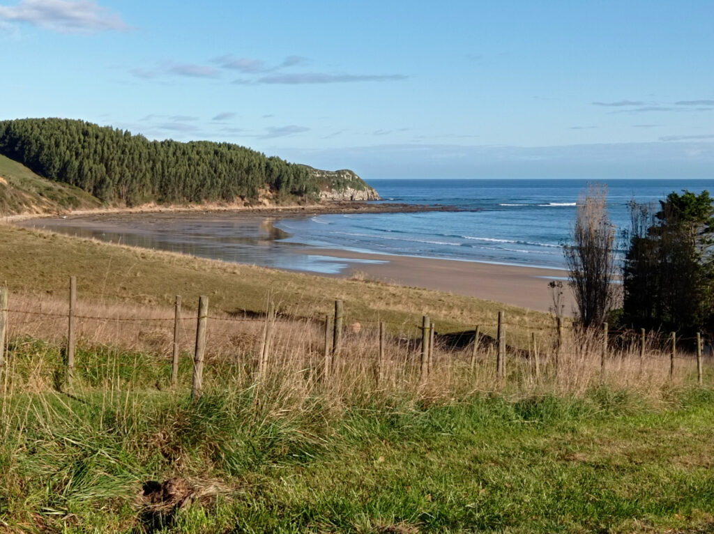
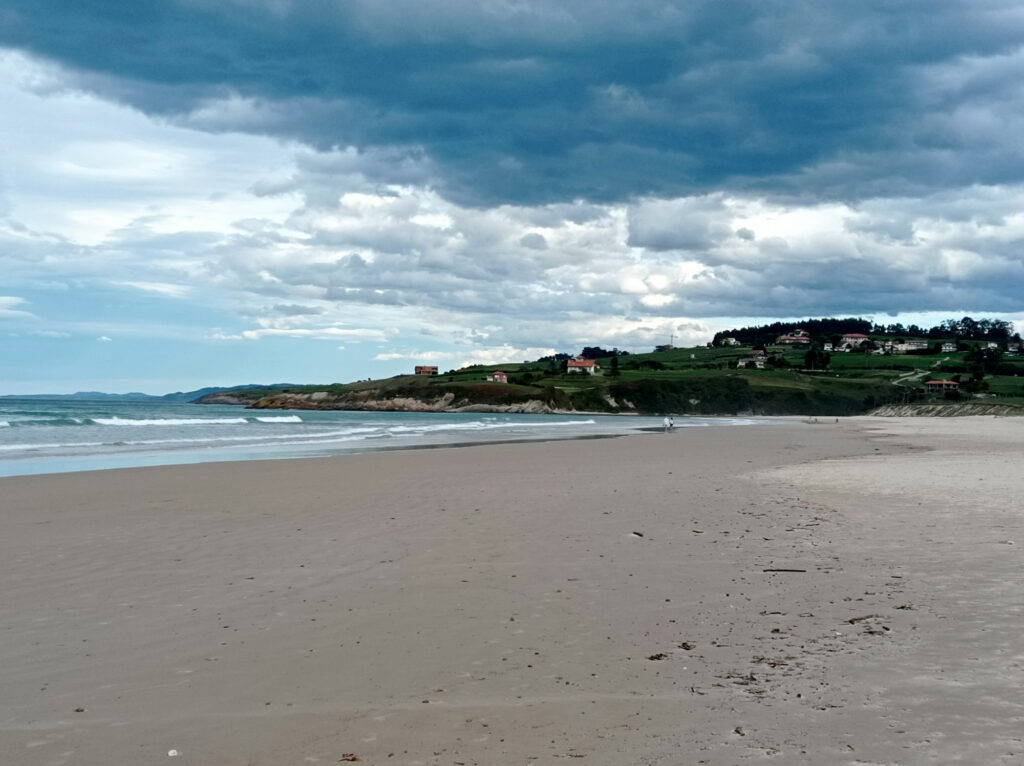
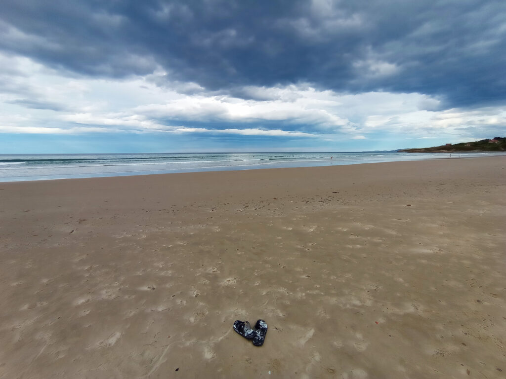
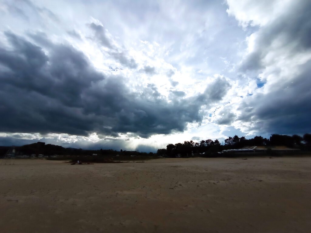
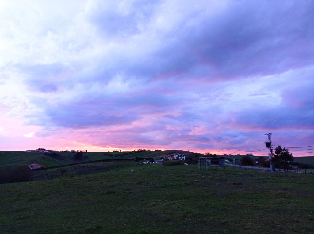

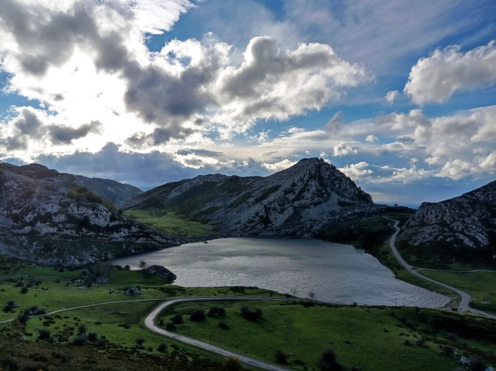
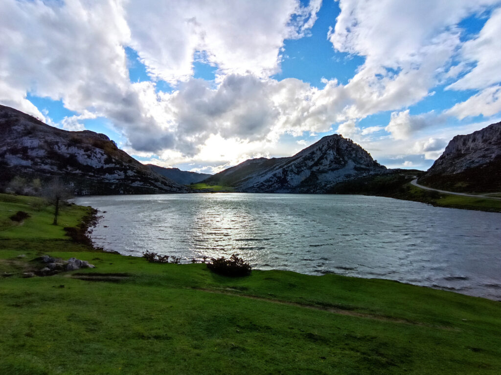
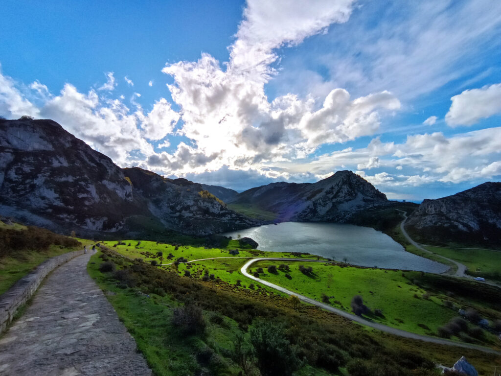
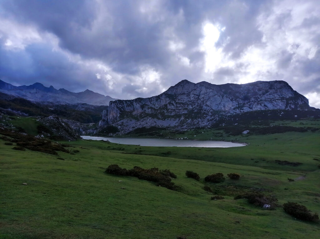
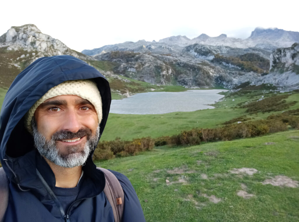
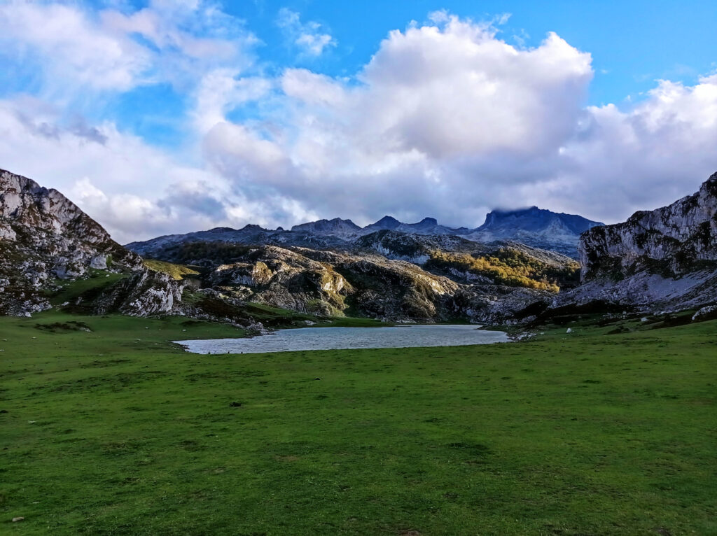
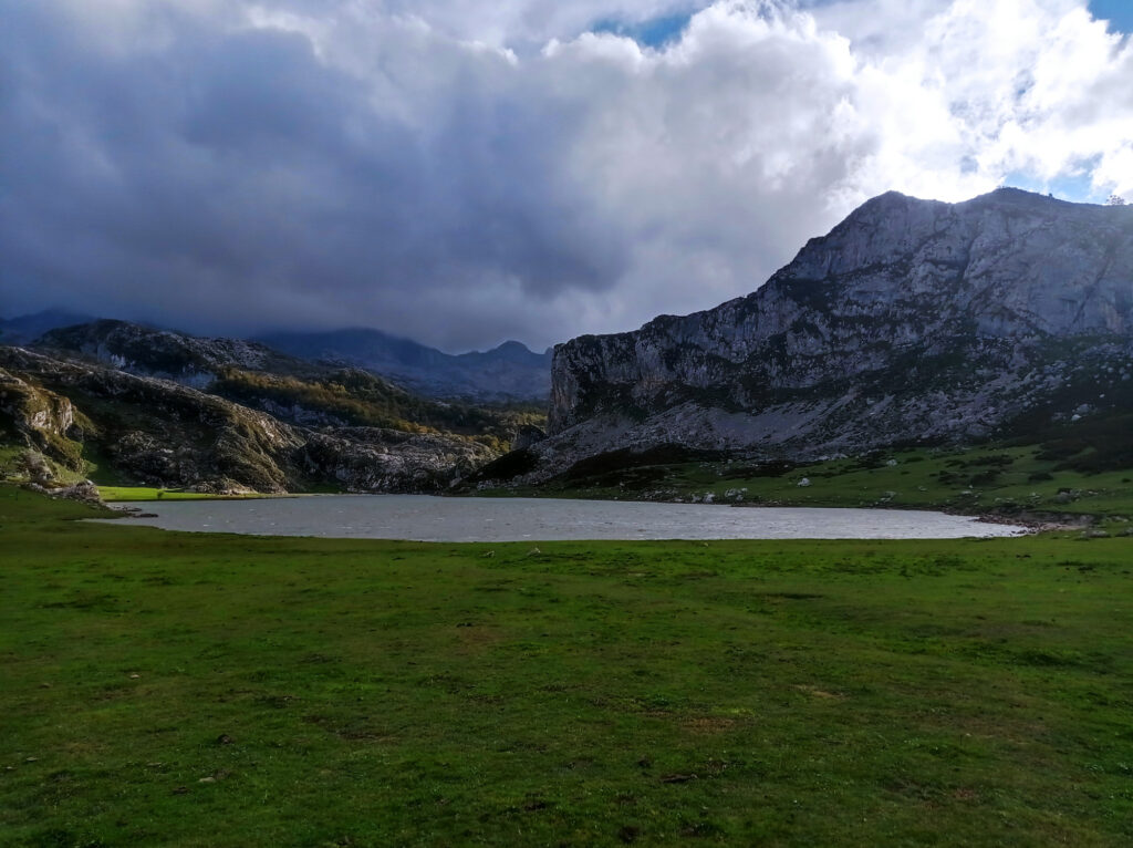
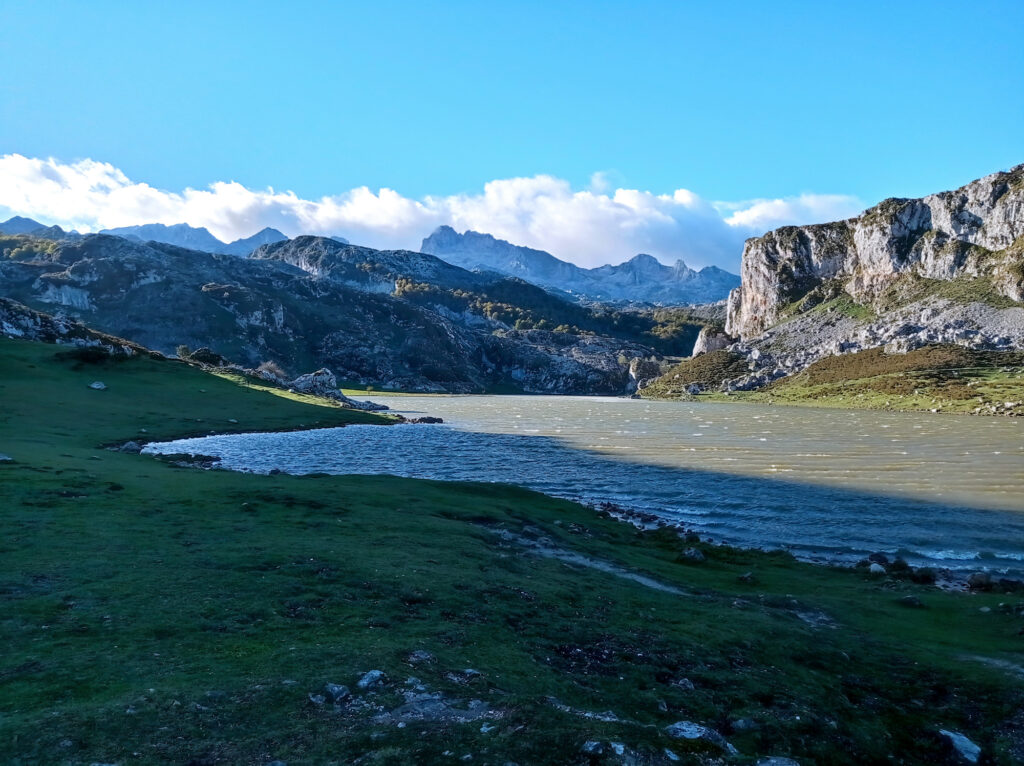
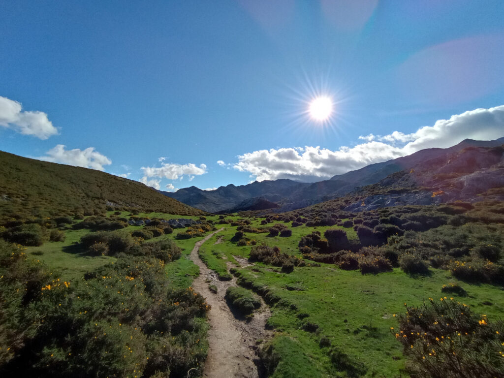
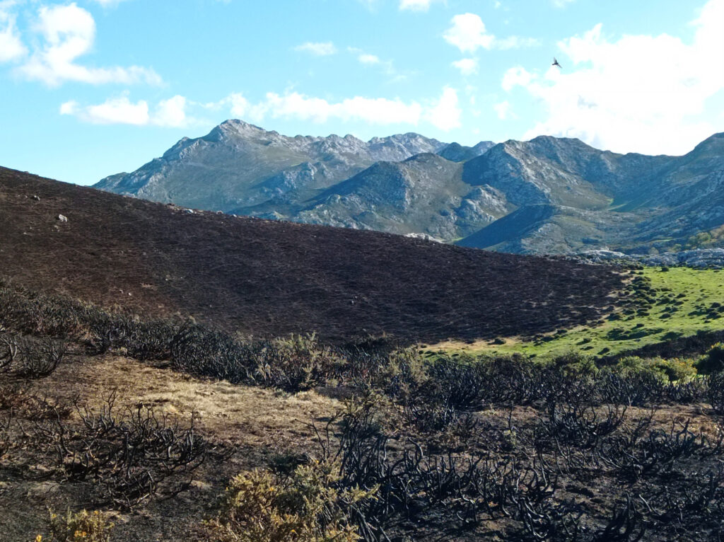
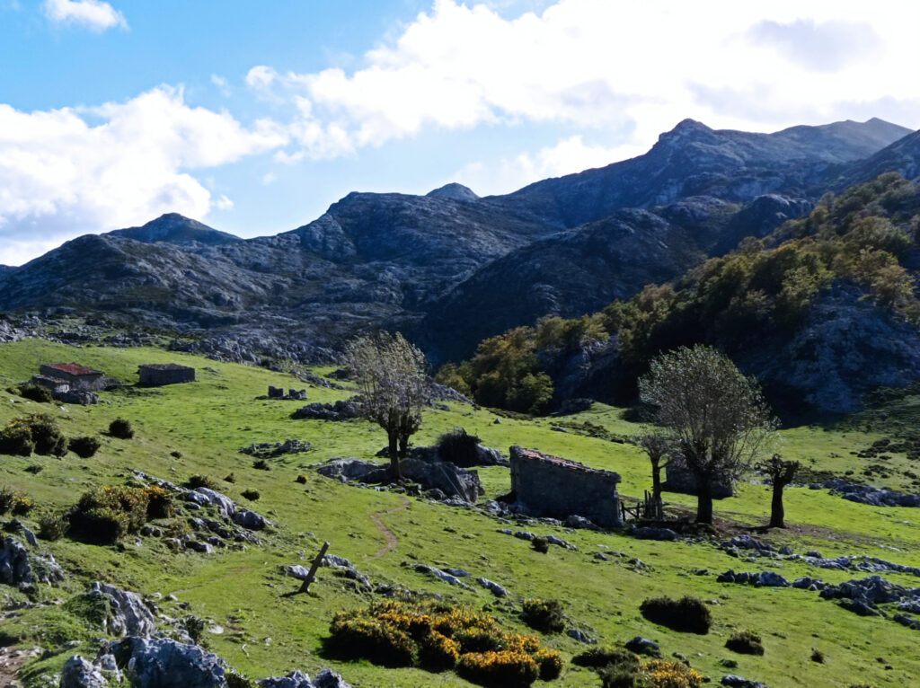
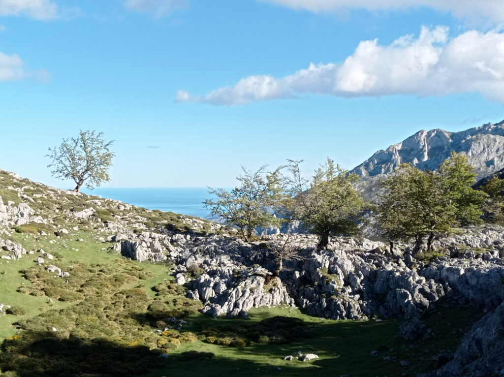
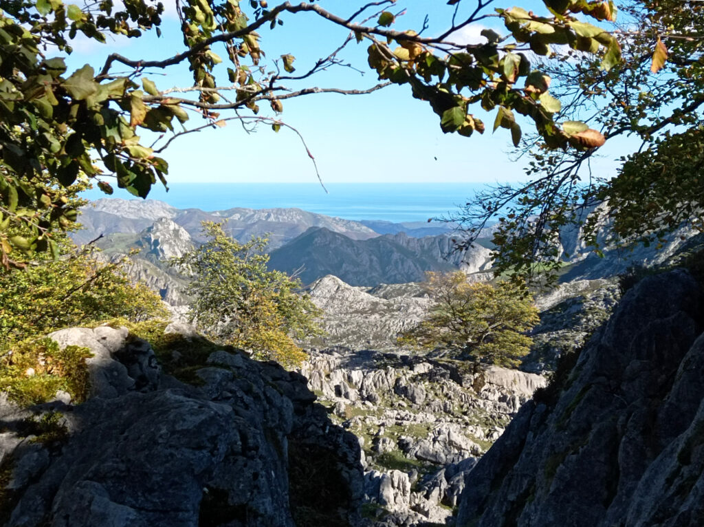
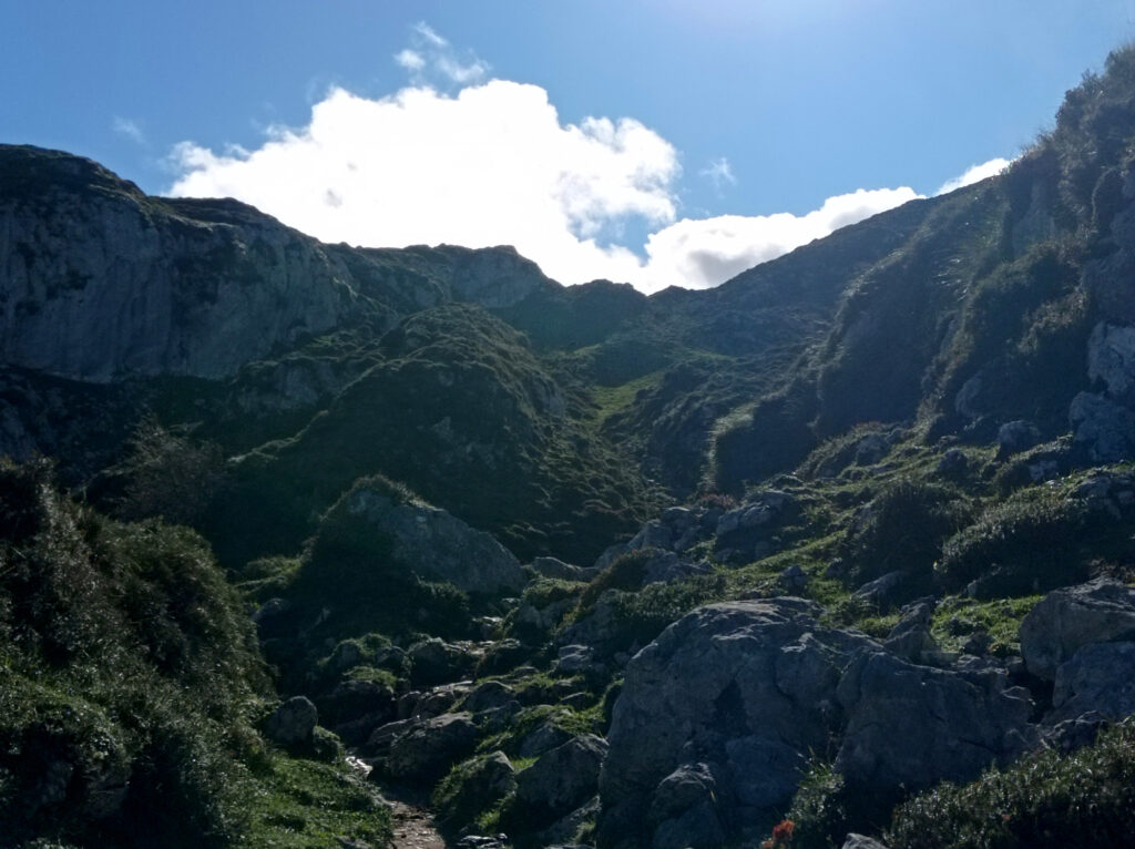
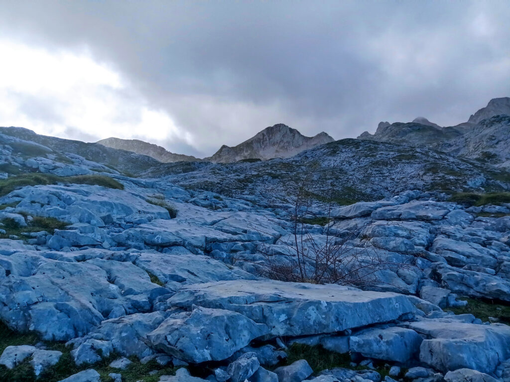
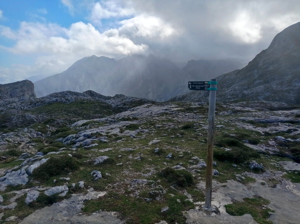
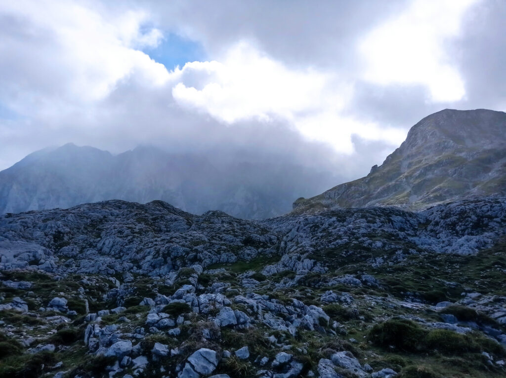
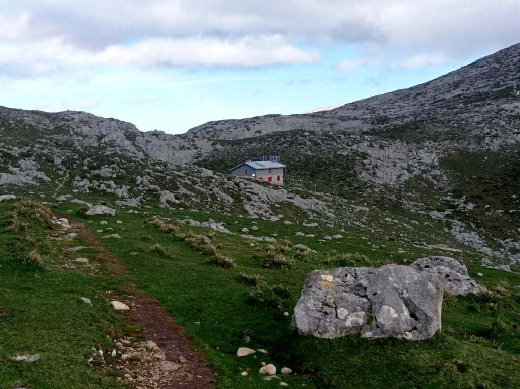
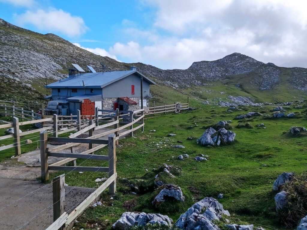
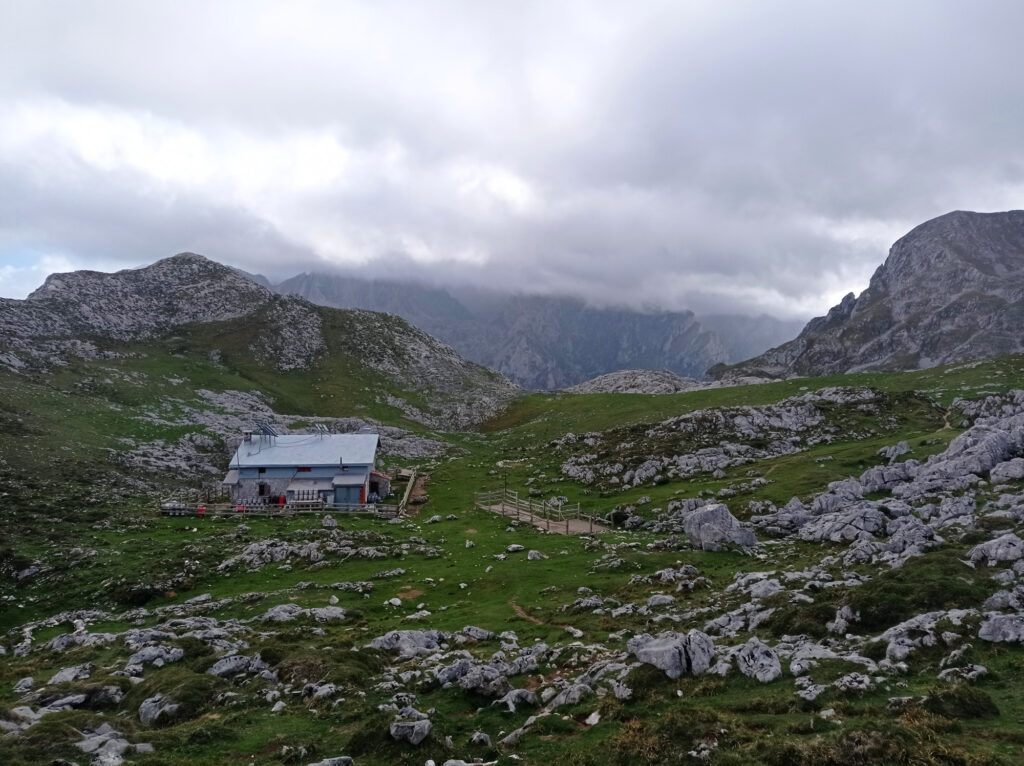
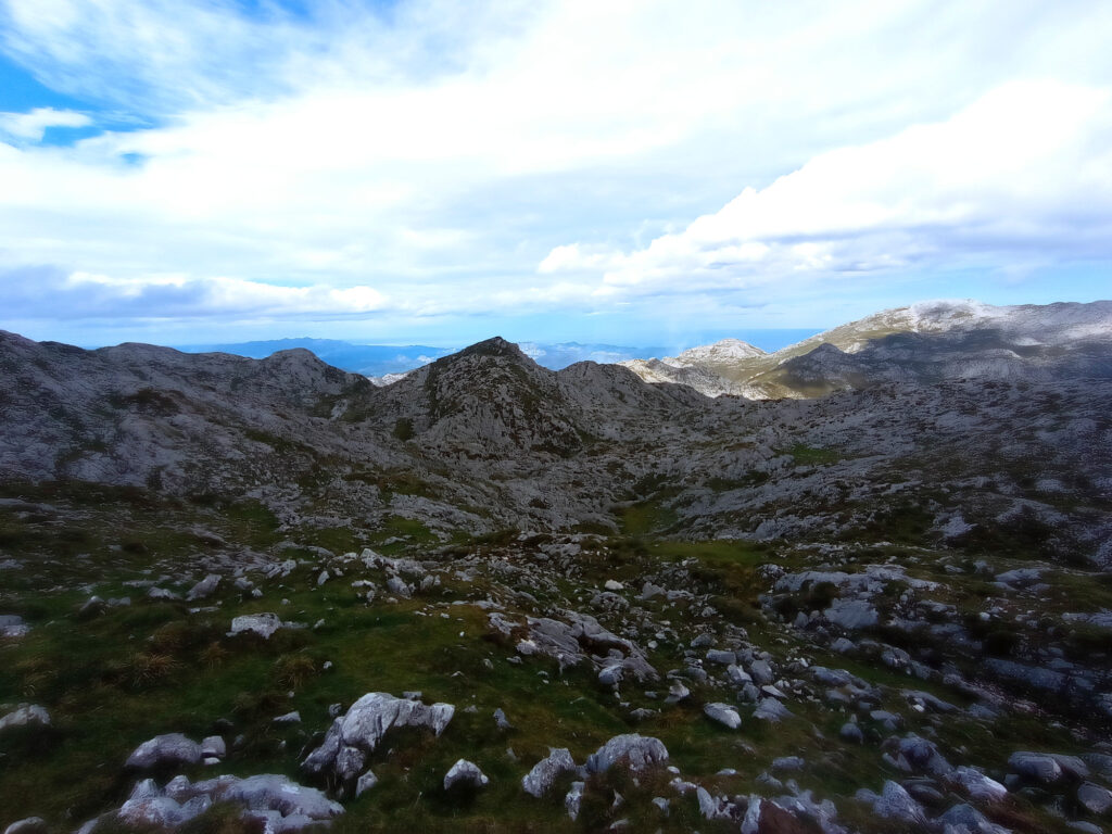
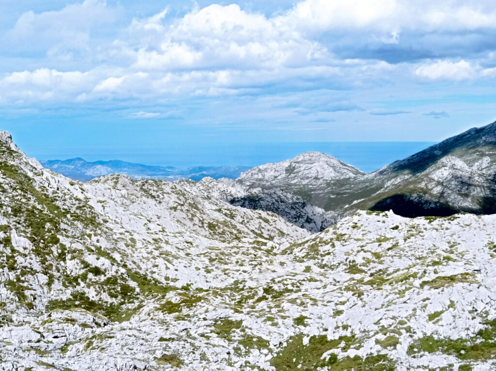
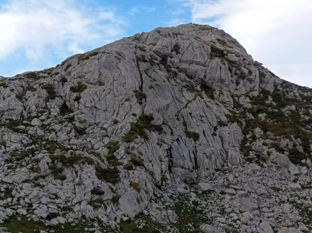
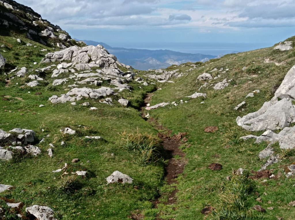
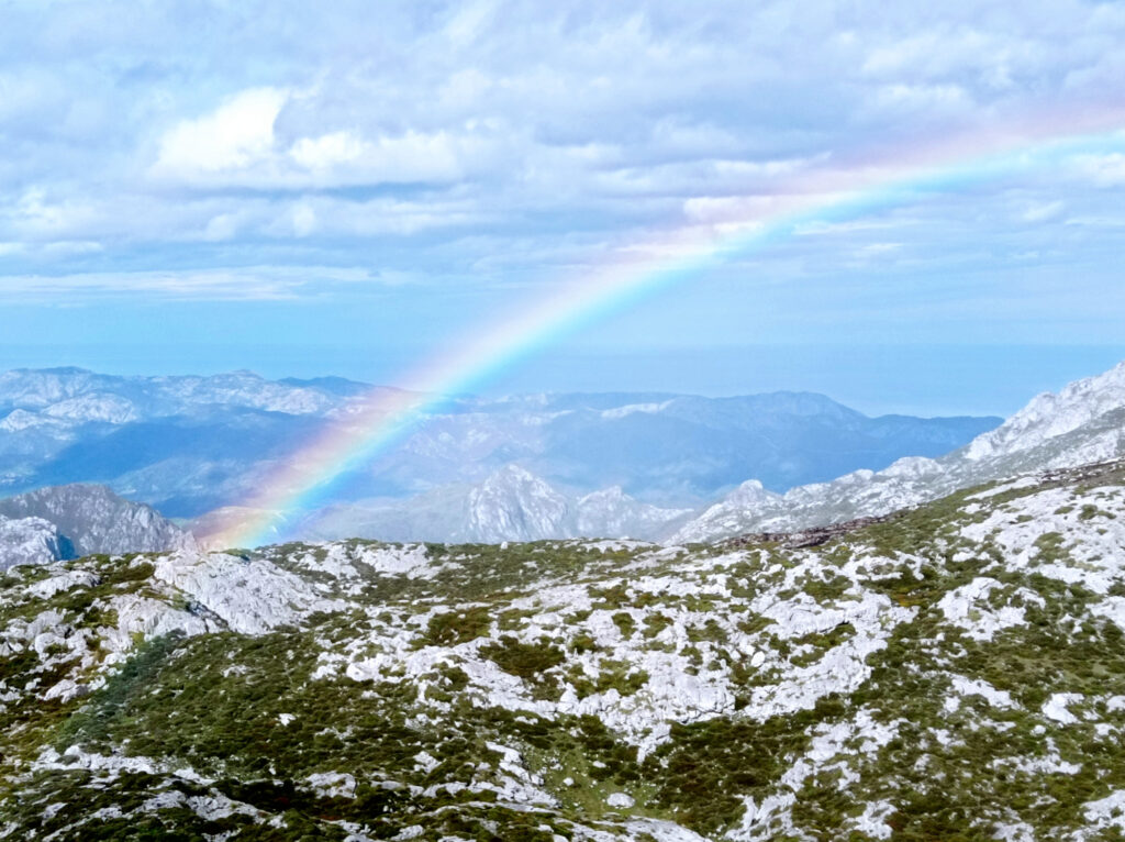
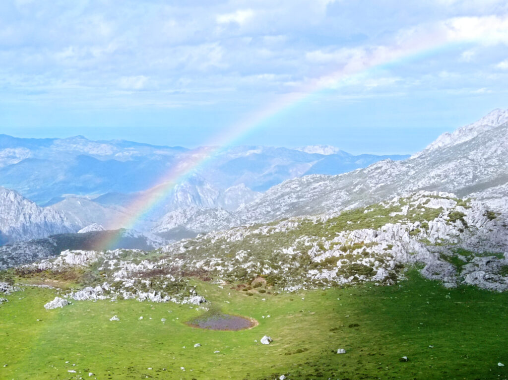
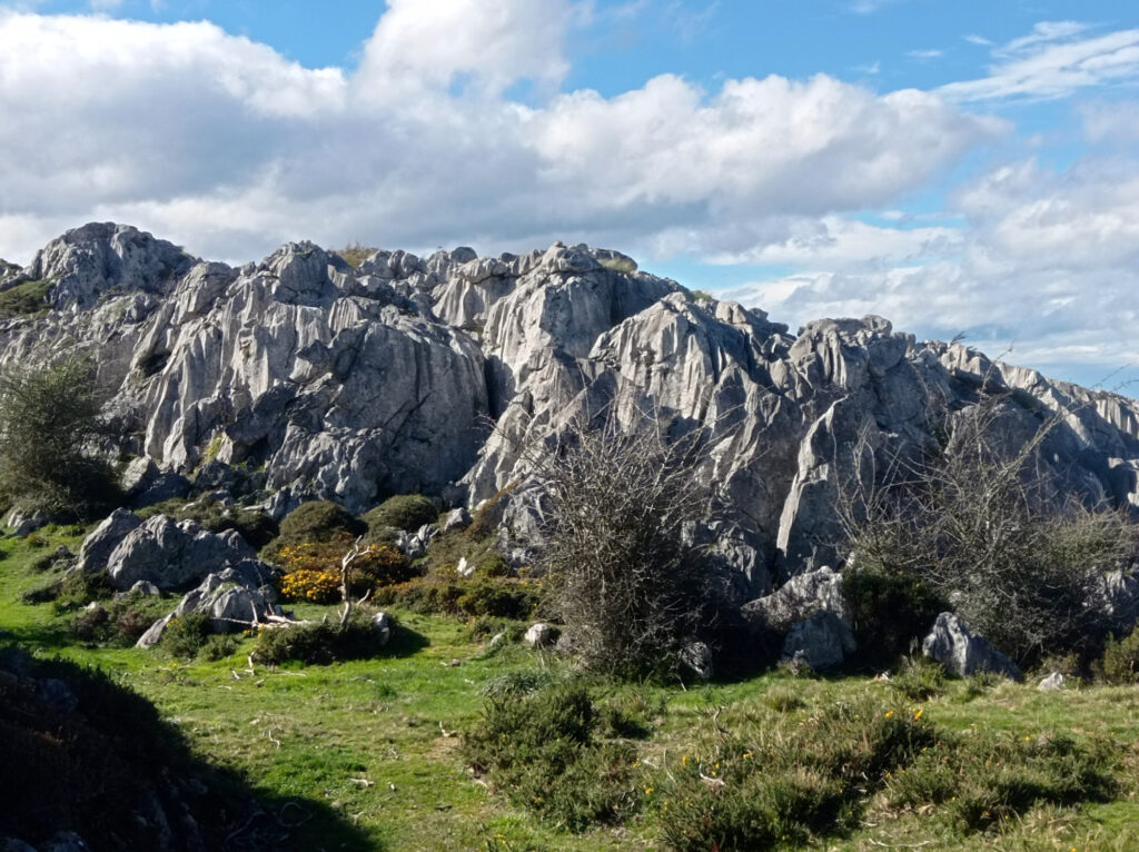
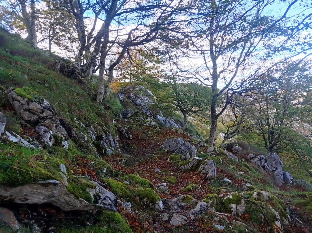
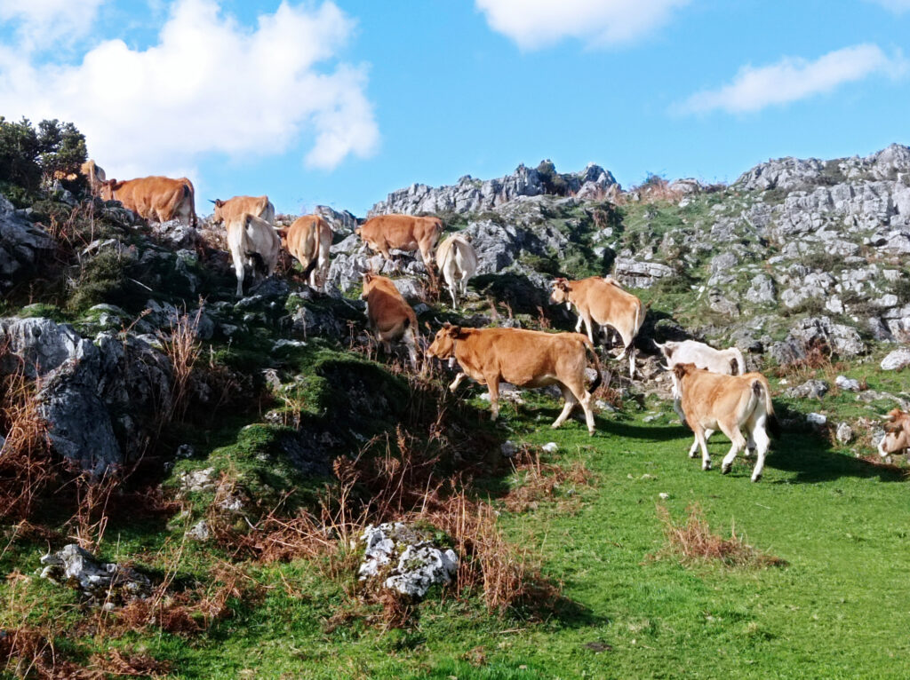
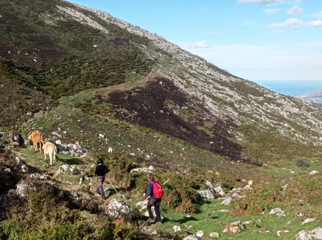
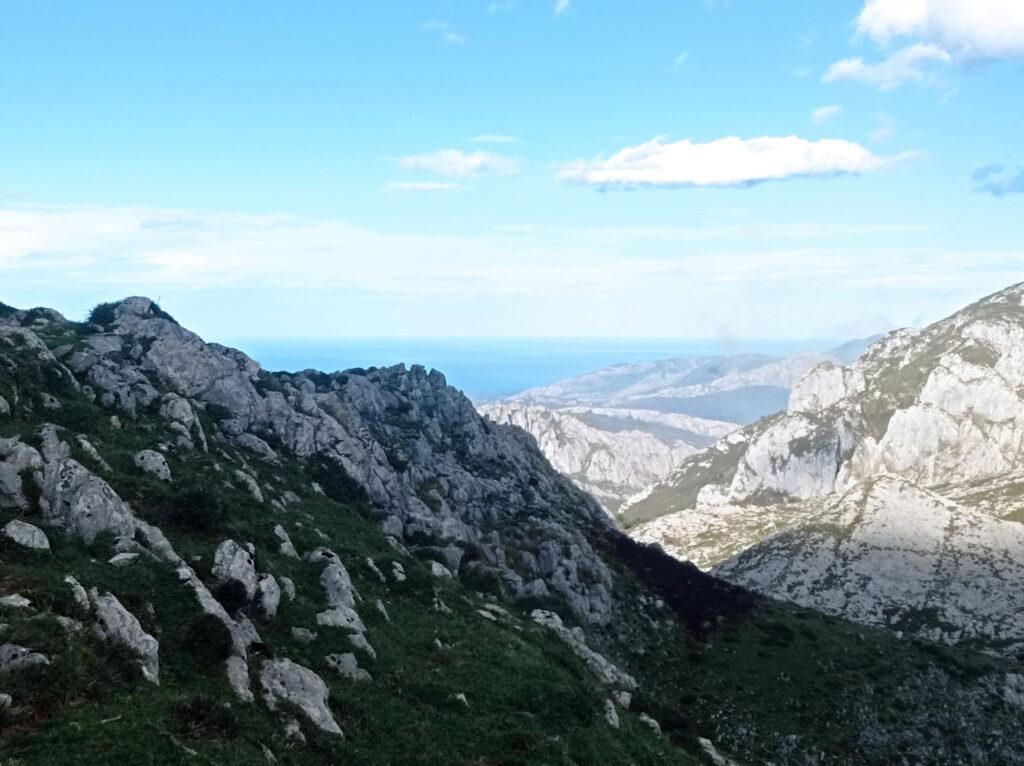
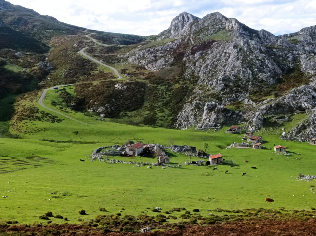
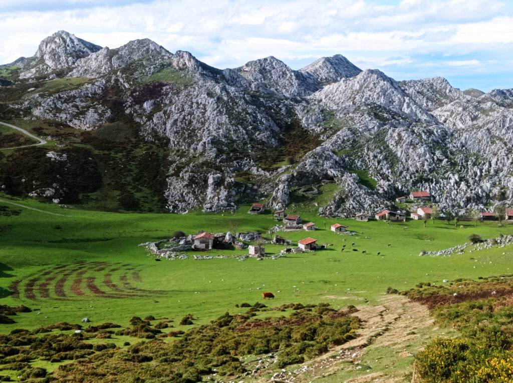
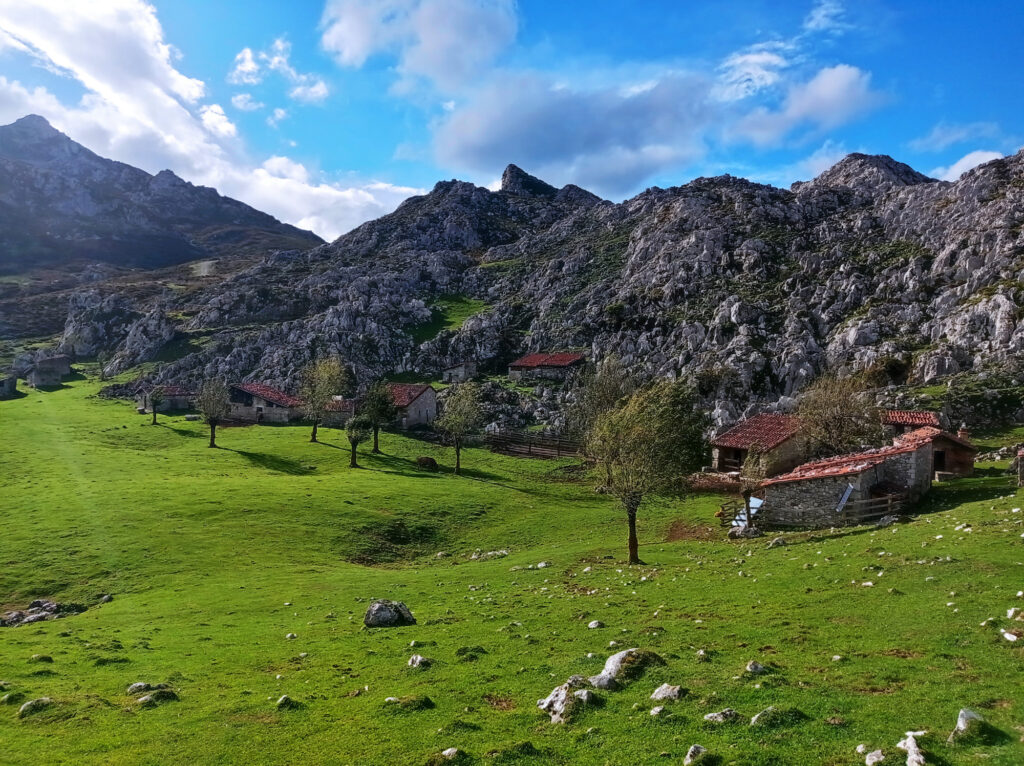
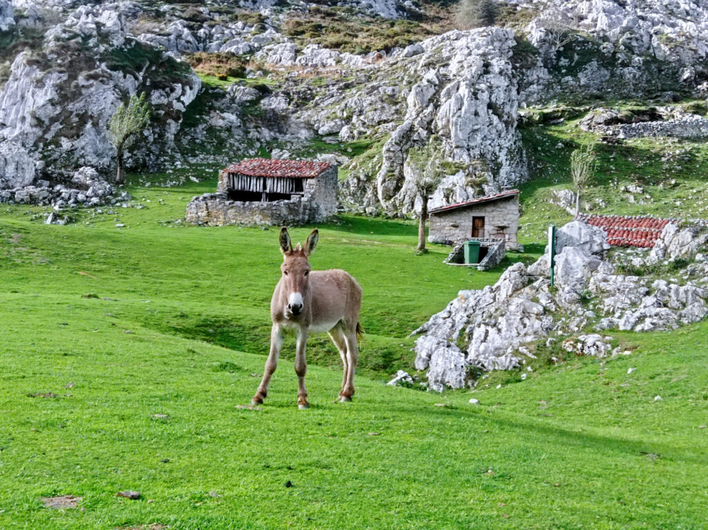
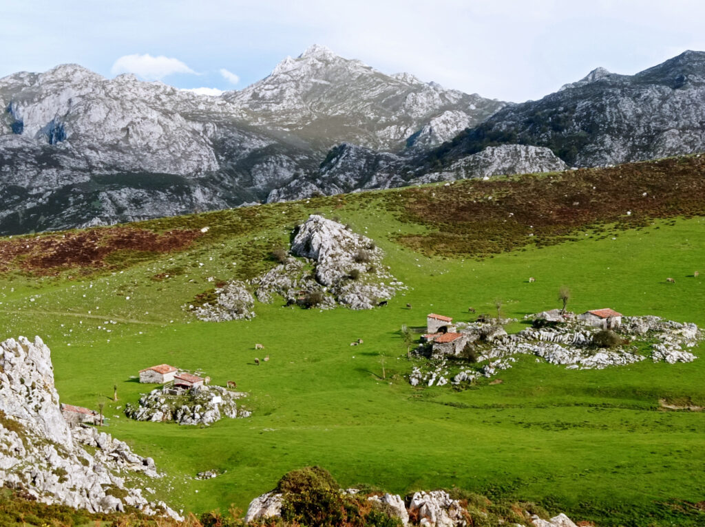
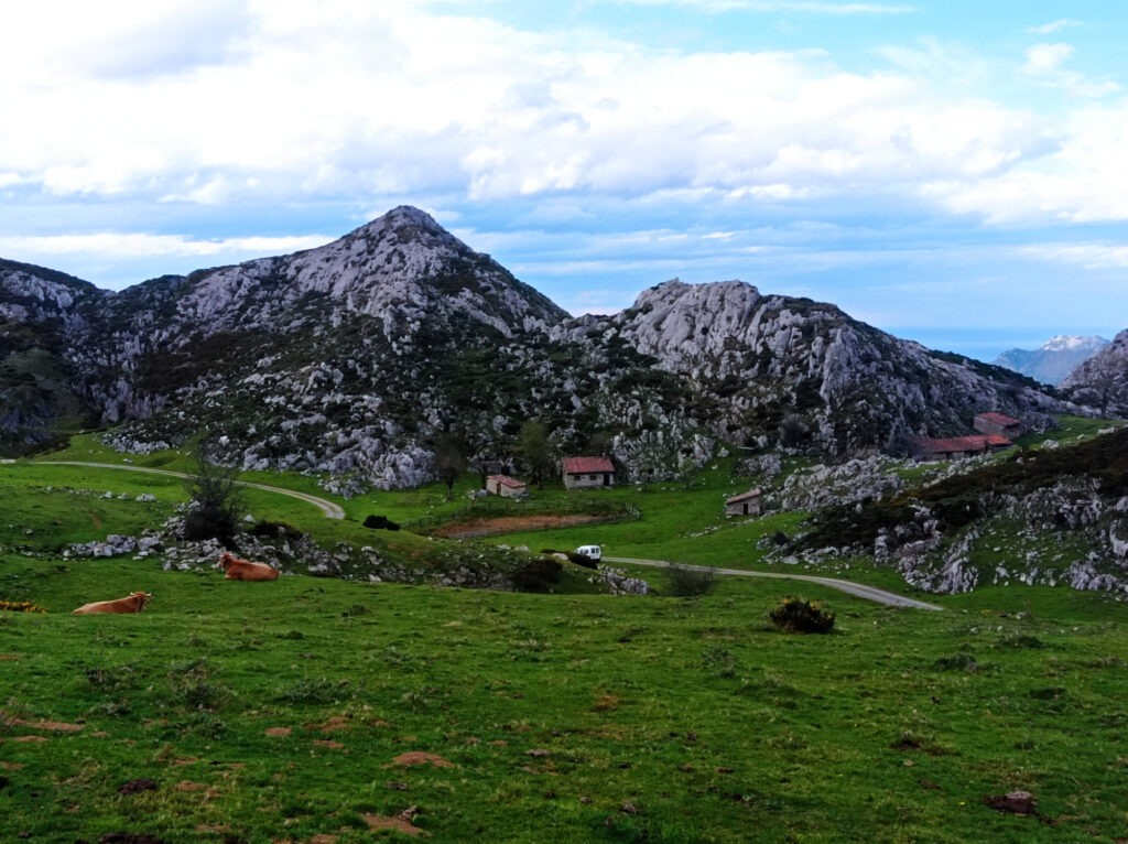
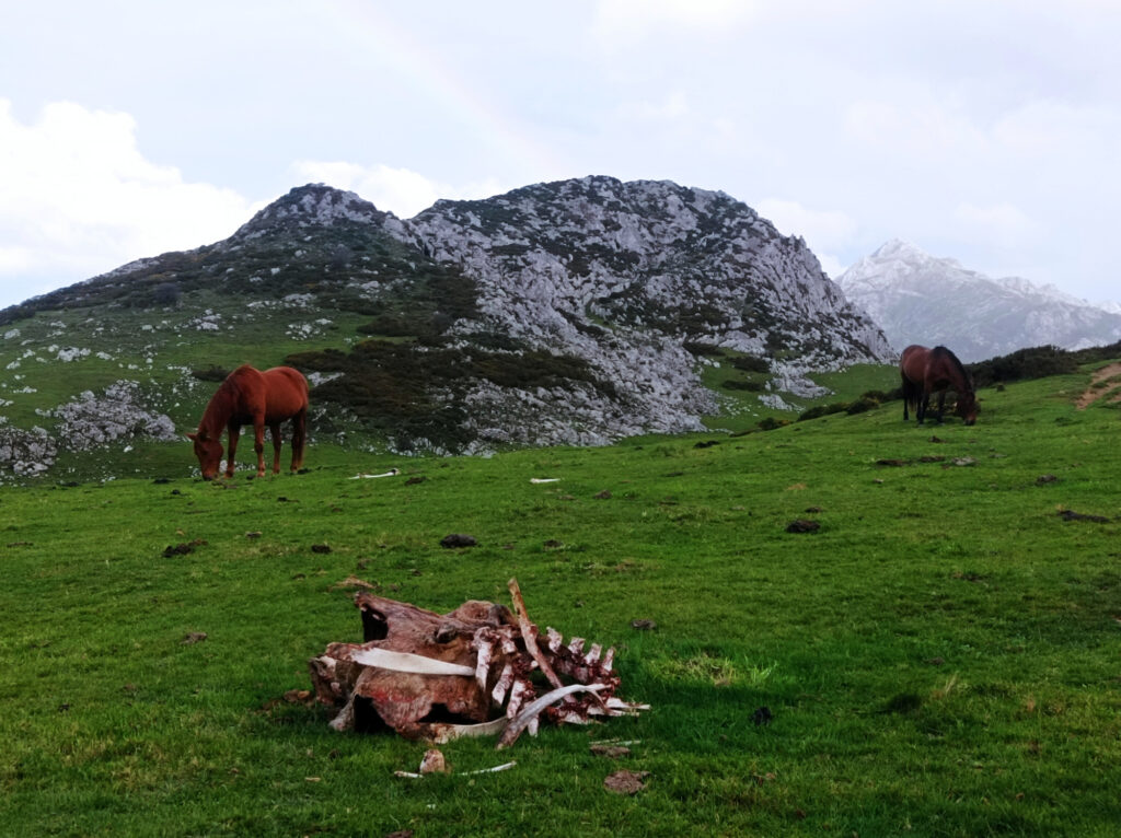
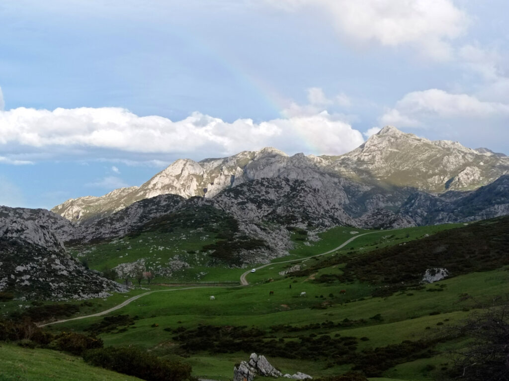
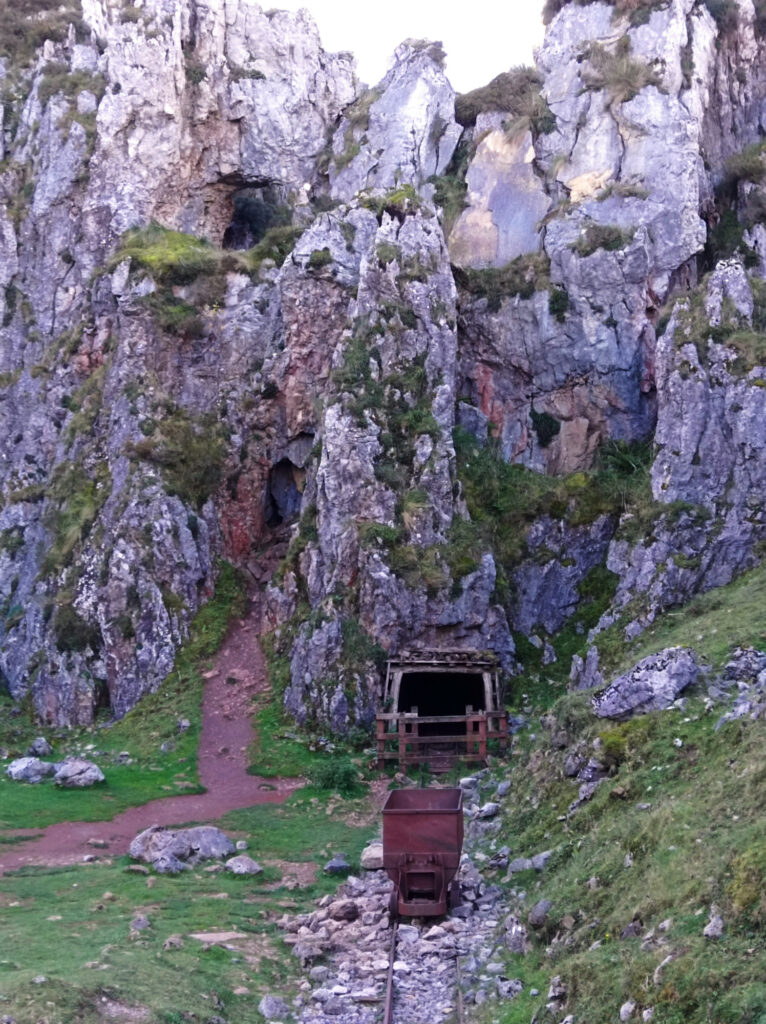
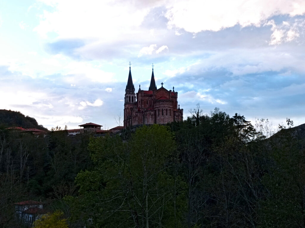
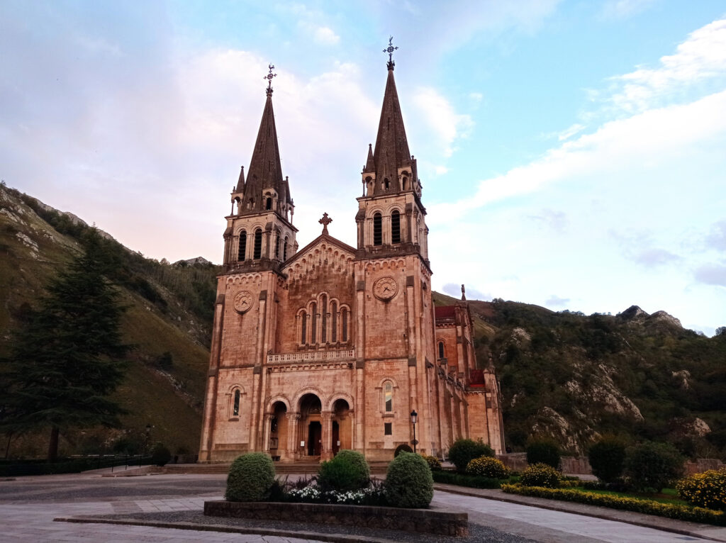
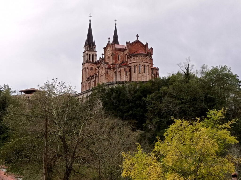
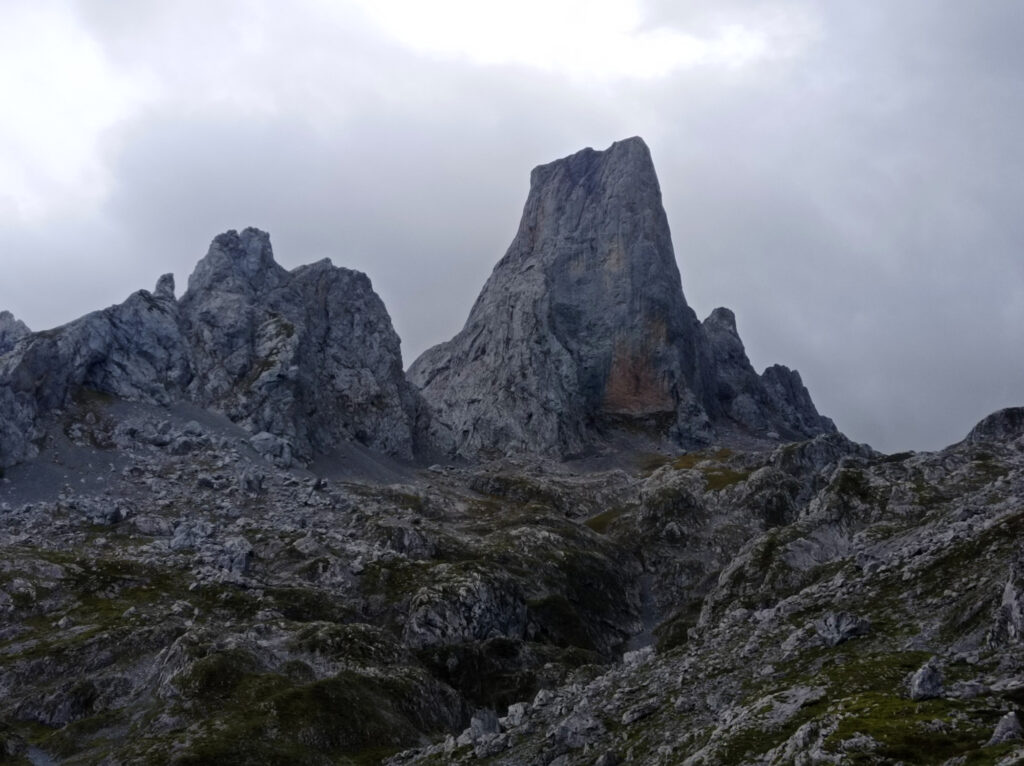
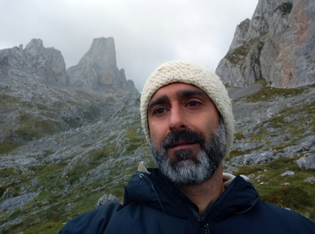
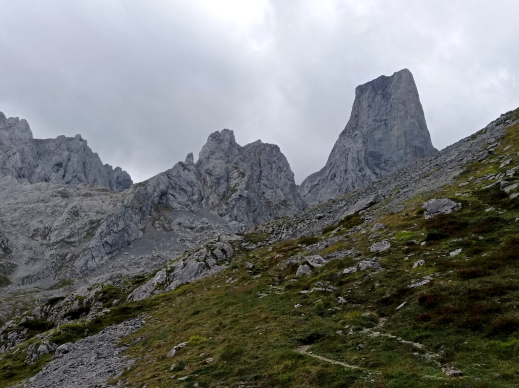
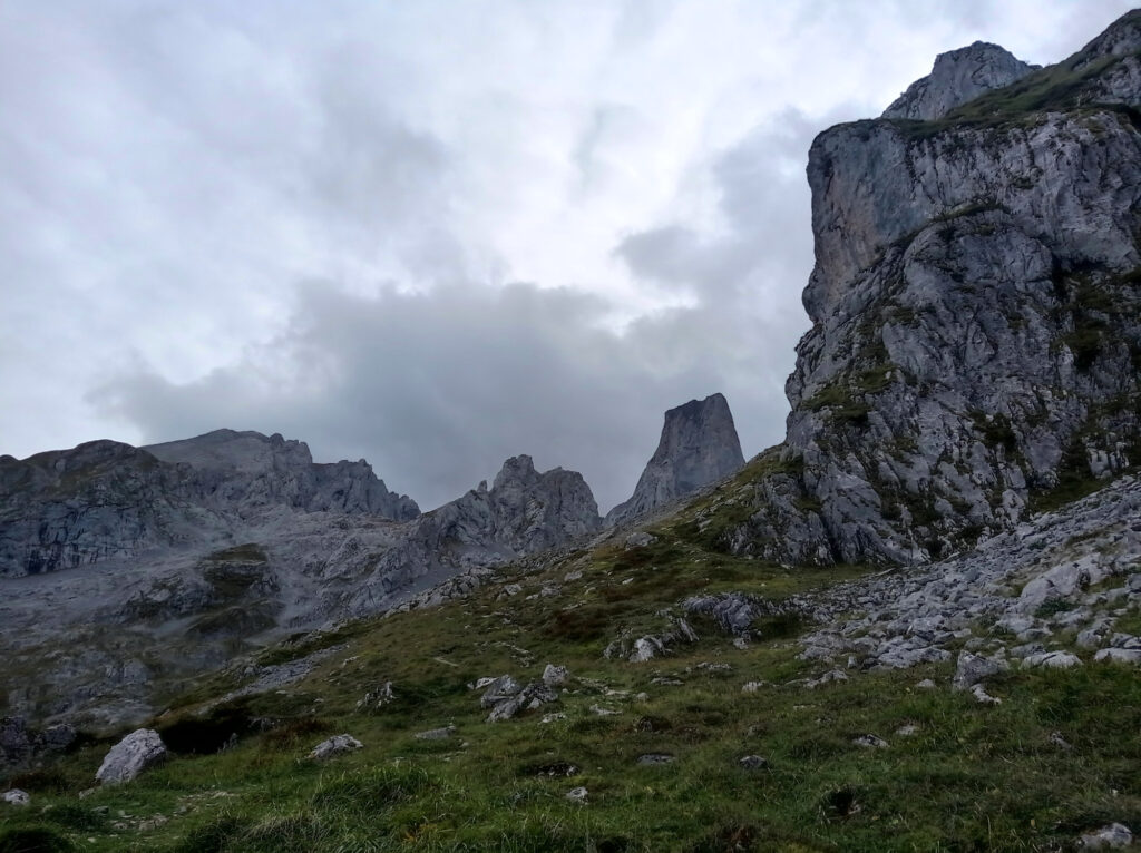
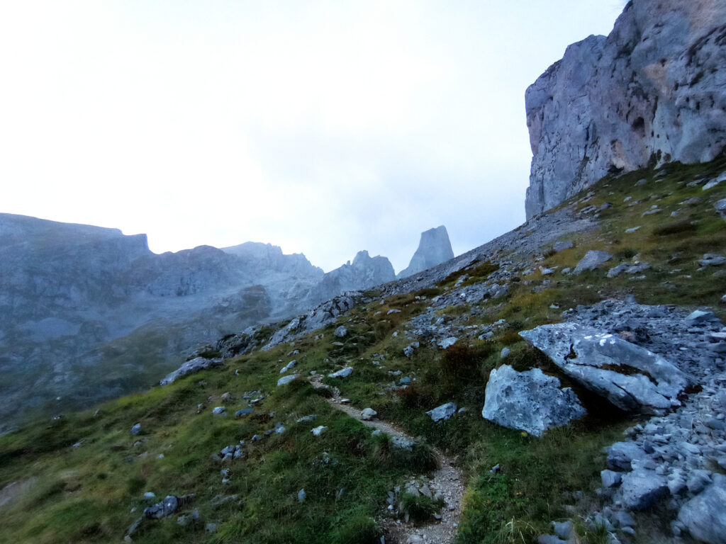
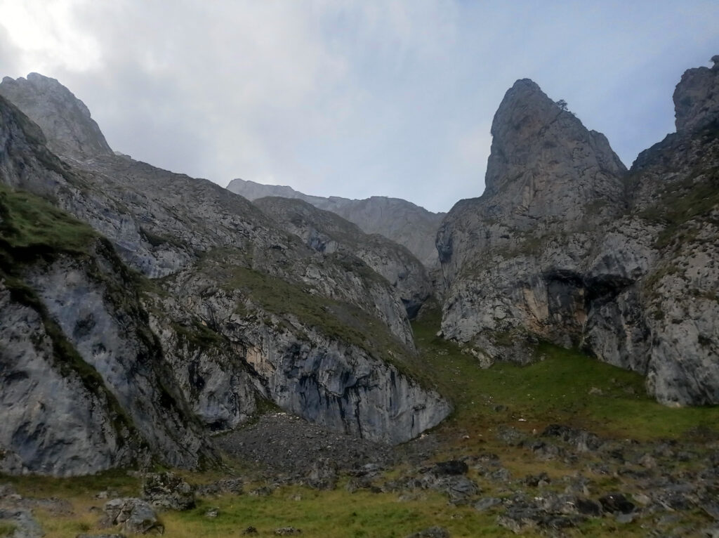
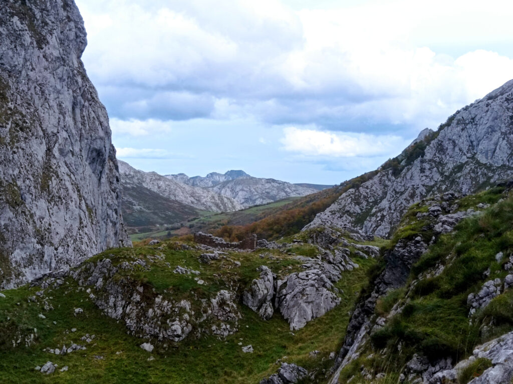
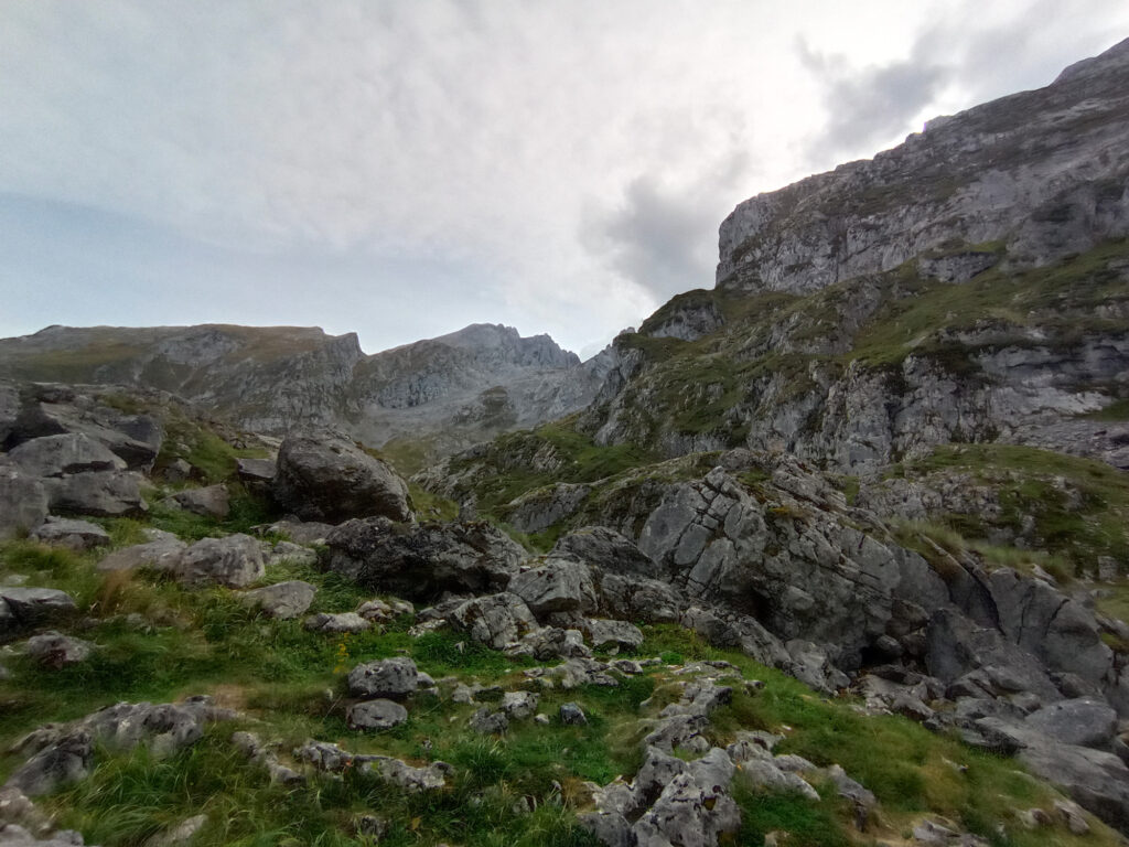
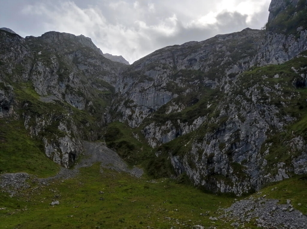
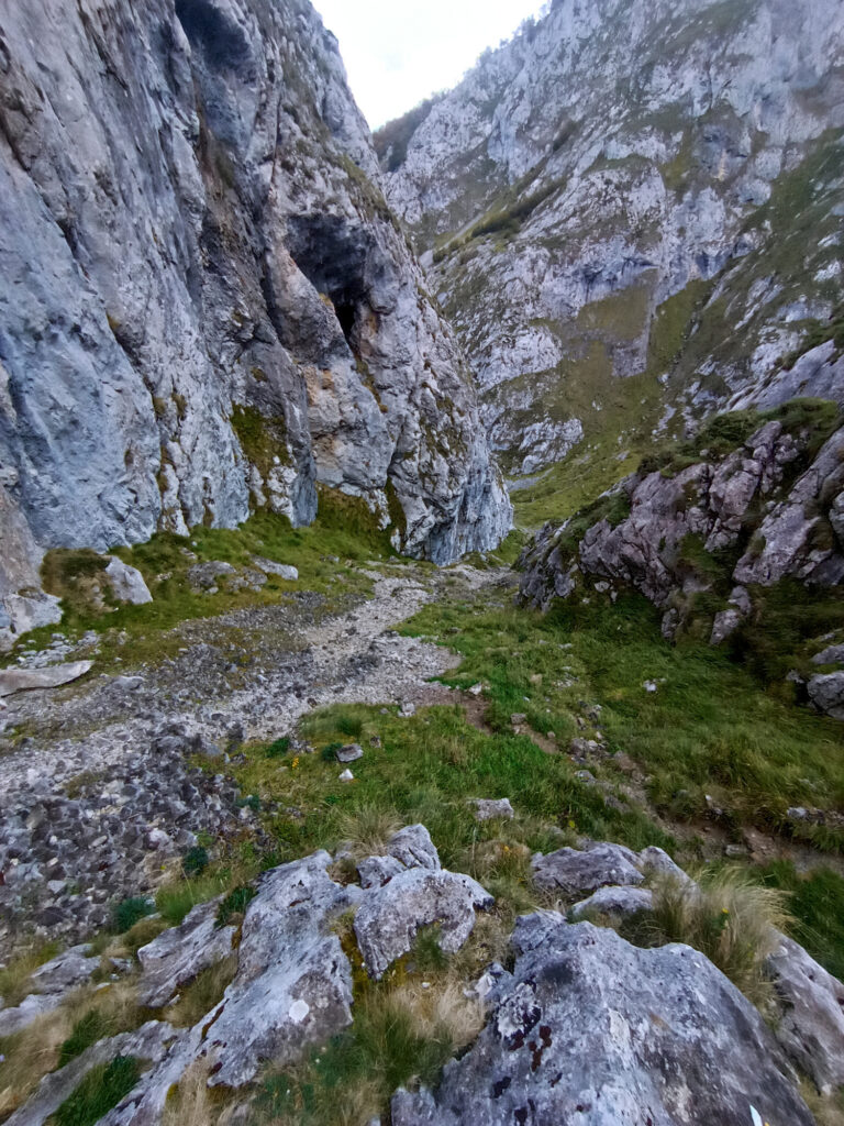
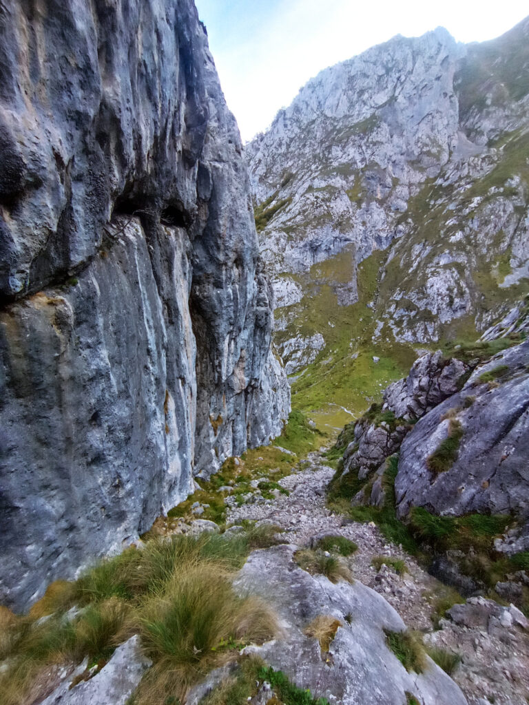
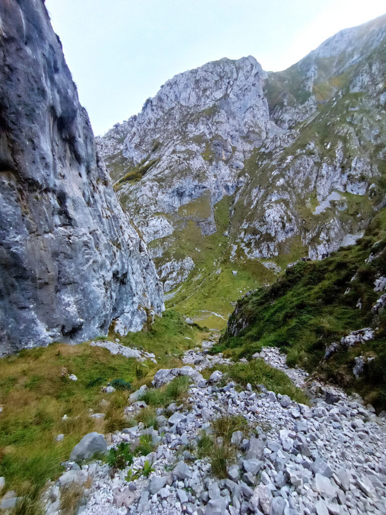
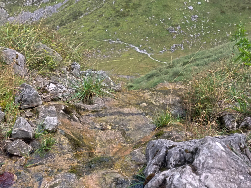
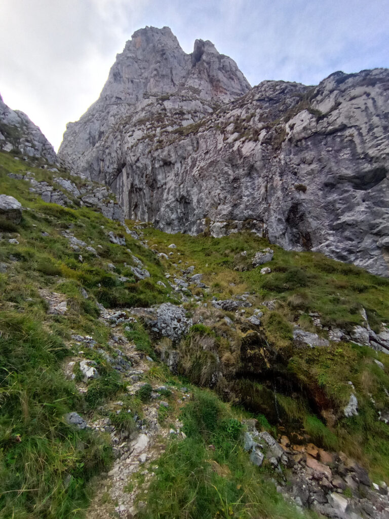
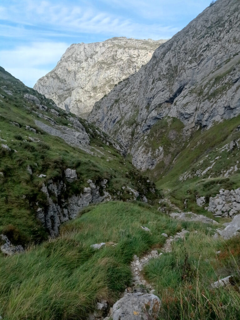
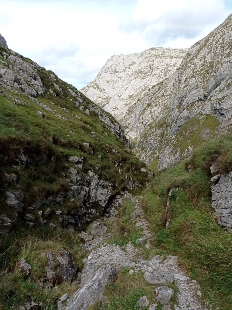
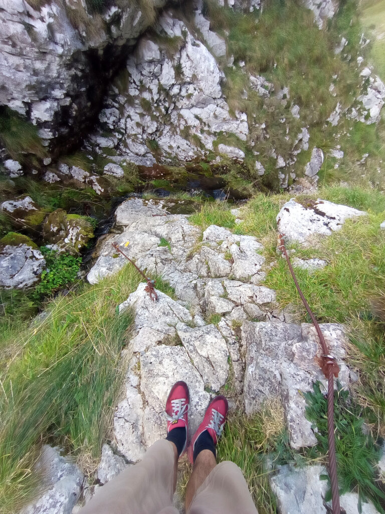
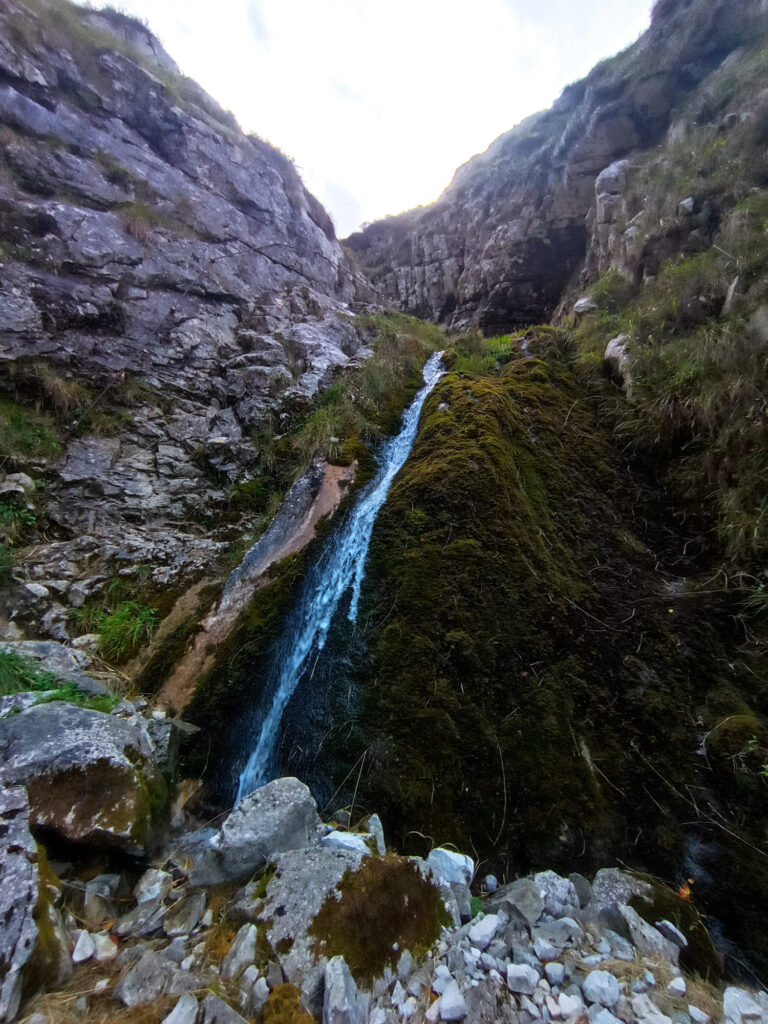

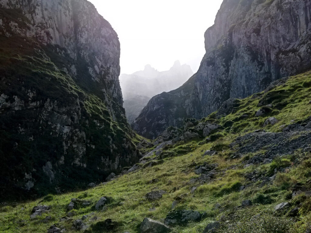
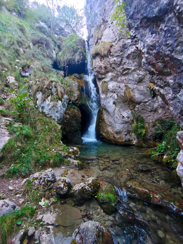
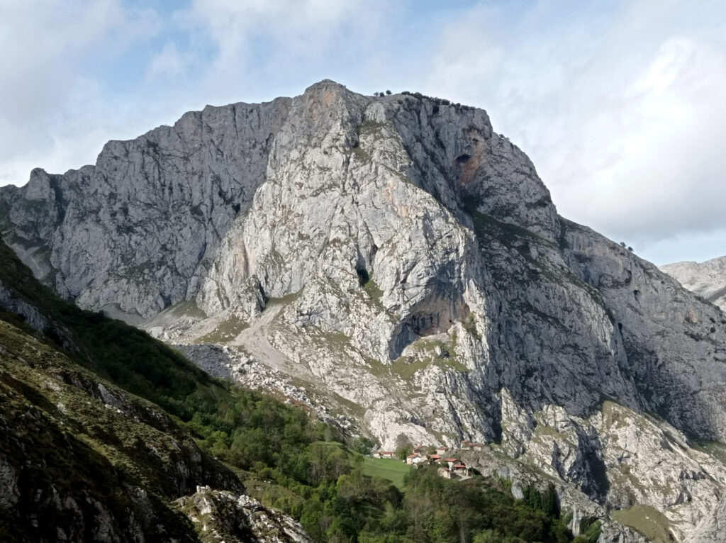
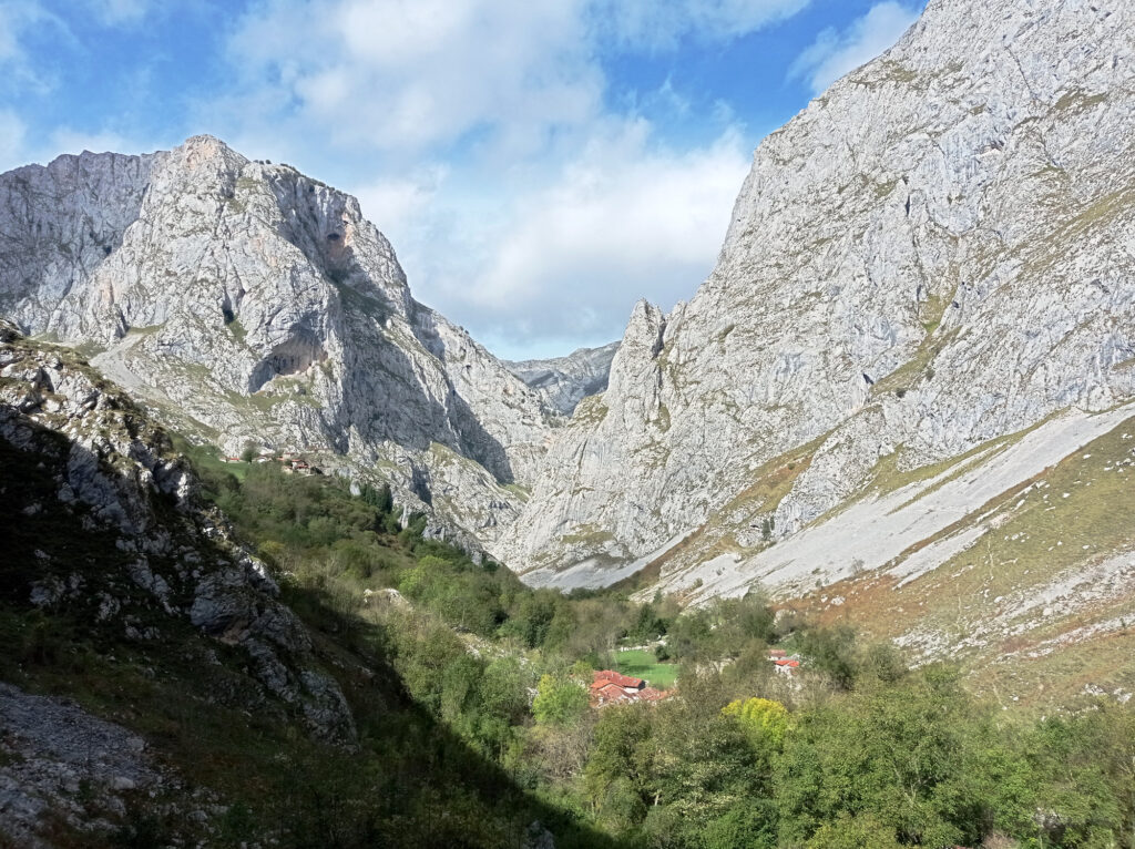
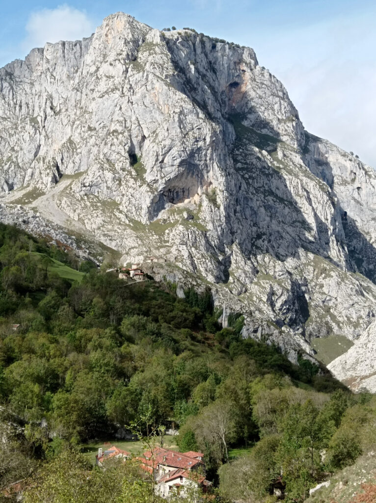
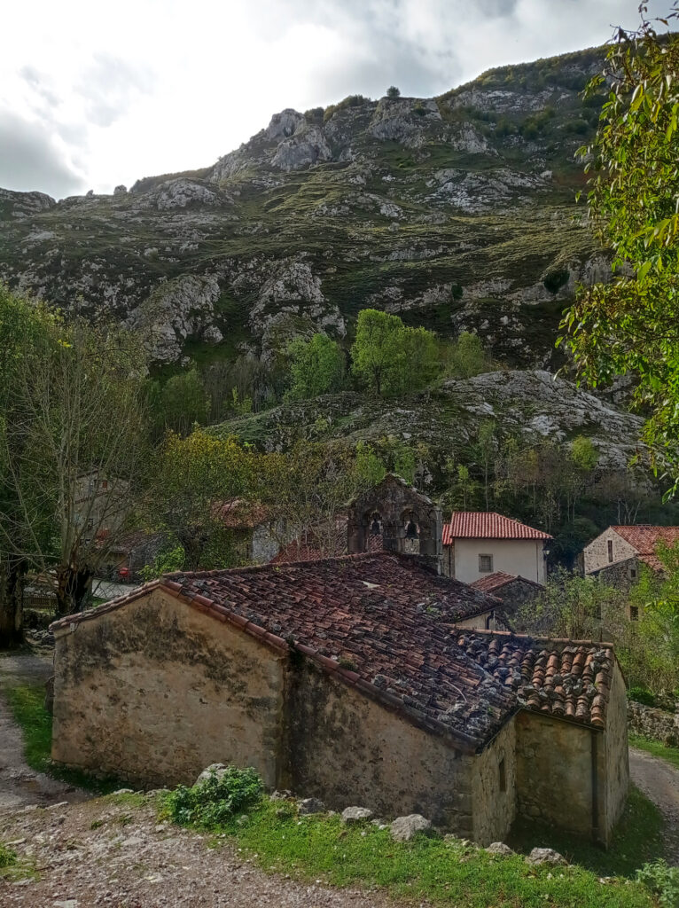
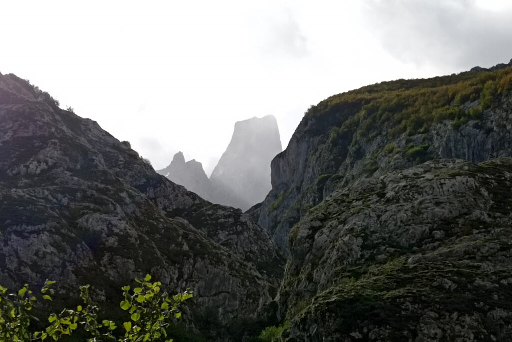
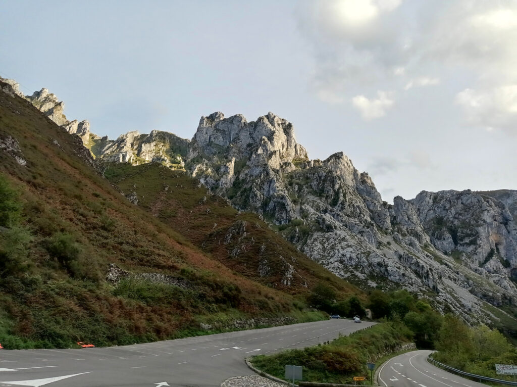
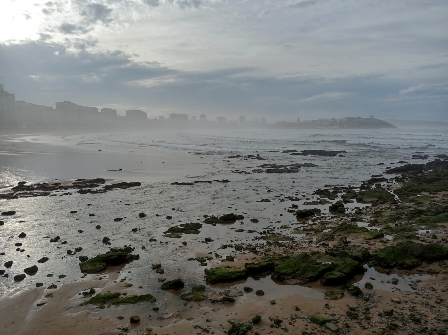

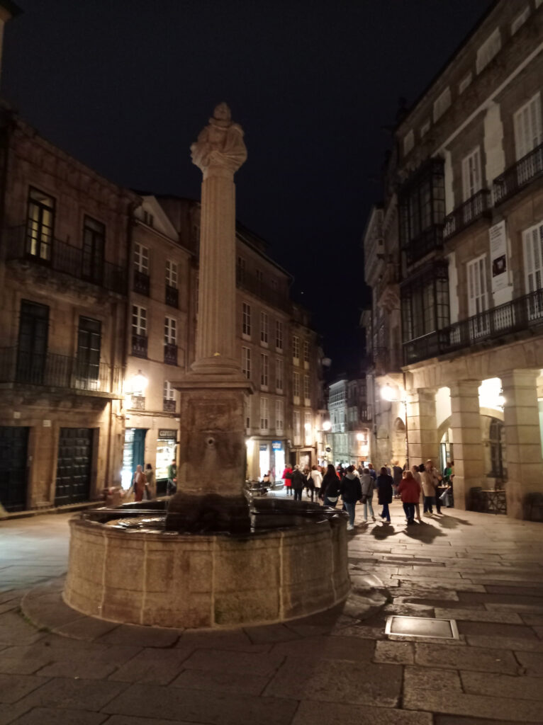
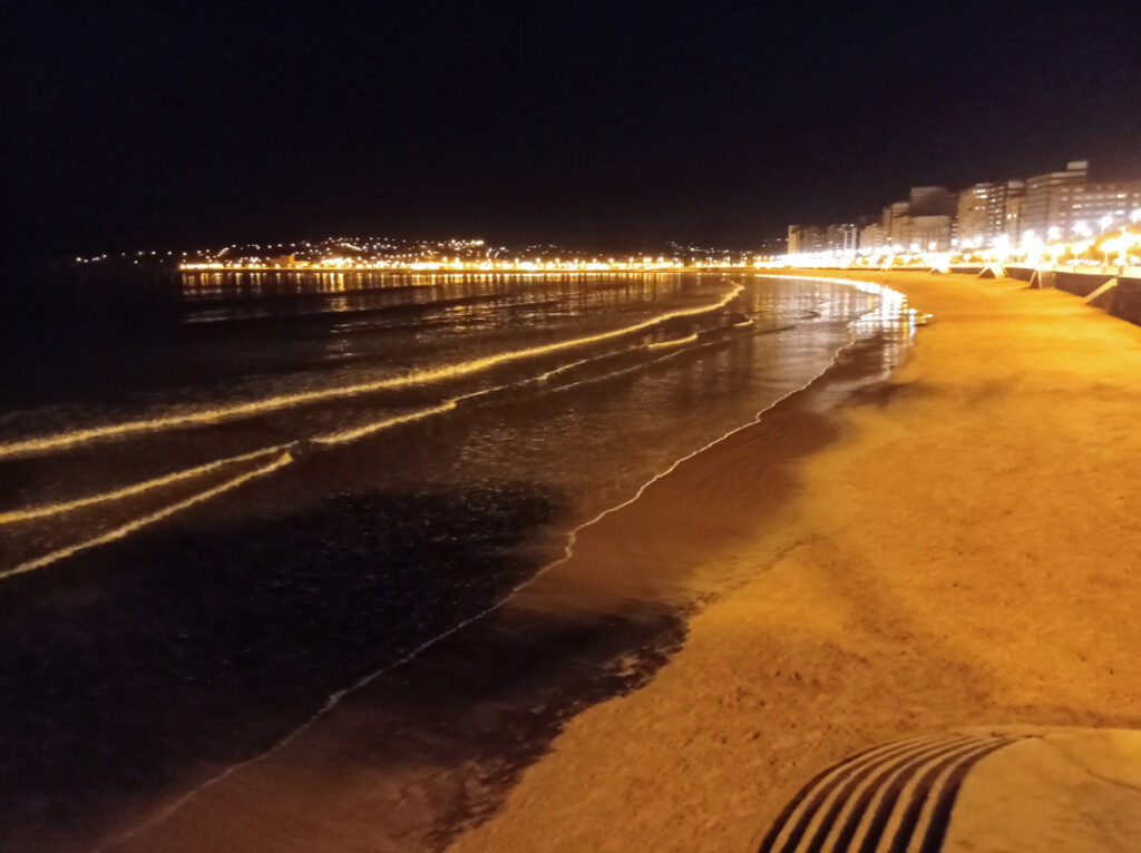

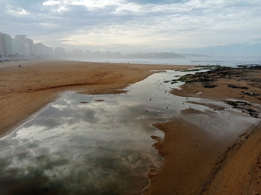
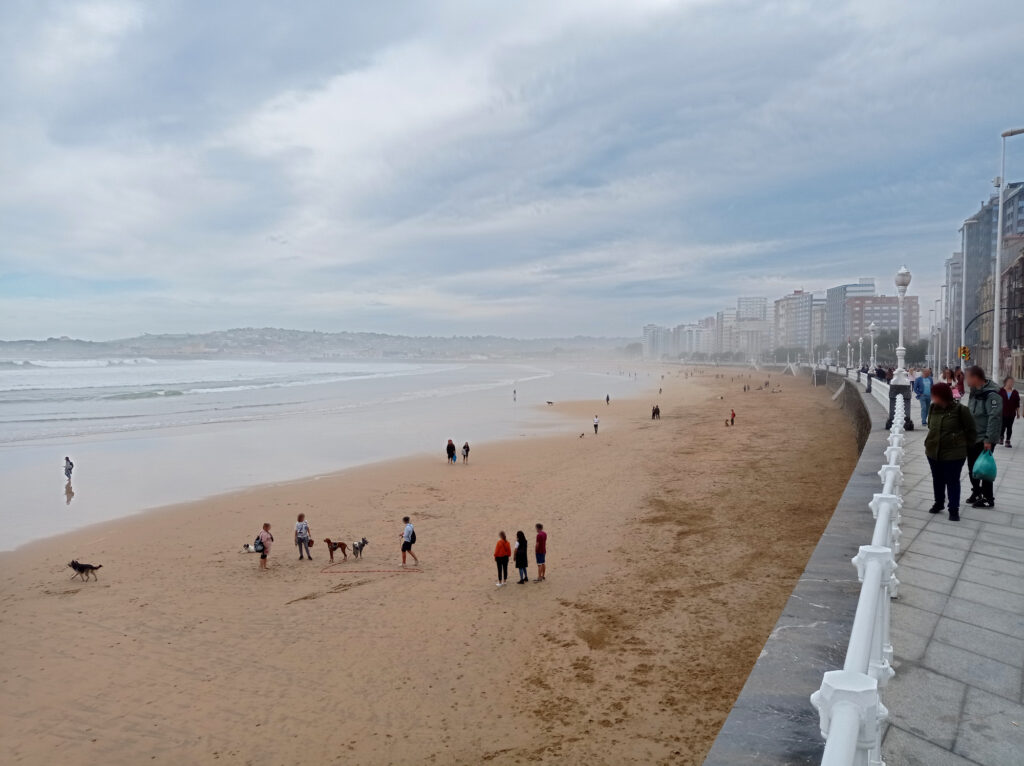
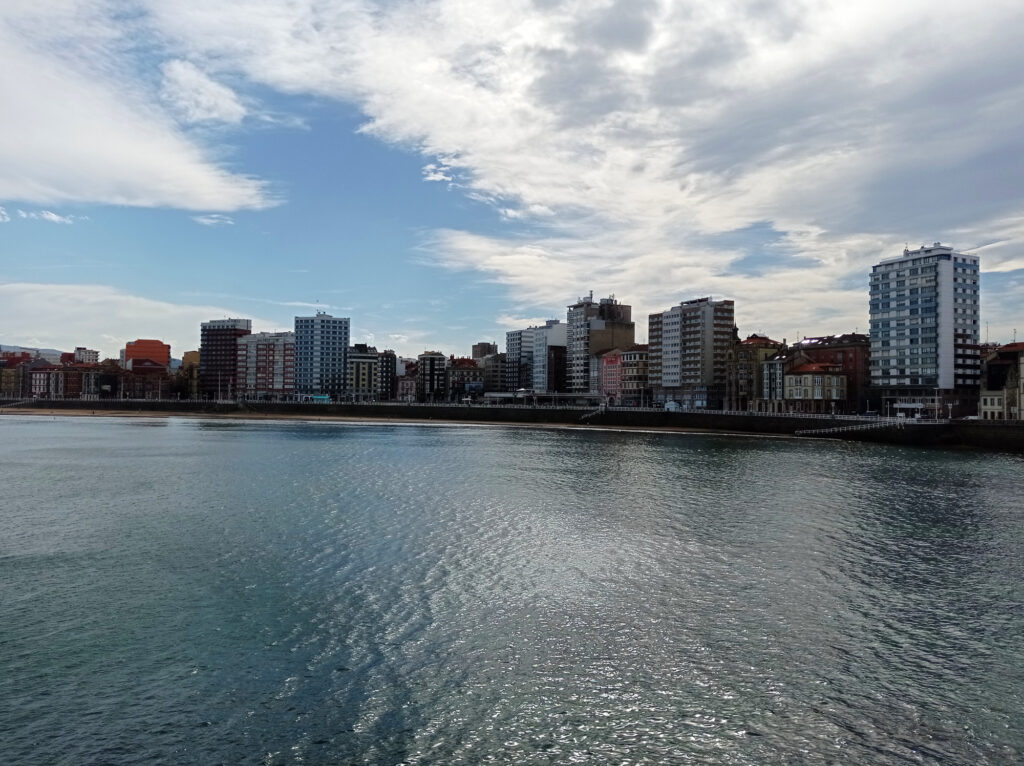
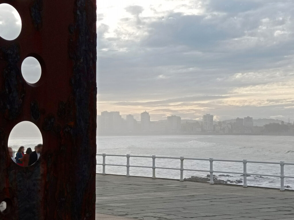
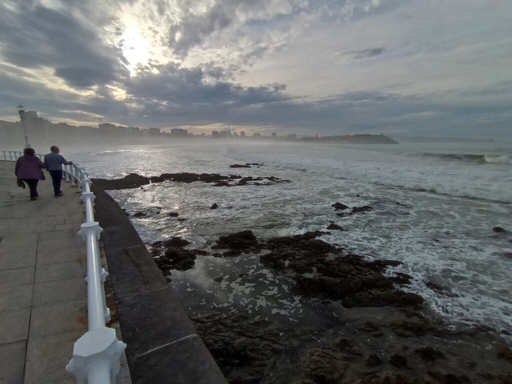
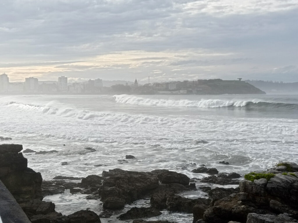
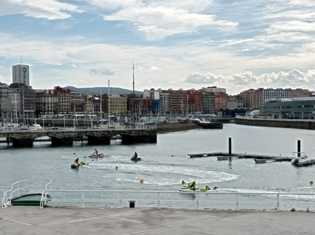
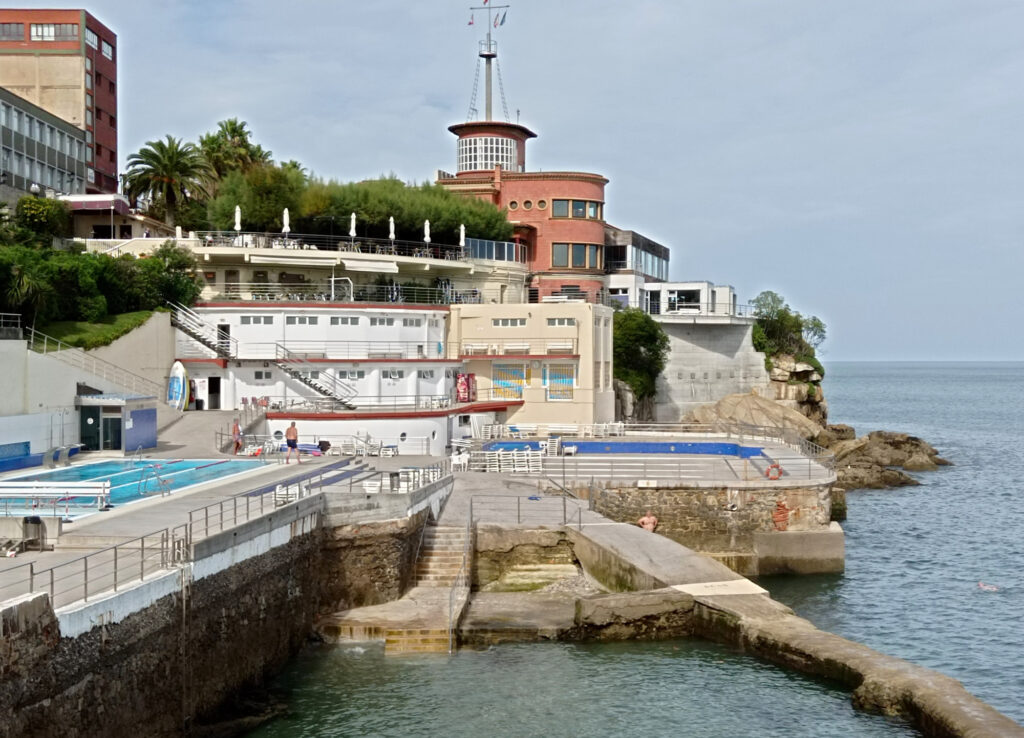
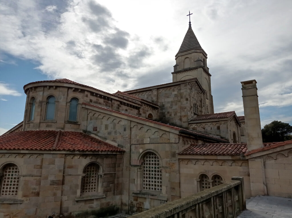

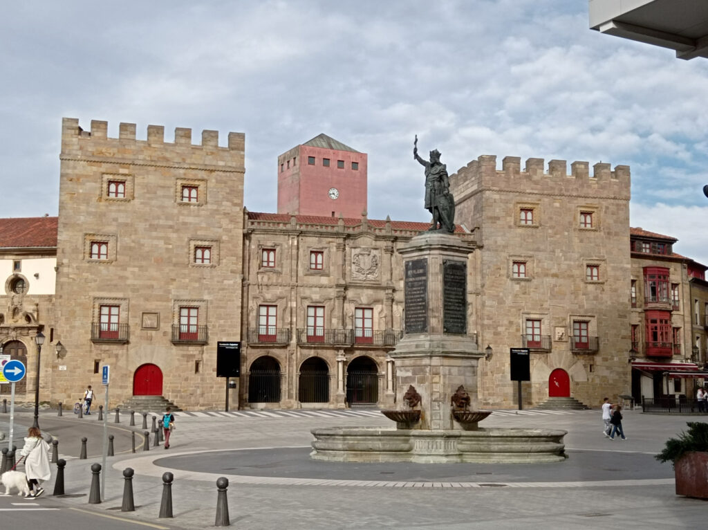
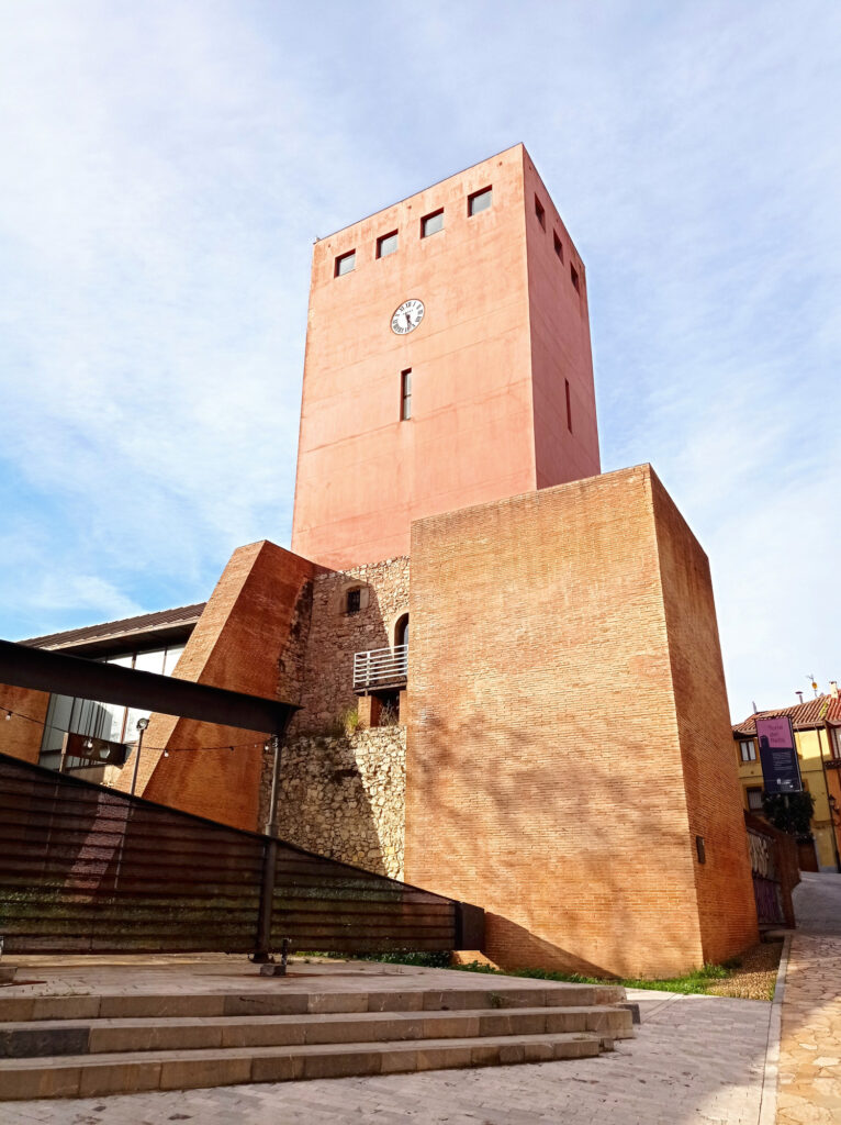
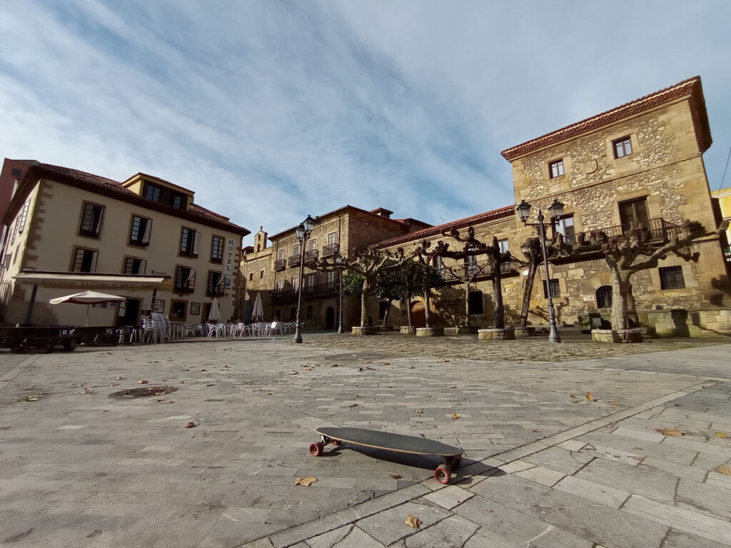
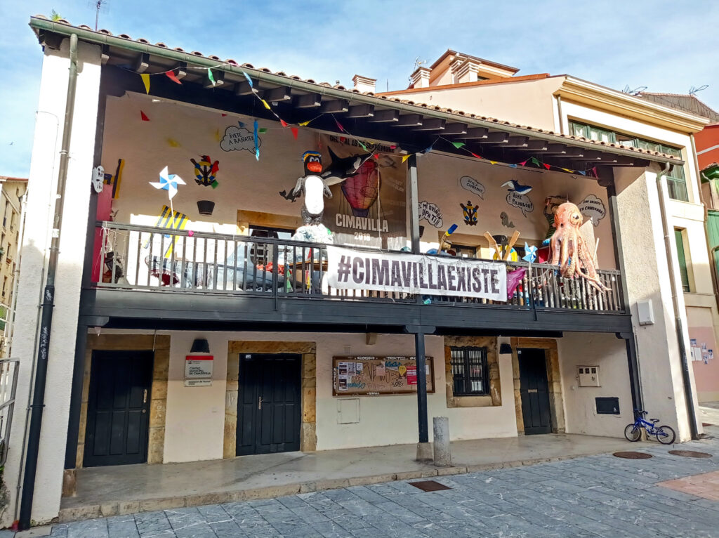
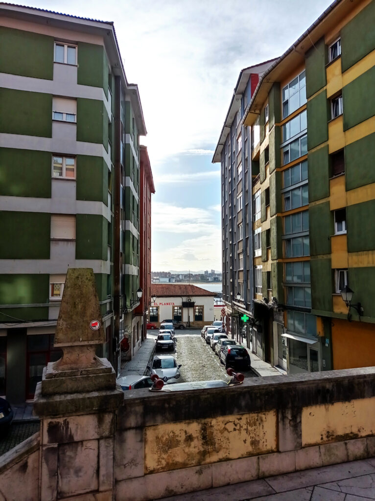
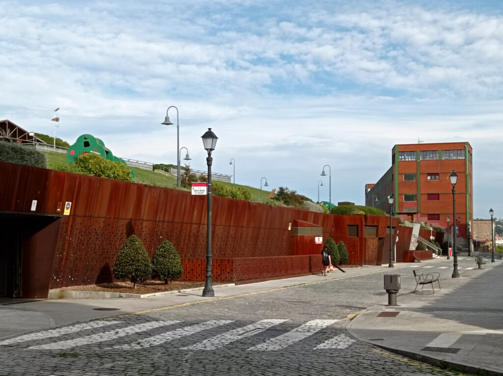
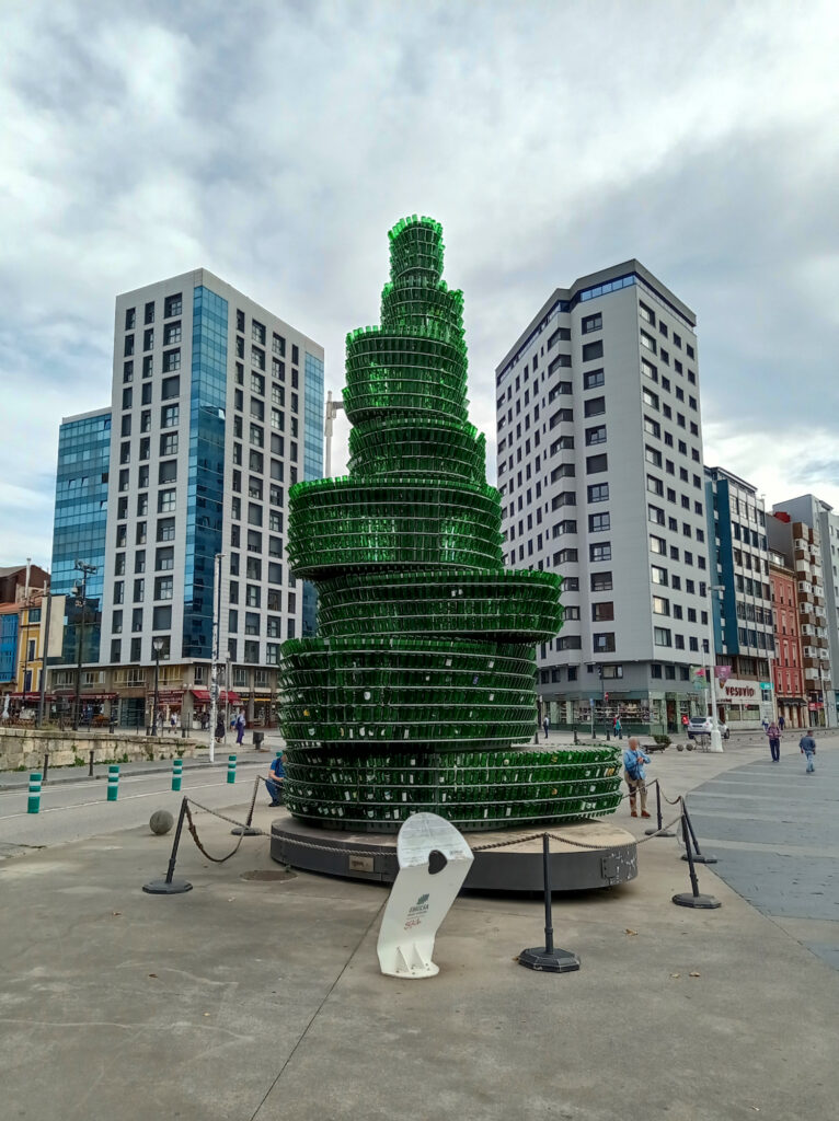
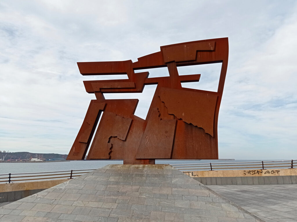
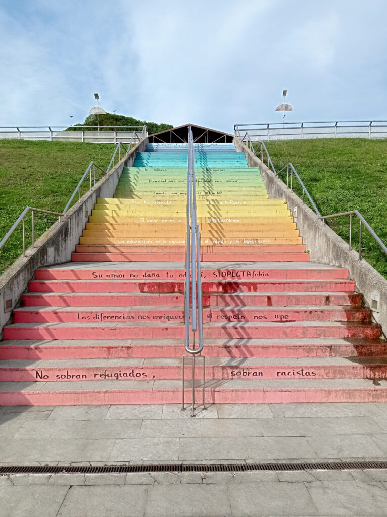
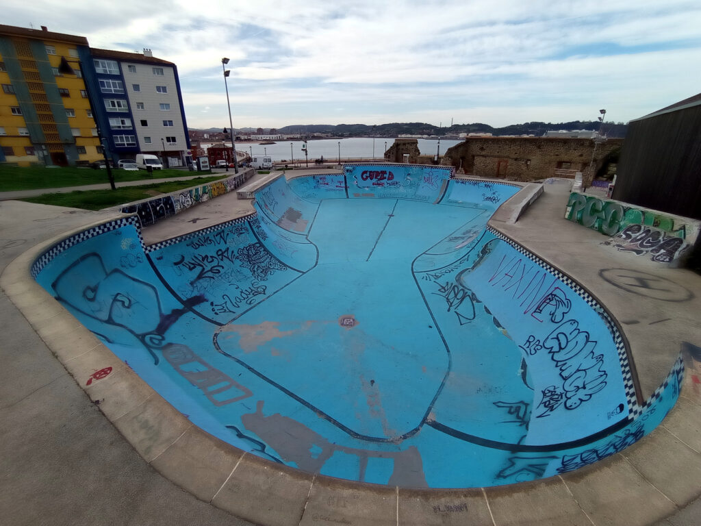
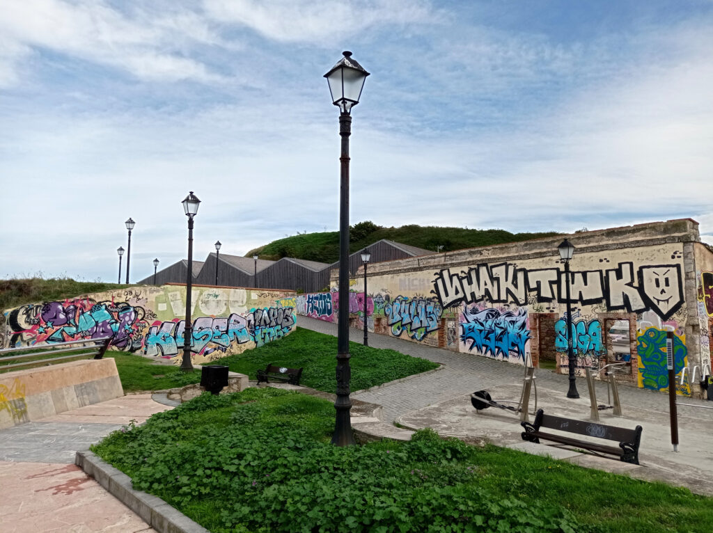
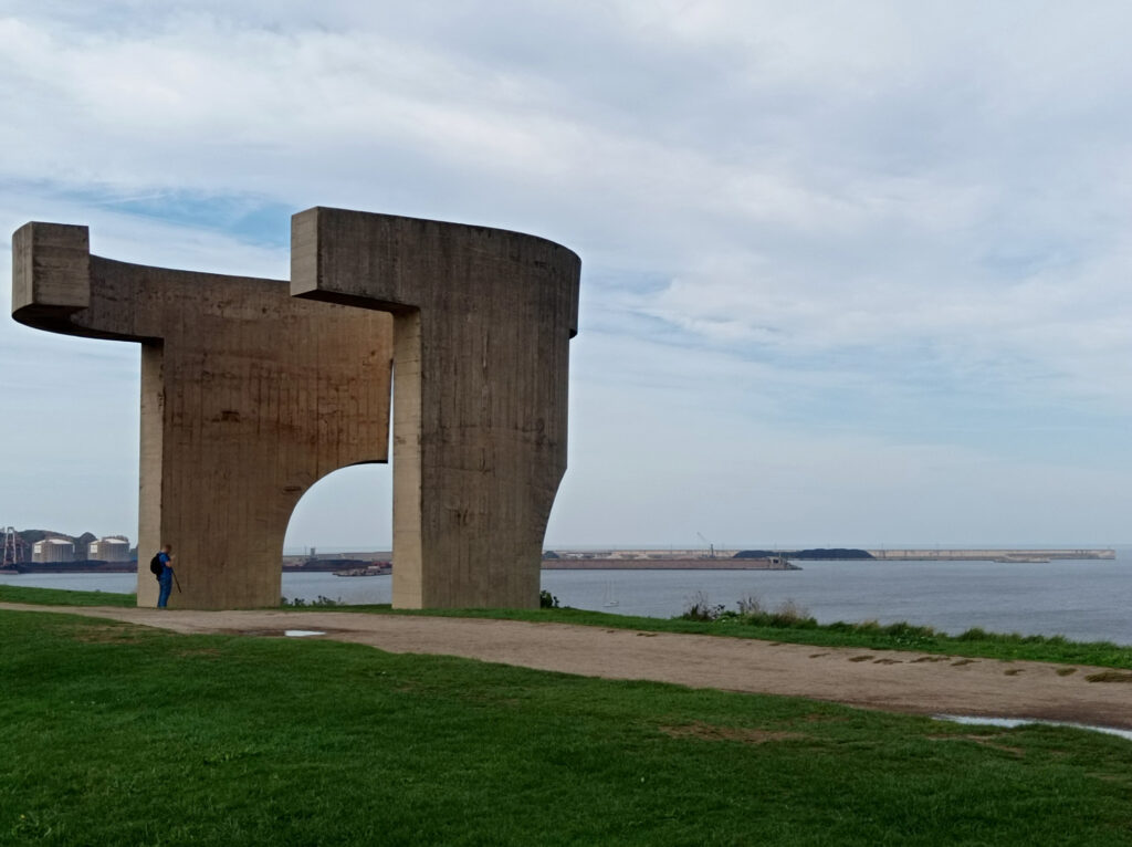
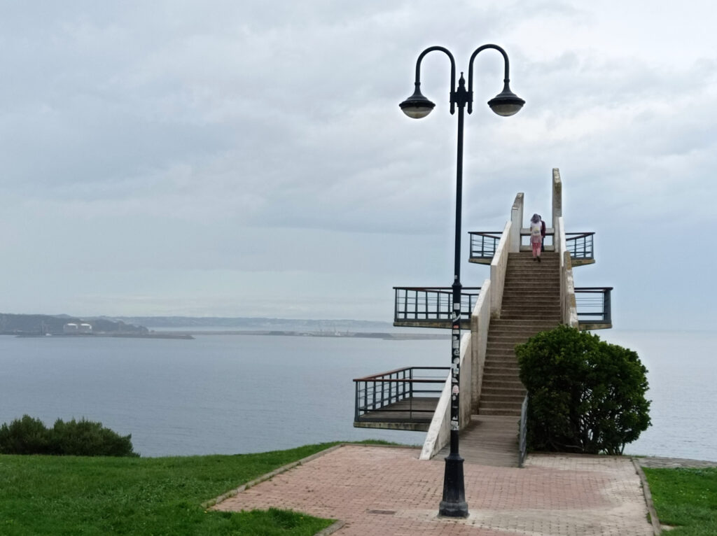
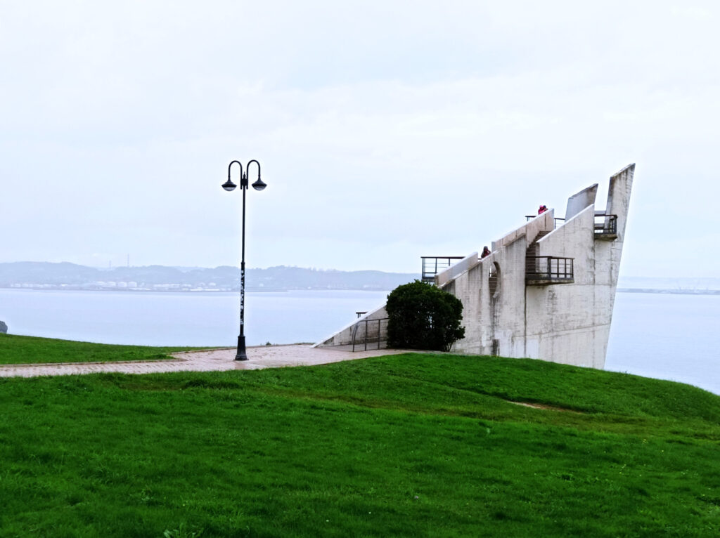
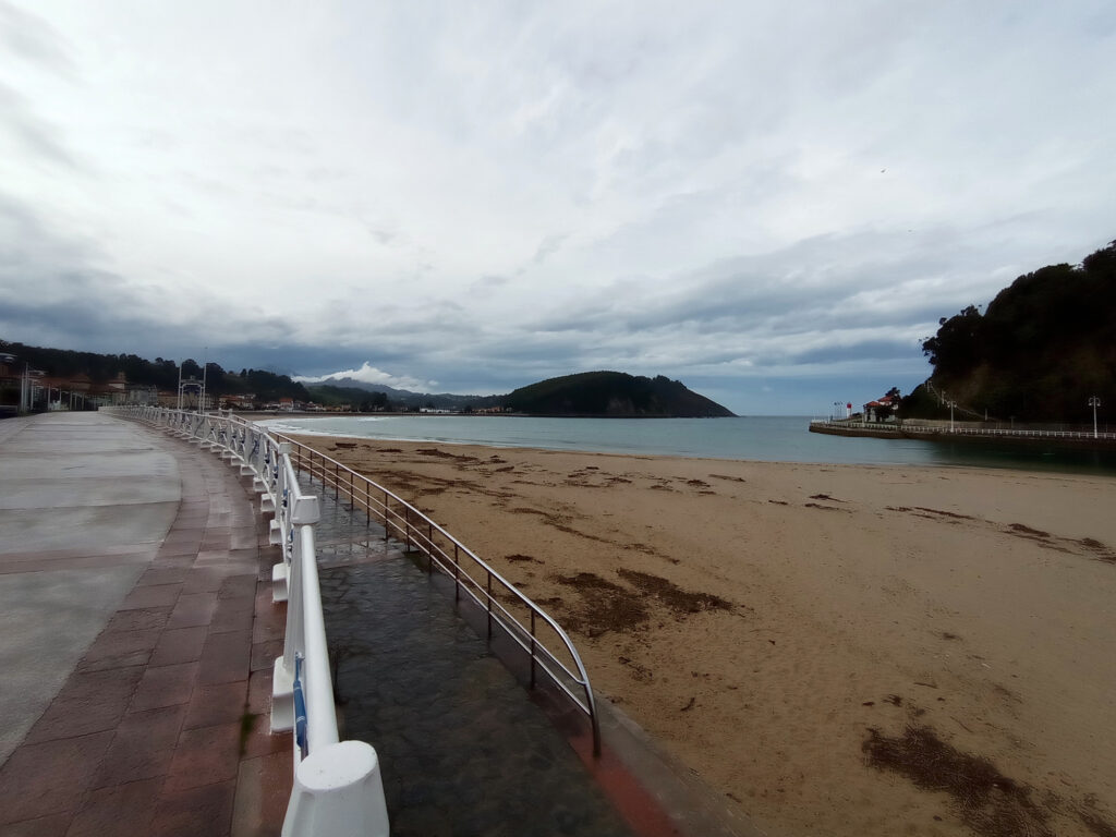
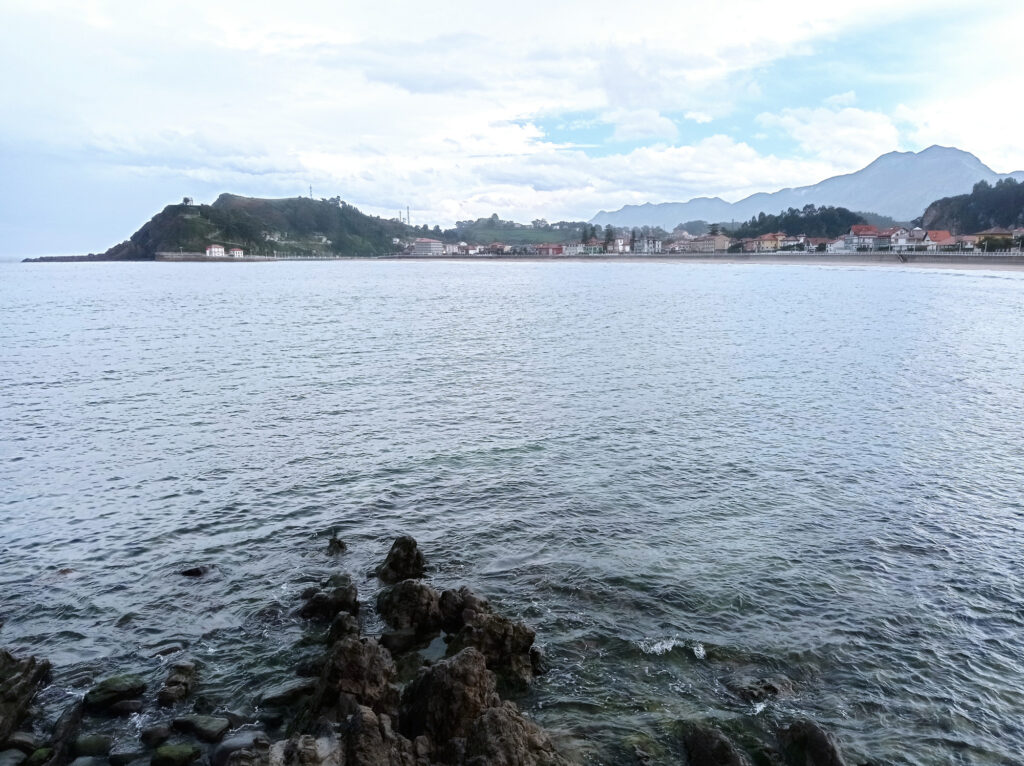
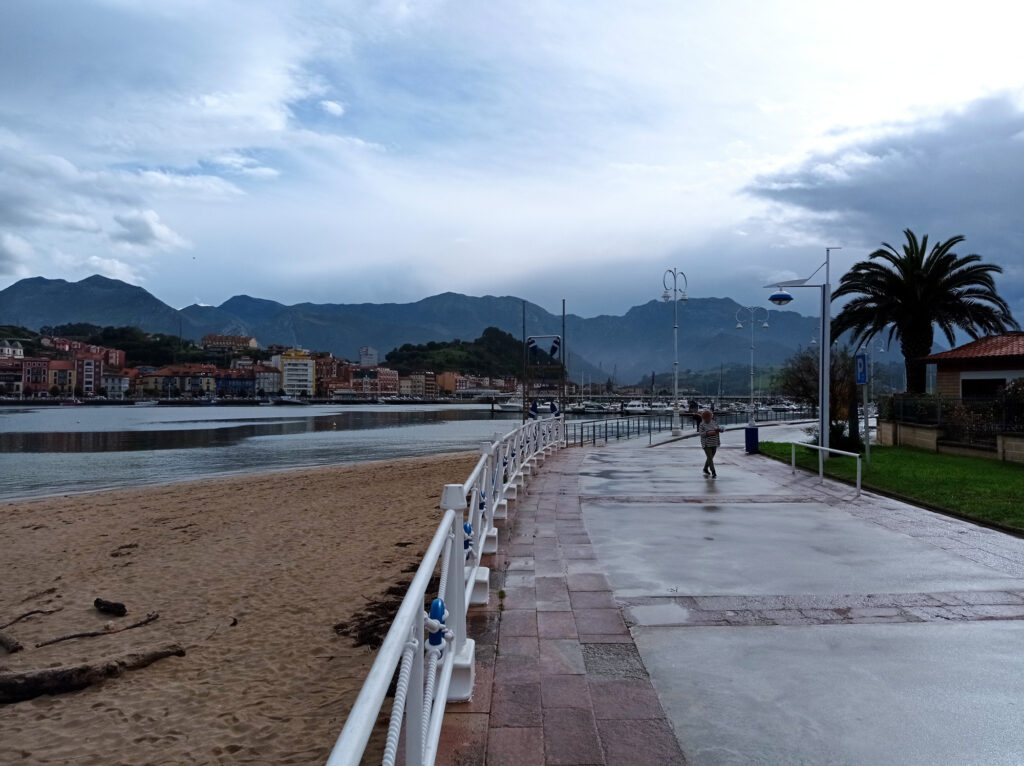

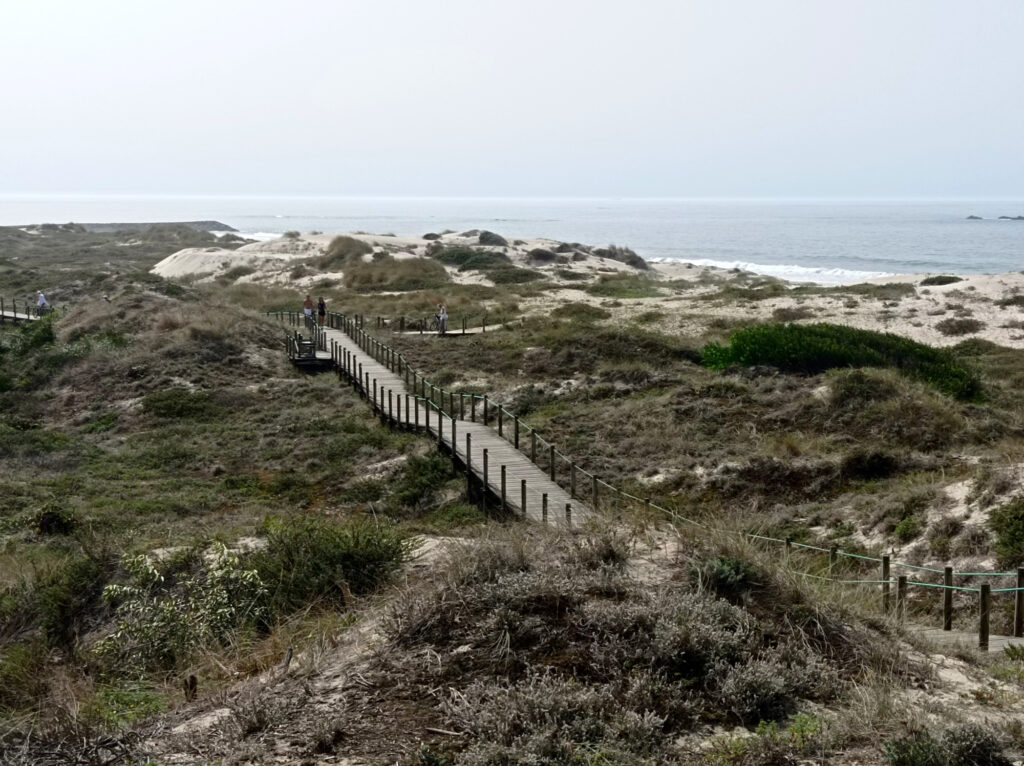
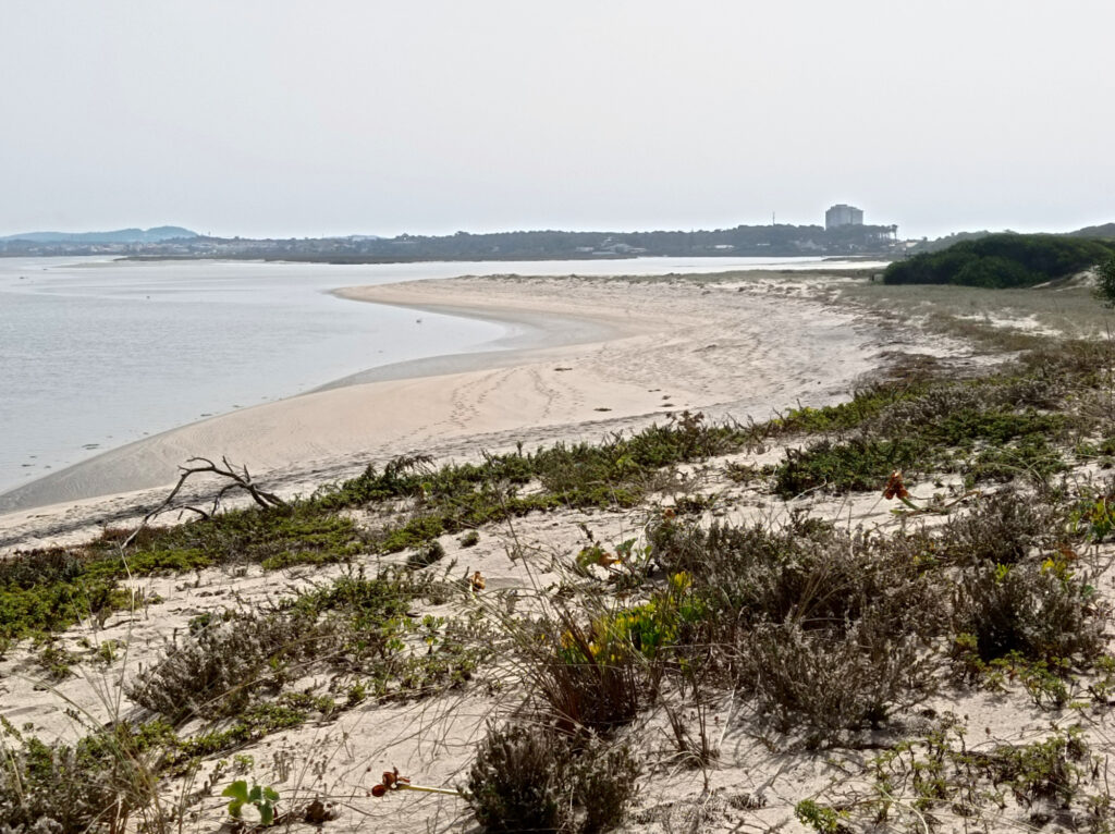
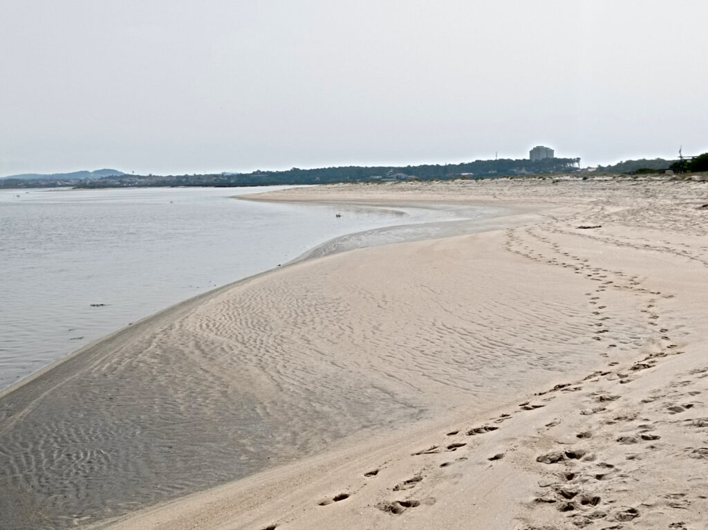
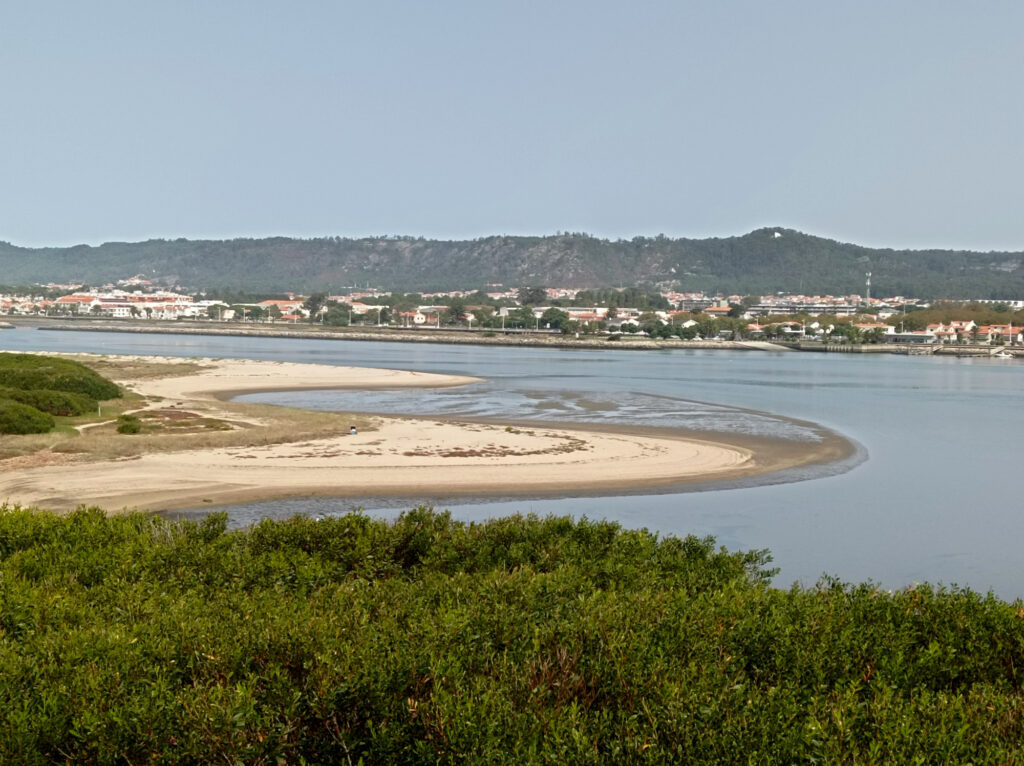
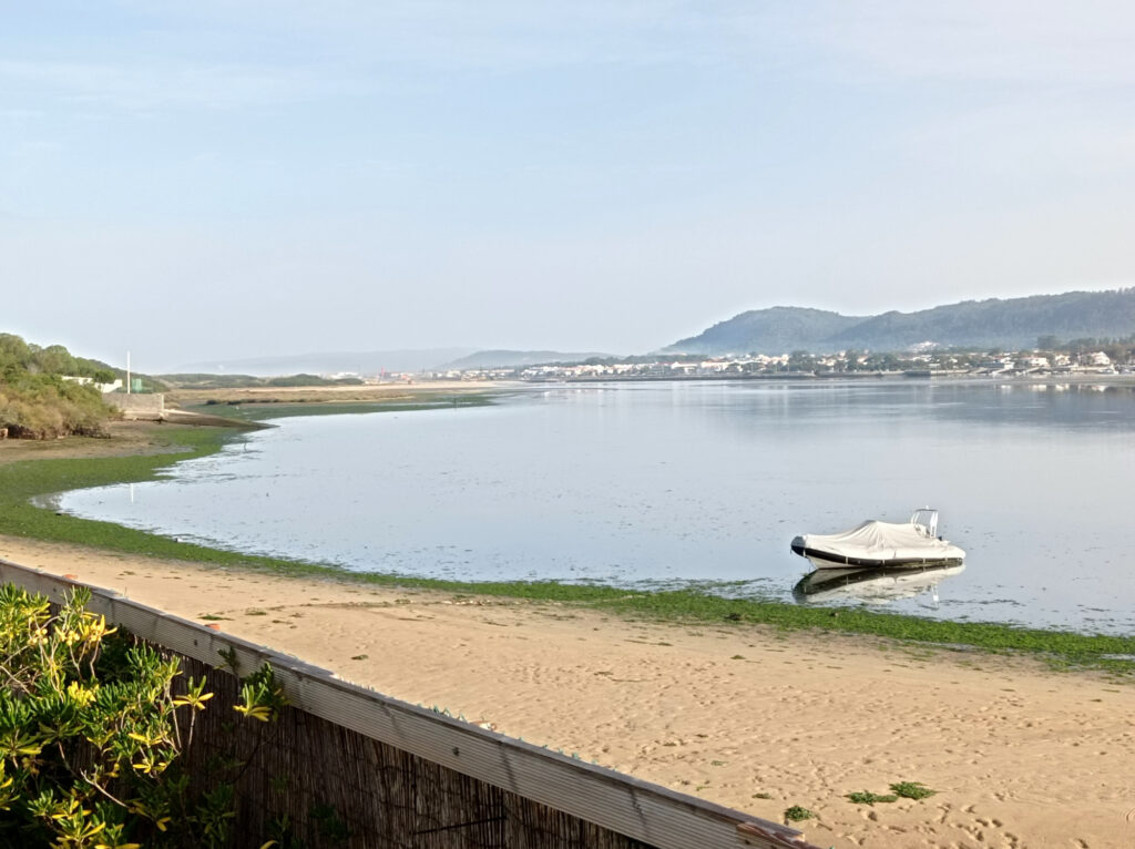
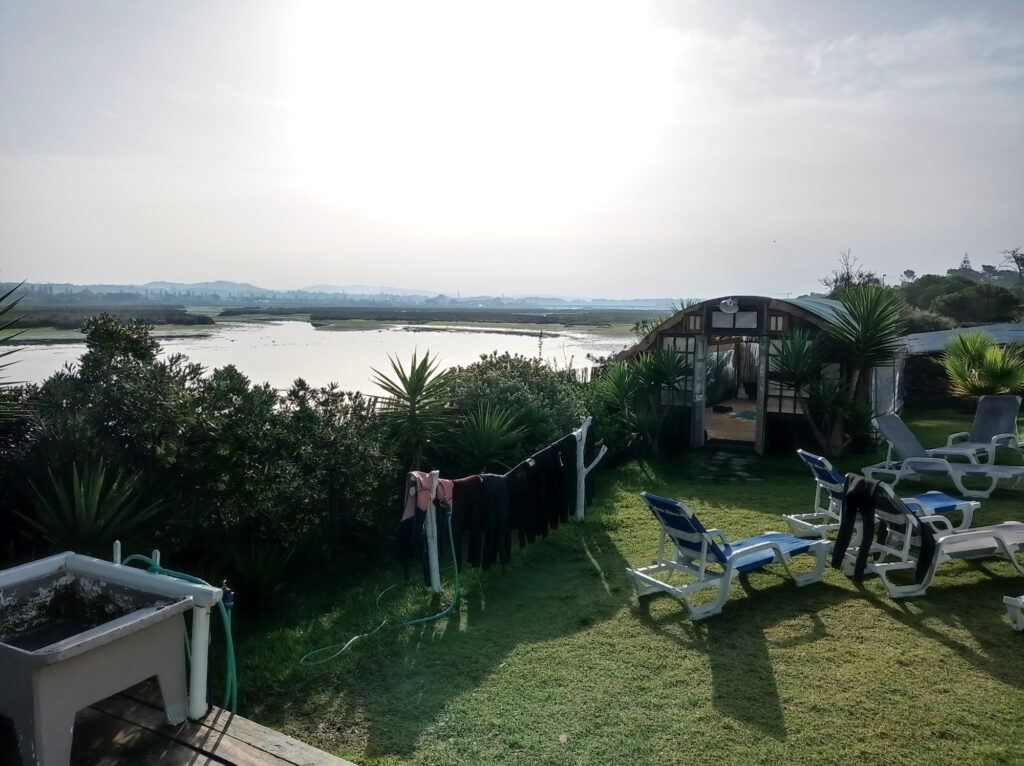
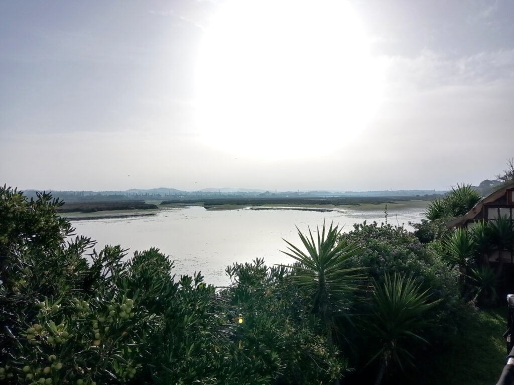
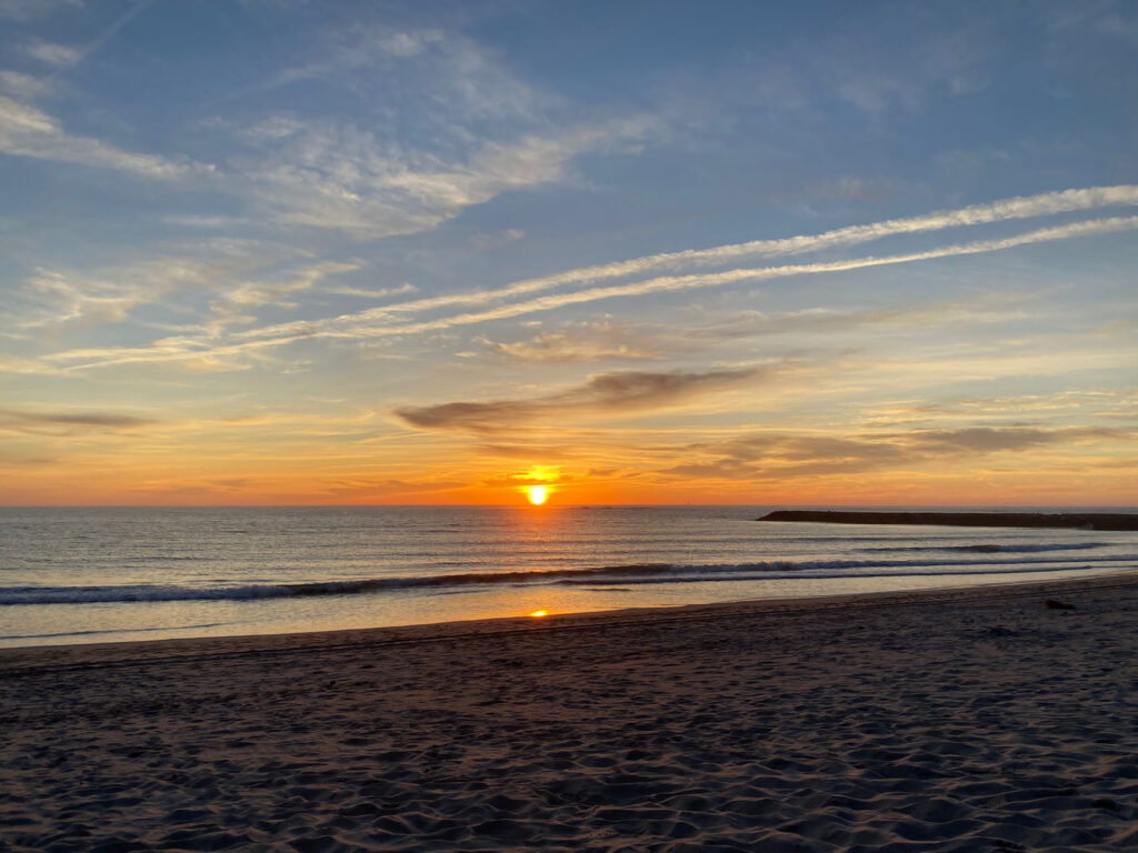
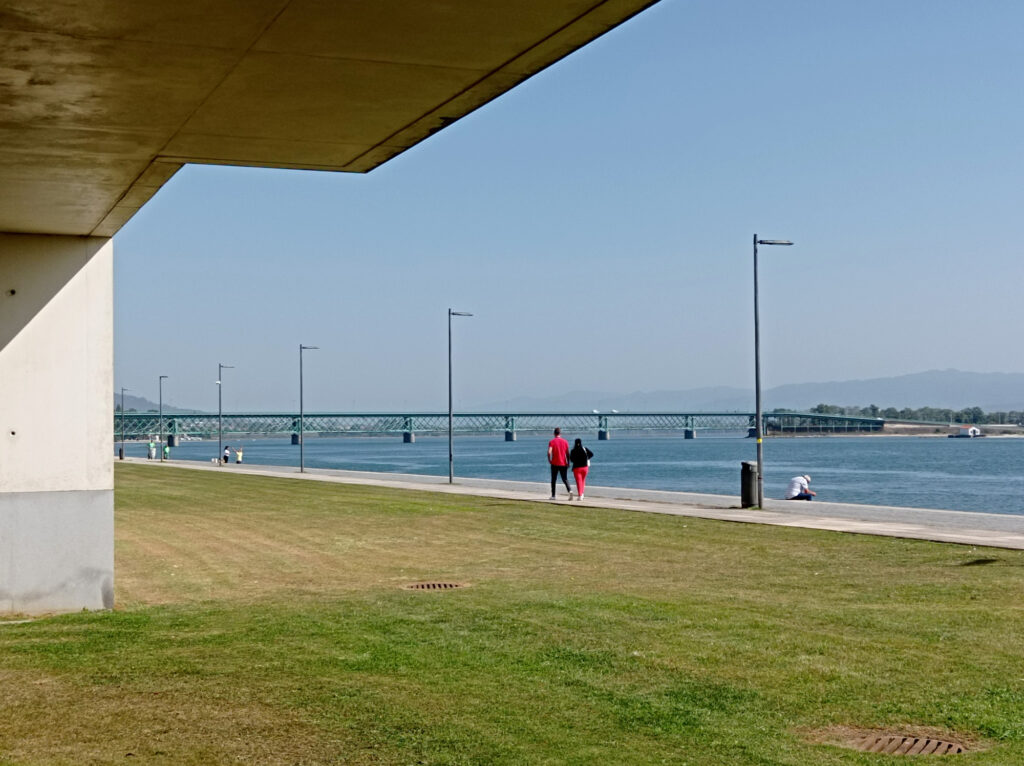
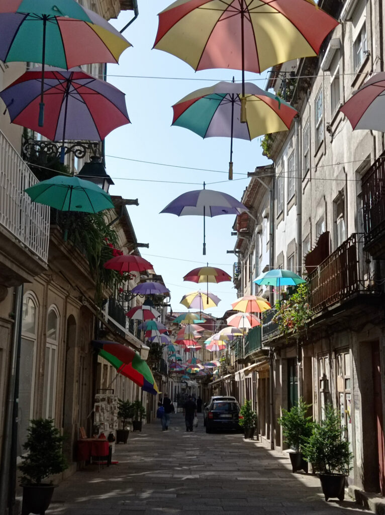
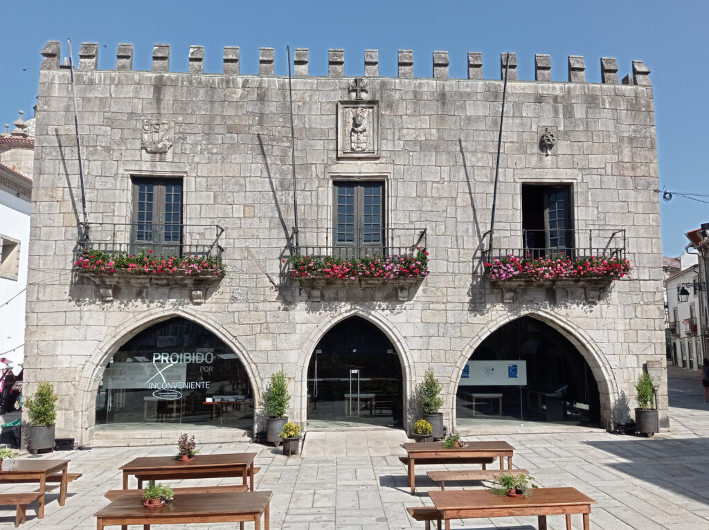
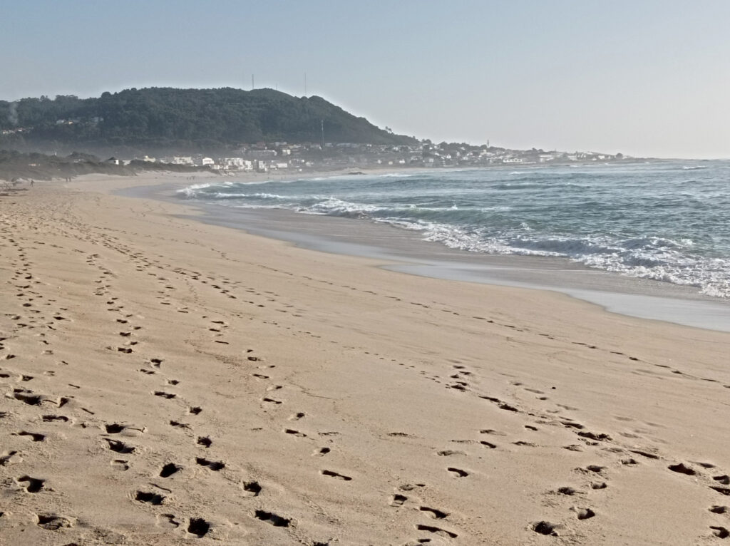
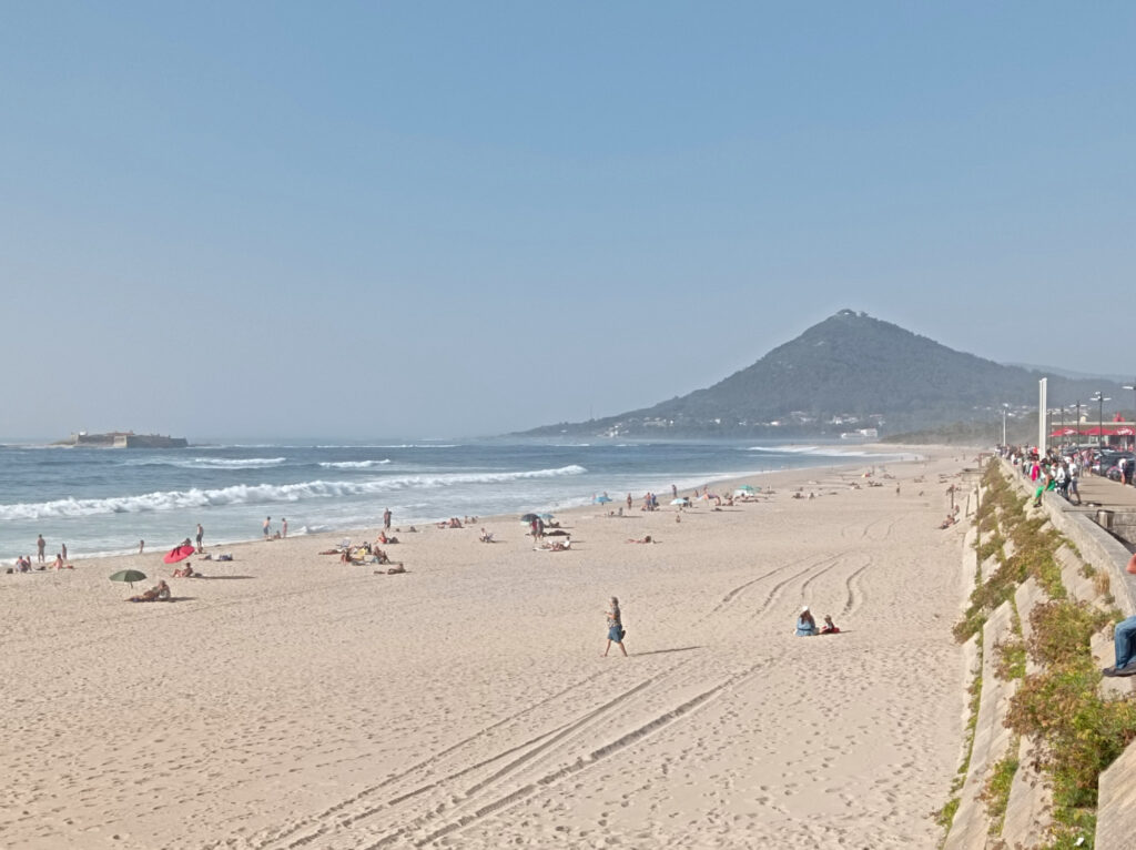
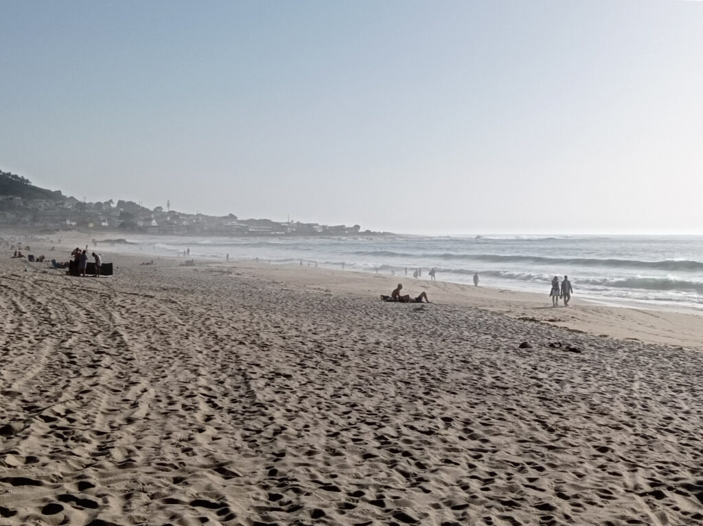
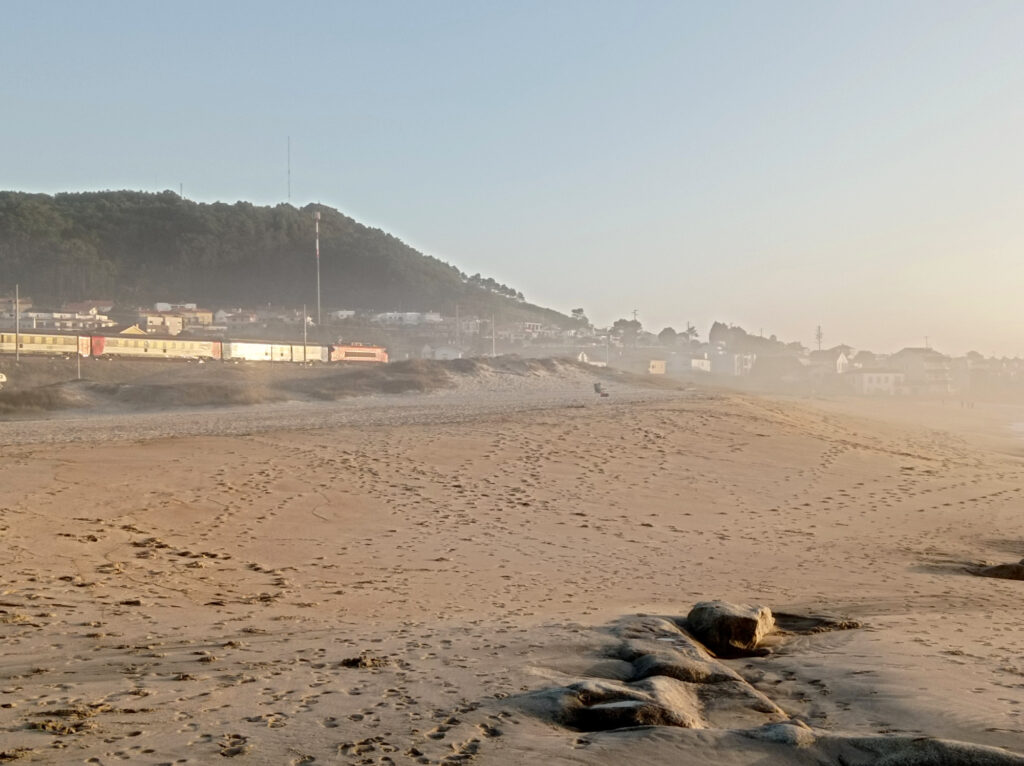
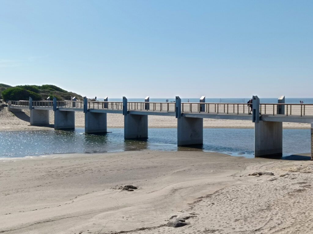
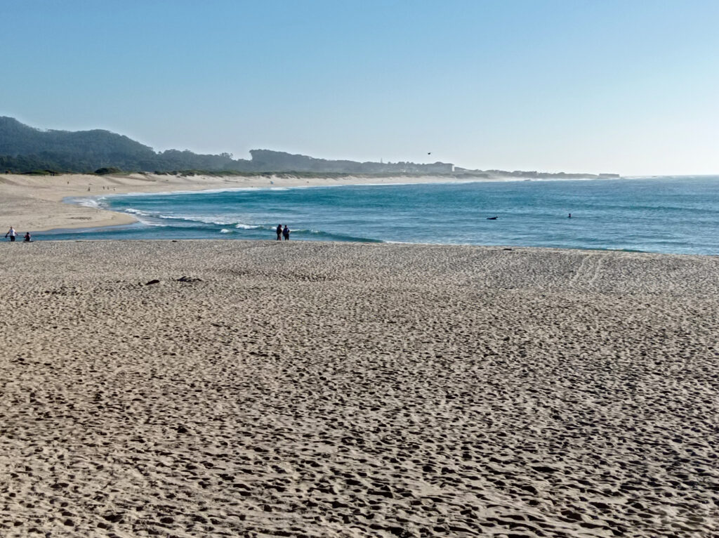
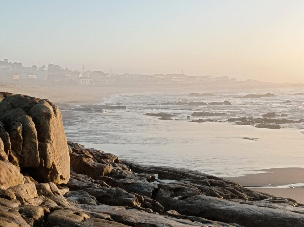
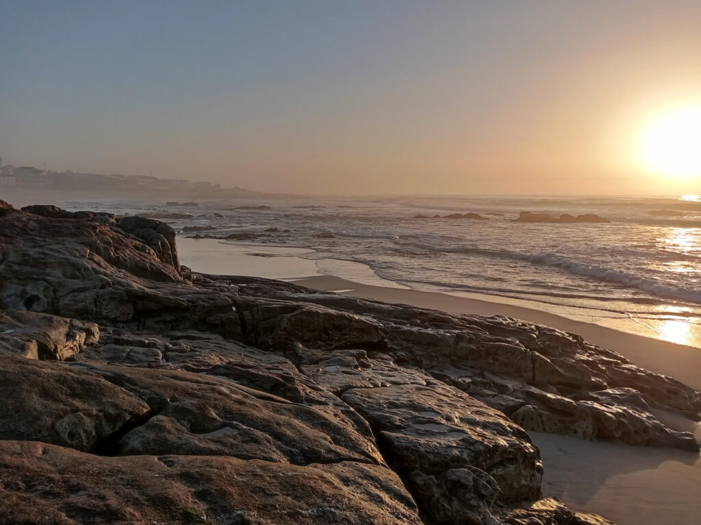
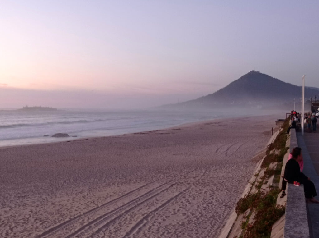
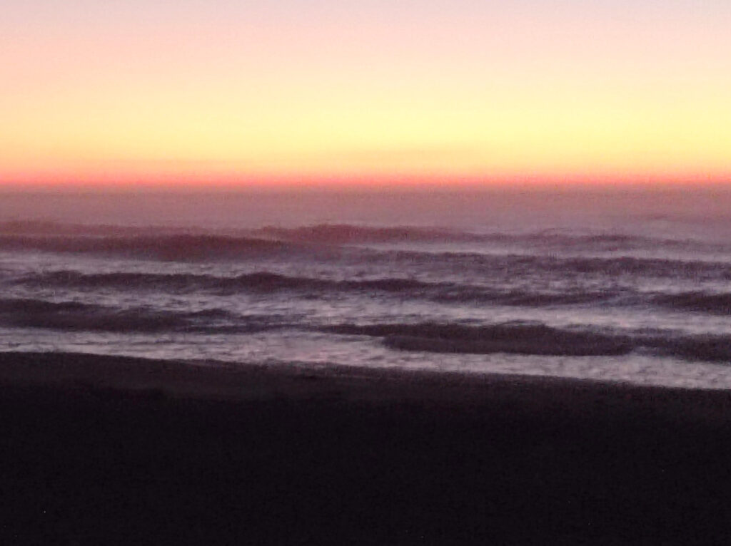

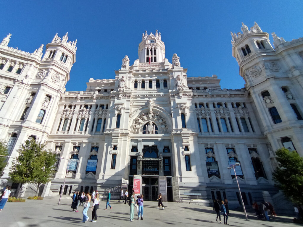
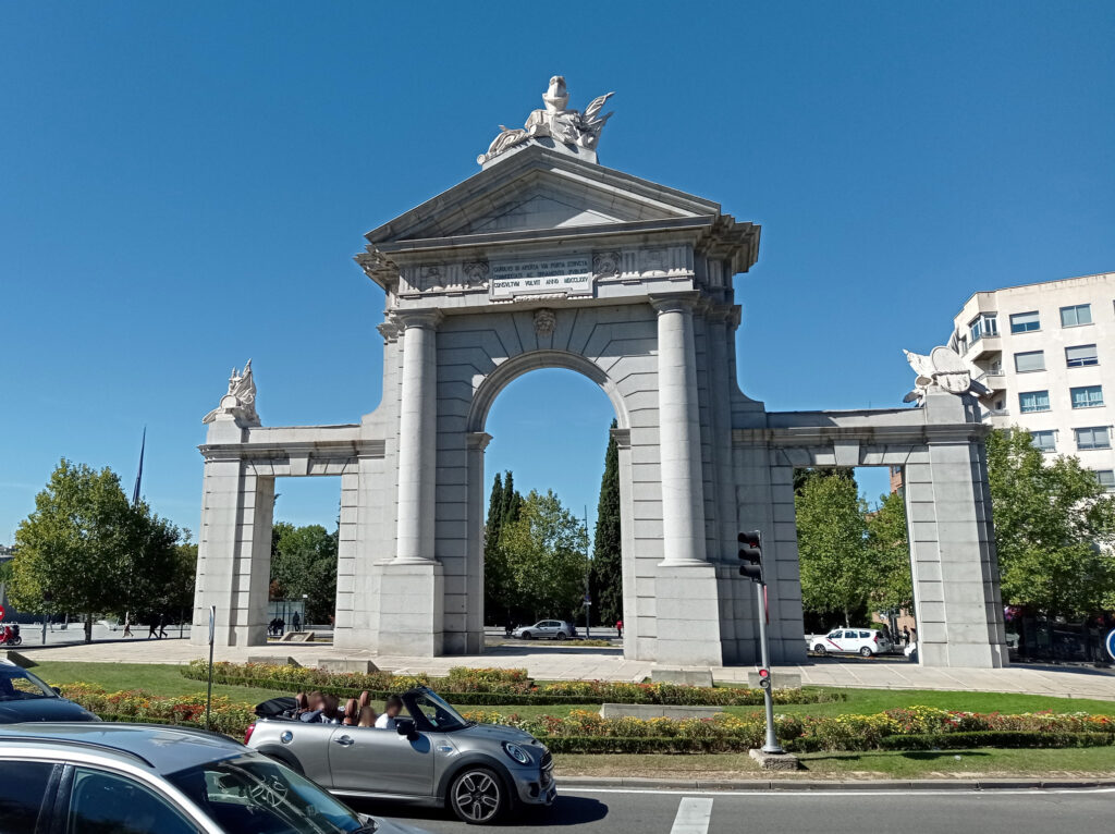
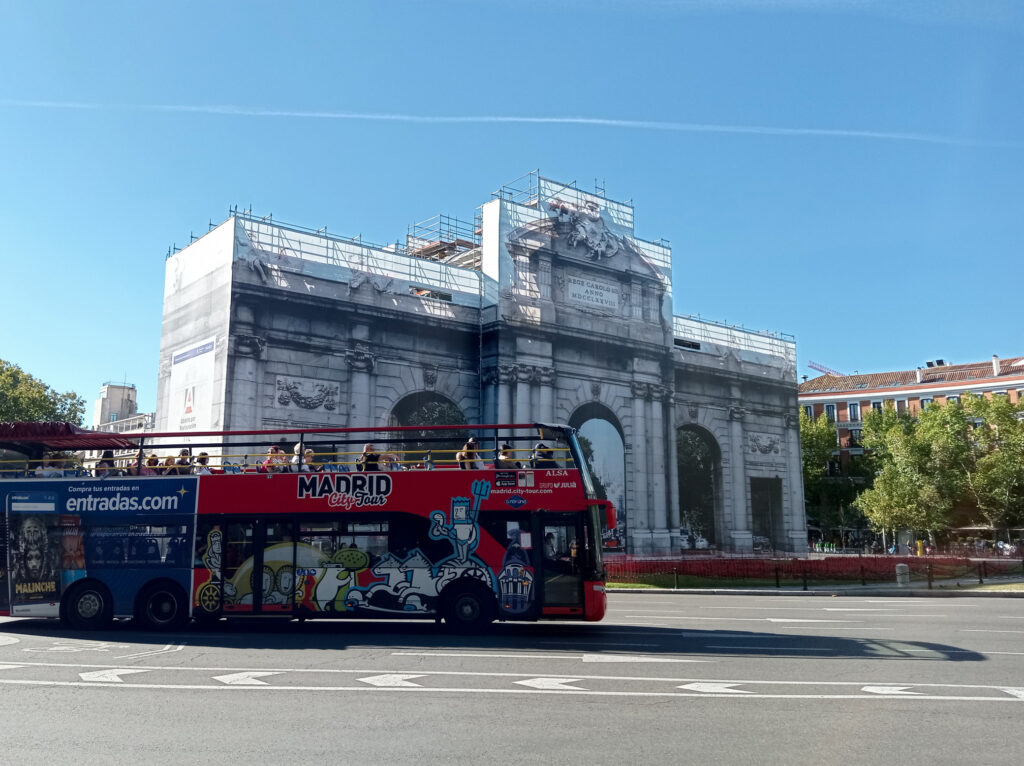
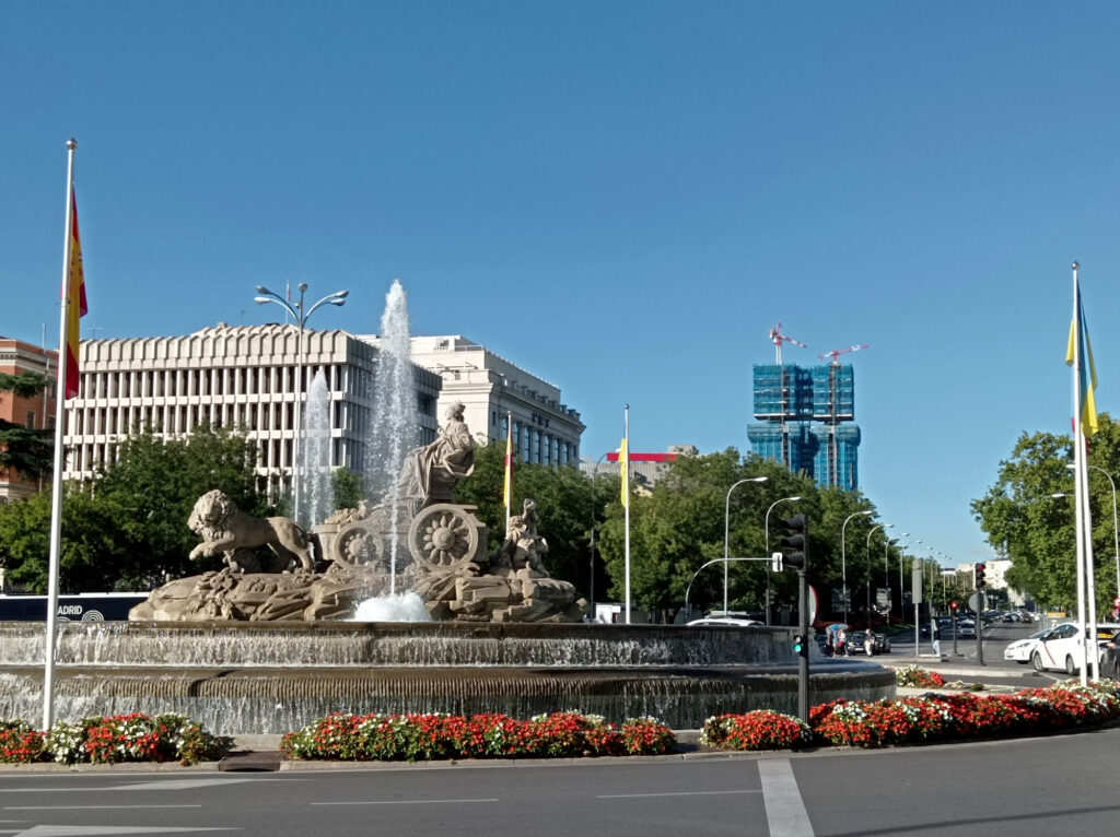
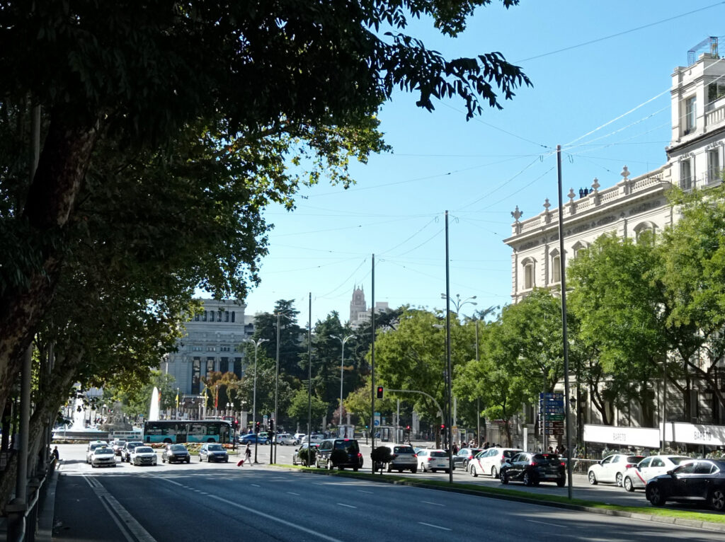
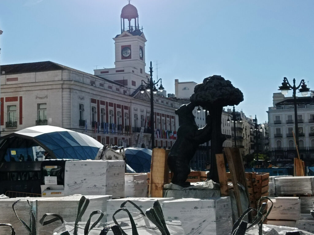
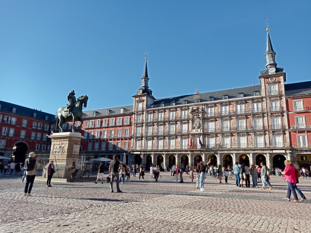
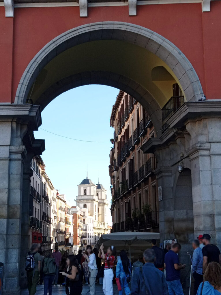
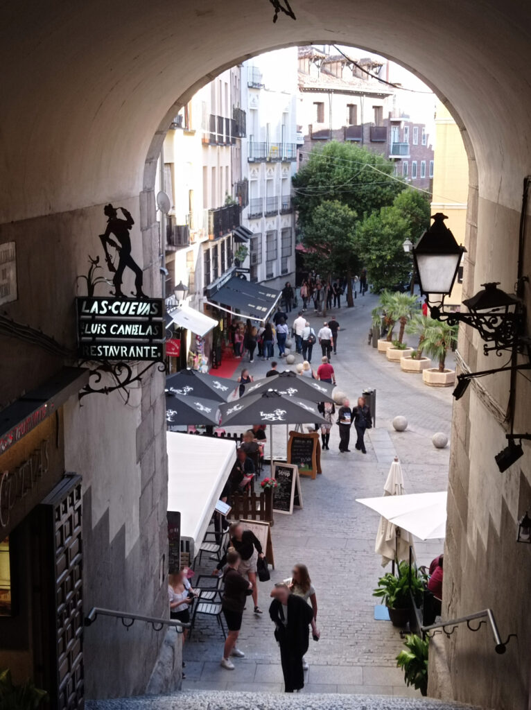
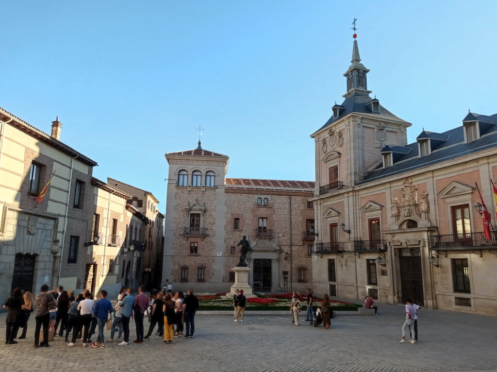
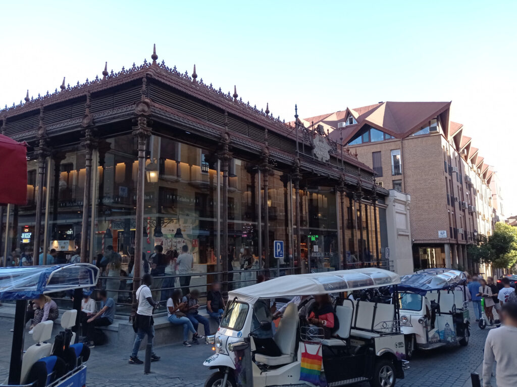
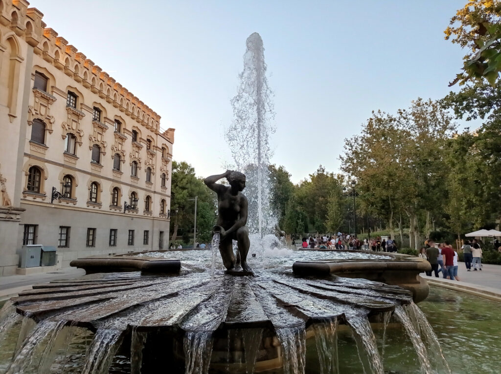
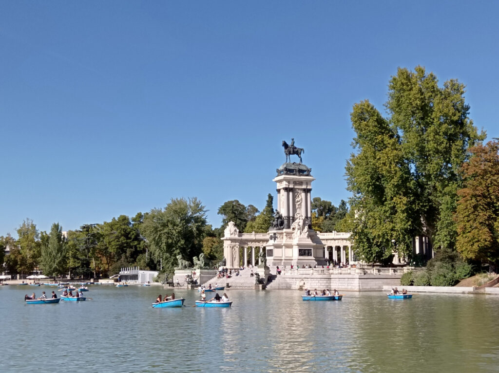
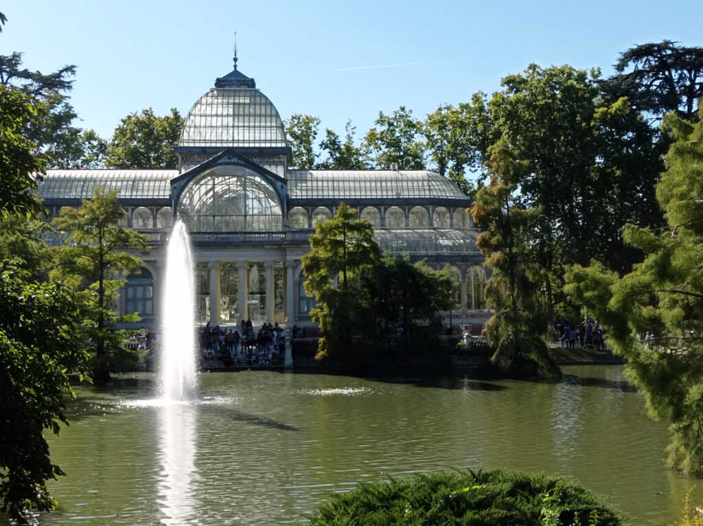
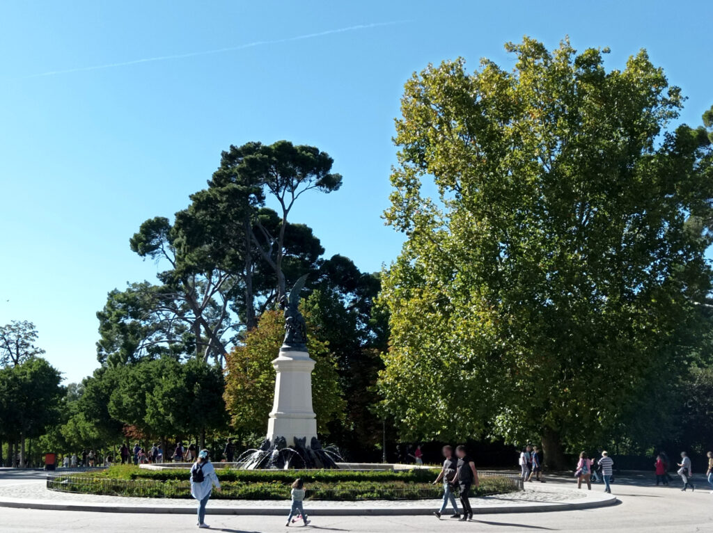
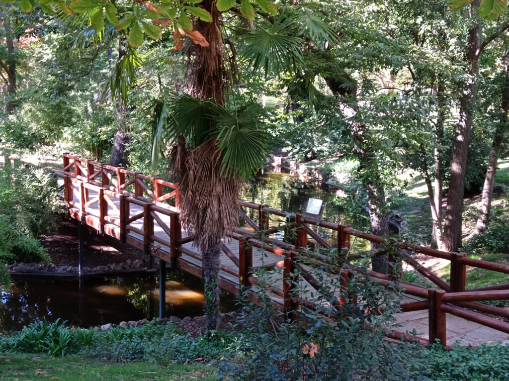
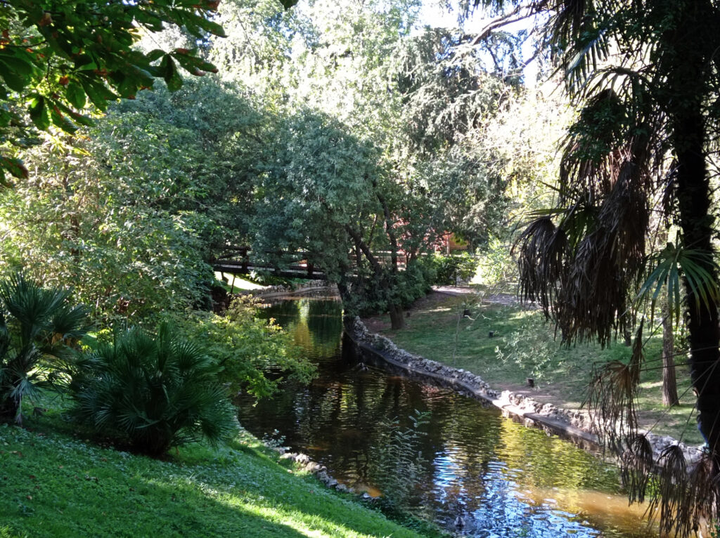
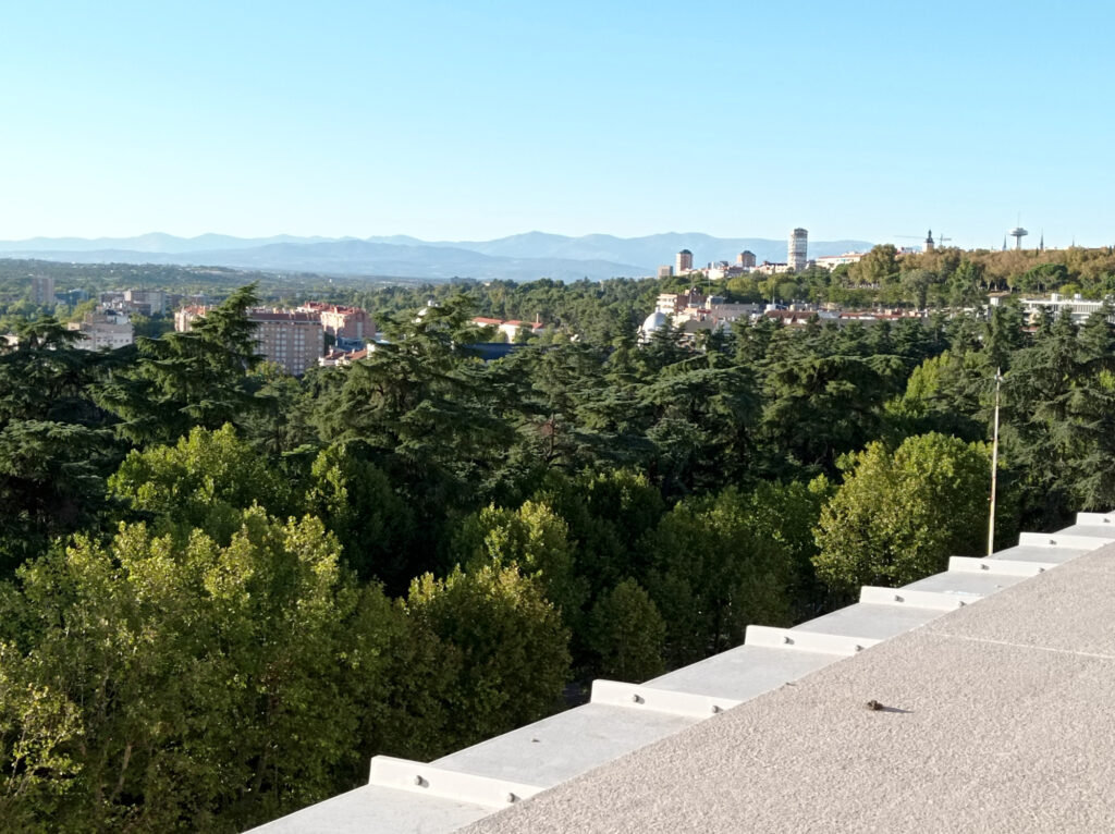
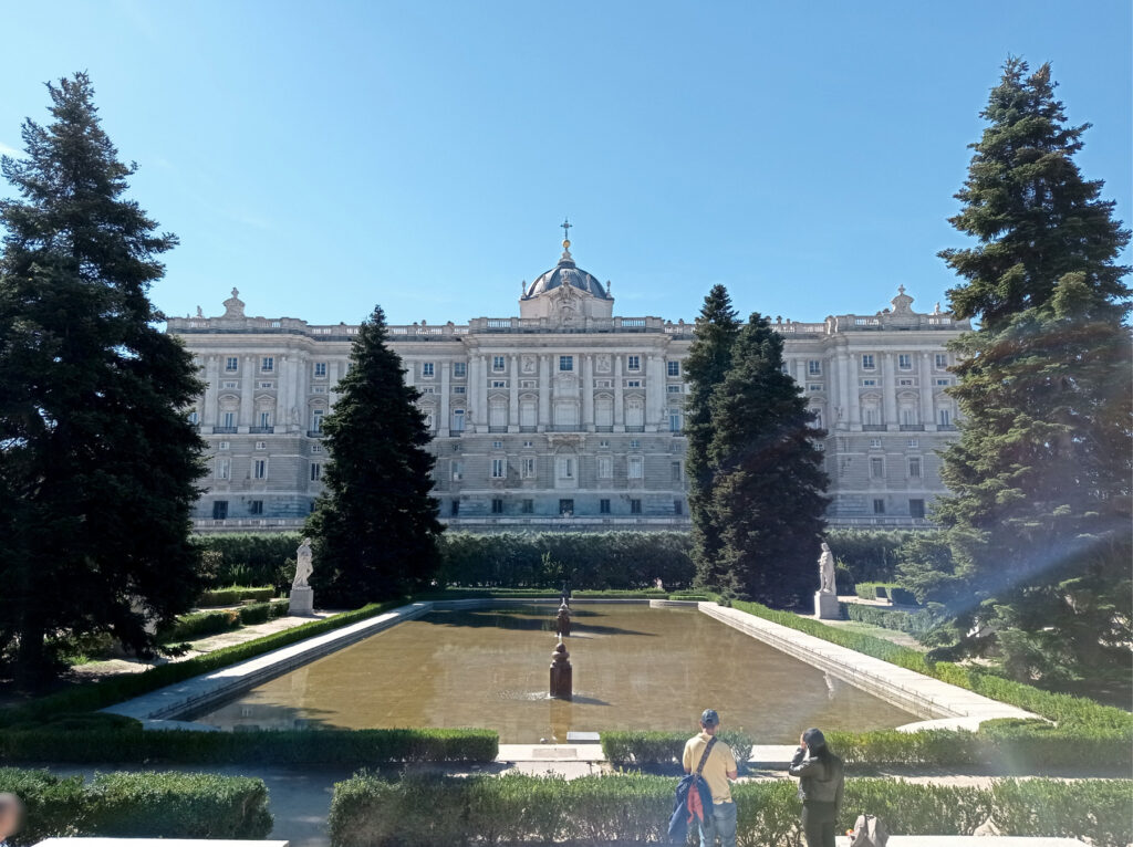
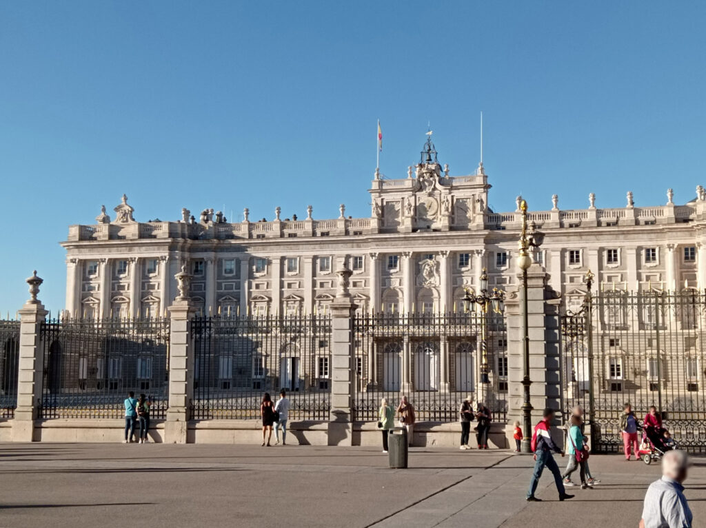
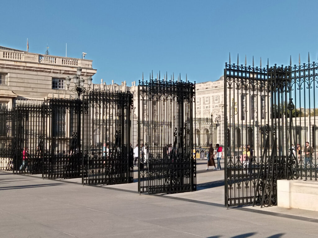
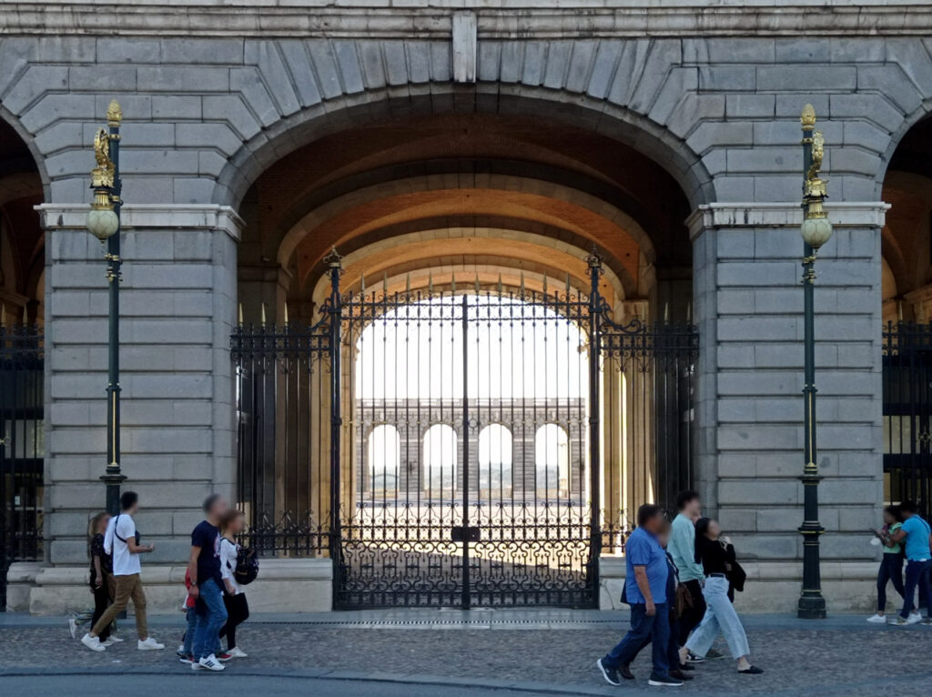
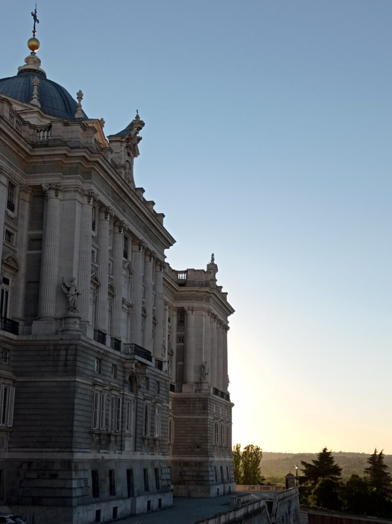
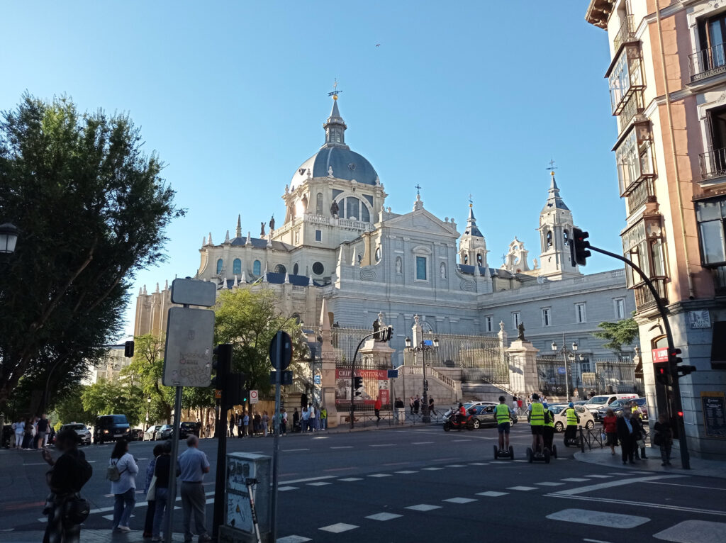
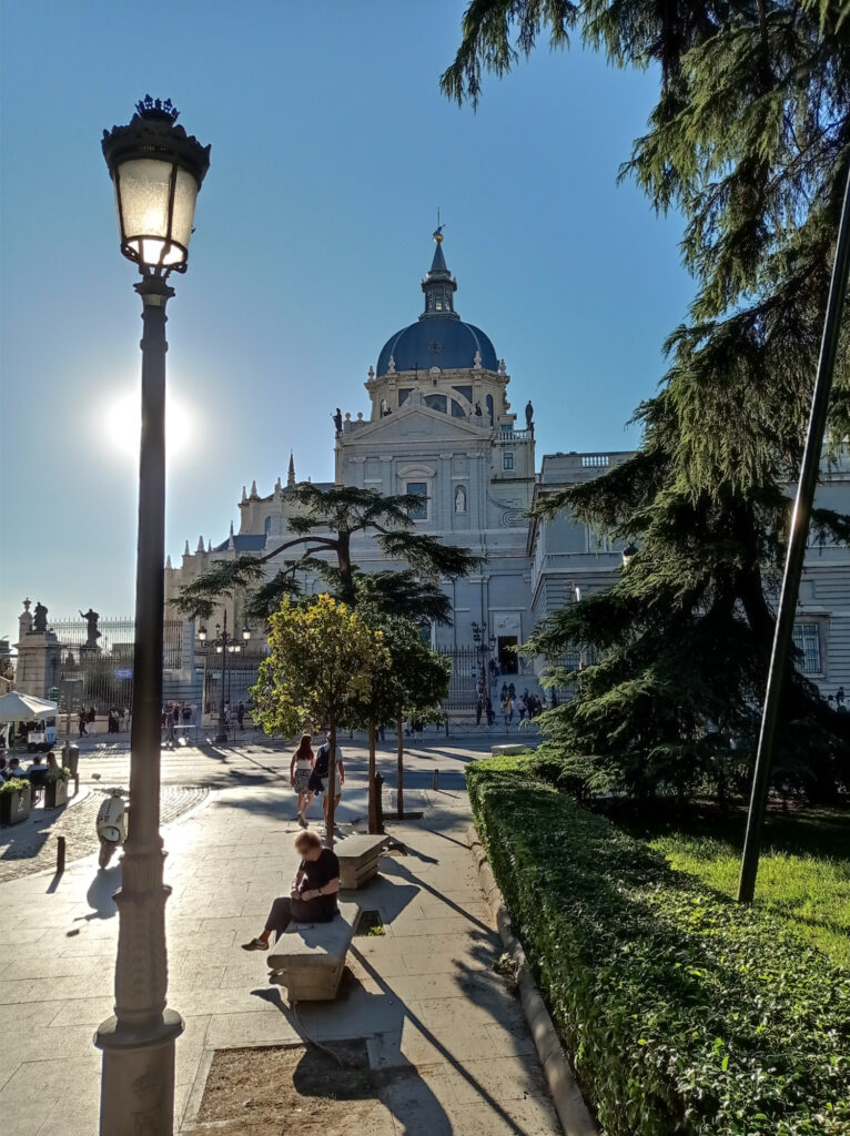
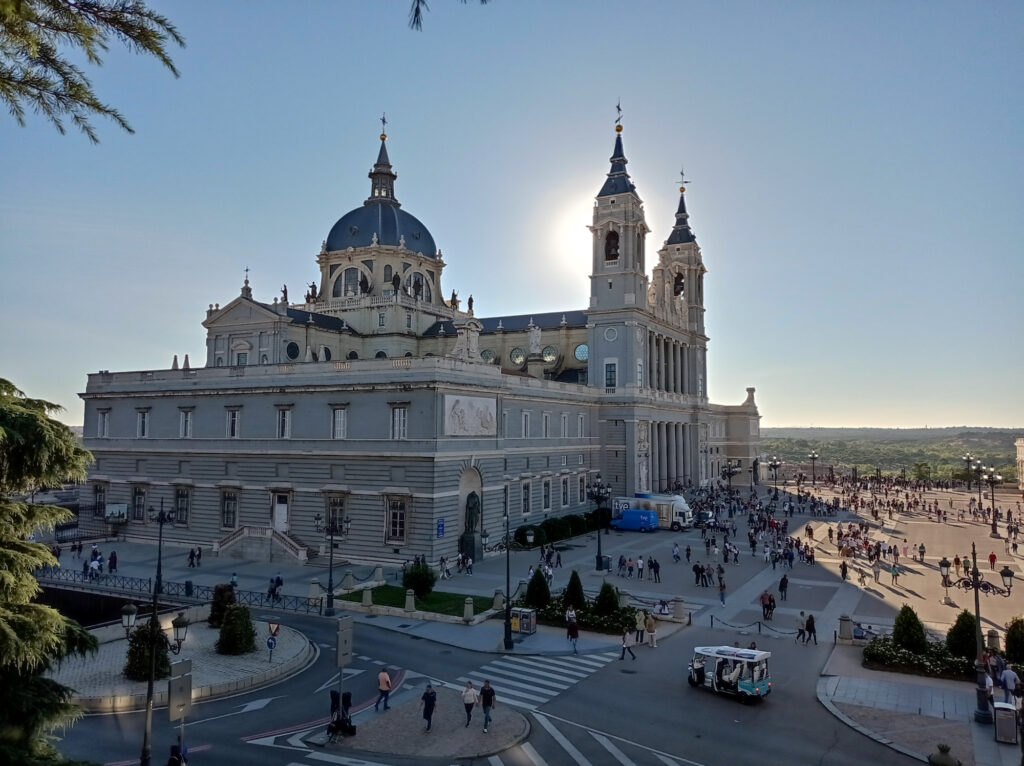
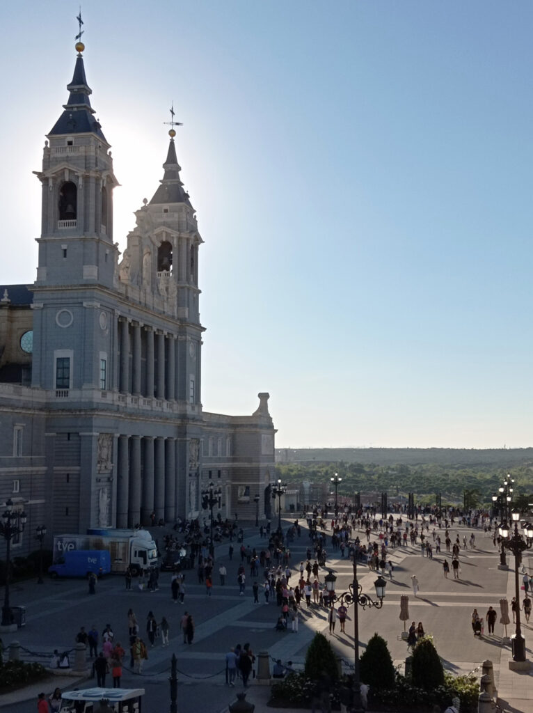
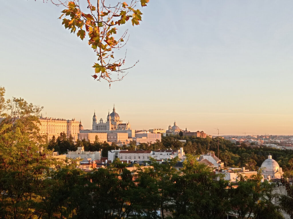
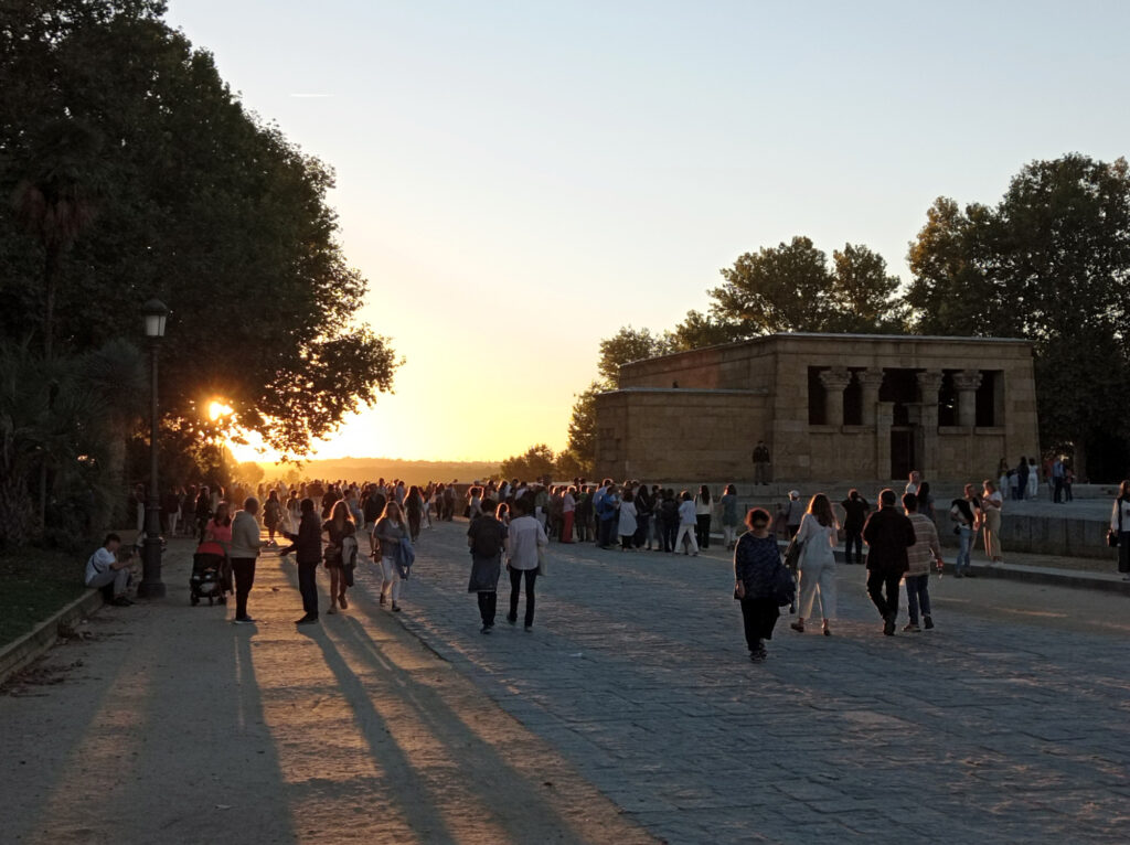
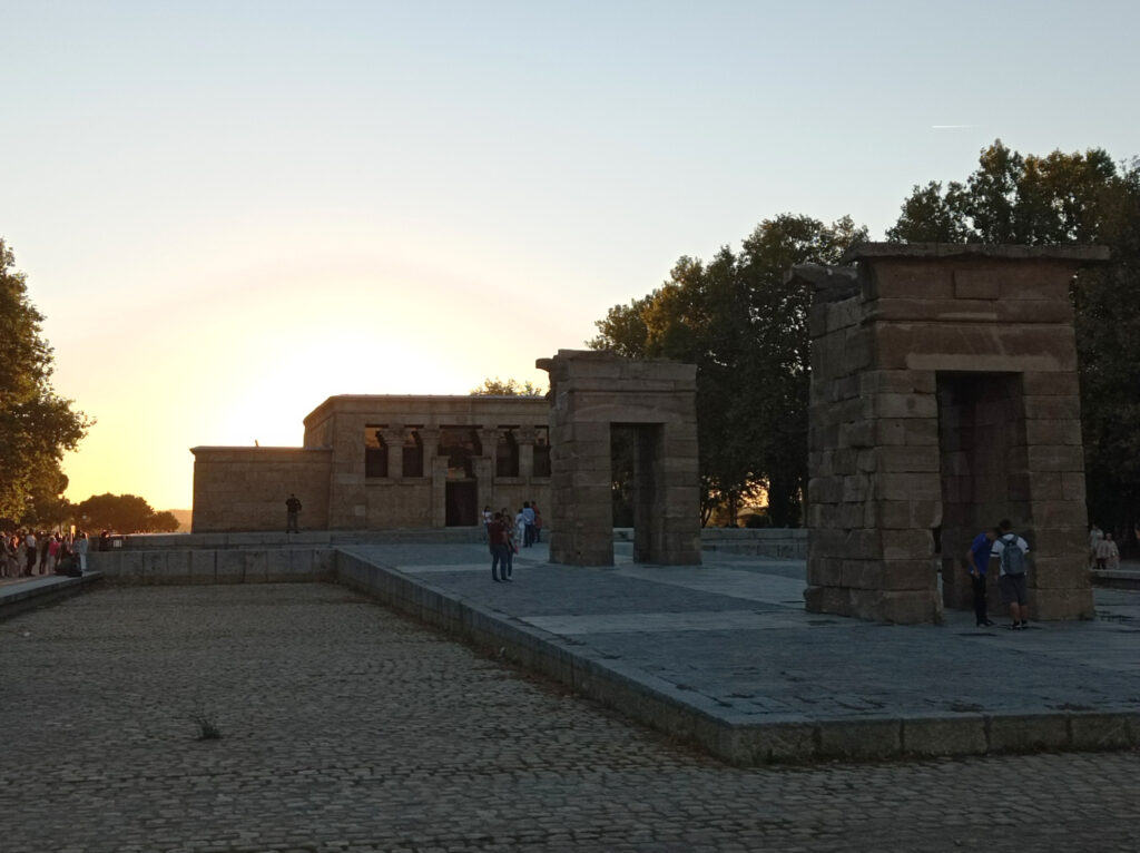
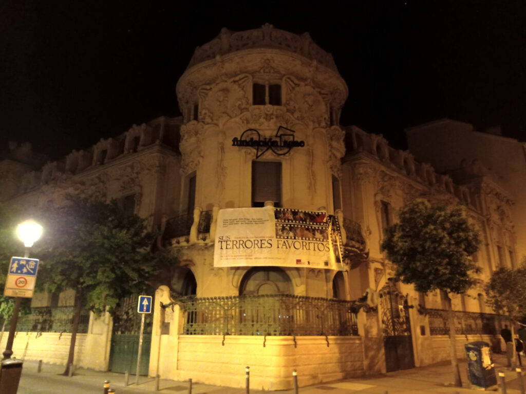
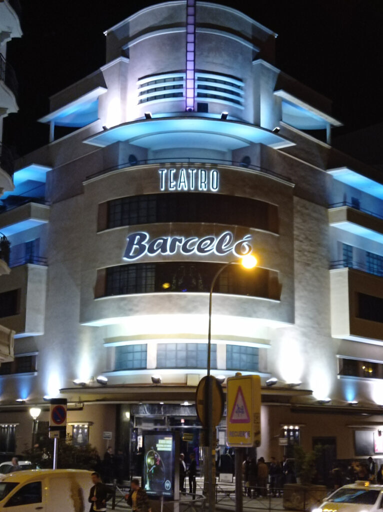
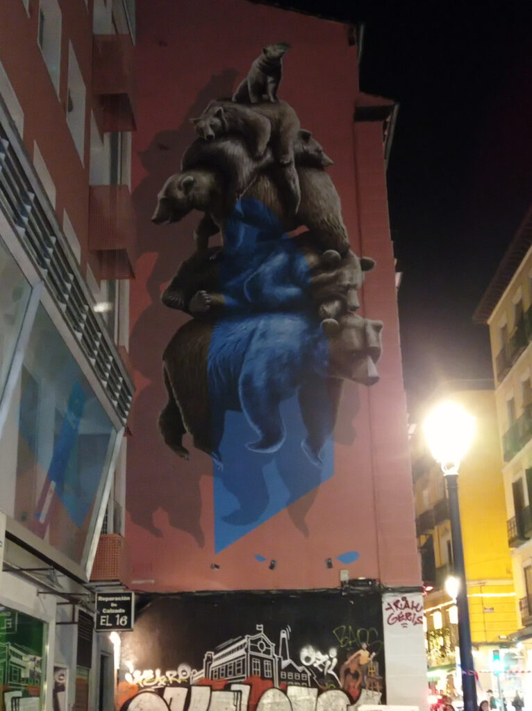
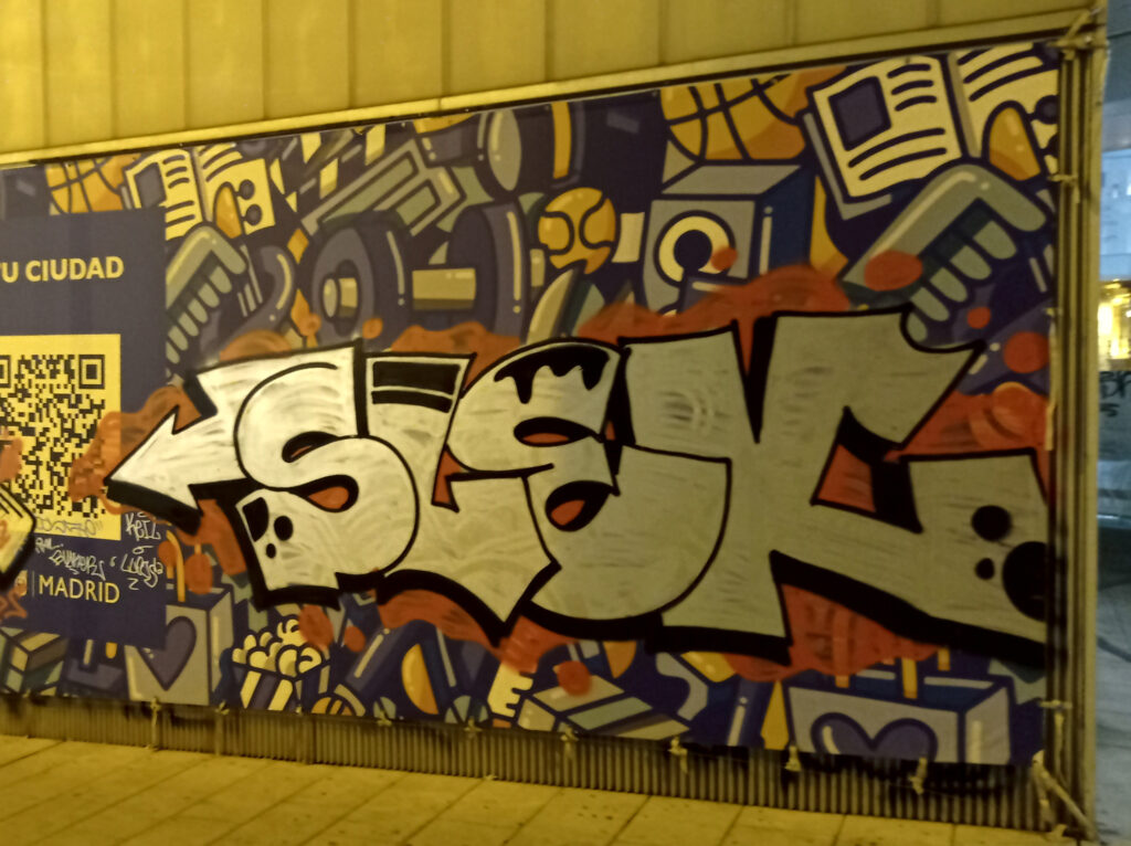
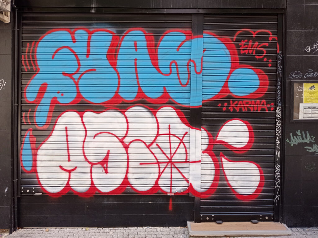
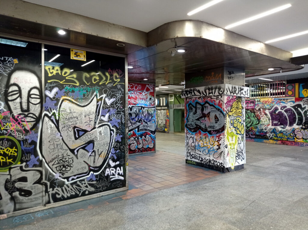
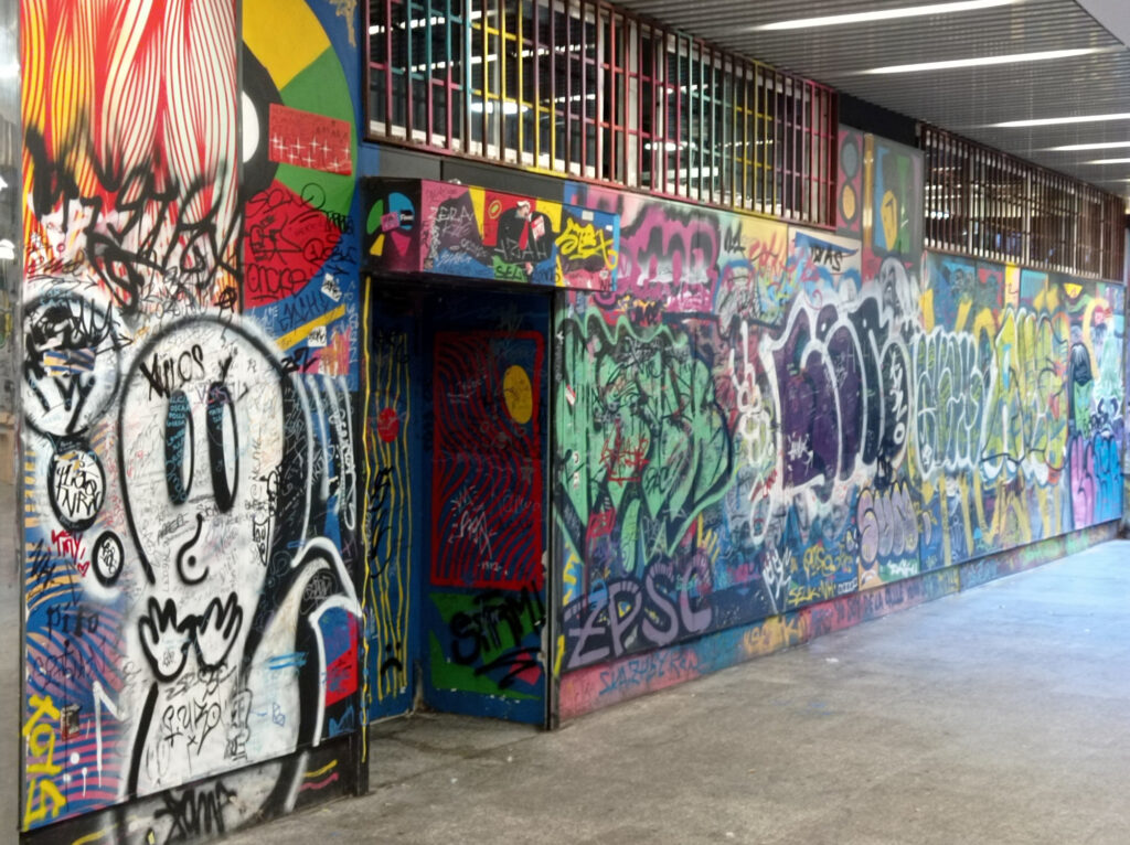
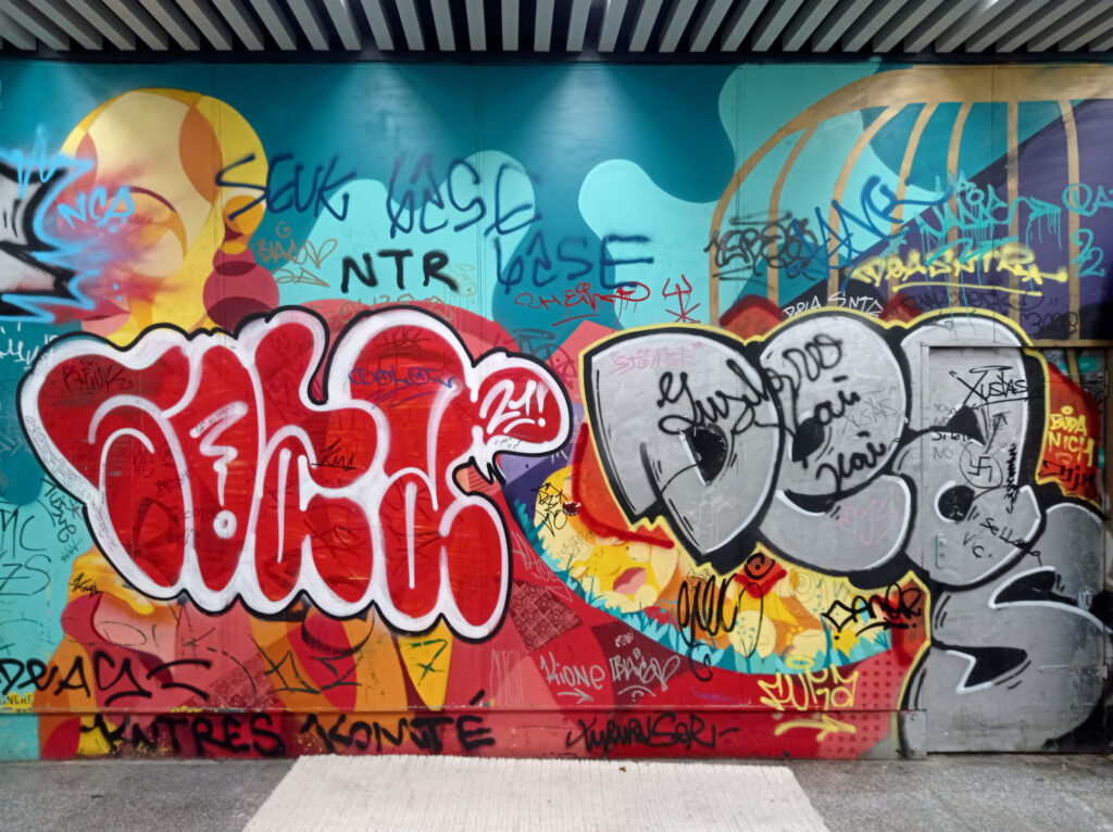
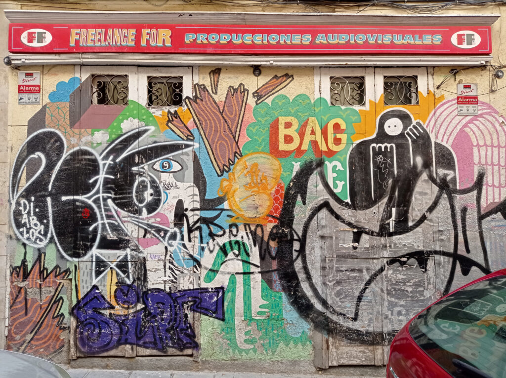
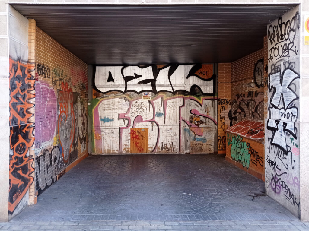
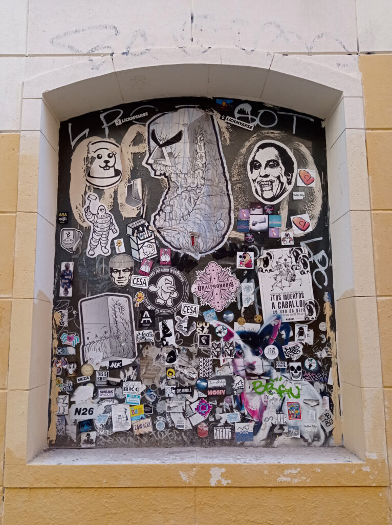
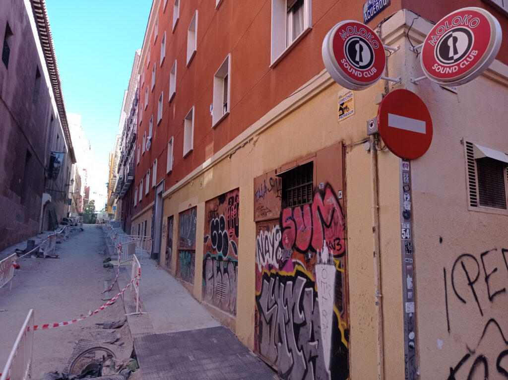
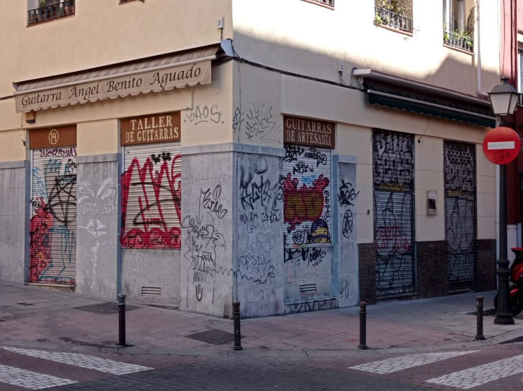
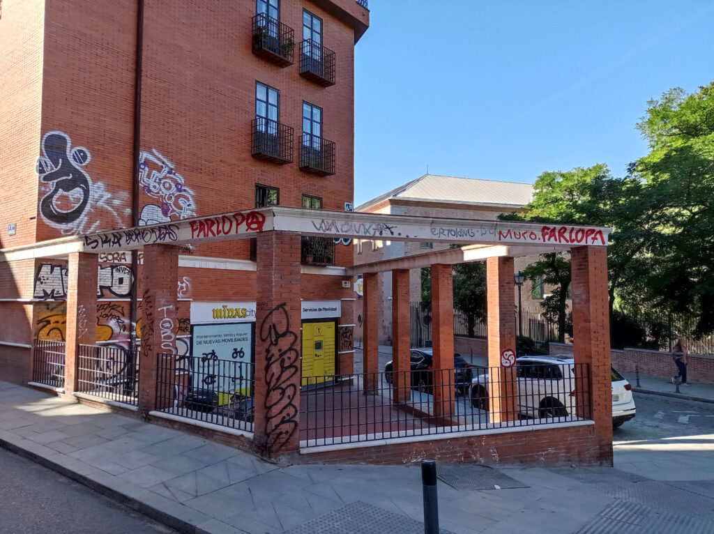
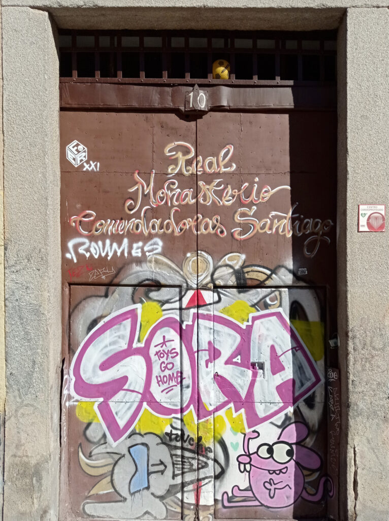
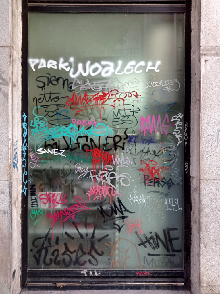
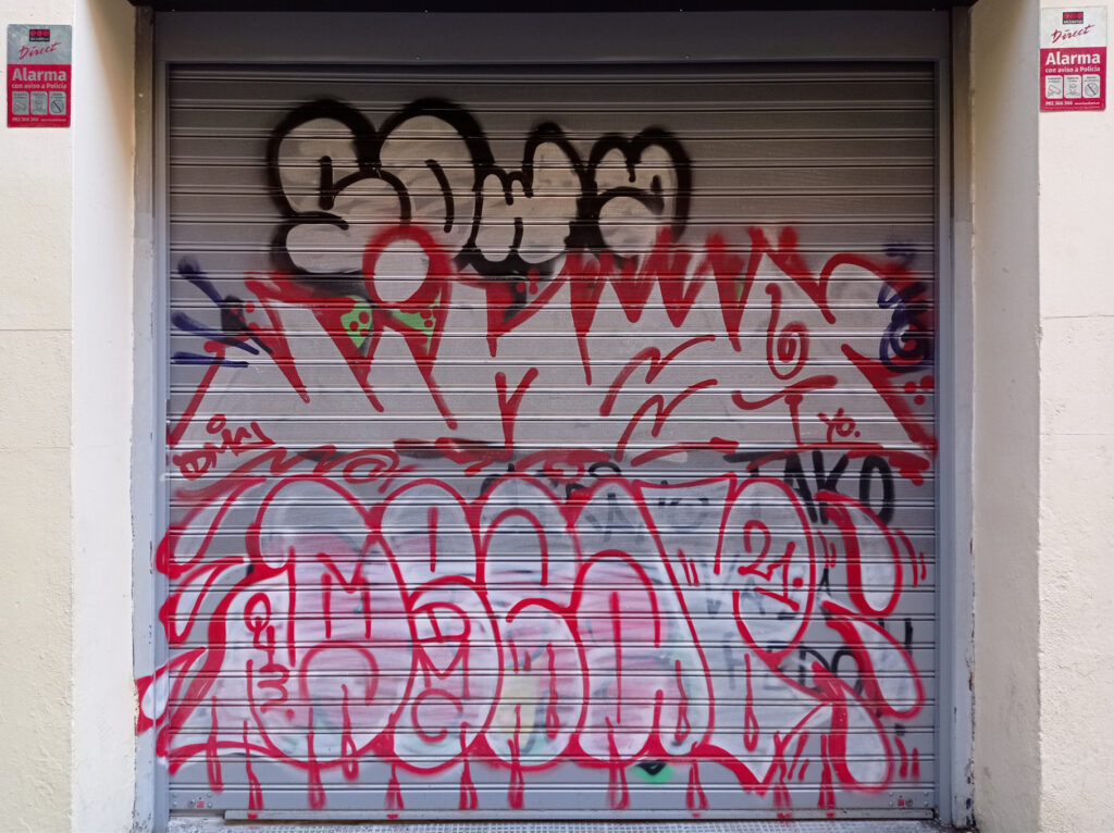
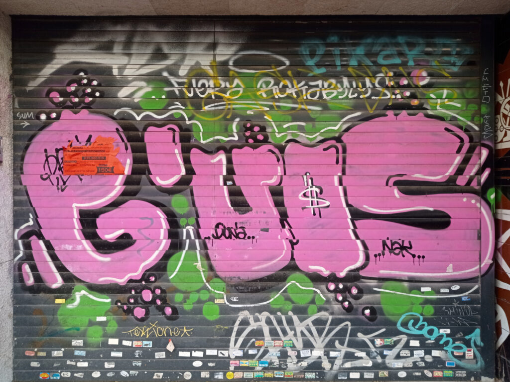
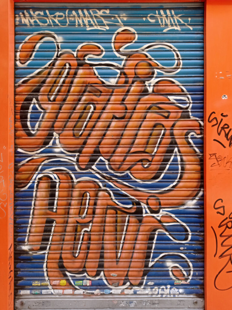
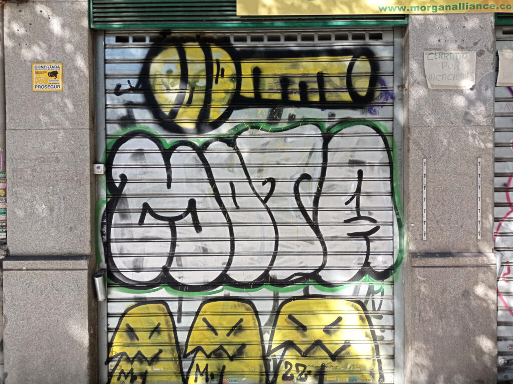
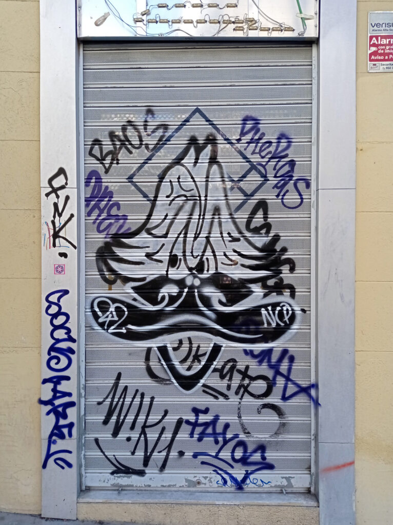
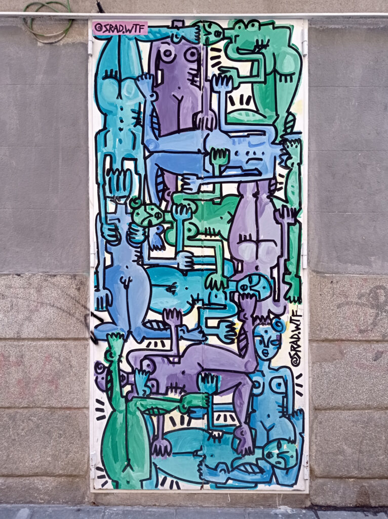
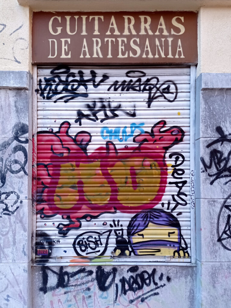
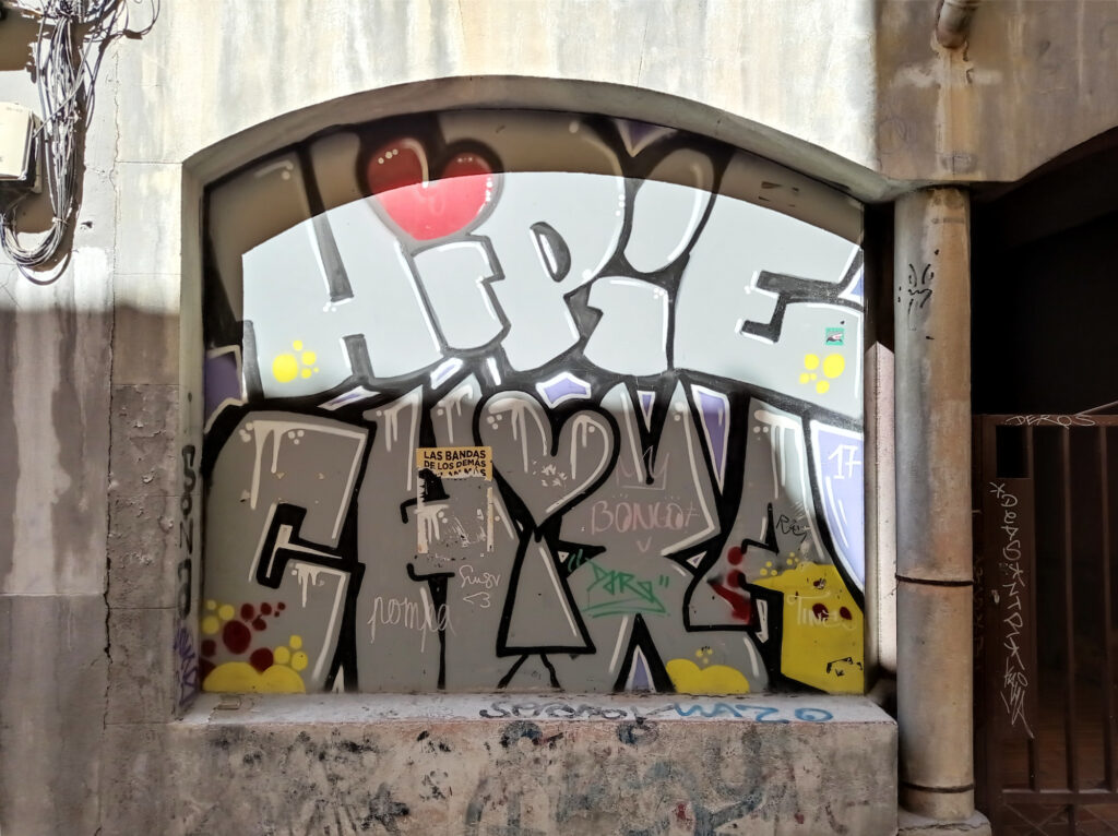
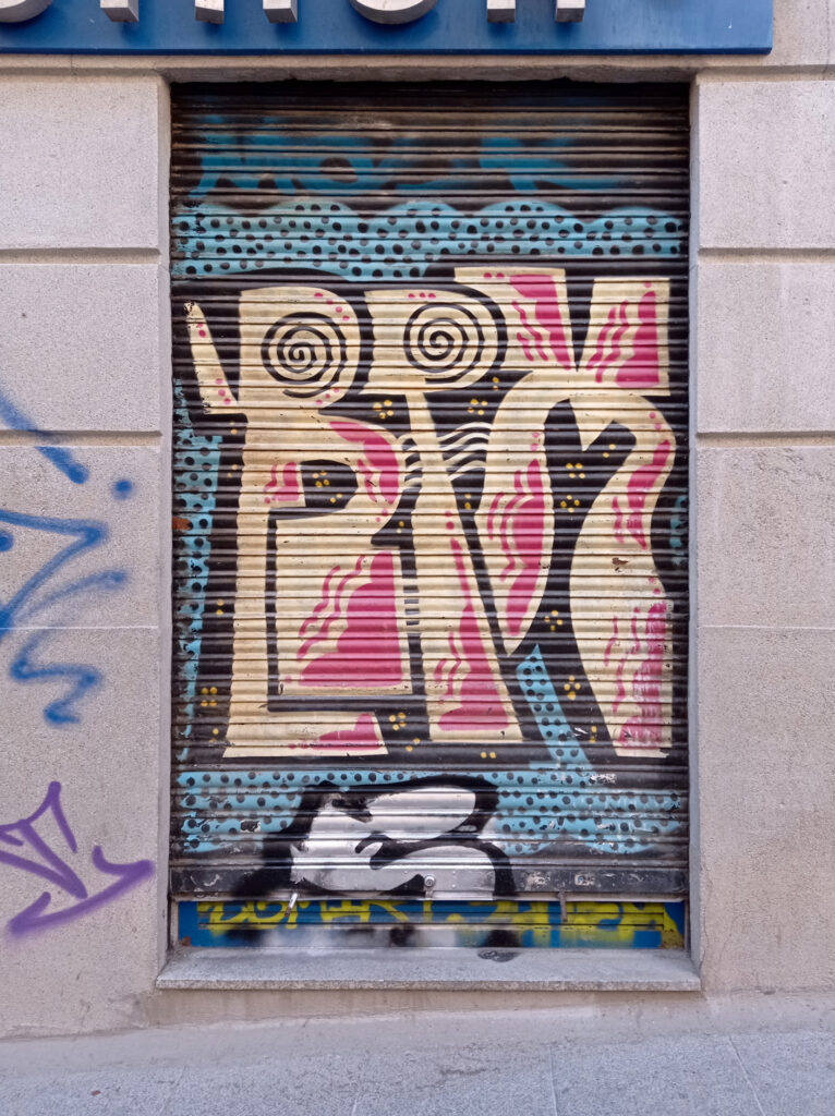
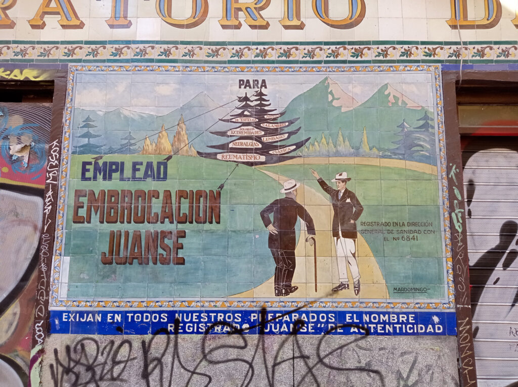
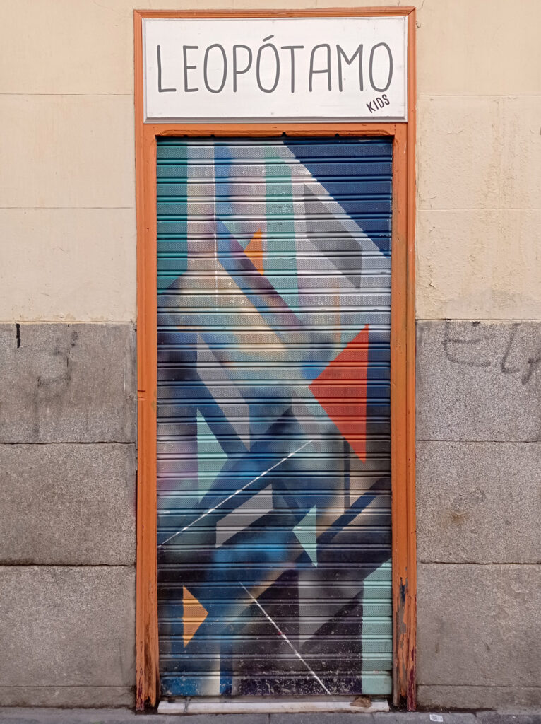
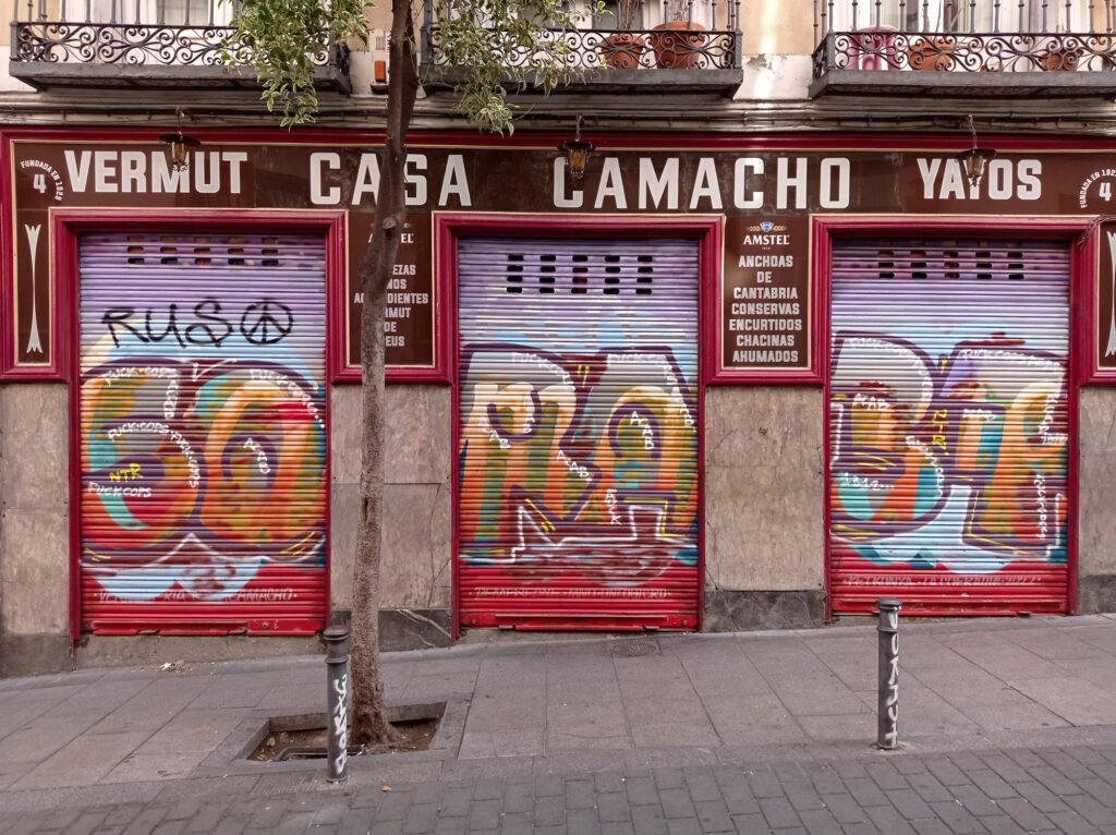

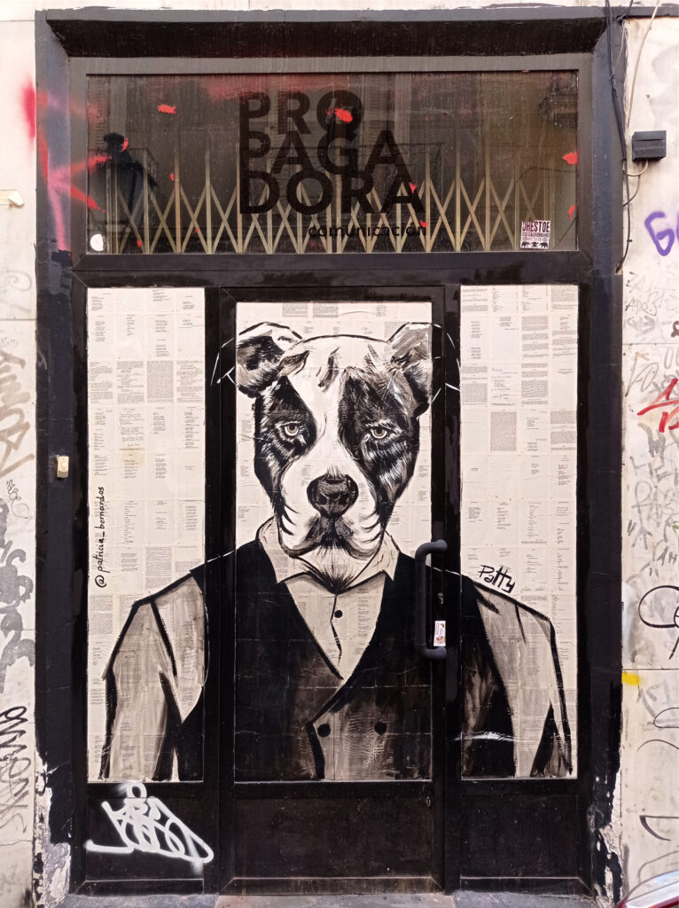
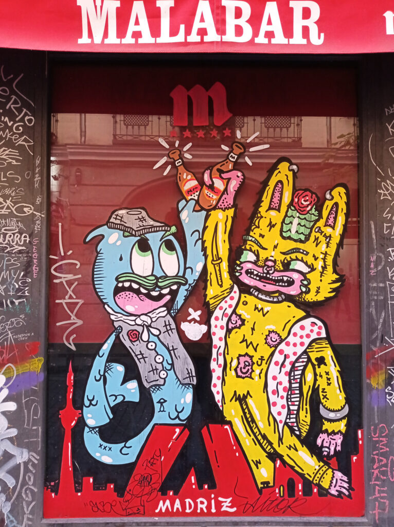
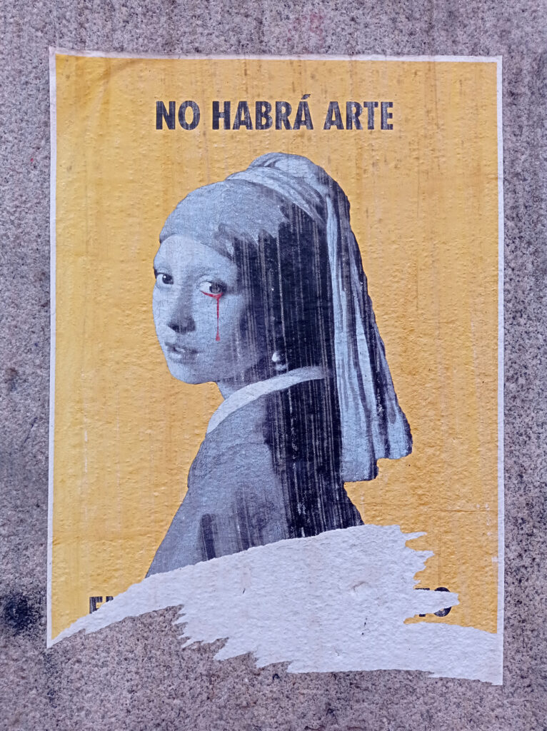
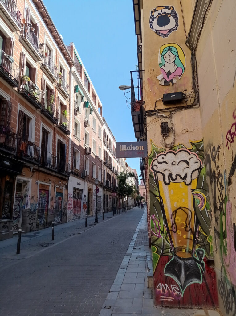
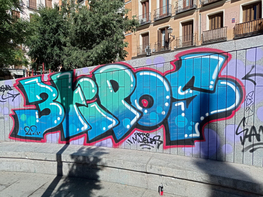
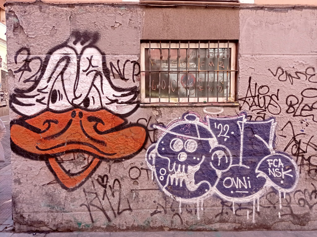
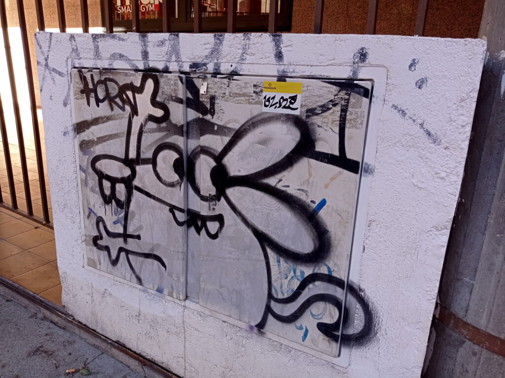
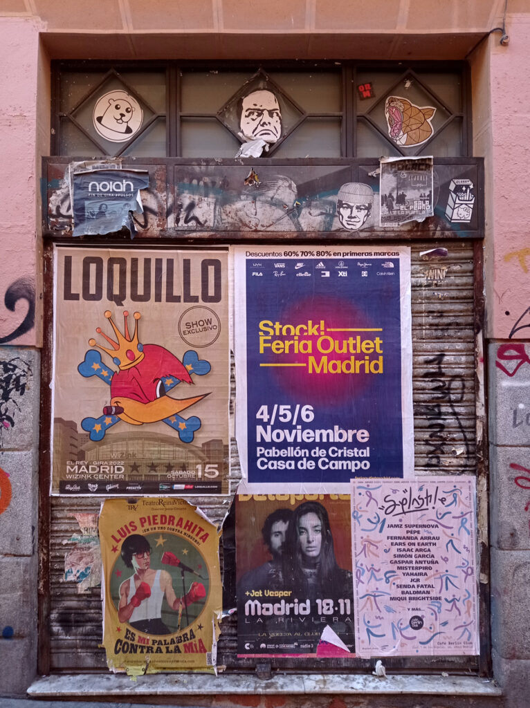
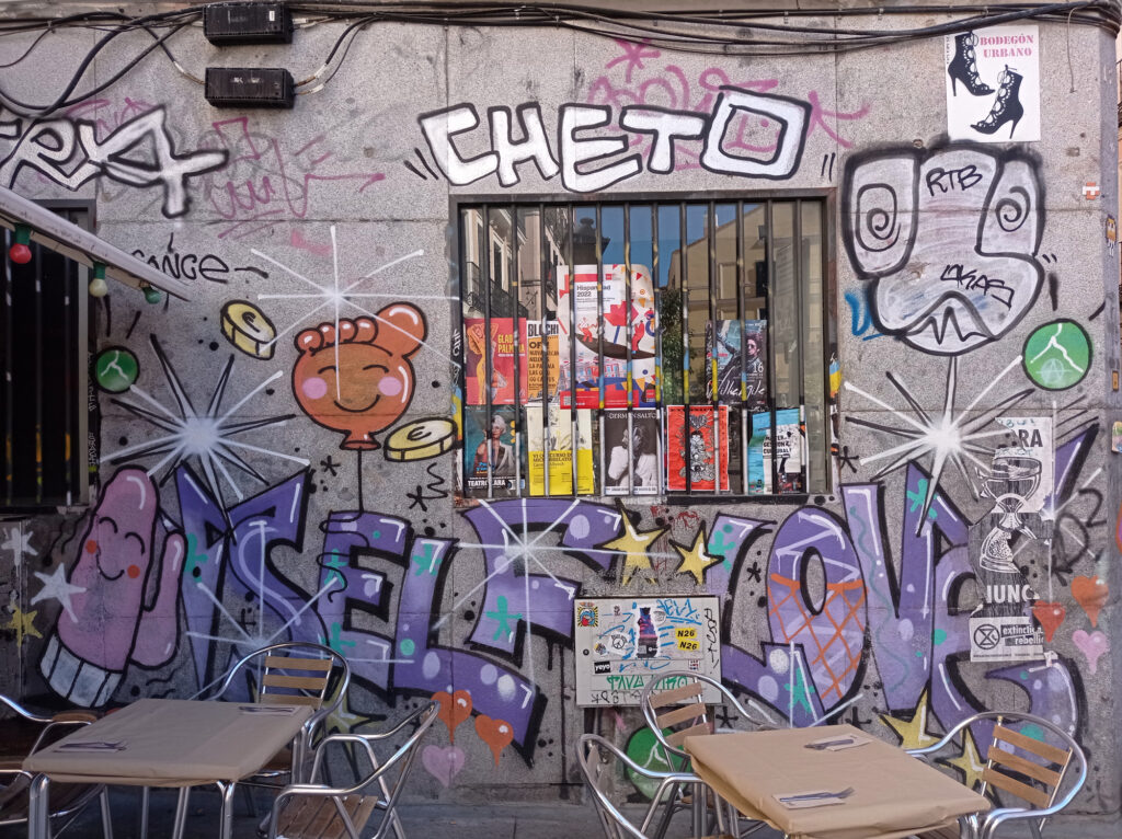
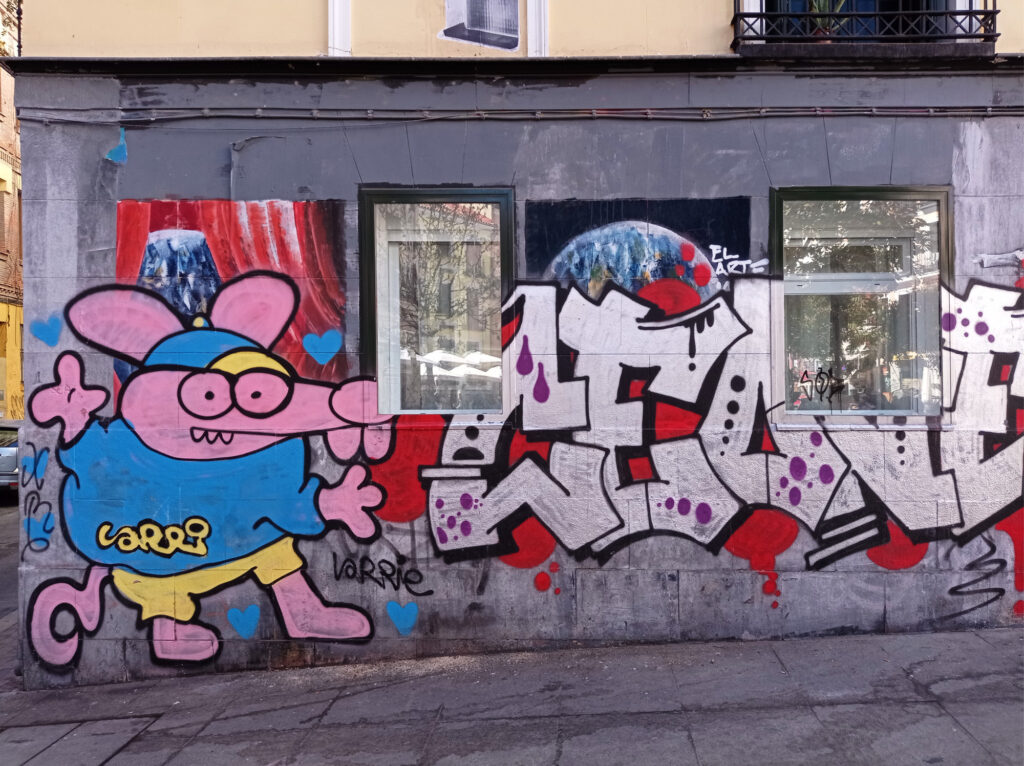

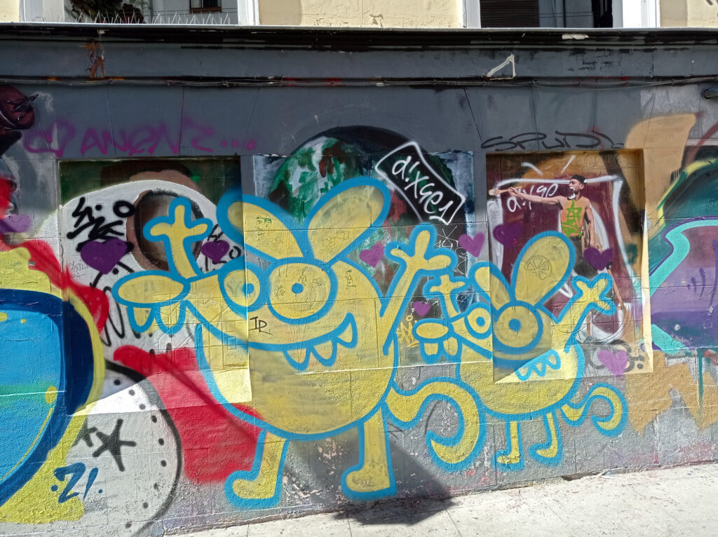
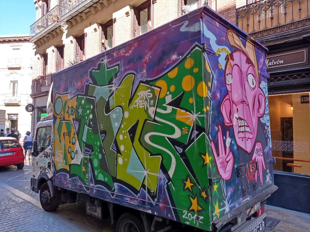
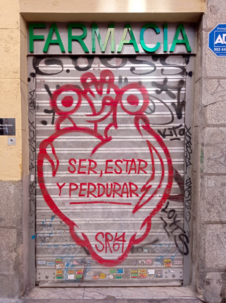
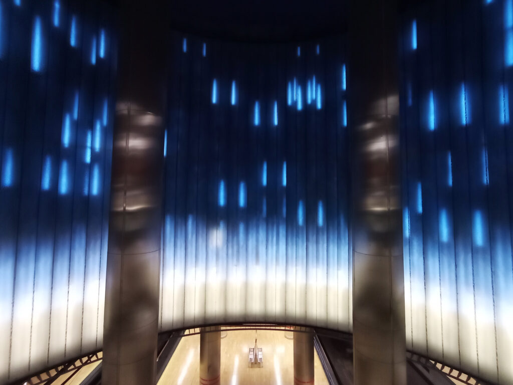
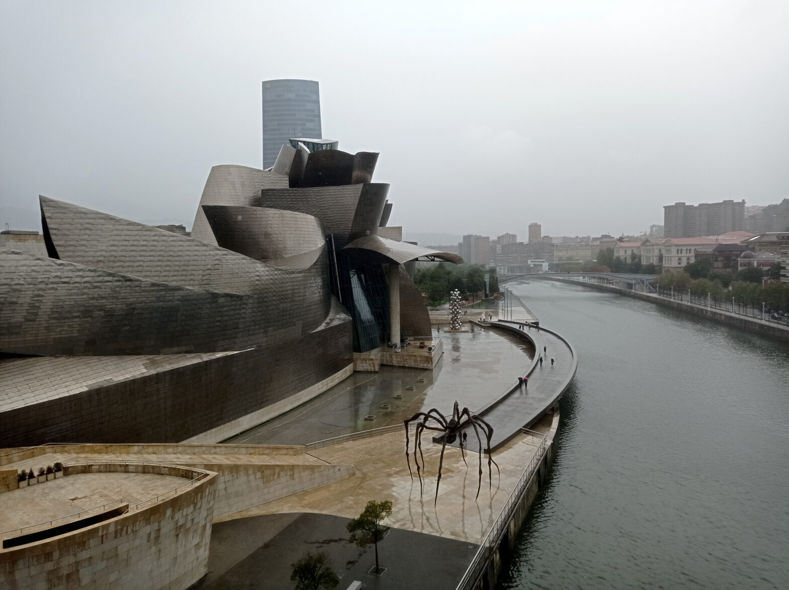
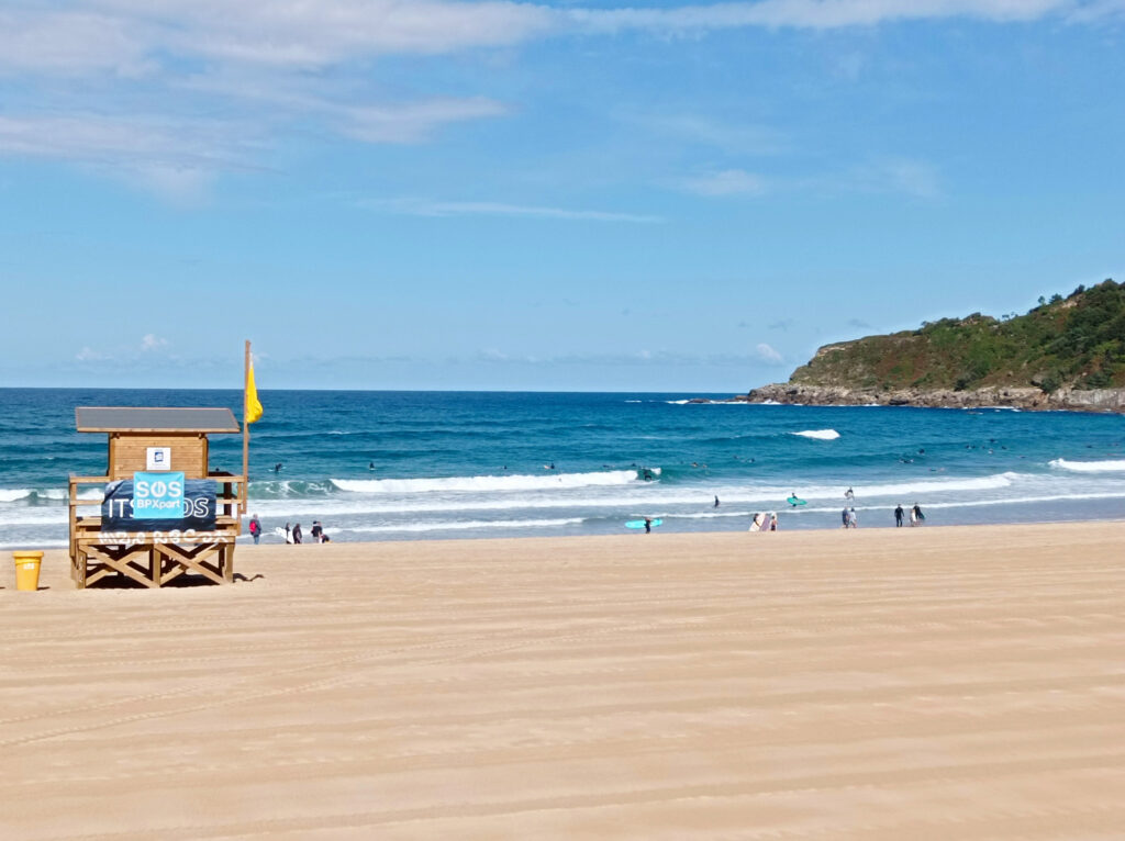
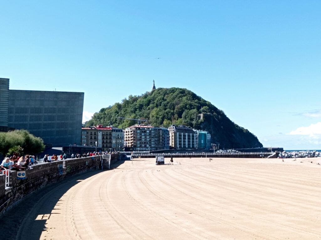
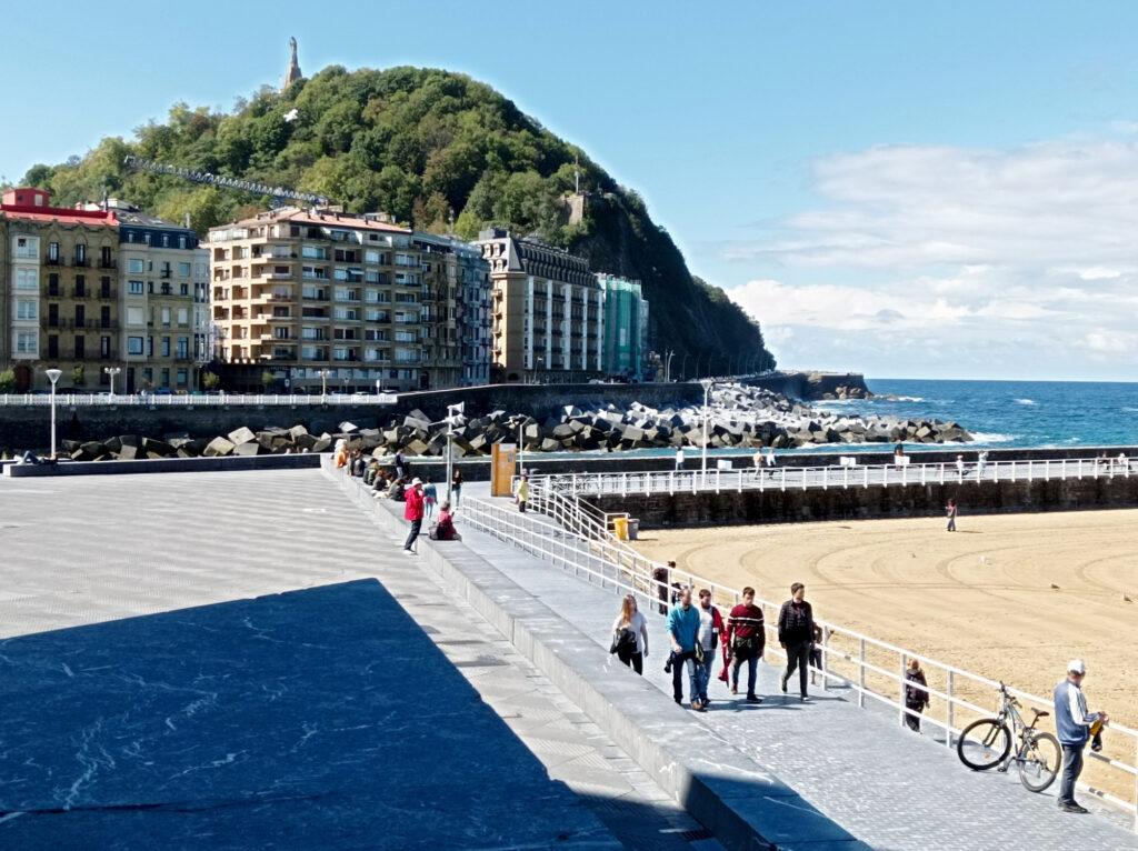
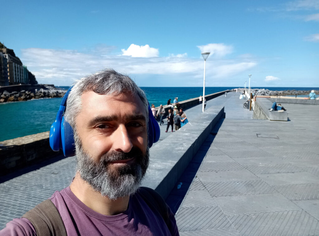
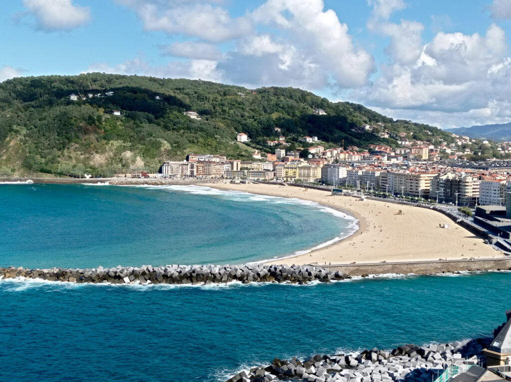
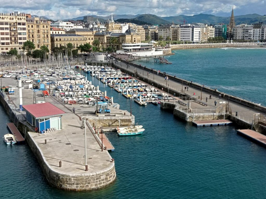
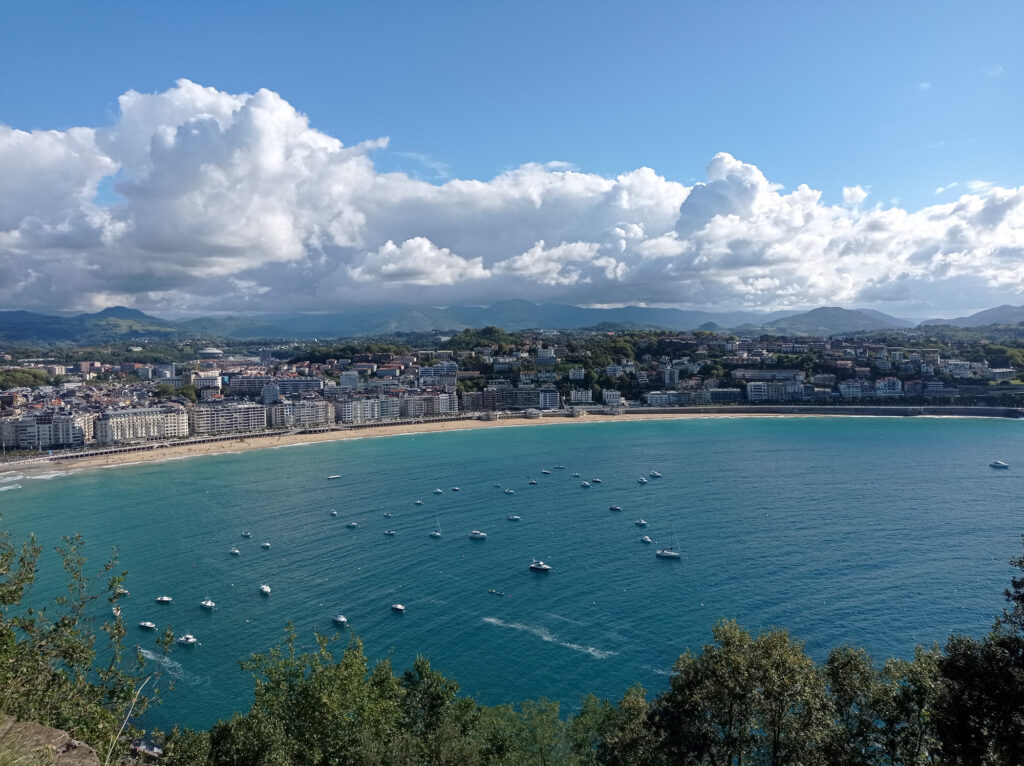
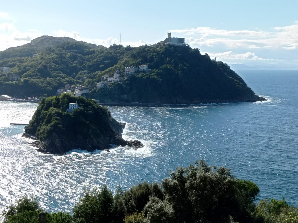
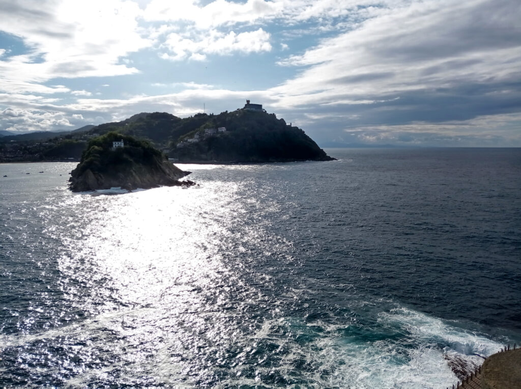
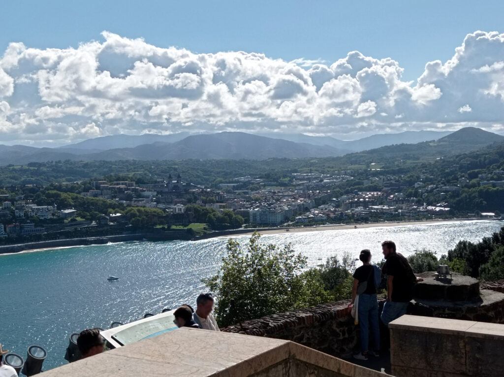
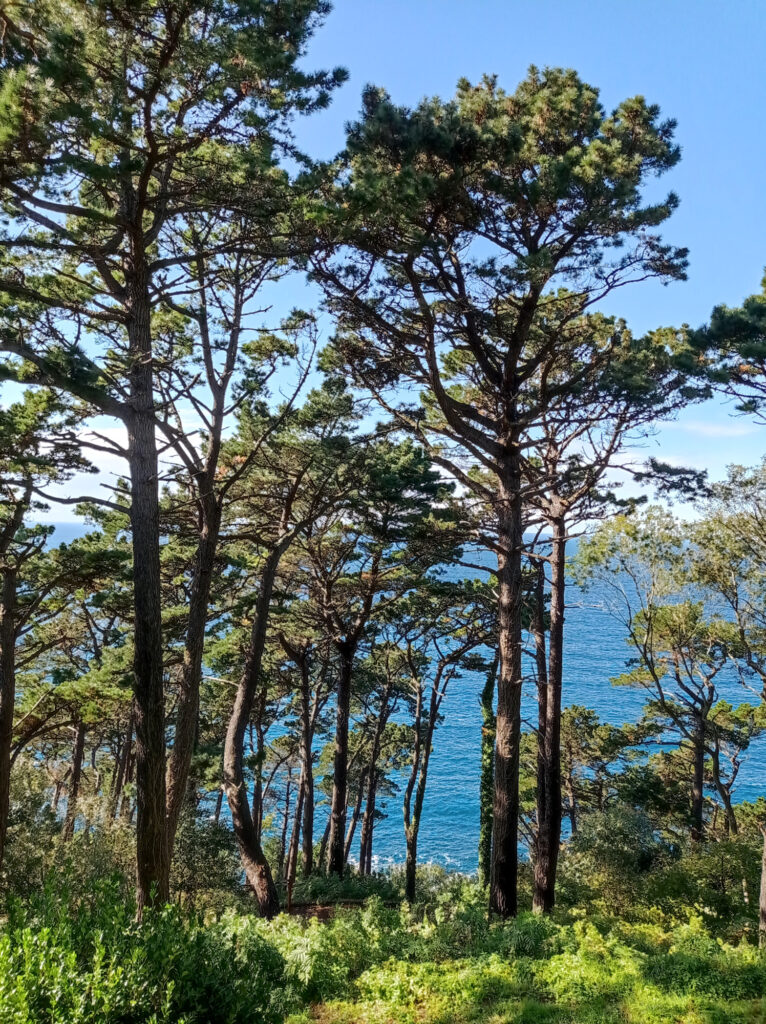
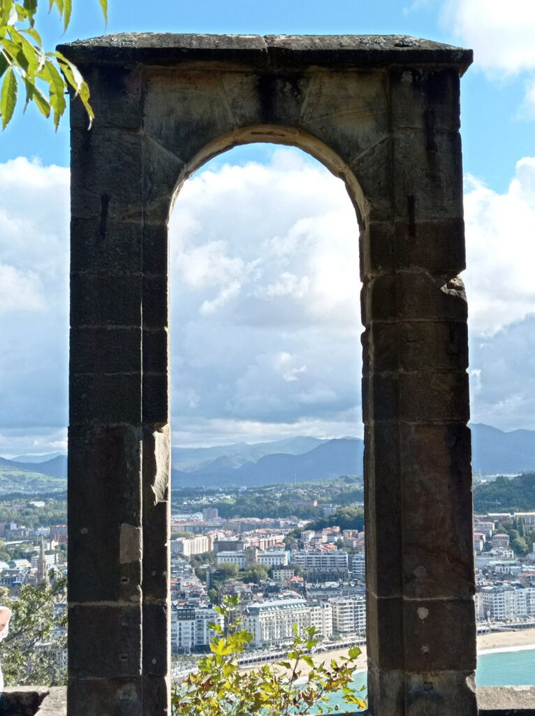
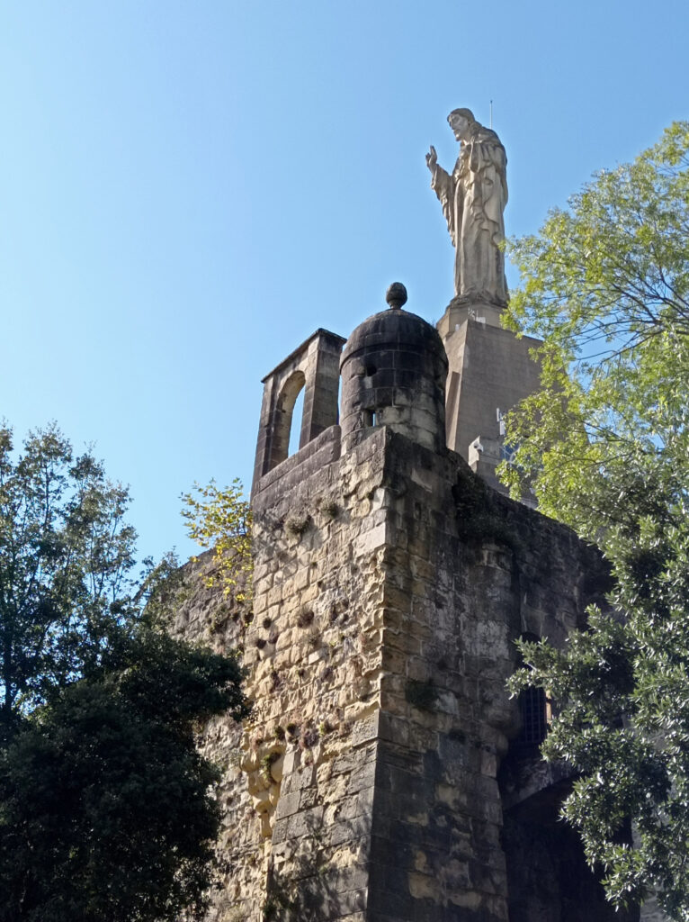
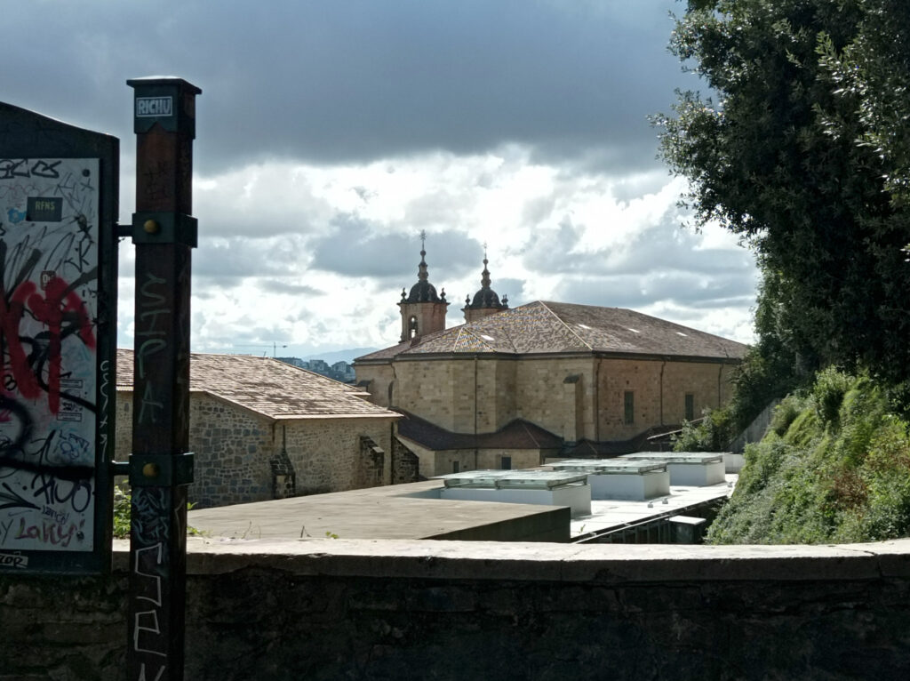
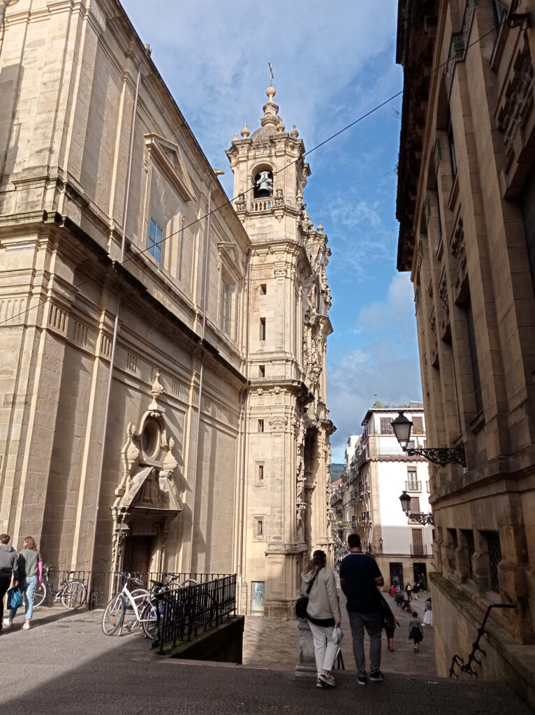
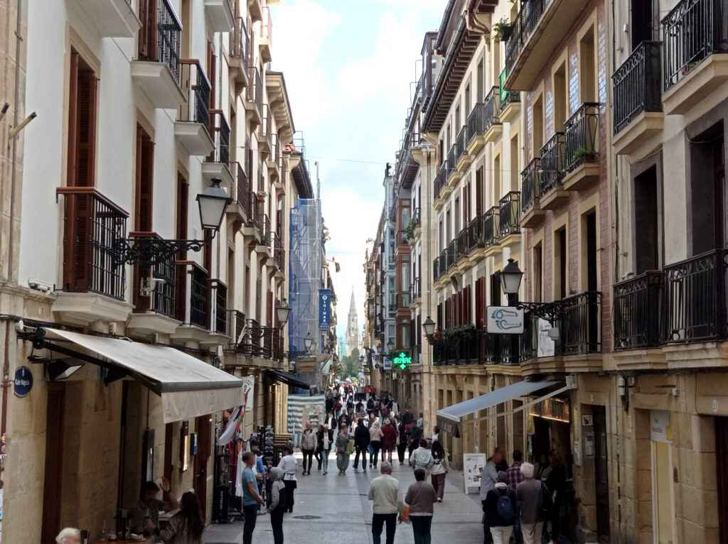
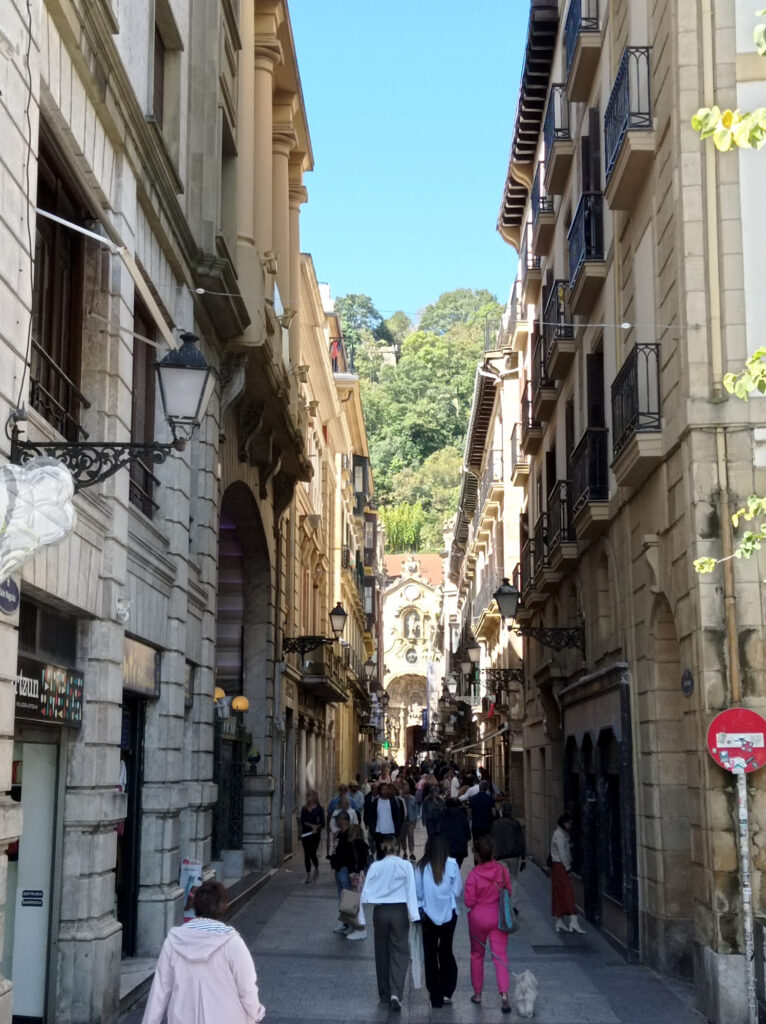
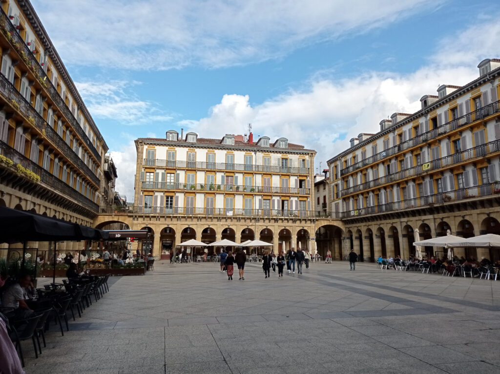
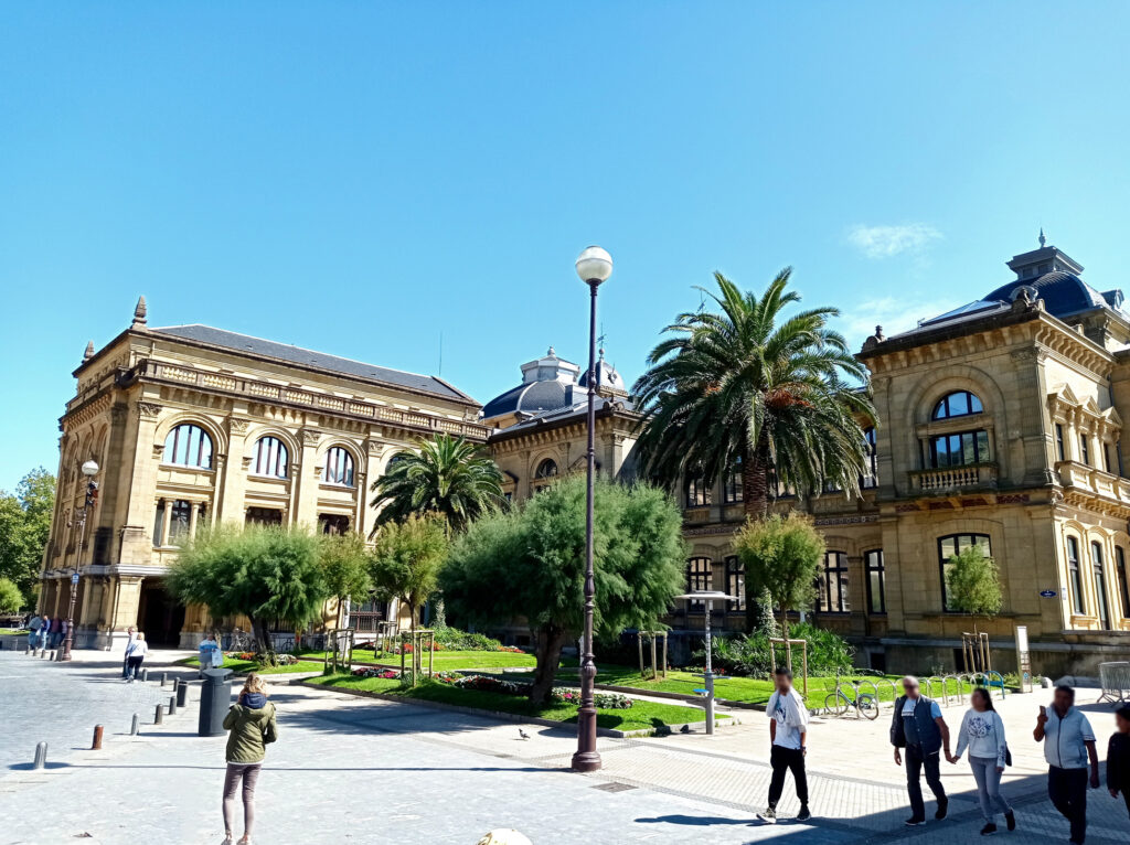
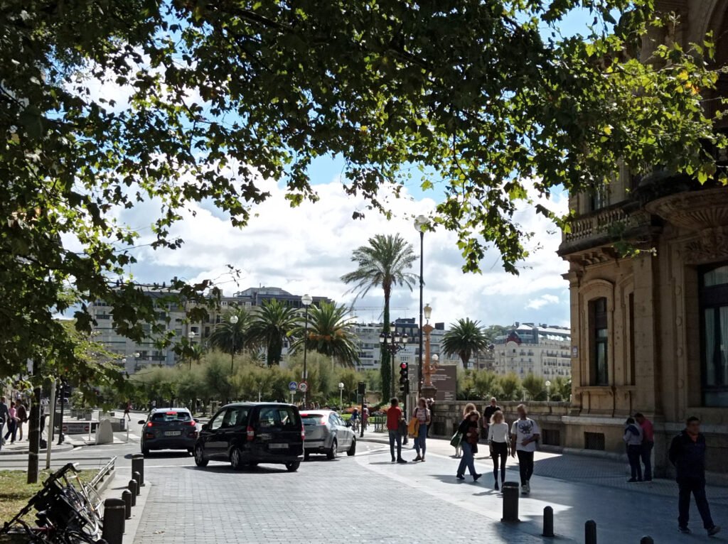
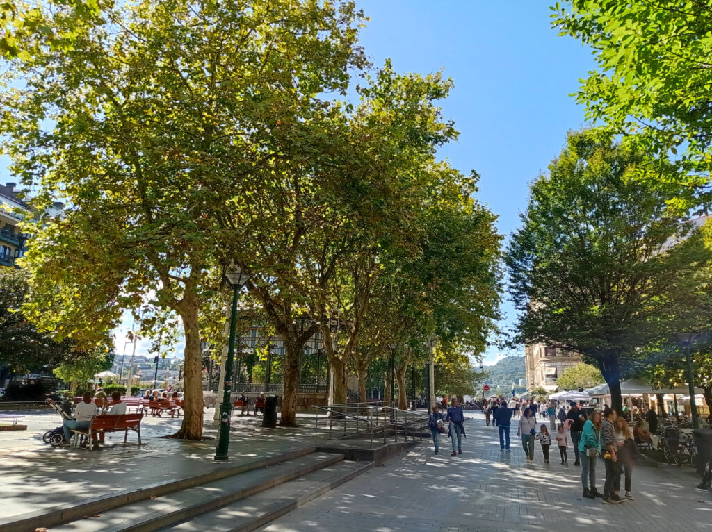
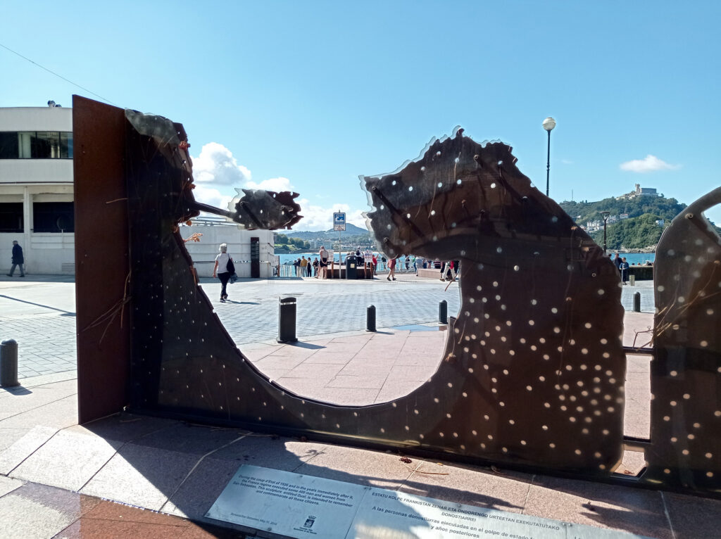
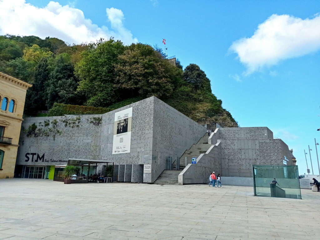
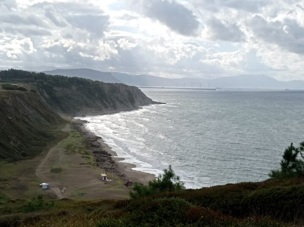
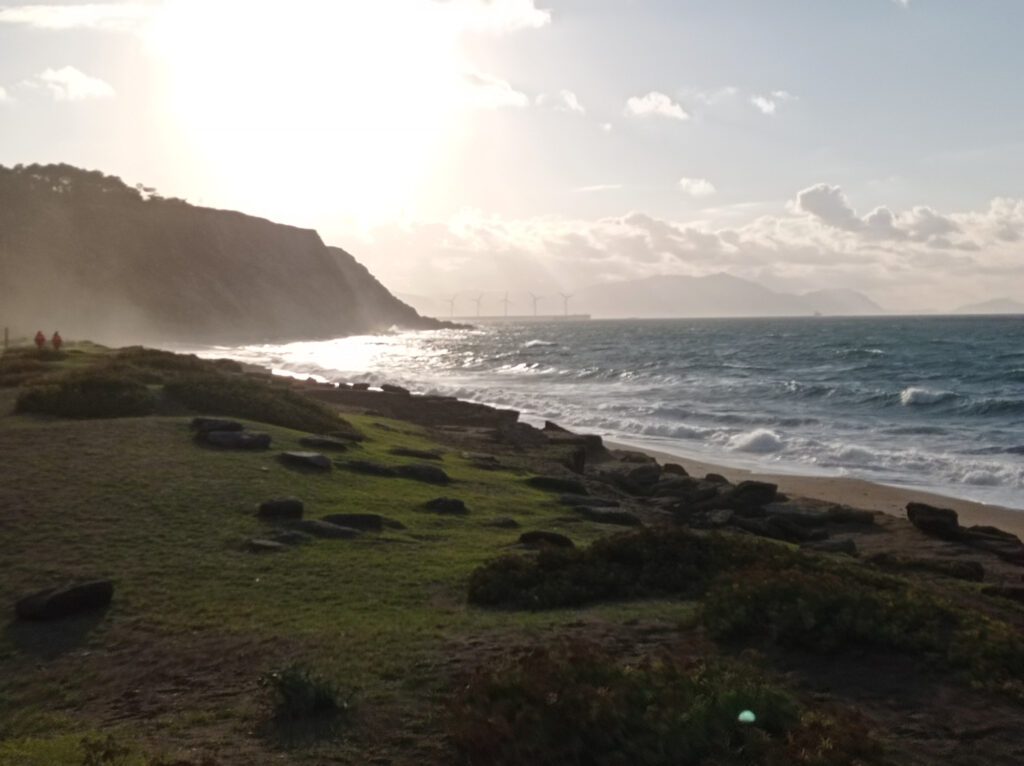
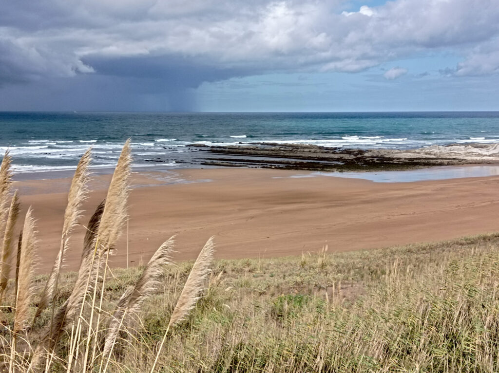
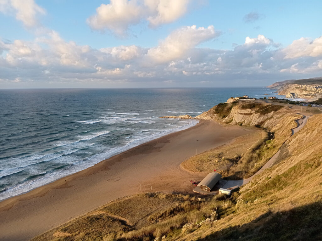
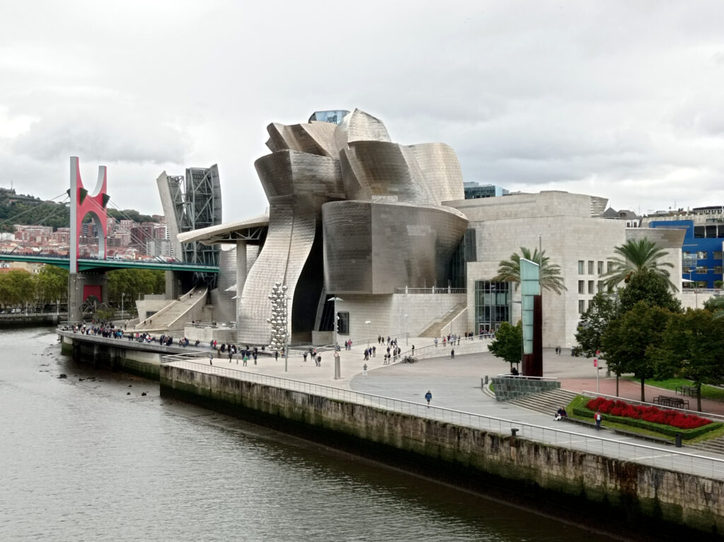
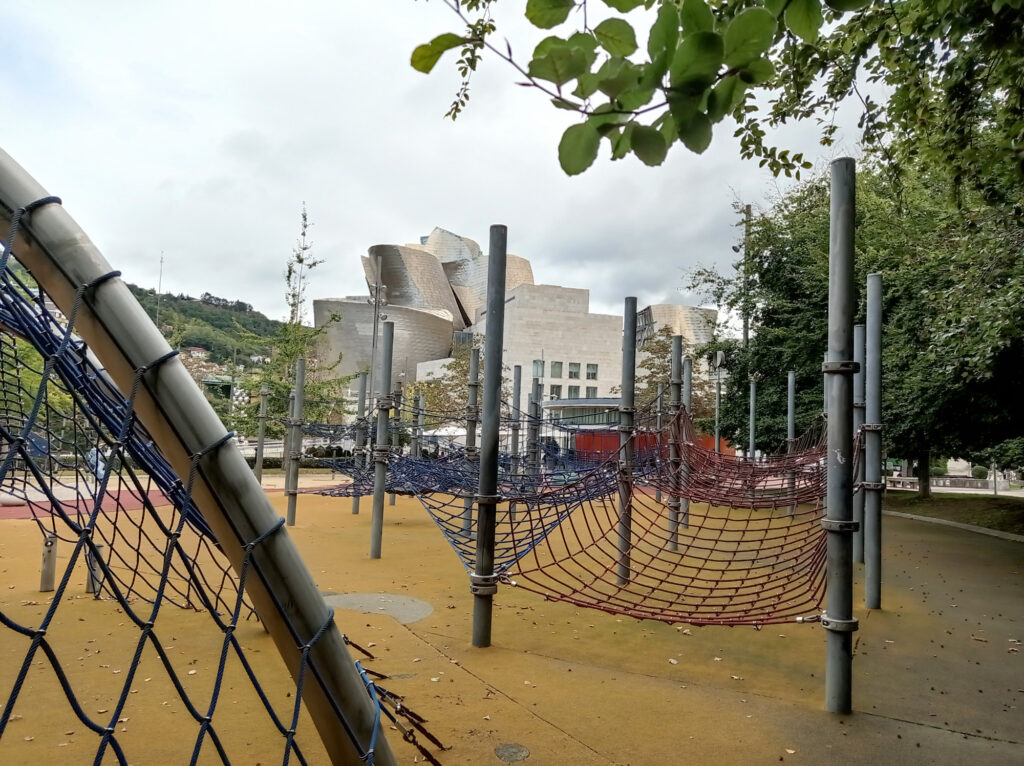
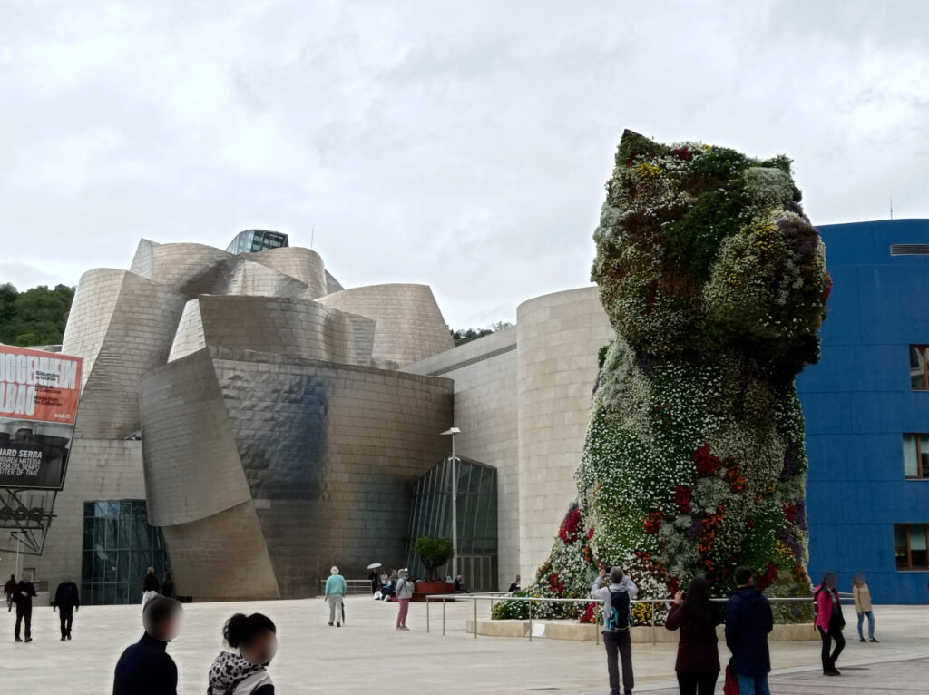
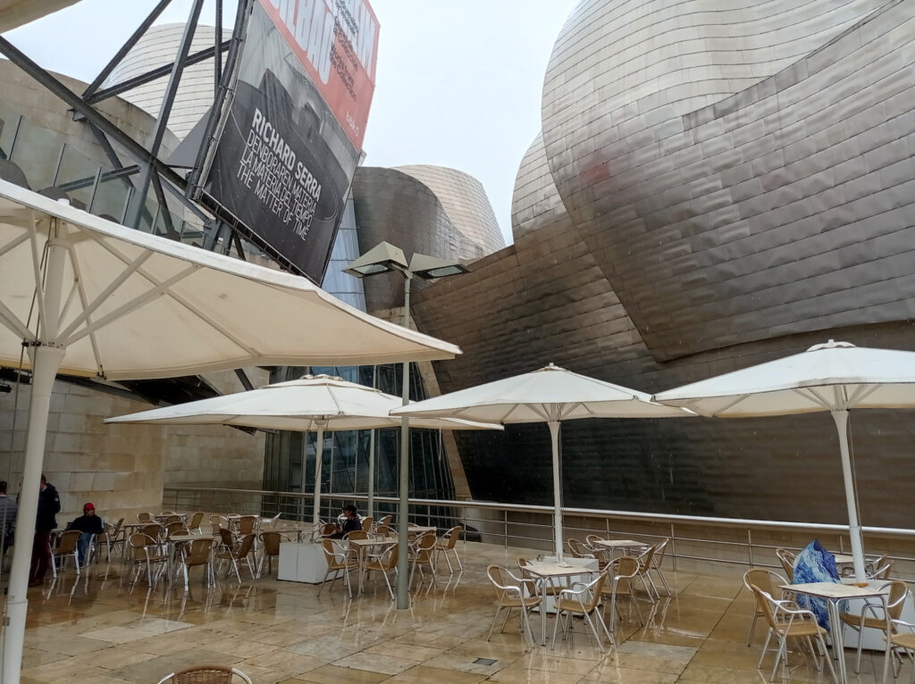
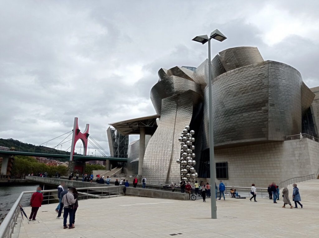
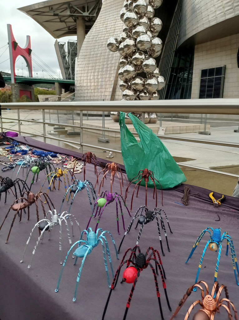
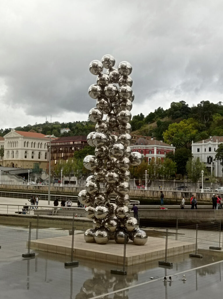
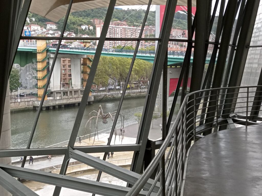
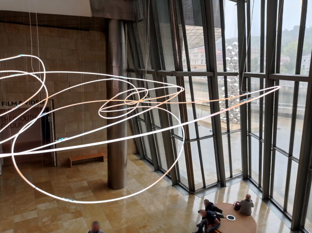
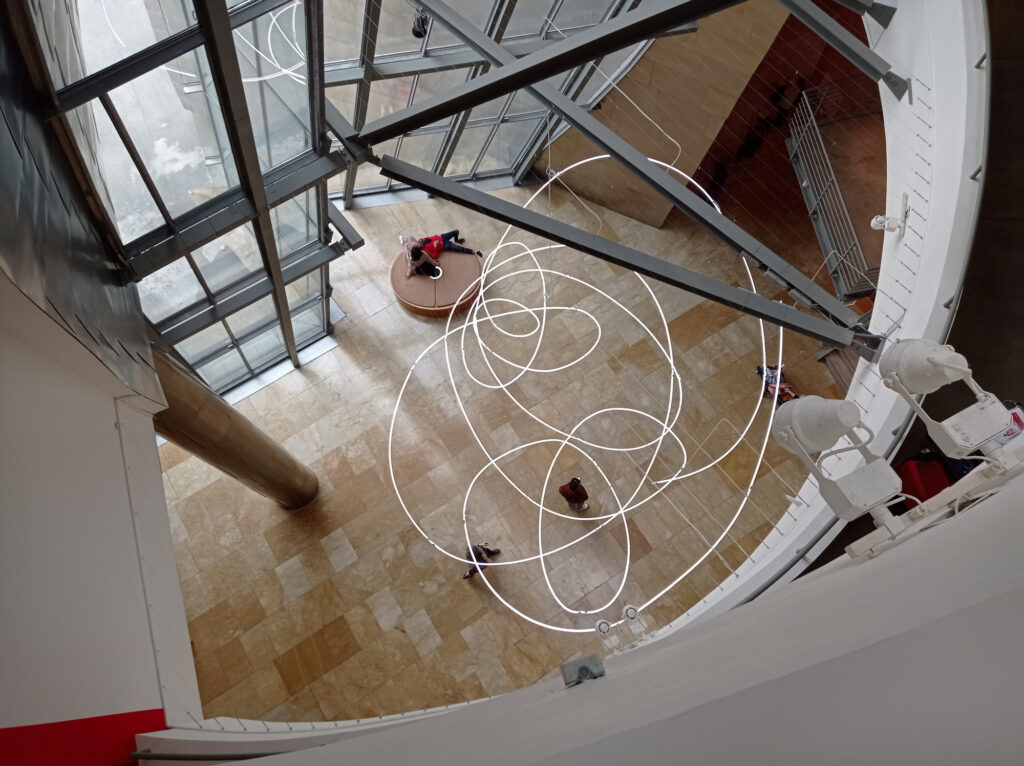
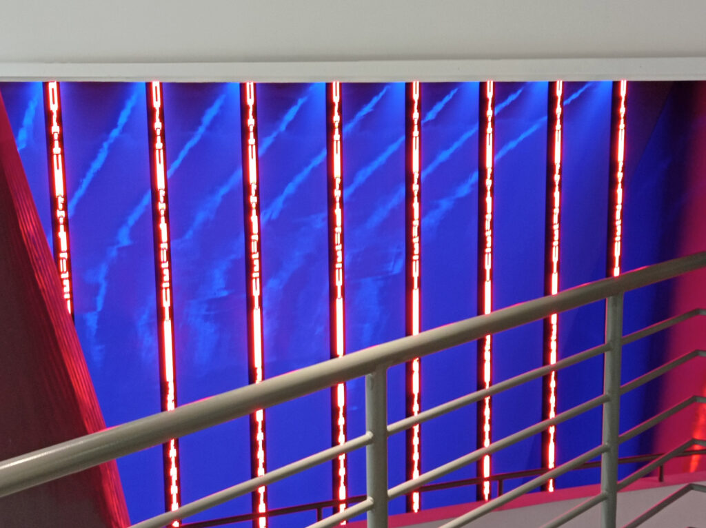
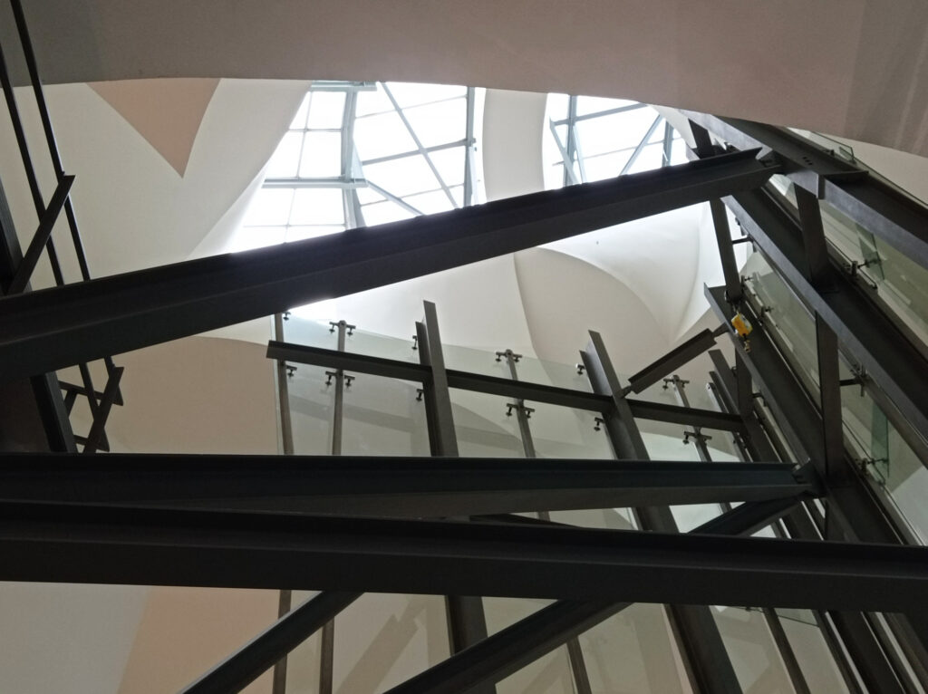
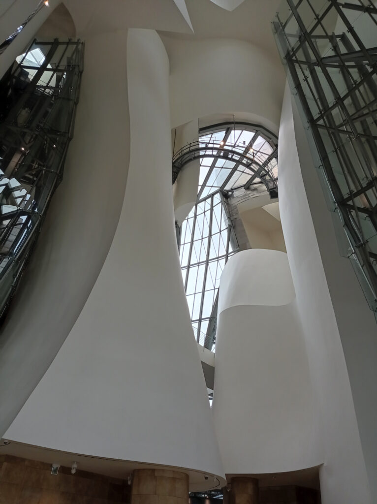
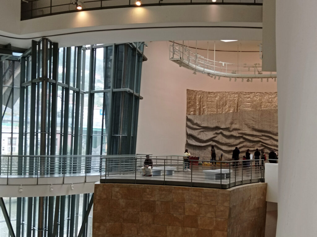
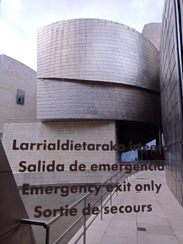
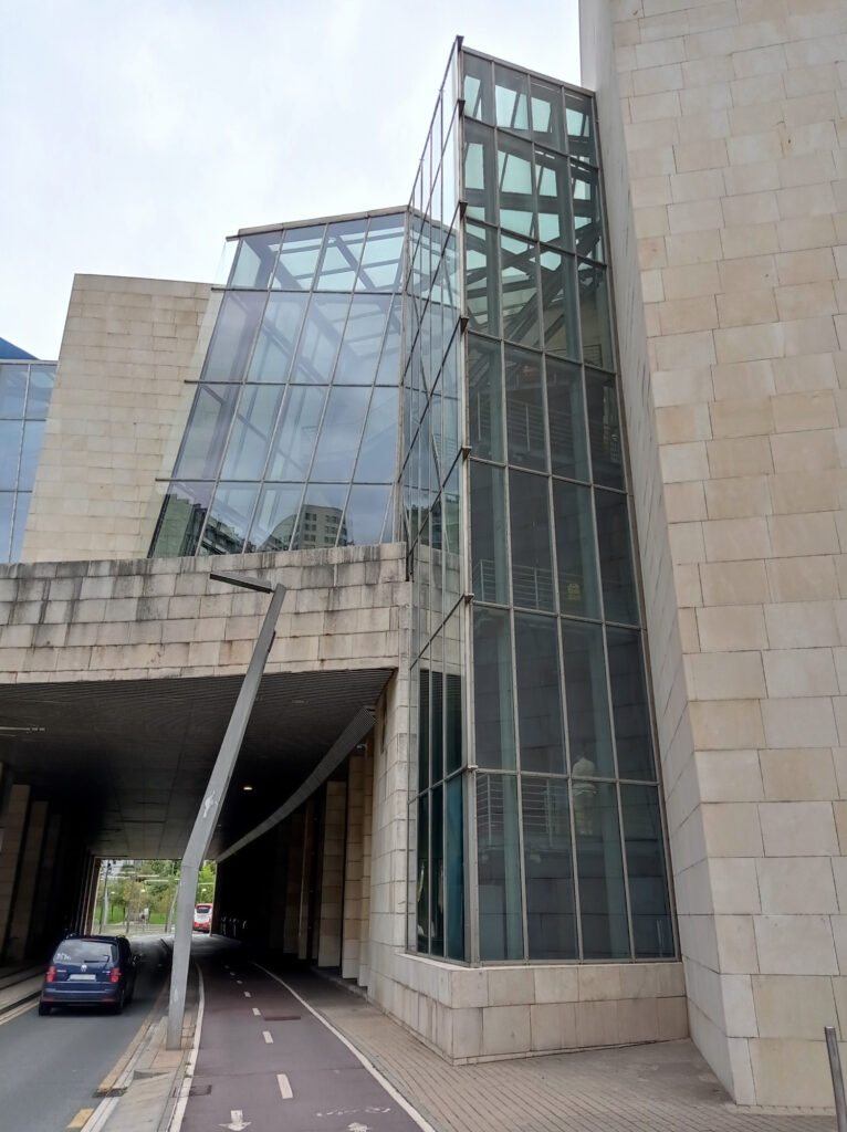
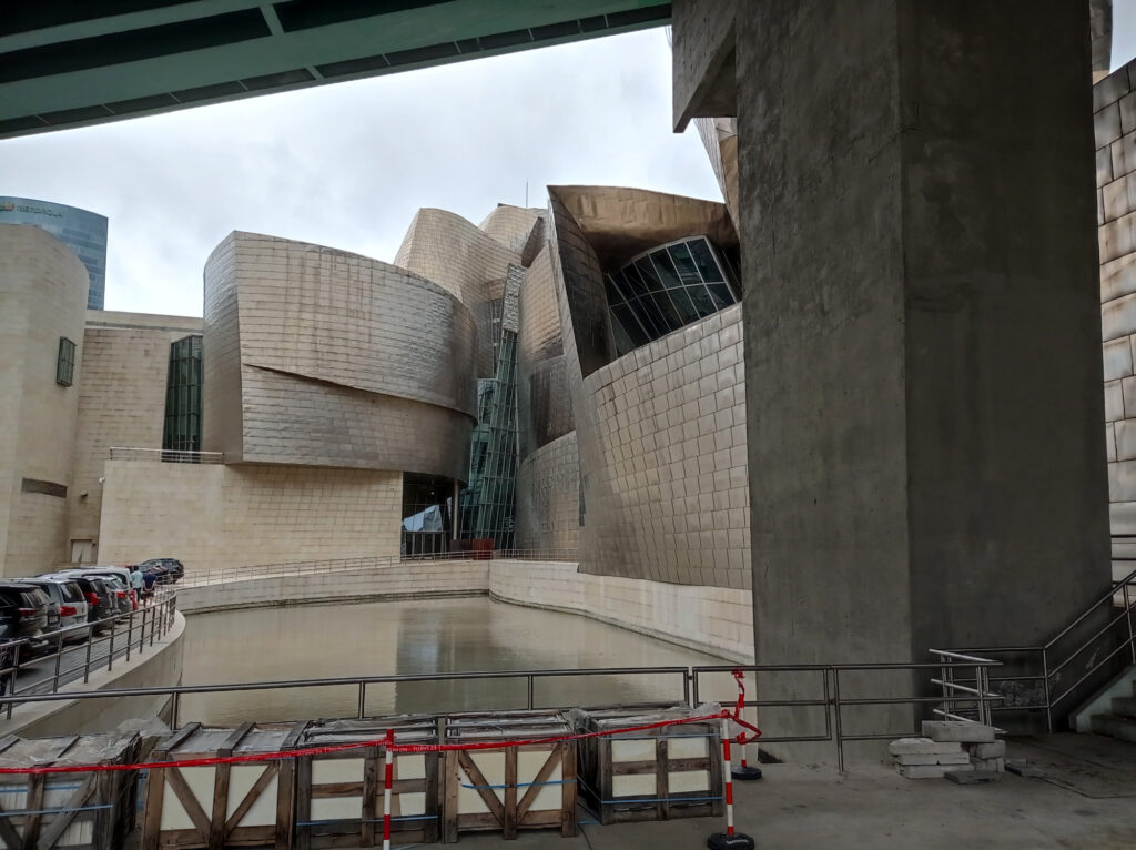
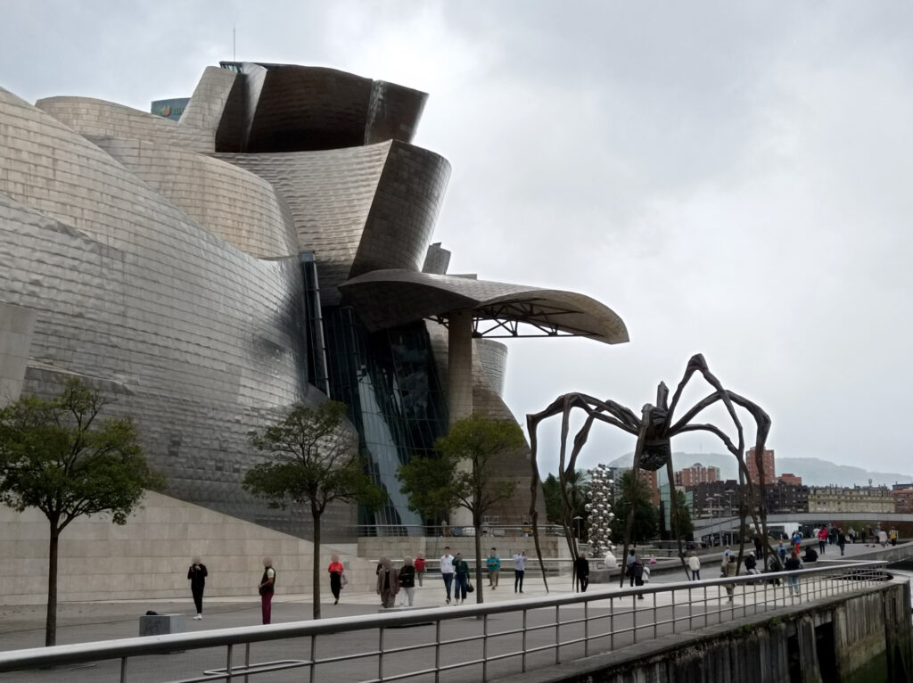
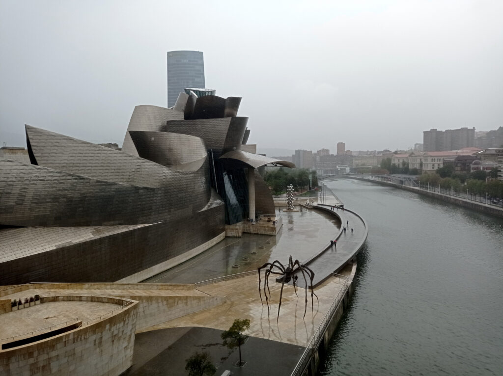
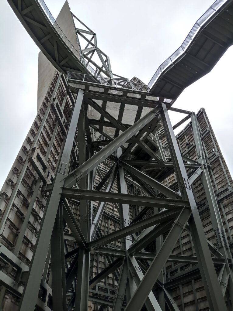
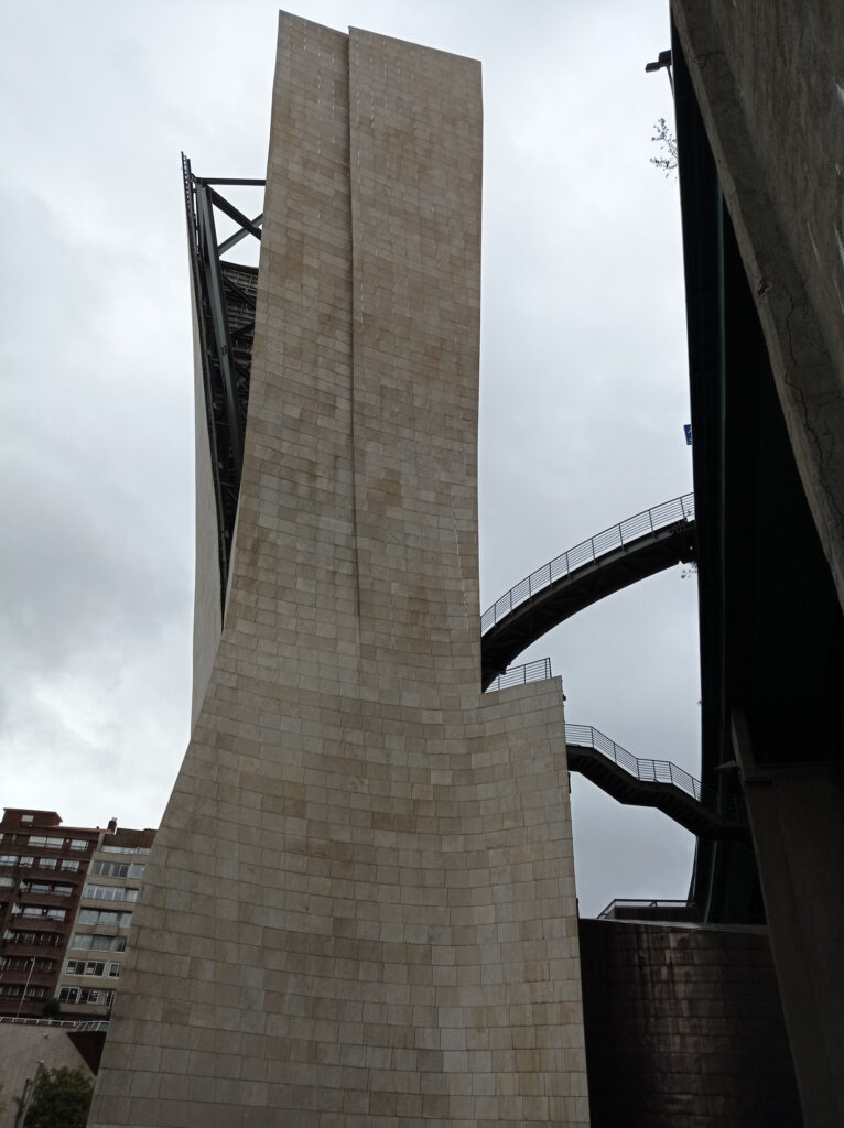
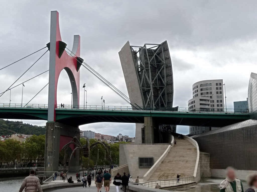
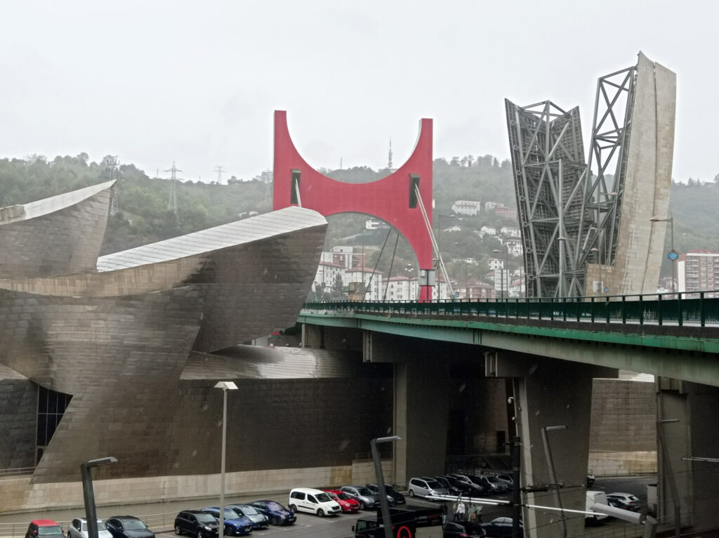
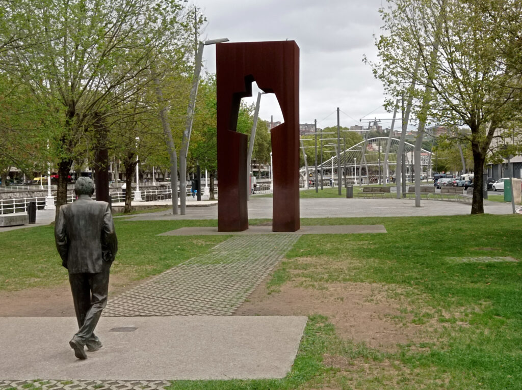
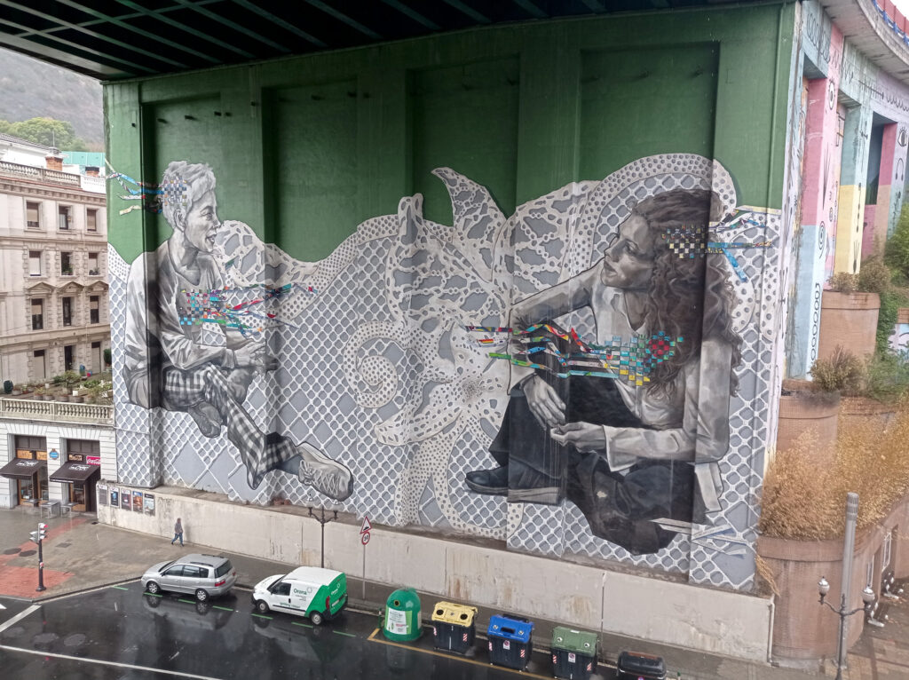
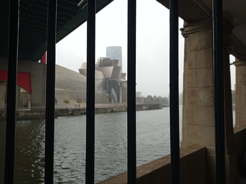
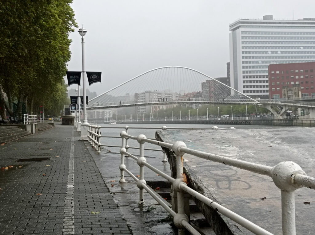
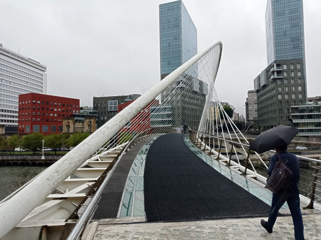
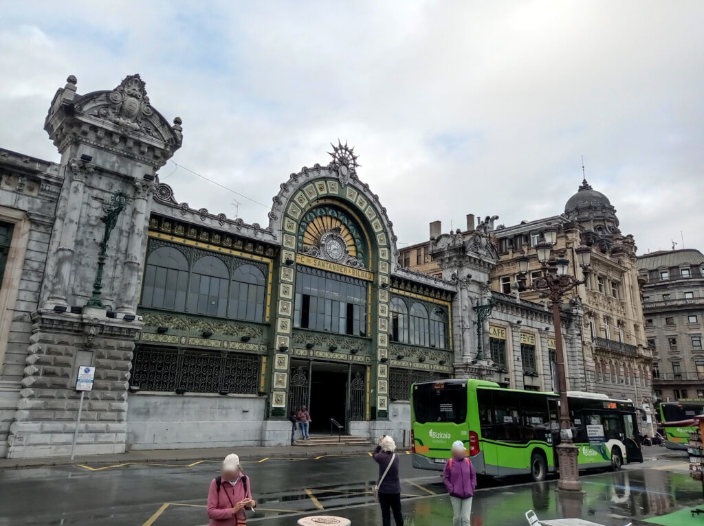
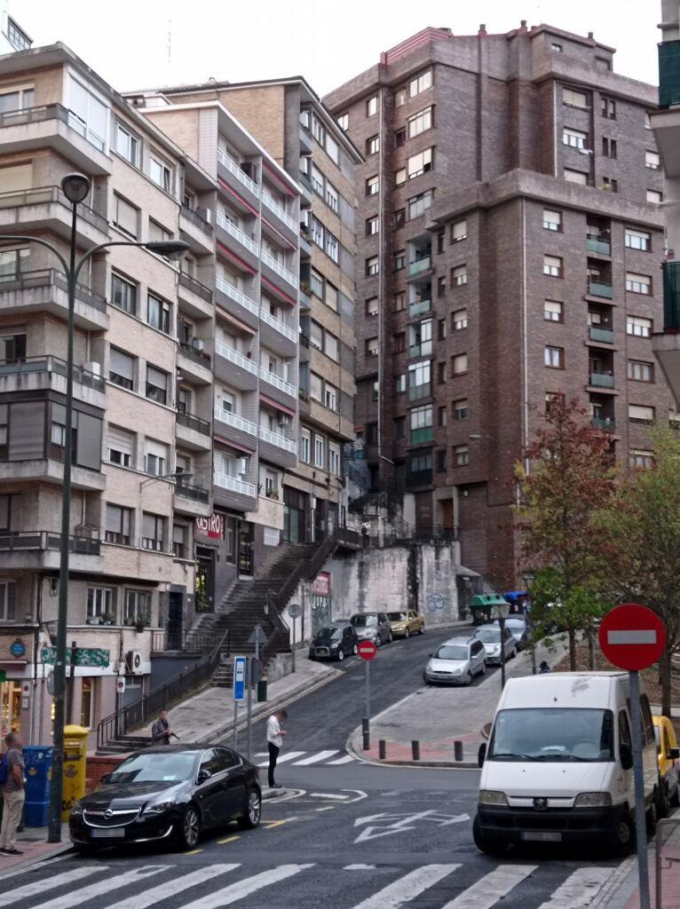
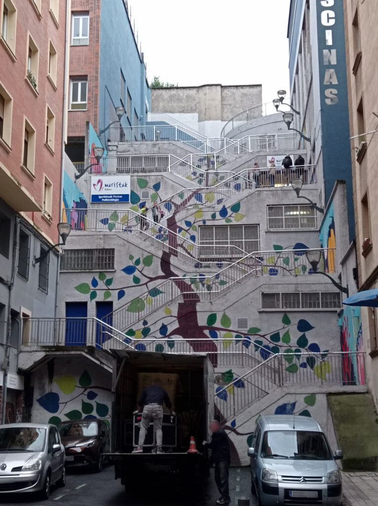
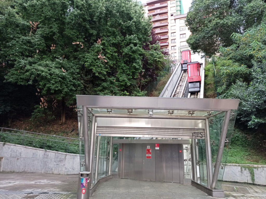
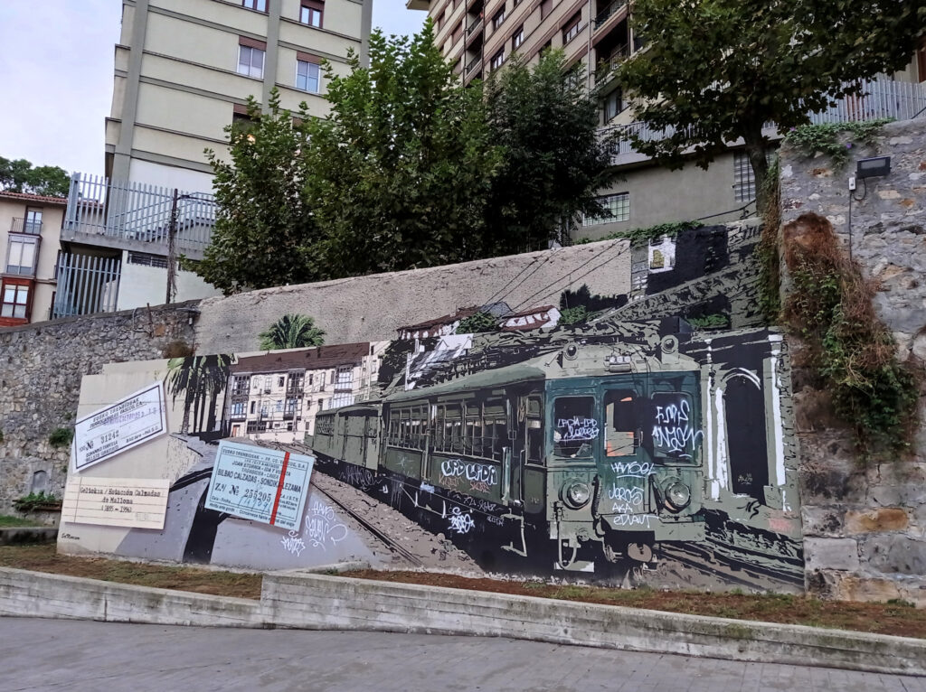
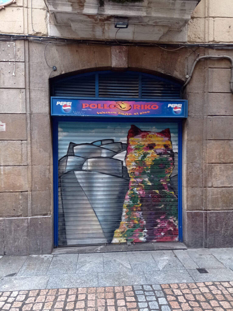
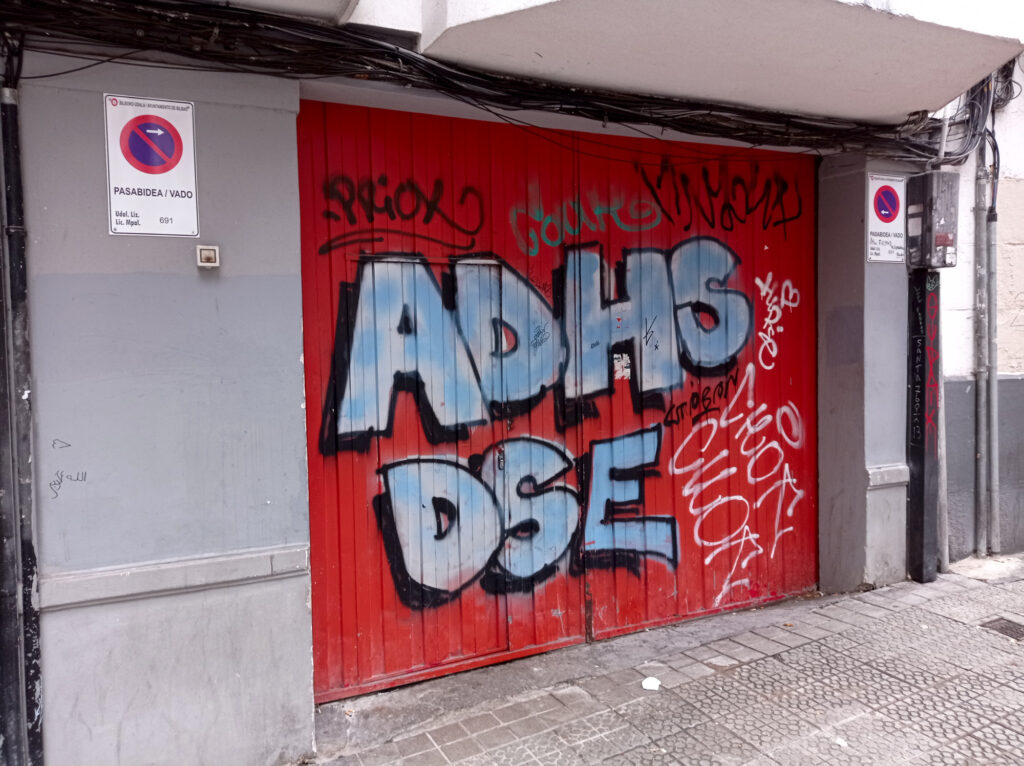
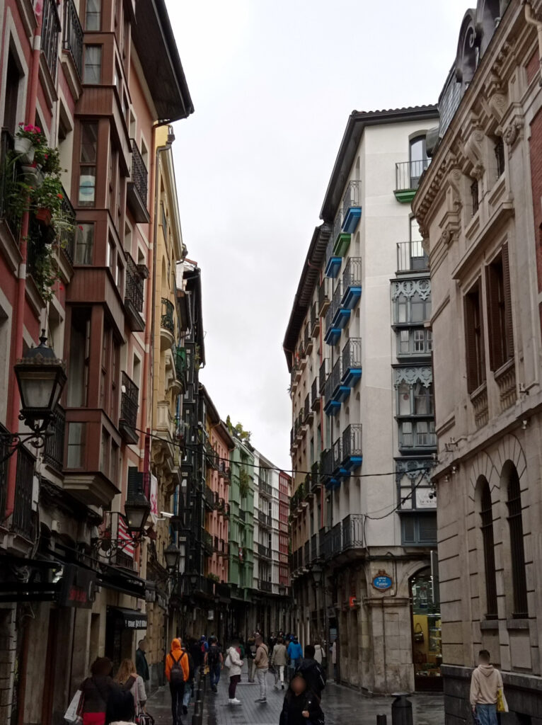
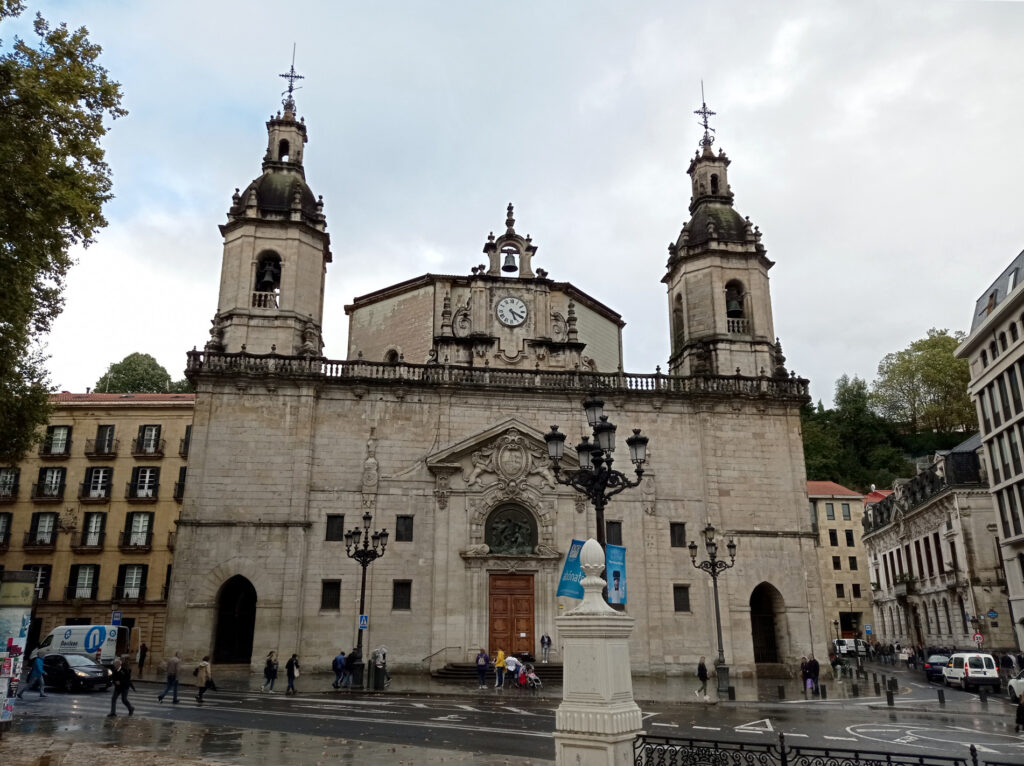
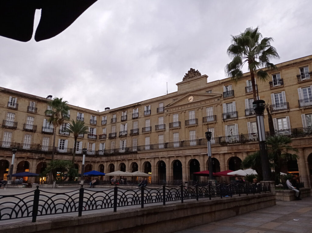
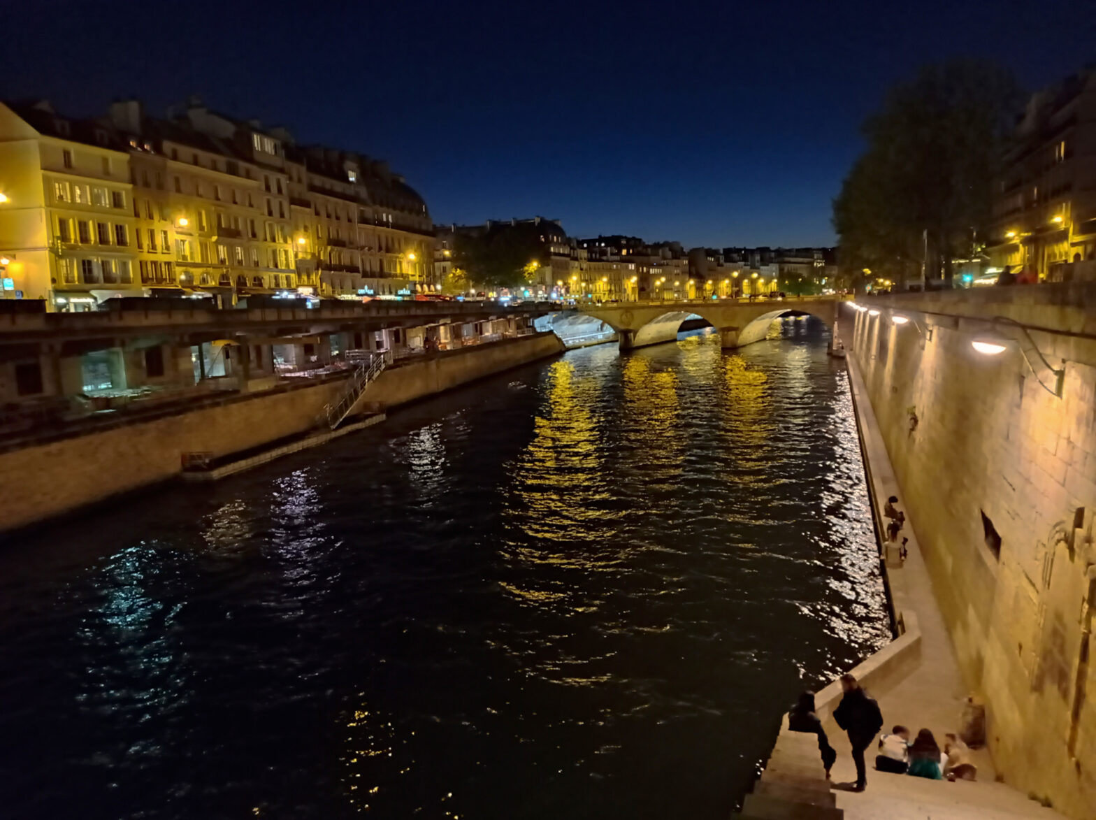
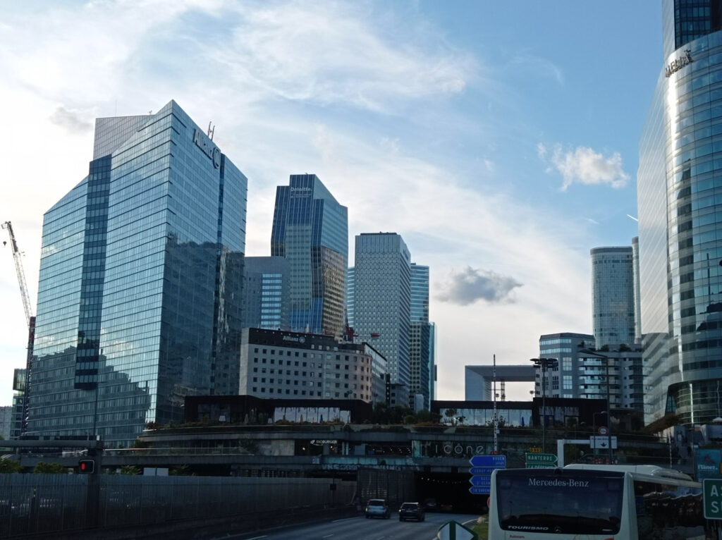
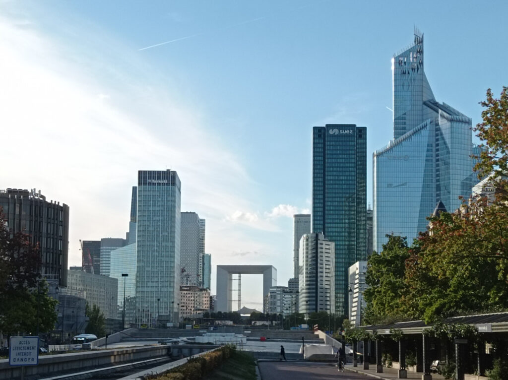
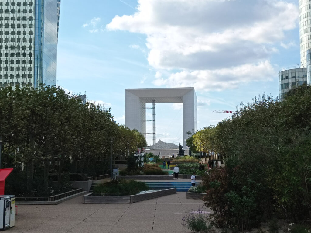
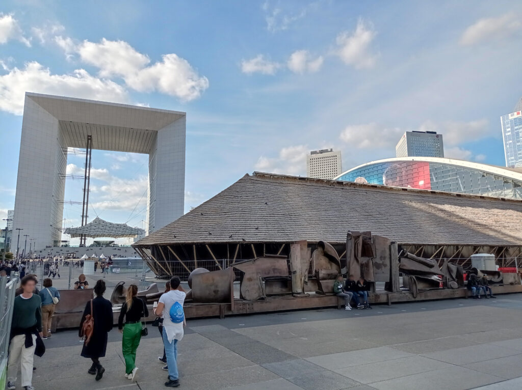
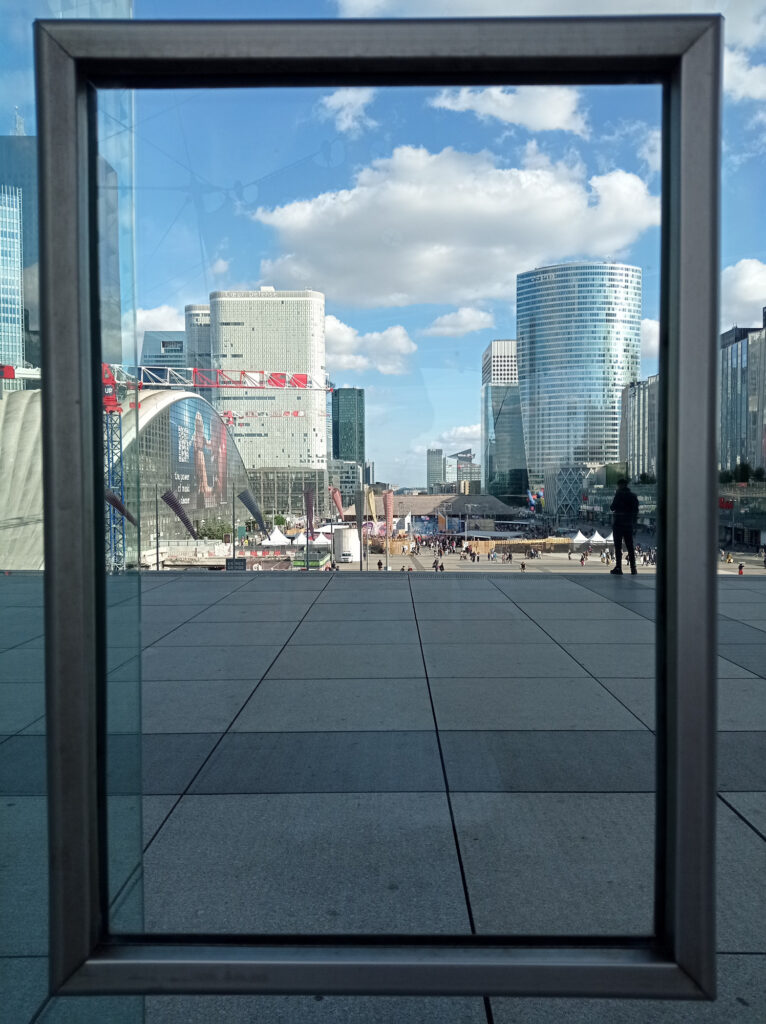
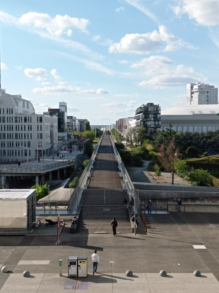
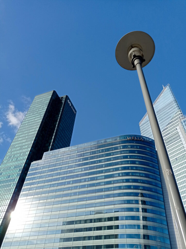
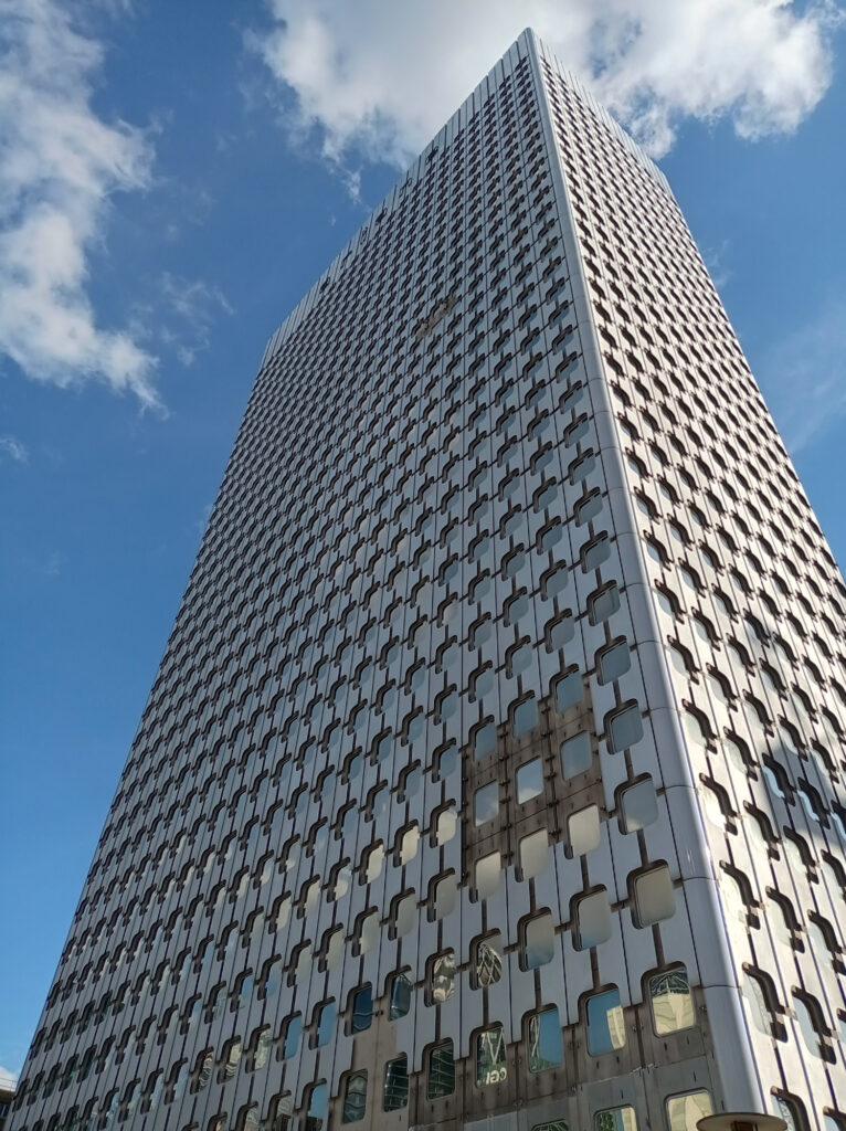
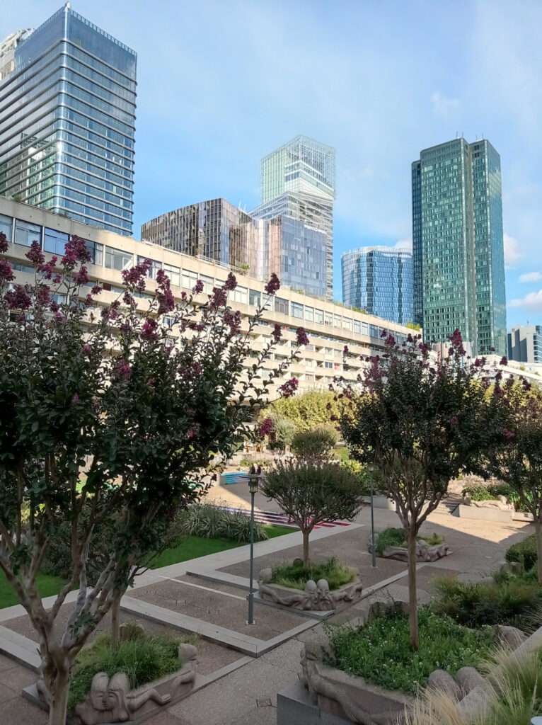
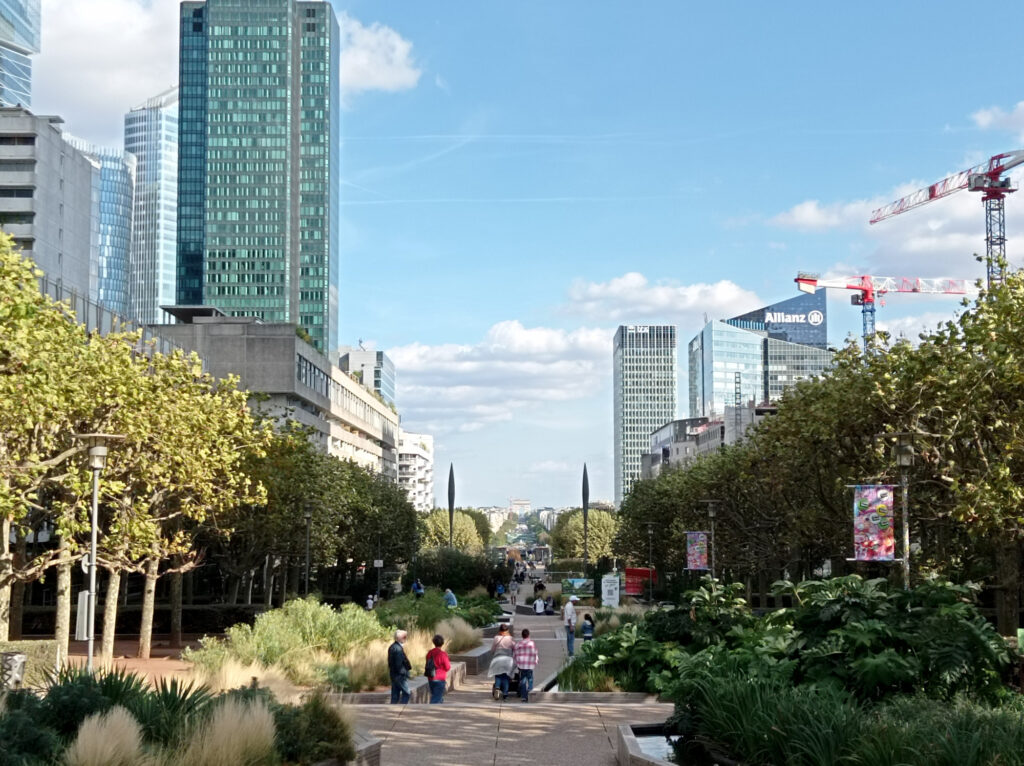
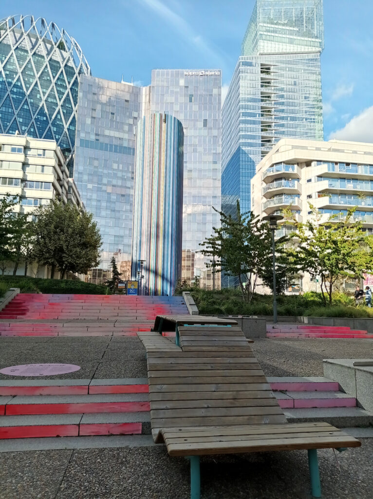
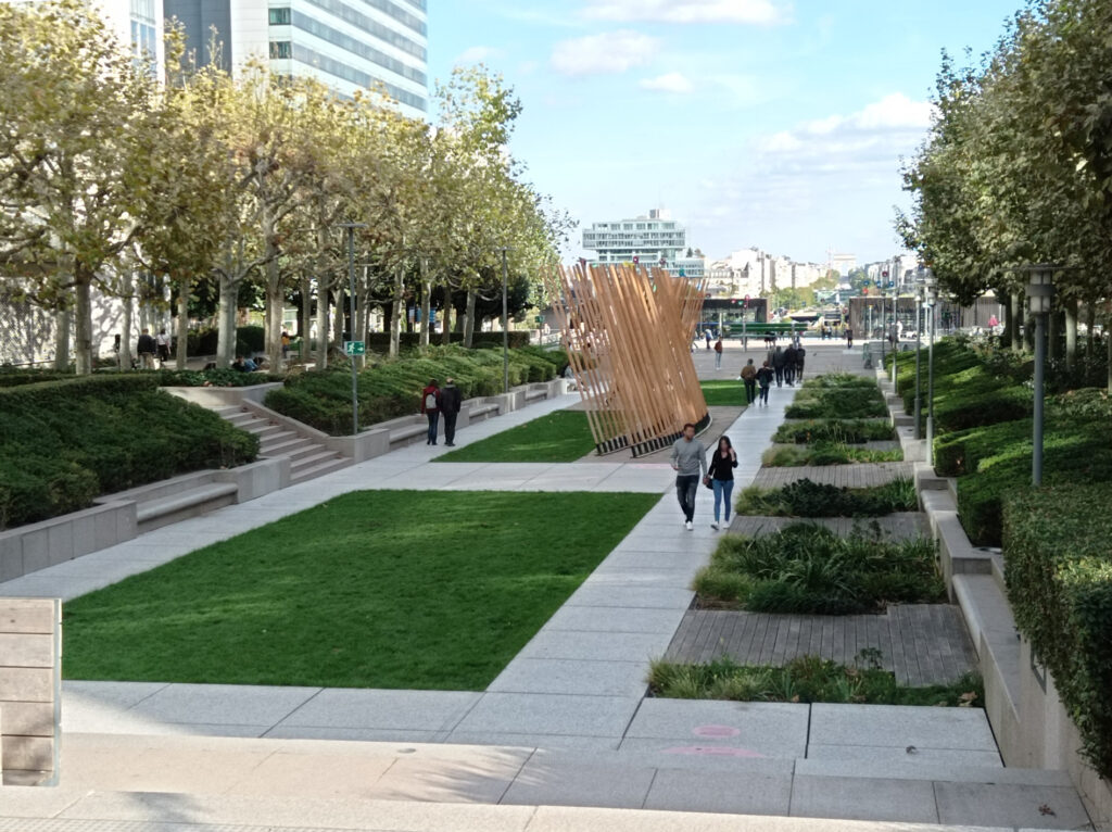
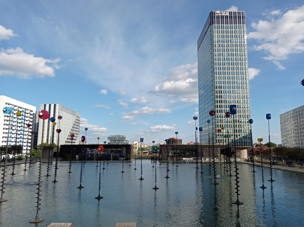
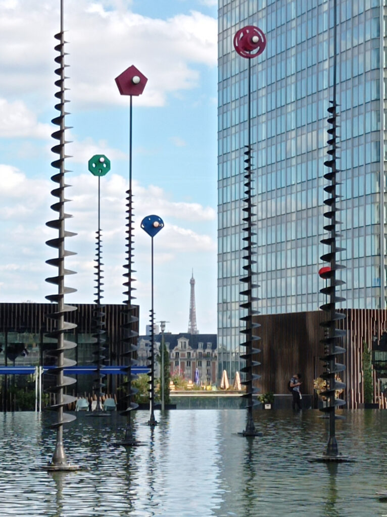
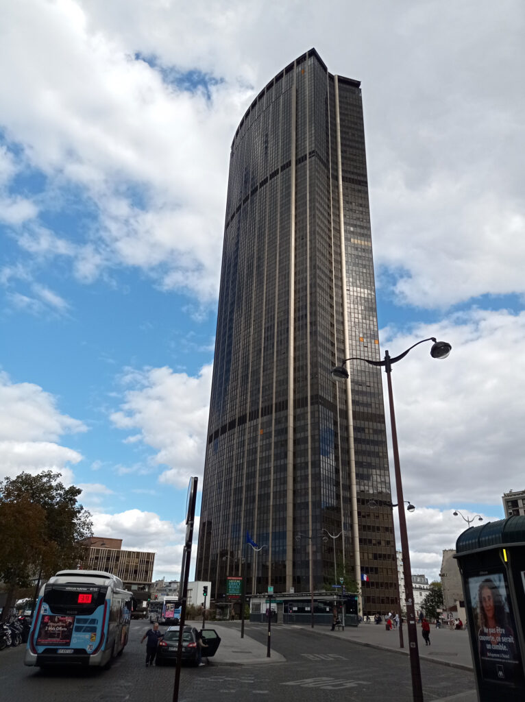
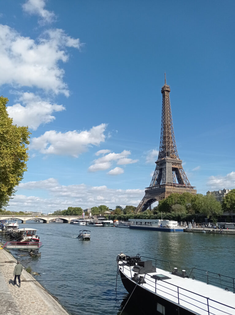

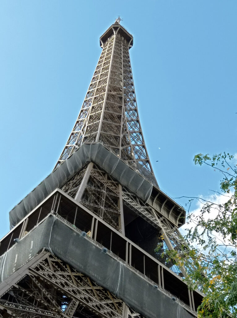
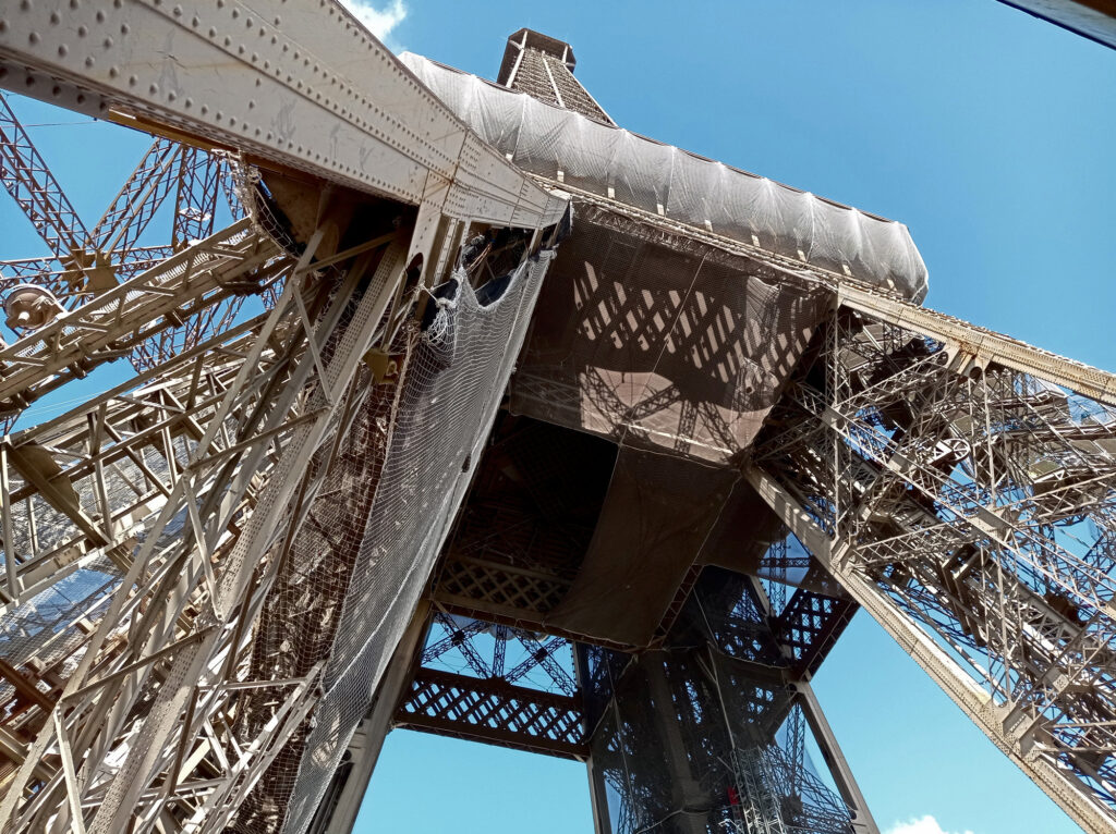
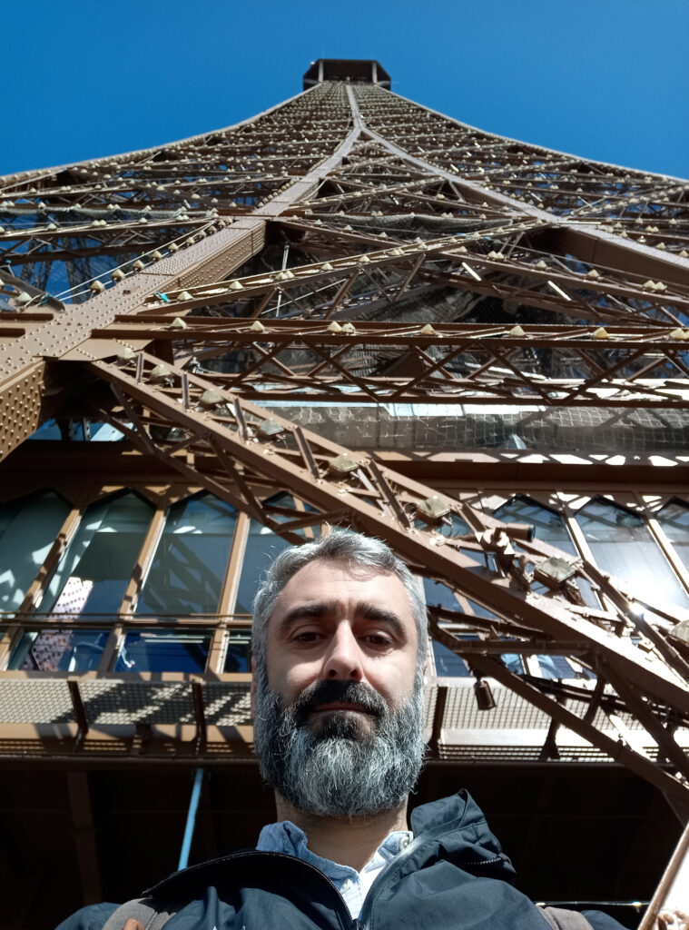
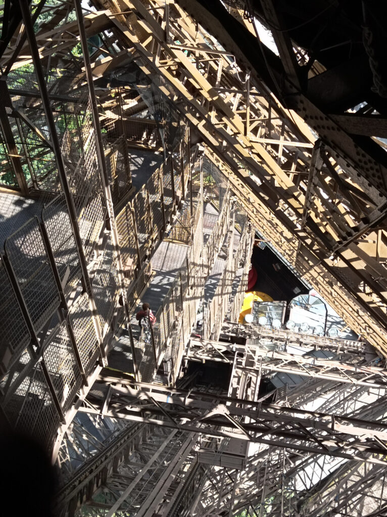
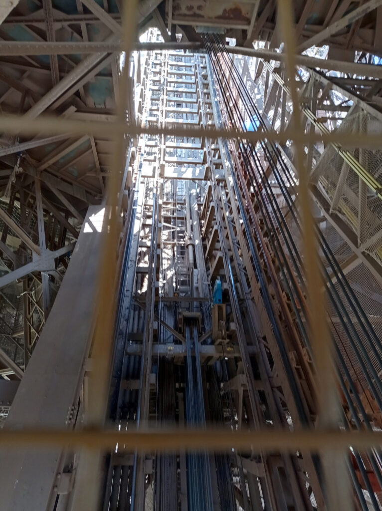
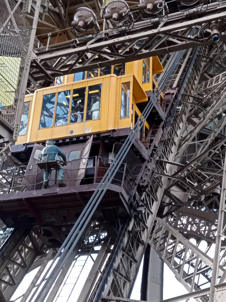
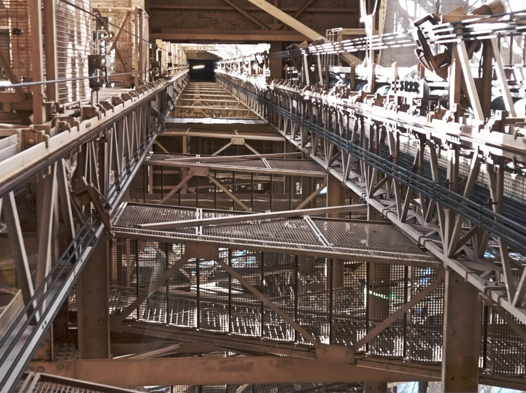
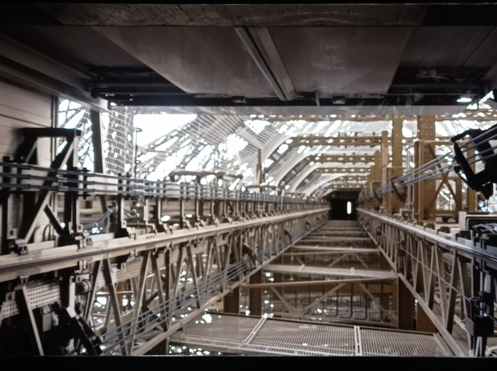
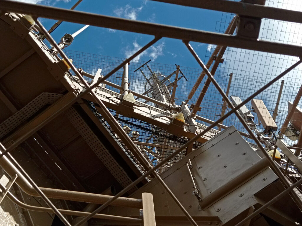
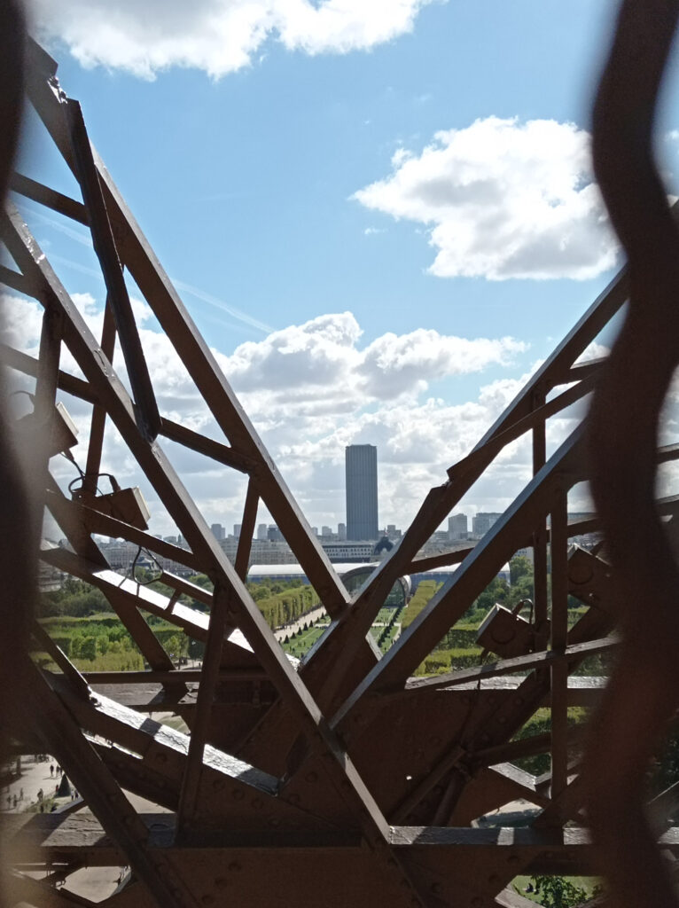
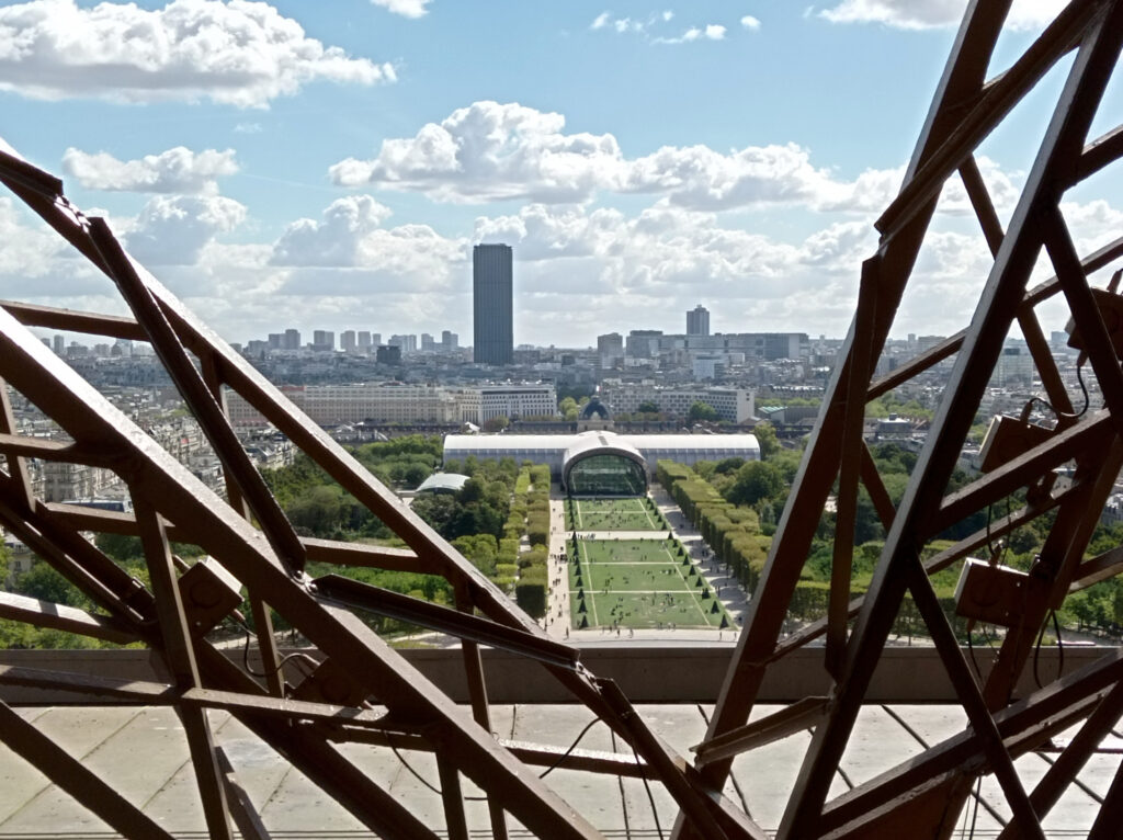
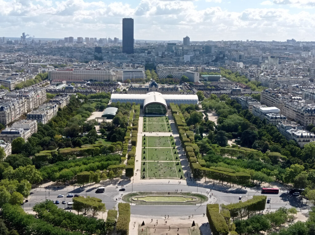
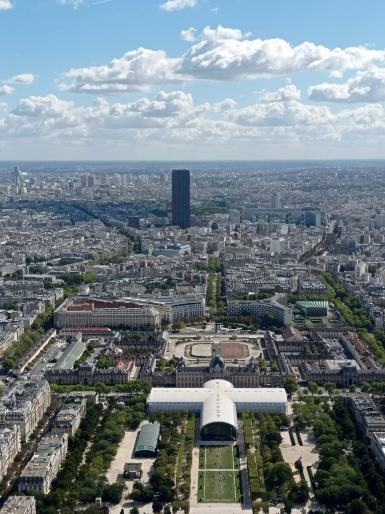
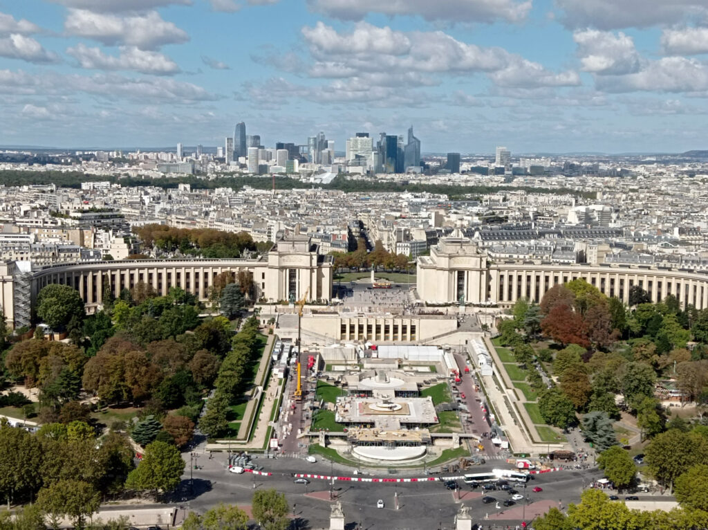
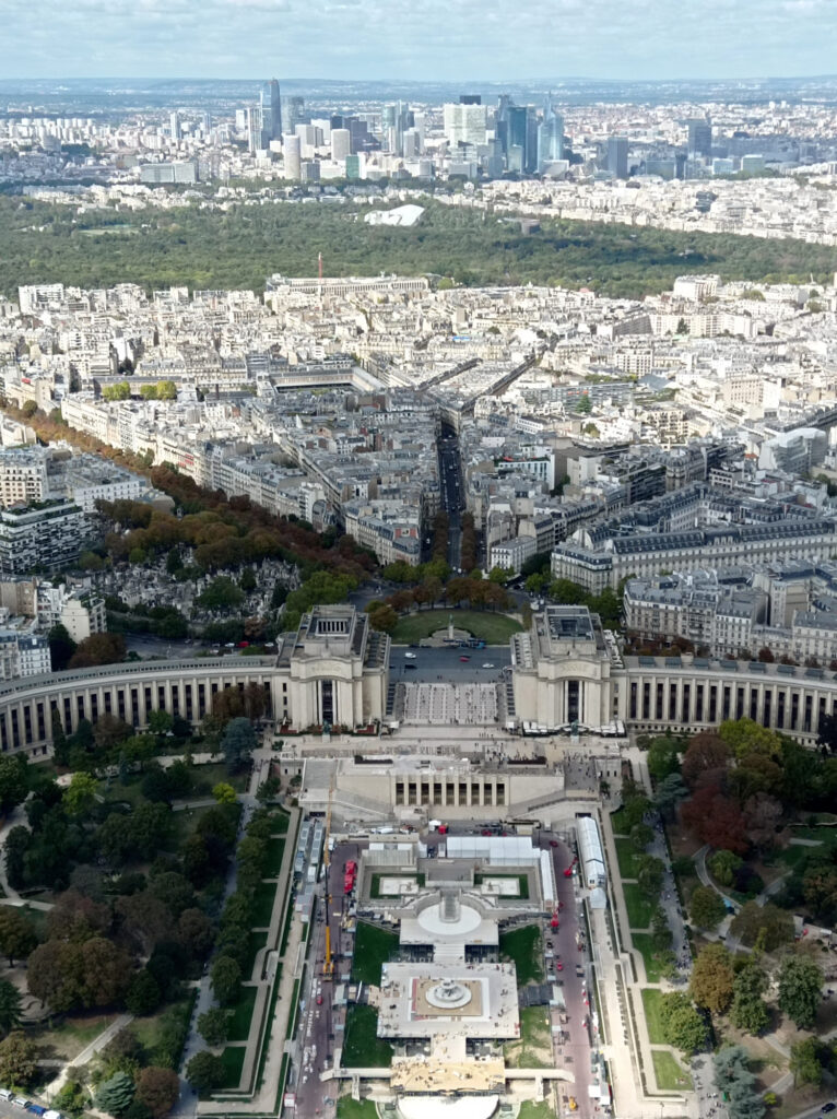
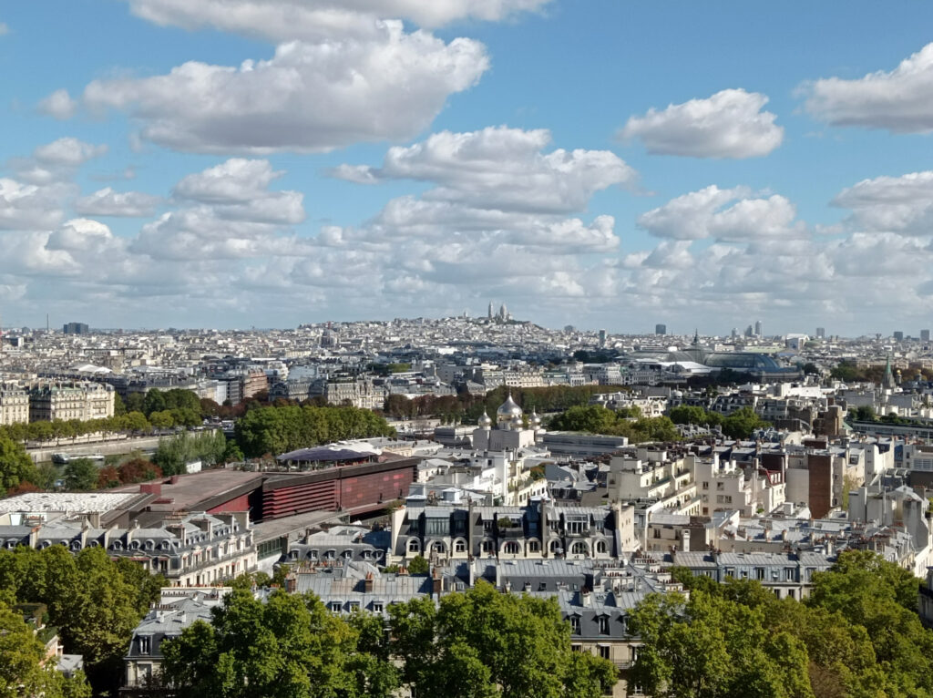
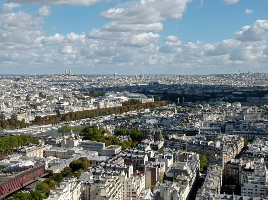
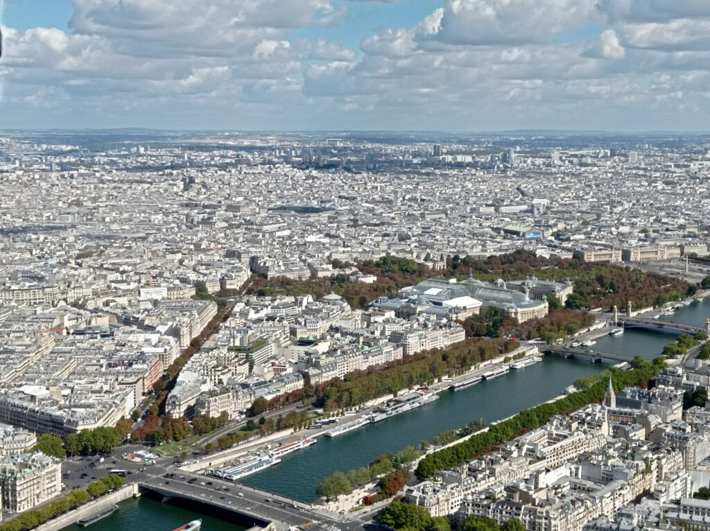
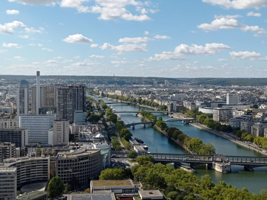
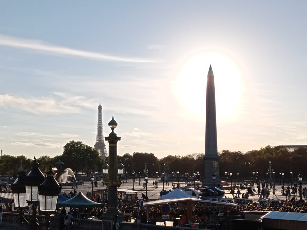
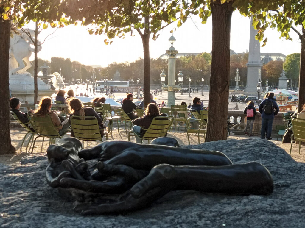
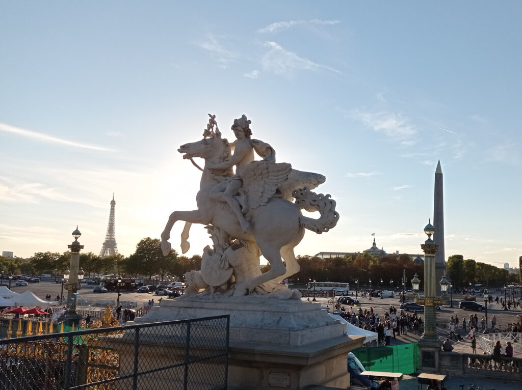
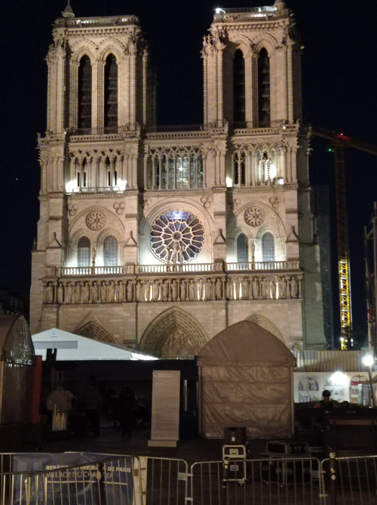
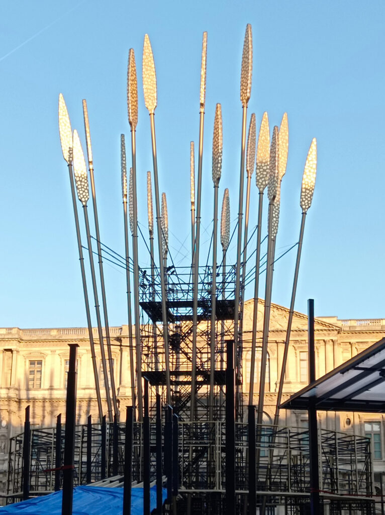


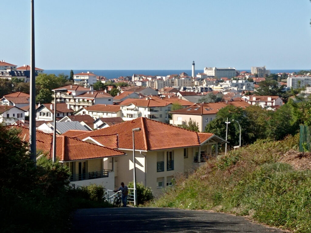
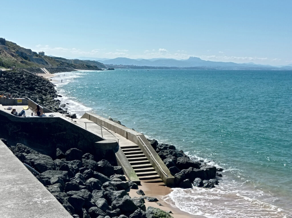
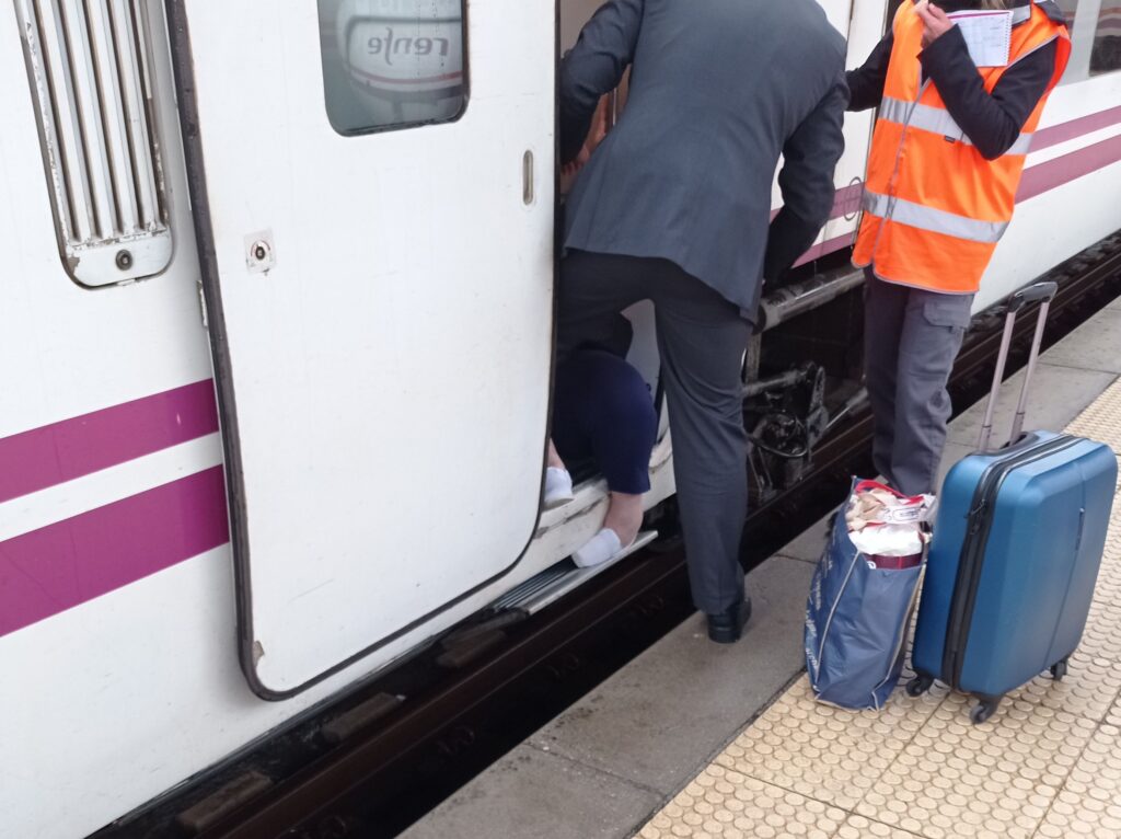
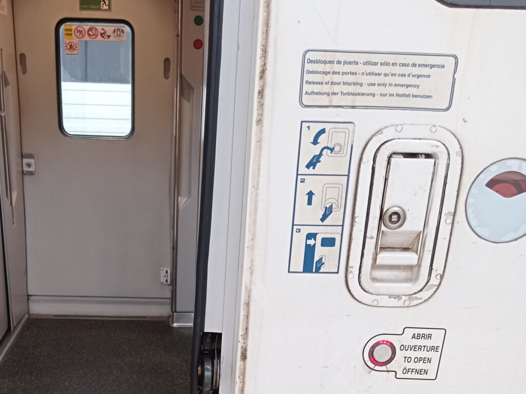
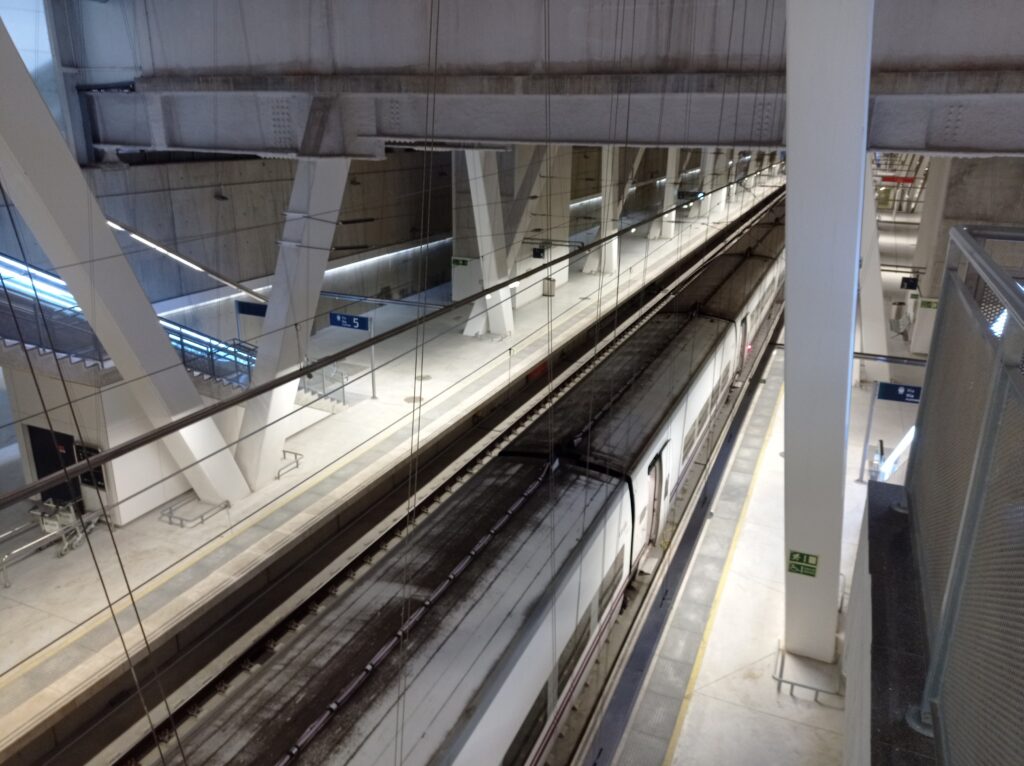
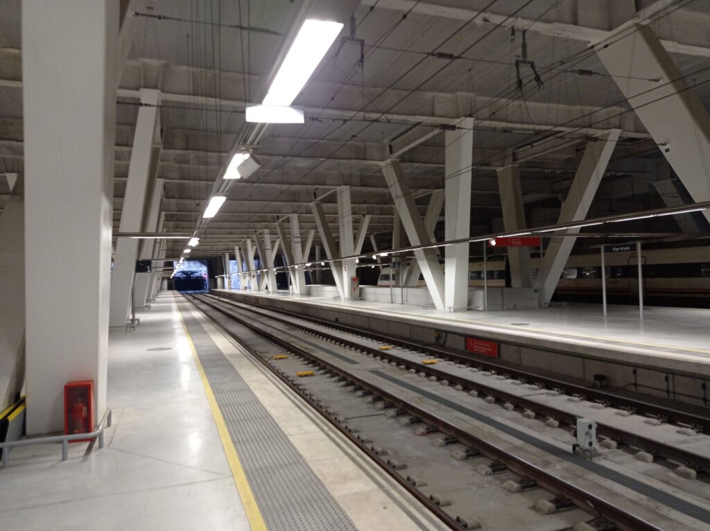
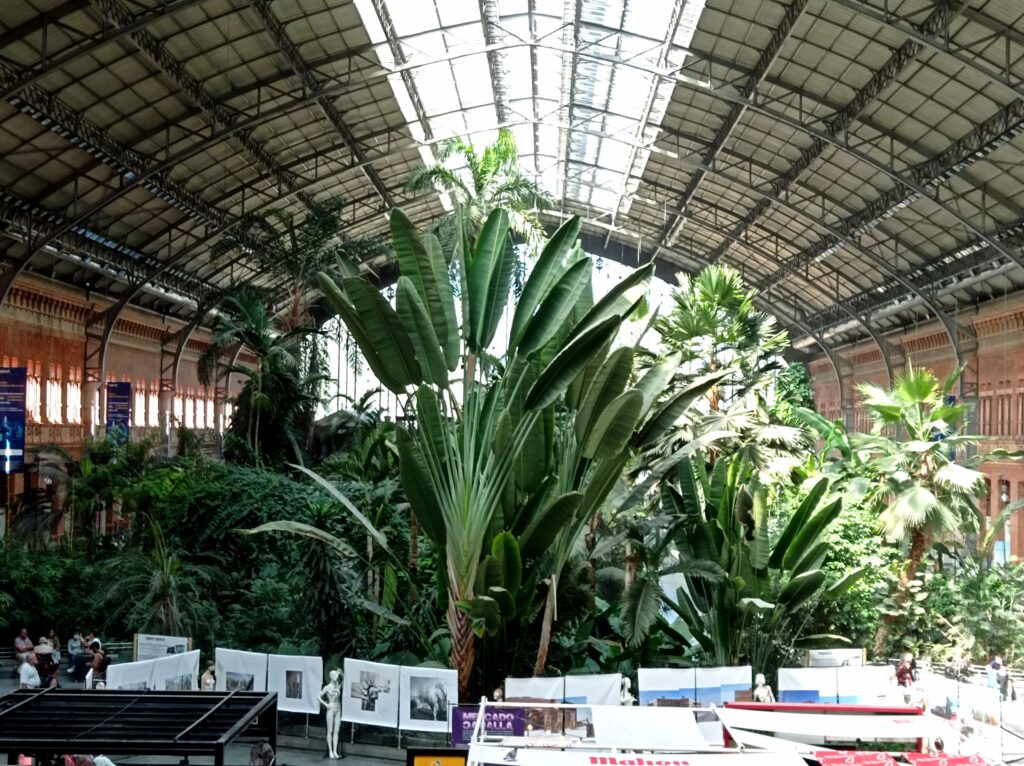

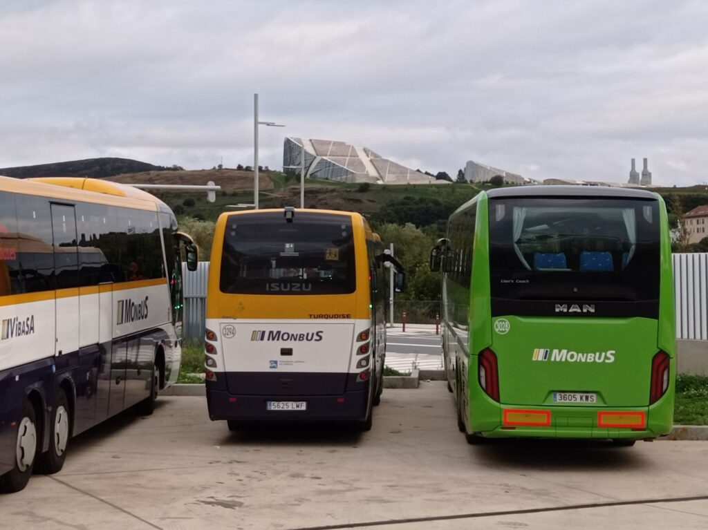
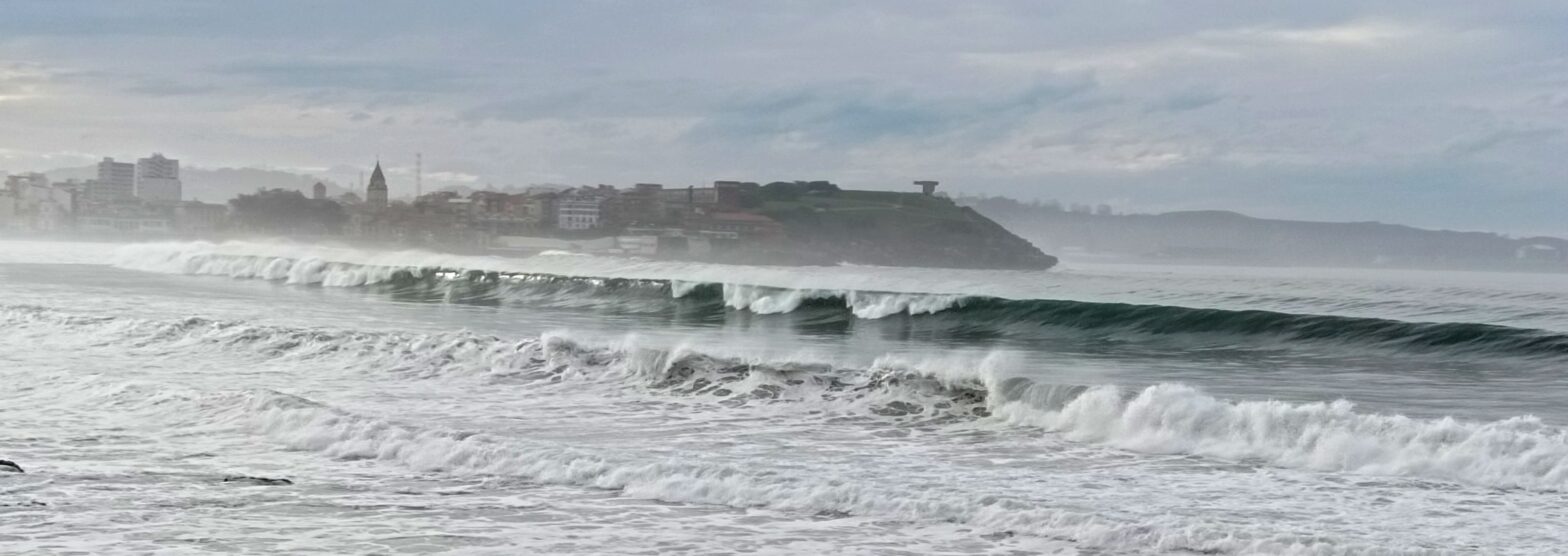
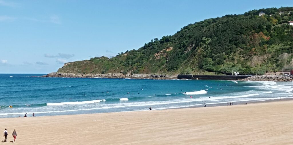
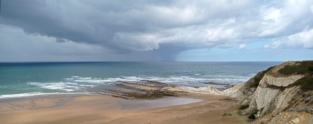
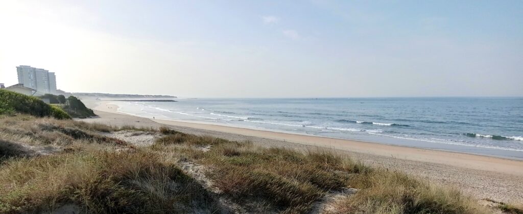
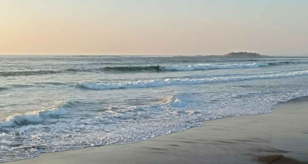
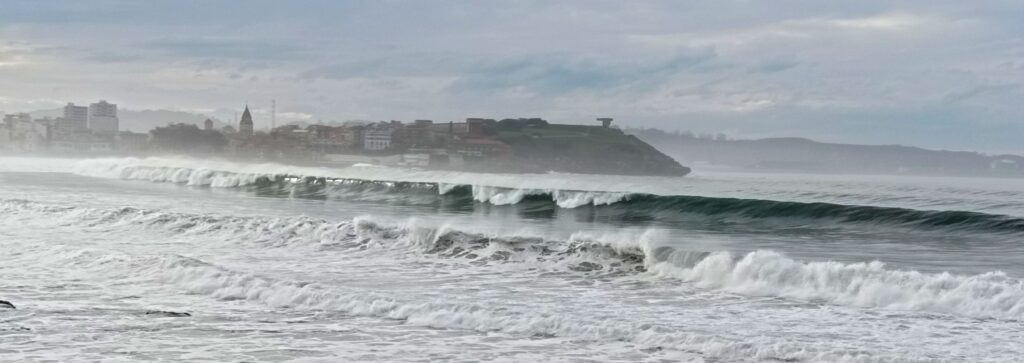
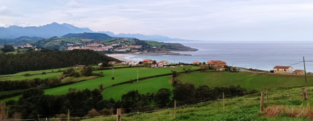
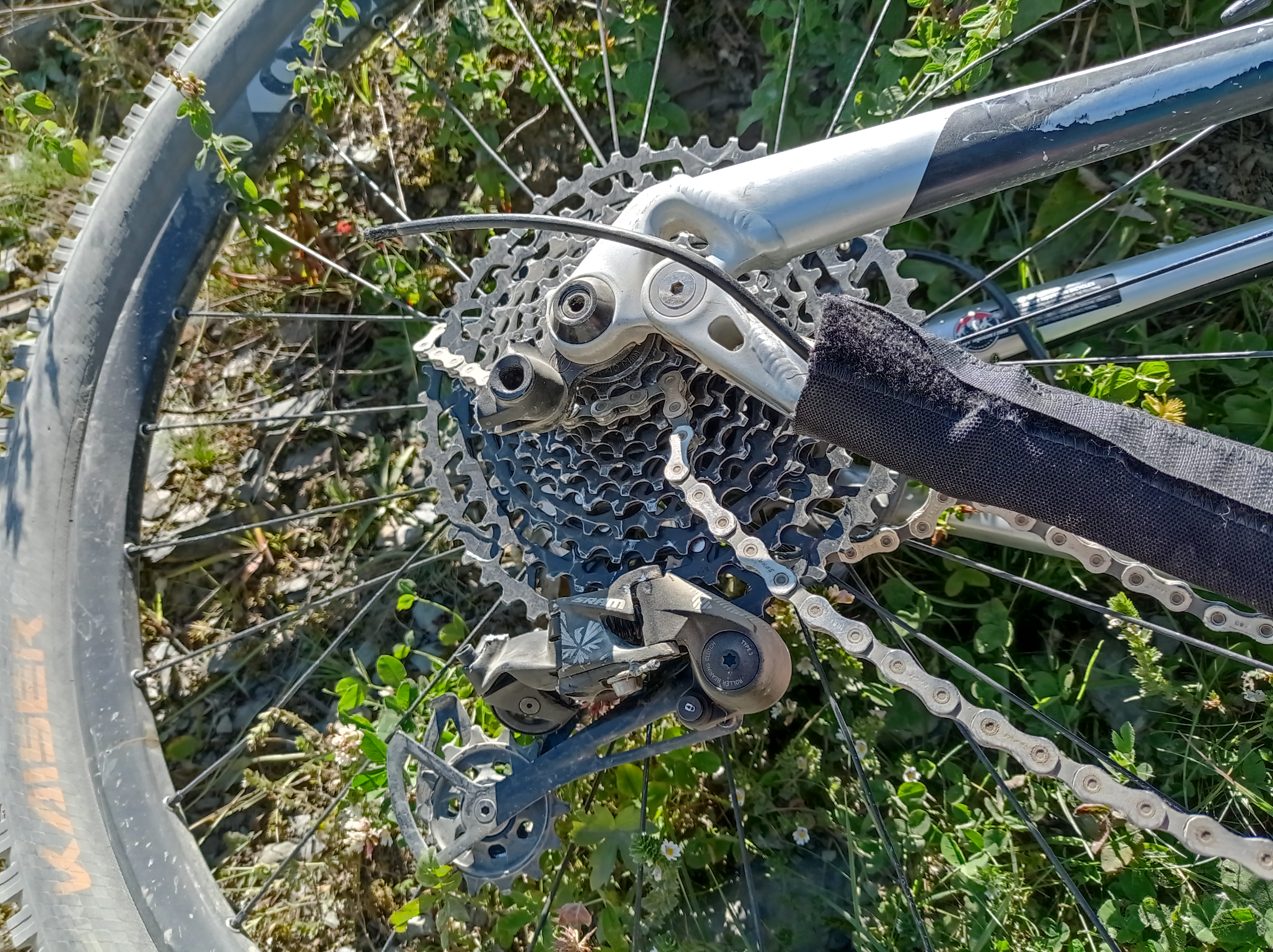
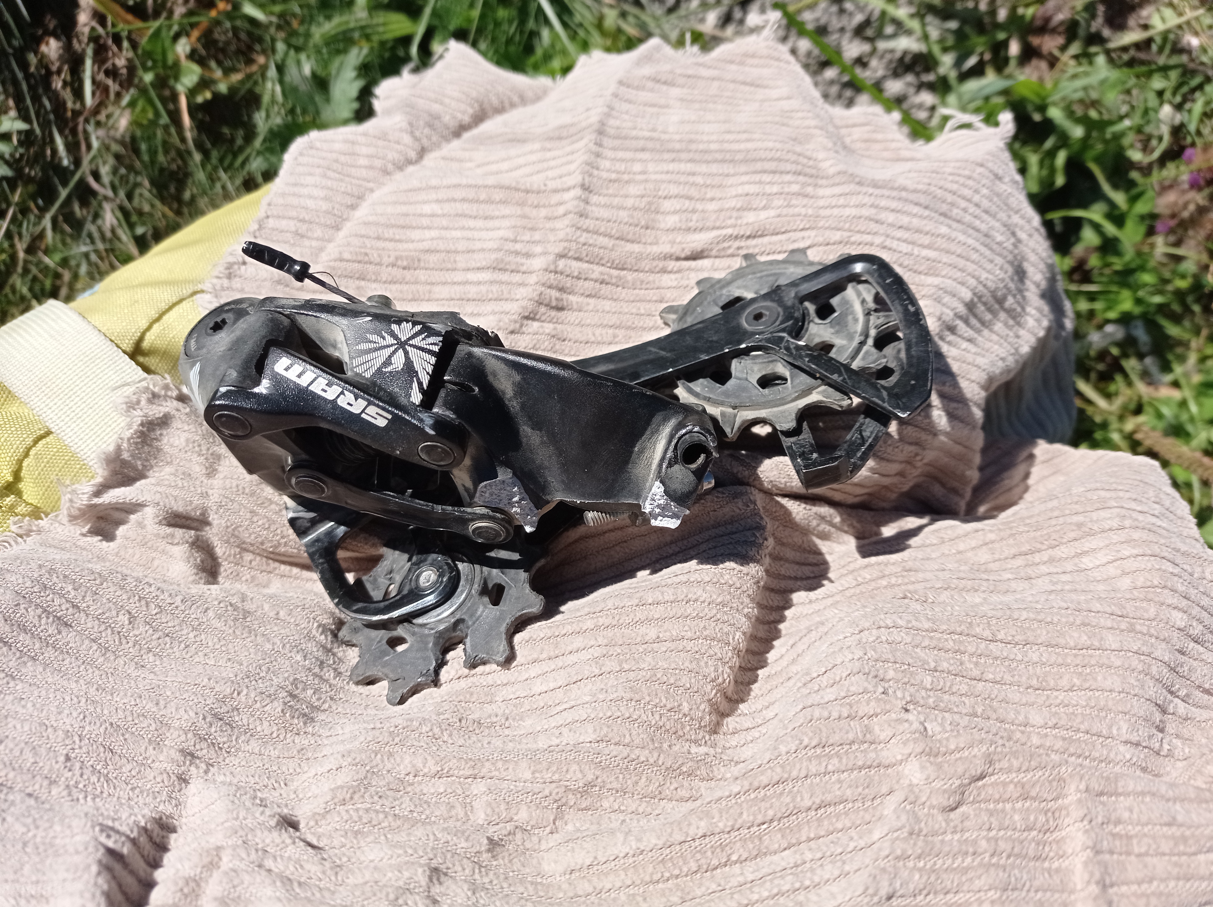
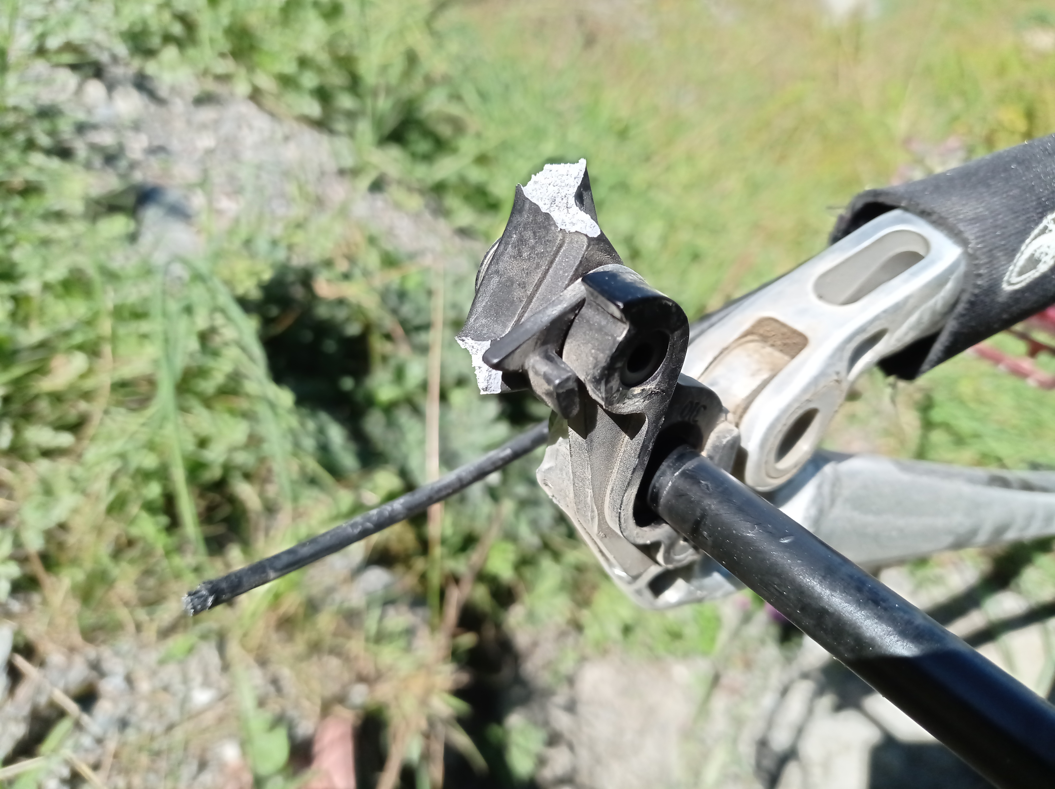
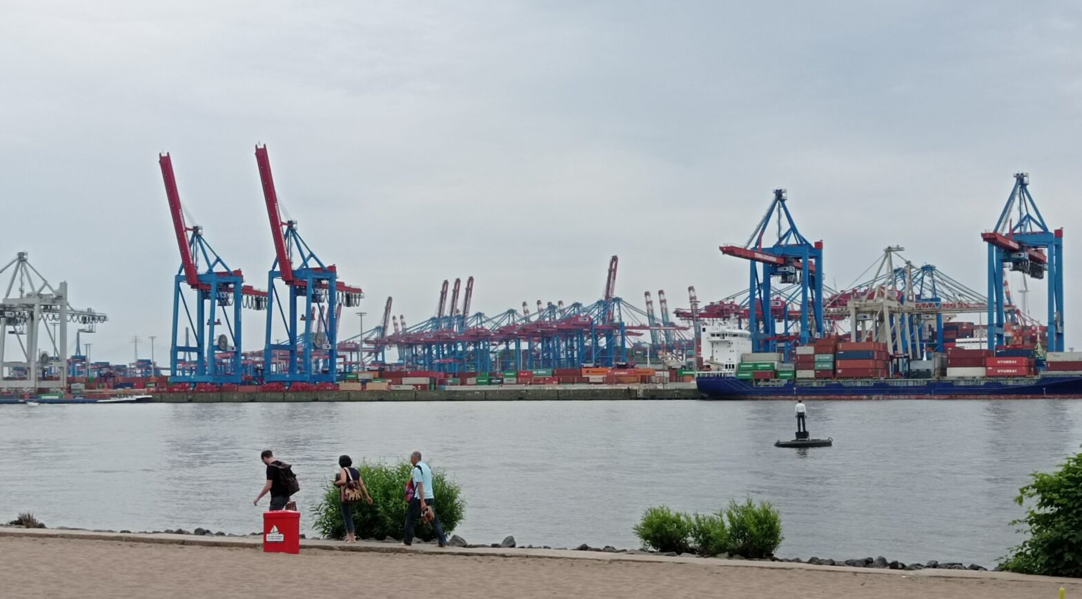
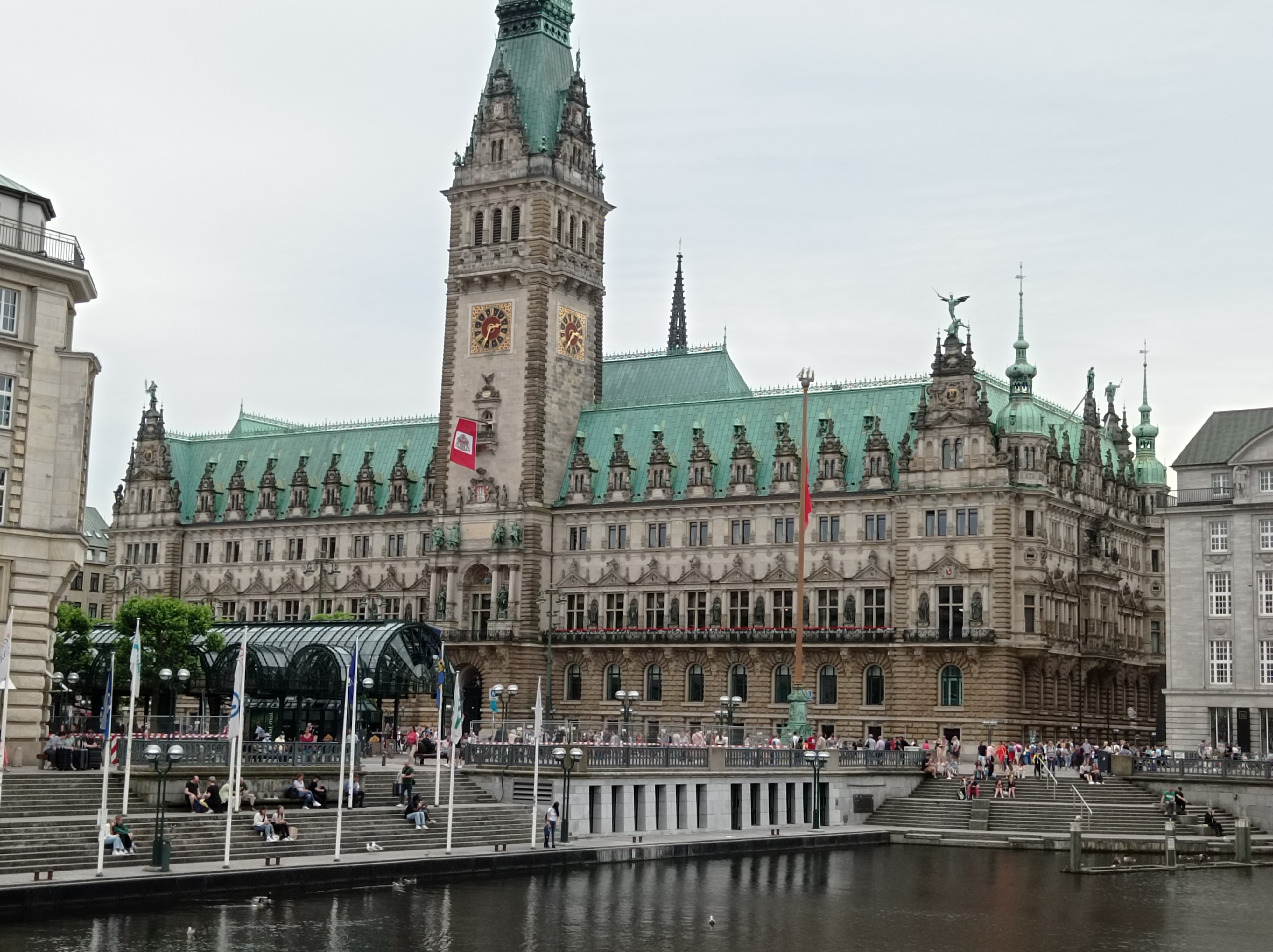
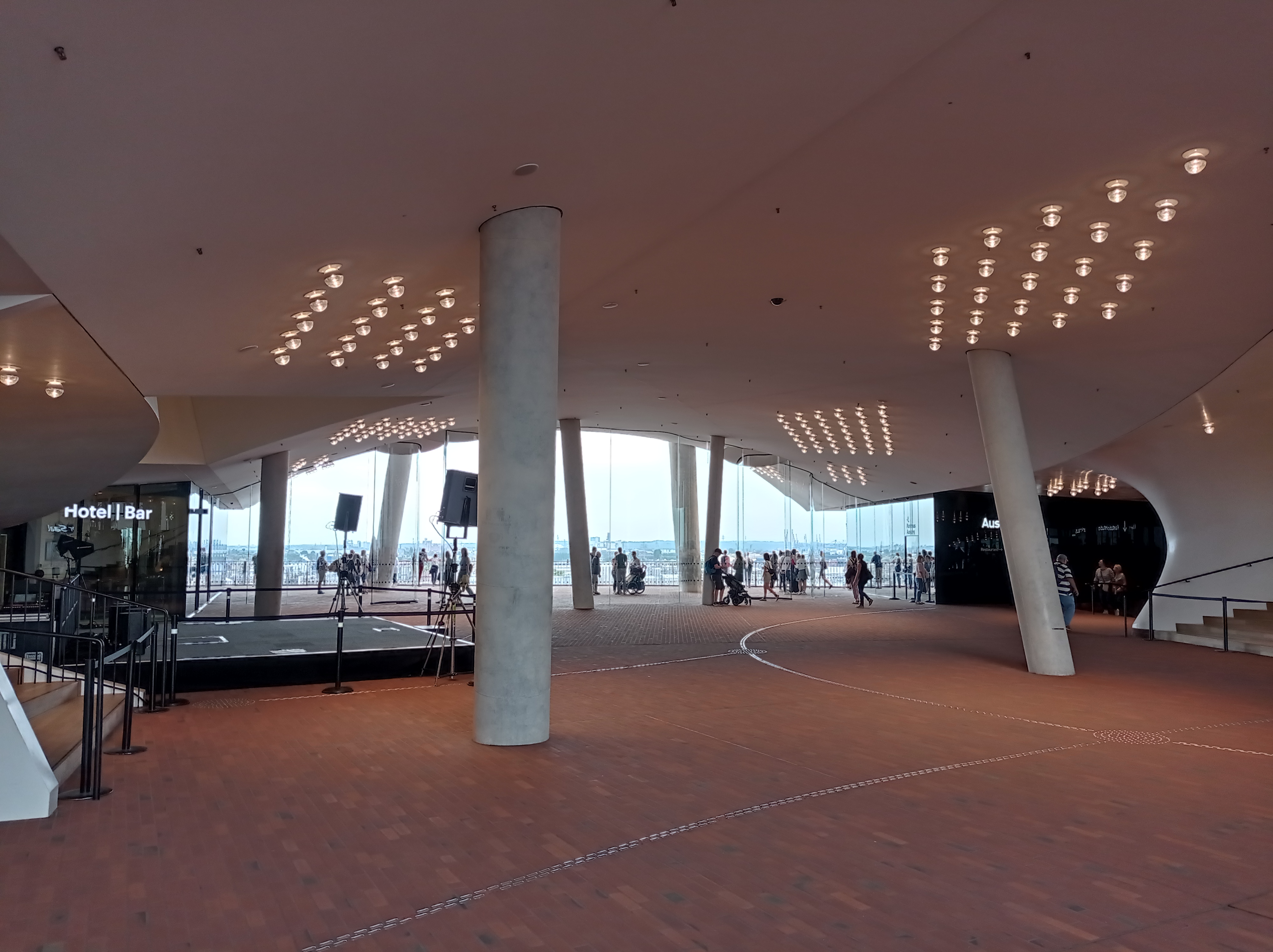
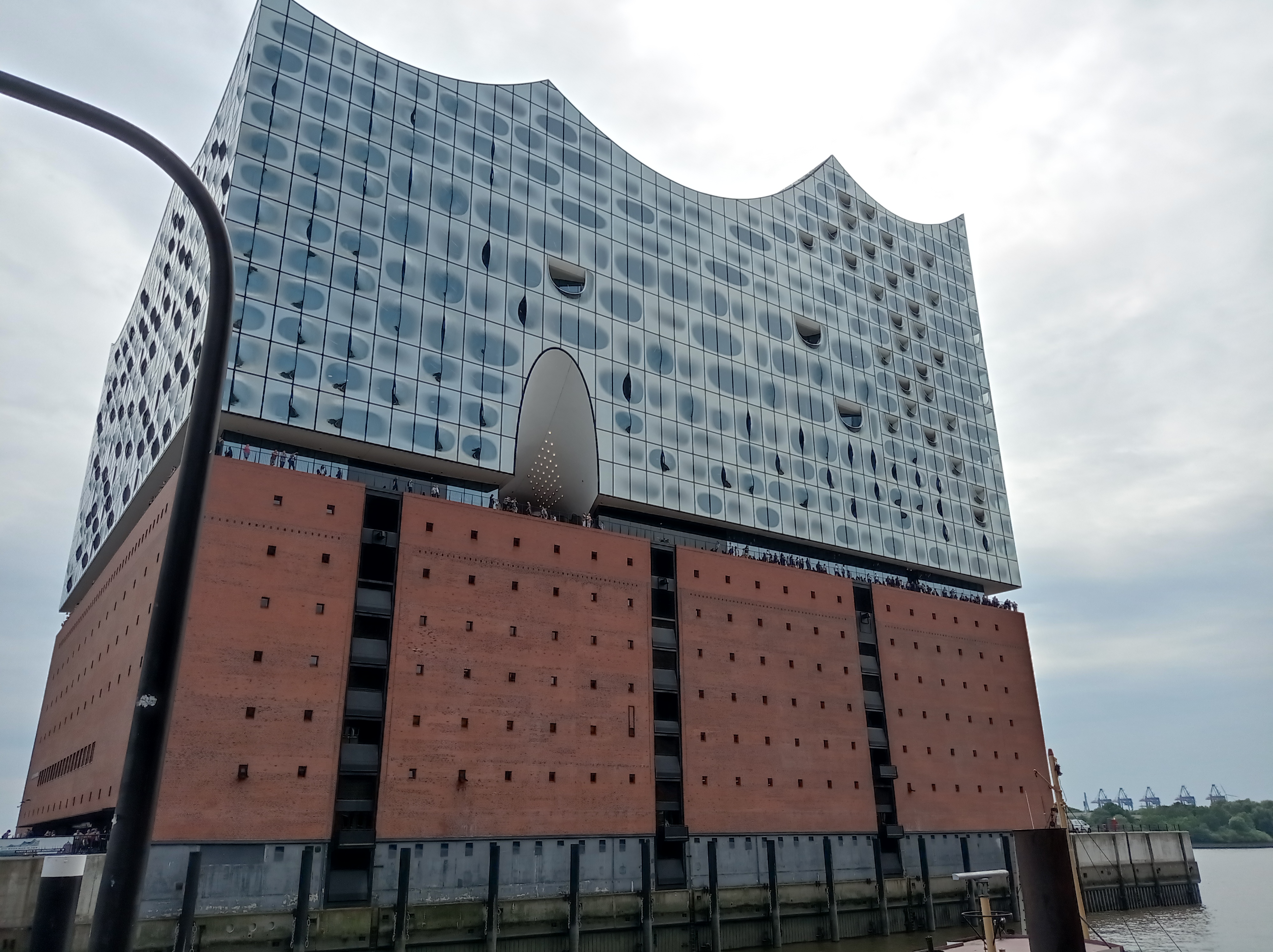
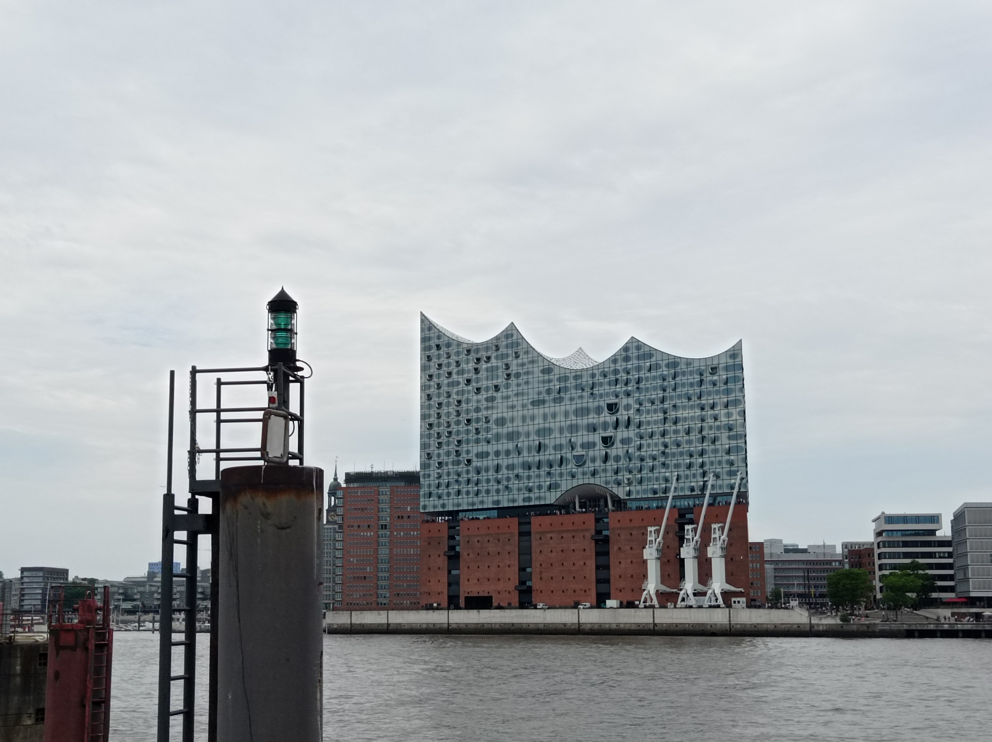
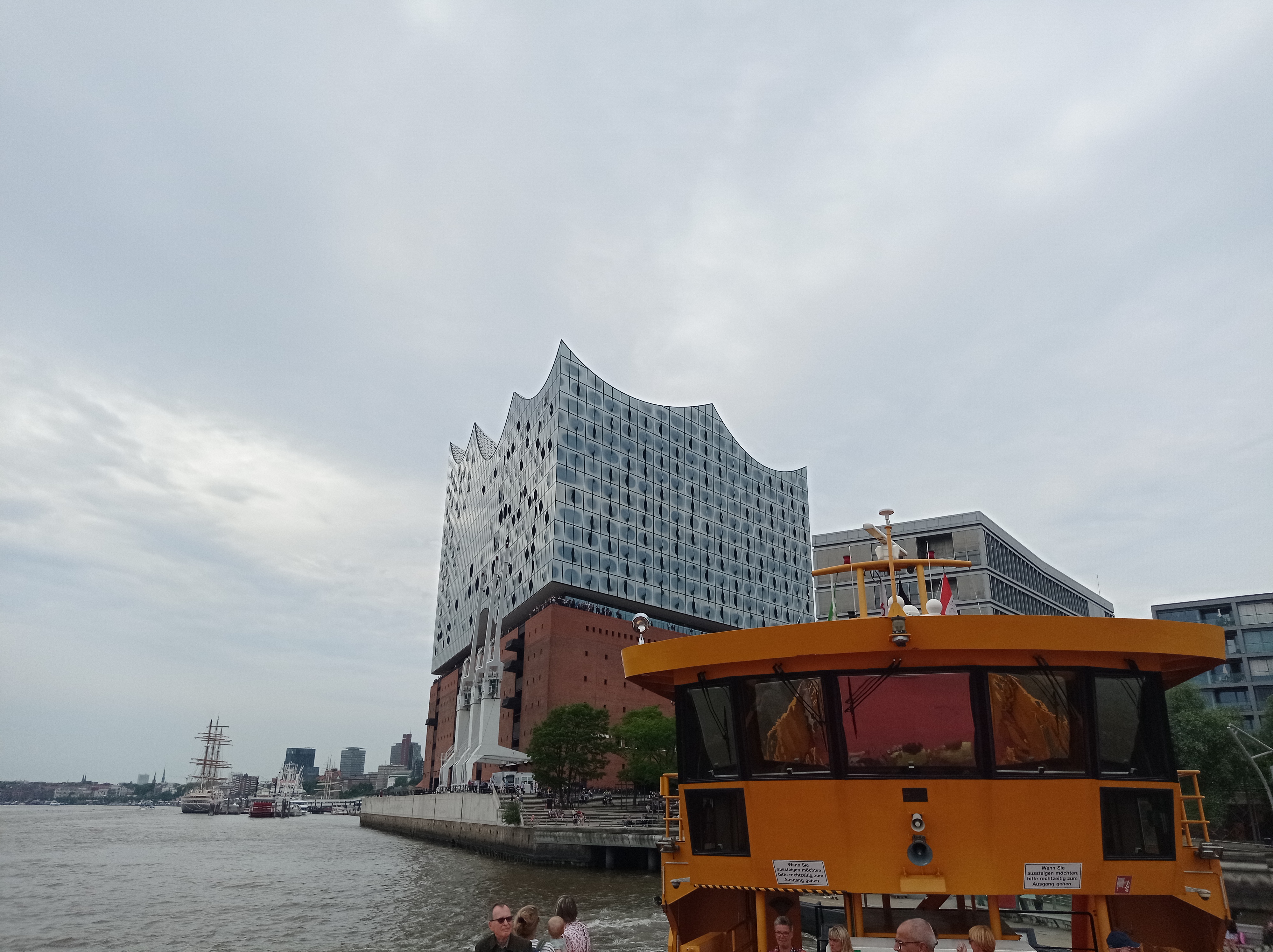
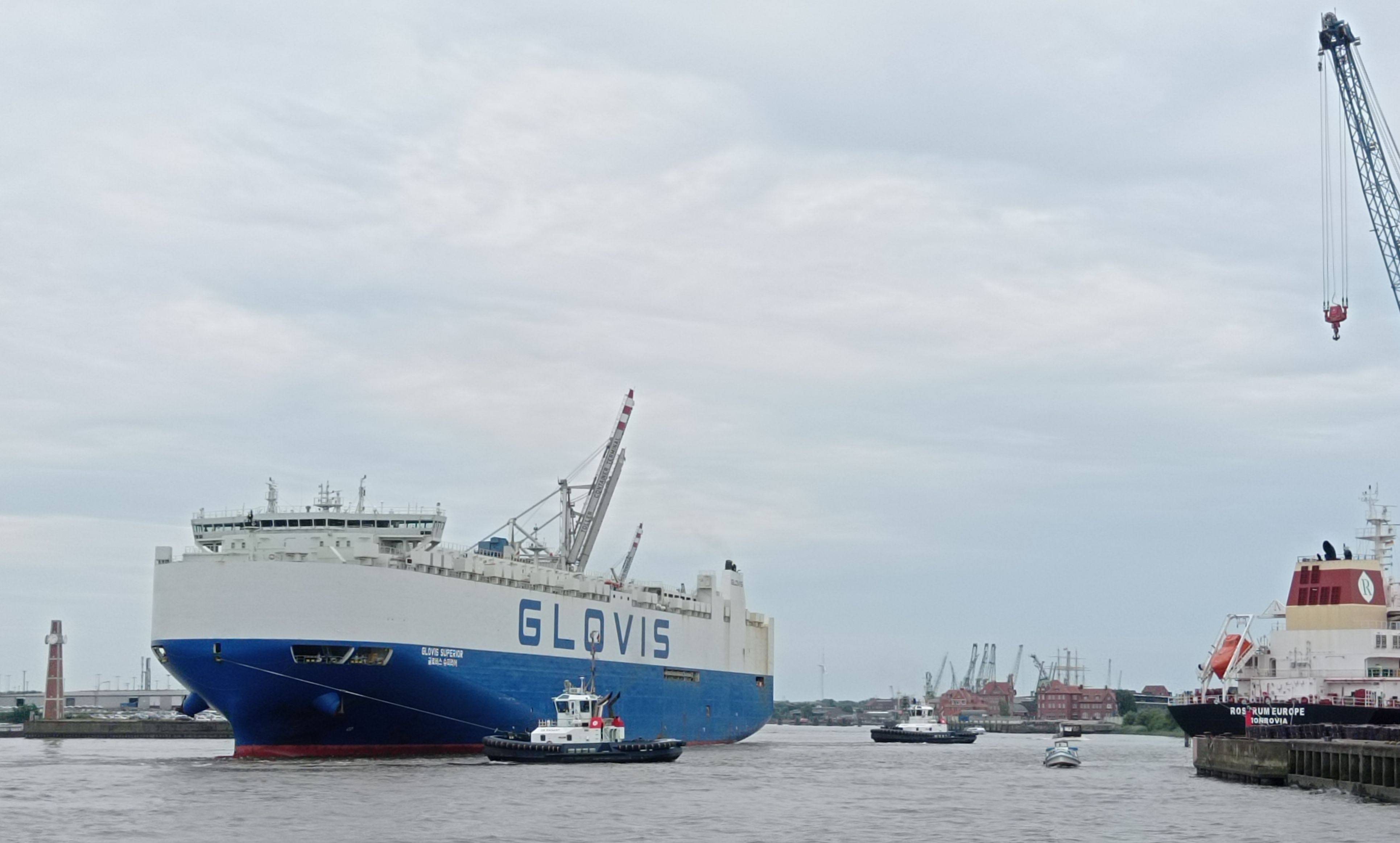
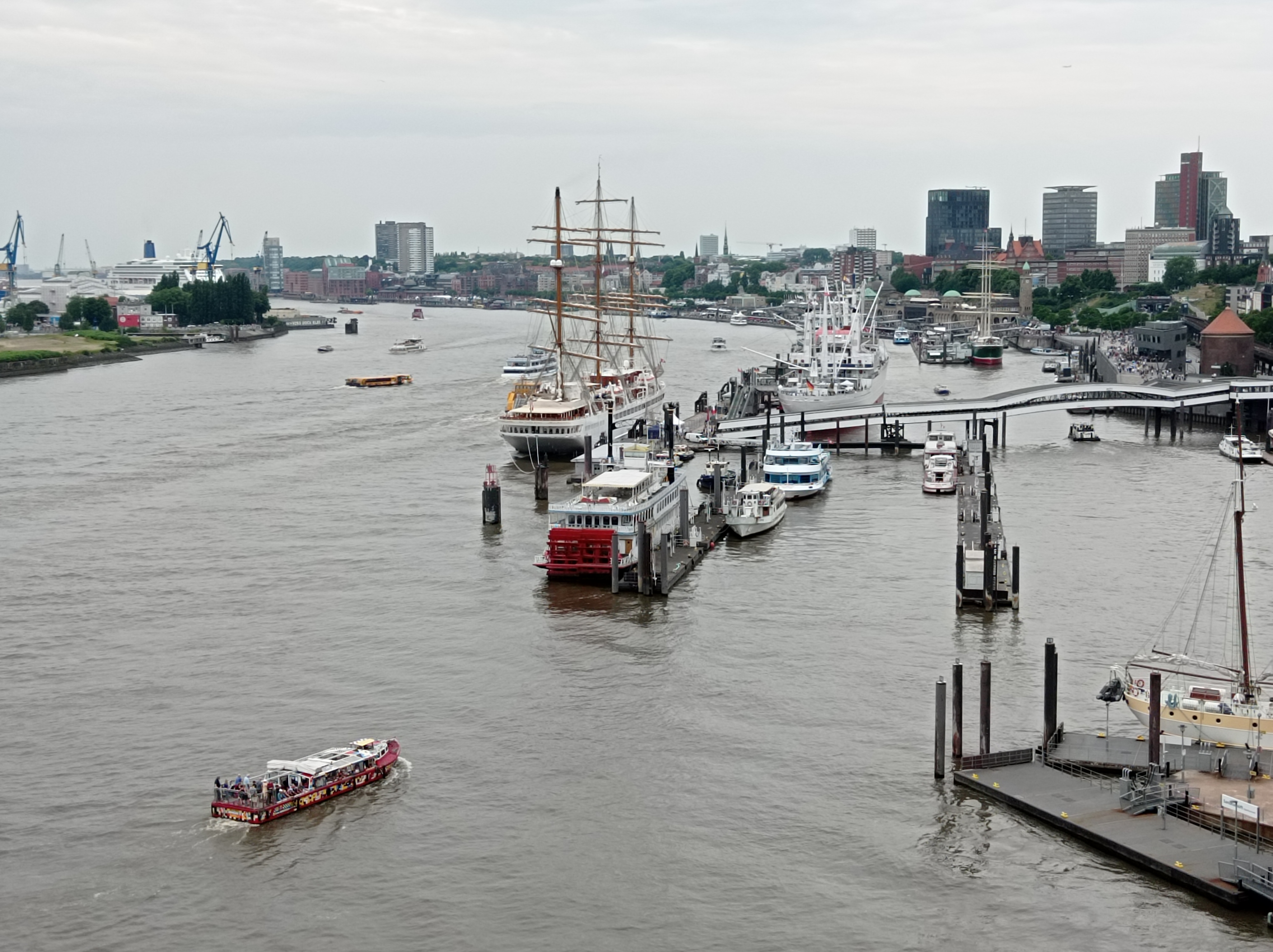
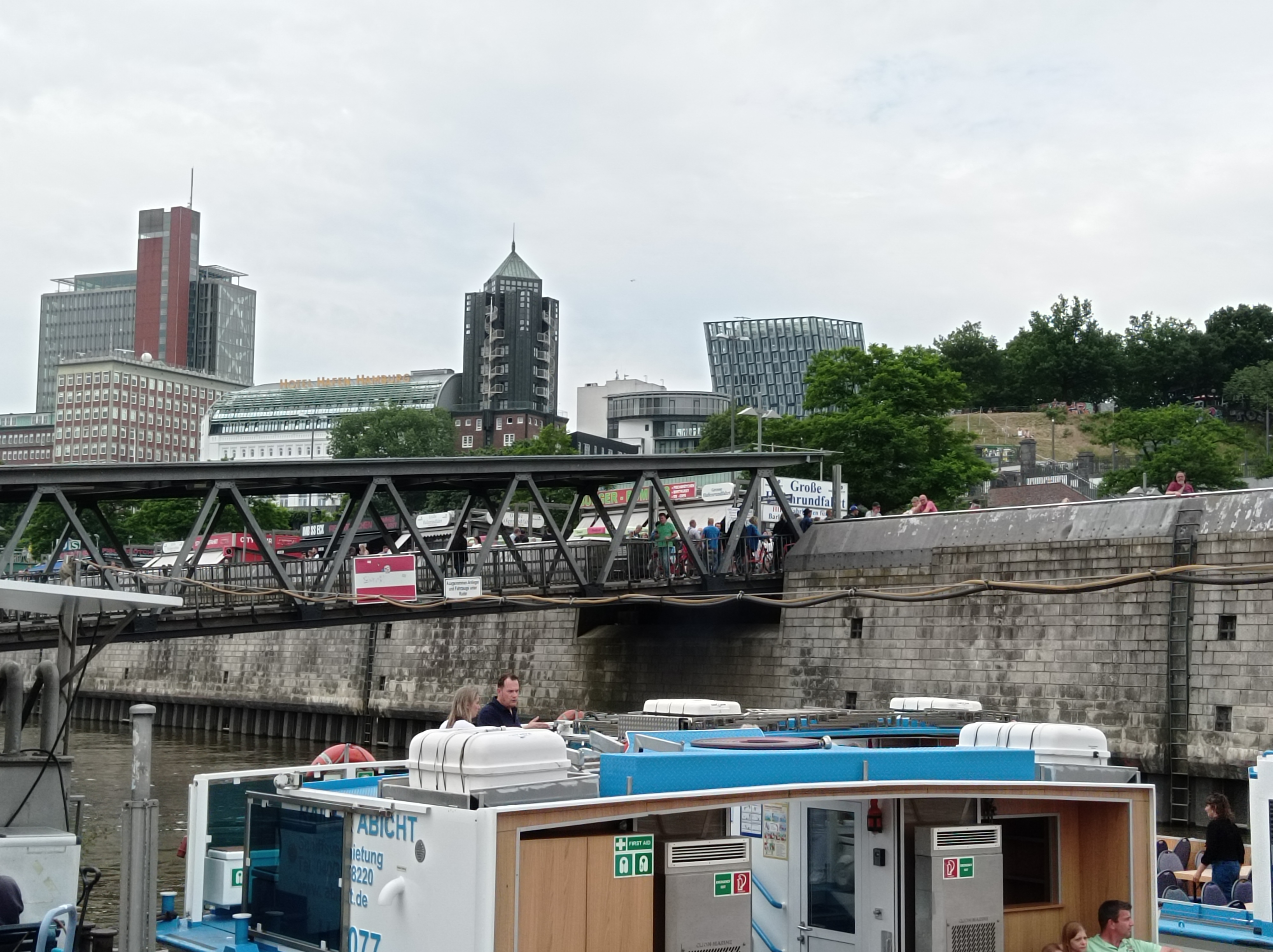
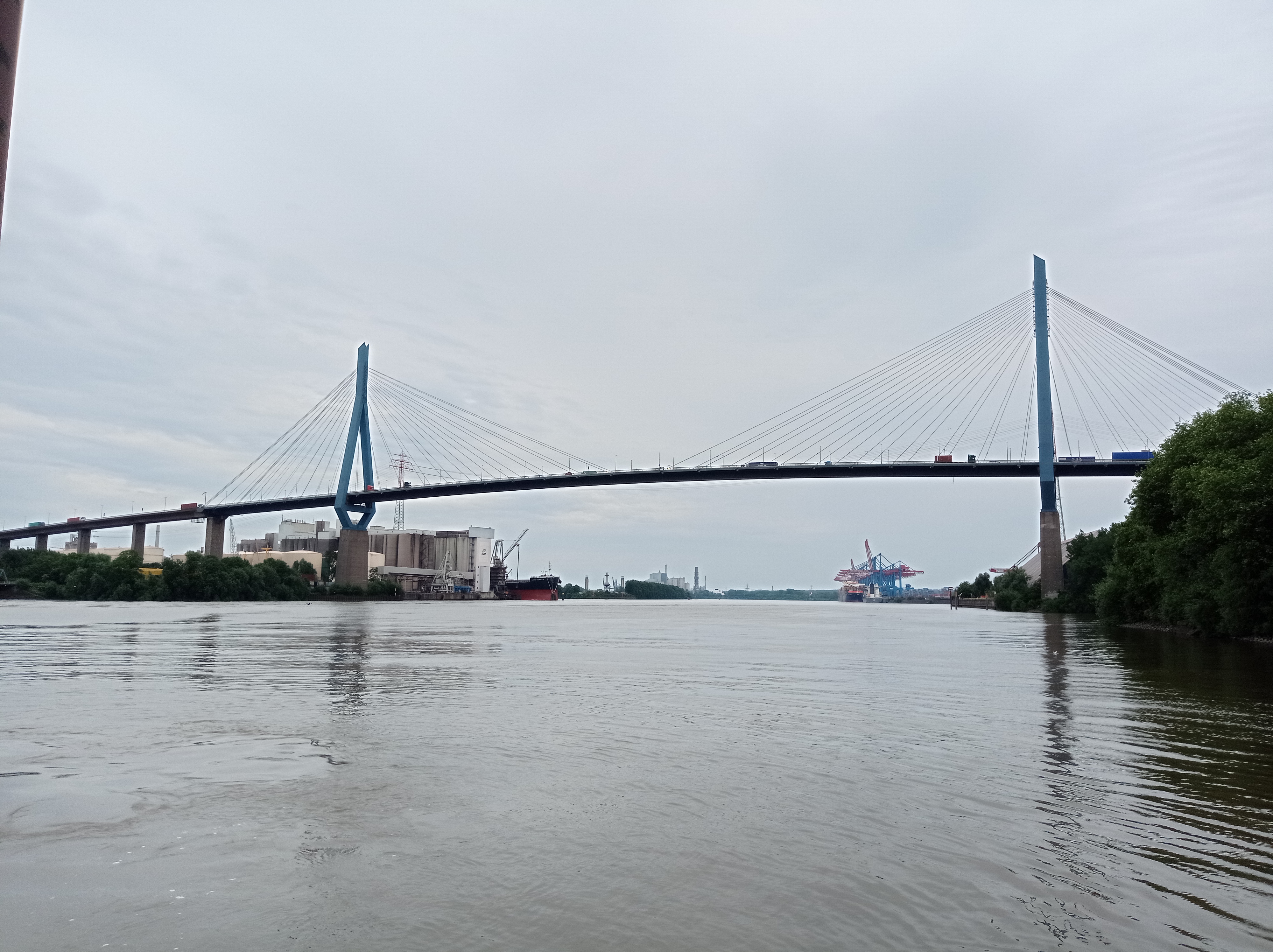
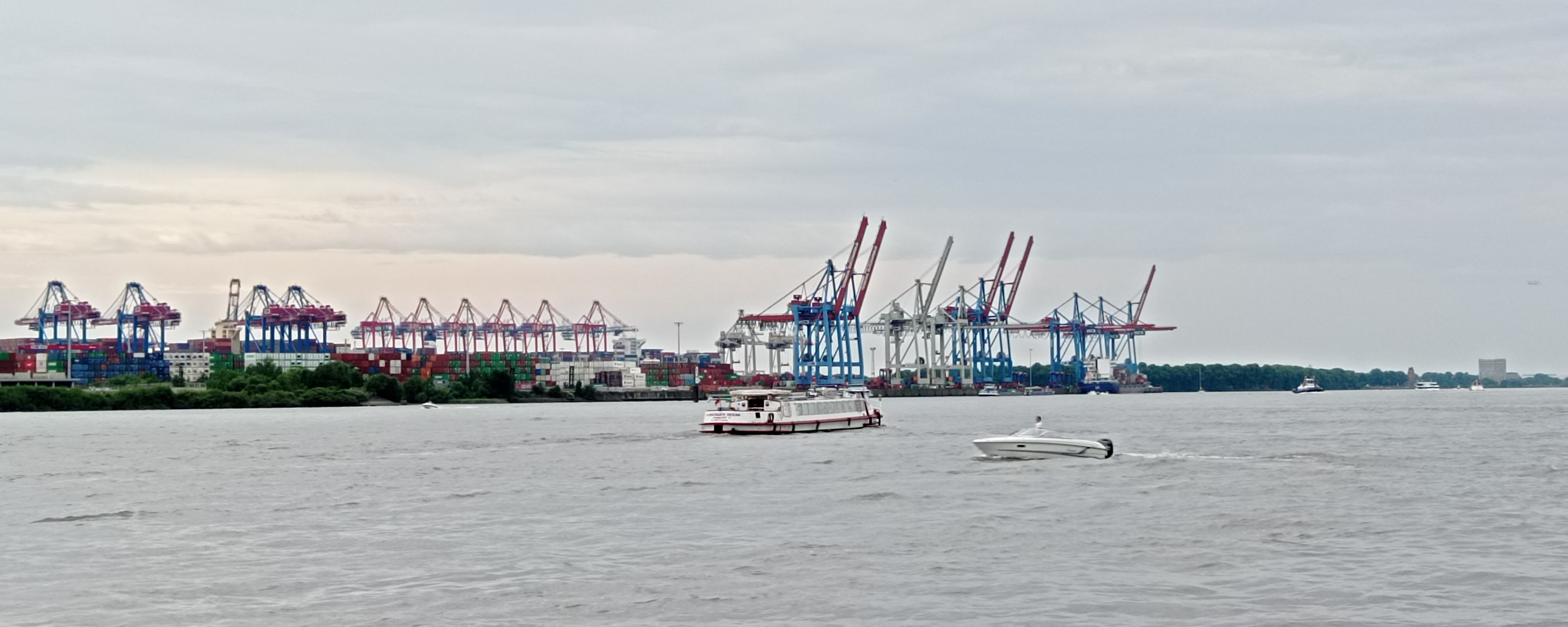

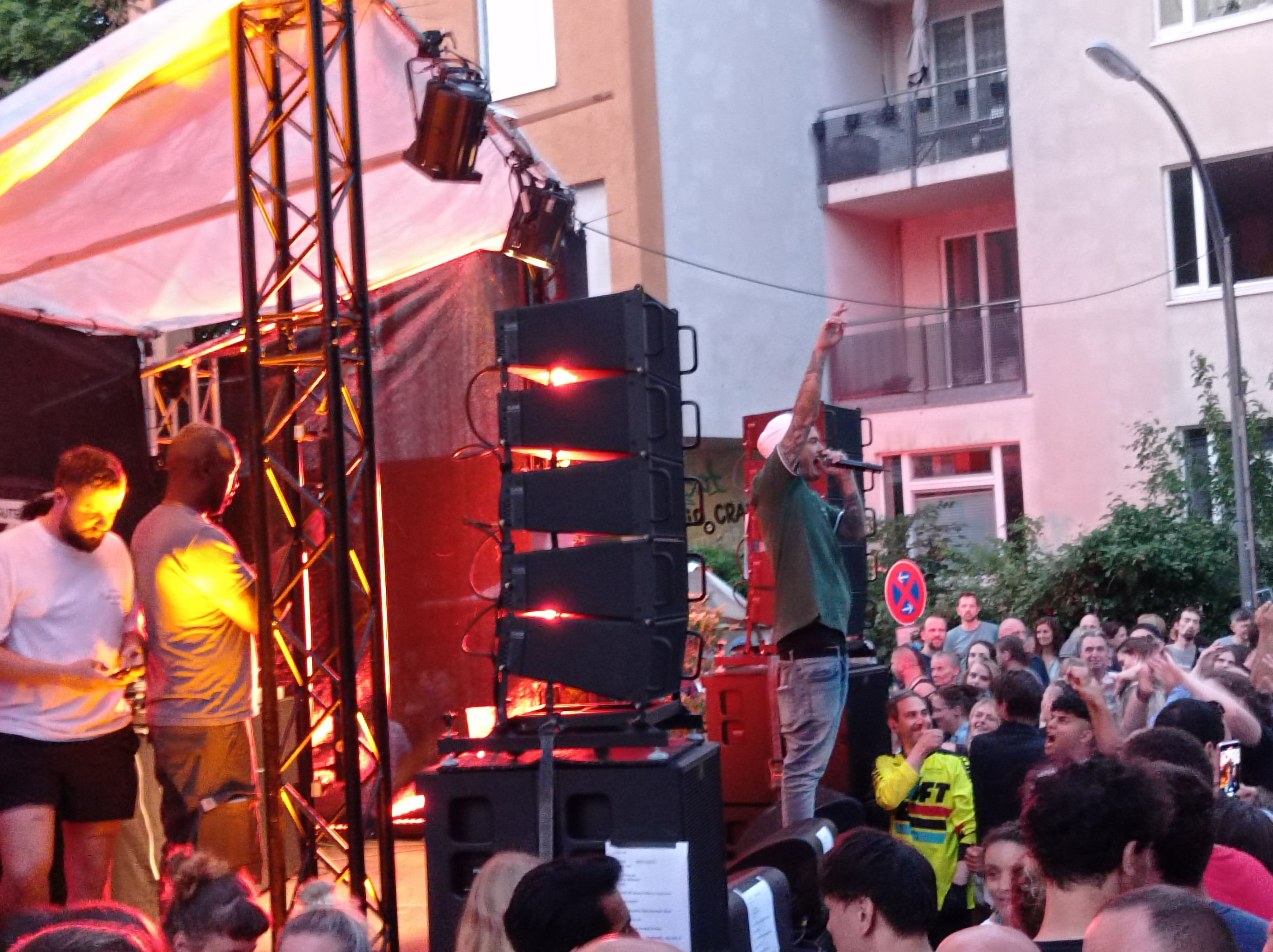
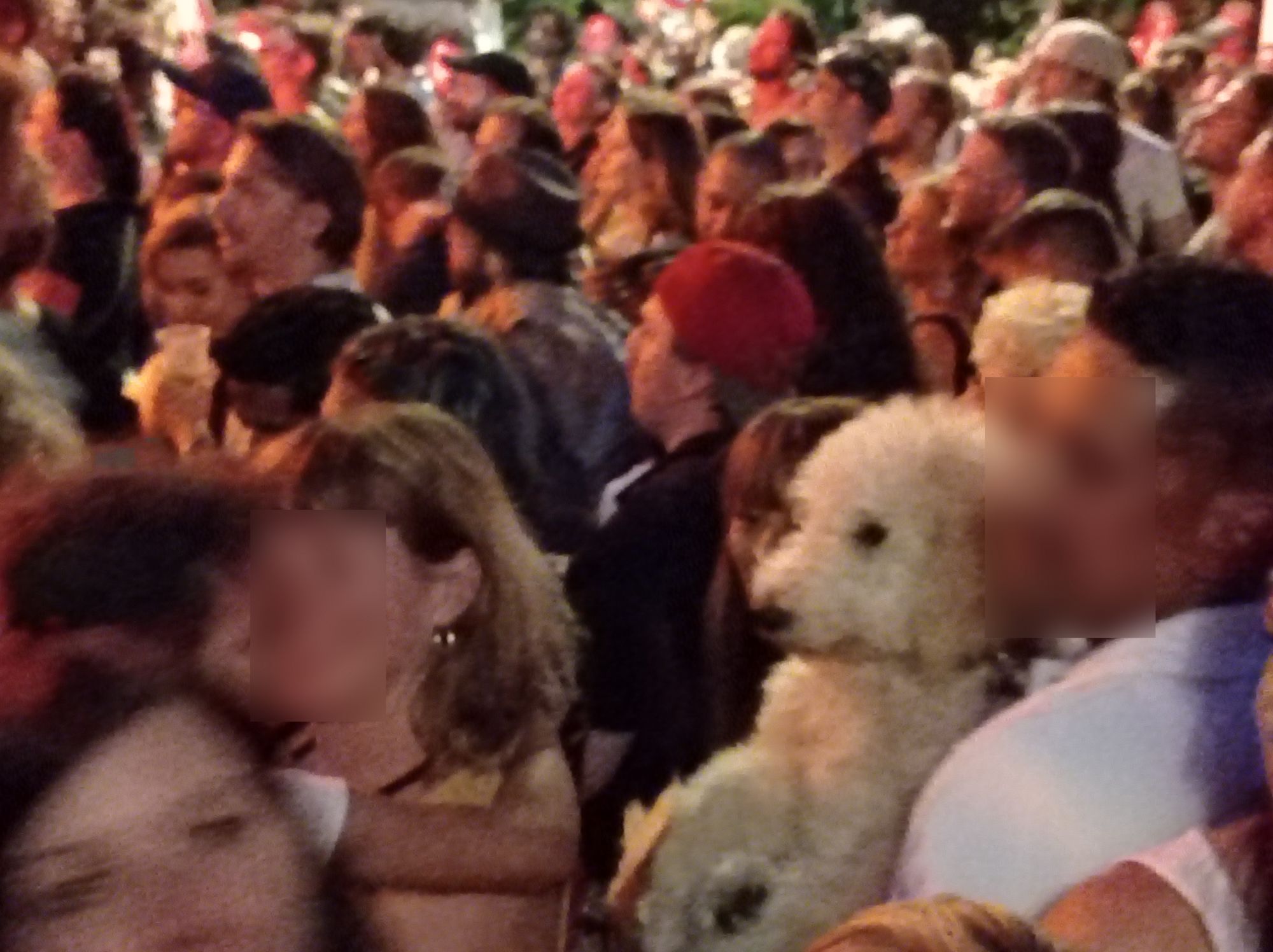
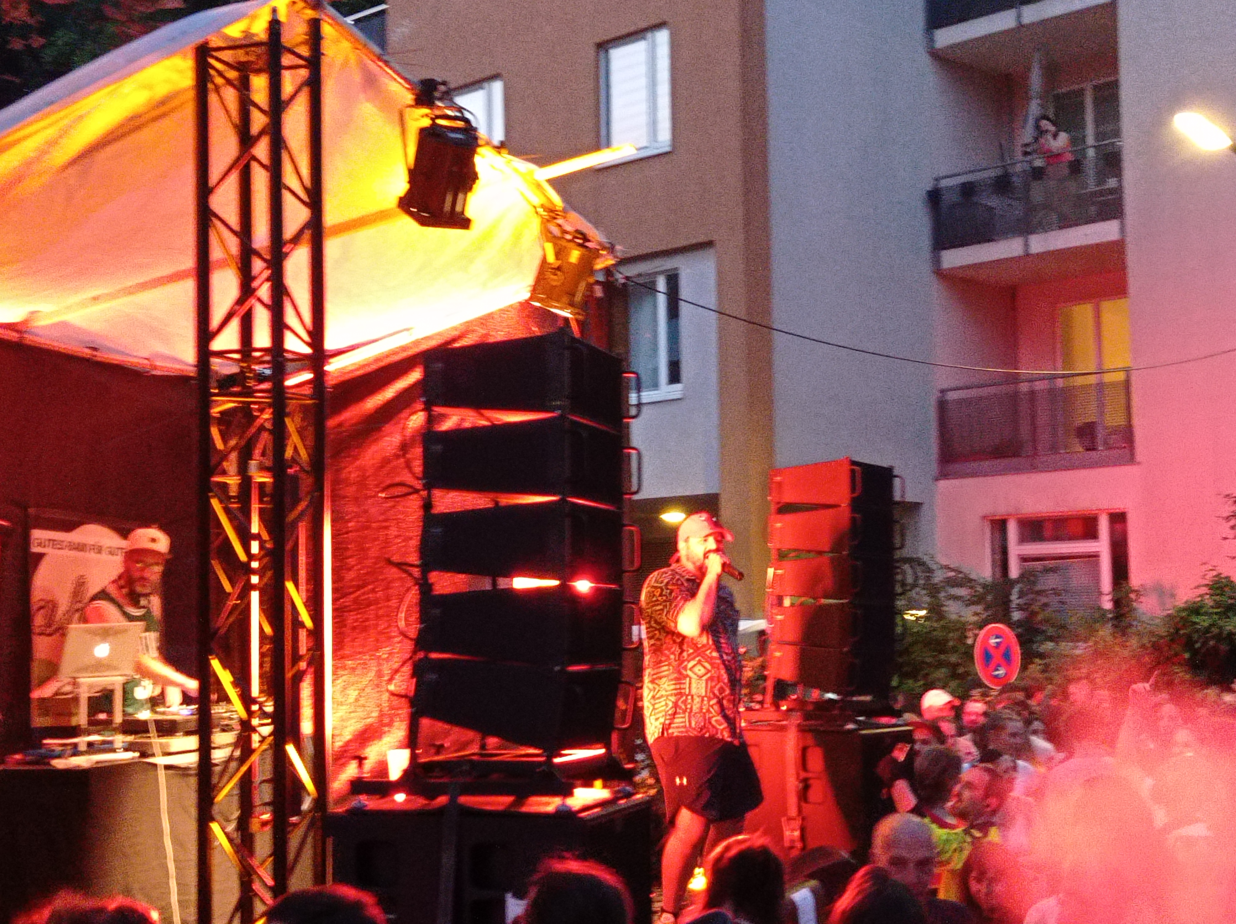
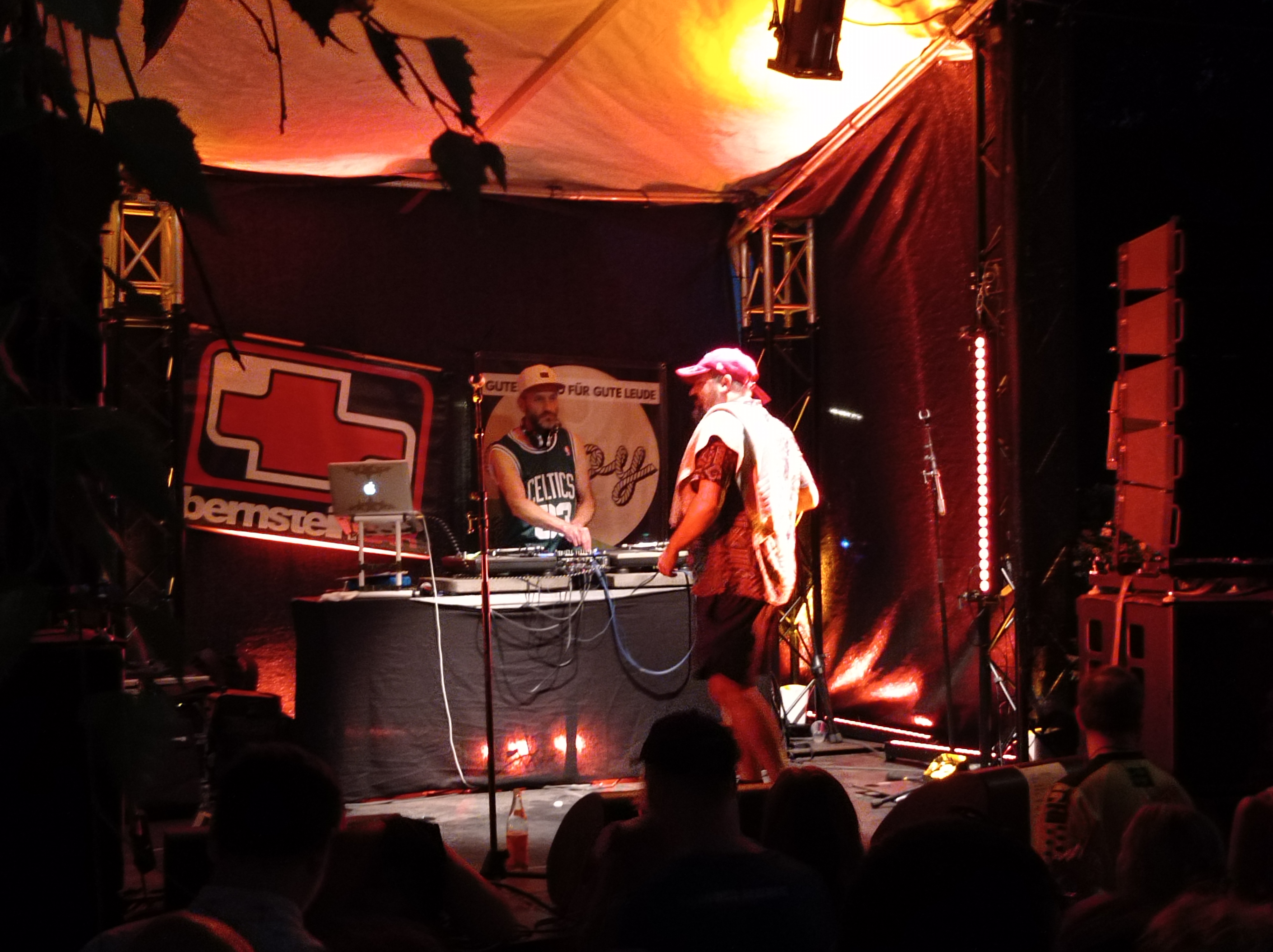
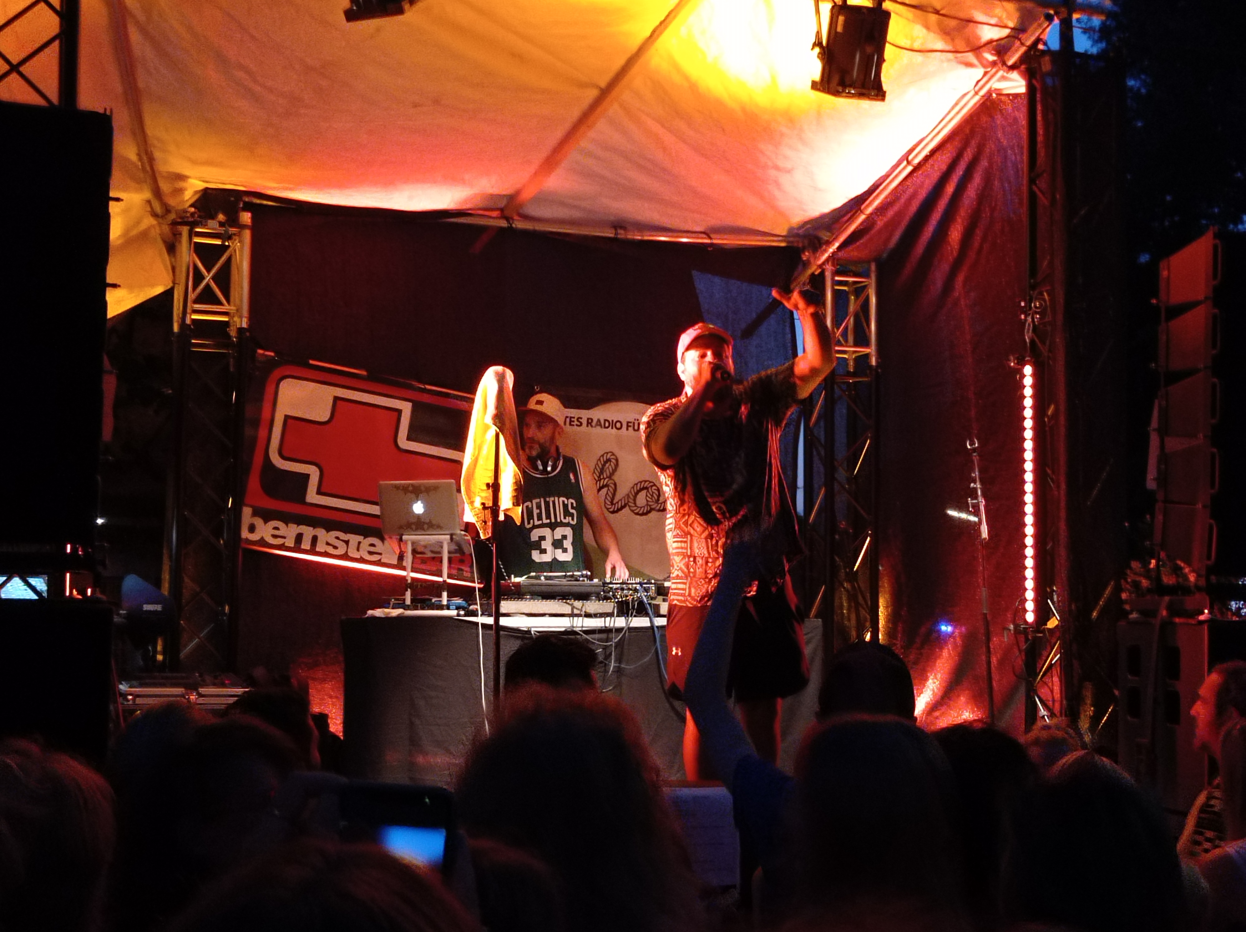
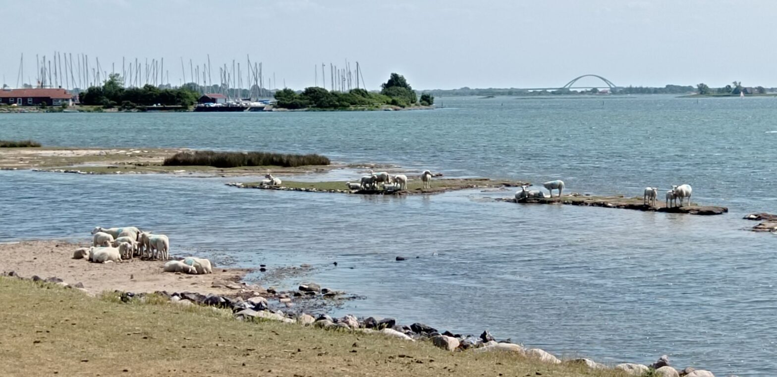
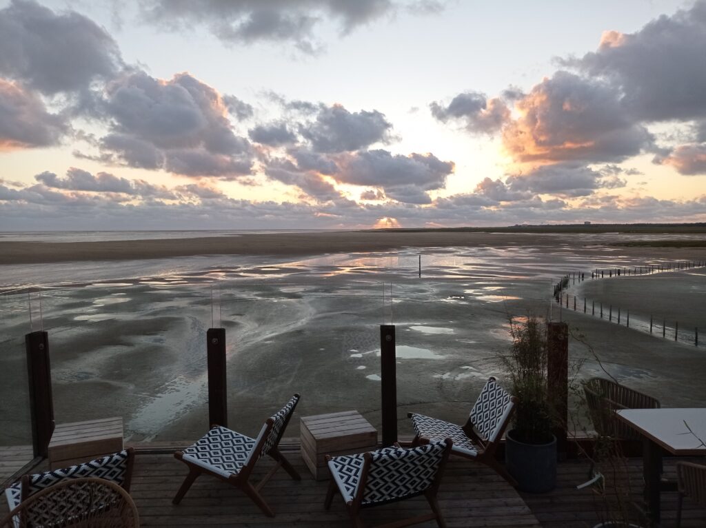
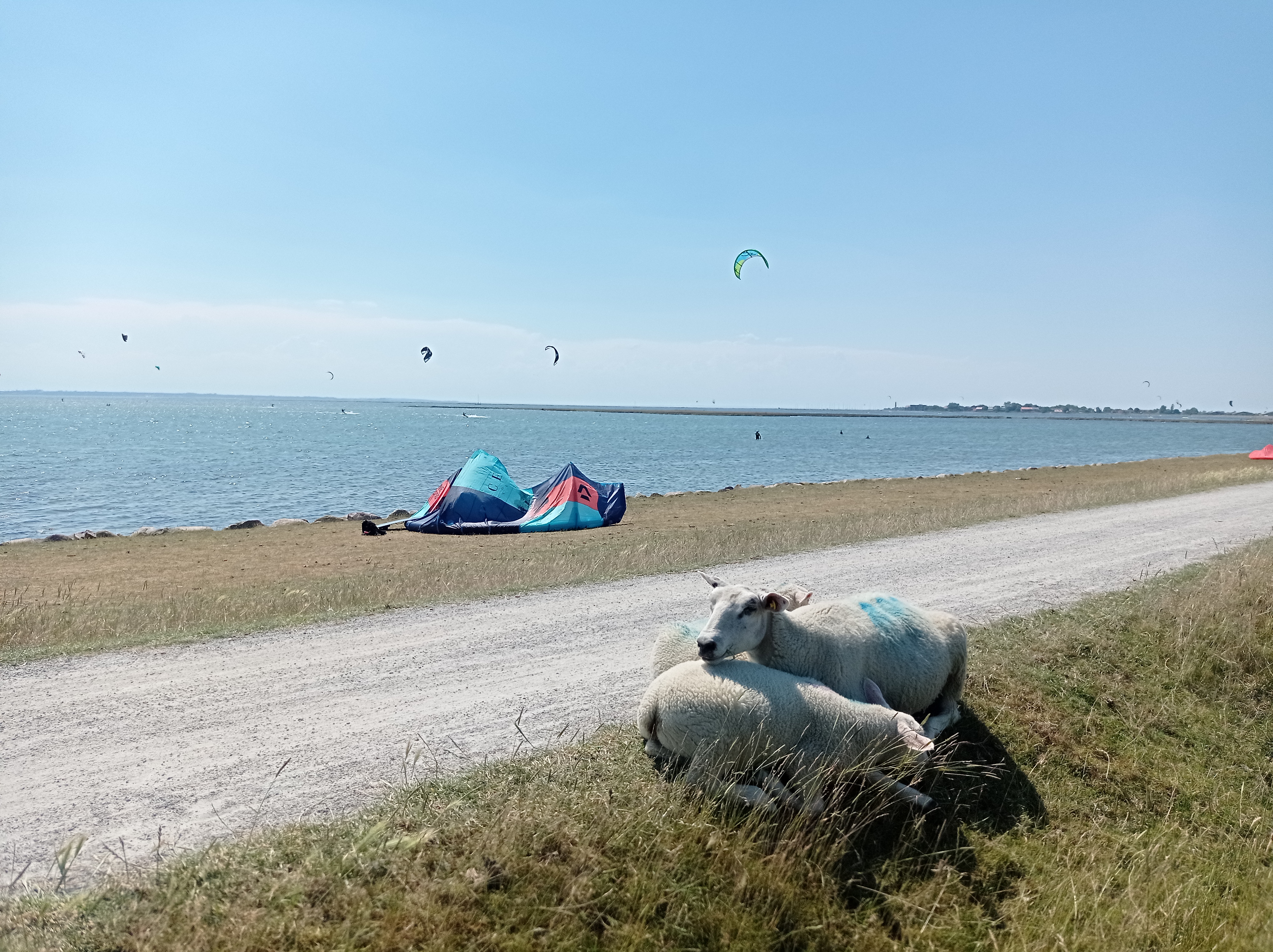
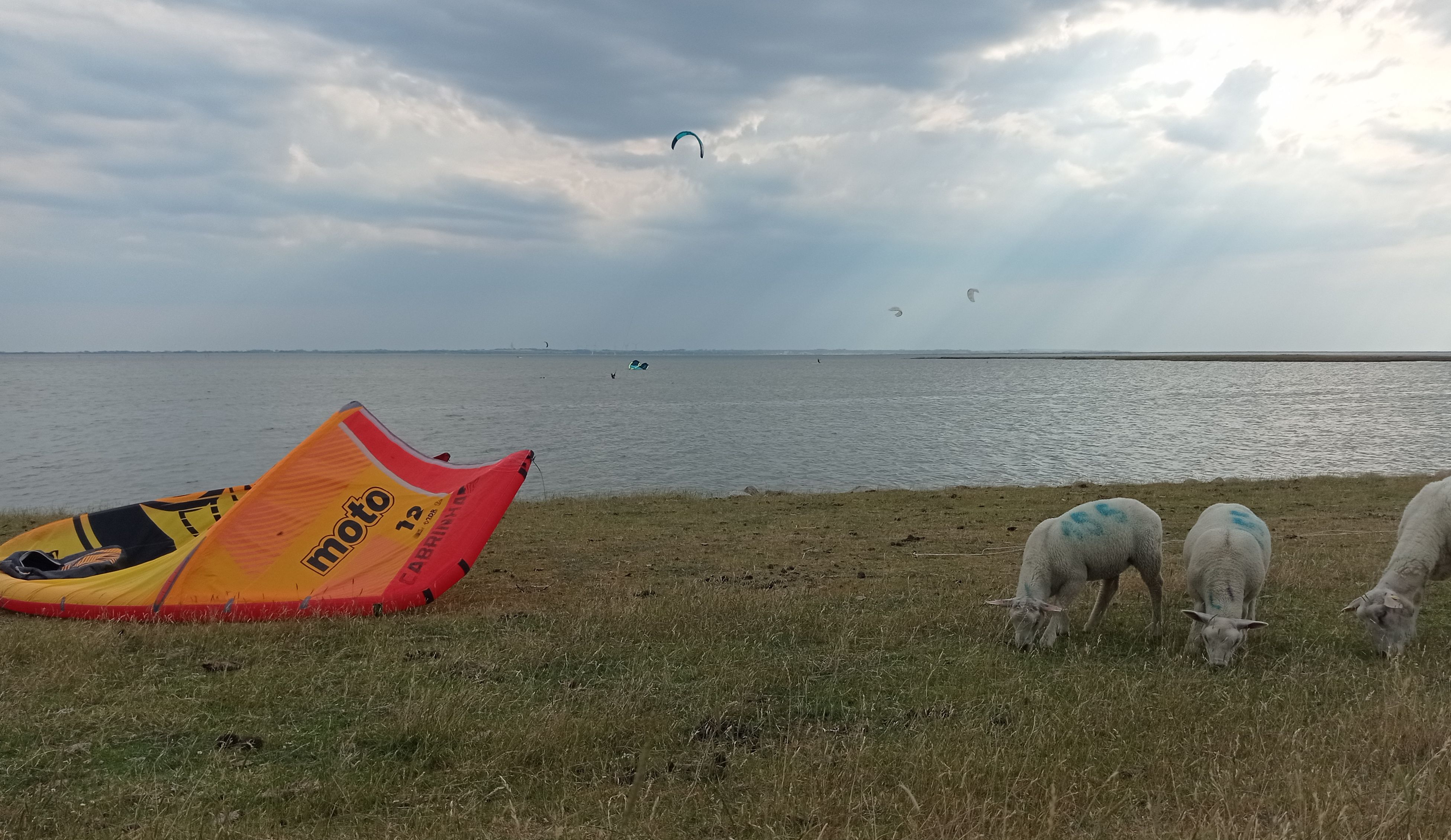

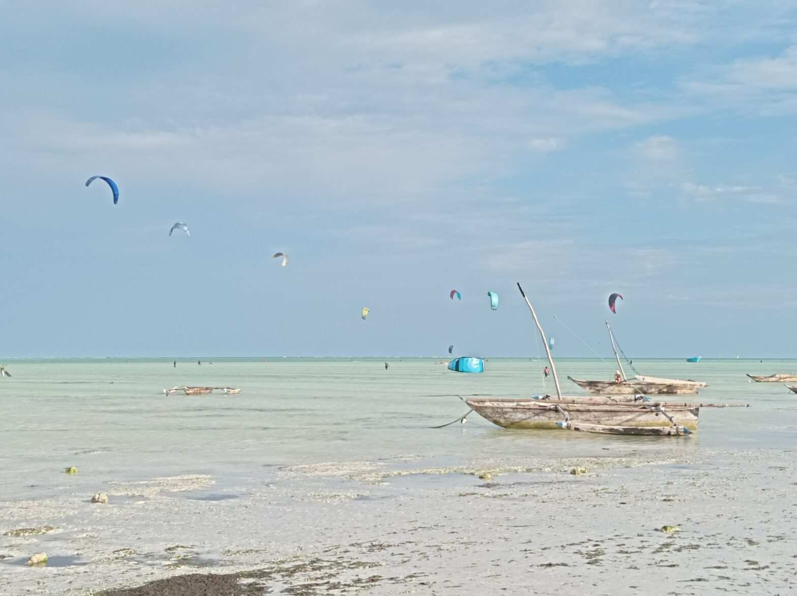
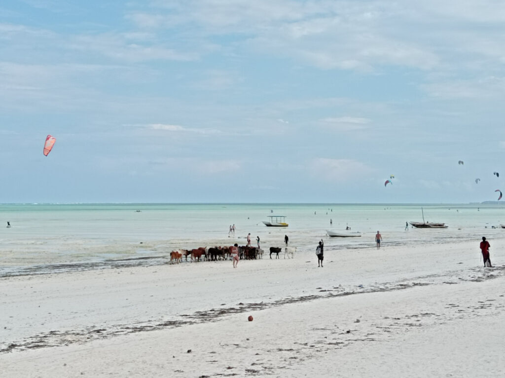
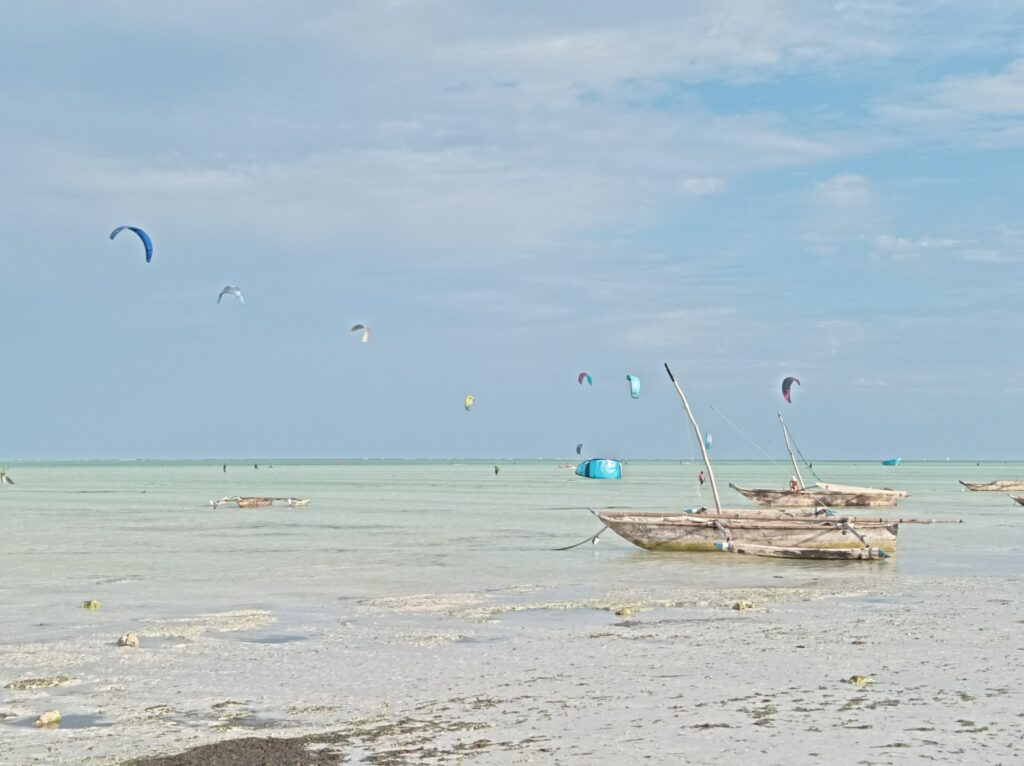
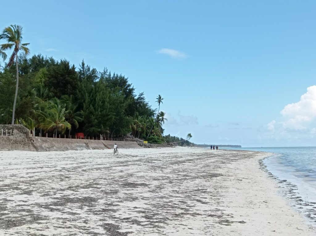
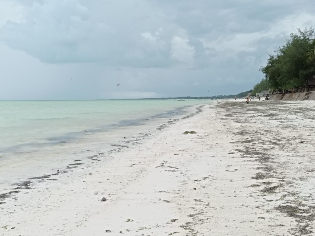
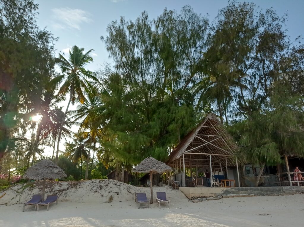
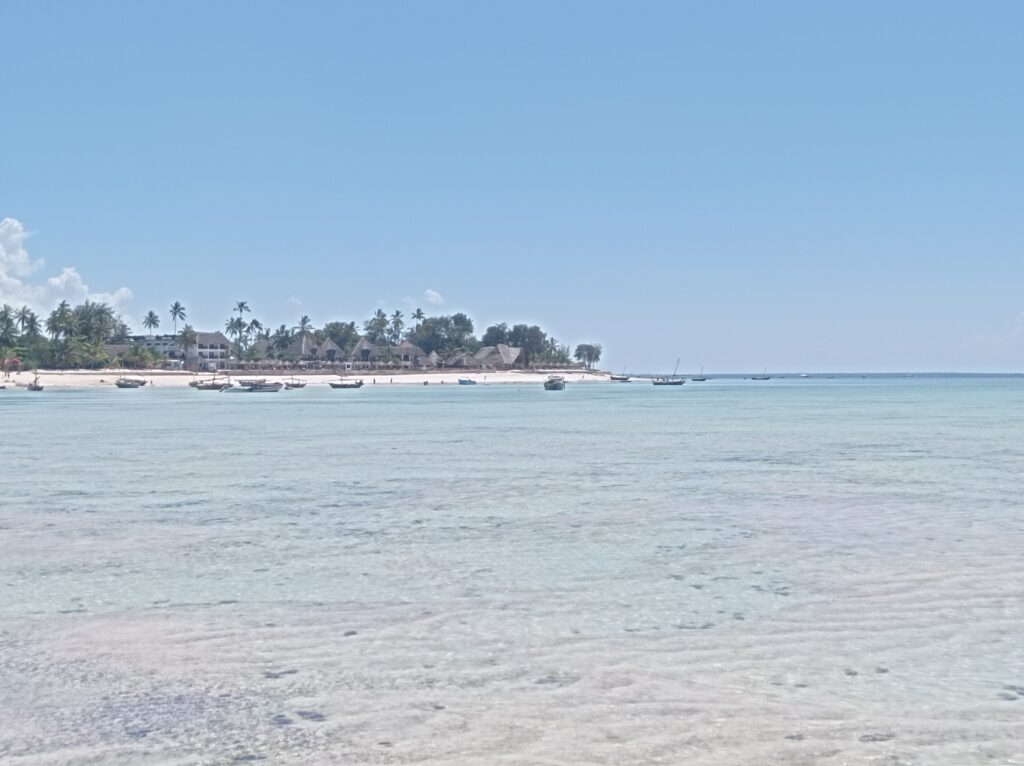
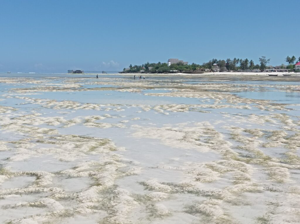
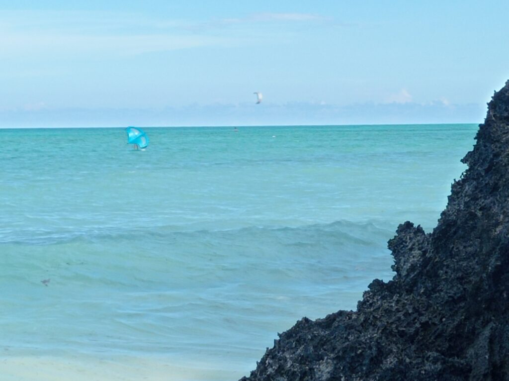
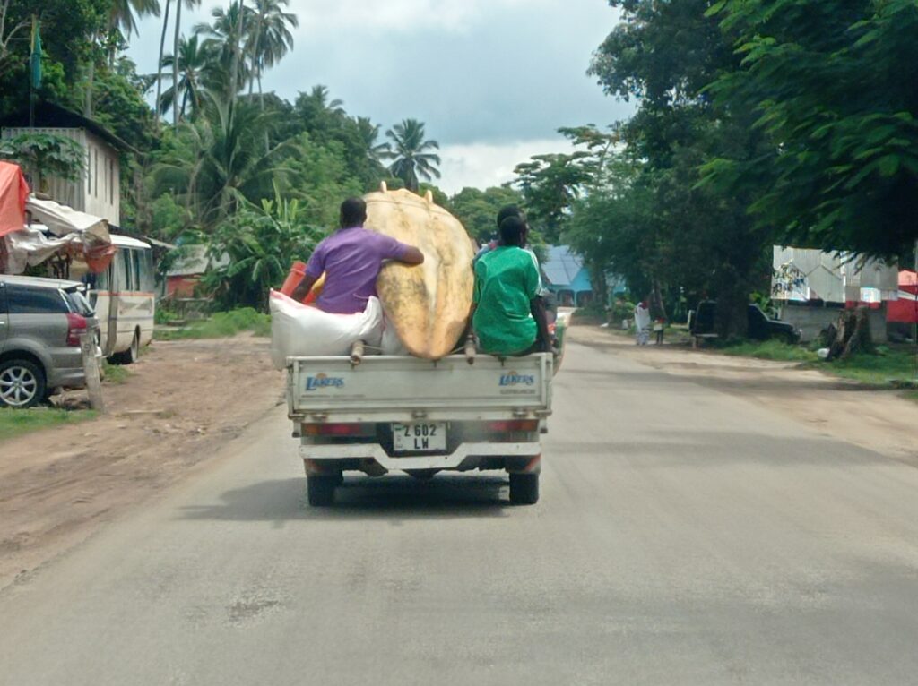
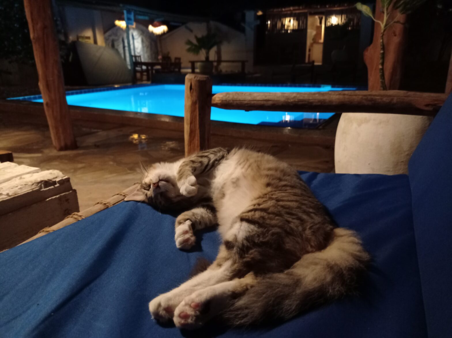
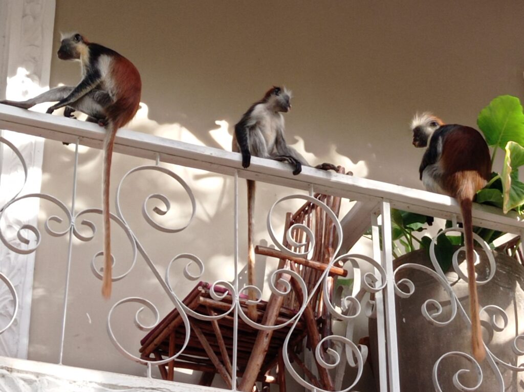
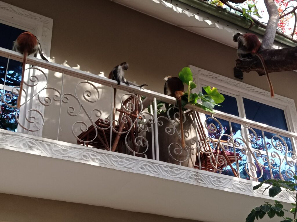
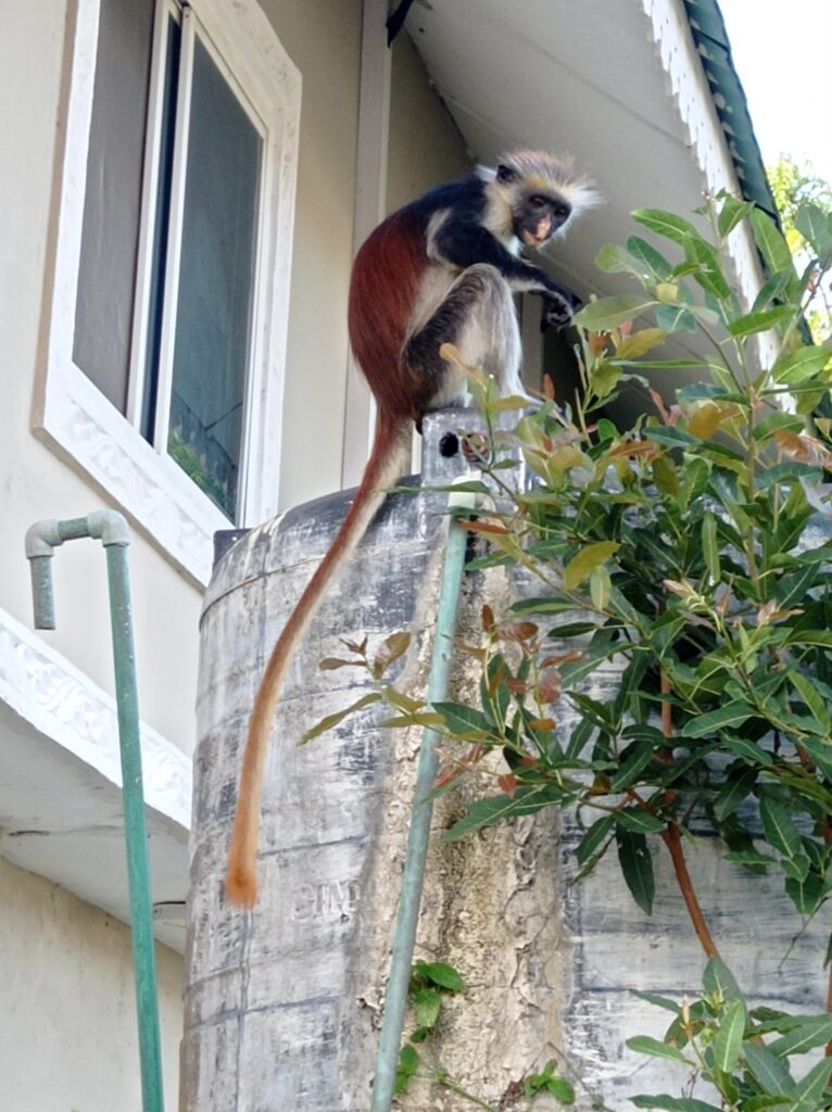
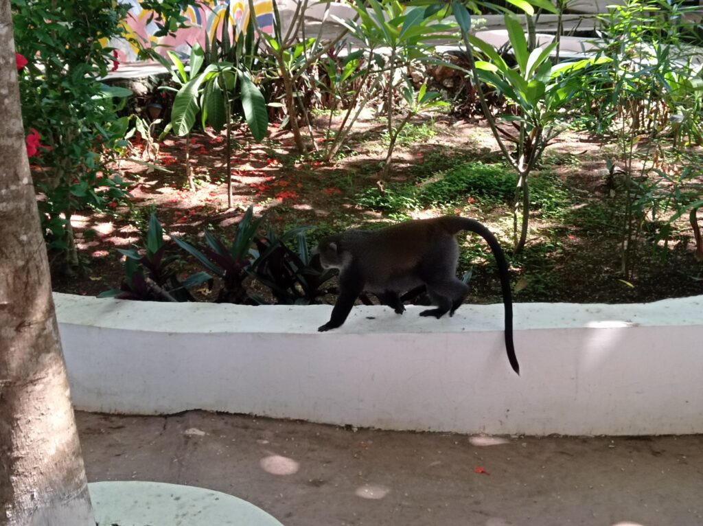
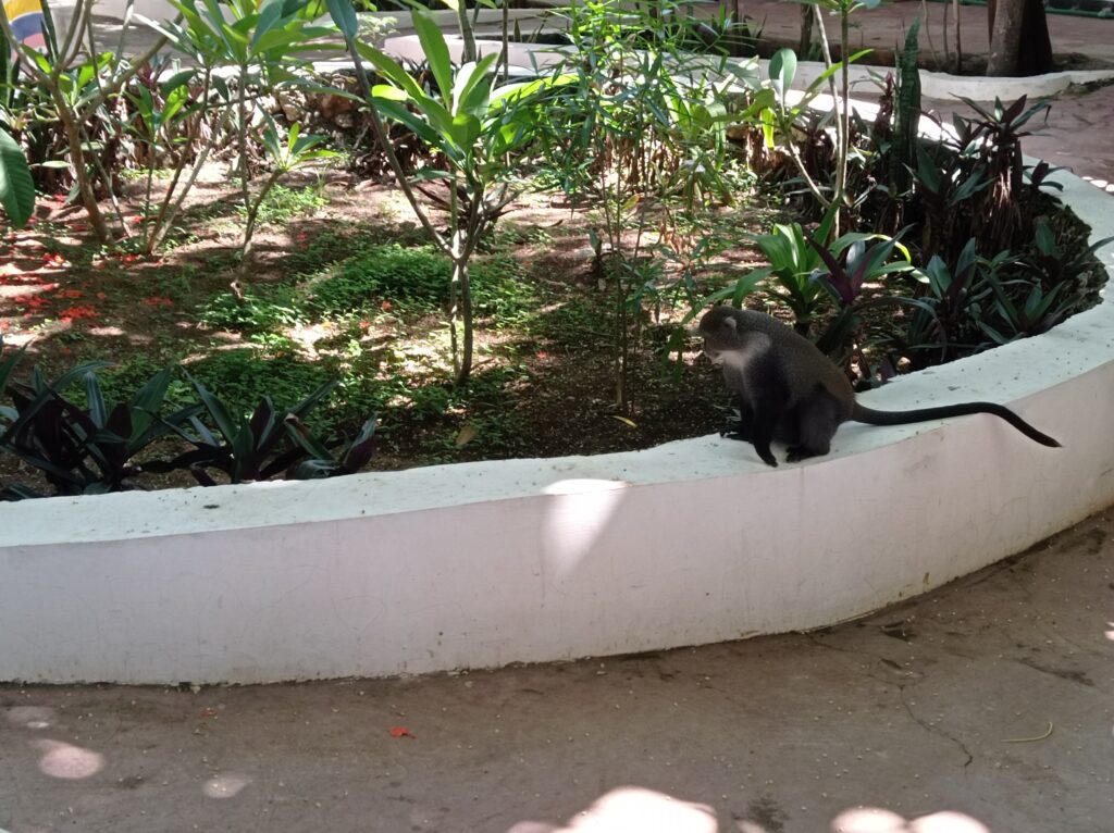
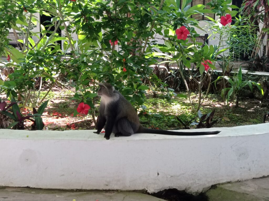
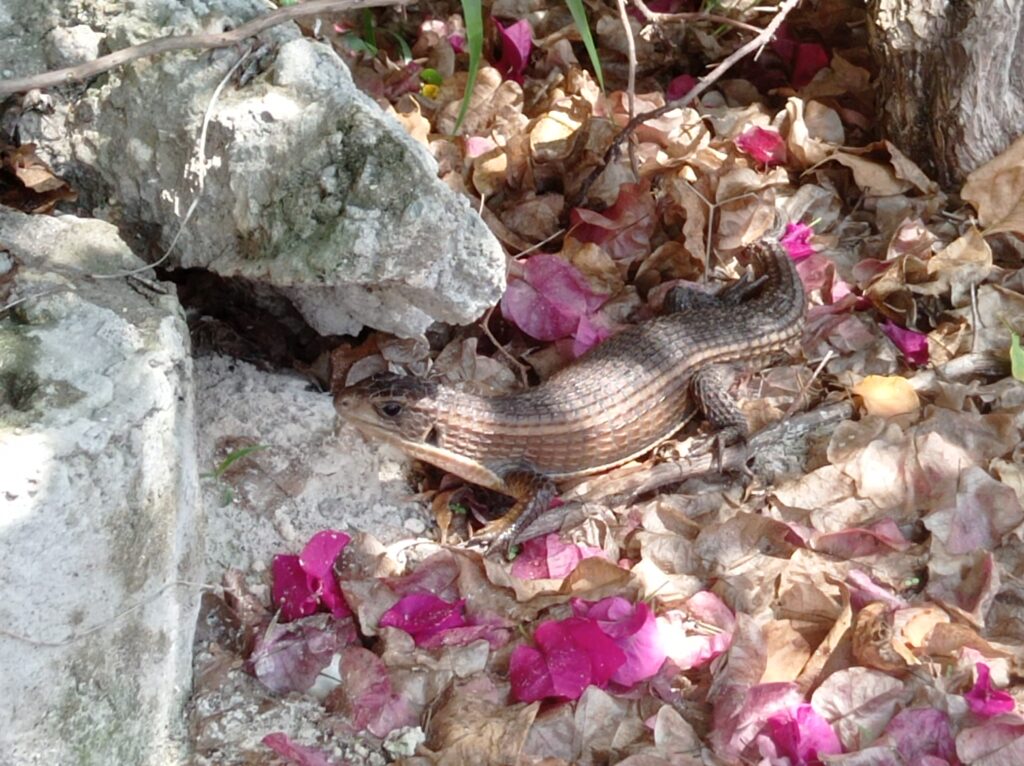
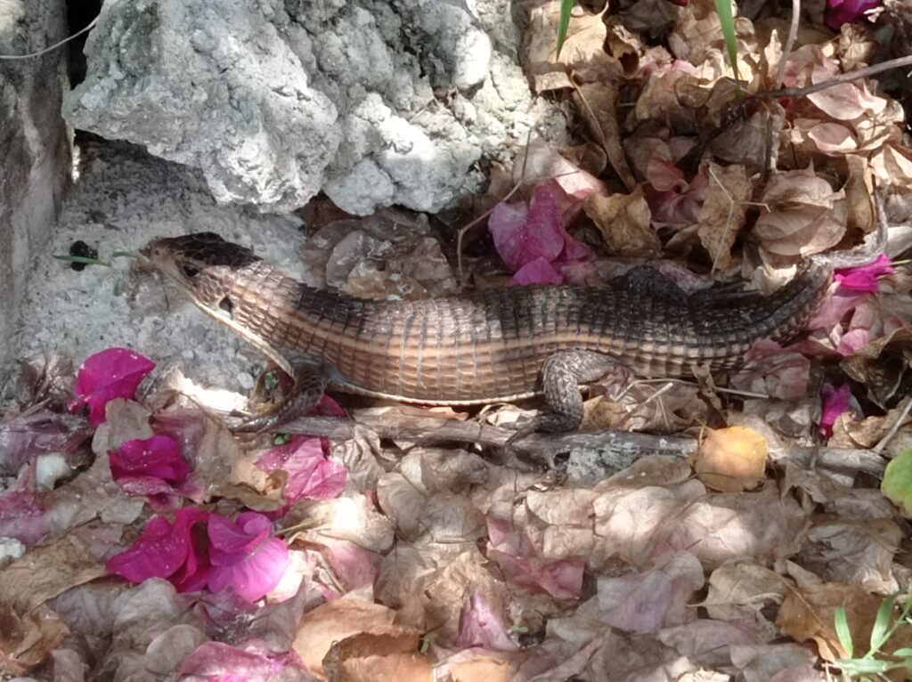
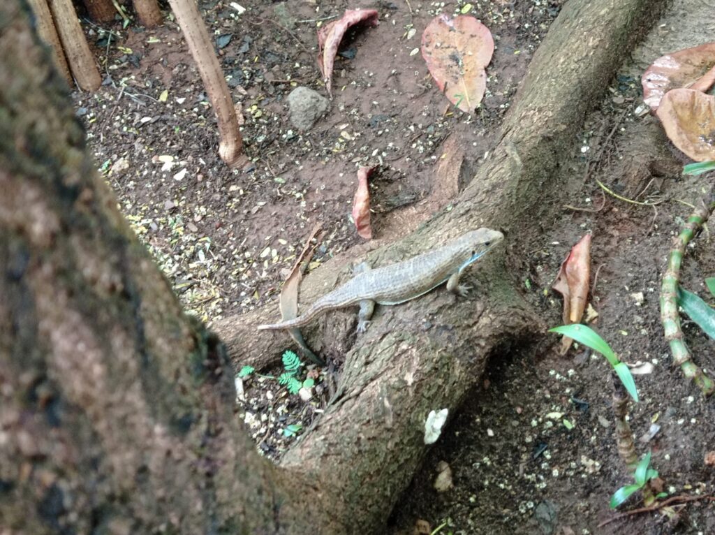
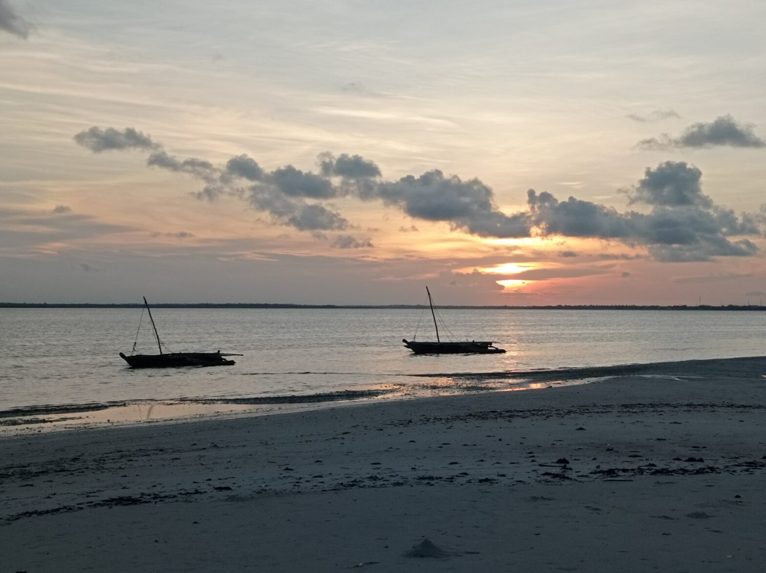
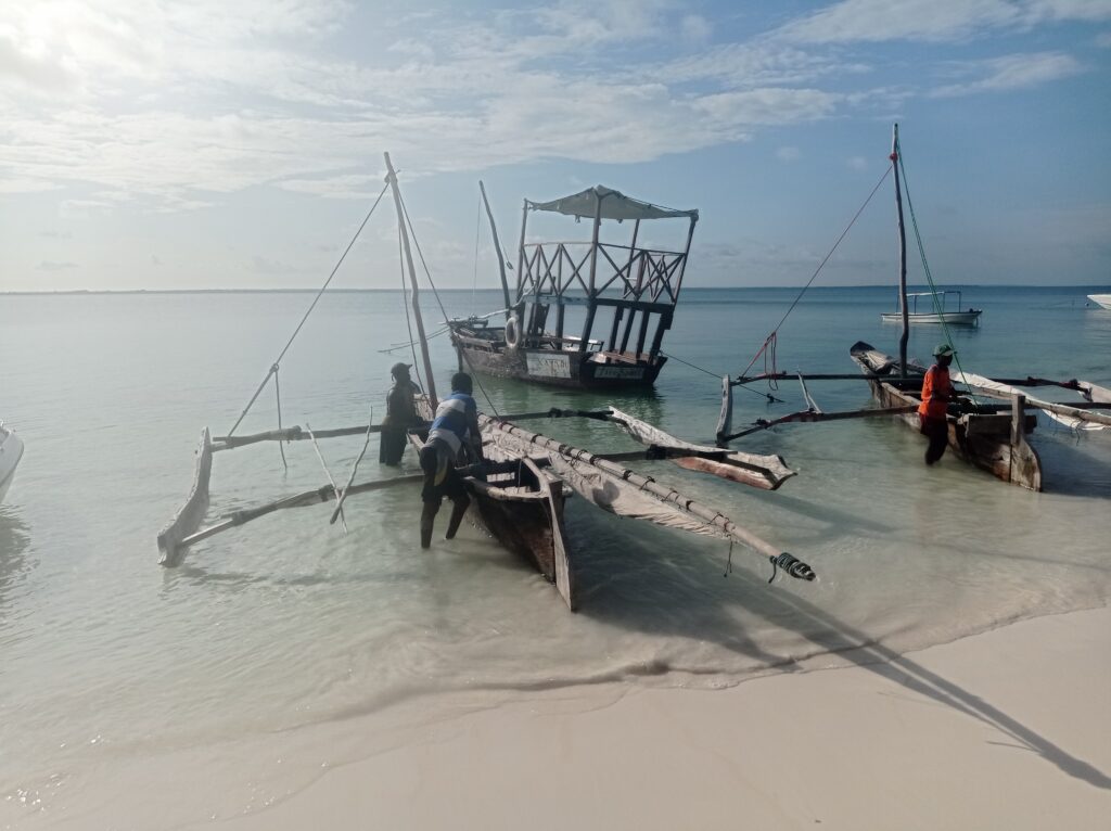
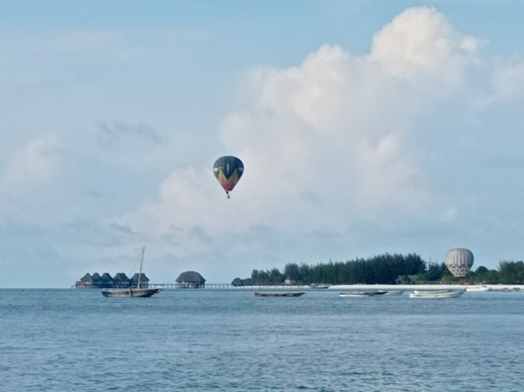
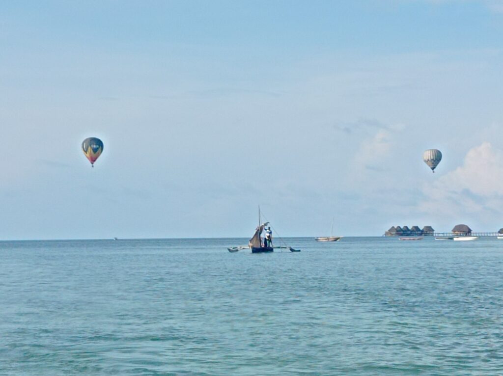
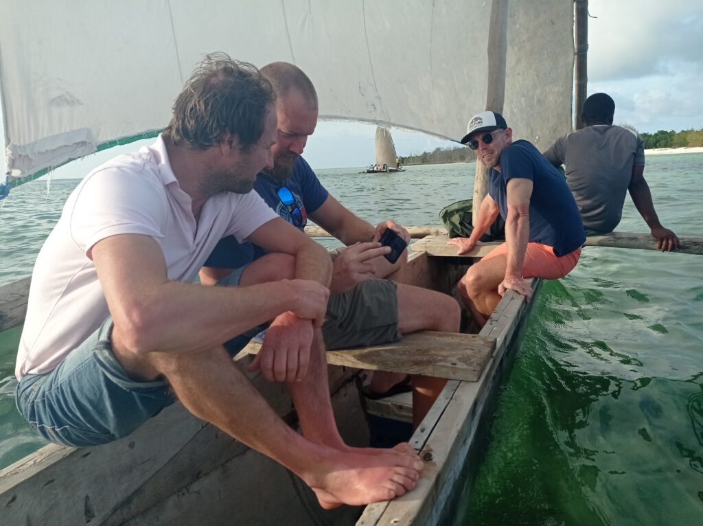
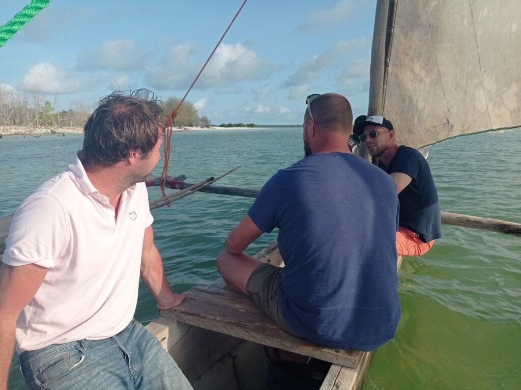
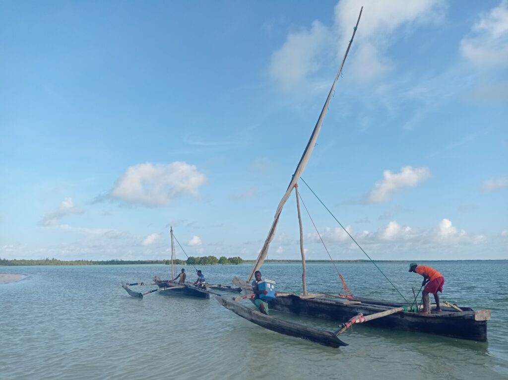
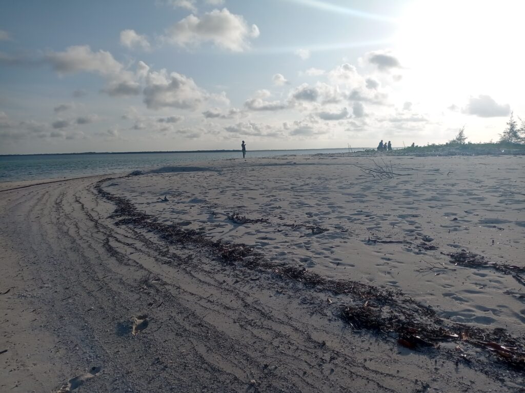
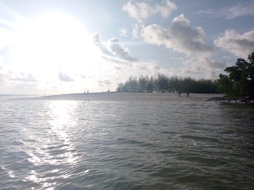
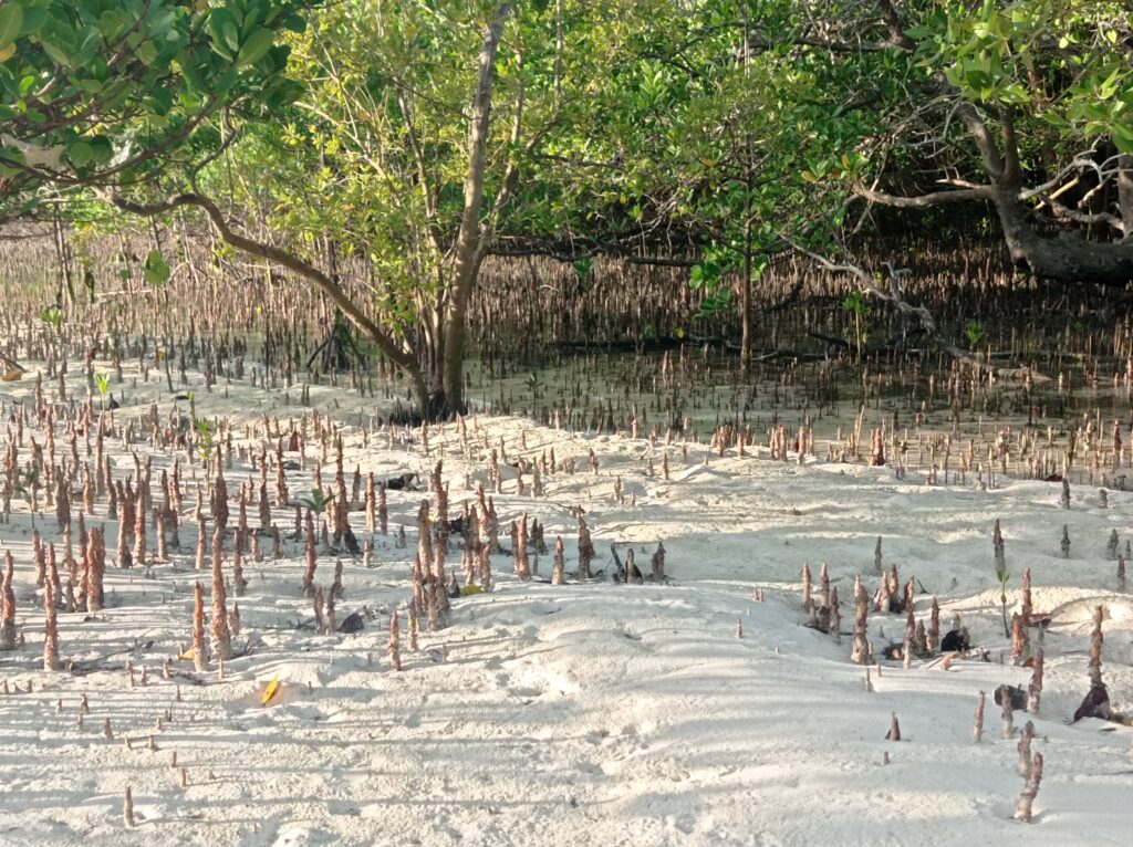
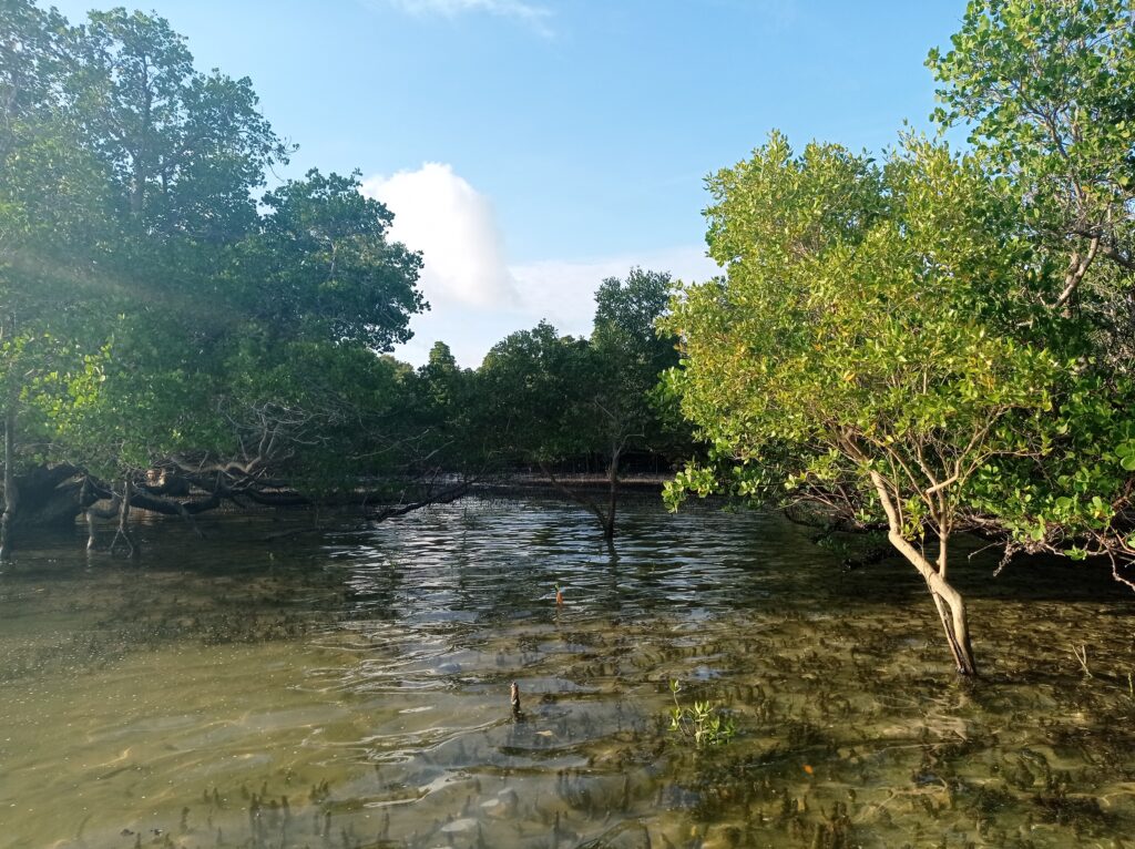
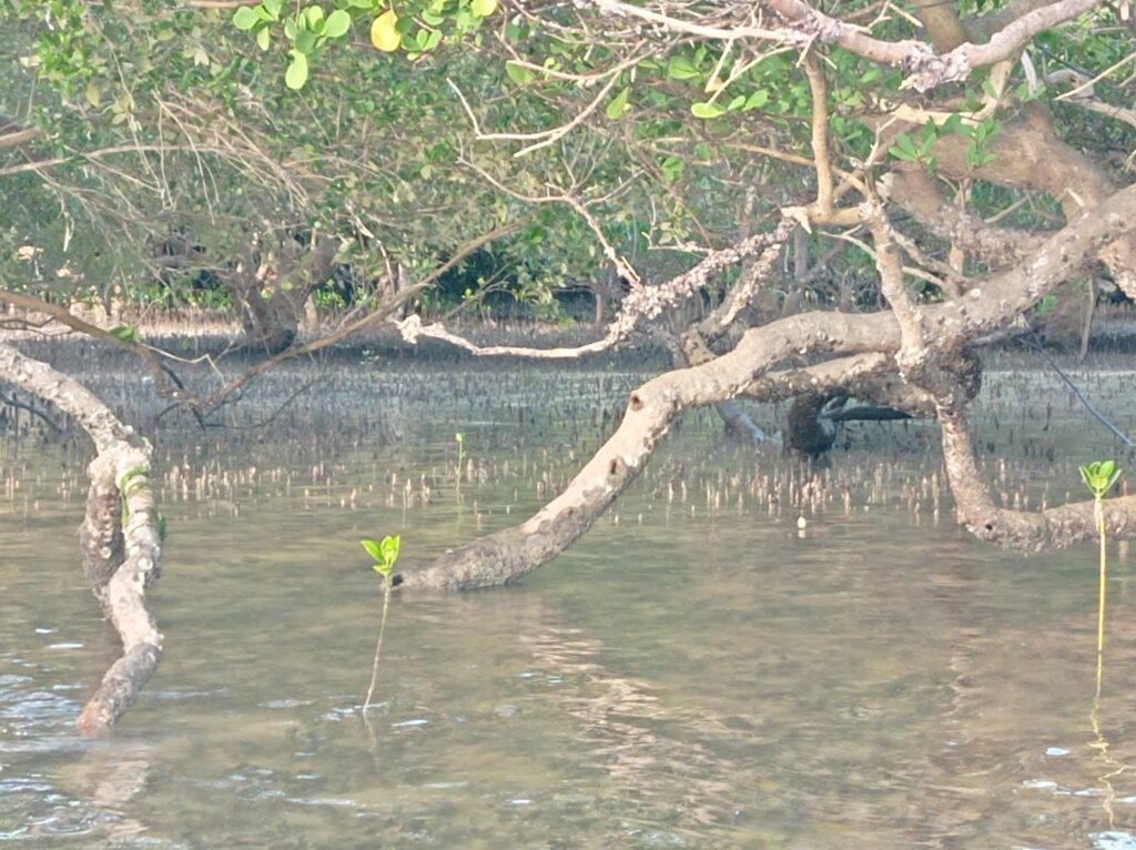
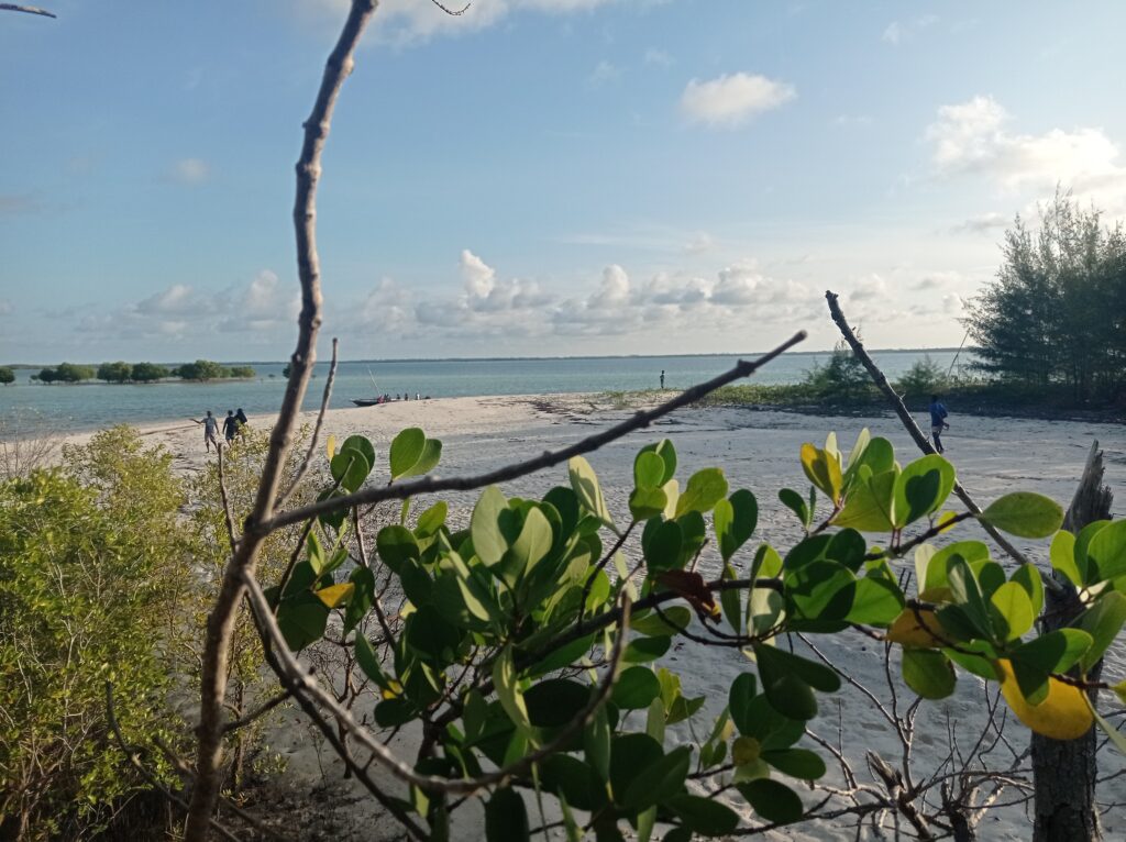
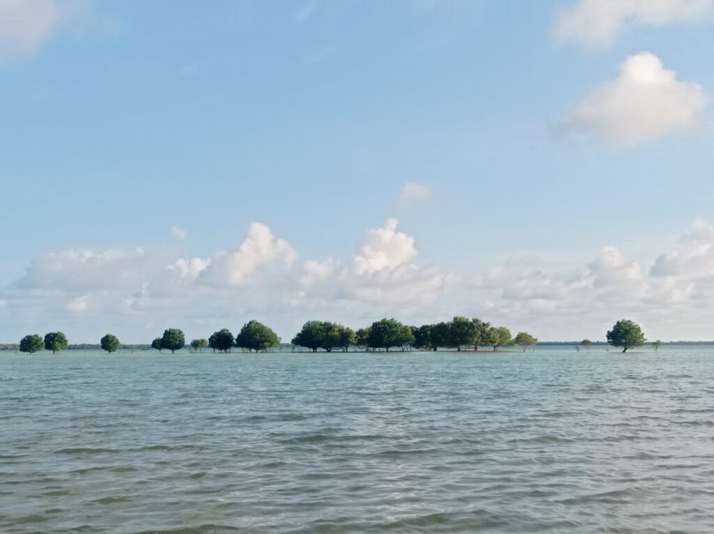
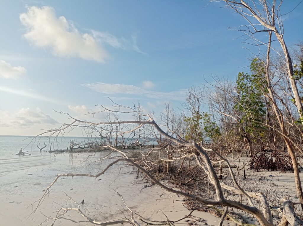
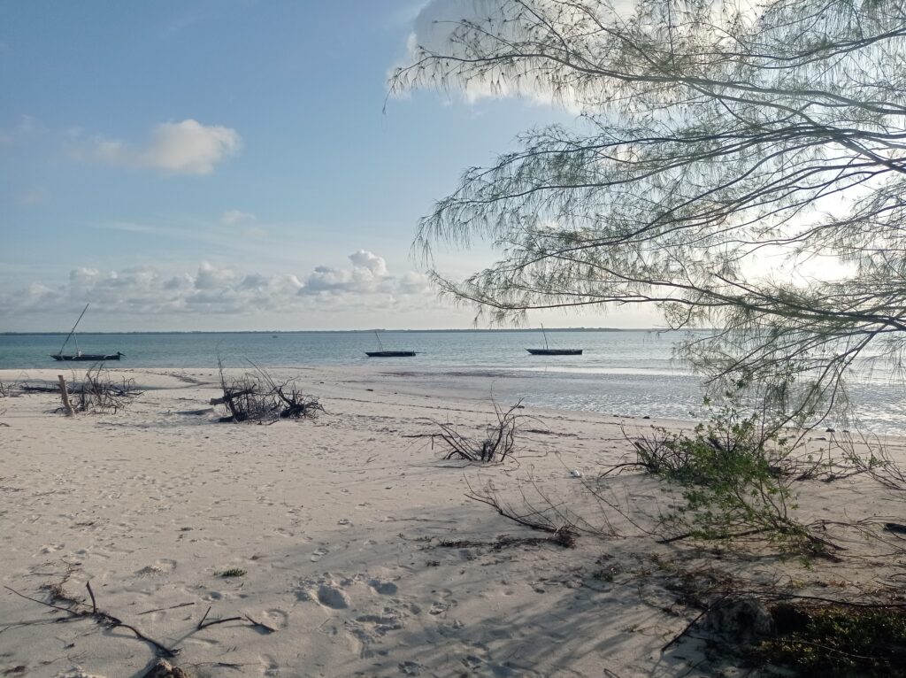
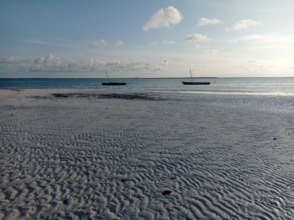
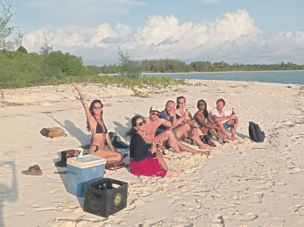
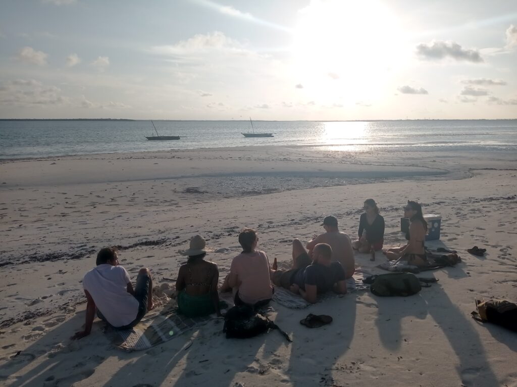
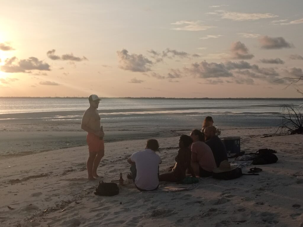
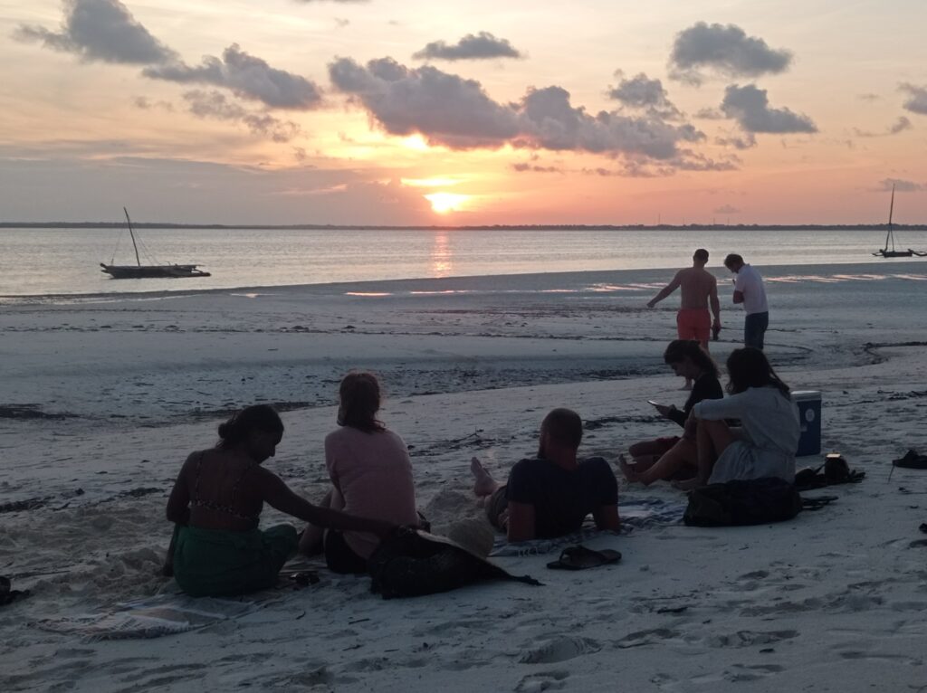
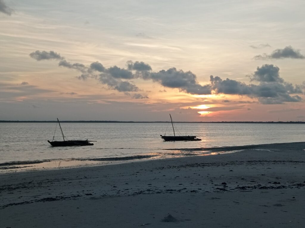

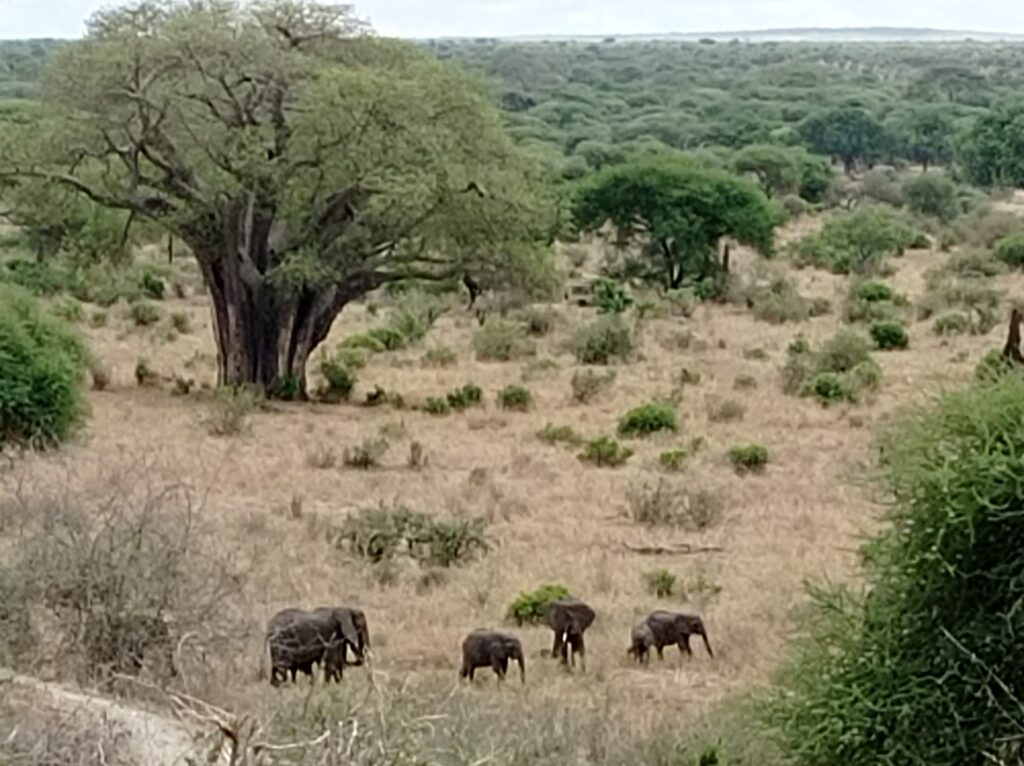
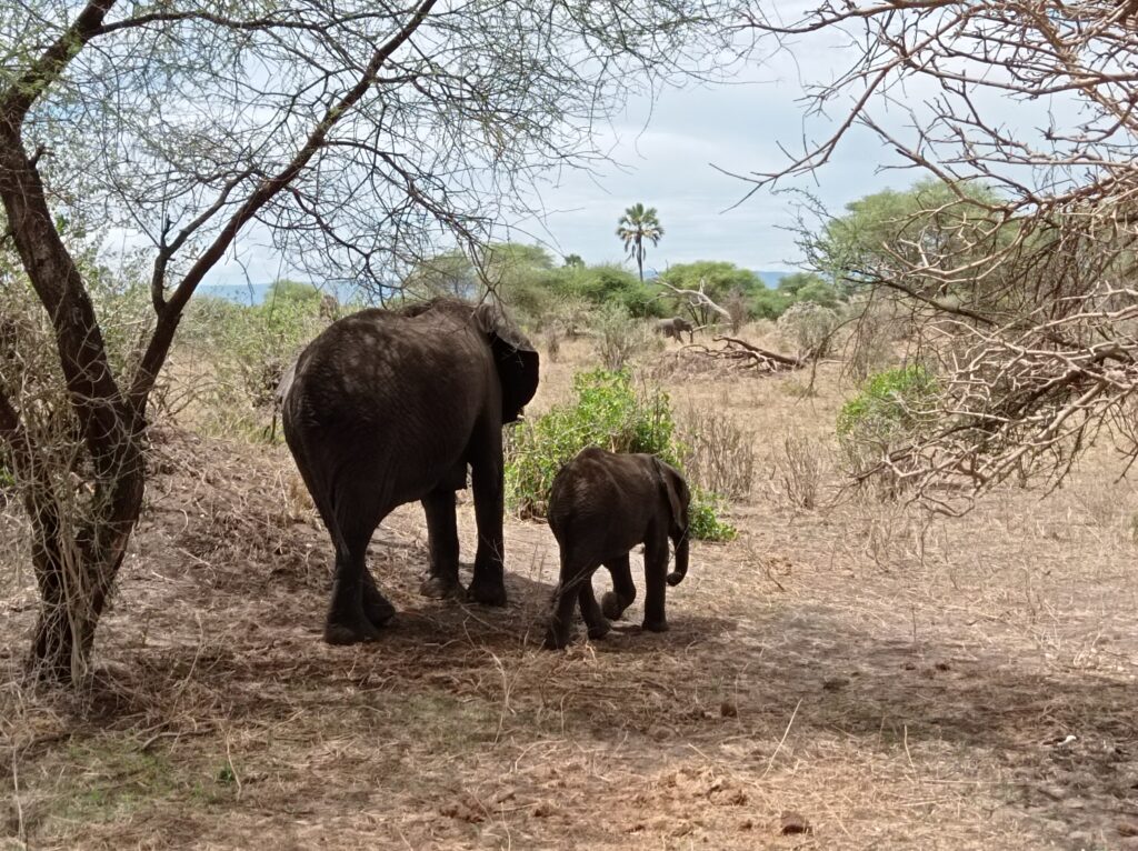
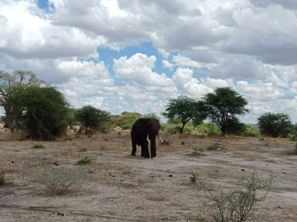
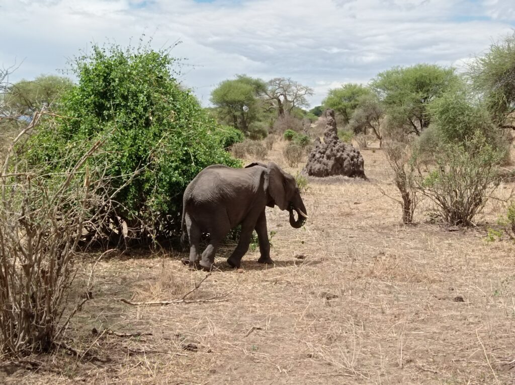
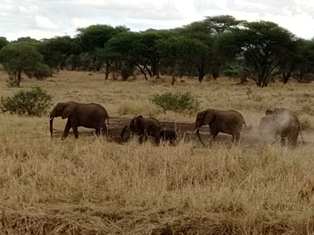
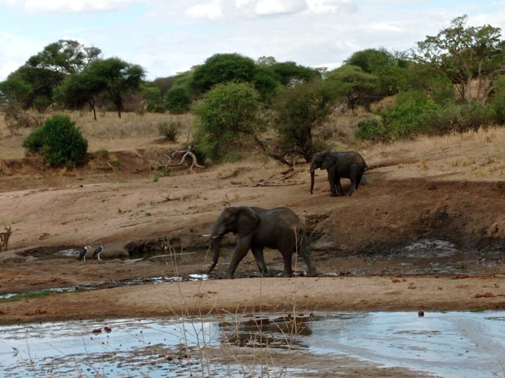
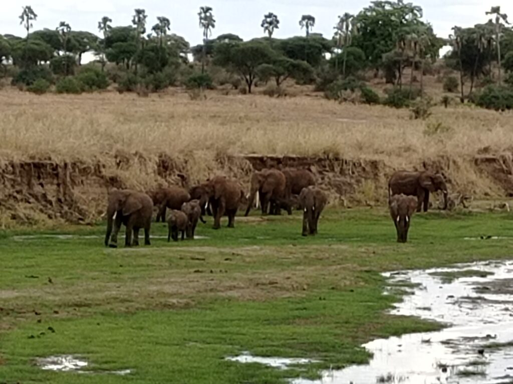
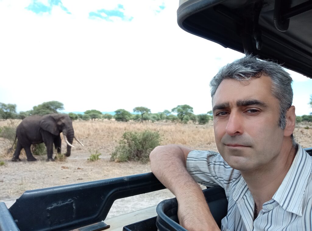
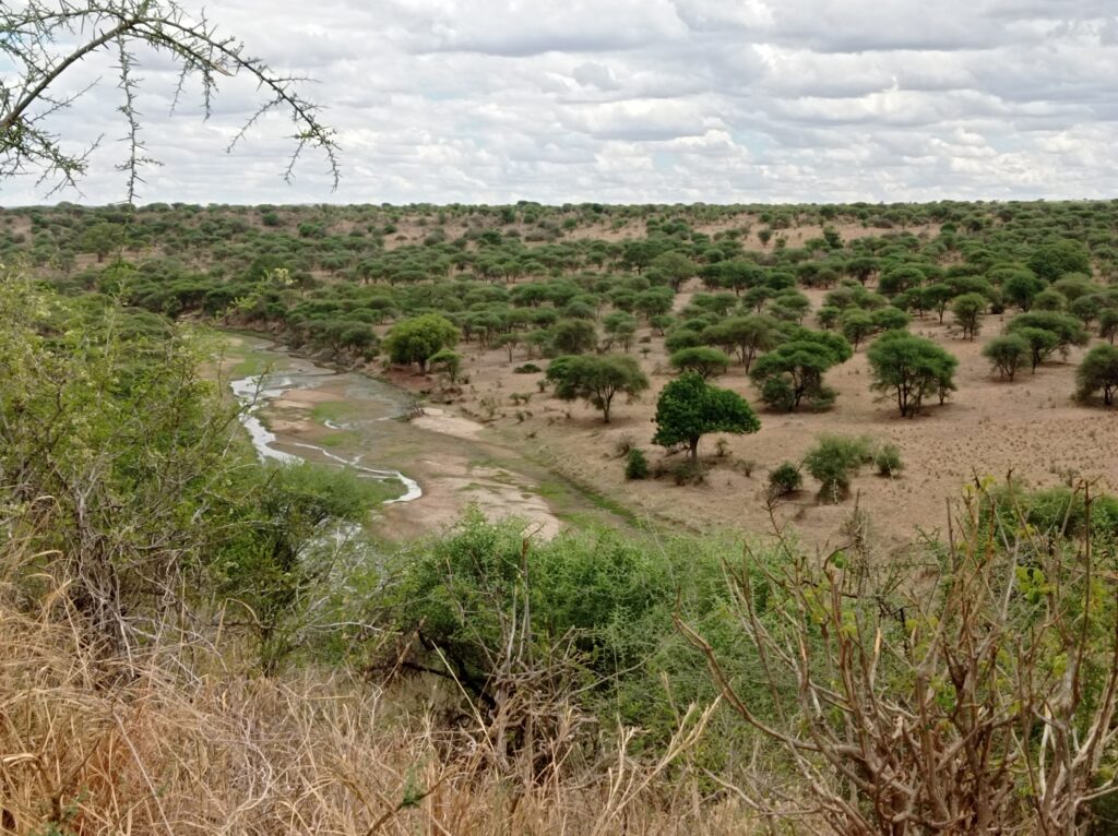
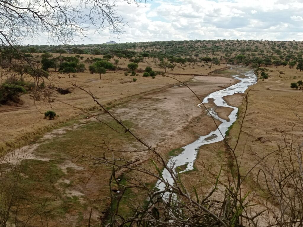
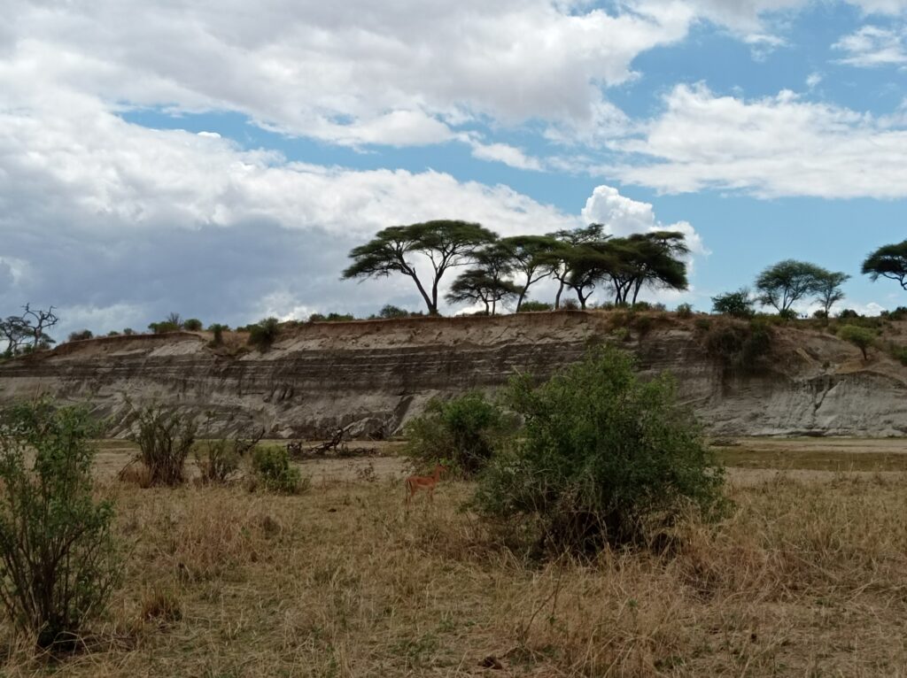
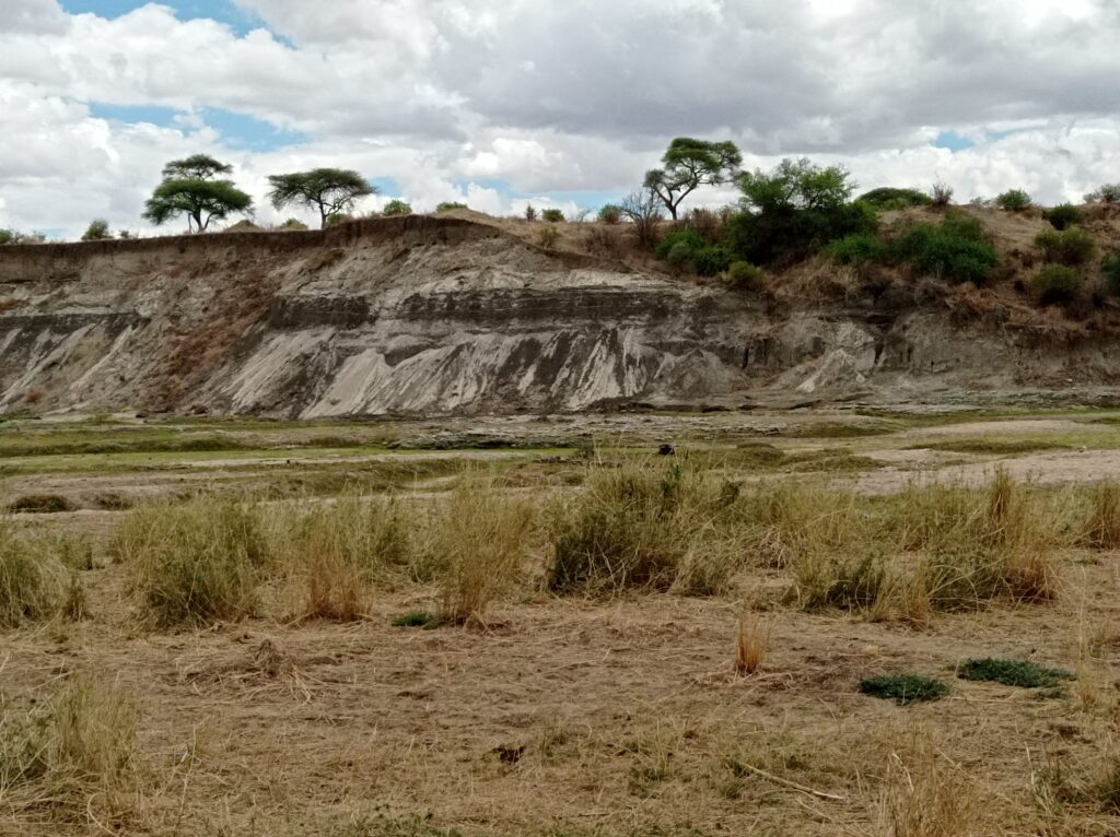
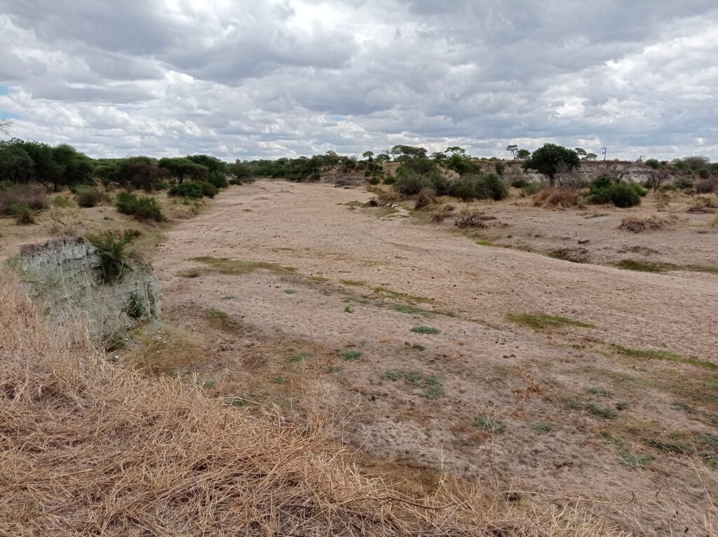
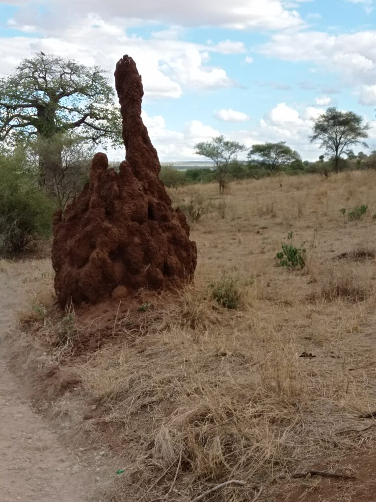
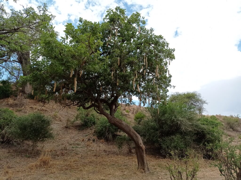
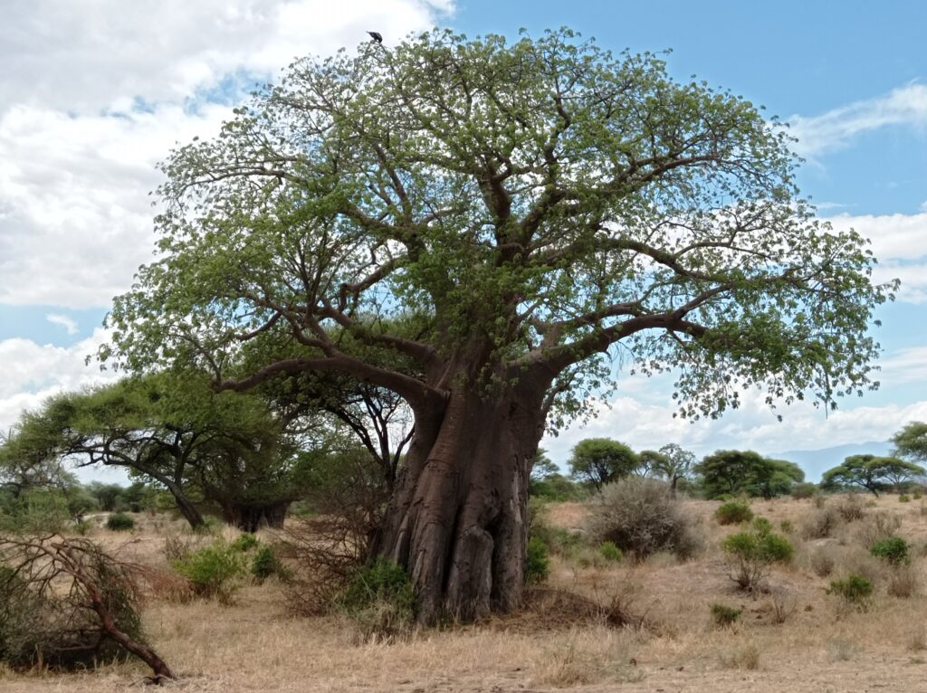
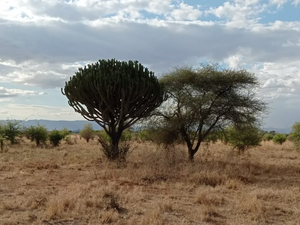
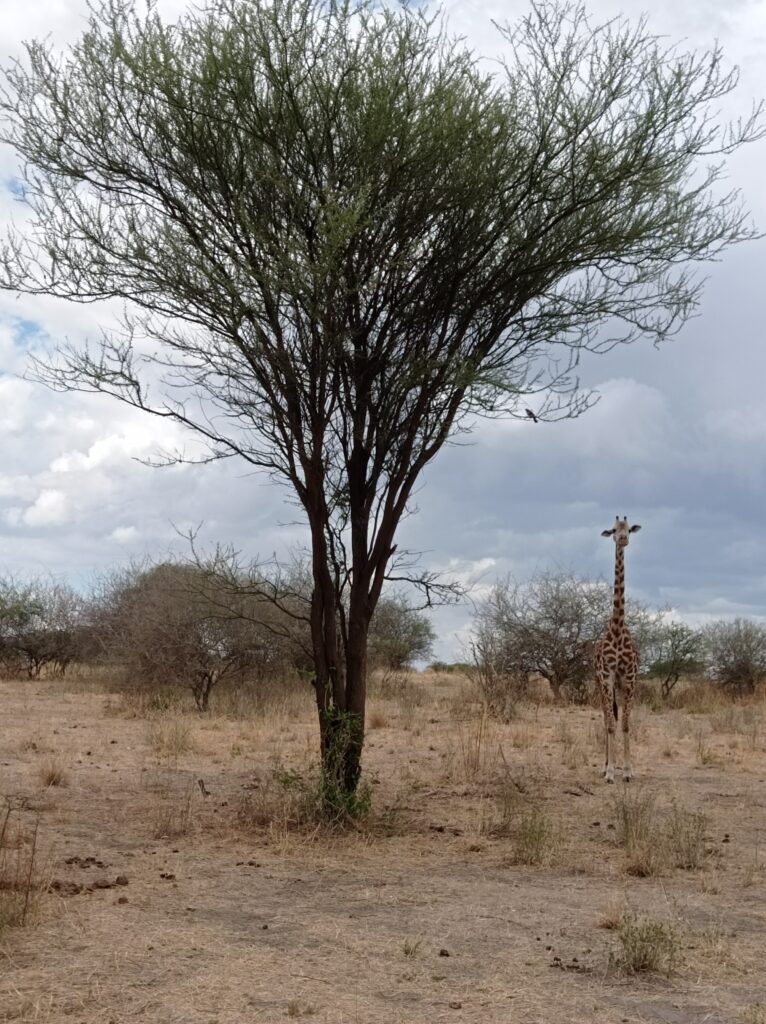
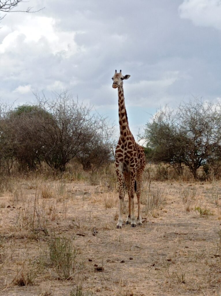
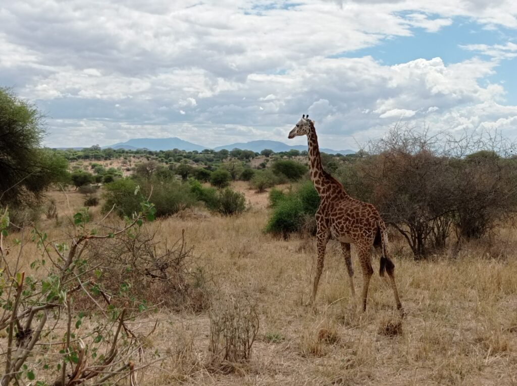
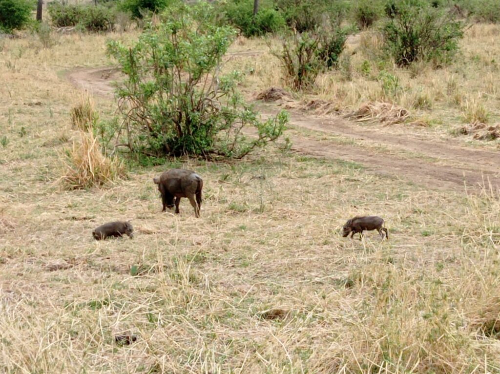
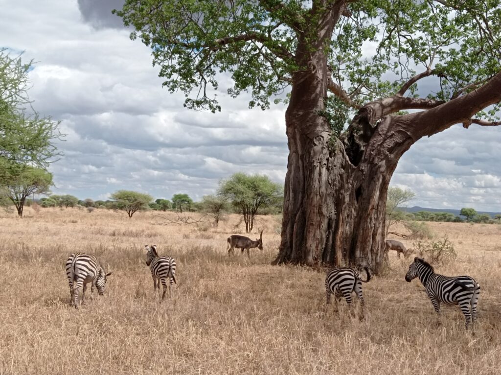
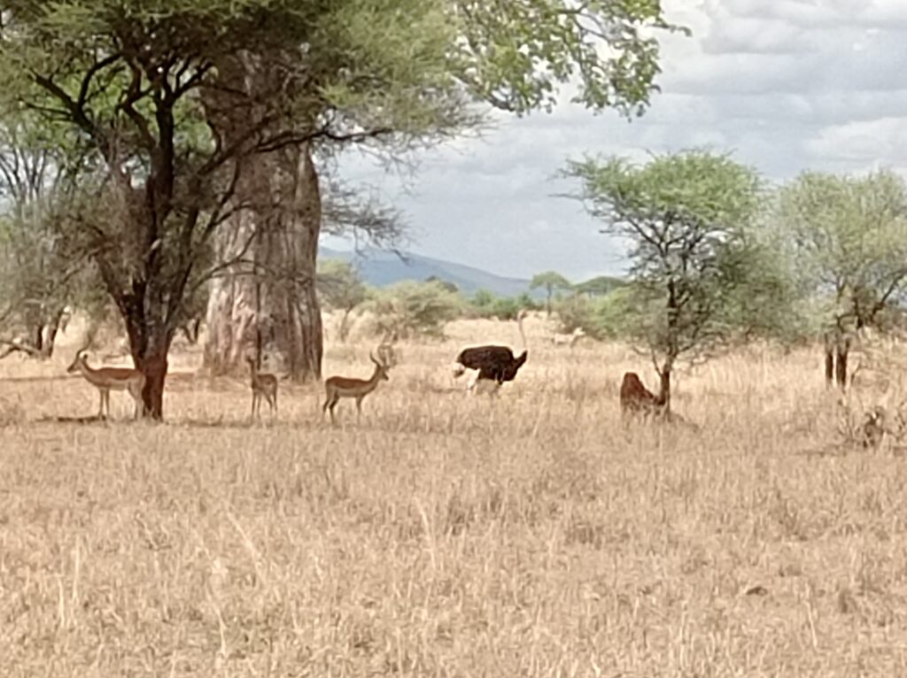
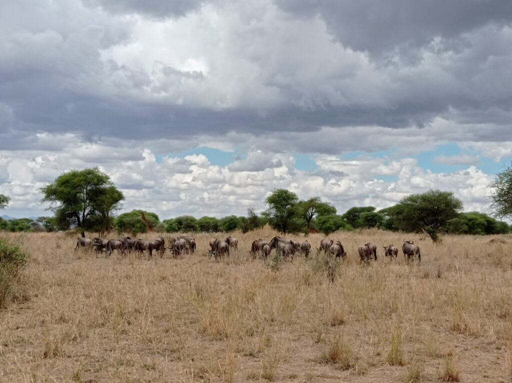
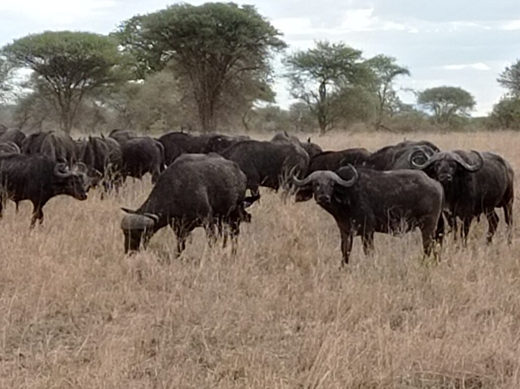
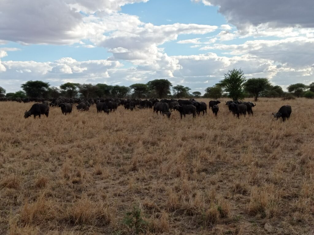
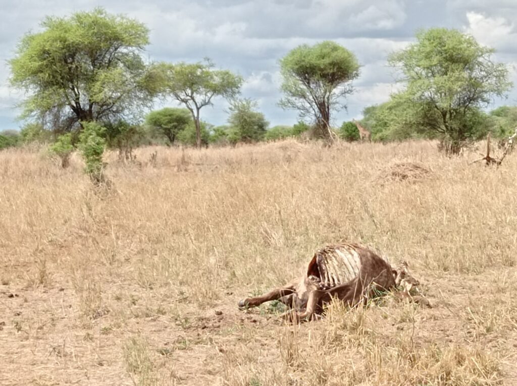
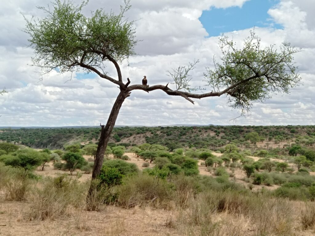
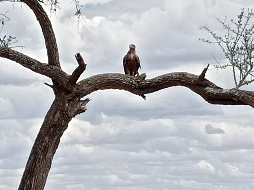
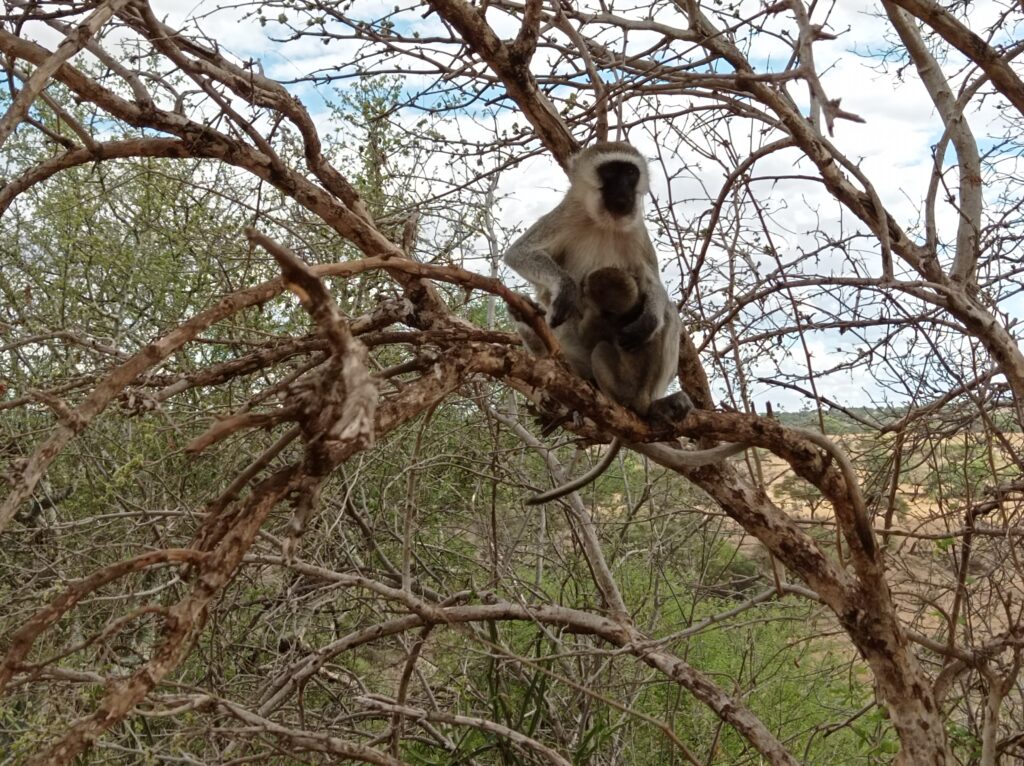
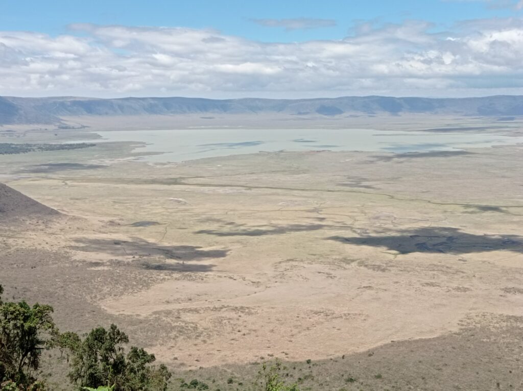
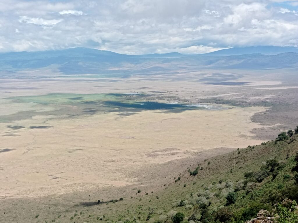
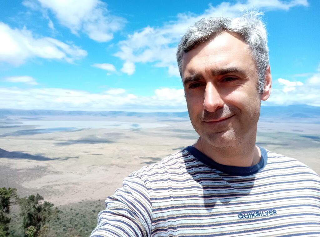
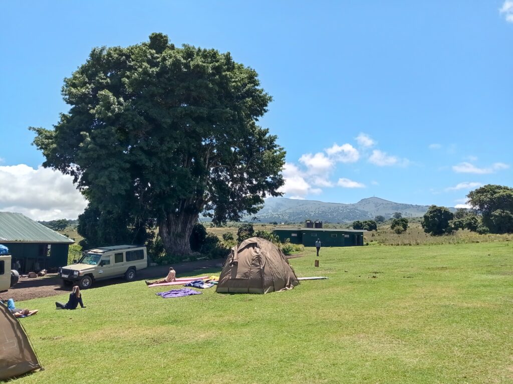
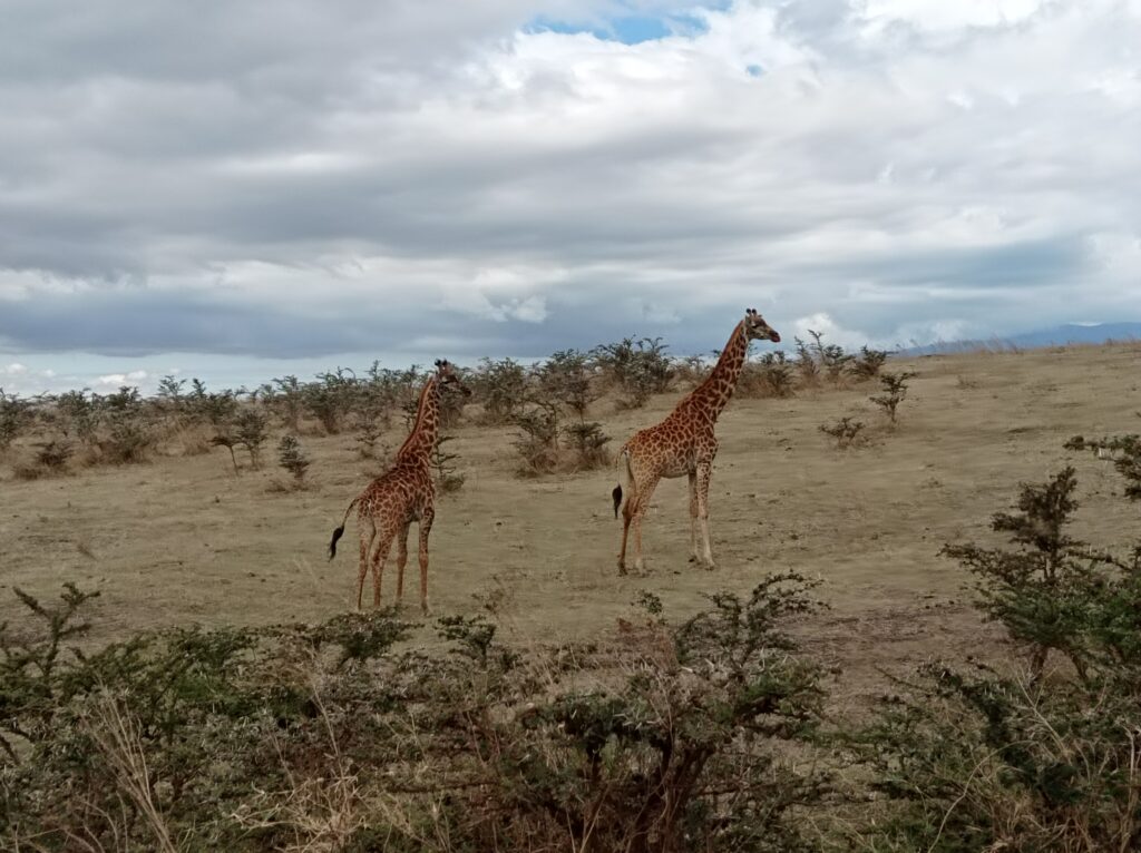
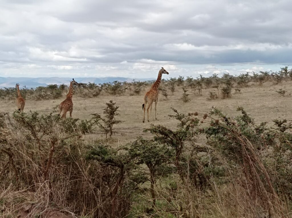
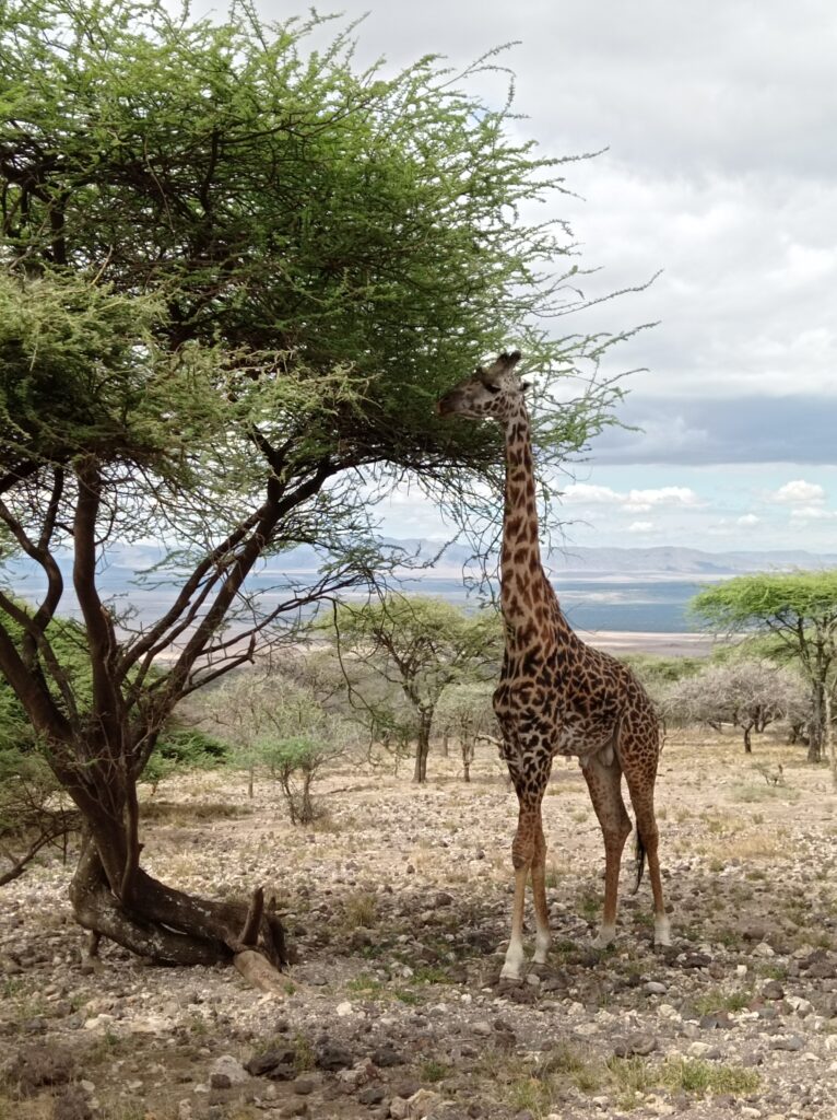
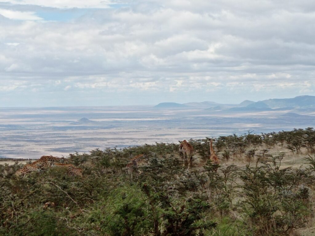
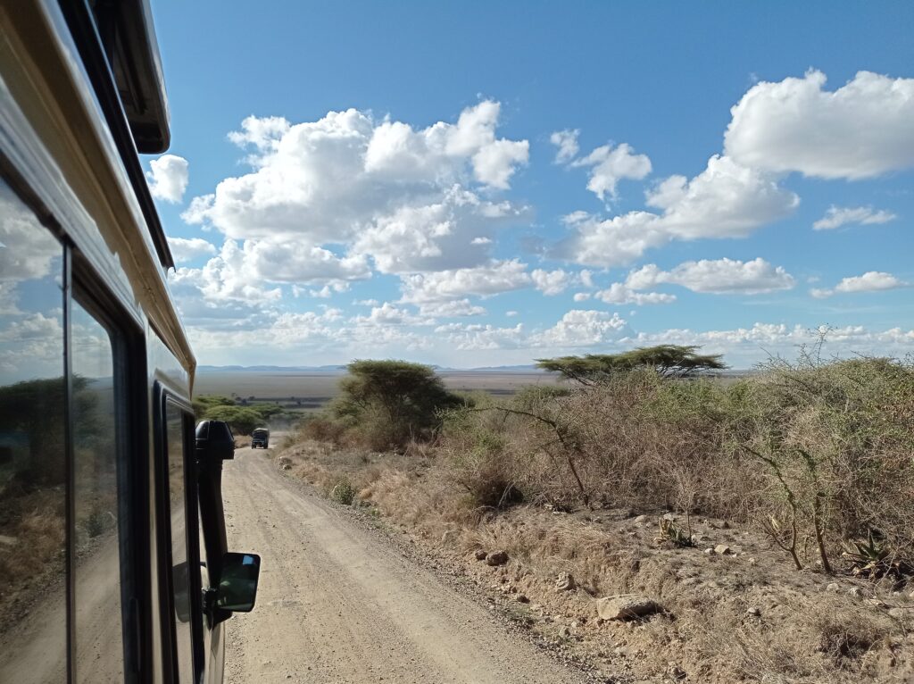
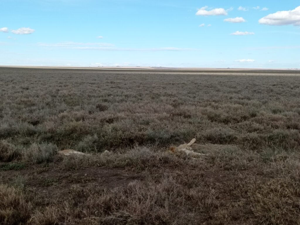
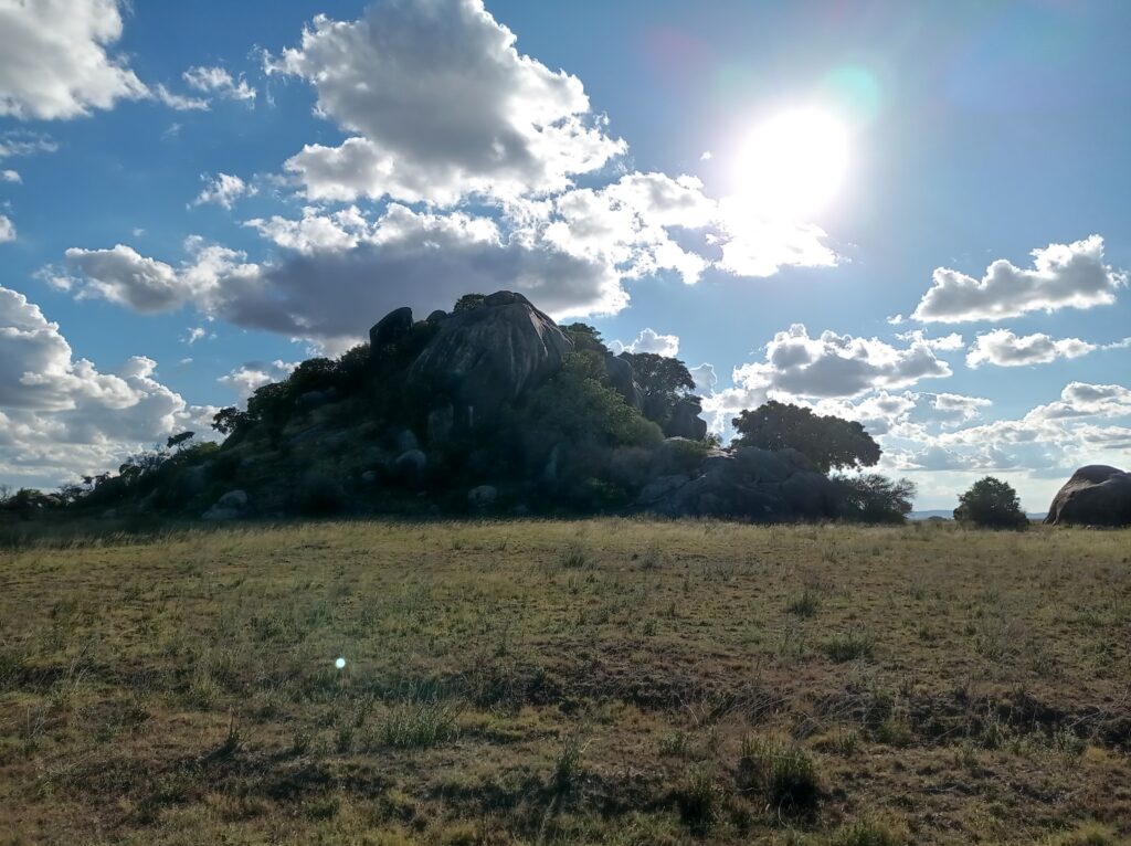
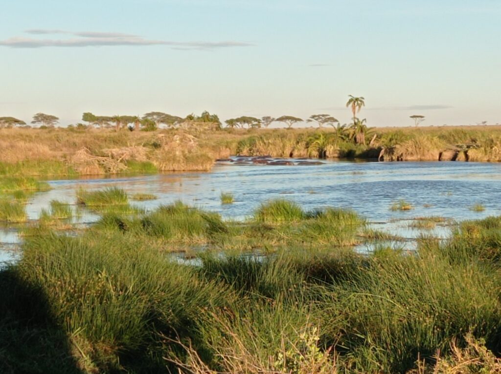
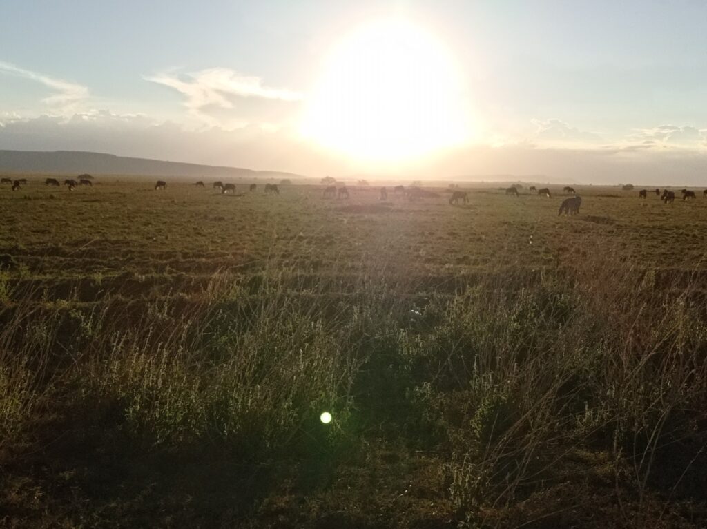
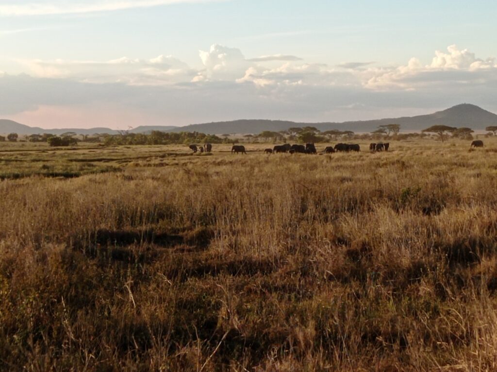
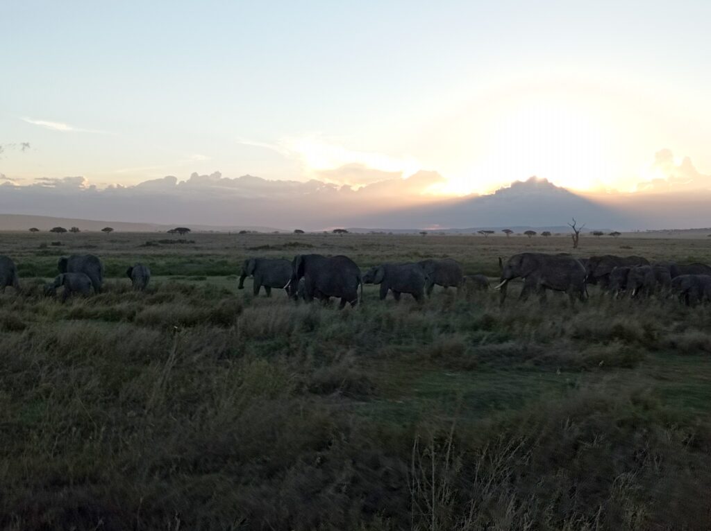
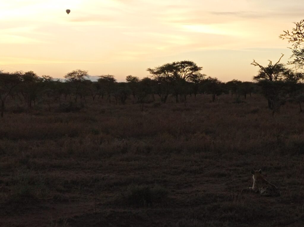
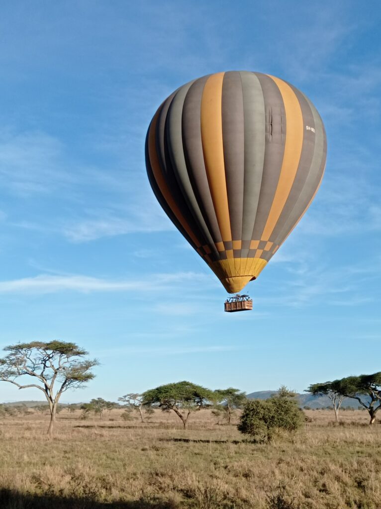
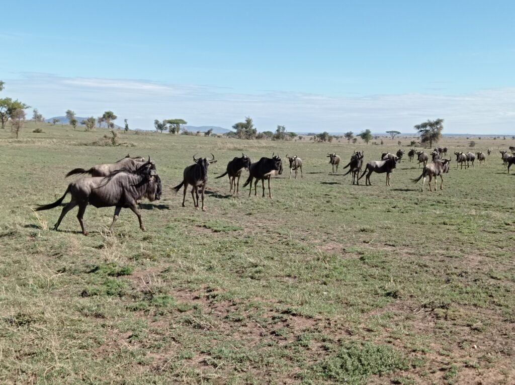
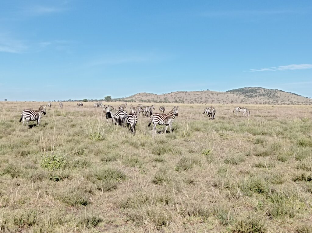
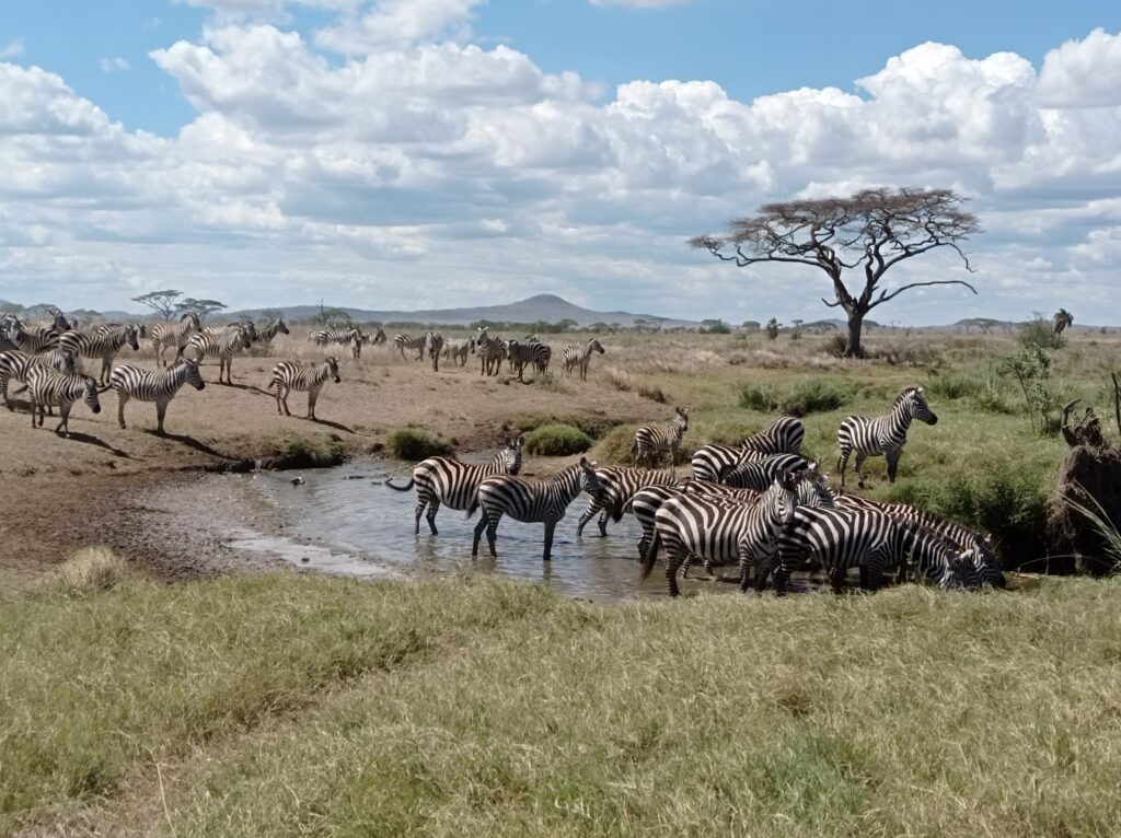
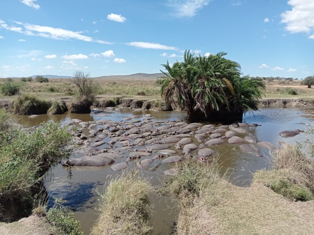
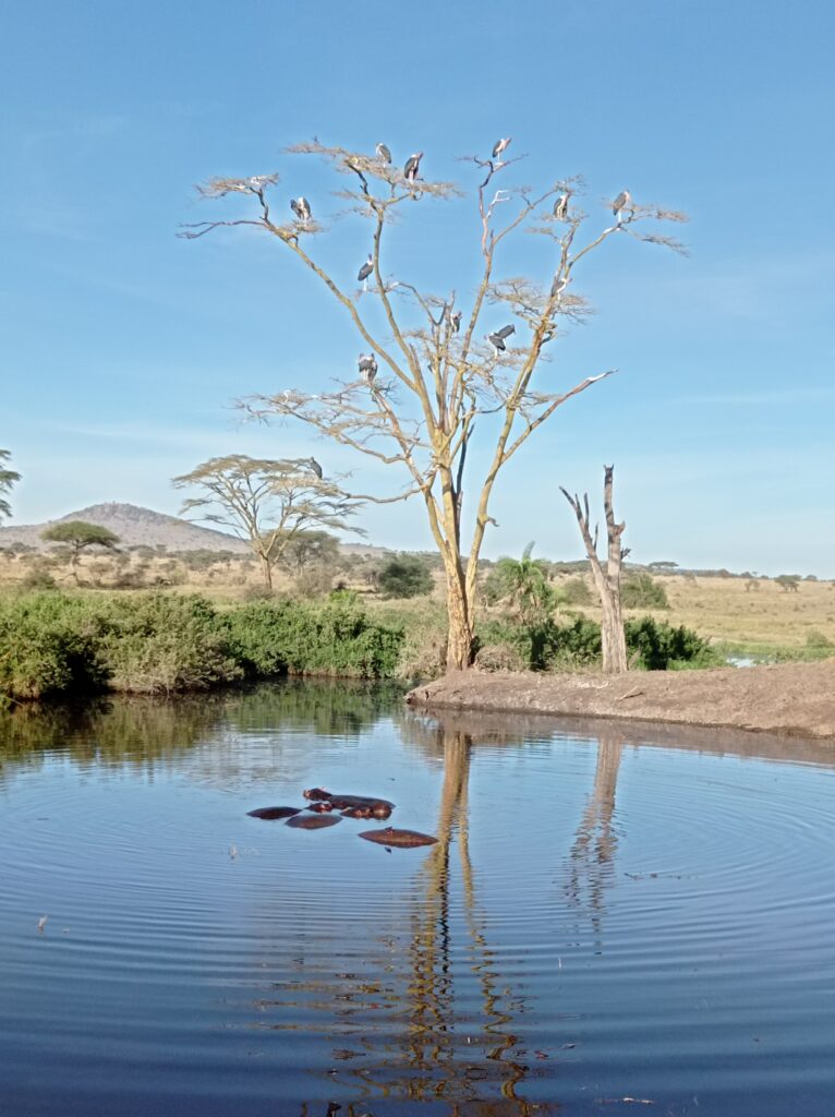
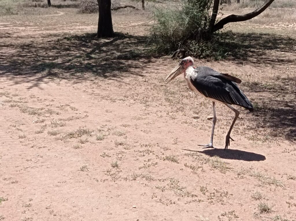
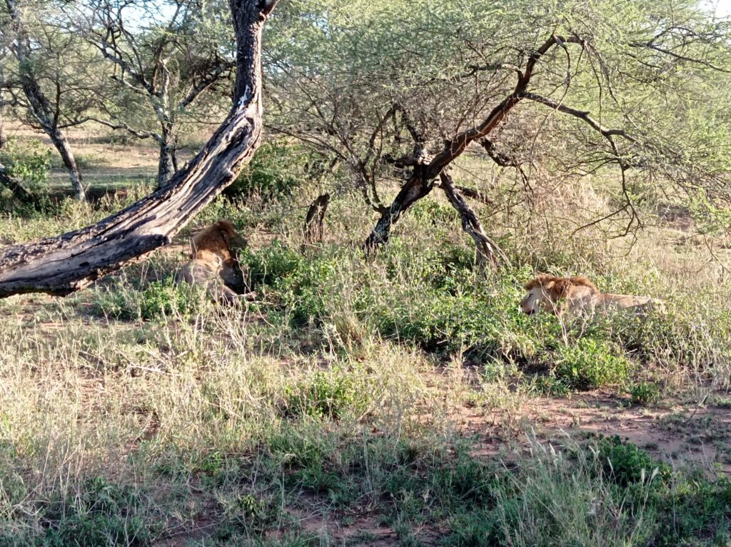
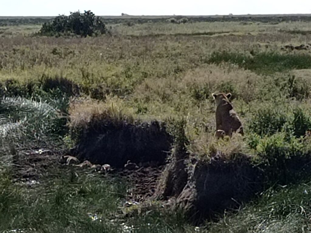
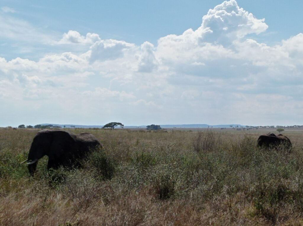
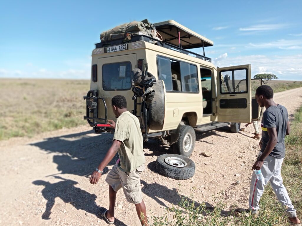
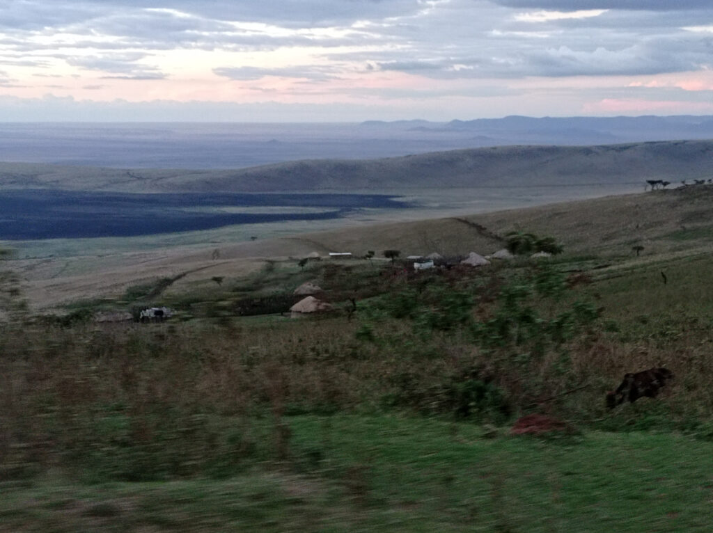
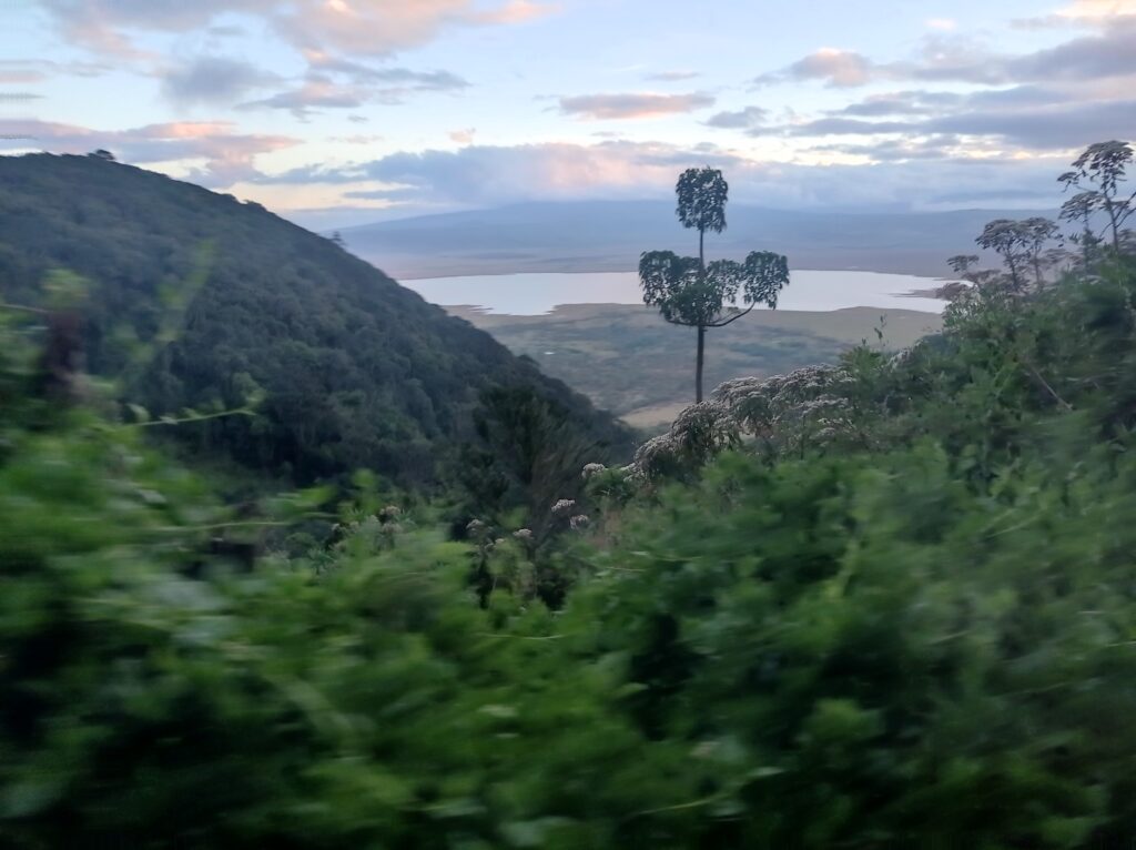
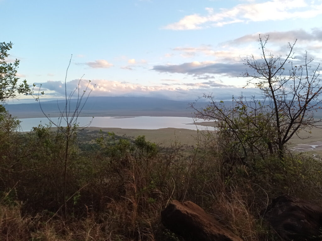
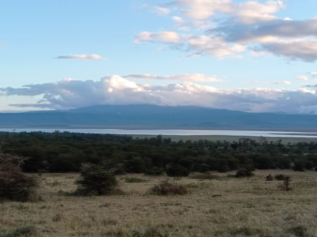
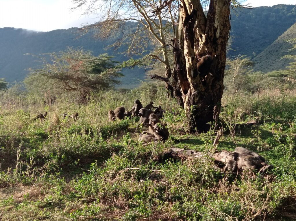
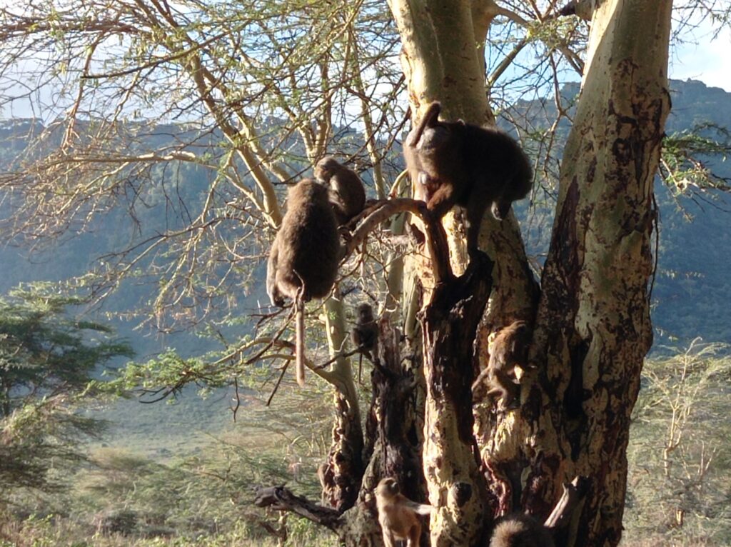
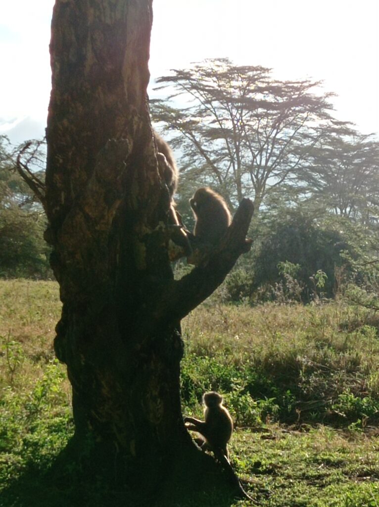
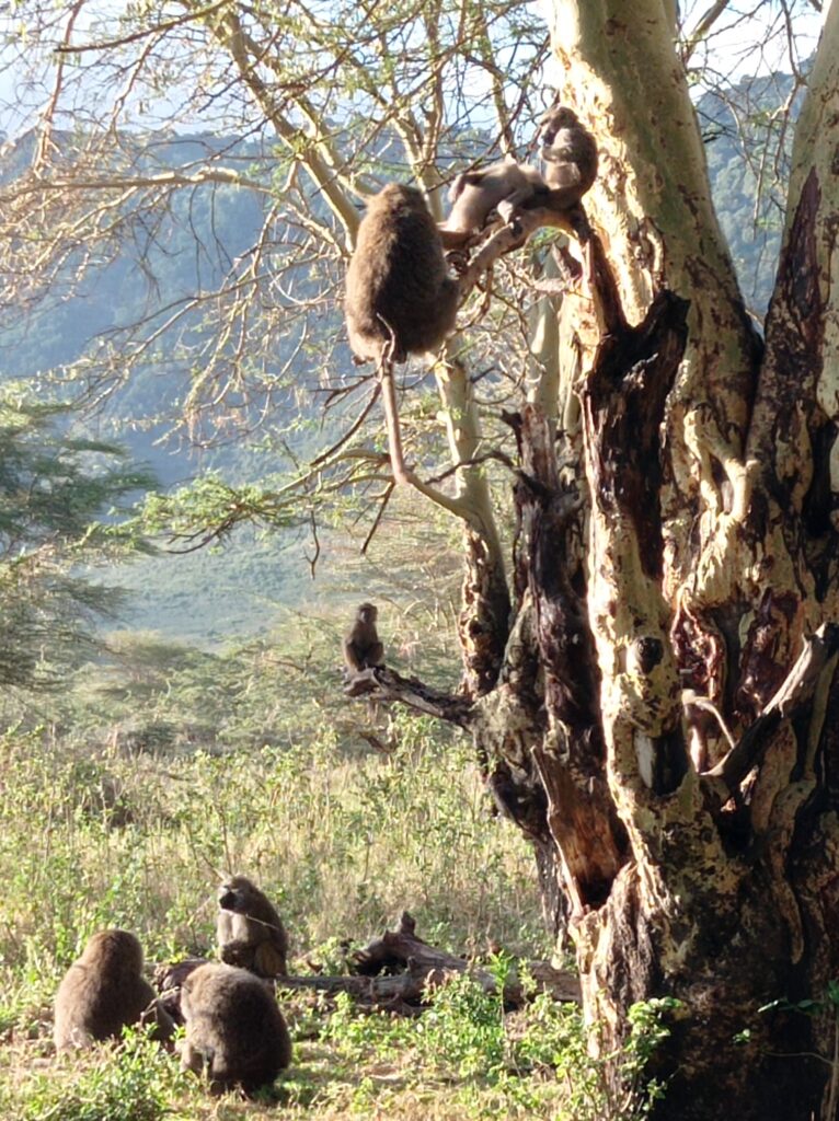
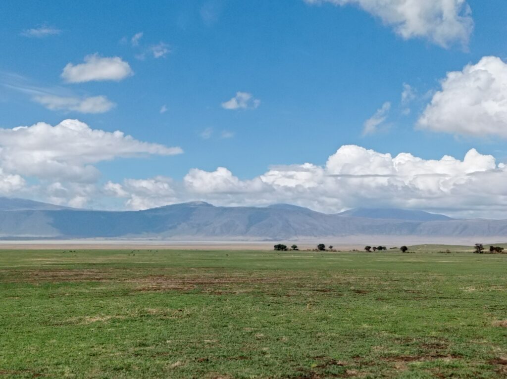
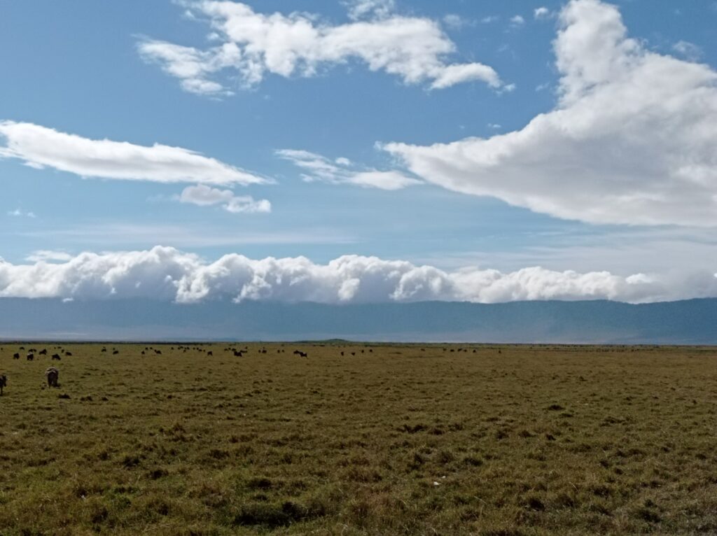
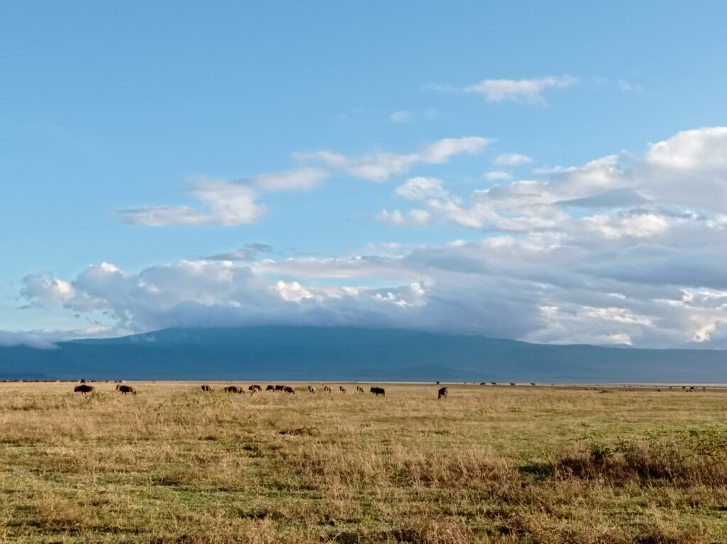
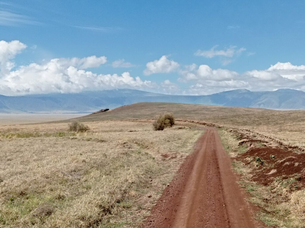
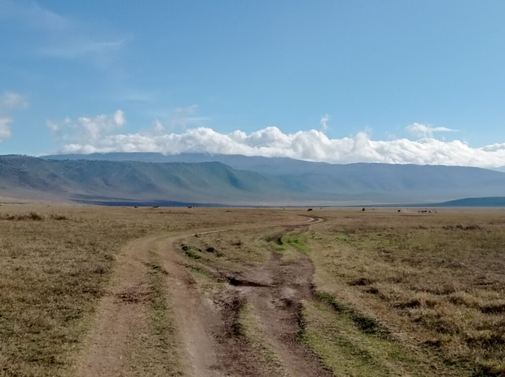
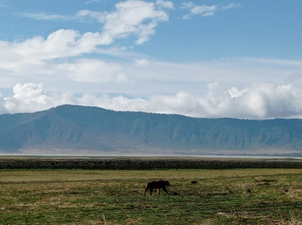
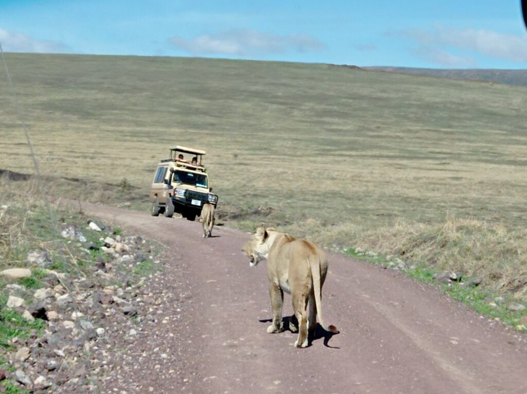

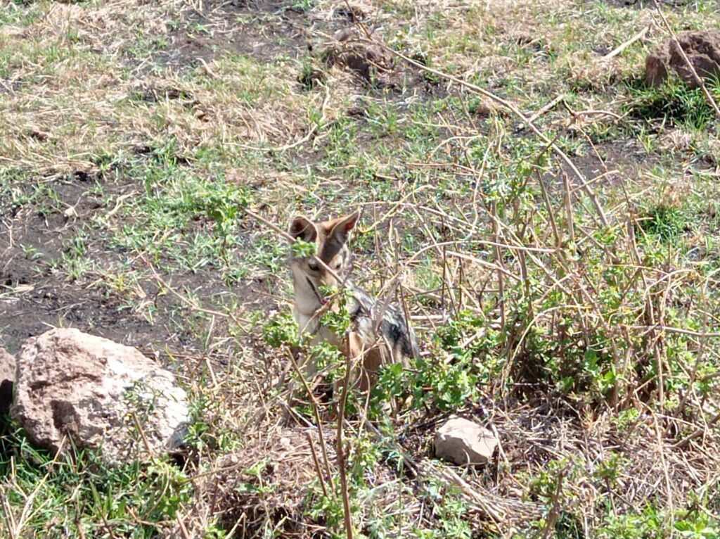
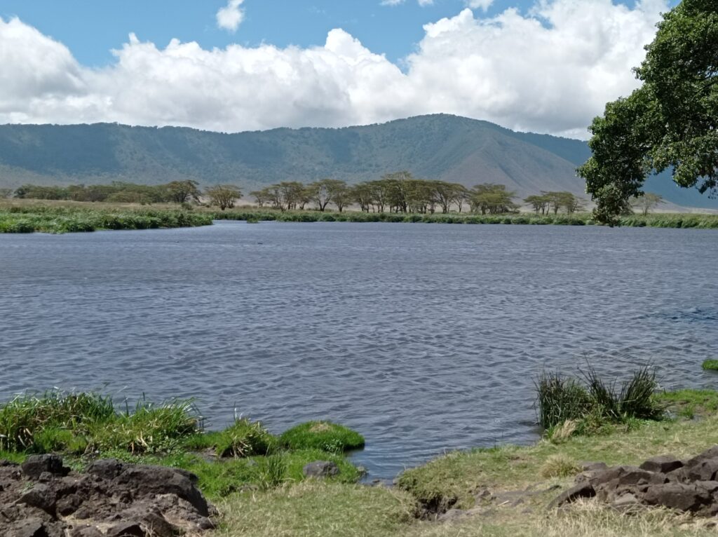
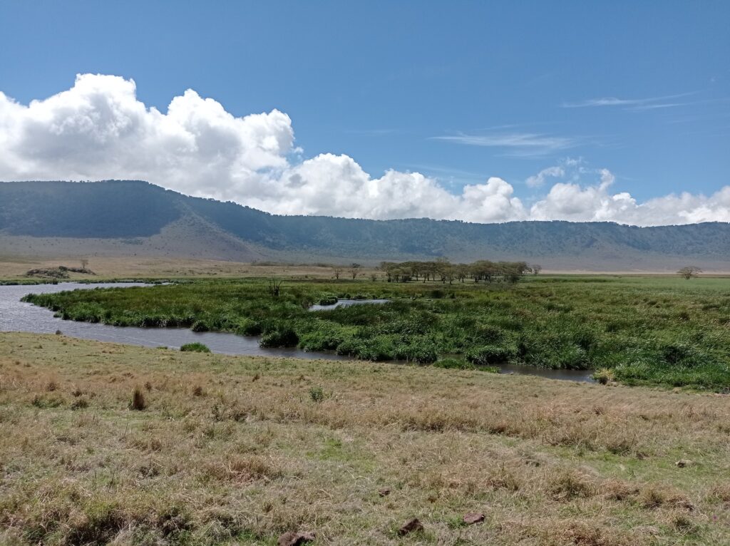
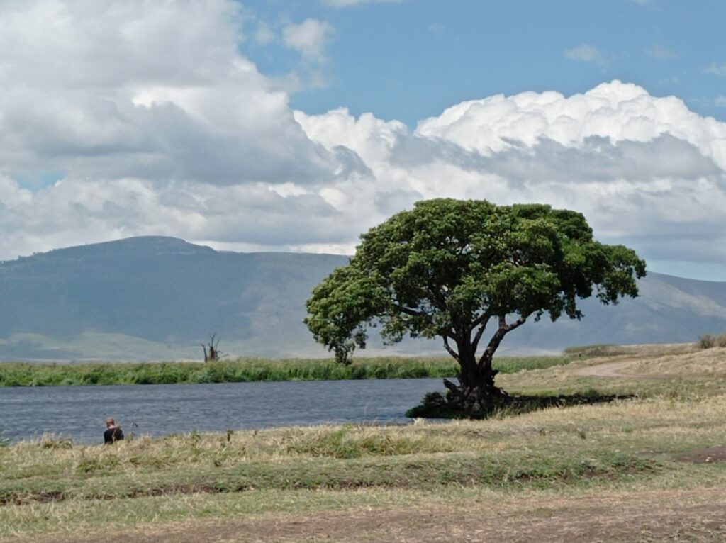
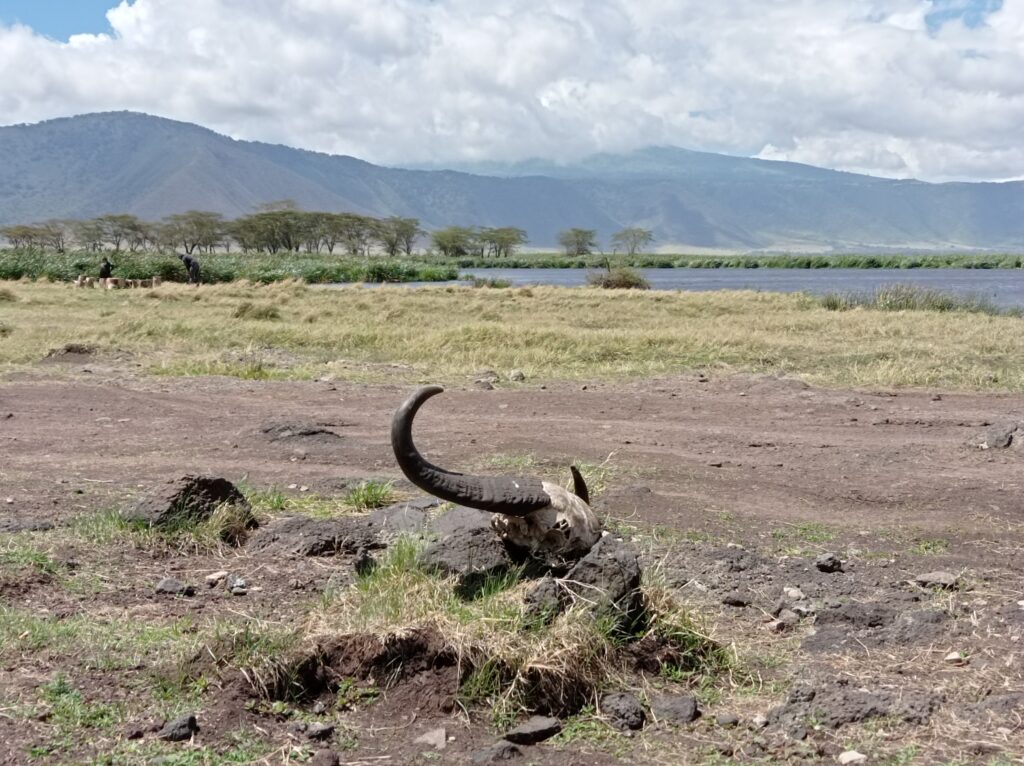
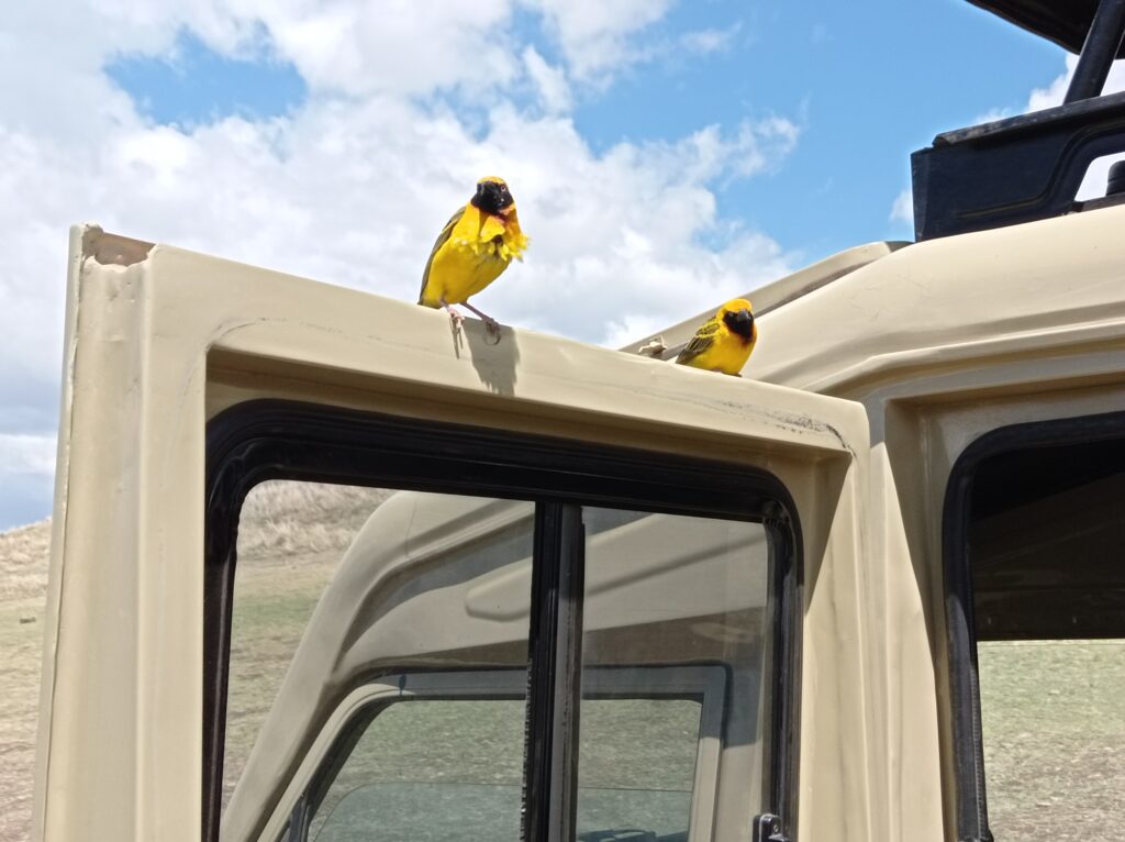
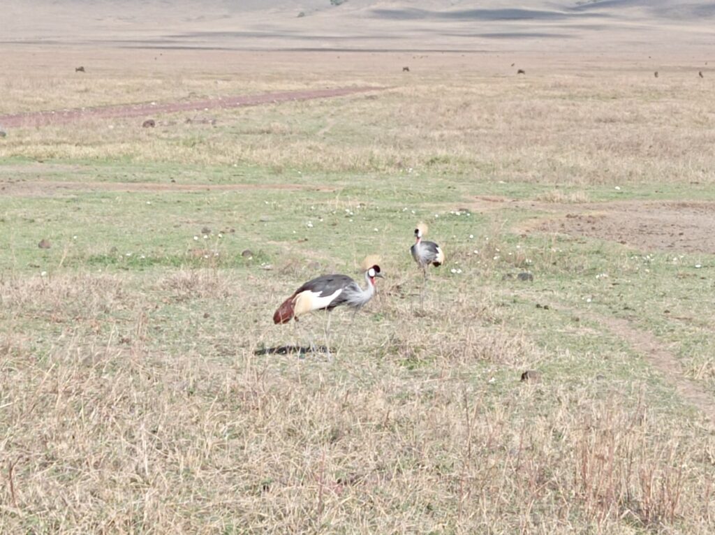
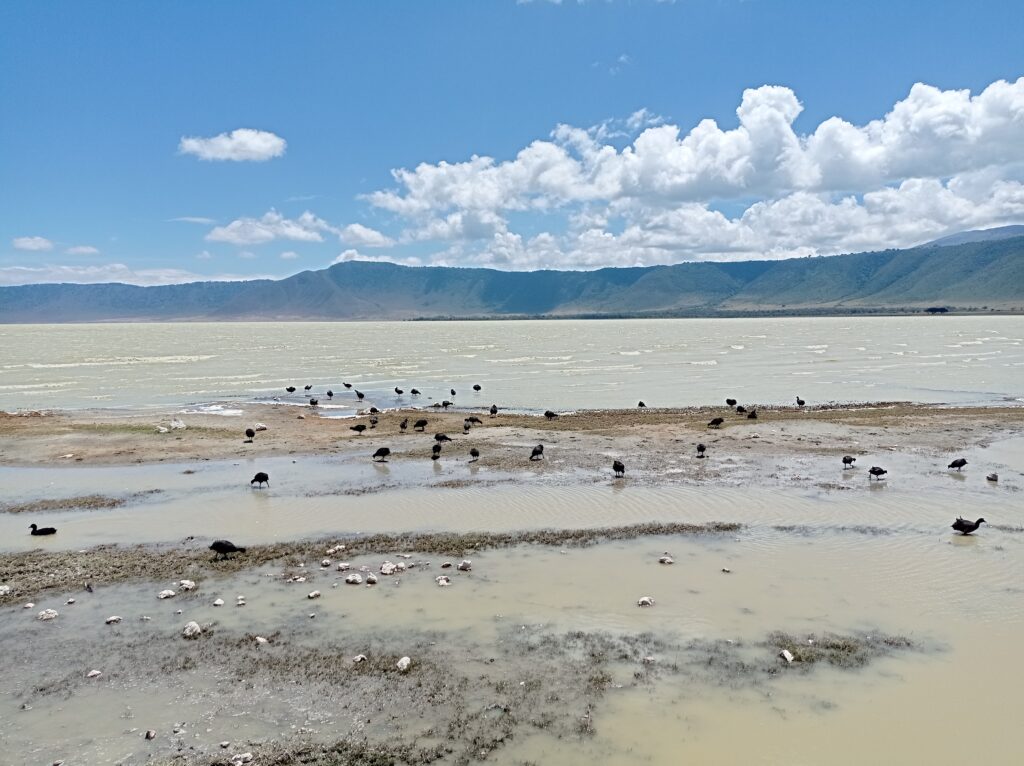
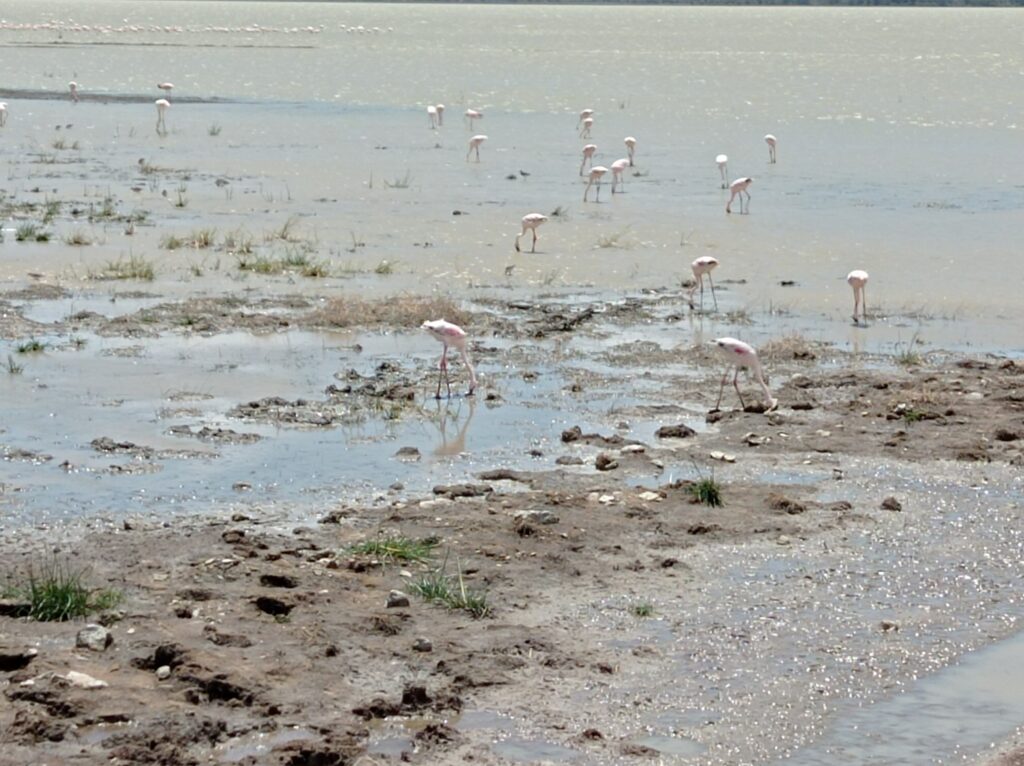
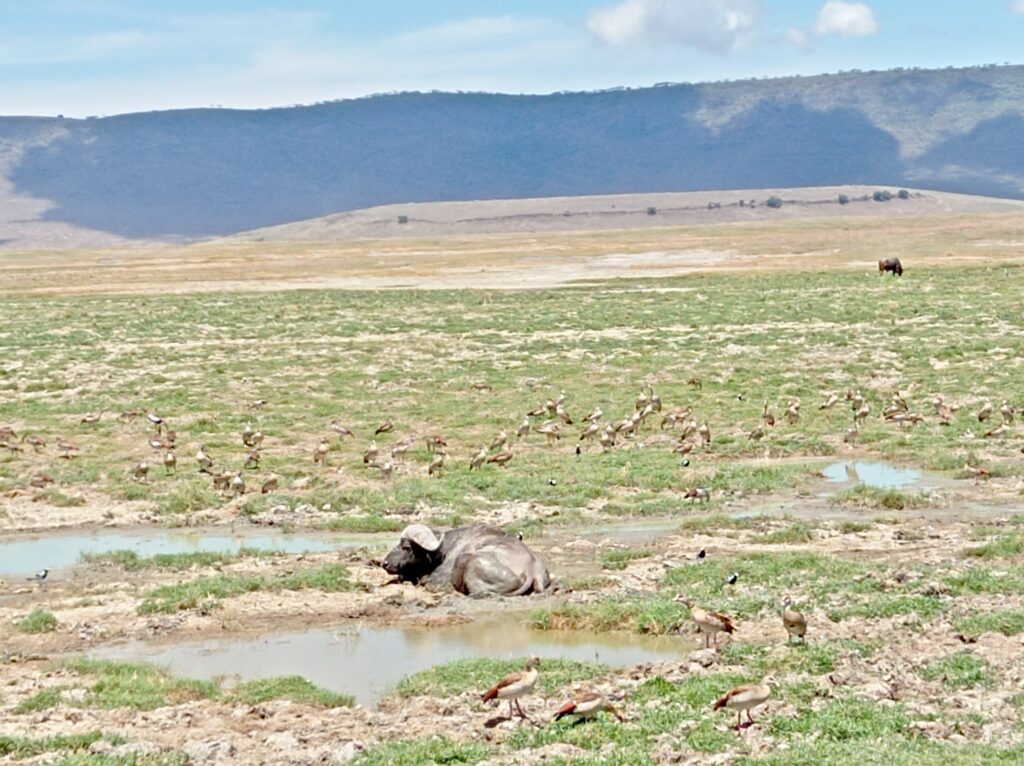
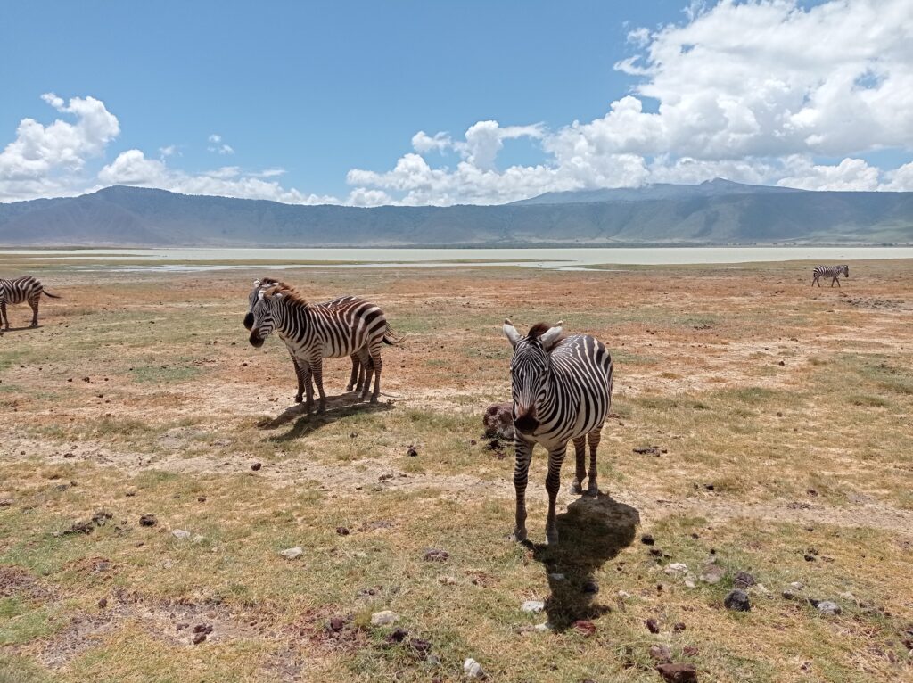
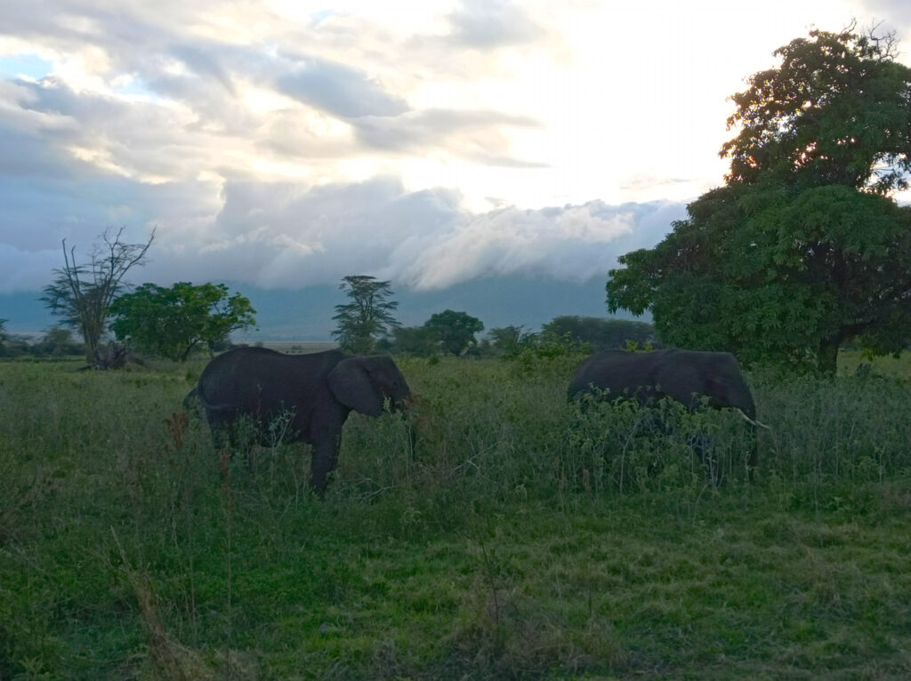
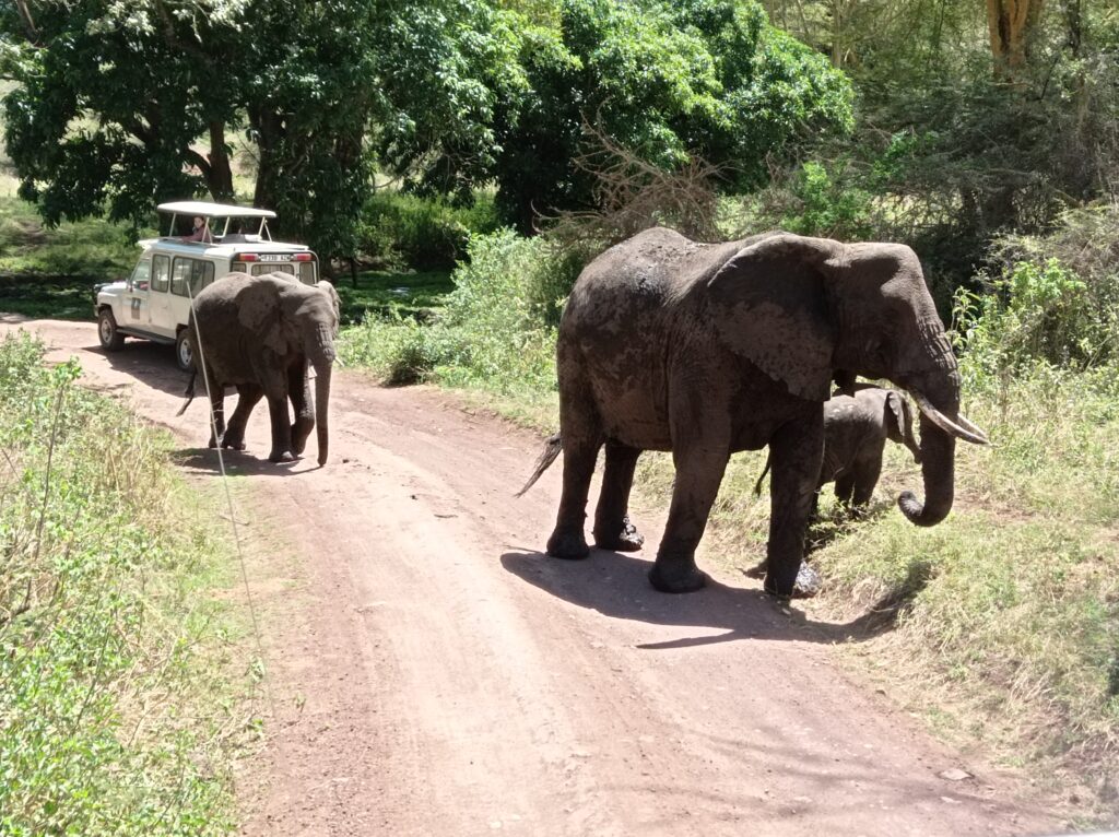
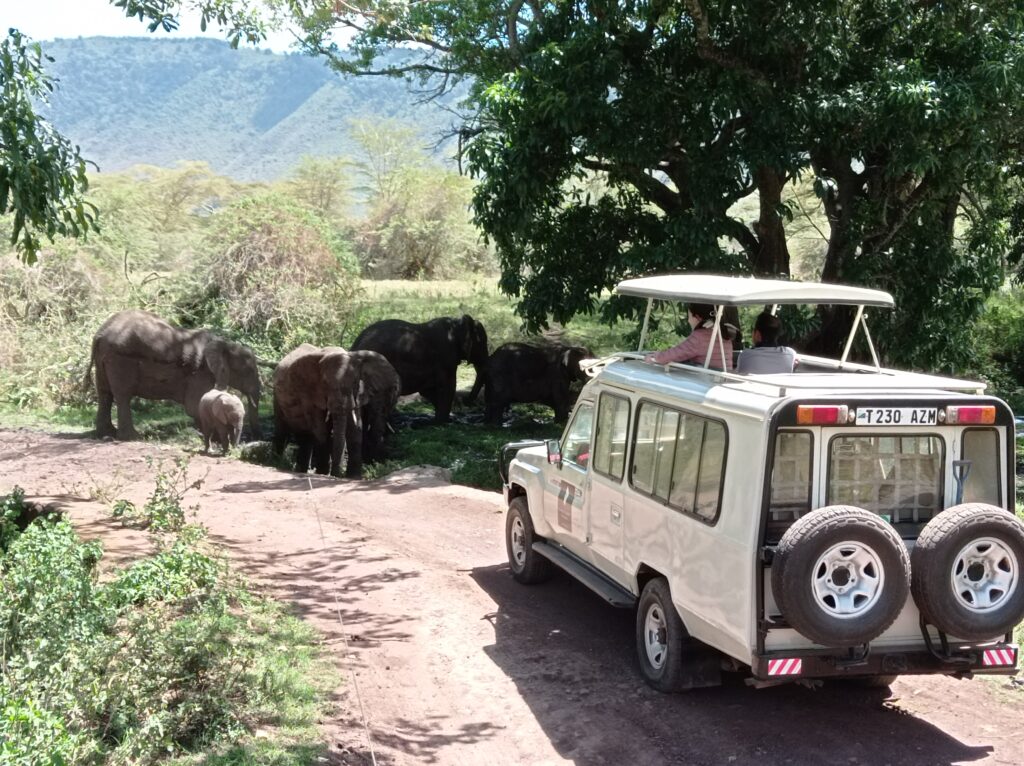
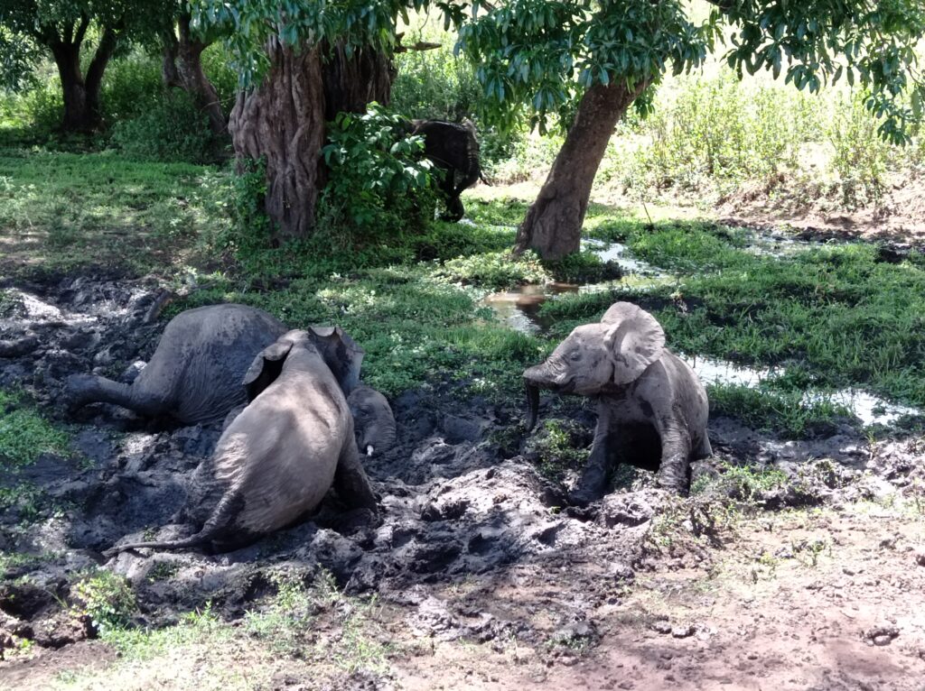
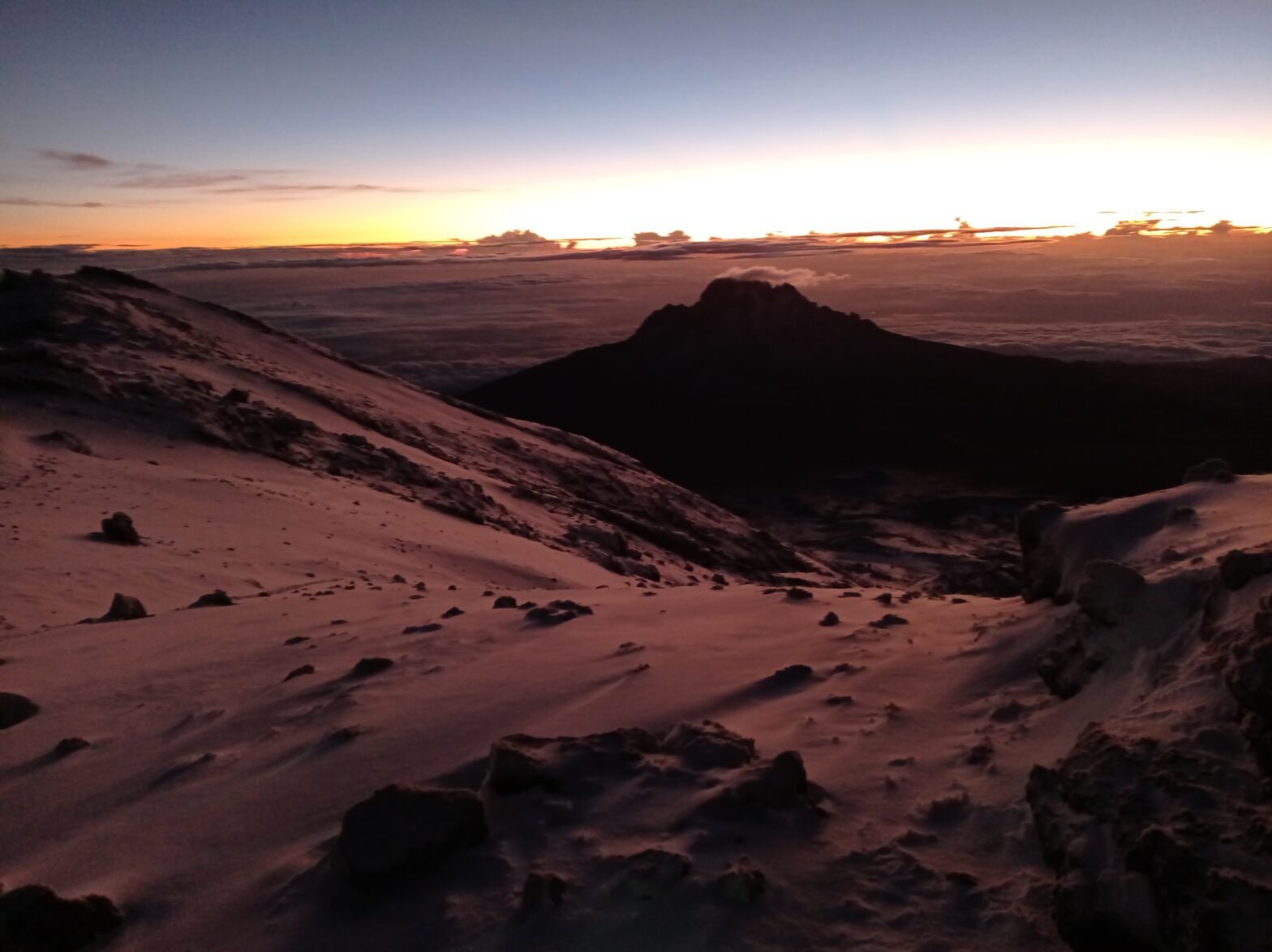
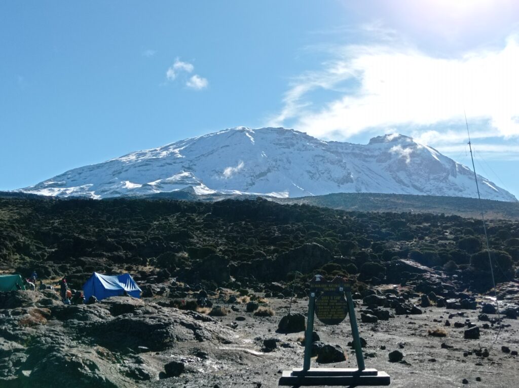
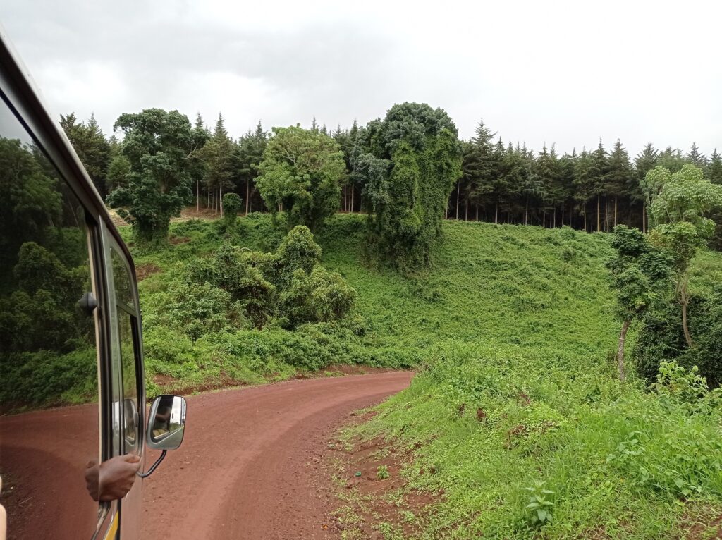
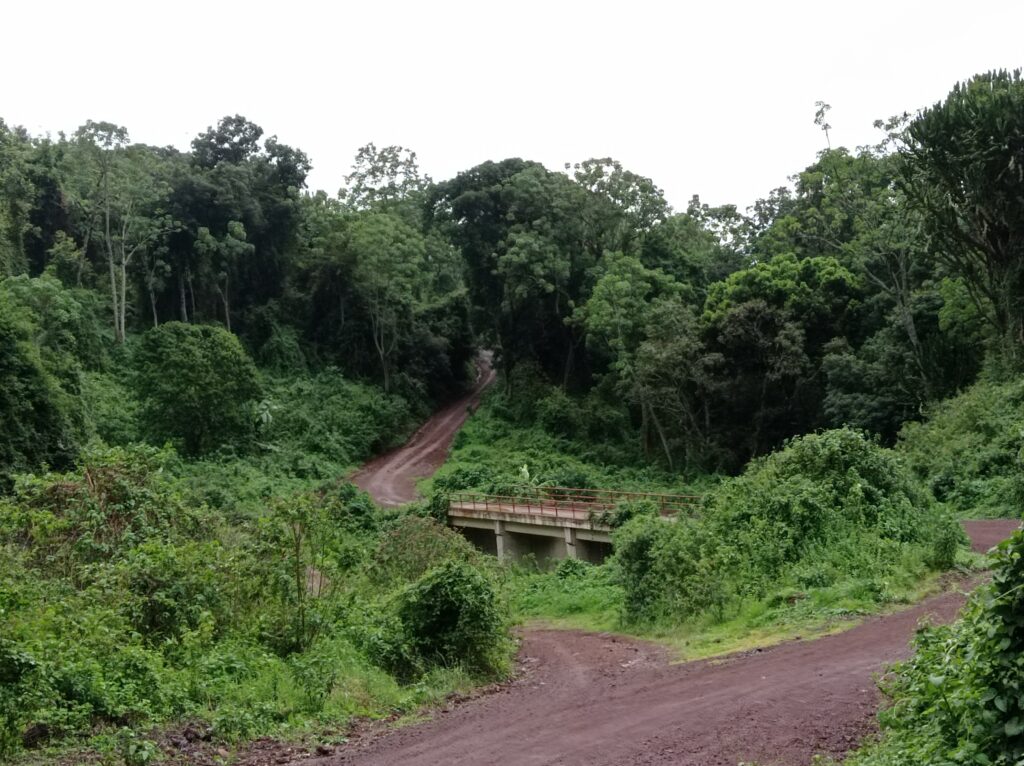
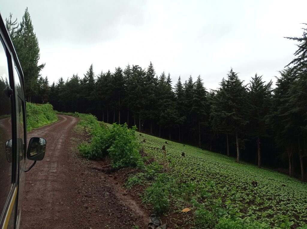
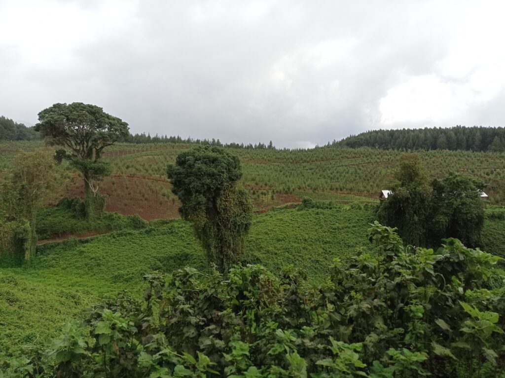
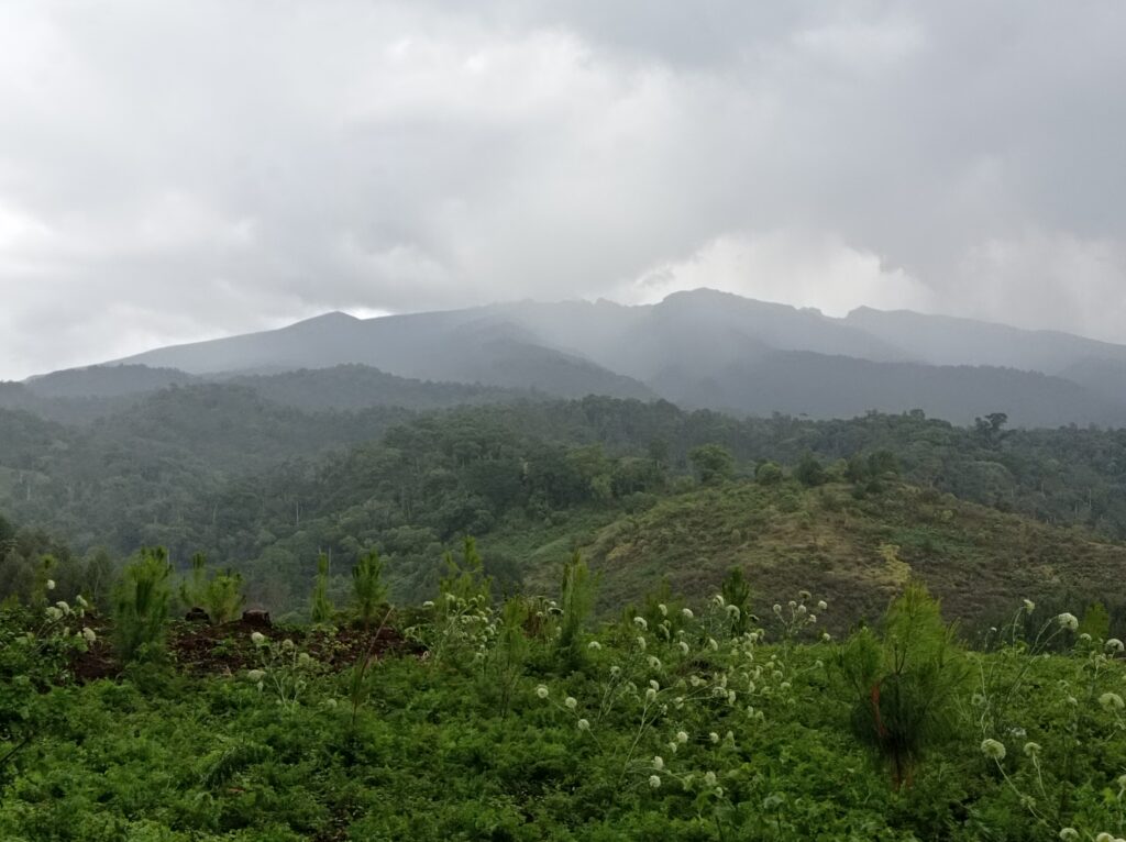
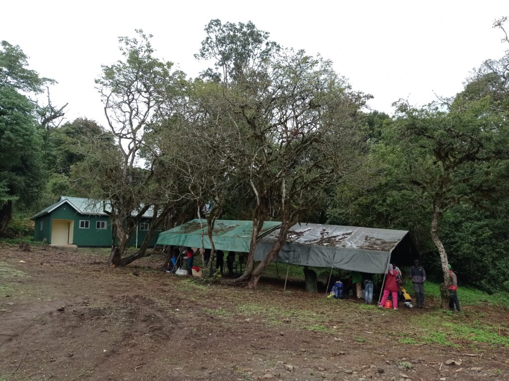
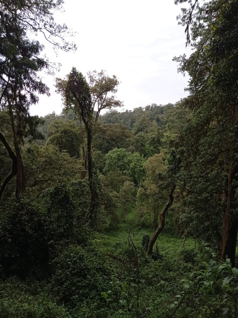
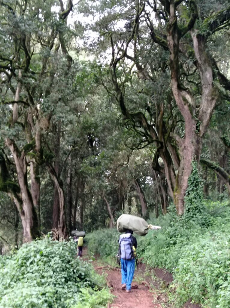
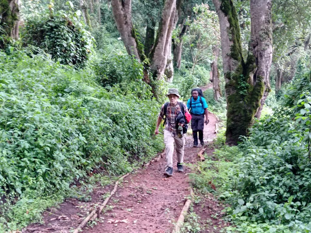
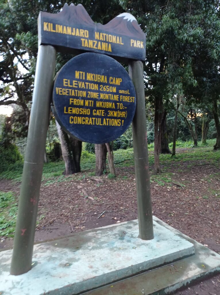
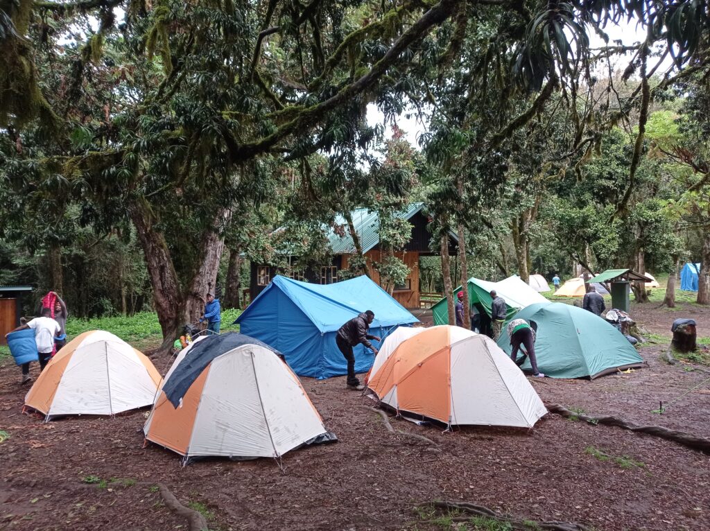
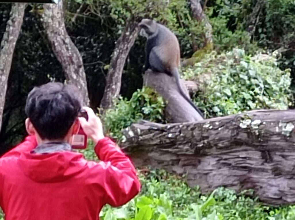
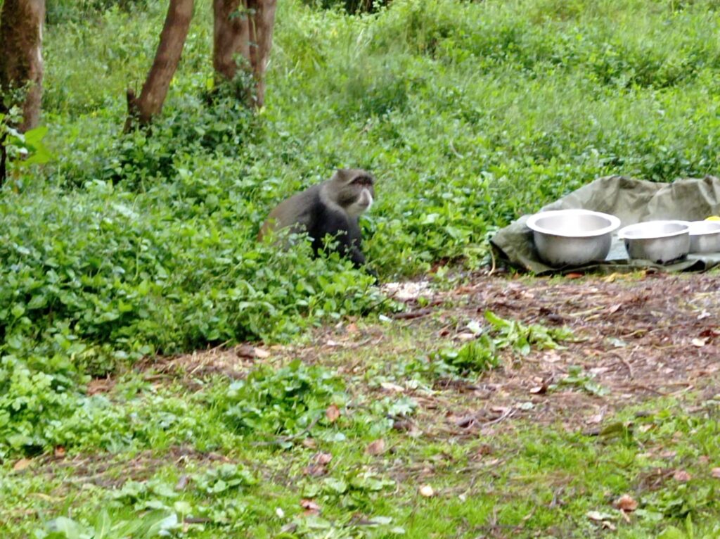
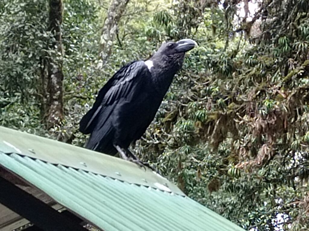
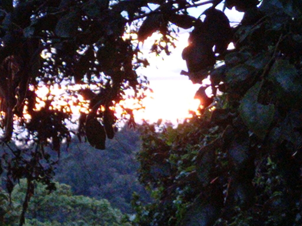
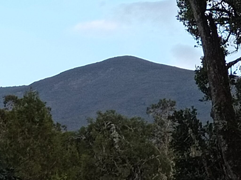
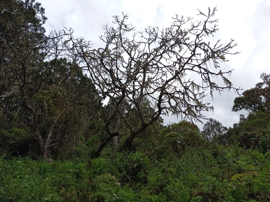
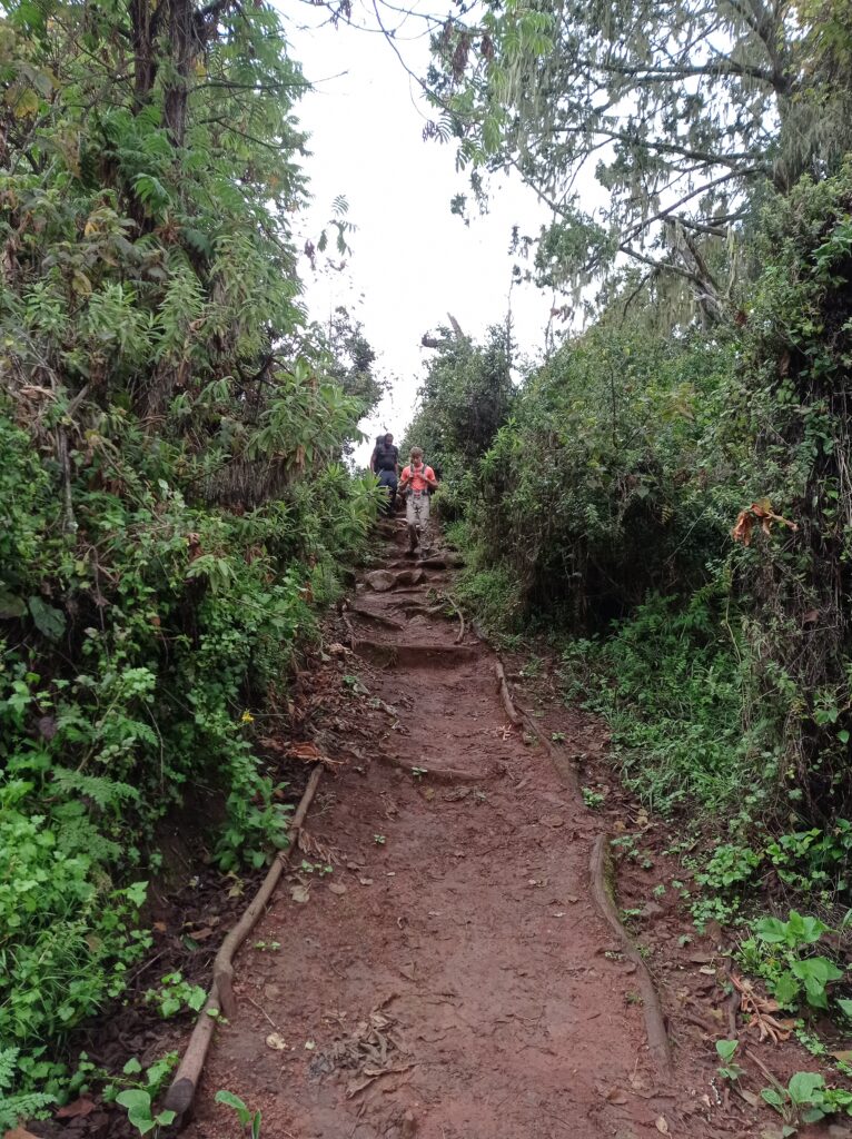
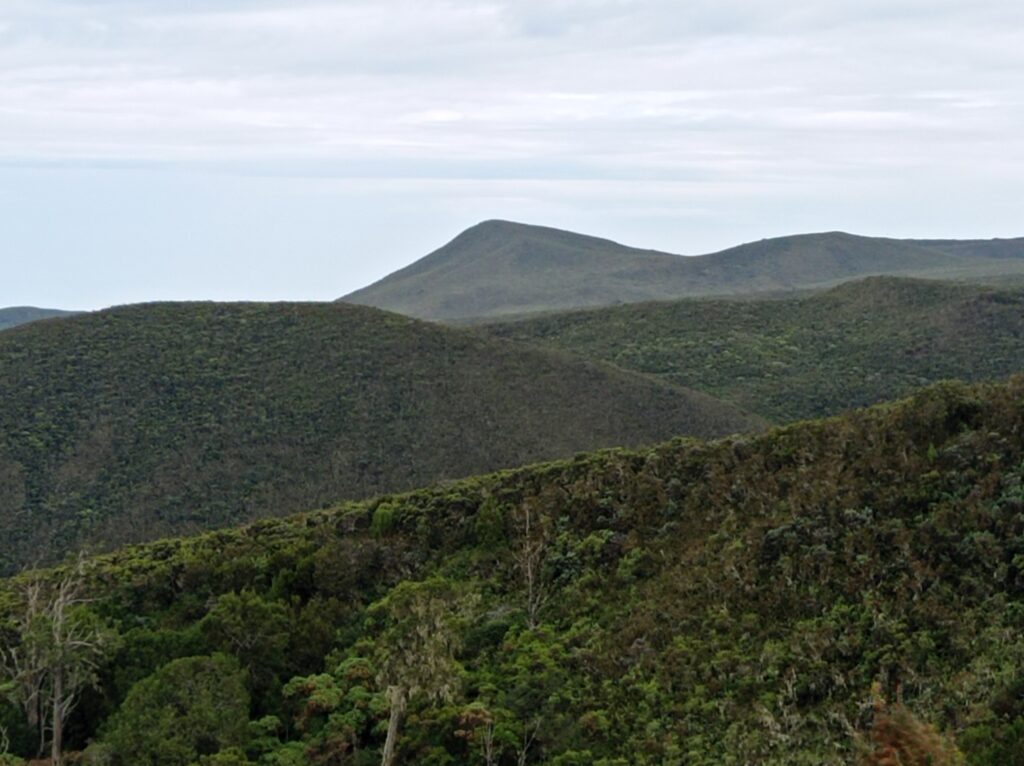
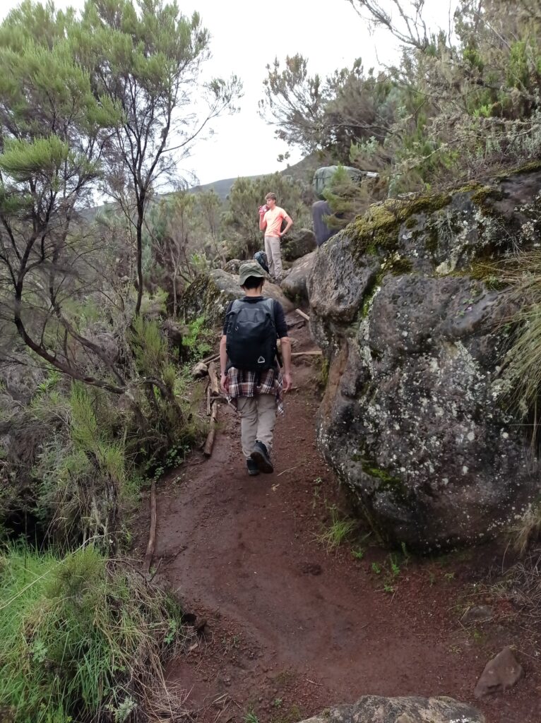
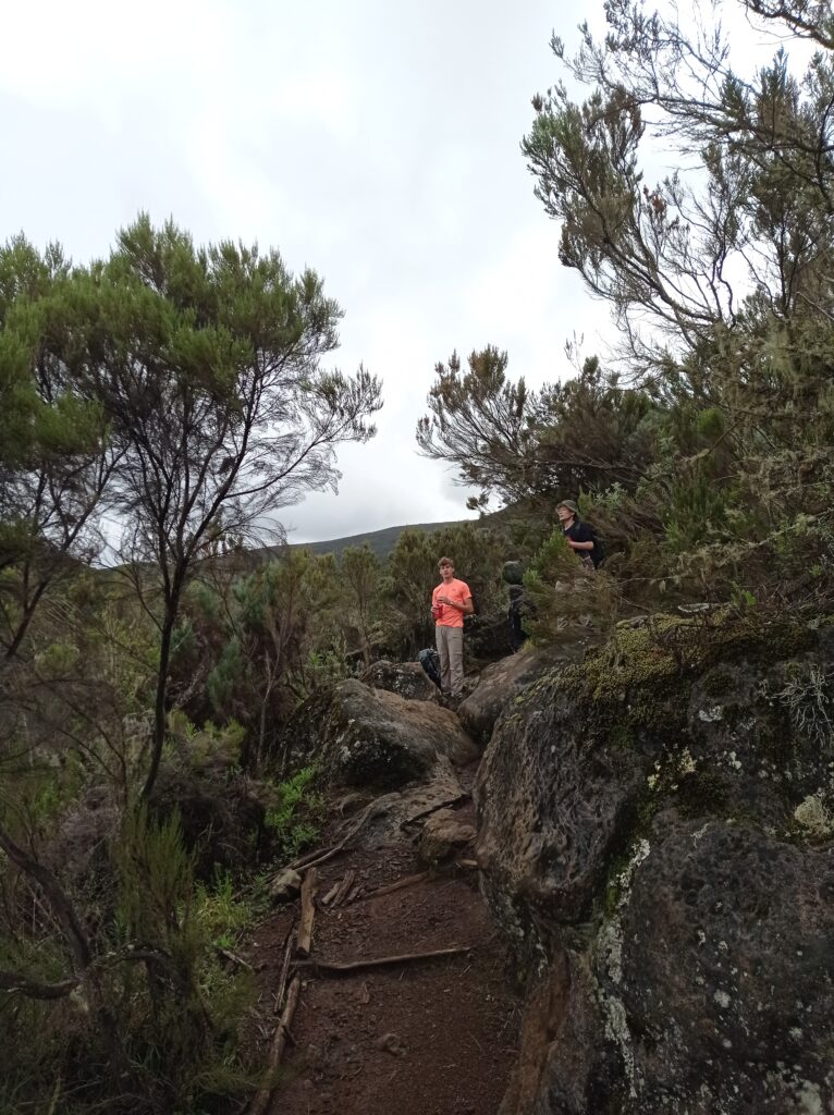
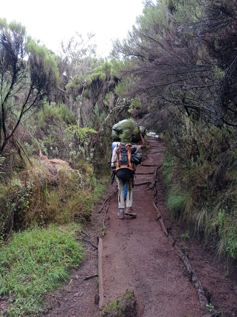
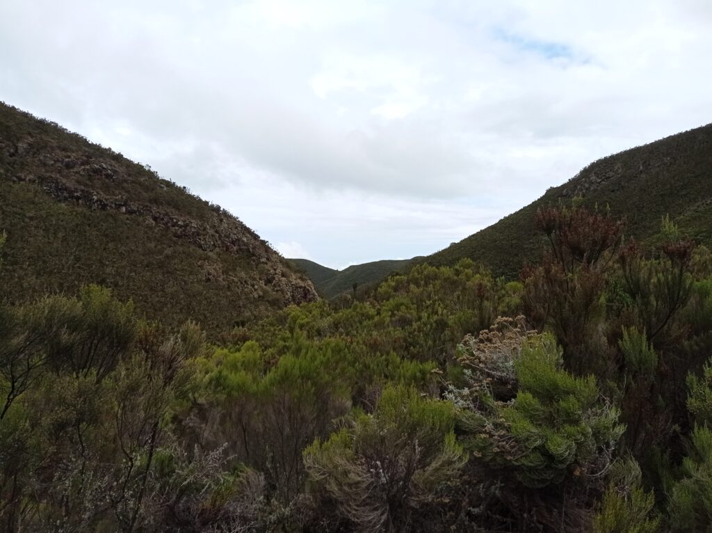
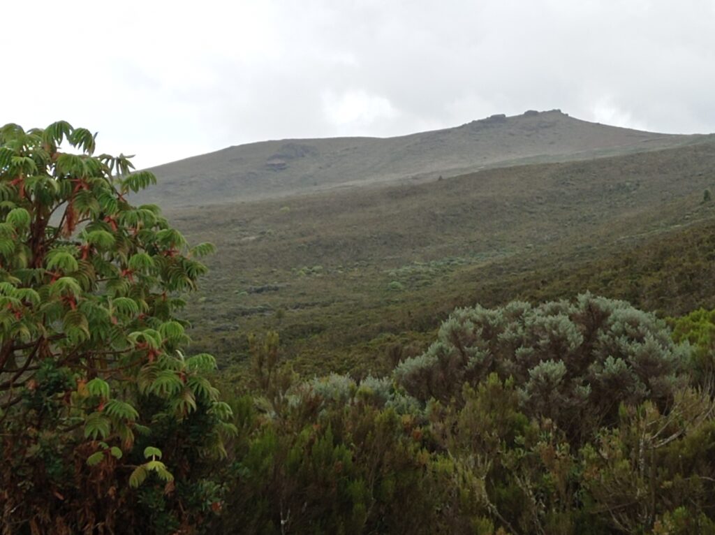
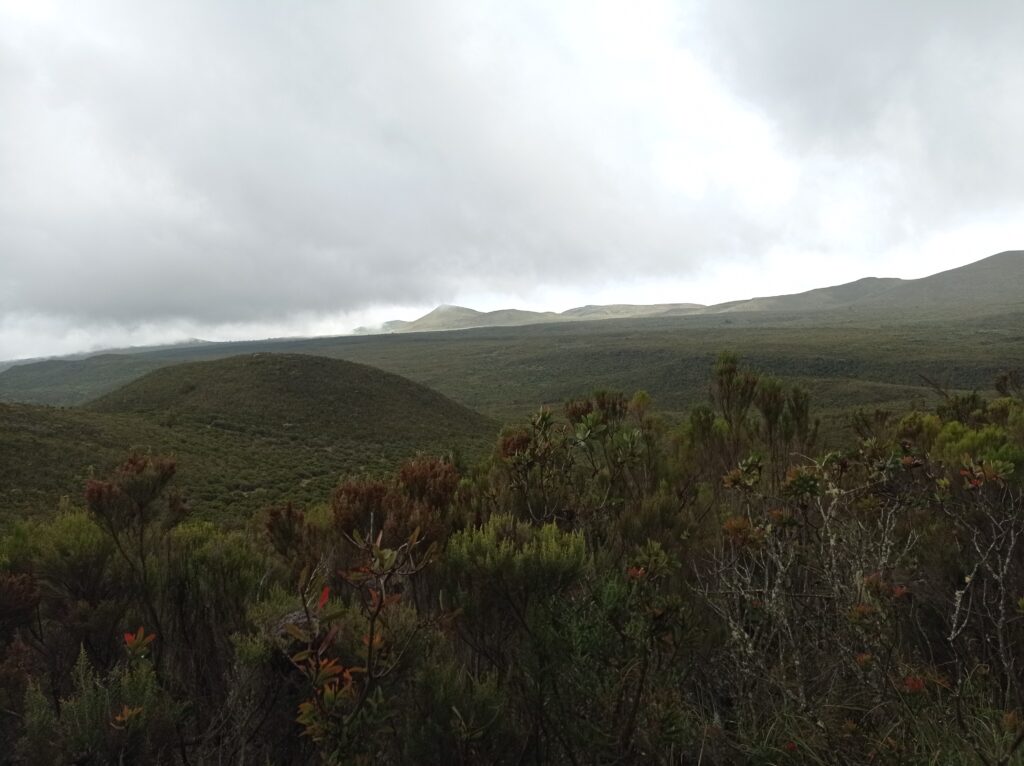
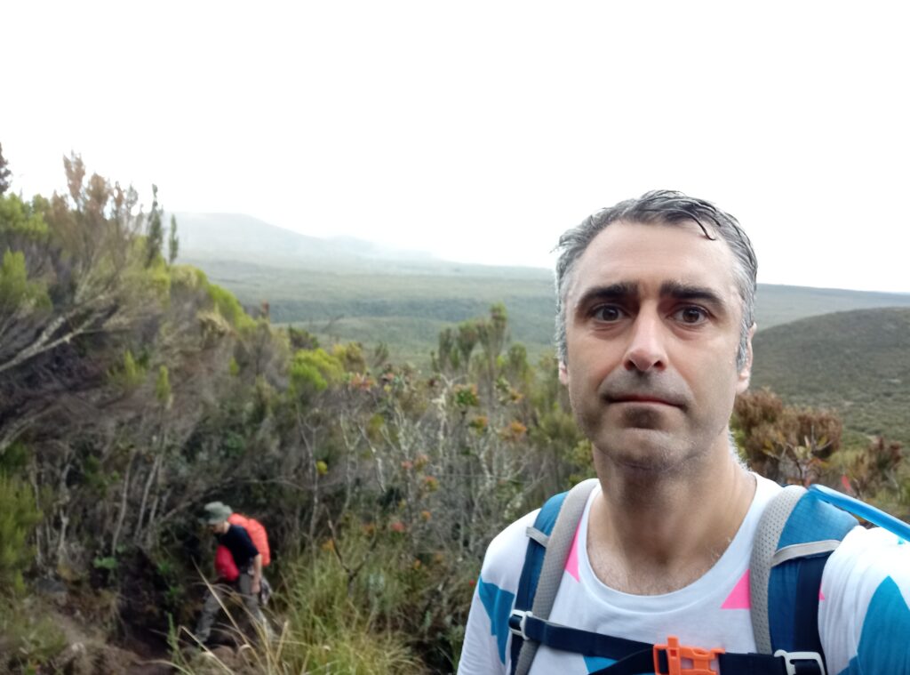
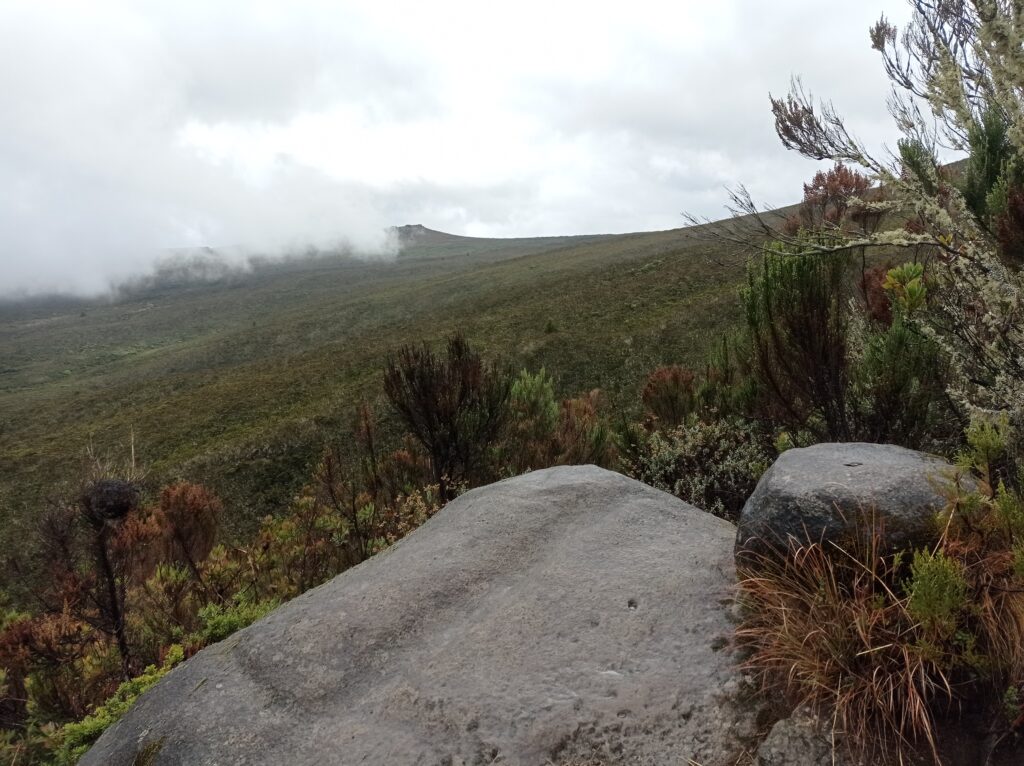
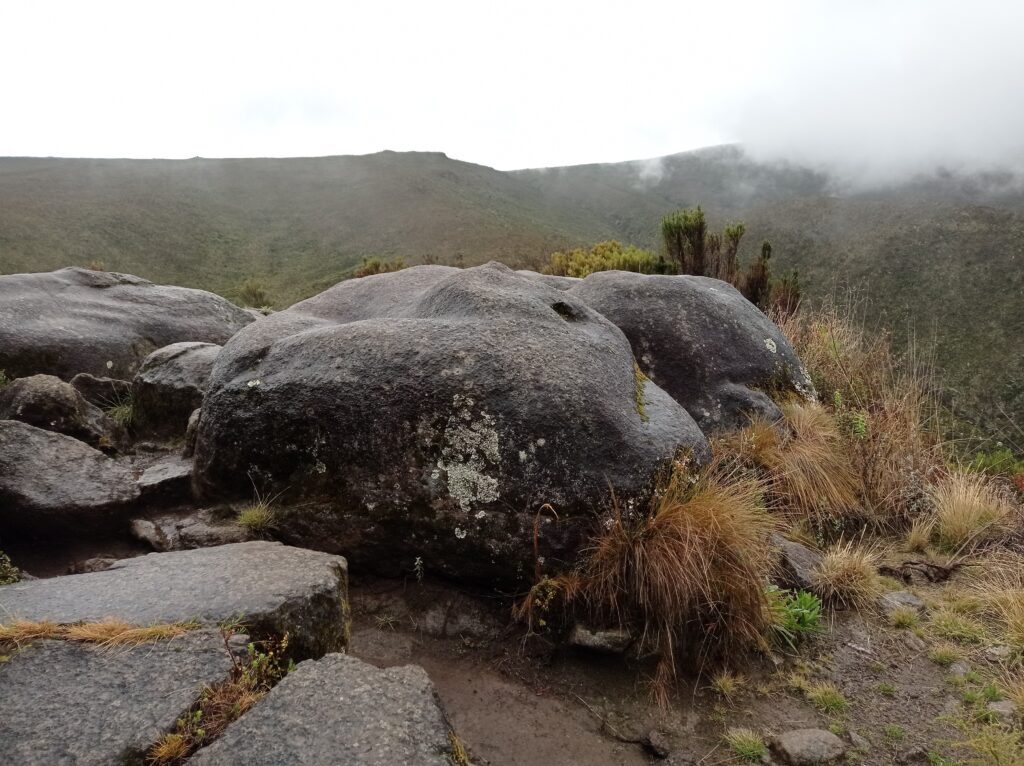
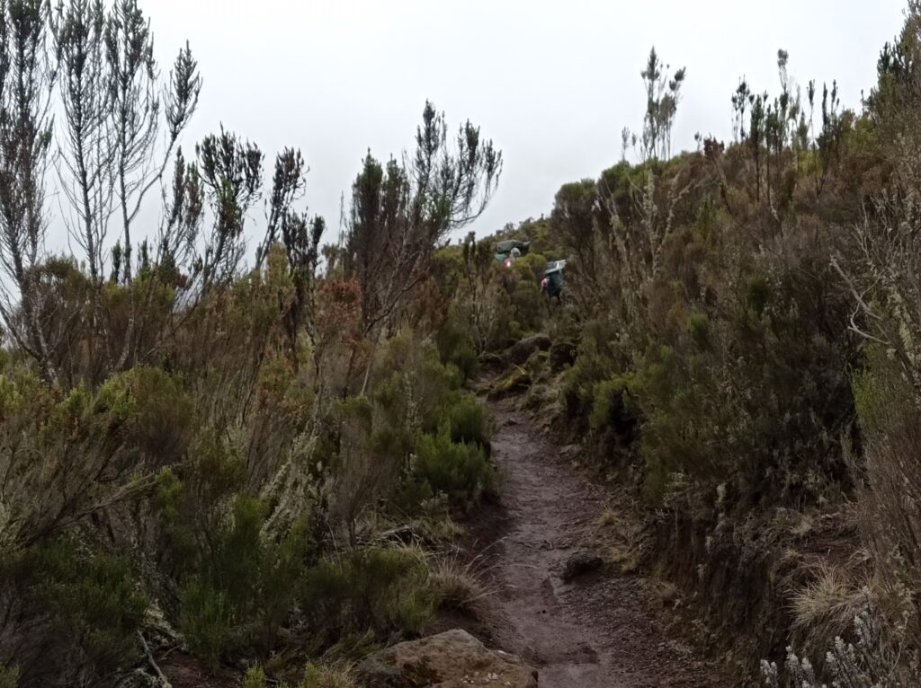
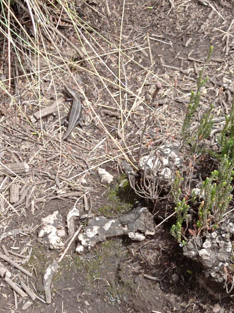
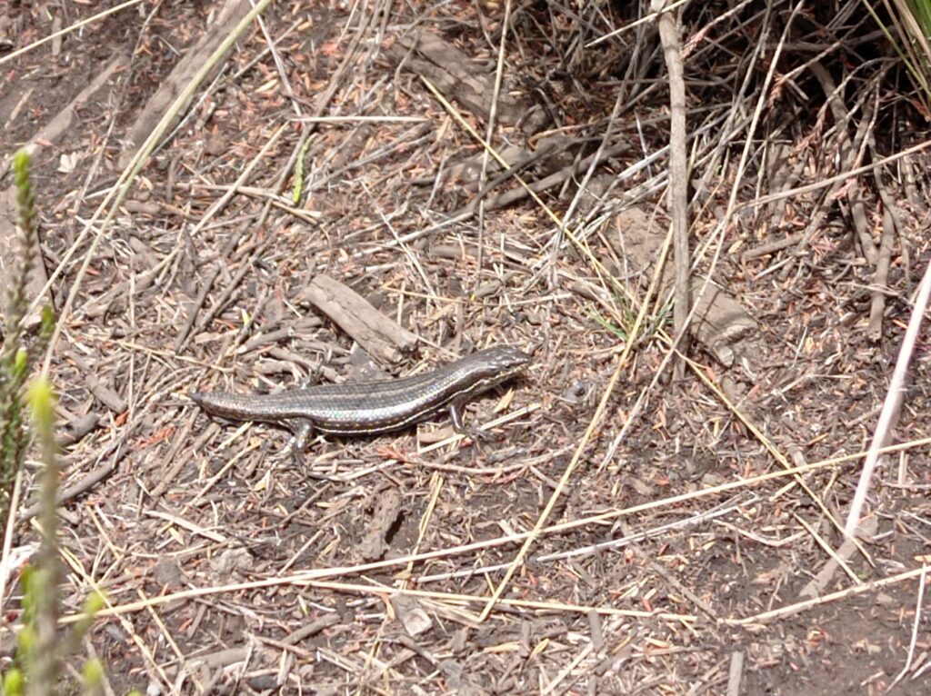
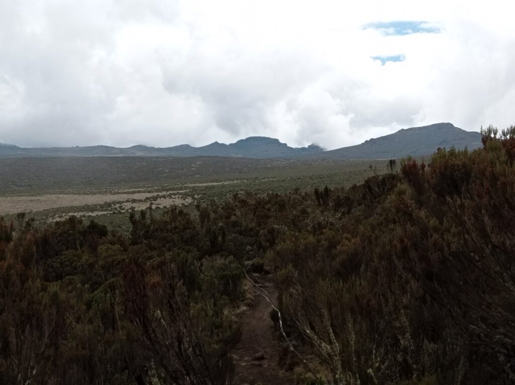
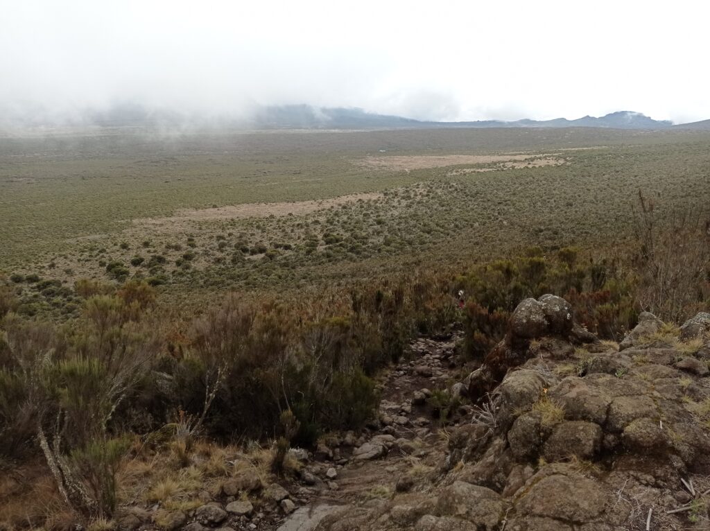
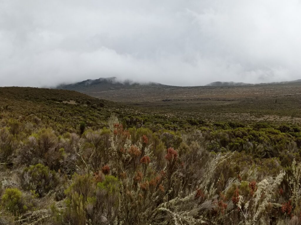
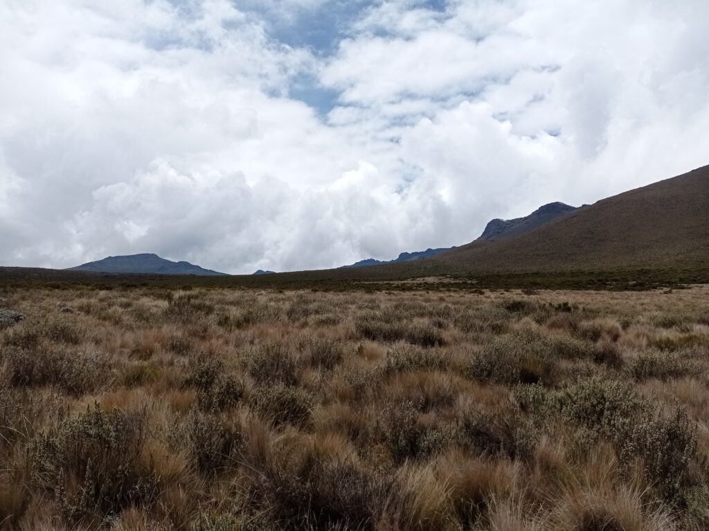
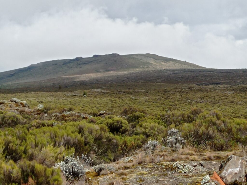
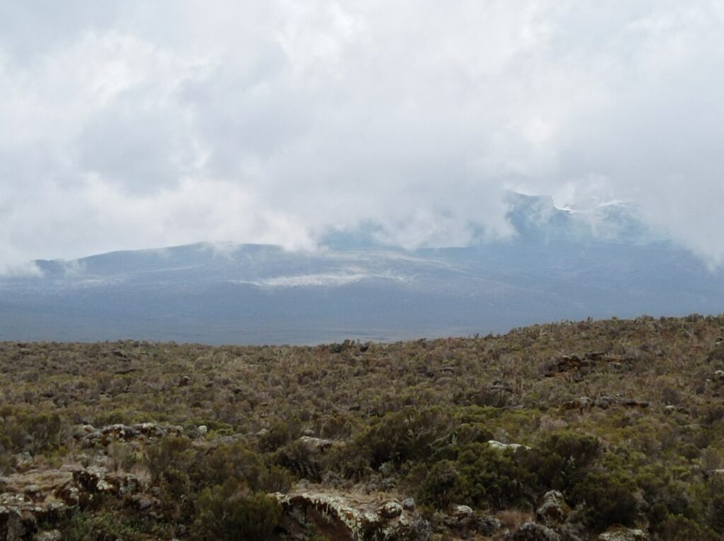
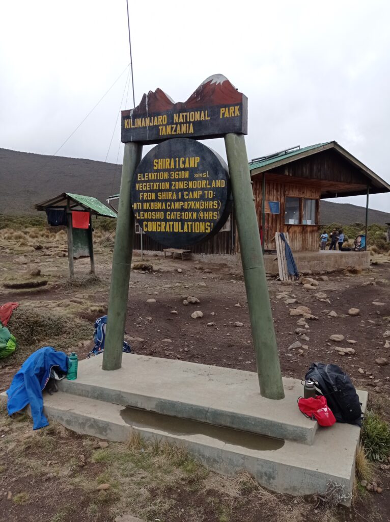
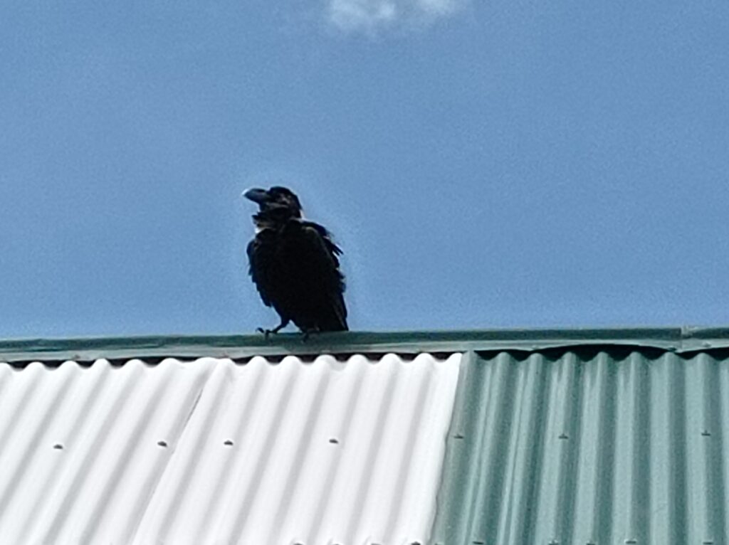
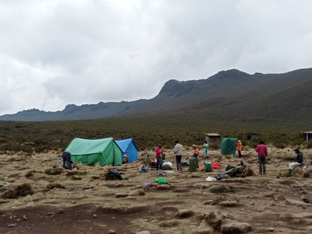
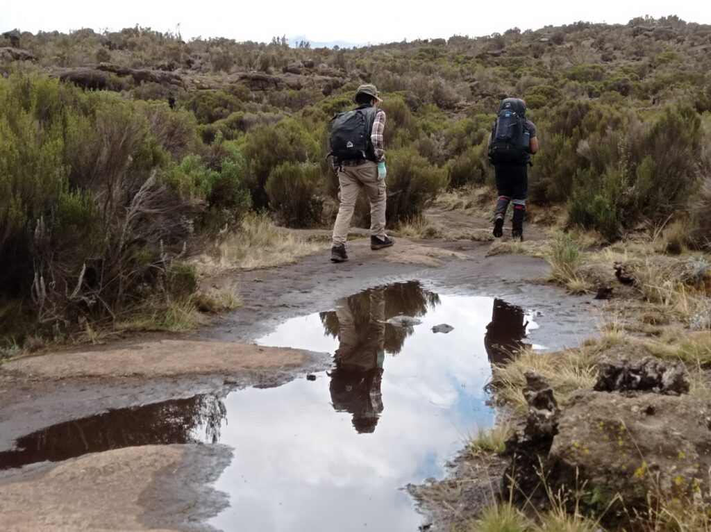
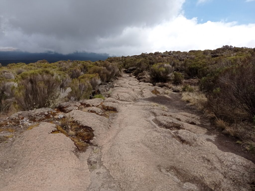
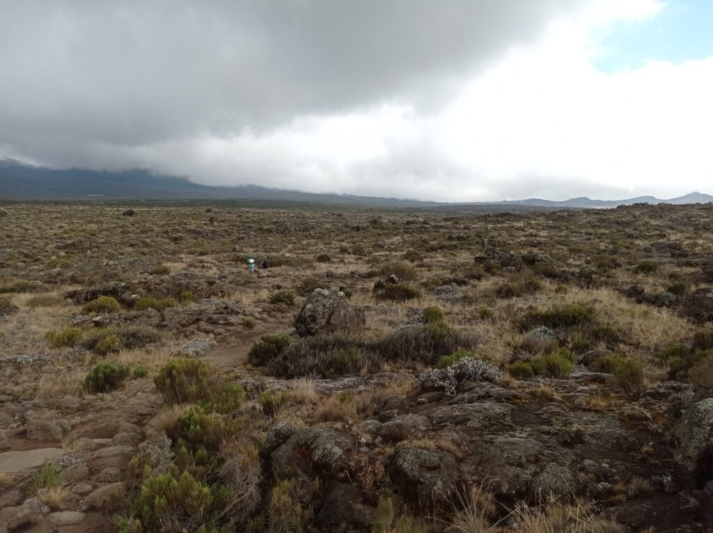
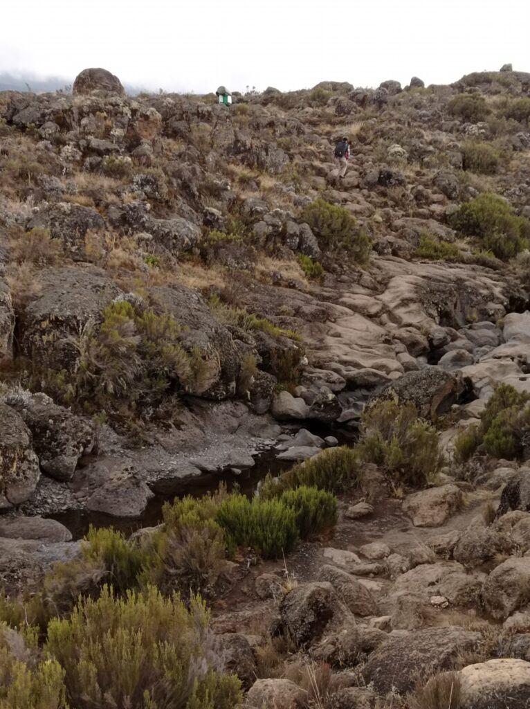
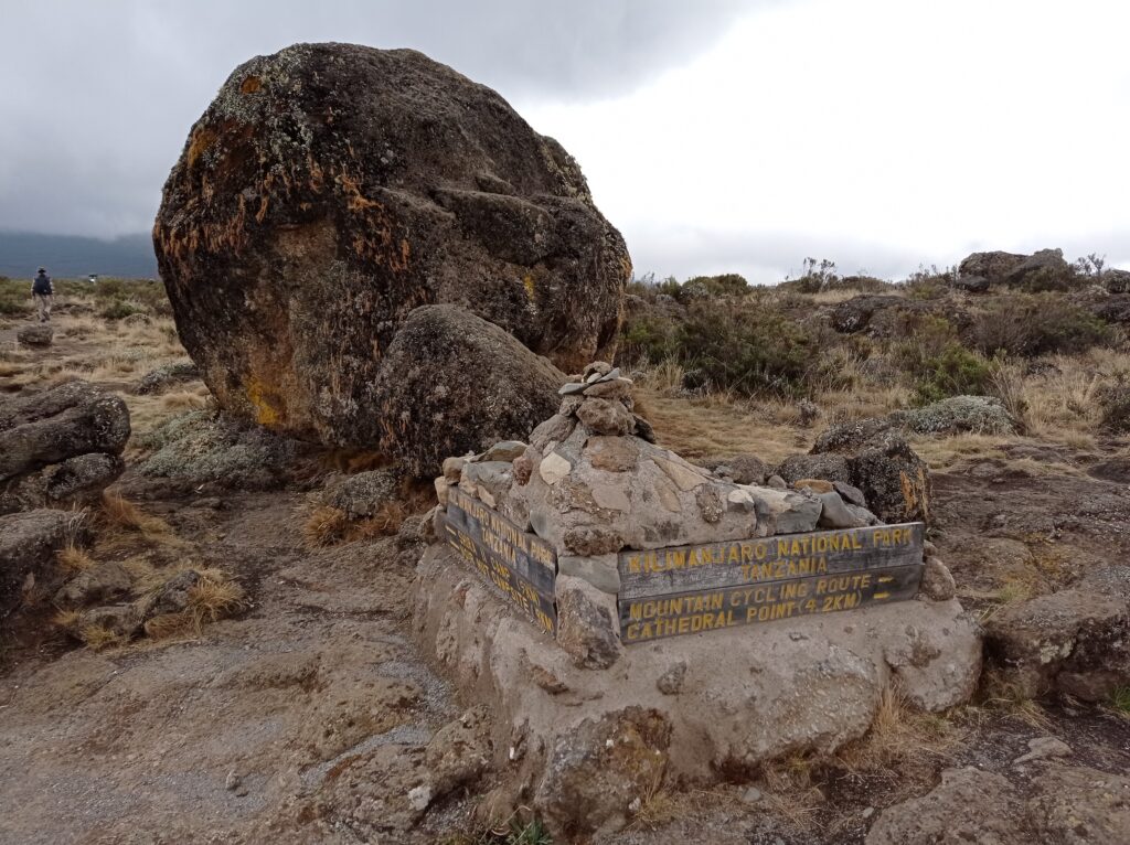
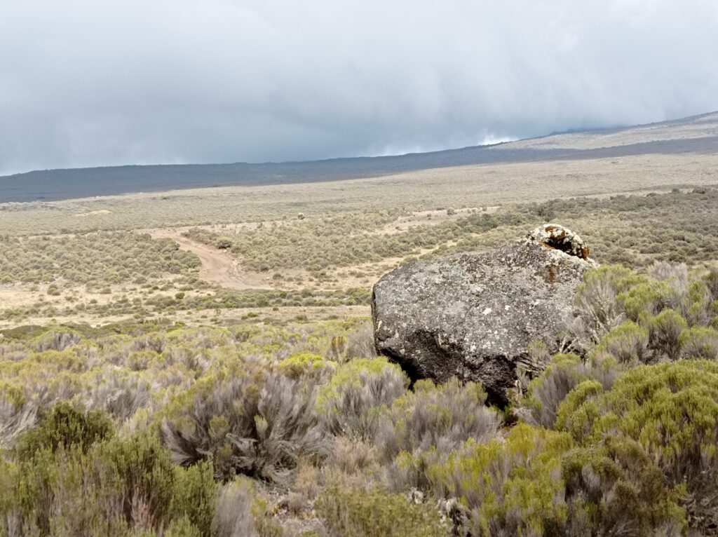
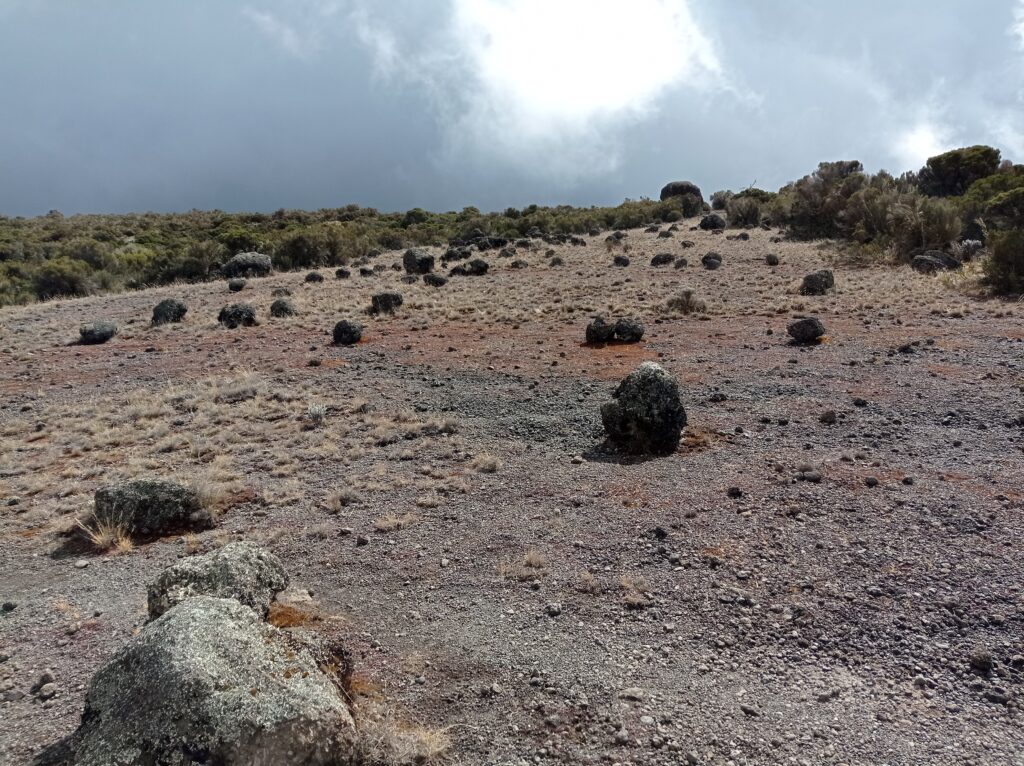
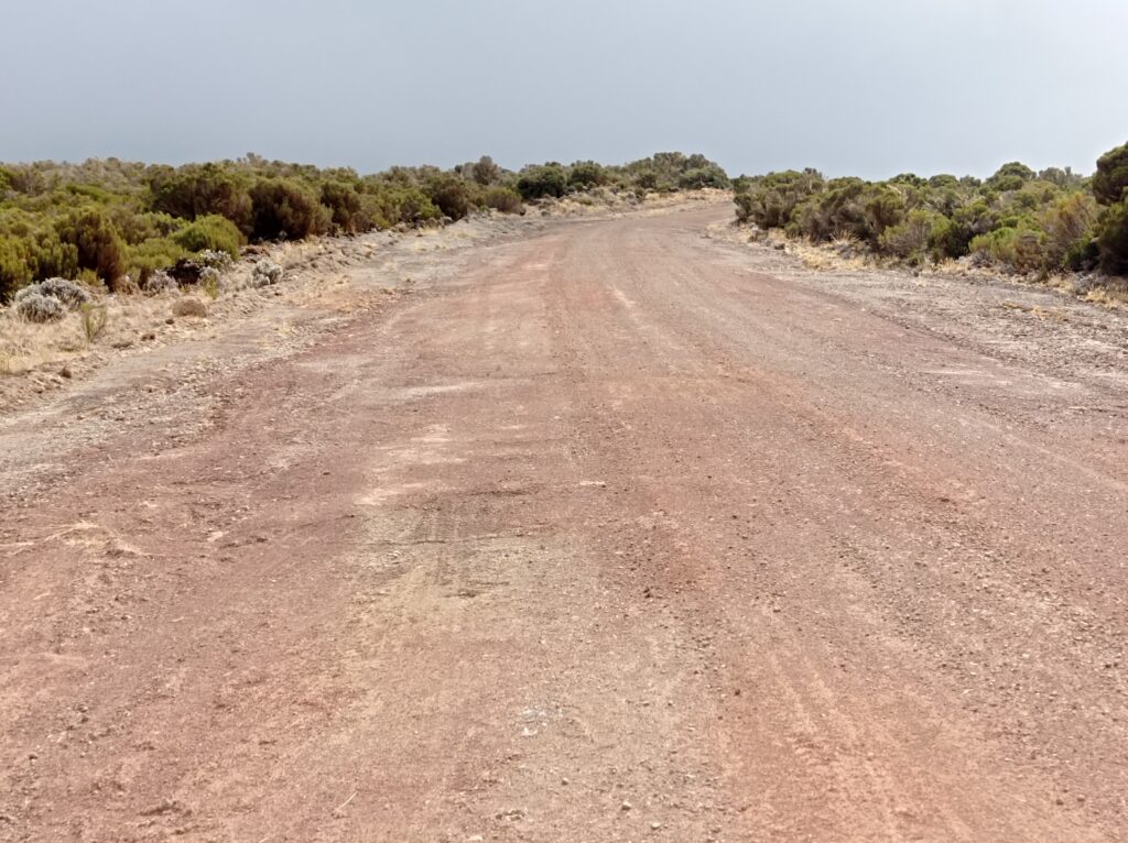
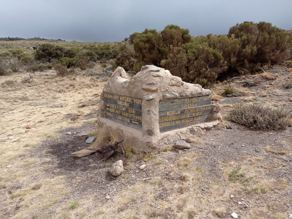
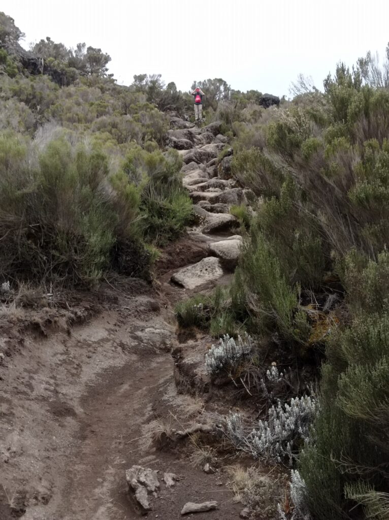
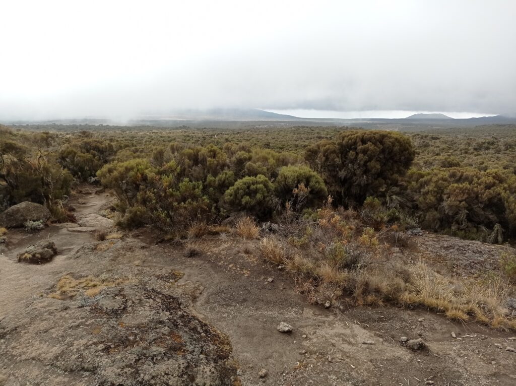
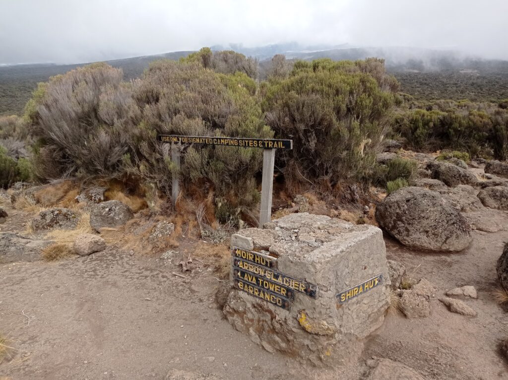
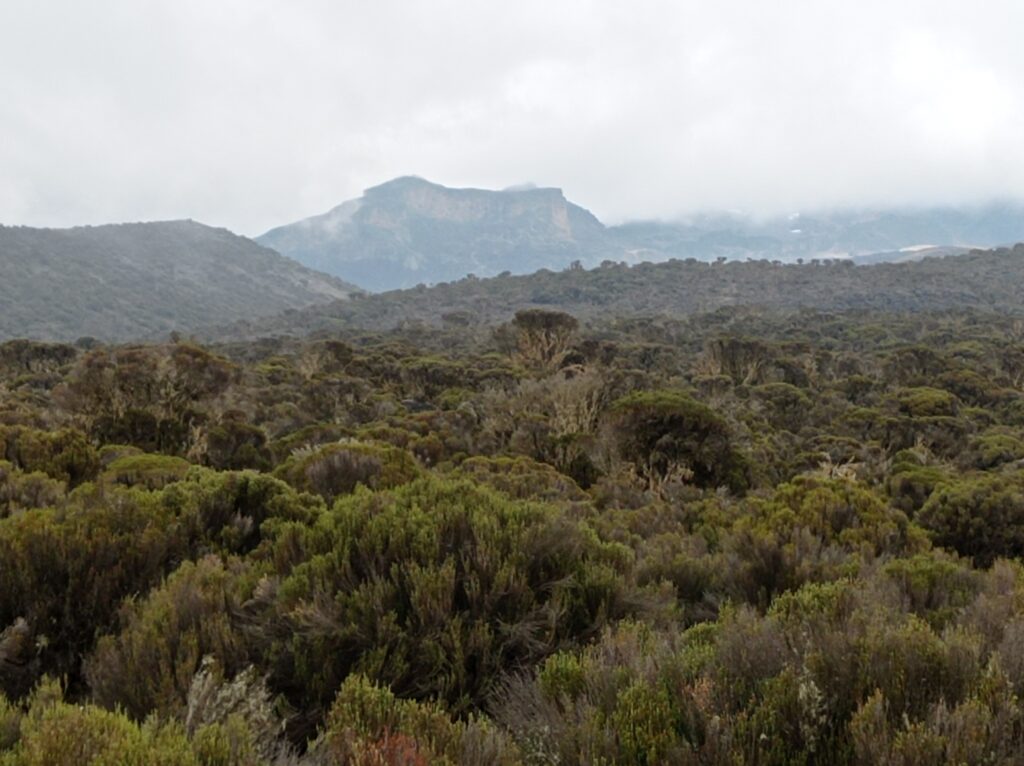
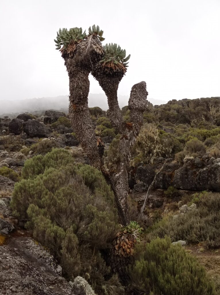
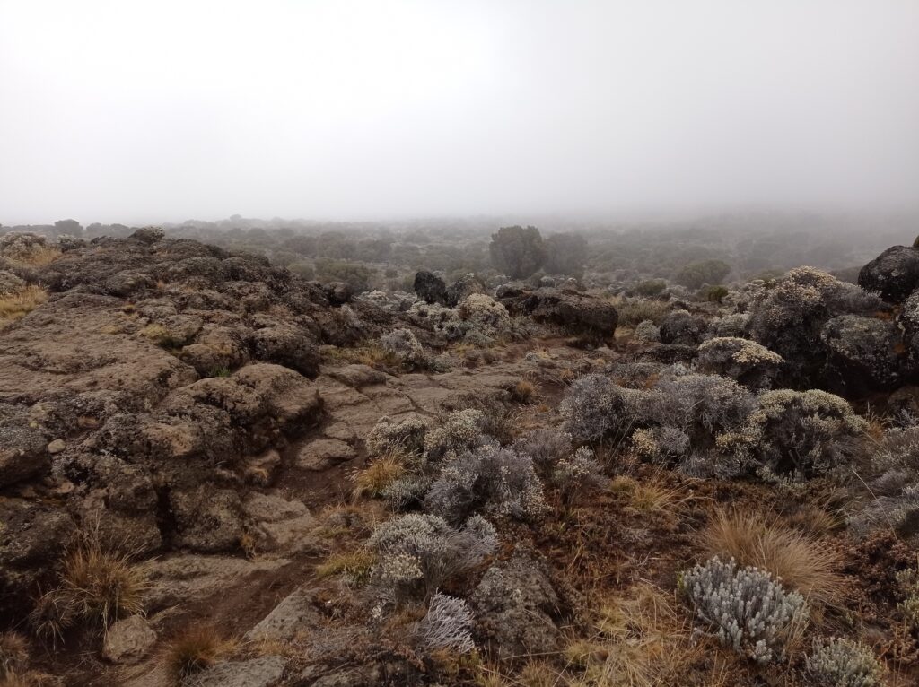
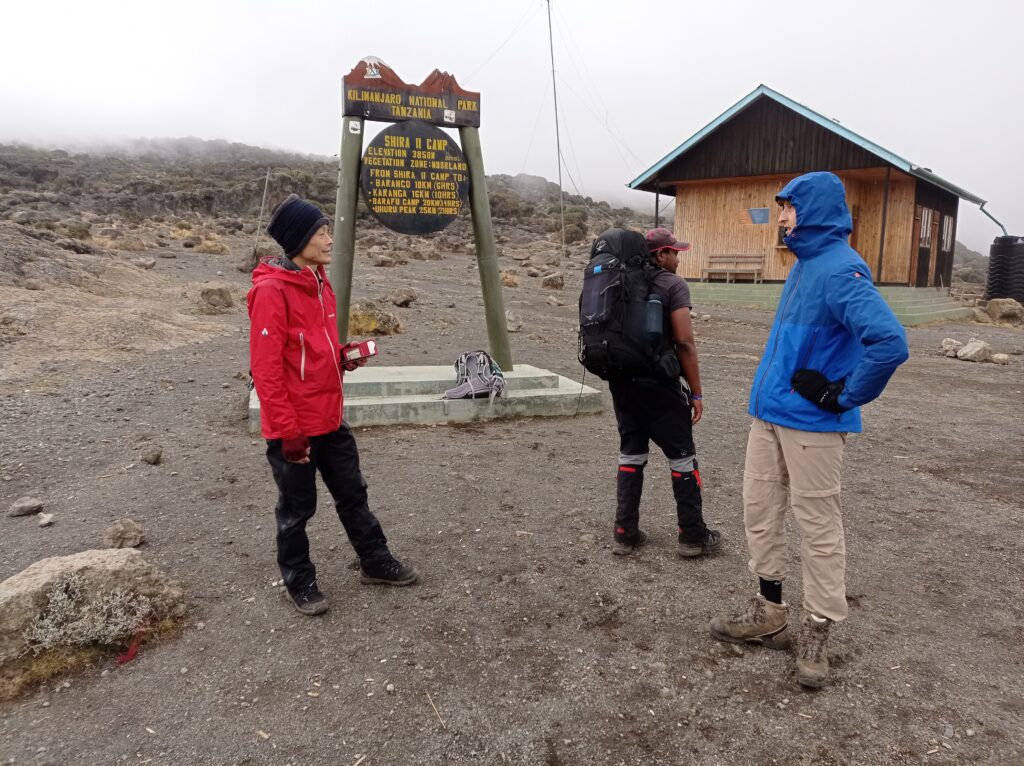
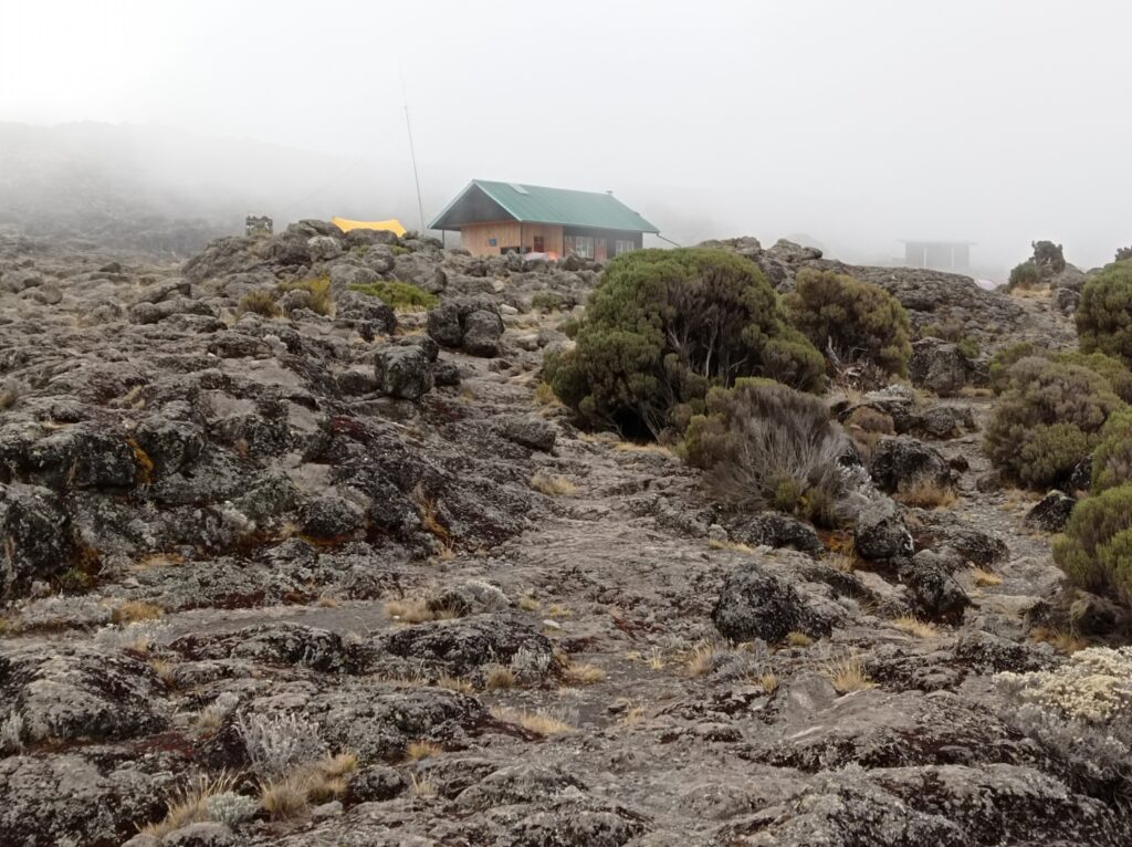
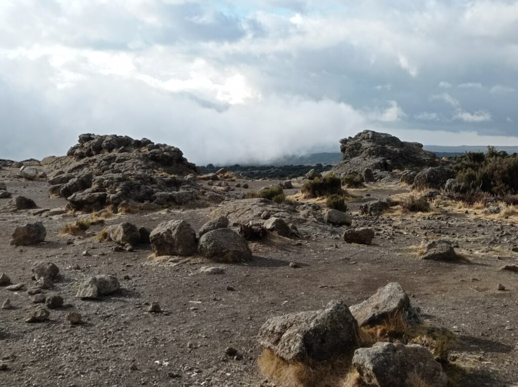
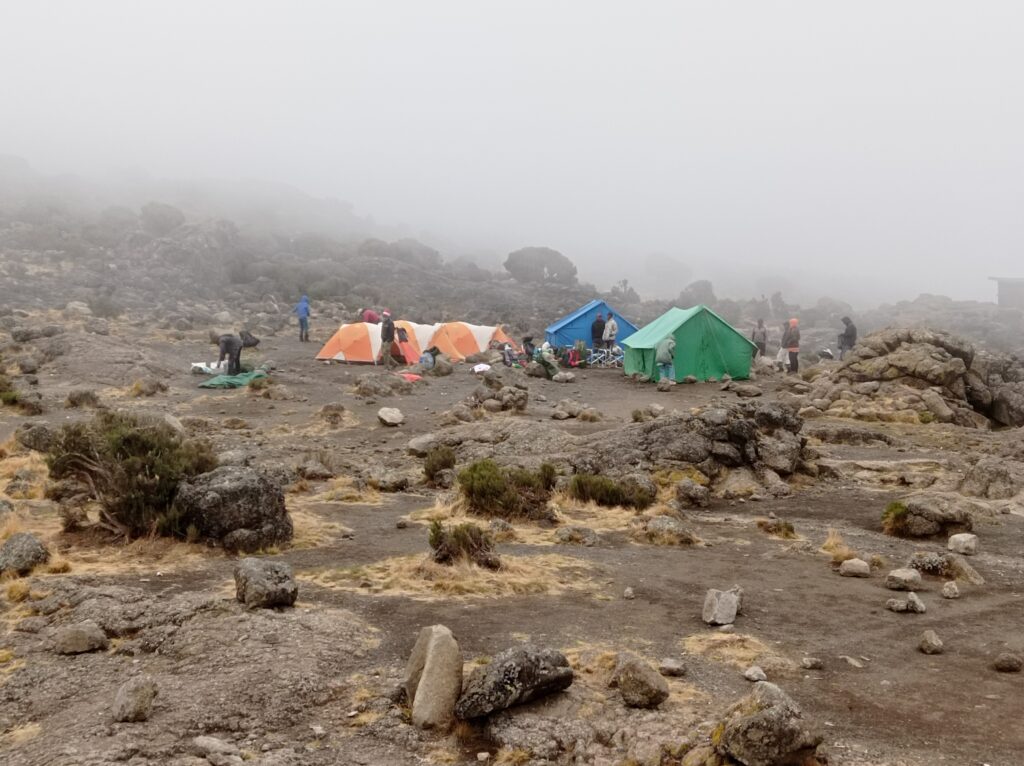
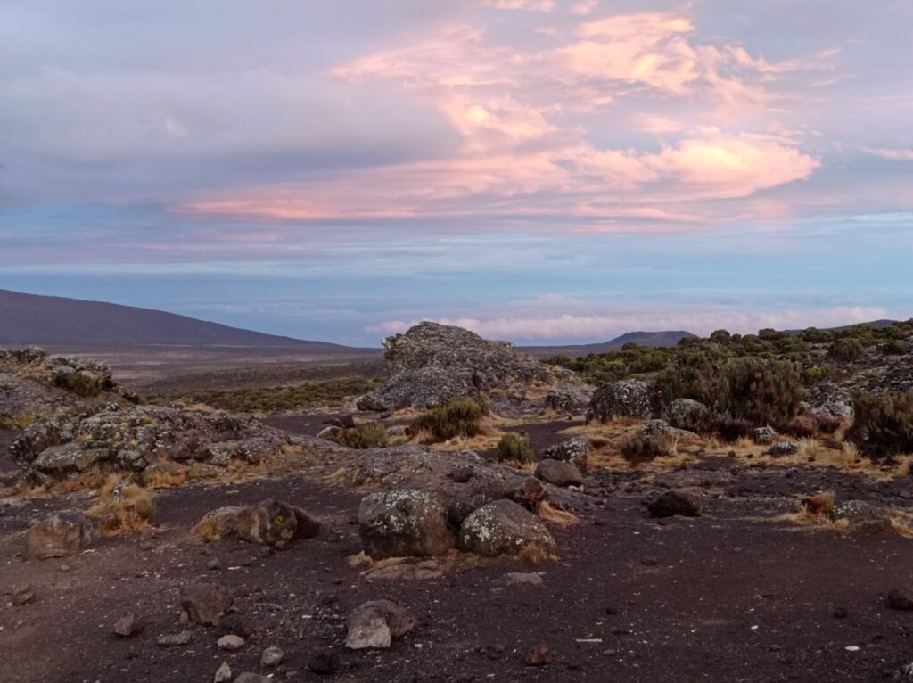
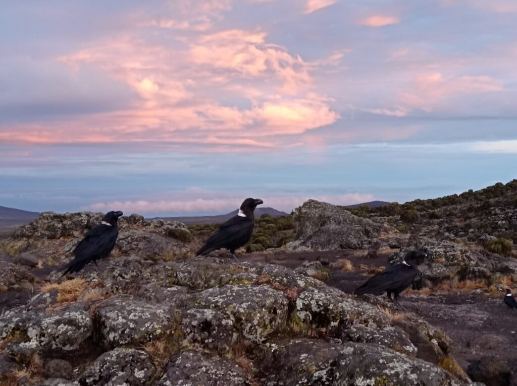
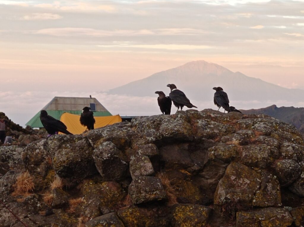
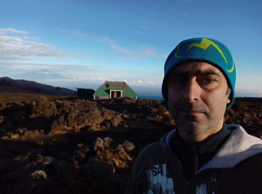
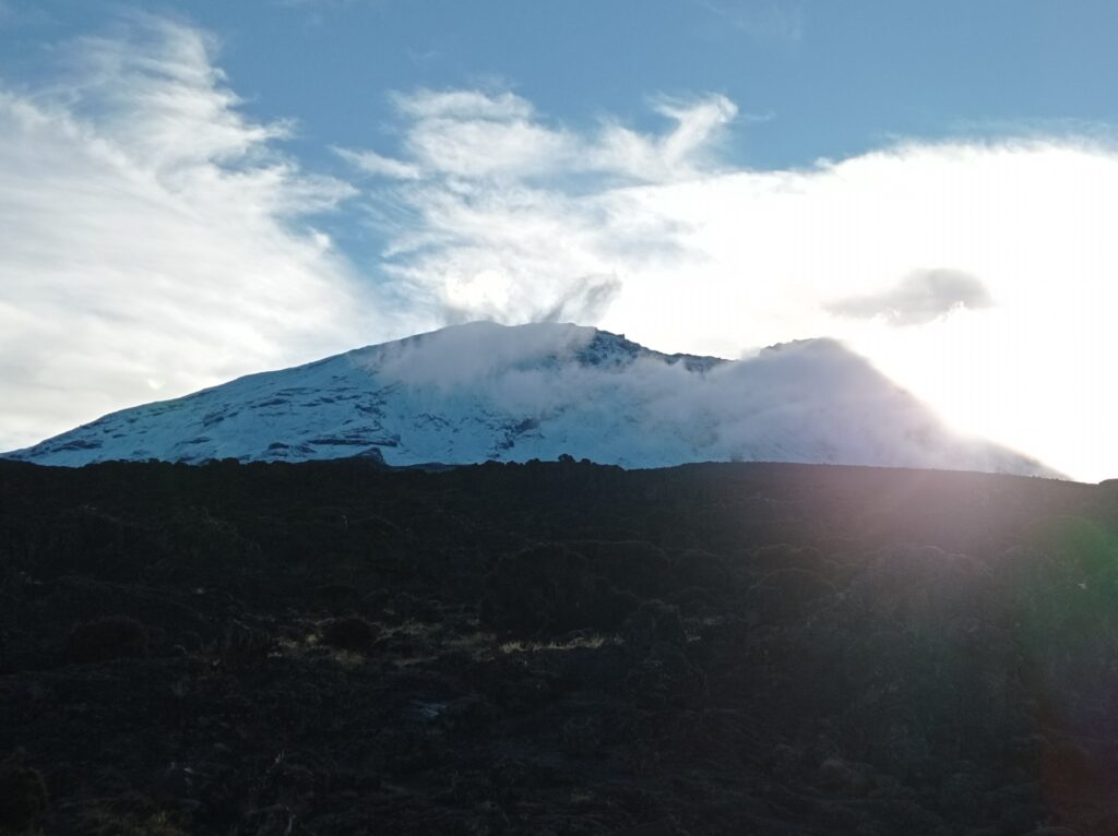
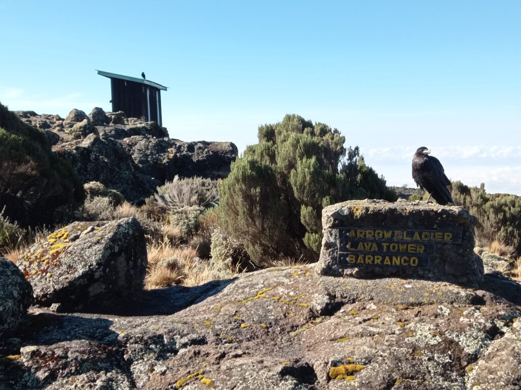
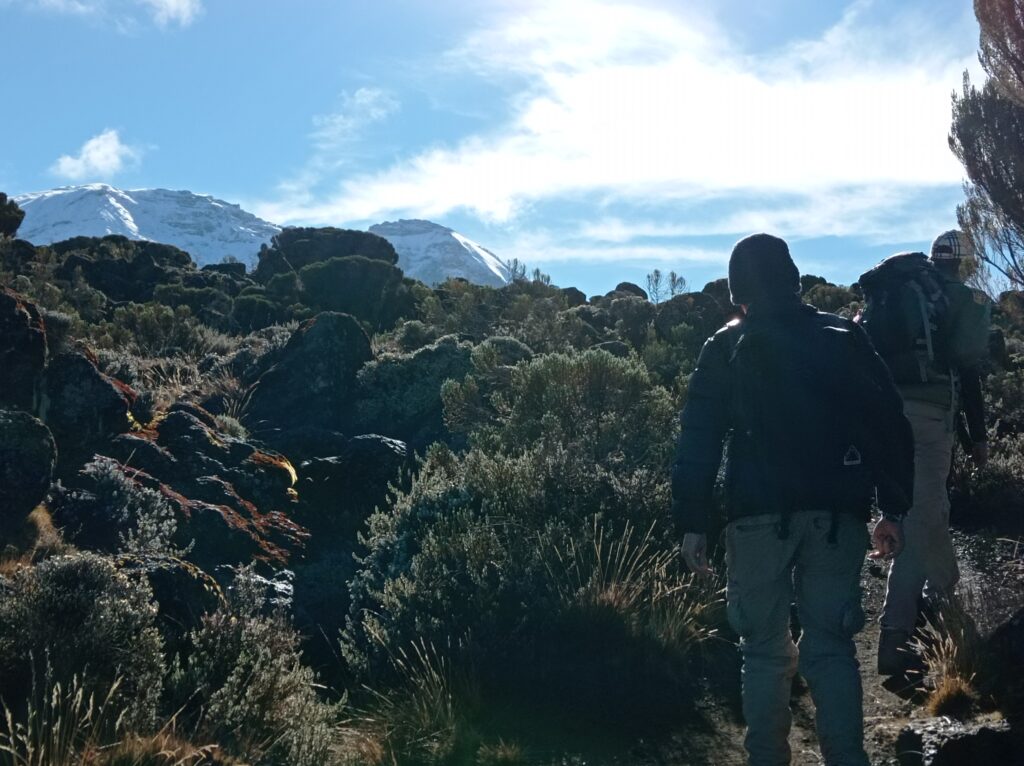
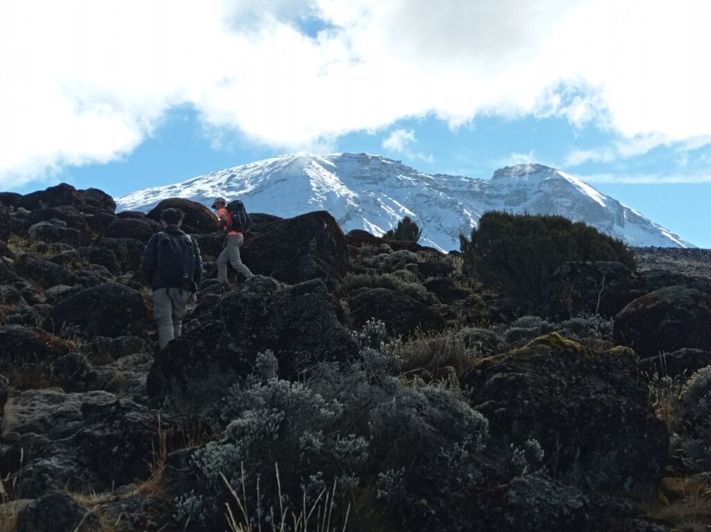
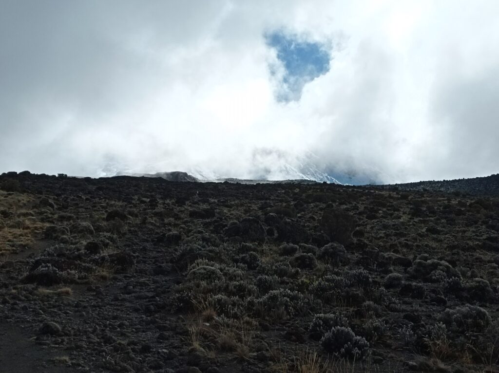
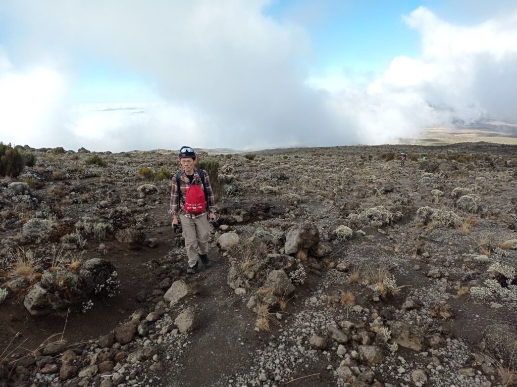
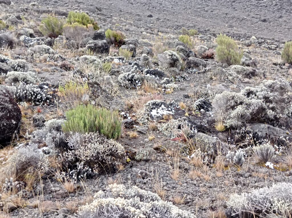
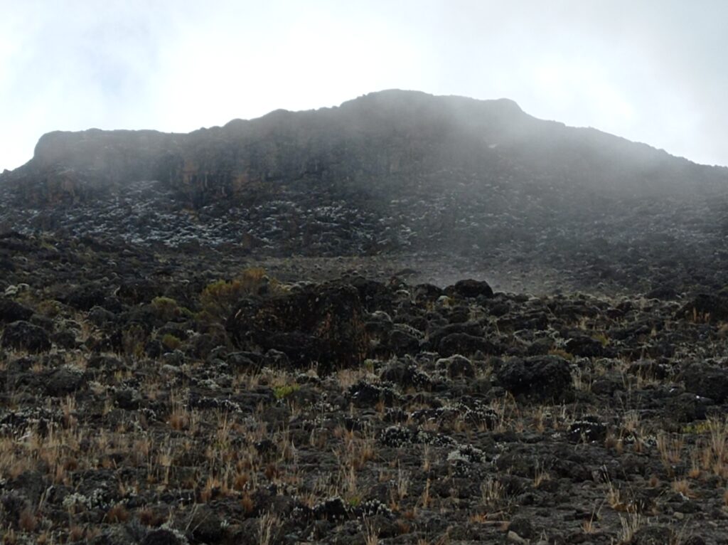
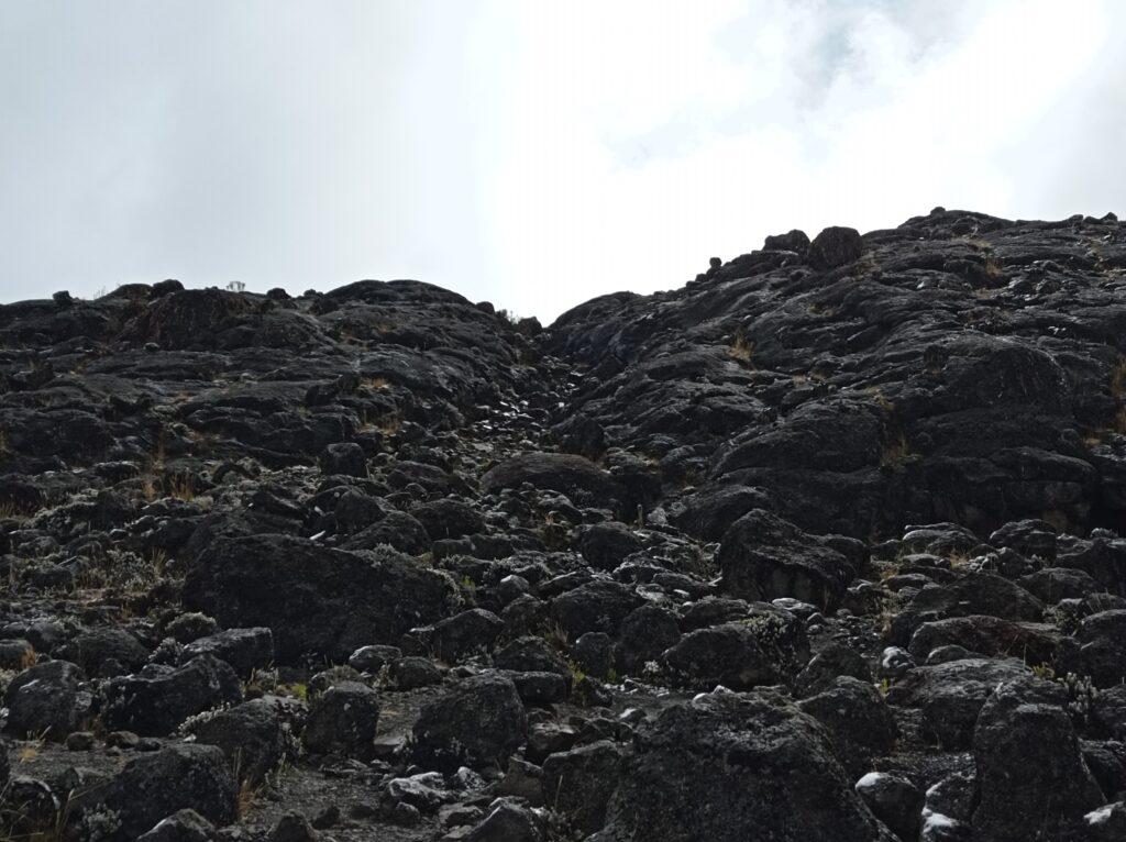
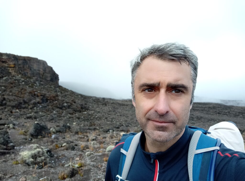
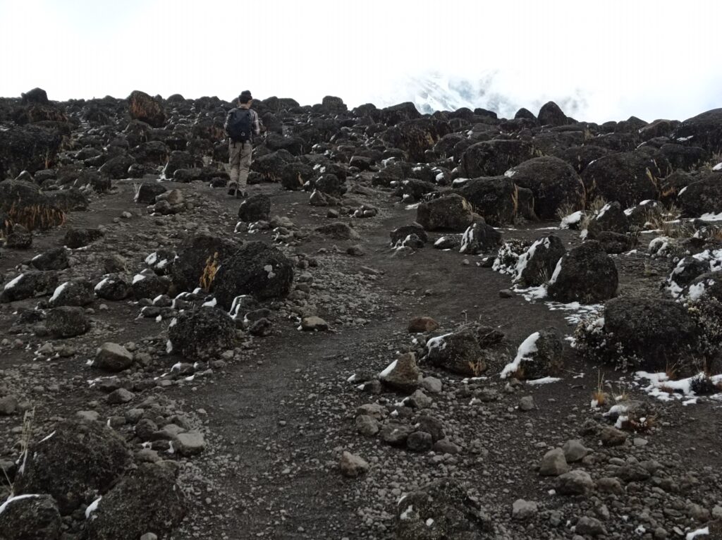

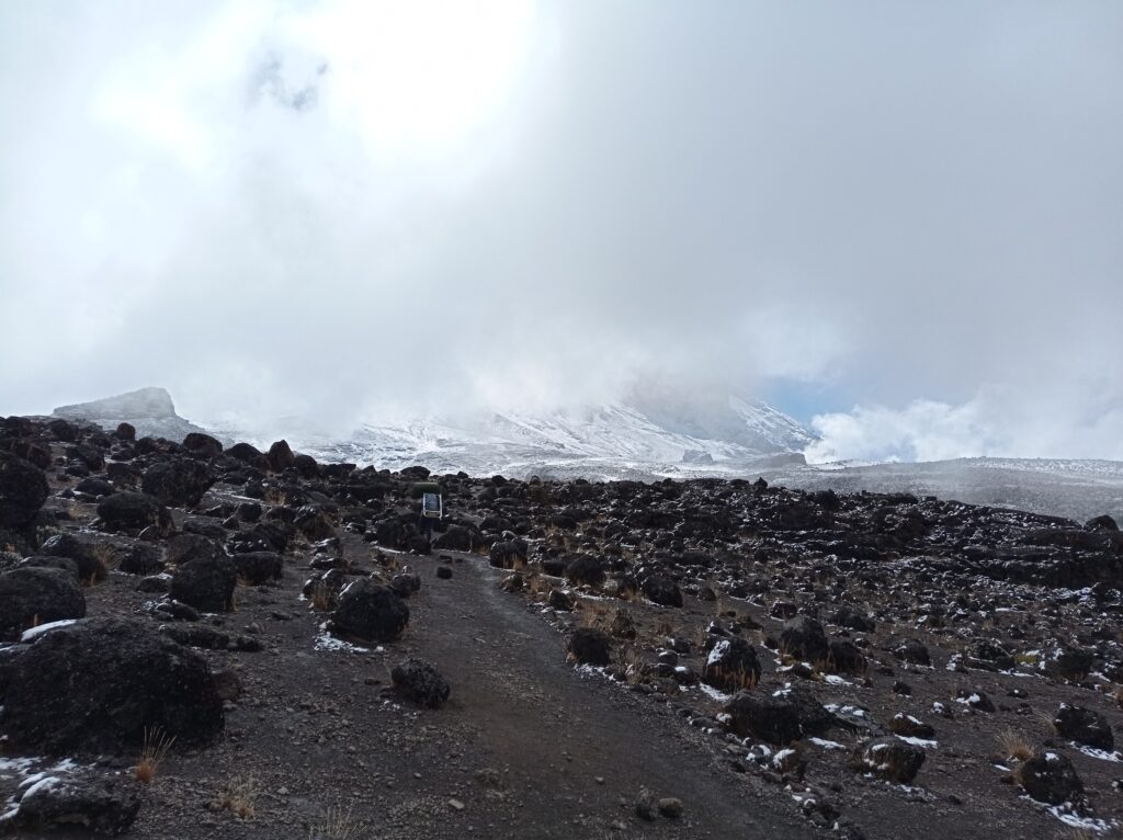
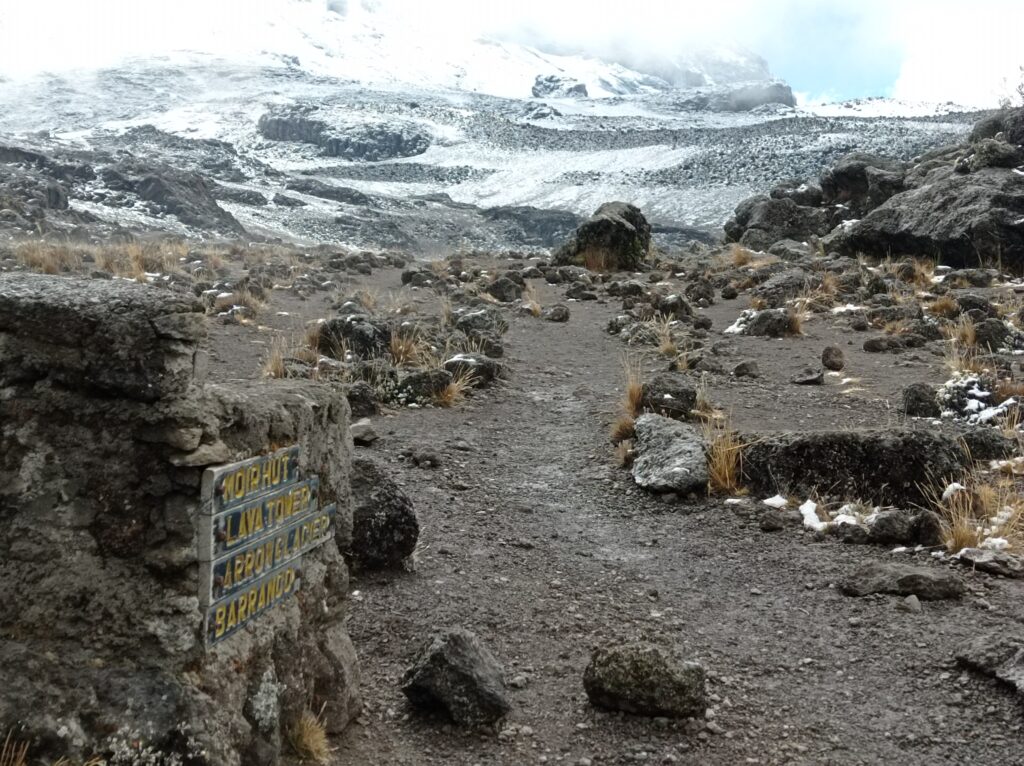
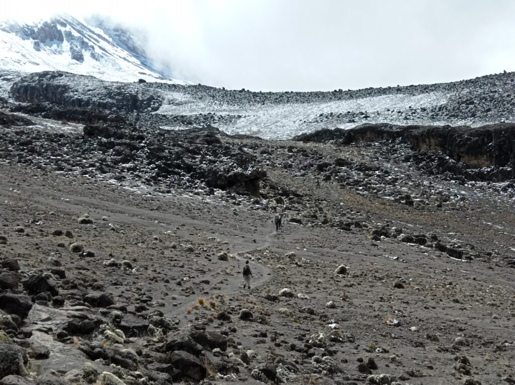
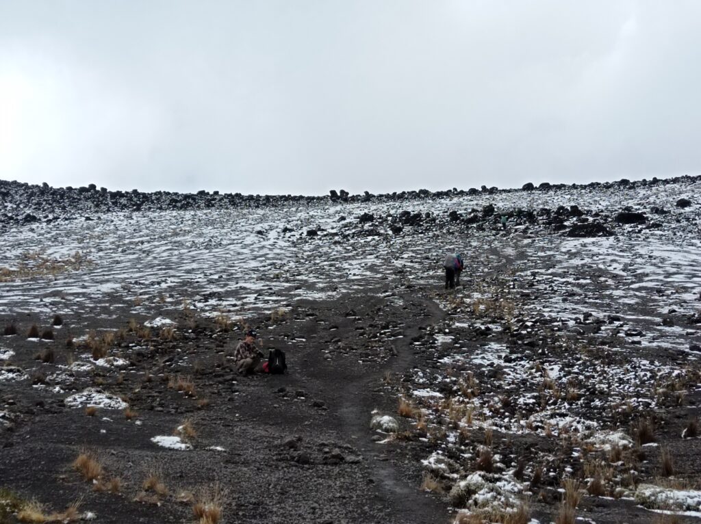
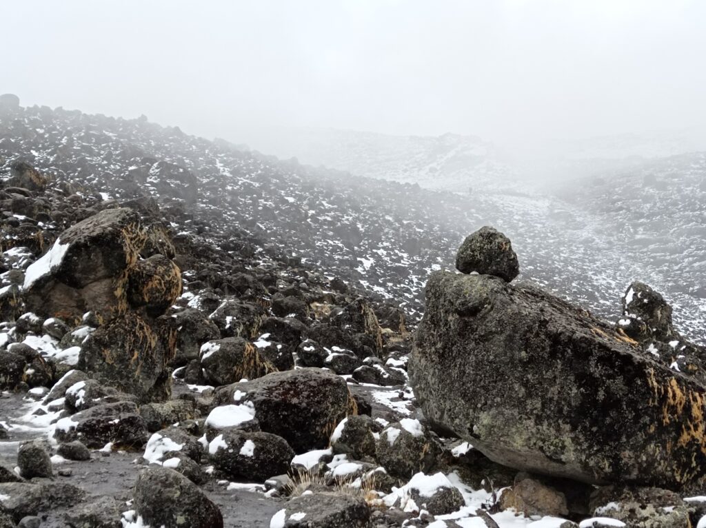
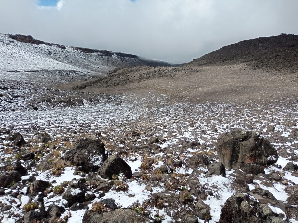
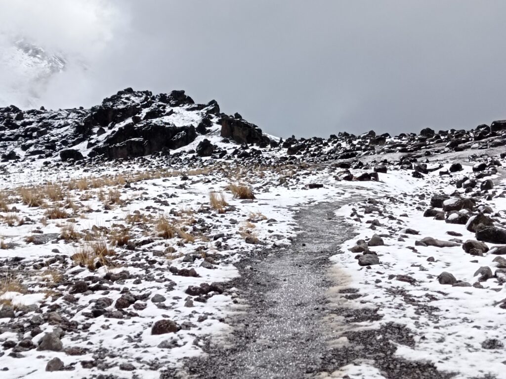
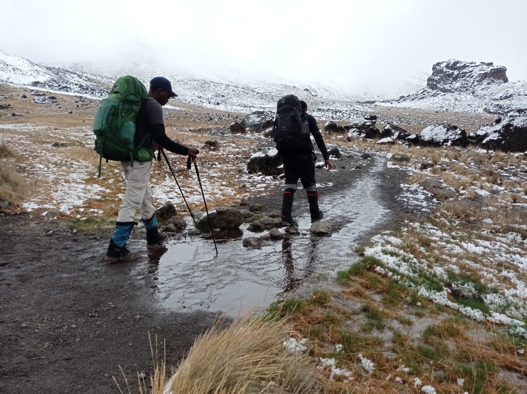
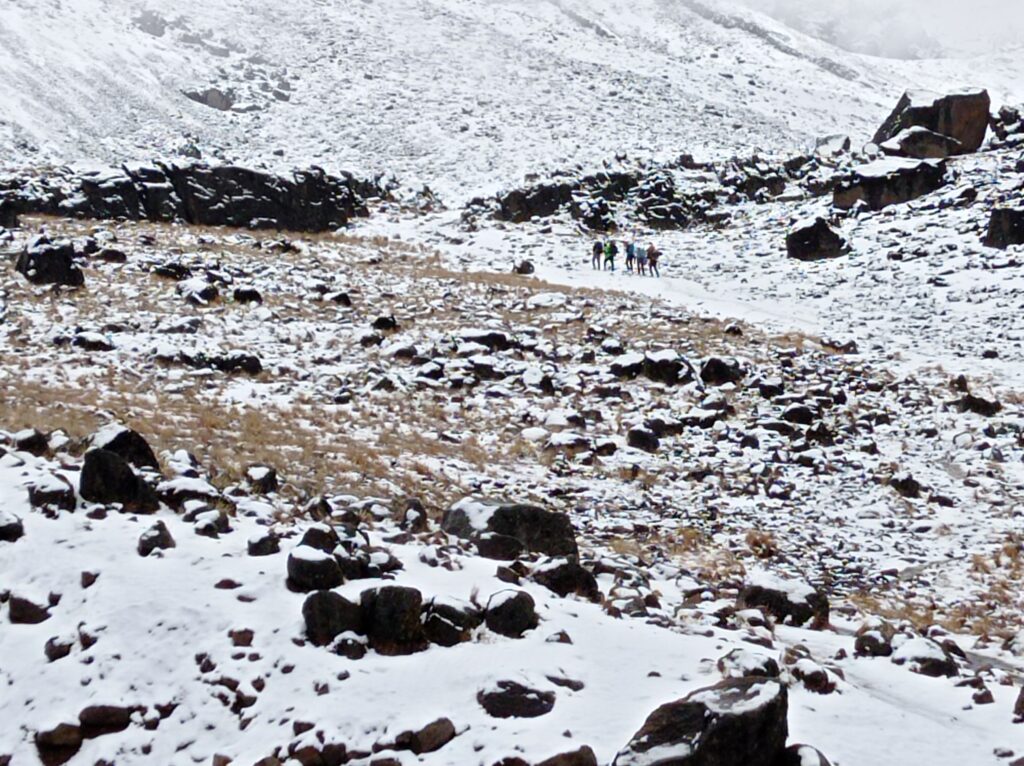
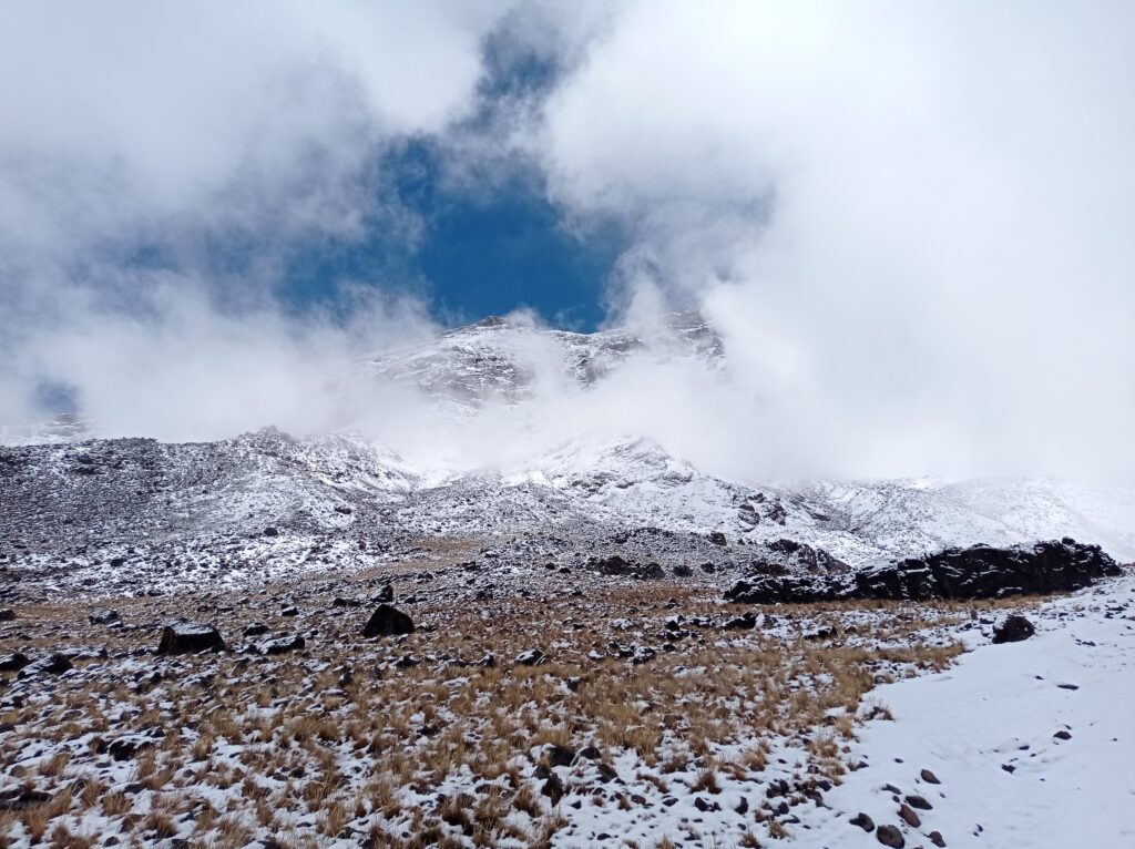
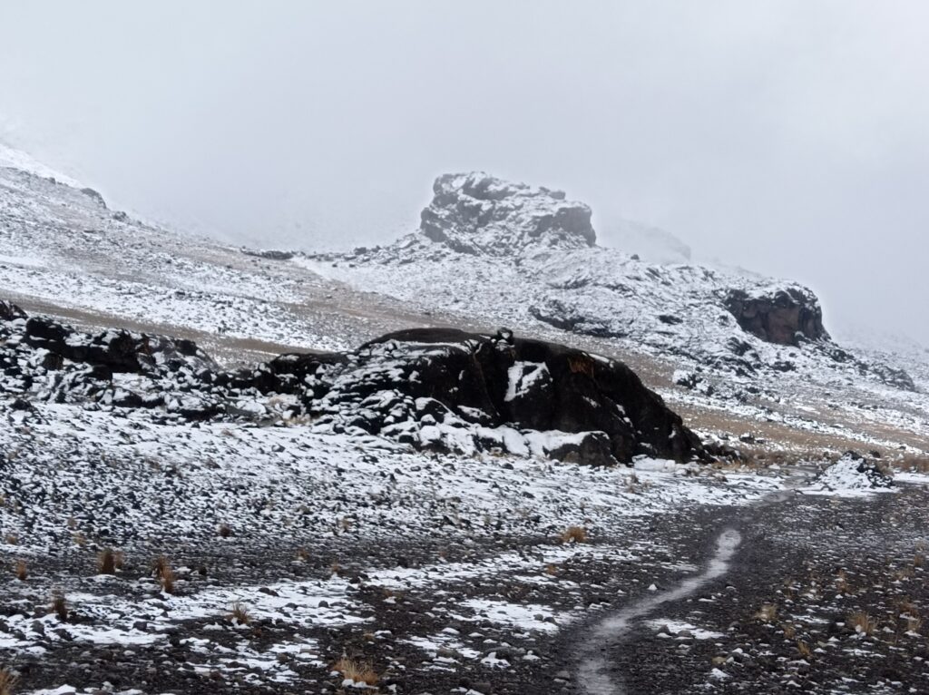
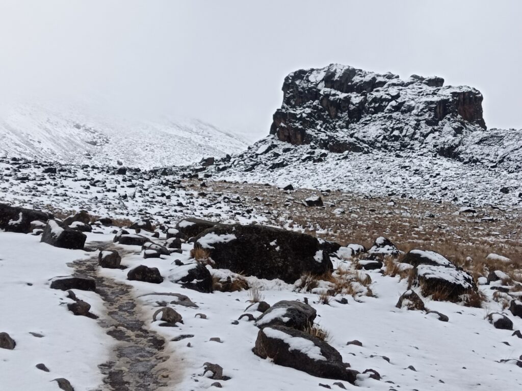
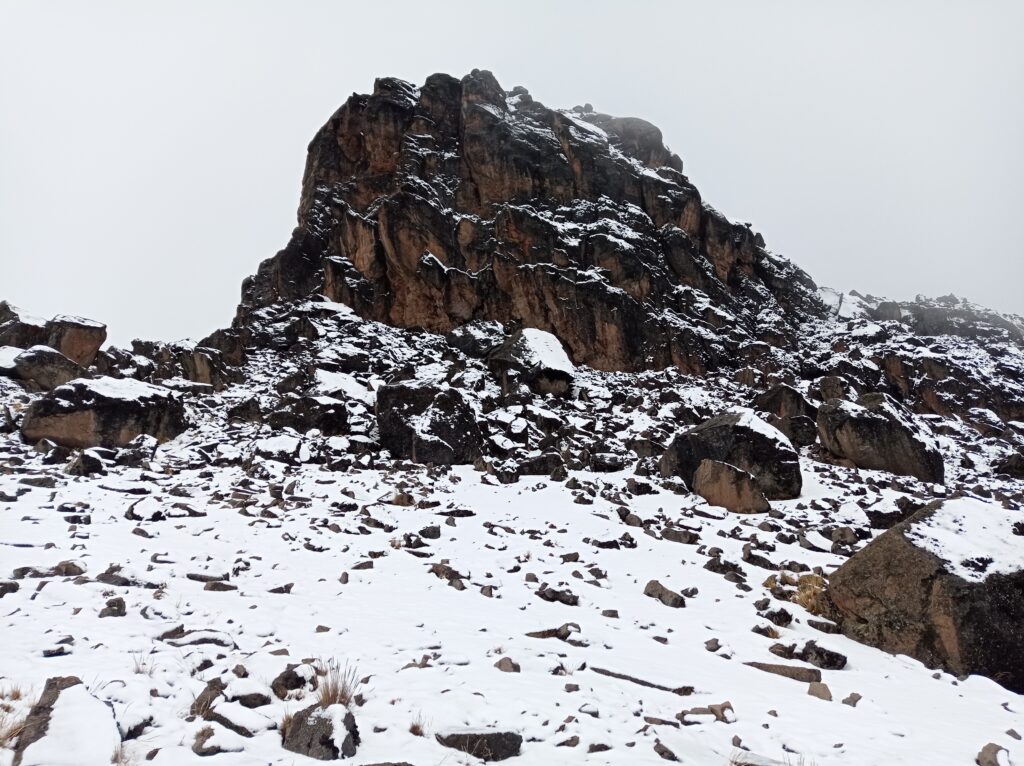
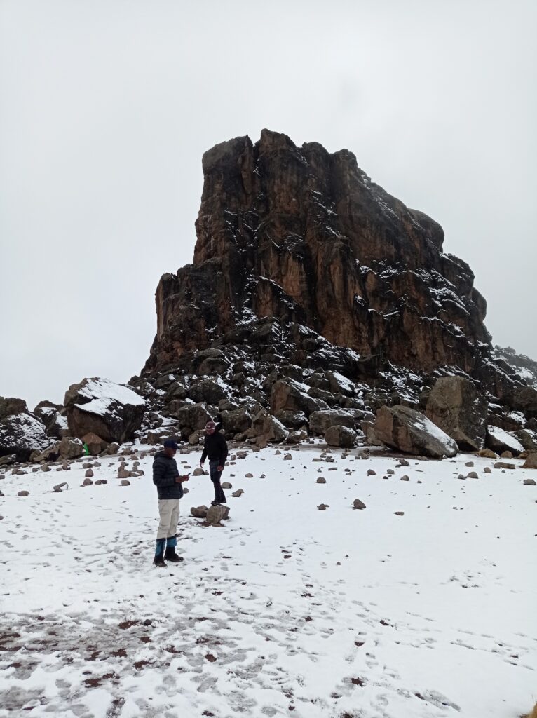
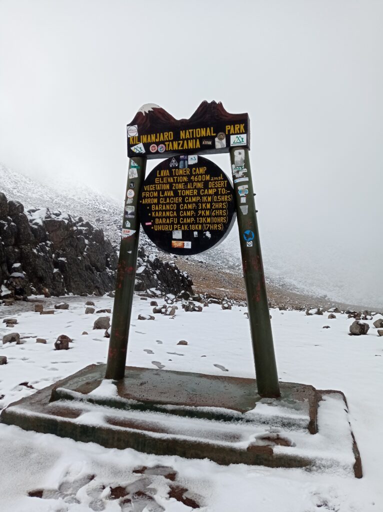
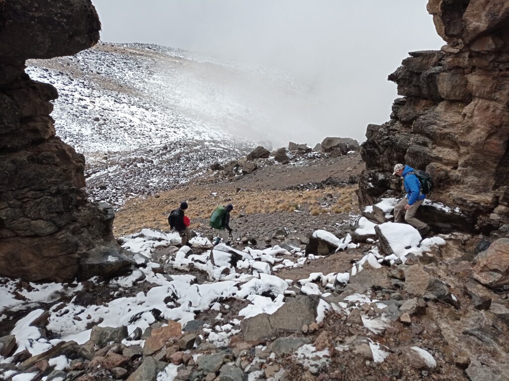
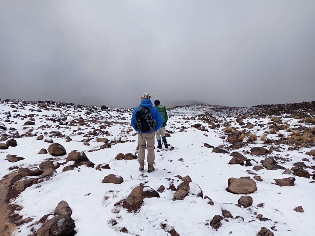
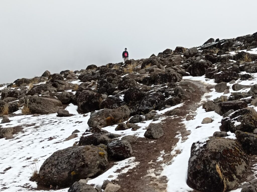
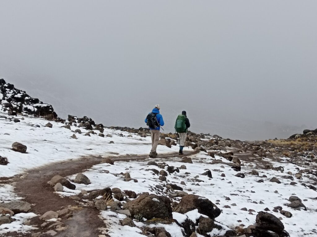
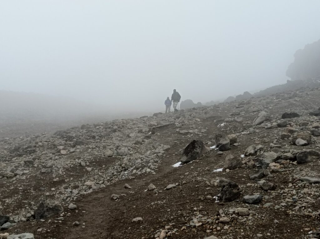
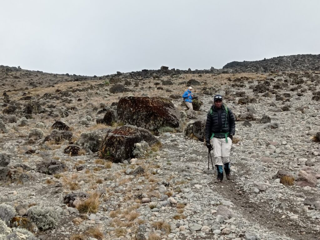
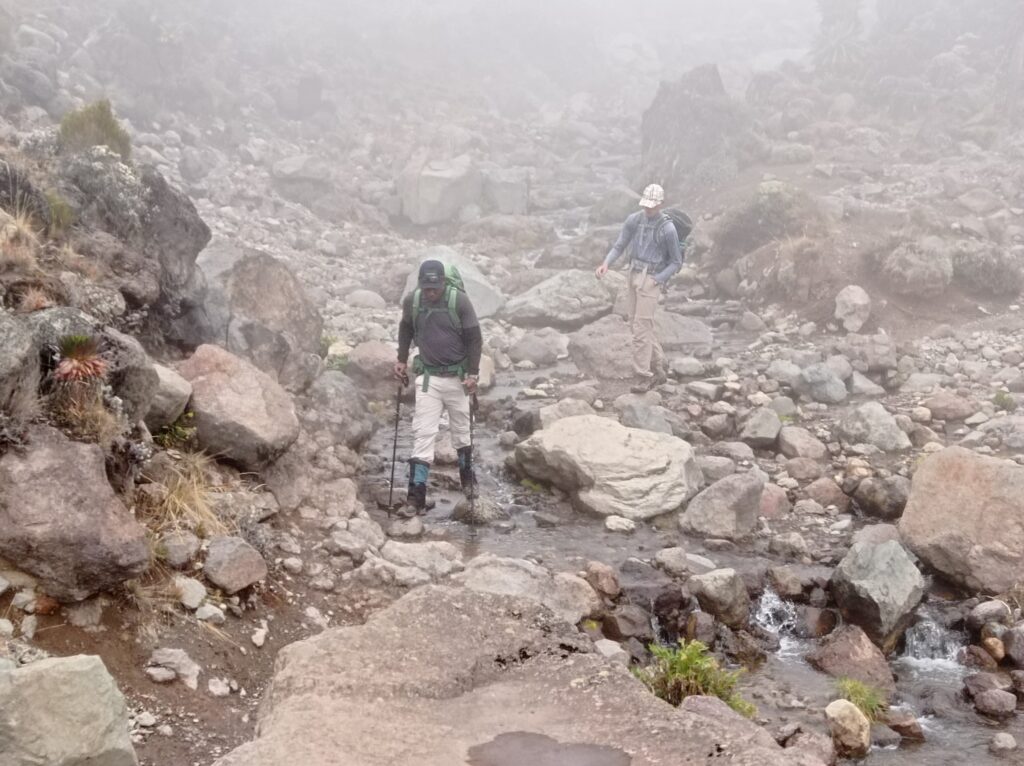
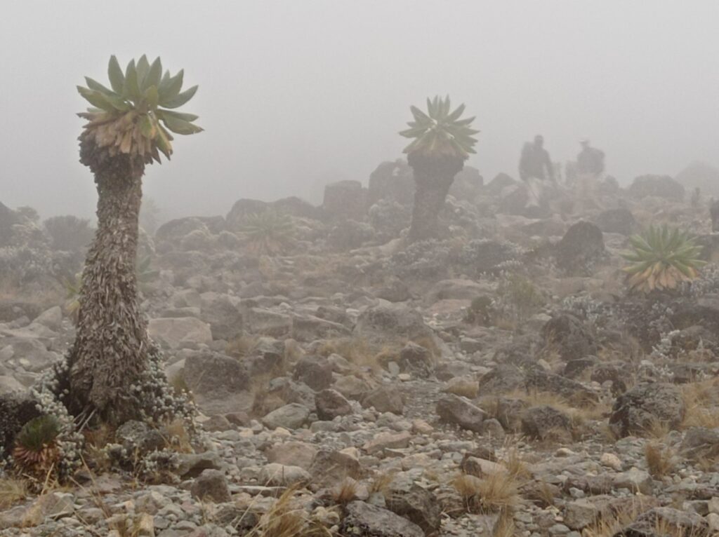
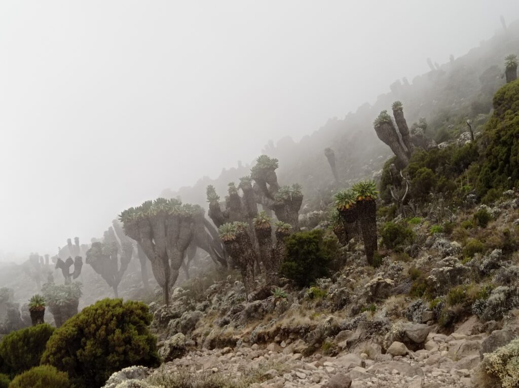
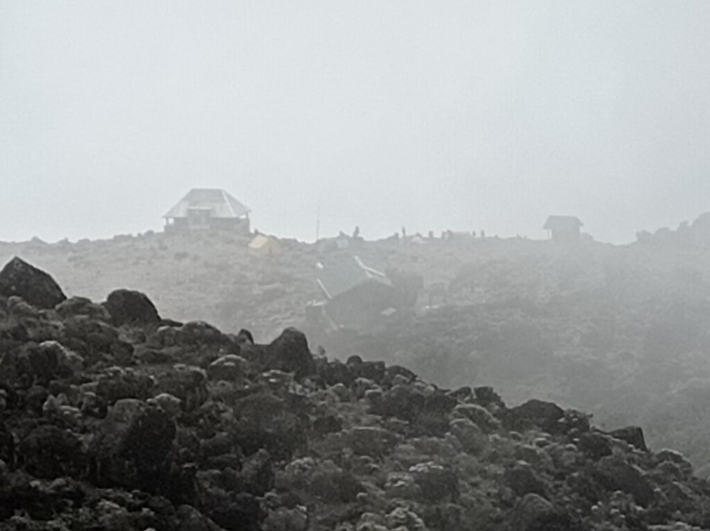
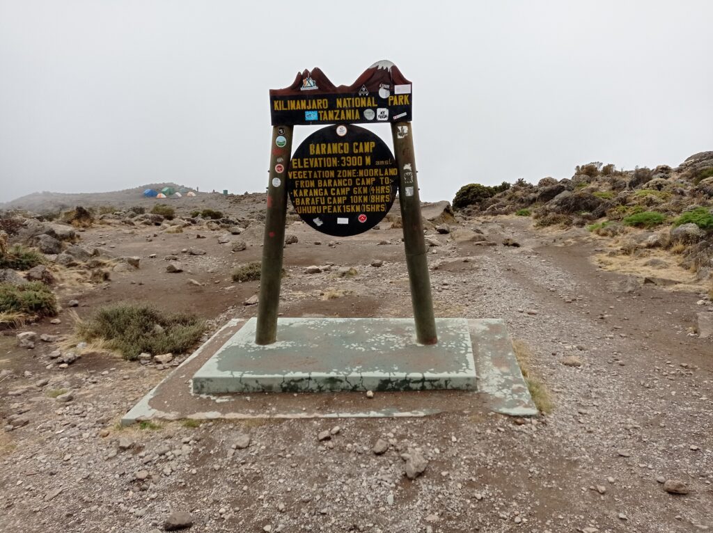
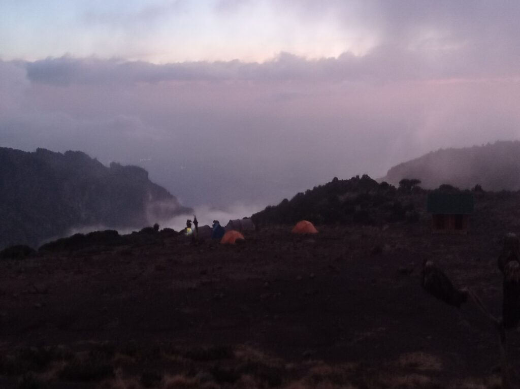
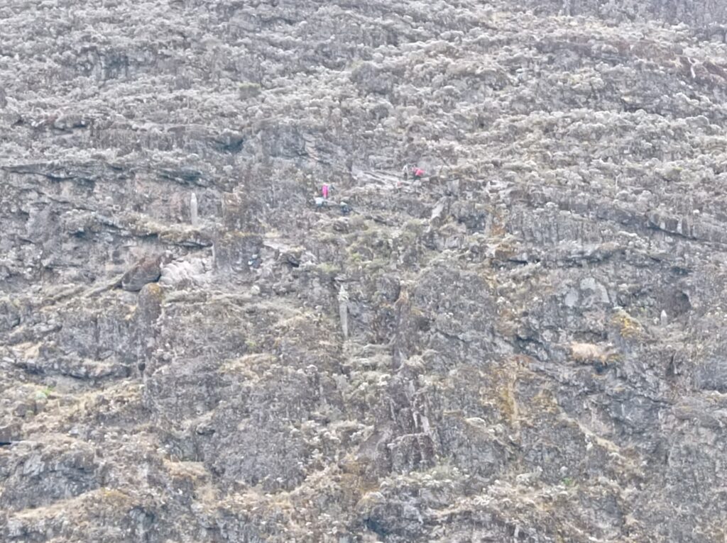
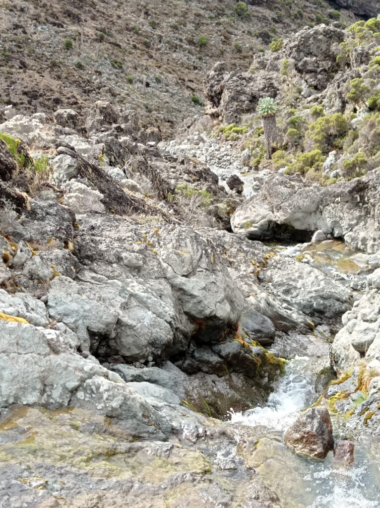
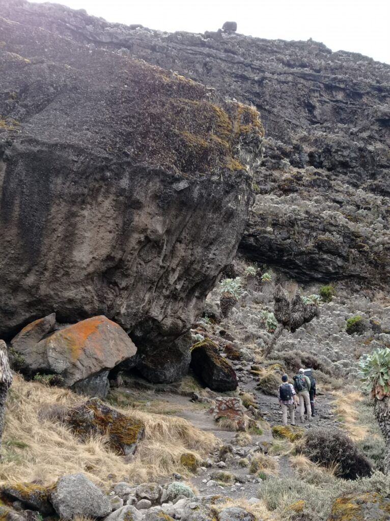
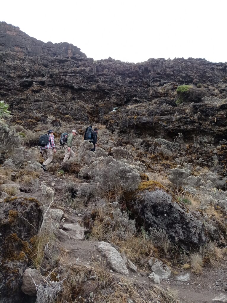
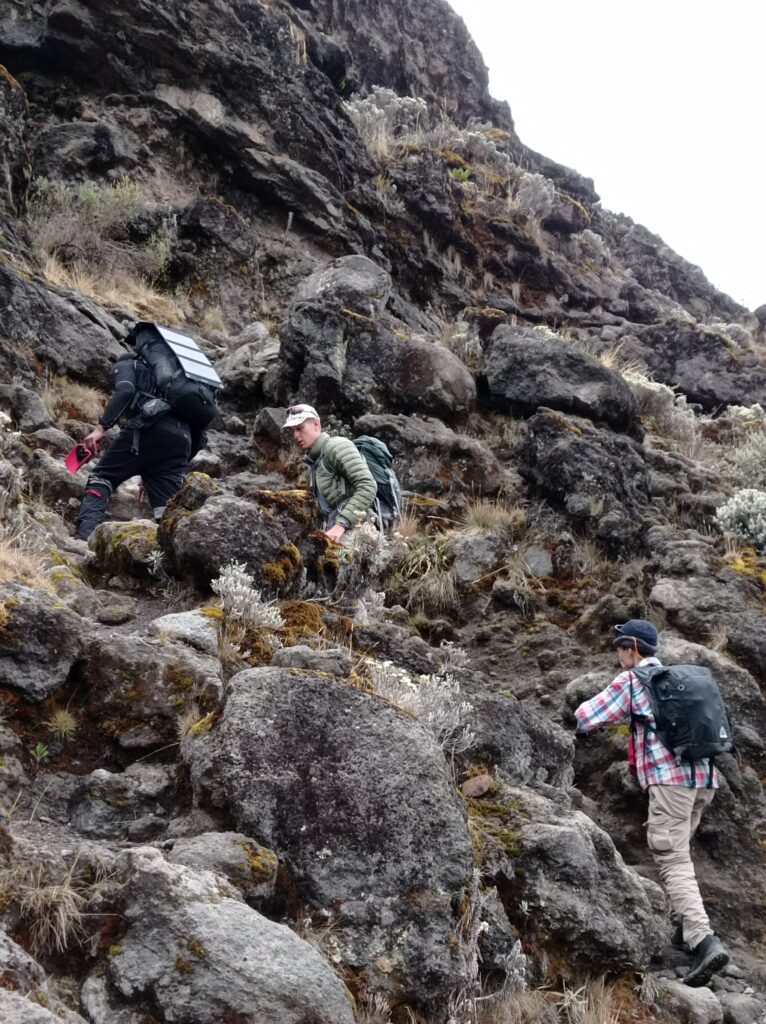
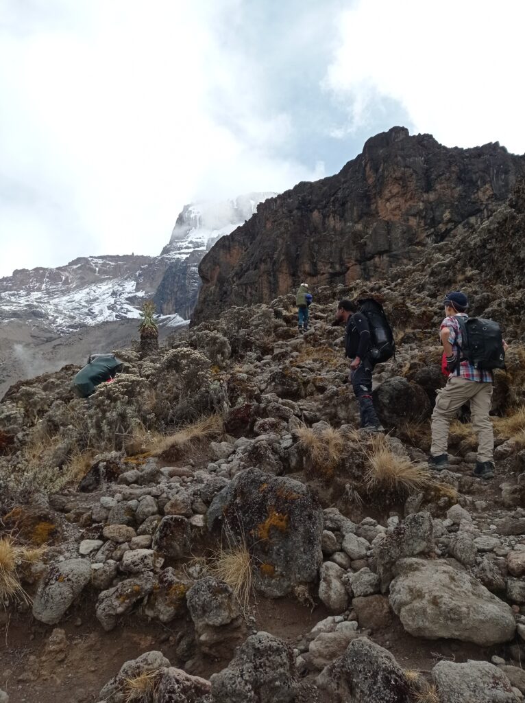
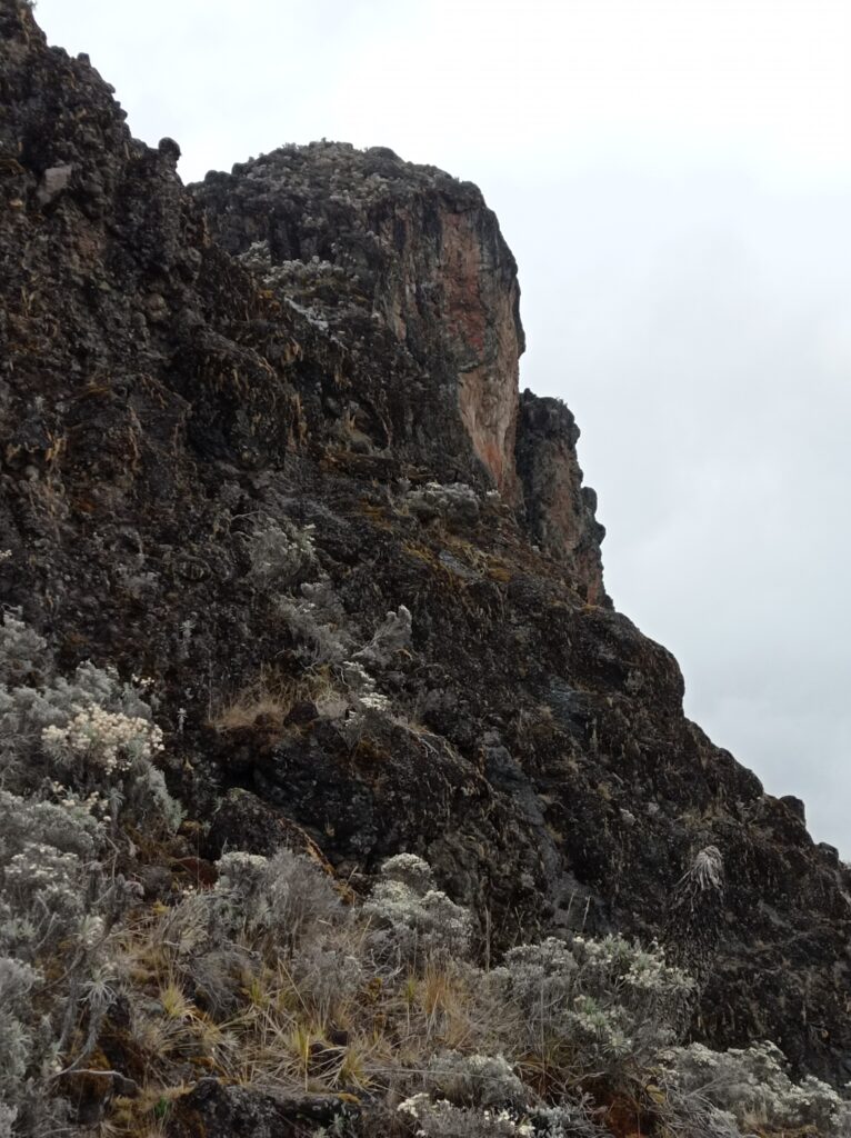
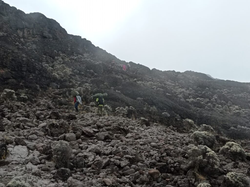
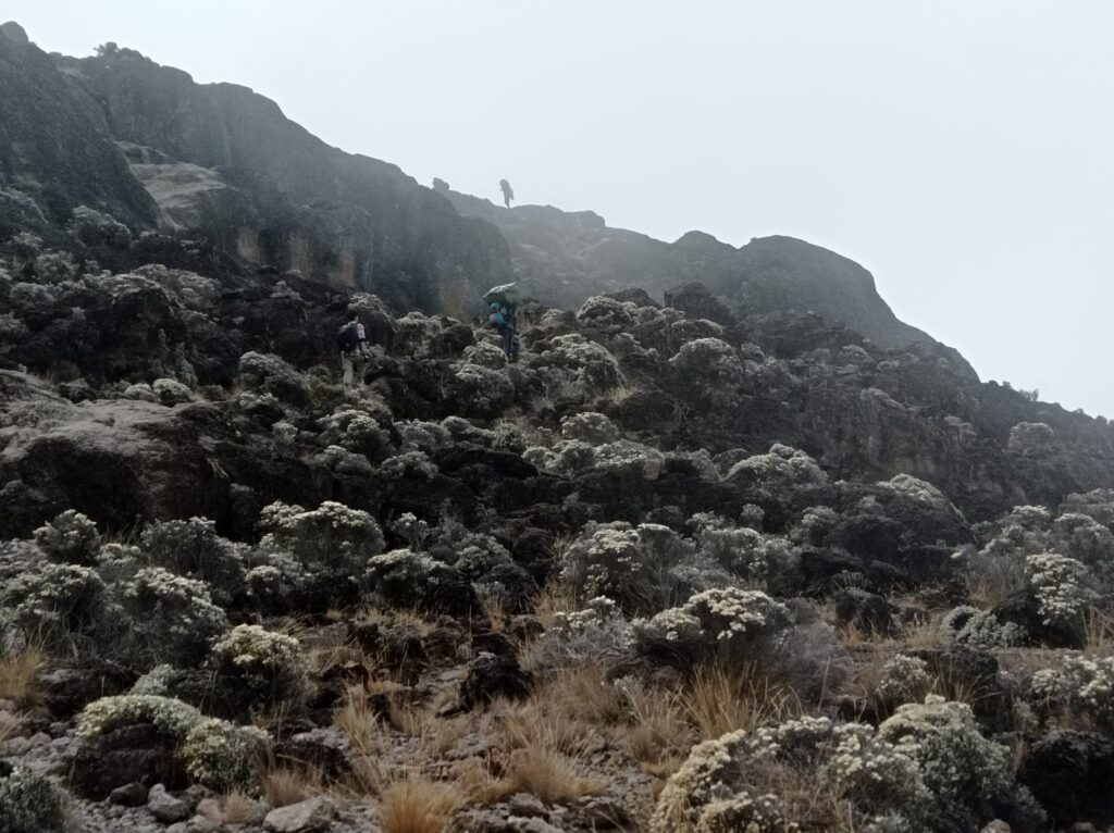
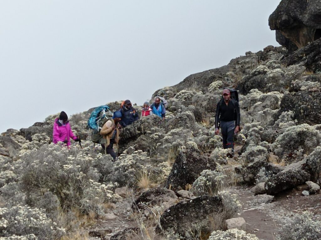
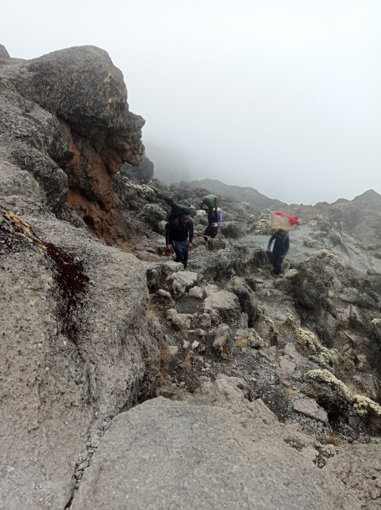
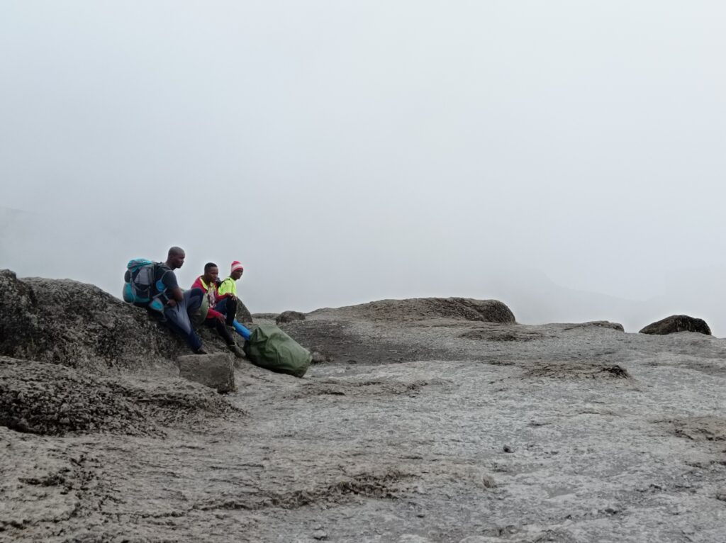
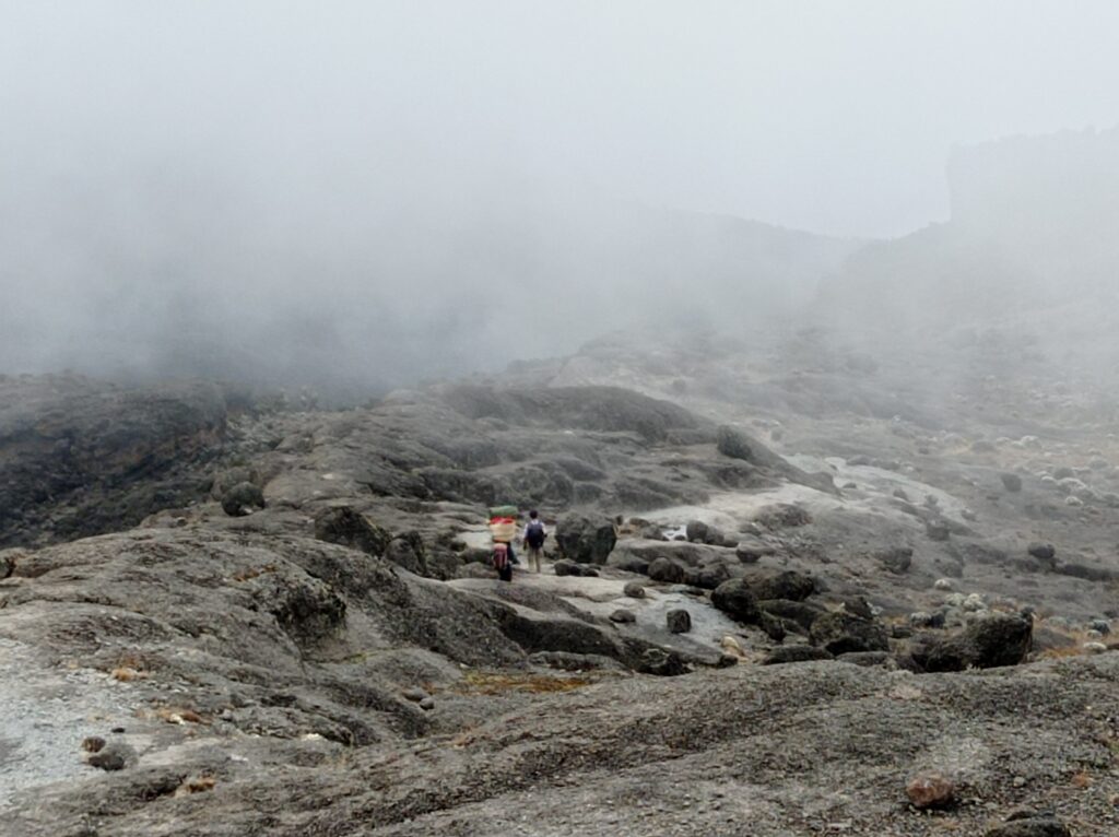
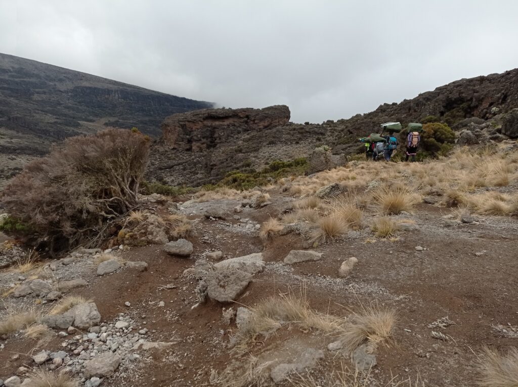
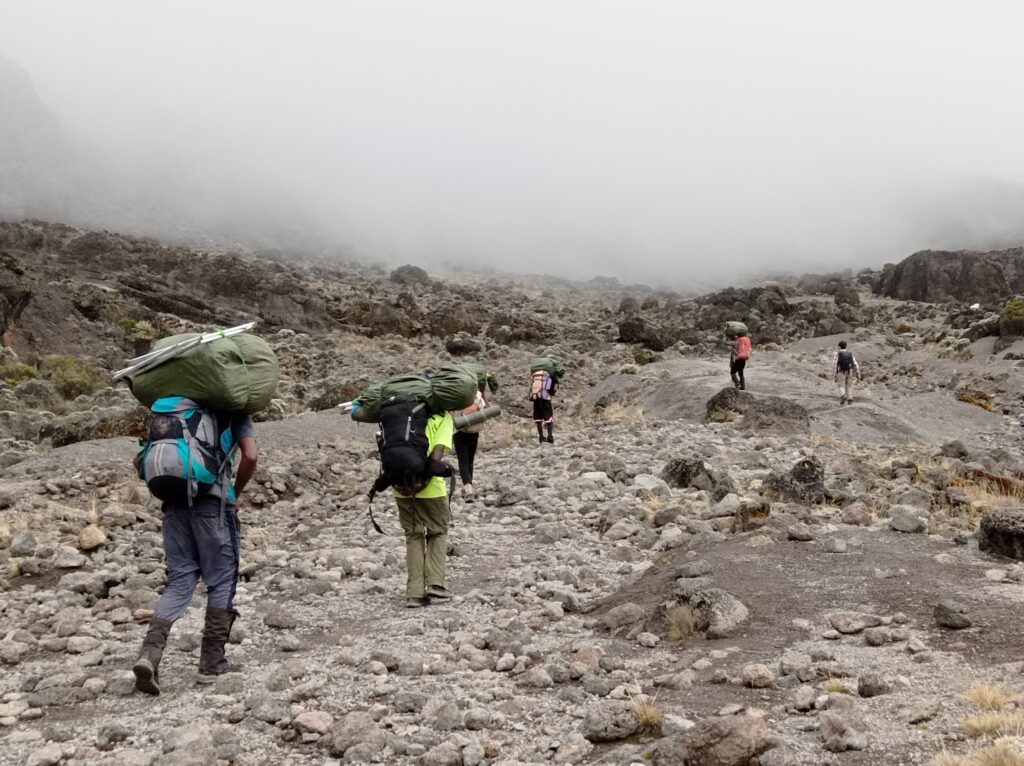
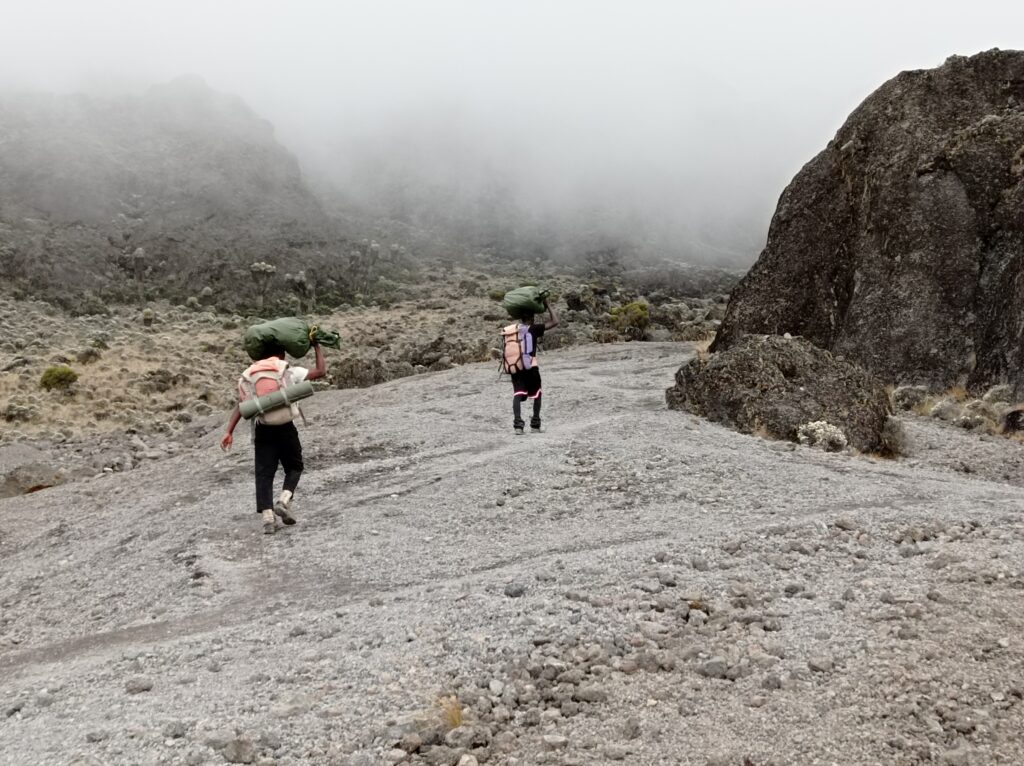
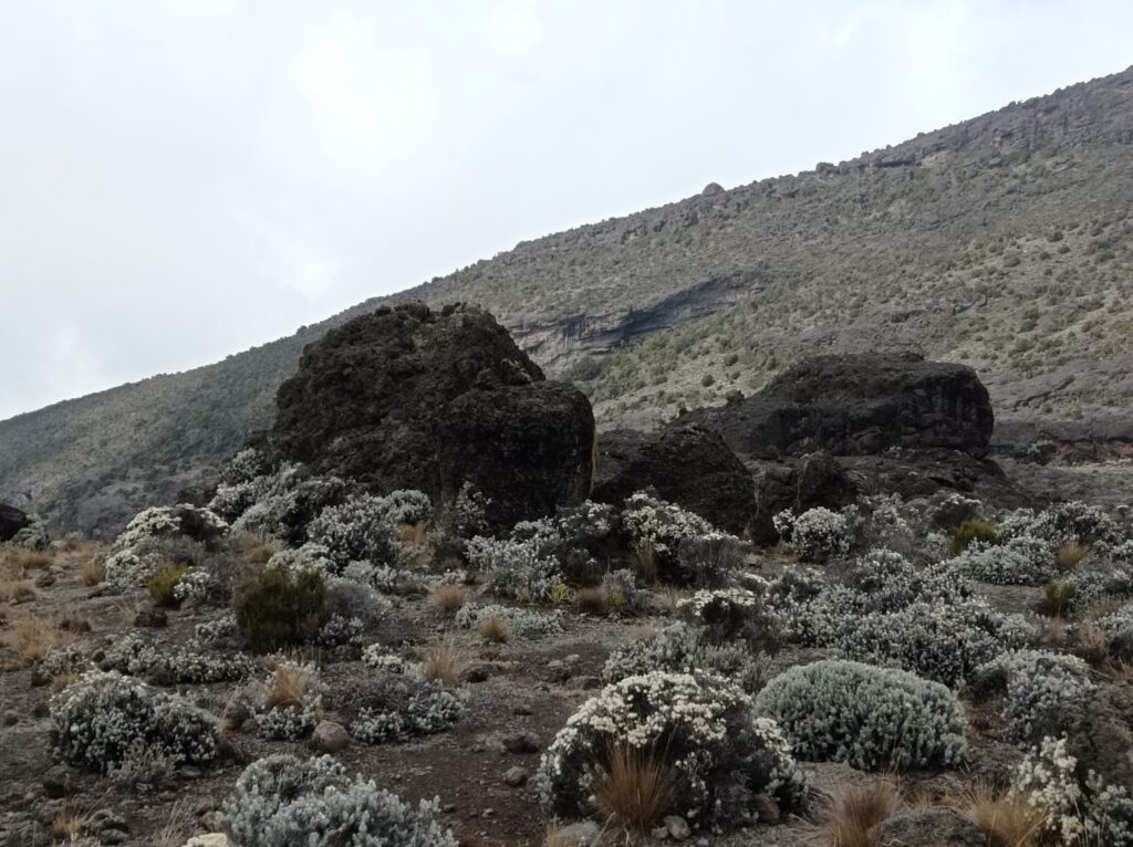
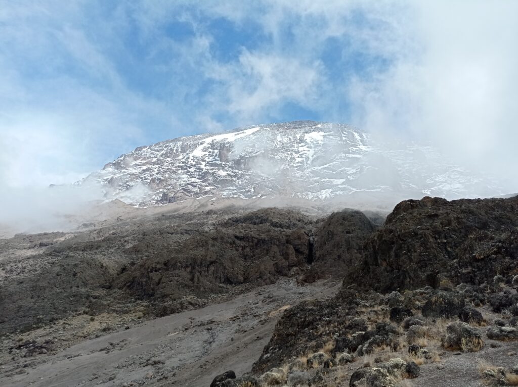
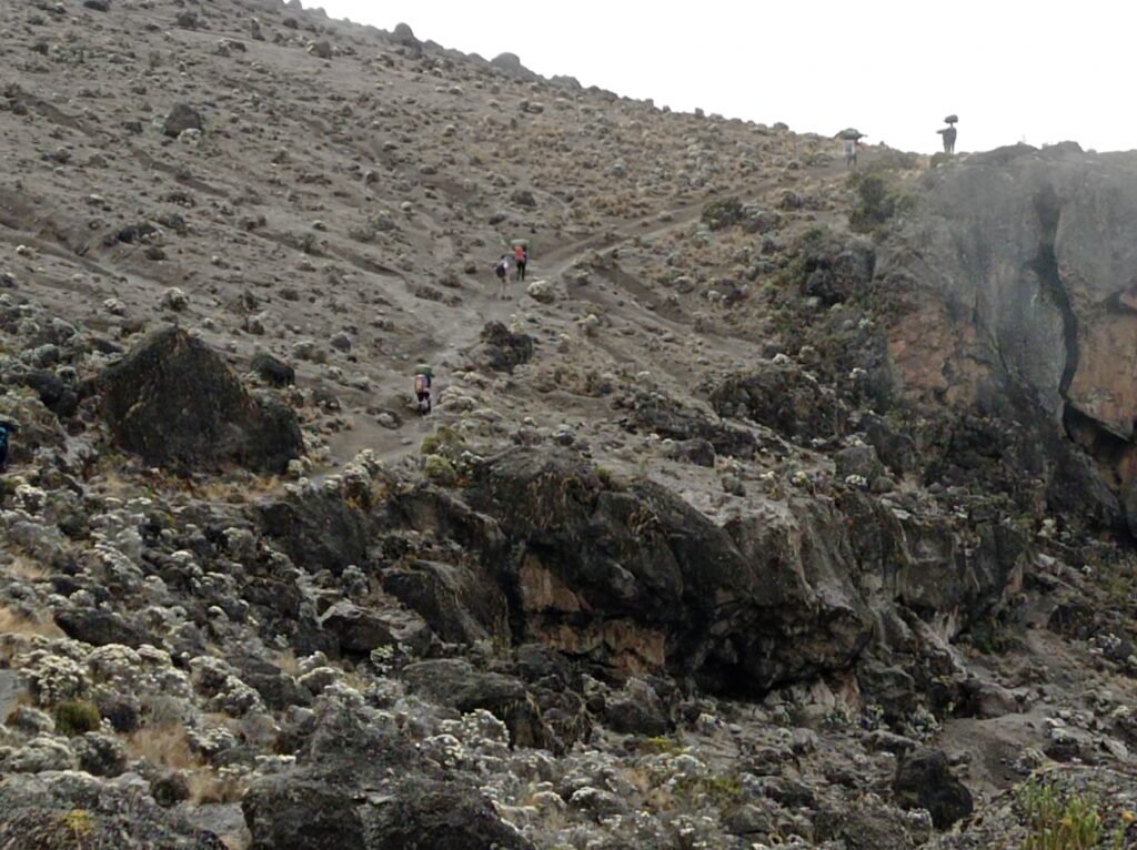
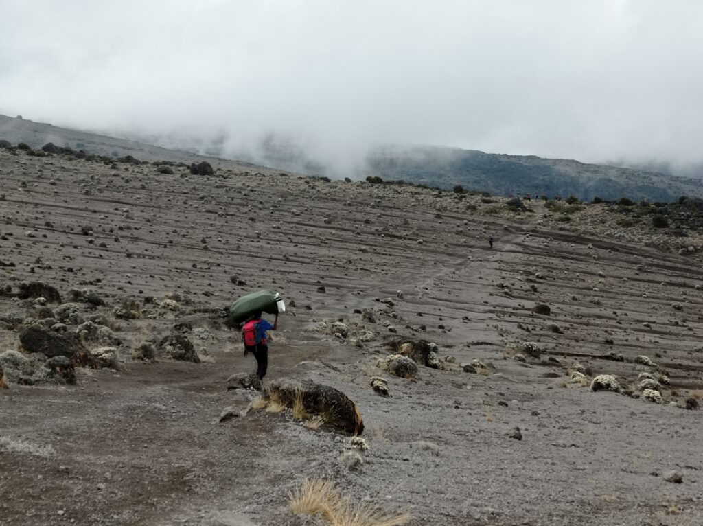
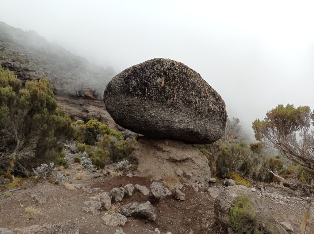
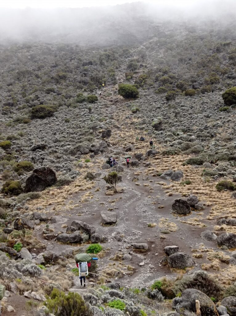
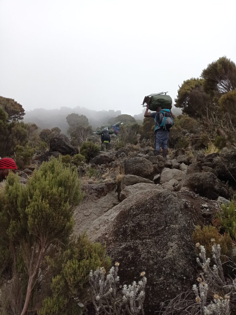
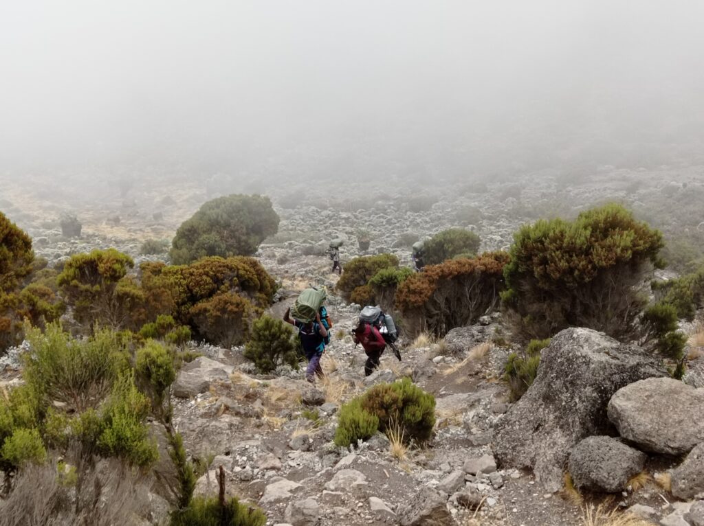
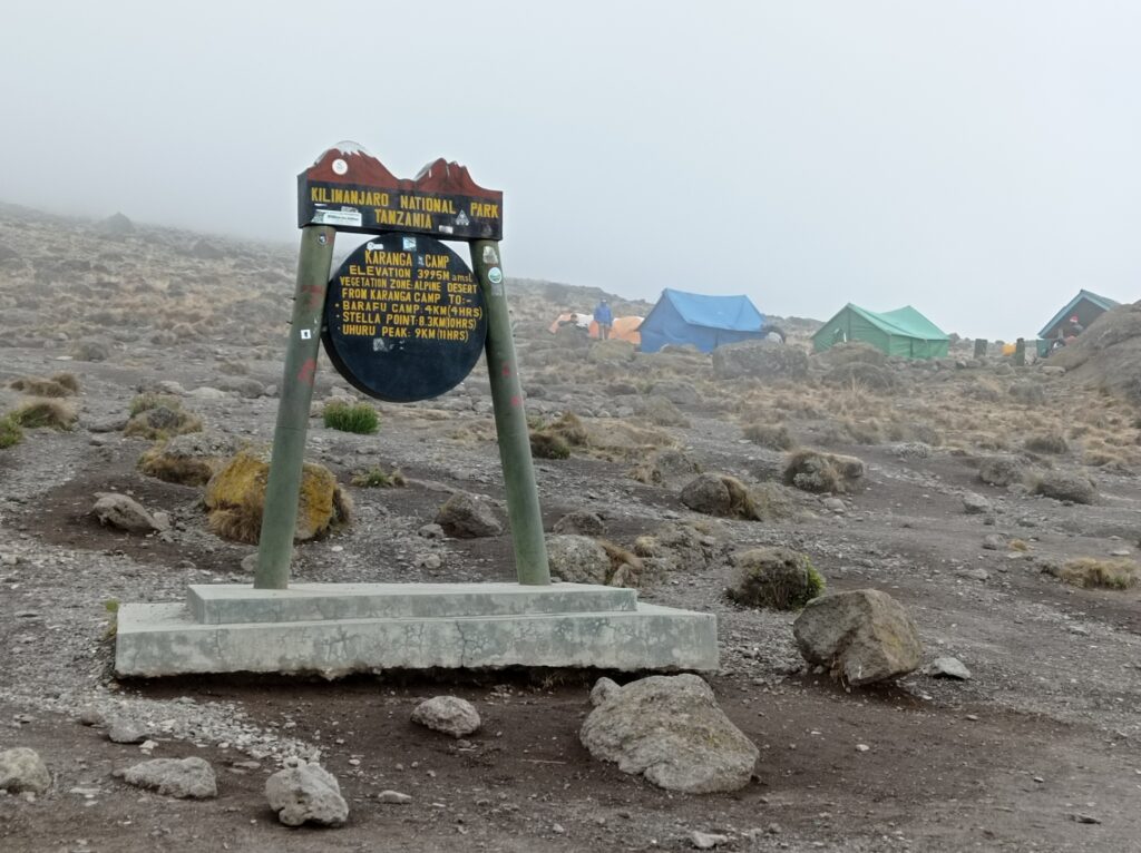
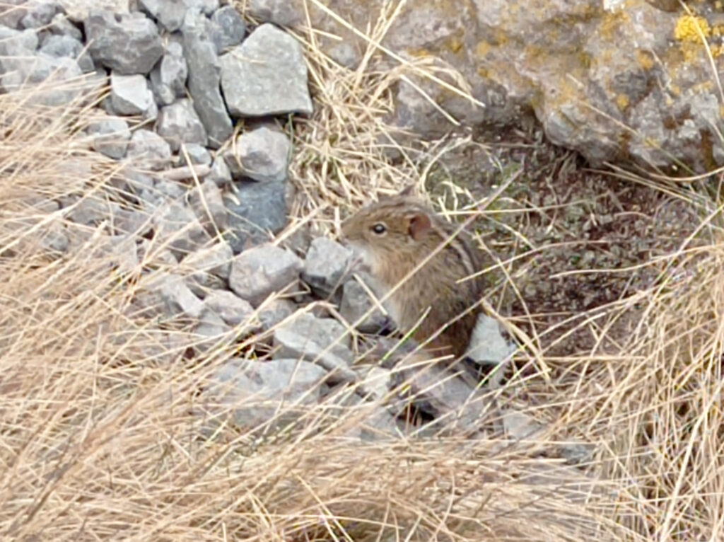
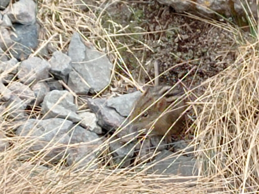
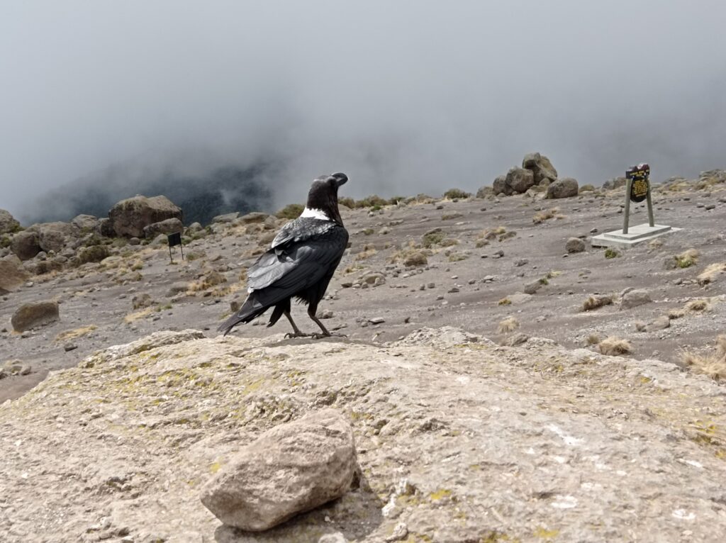
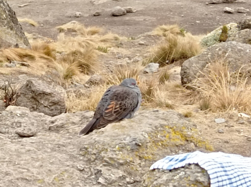
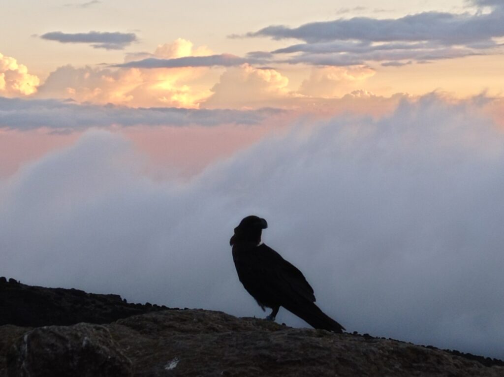
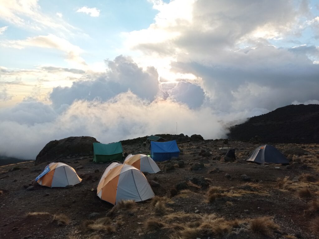
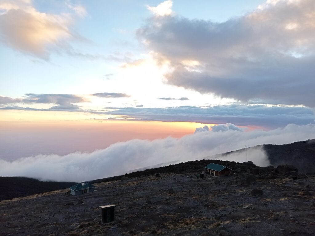
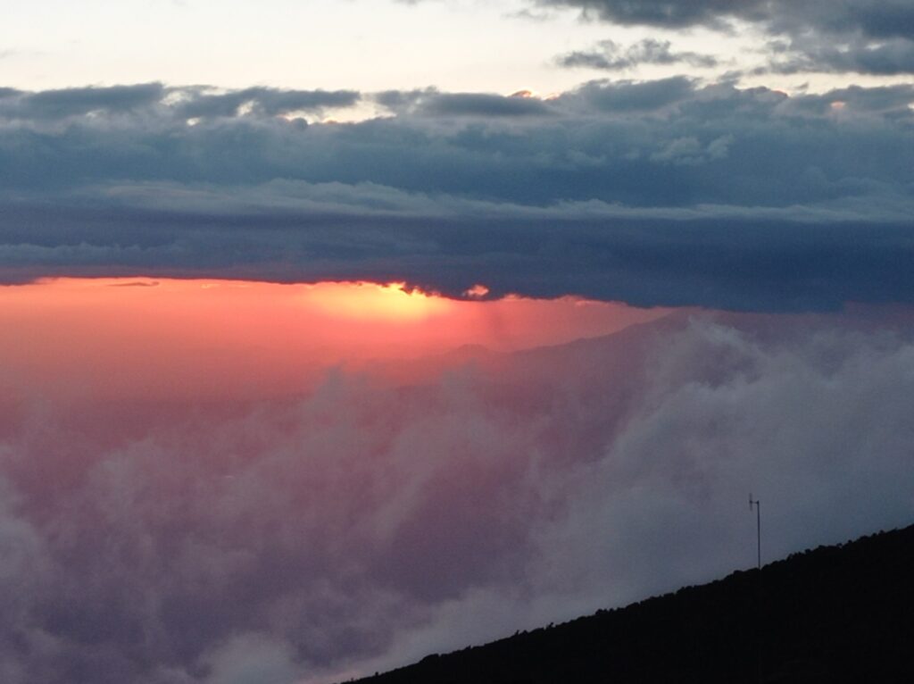
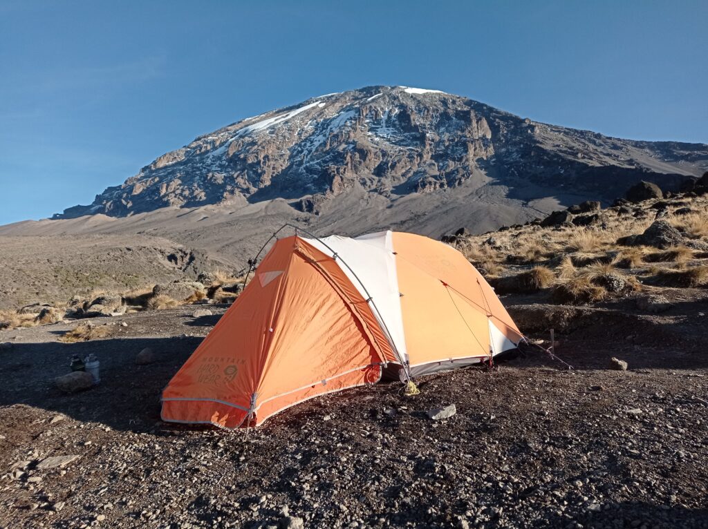
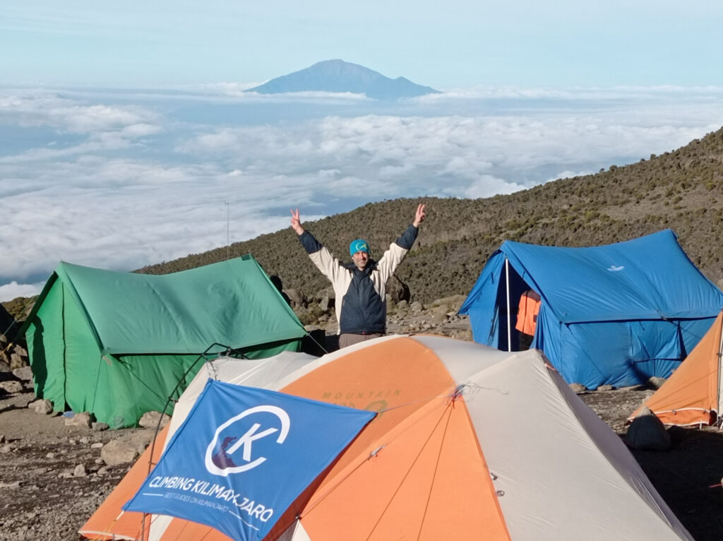
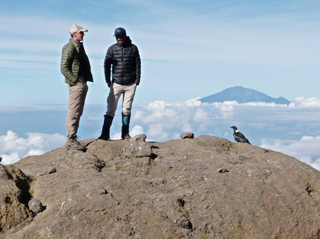
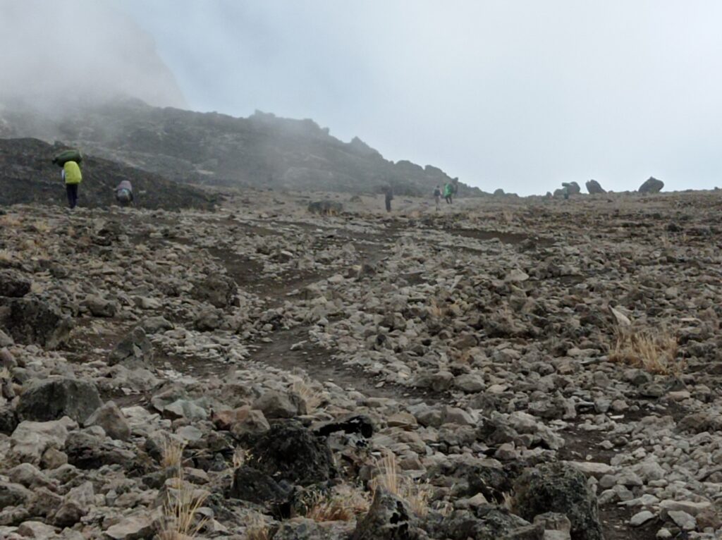
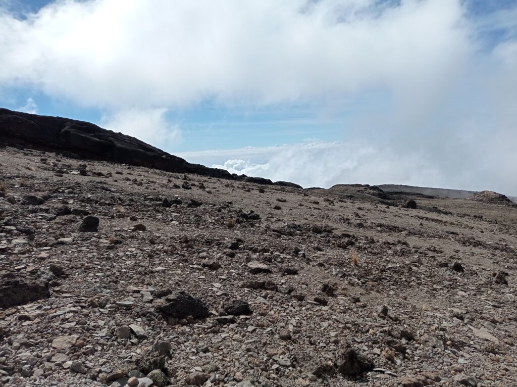
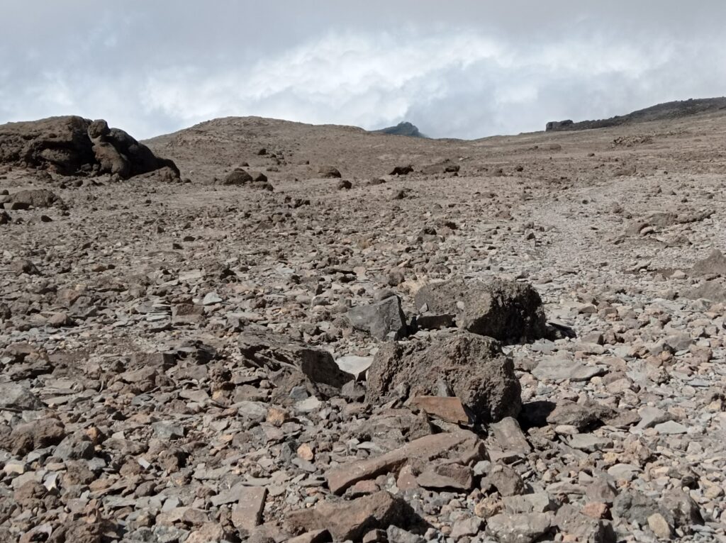
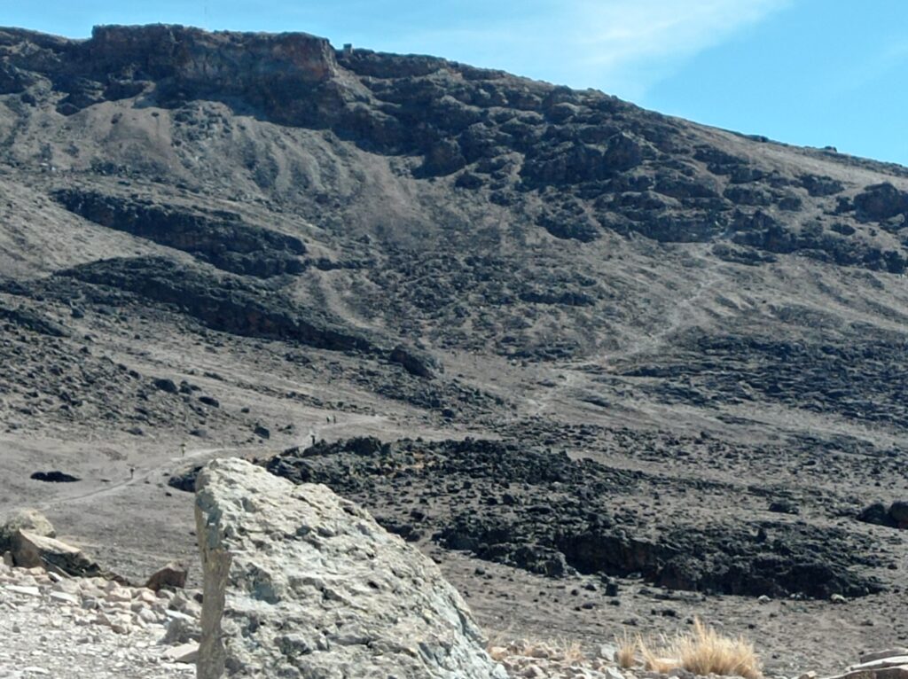
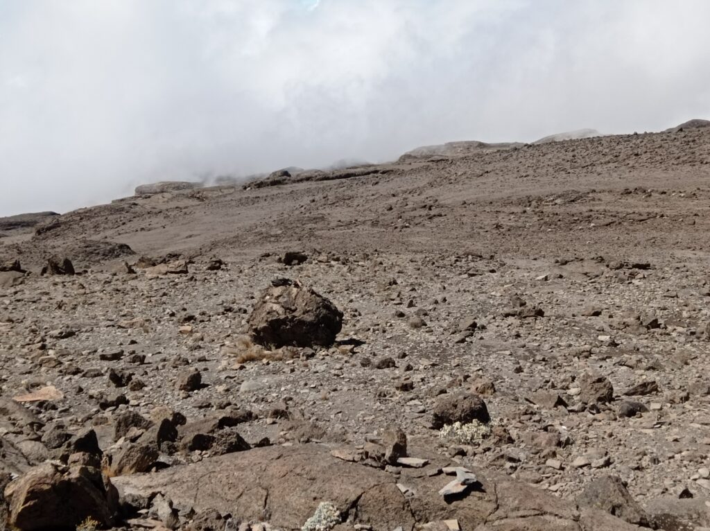
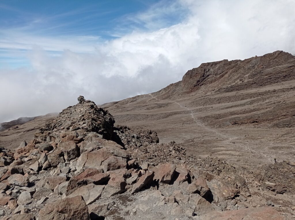
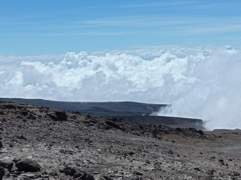
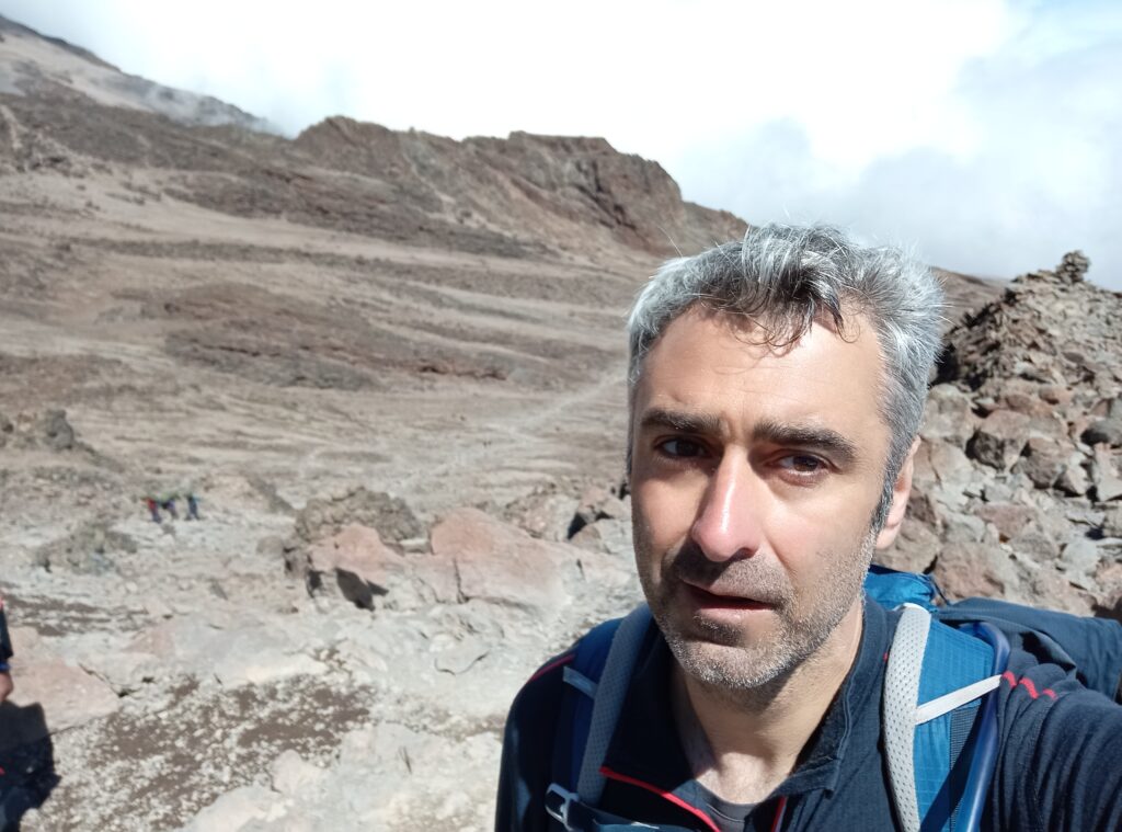
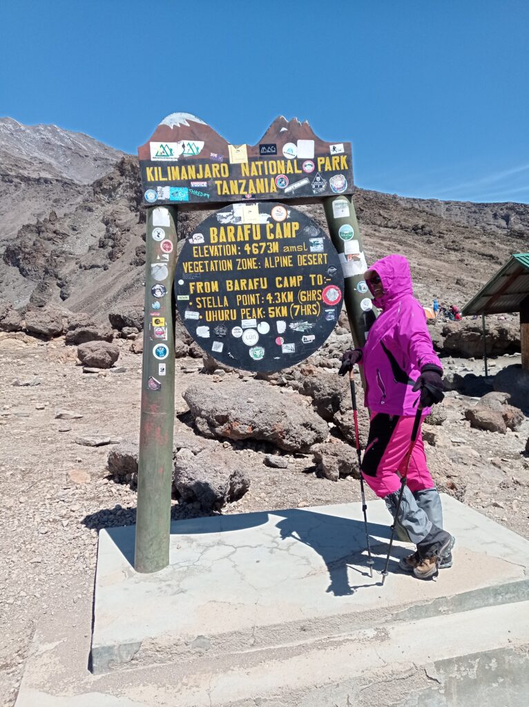
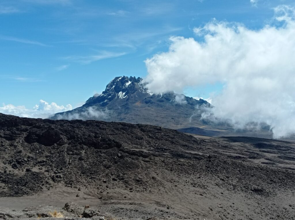
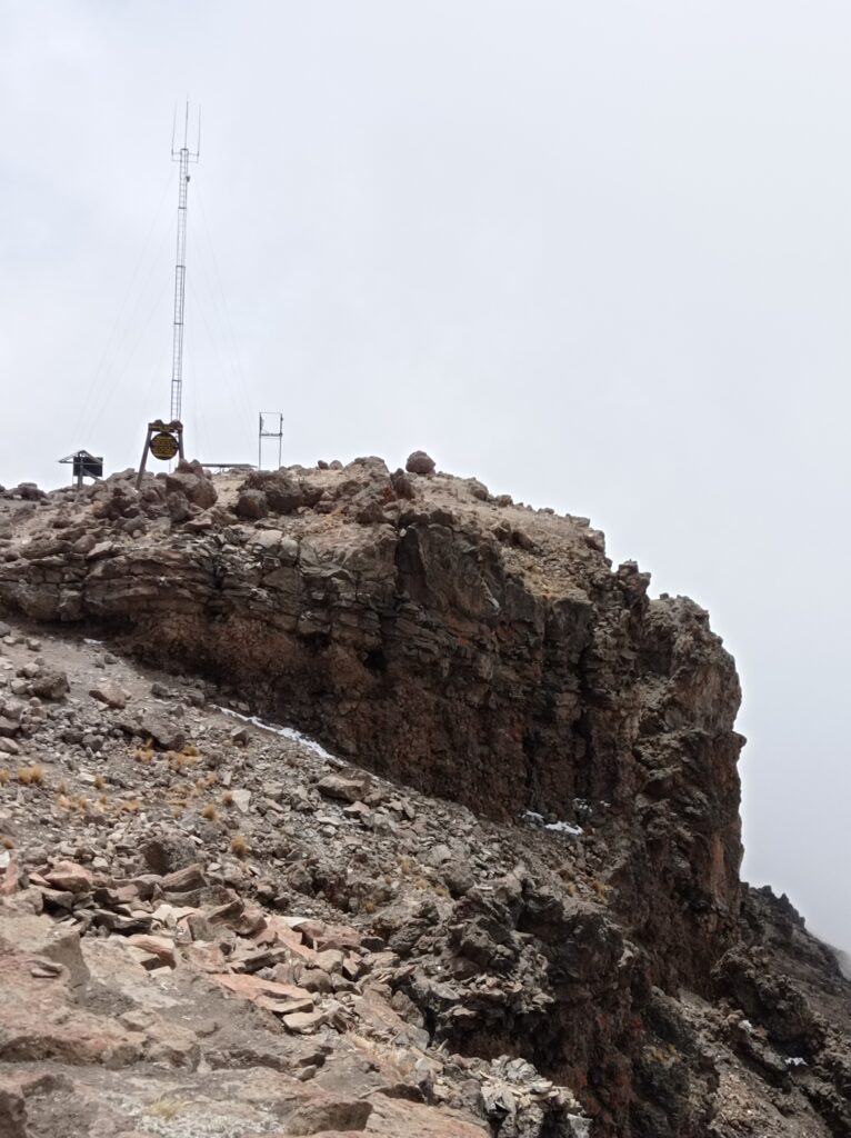
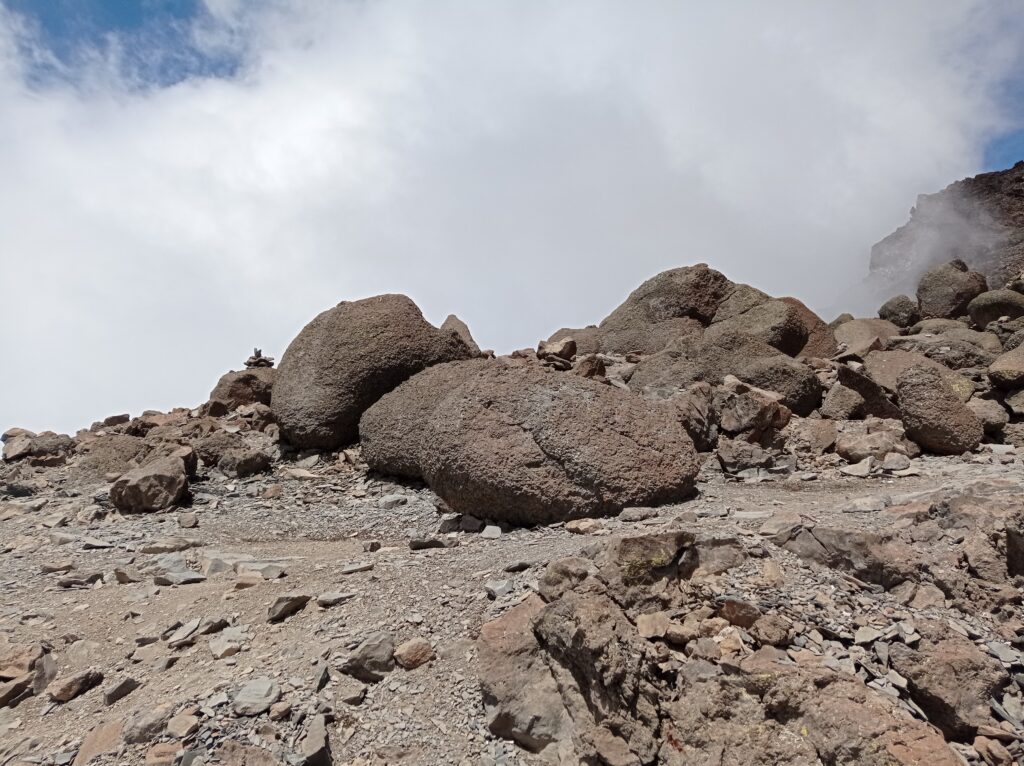
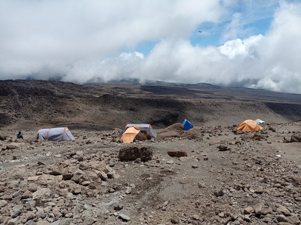
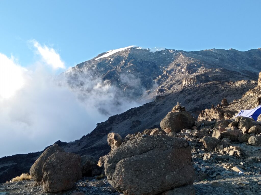
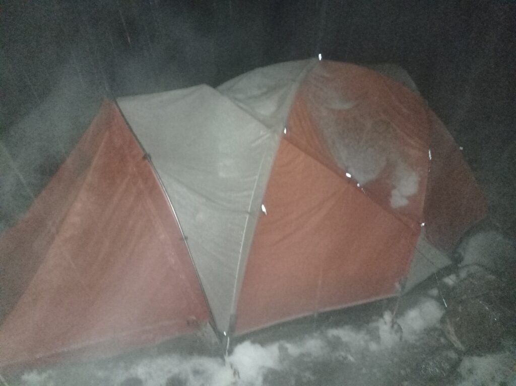
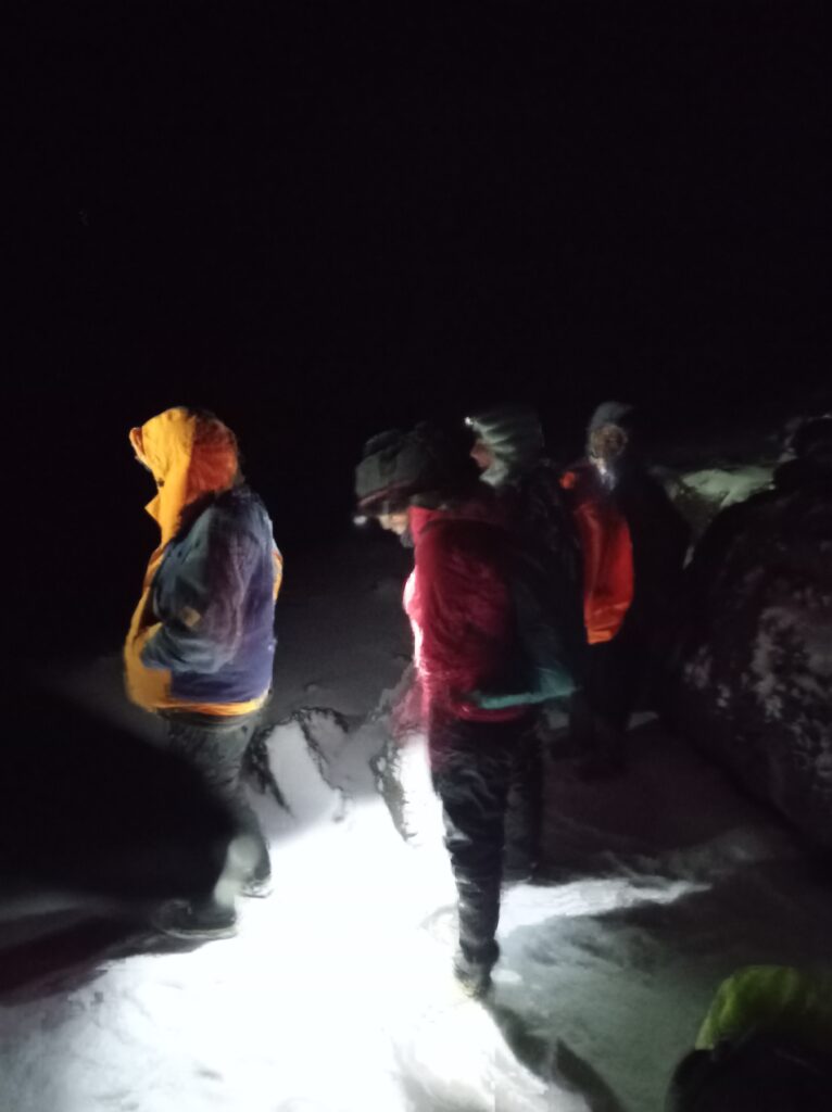
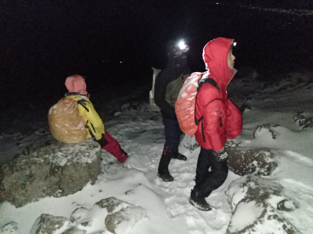

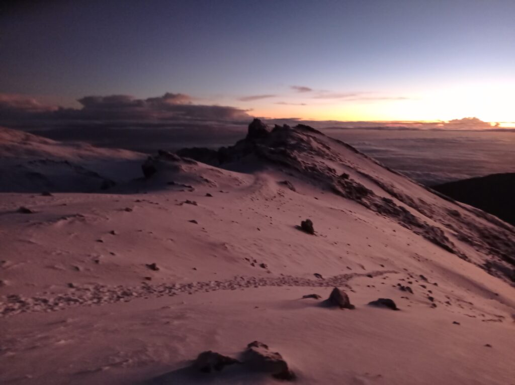
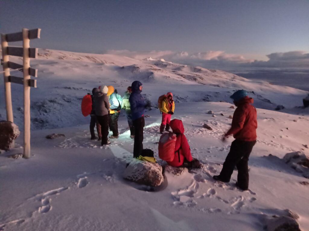
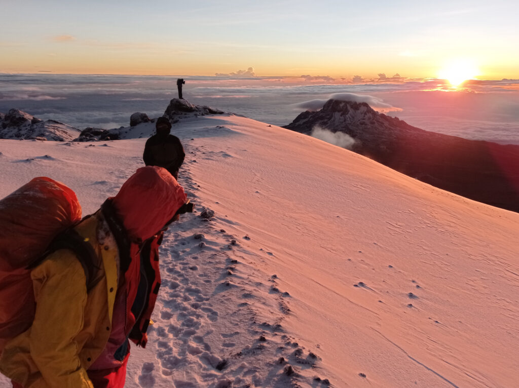
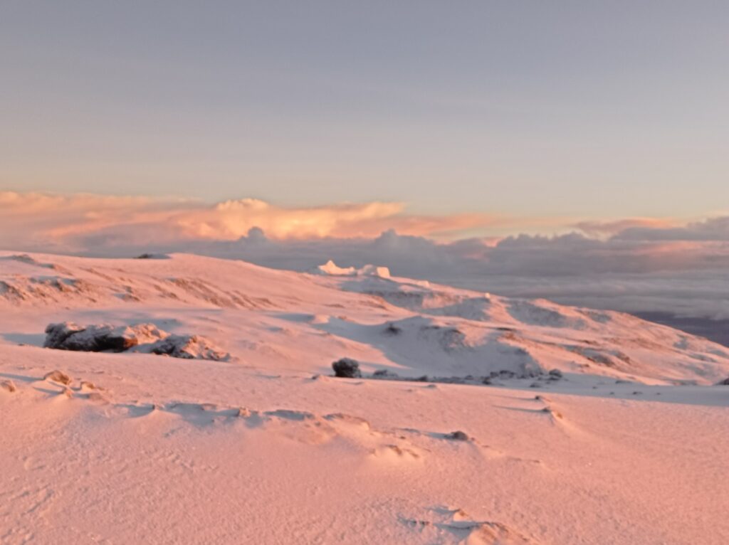
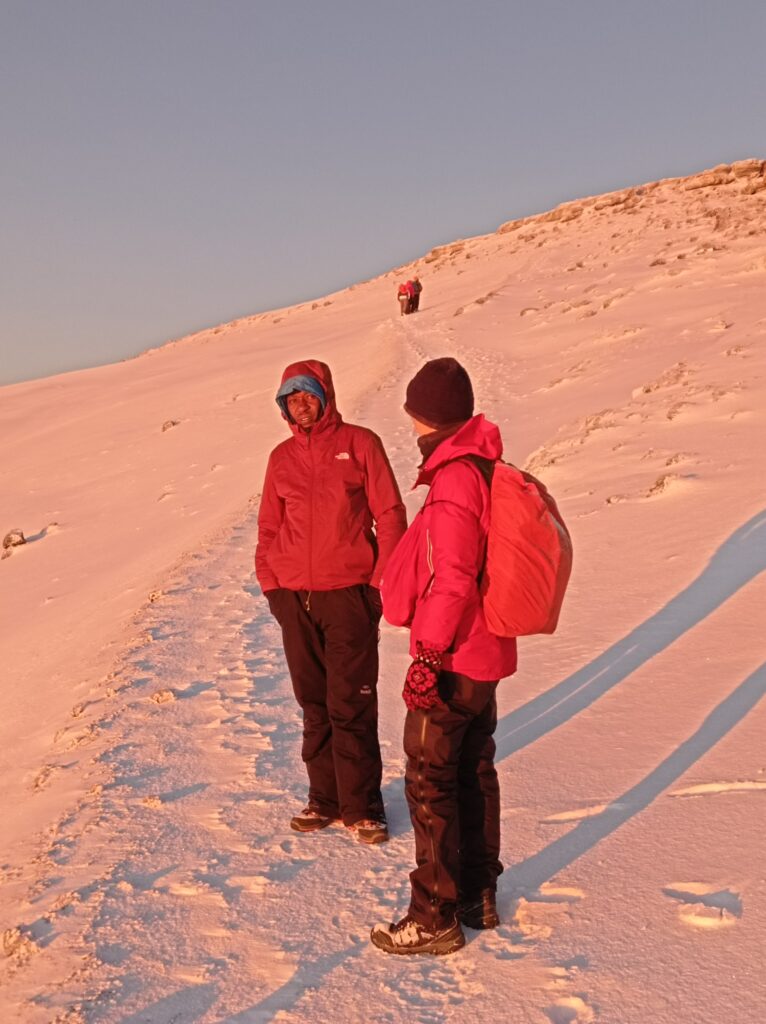
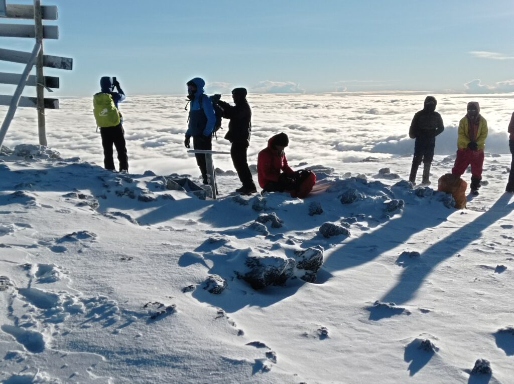
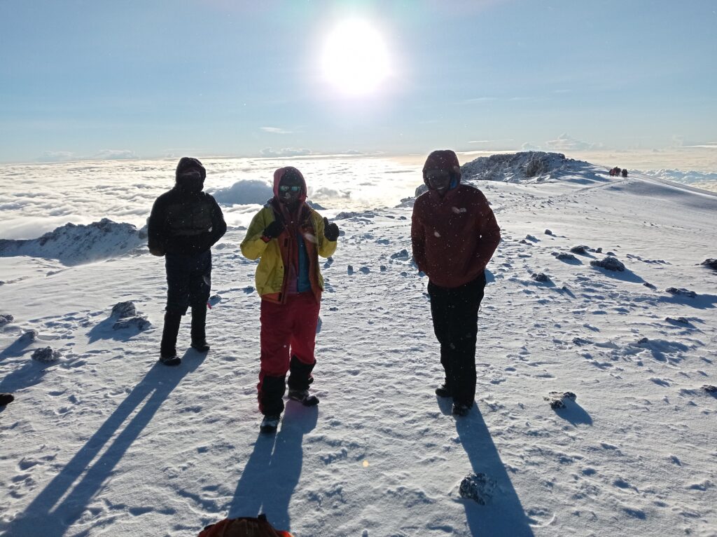
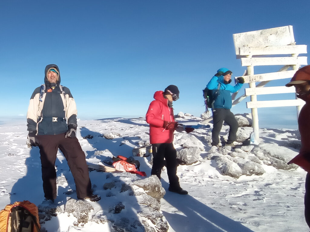
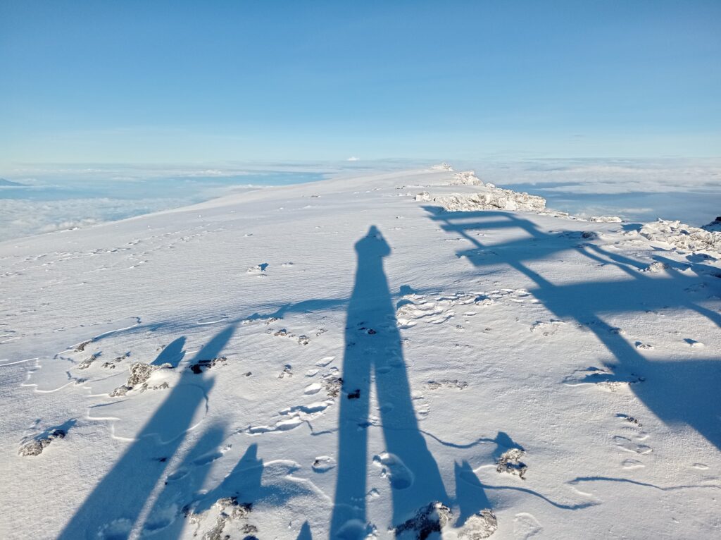
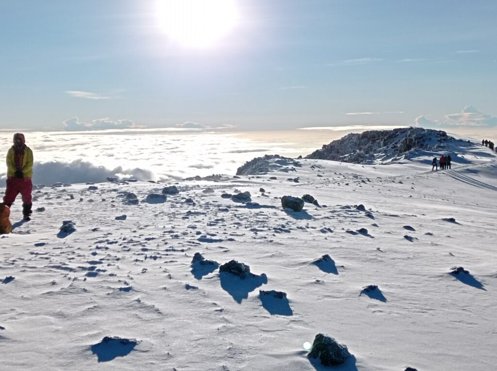
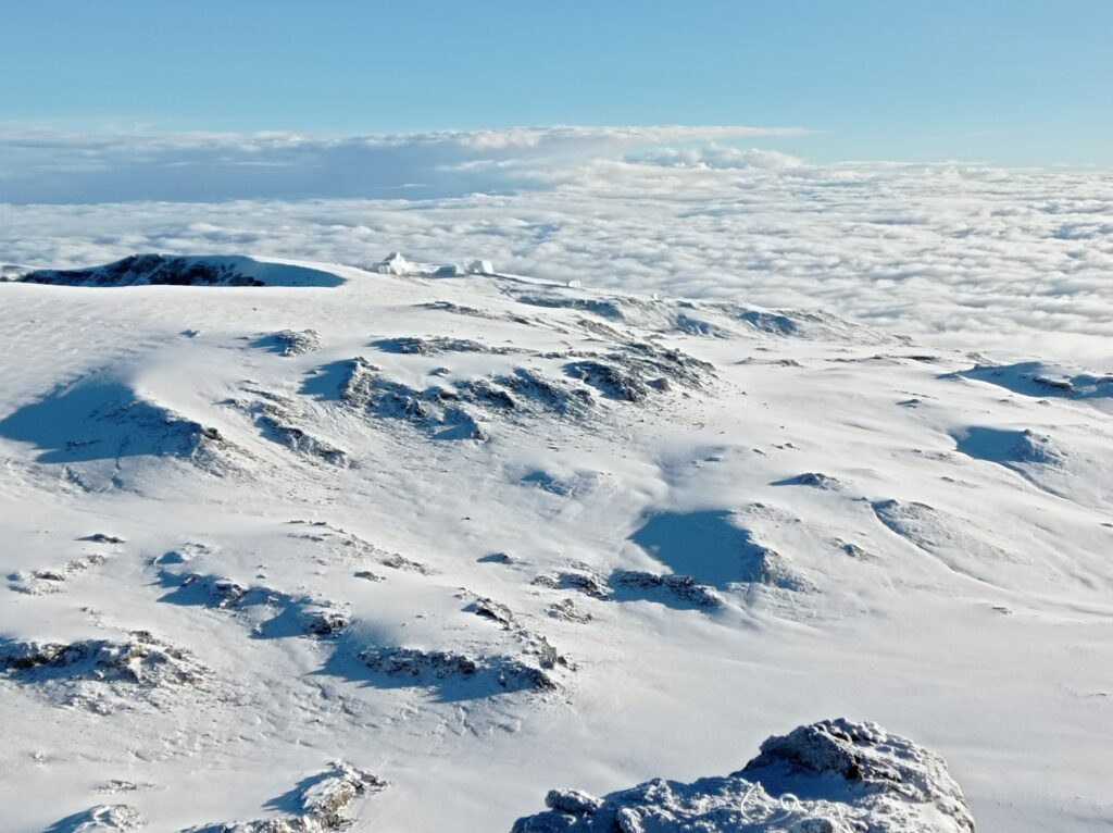
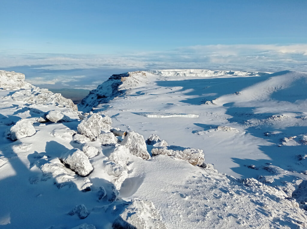
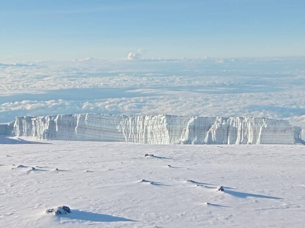
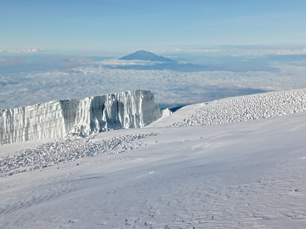
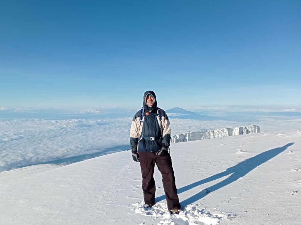
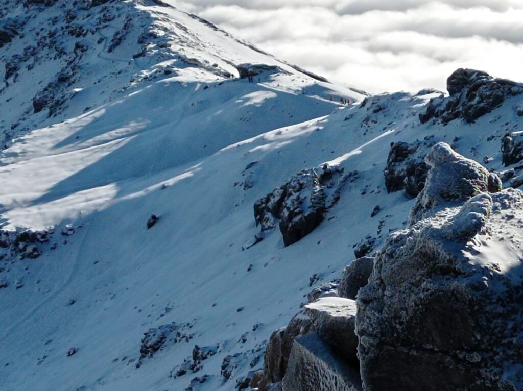
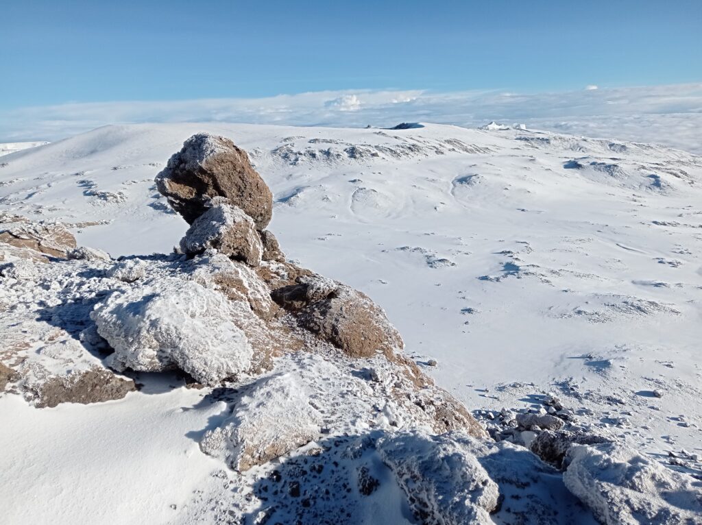
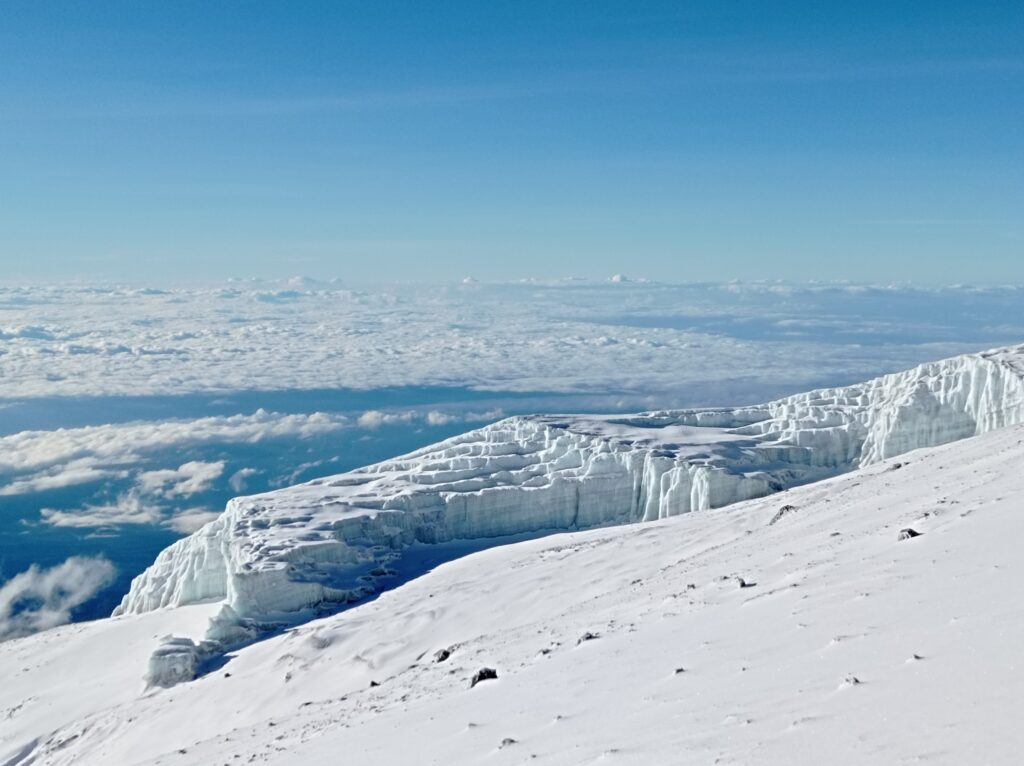
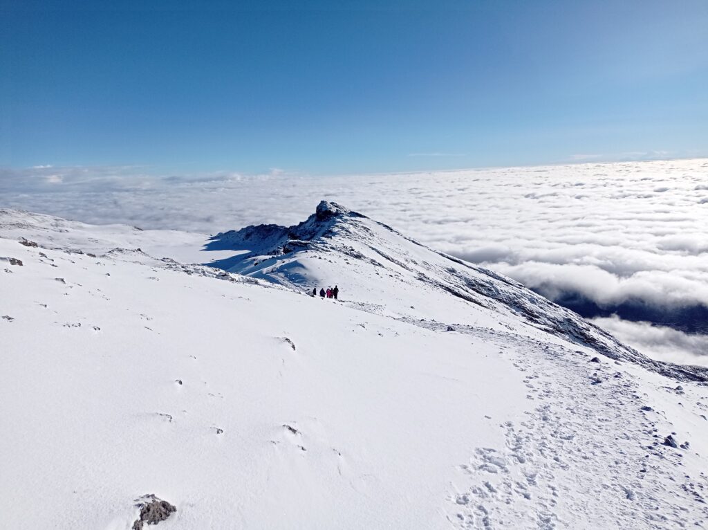
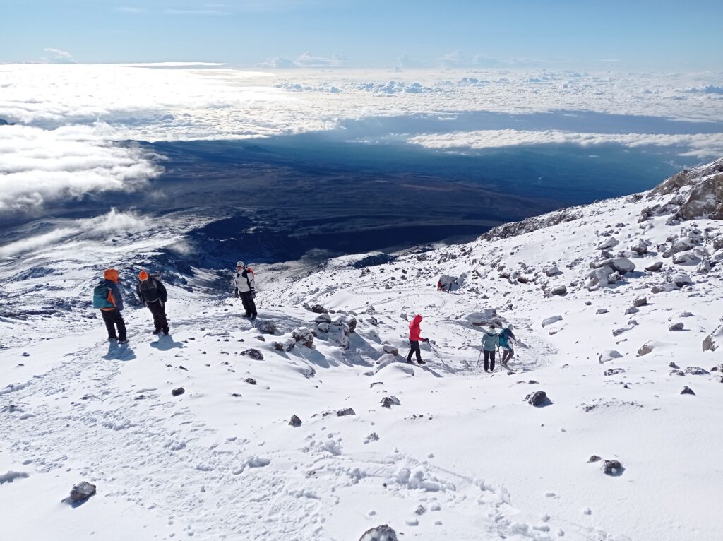
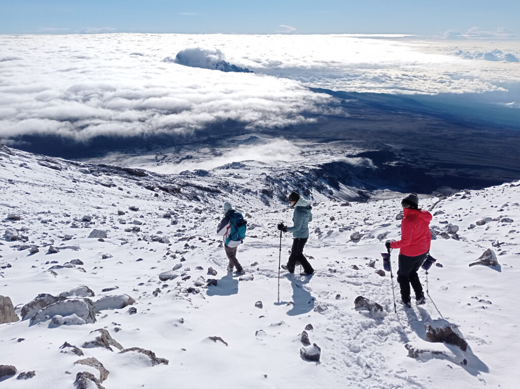
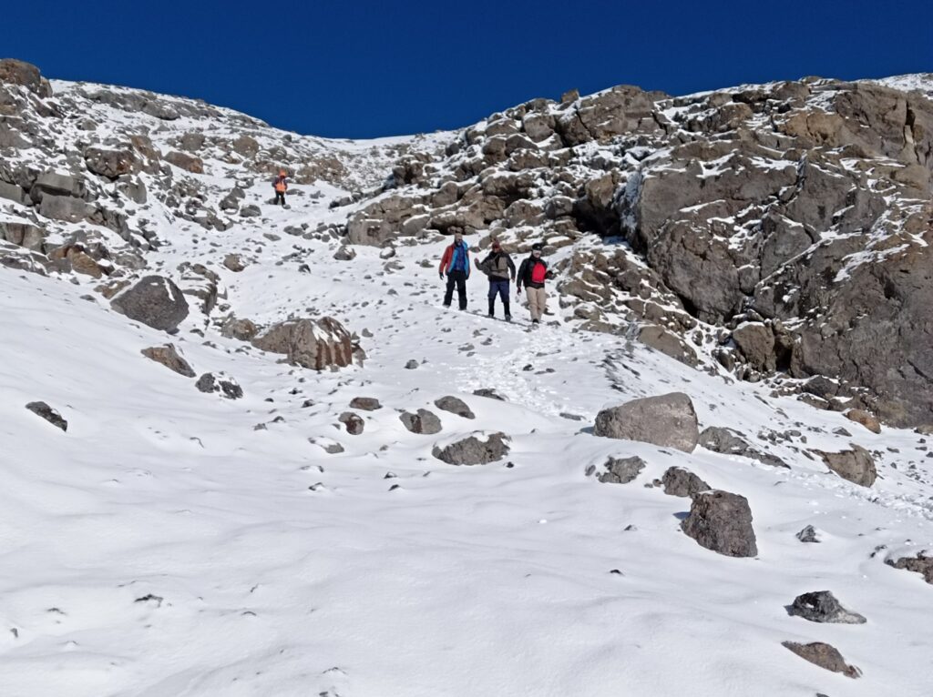
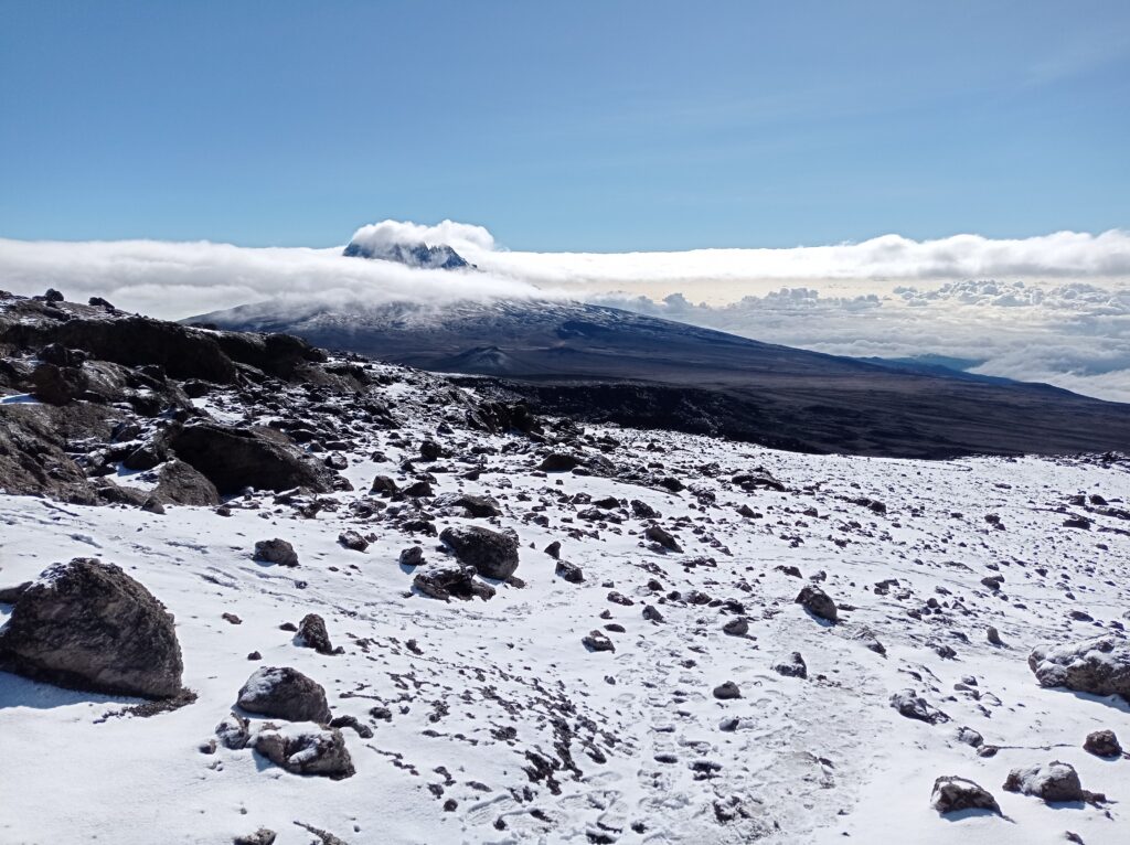
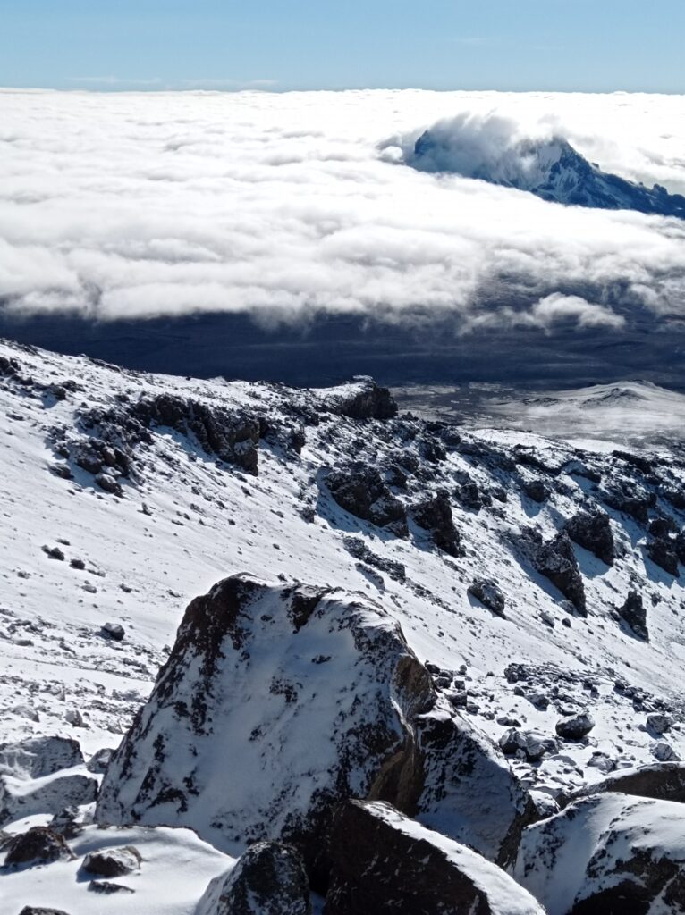
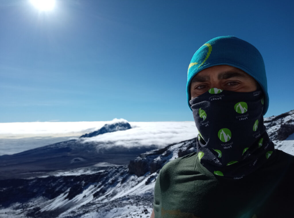
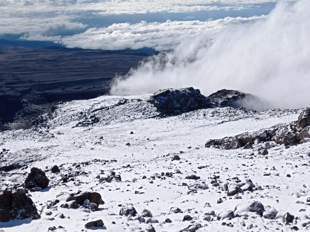
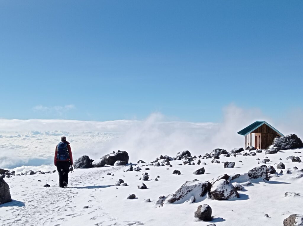
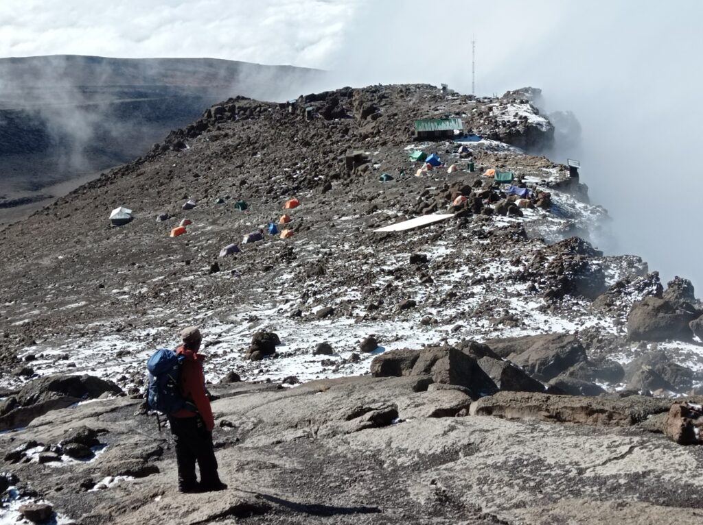
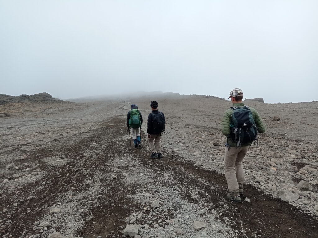
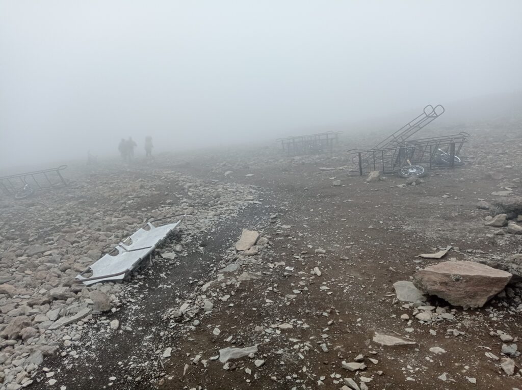
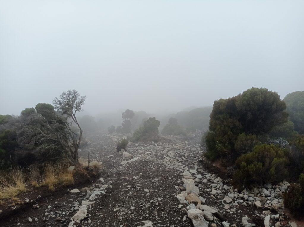
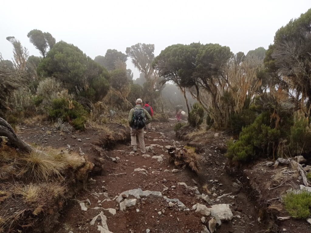
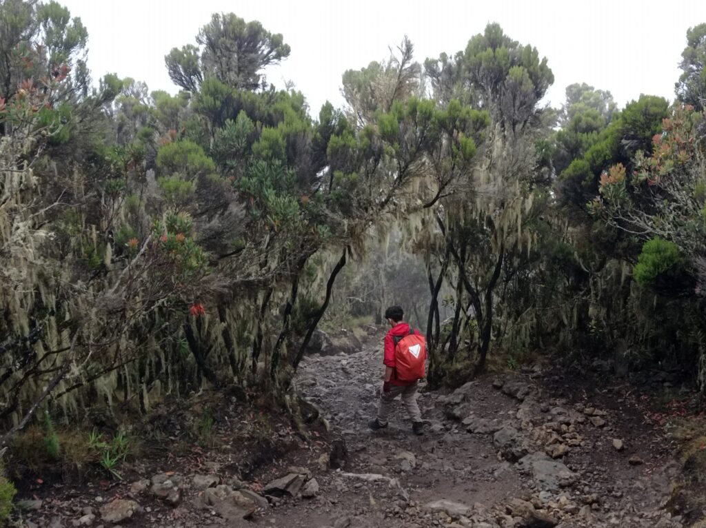
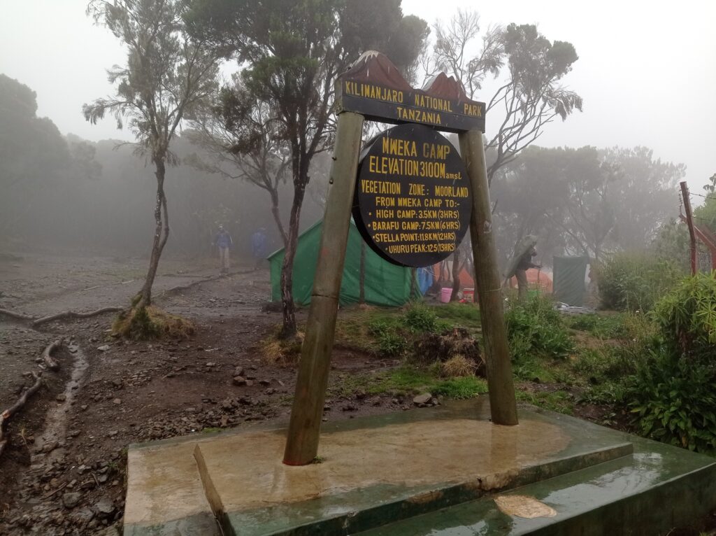
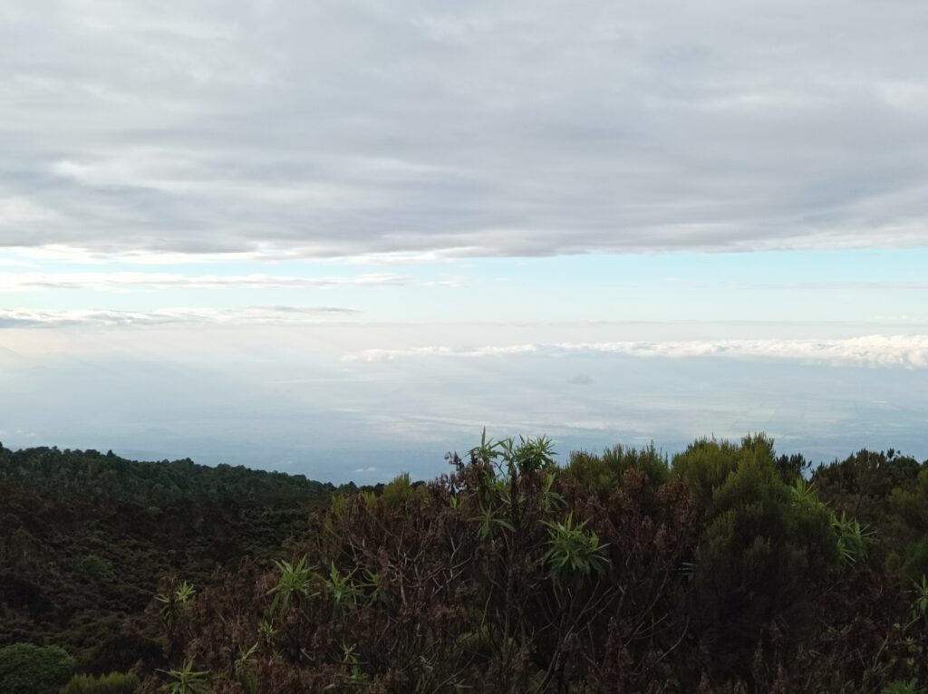
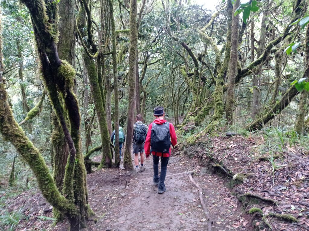
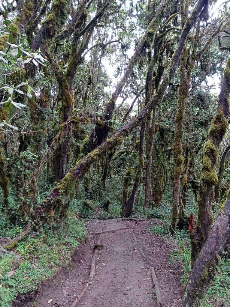
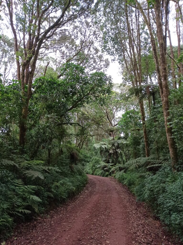
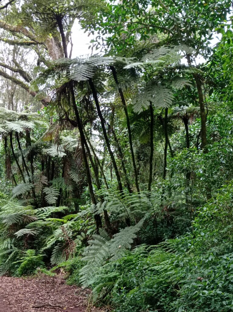
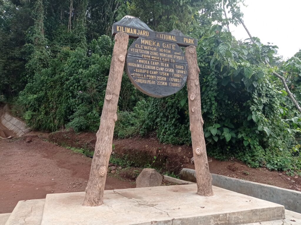